Mount Larrabee
Date: October 10, 2024
Distance: About 10km
Elevation gain: About 1000m
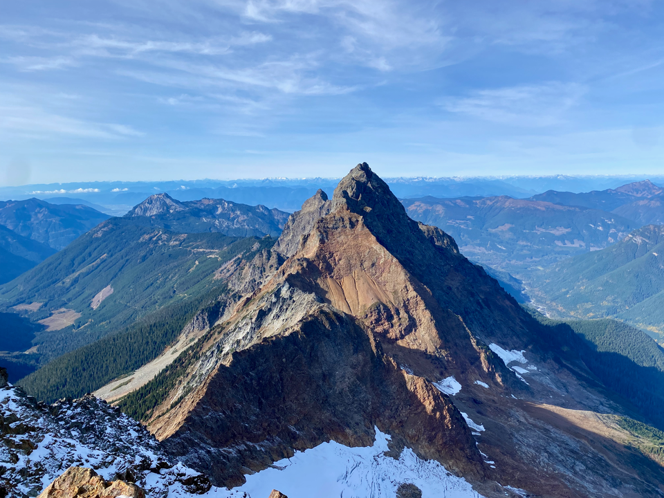
Mount Larrabee is a pyramid-shaped mountain just north of Mount Baker. It's known for its rock quality: the mountain isn’t very solid, especially by Pacific Northwest standards. The ascent involved a 3.5km hike along a scenic alpine trail, a scramble up a steep gully with plenty of loose rock, and a final ascent along the ridge. The reward is an excellent view of the imposing American Border Peak, Mt. Baker, and the rest of the Cascades.
The trailhead requires a Northwest Forest Pass which can be purchased online or at various stores. The online ones wouldn't arrive in time (they mail it to you, you can’t print it) so I had to stop in Bellingham at 9am, when the earliest store selling them (Big 5 Sporting Goods) opened. I could’ve driven 30 minutes south to Sedro-Woolley and bought a pass at 8am, but I left late enough that it didn’t matter. As a result the hike started later than ideal, but the short distance and excellent condition of the trail made up for that.
The hike starts from the Twin Lakes parking lot at the end of Twin Lakes Road (Forest Service road 3065), which also leads to the Yellow Aster Butte trail. Many online reviews mention the bad condition of this road, but most of these reviews seem to be from Americans not used to the carnage of BC FSRs. From a BC standard, the first part of this road was very smooth. Ironically, it was too smooth: road crews had clearly placed material on the road recently, which turned to mud with the previous day’s rainfall, making the road very slippery. There were a few exciting moments in steeper spots. After a couple kilometres the forest opened up and the mud ended. Even on a weekday, there were about 20 cars at the Yellow Aster Butte trailhead. Past that, the road climbed up another slope and became rougher, although still pretty good by BC standards. 4WD and medium/high clearance recommended.
The Twin Lakes parking lot is located on an isthmus between the two lakes, both a brilliant blue colour. Fall colours had just peaked but there were plenty of red and orange leaves around to admire.
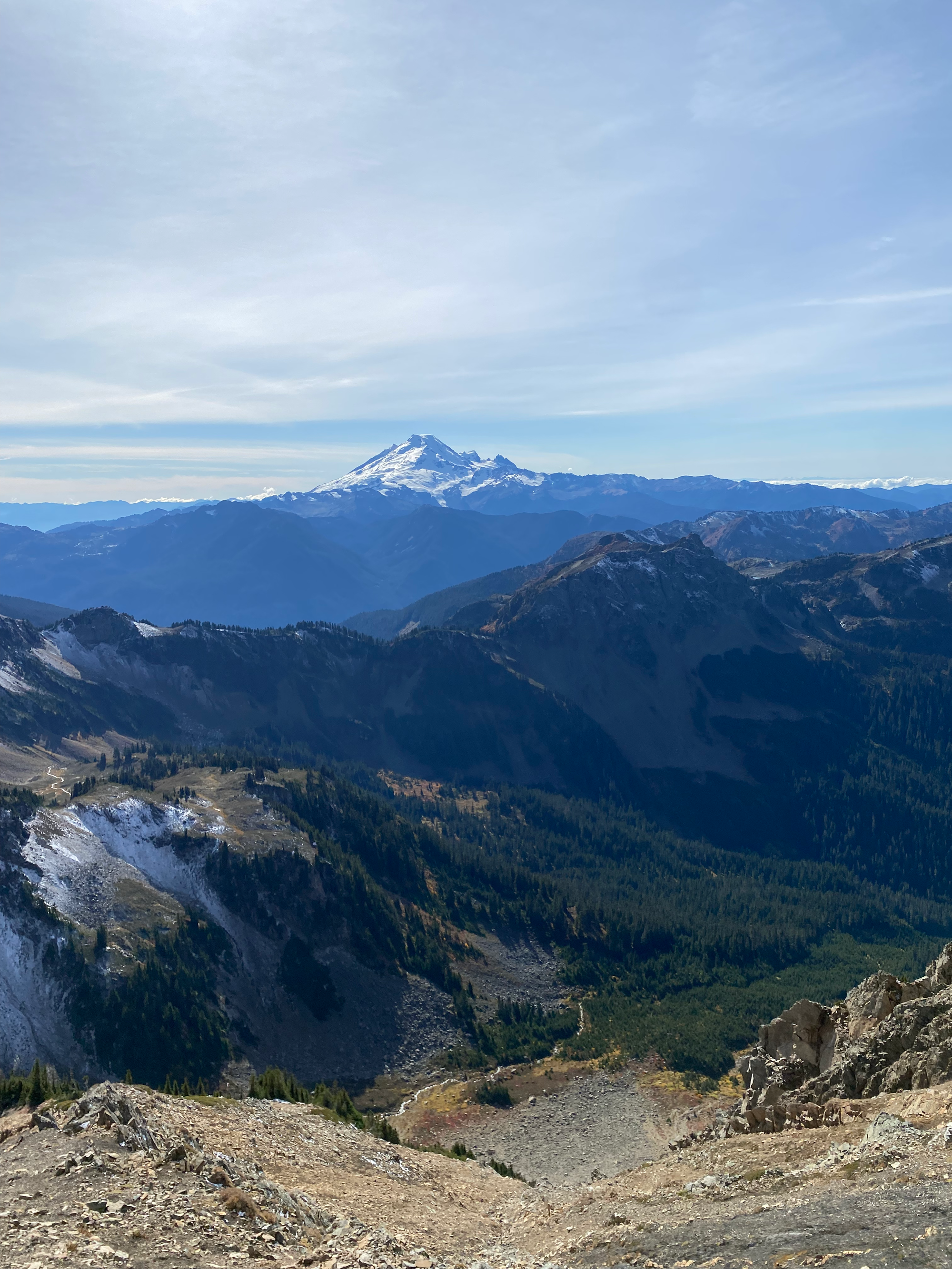
Like most Washington trails, this one was well-maintained and was in excellent shape. I passed the turnoff to Mt. Winchester and jogged to reach Low Pass, between Winchester and an unnamed peak. It didn’t take long for Mt. Larrabee to be visible, looming above the trail.
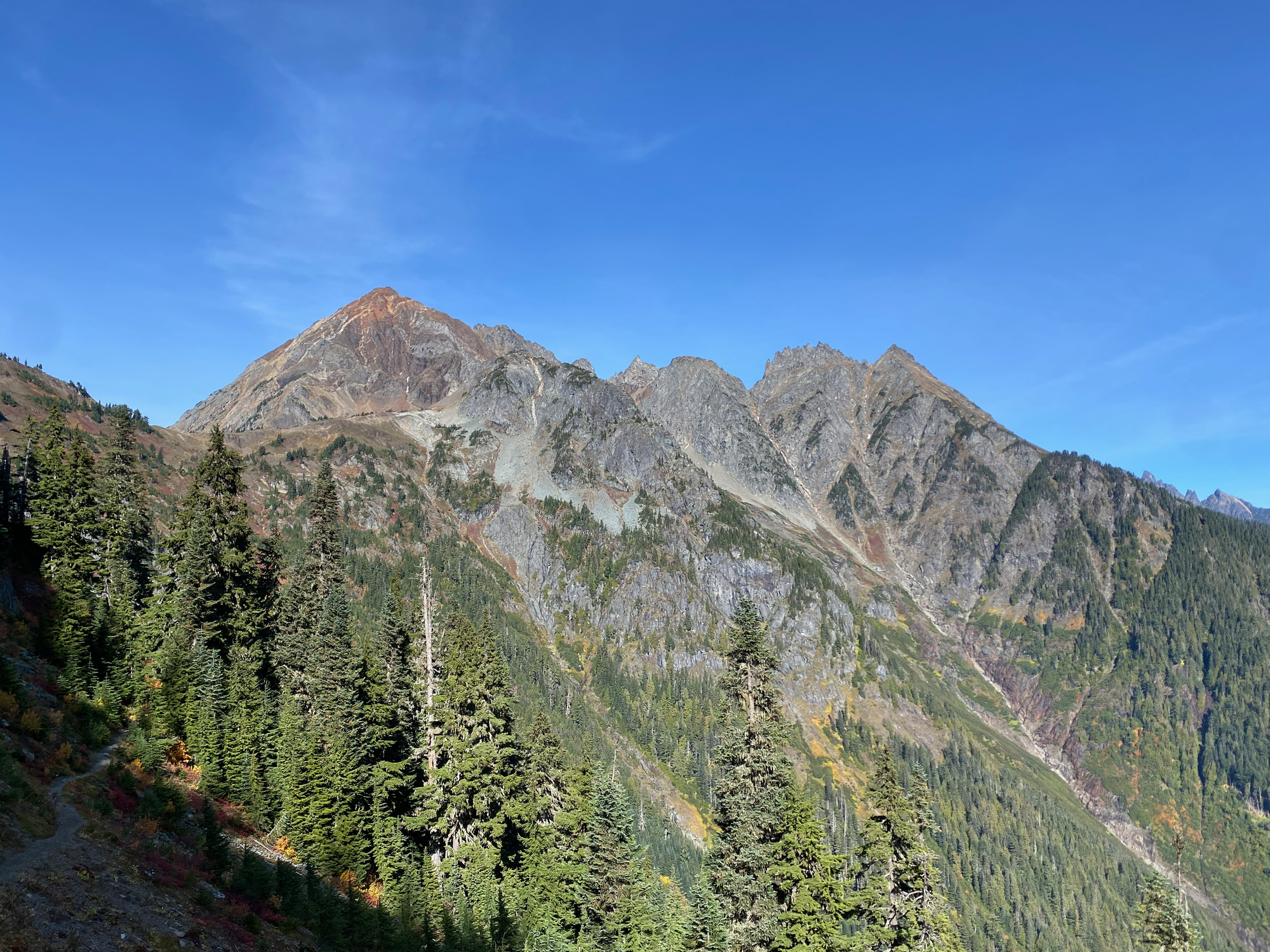
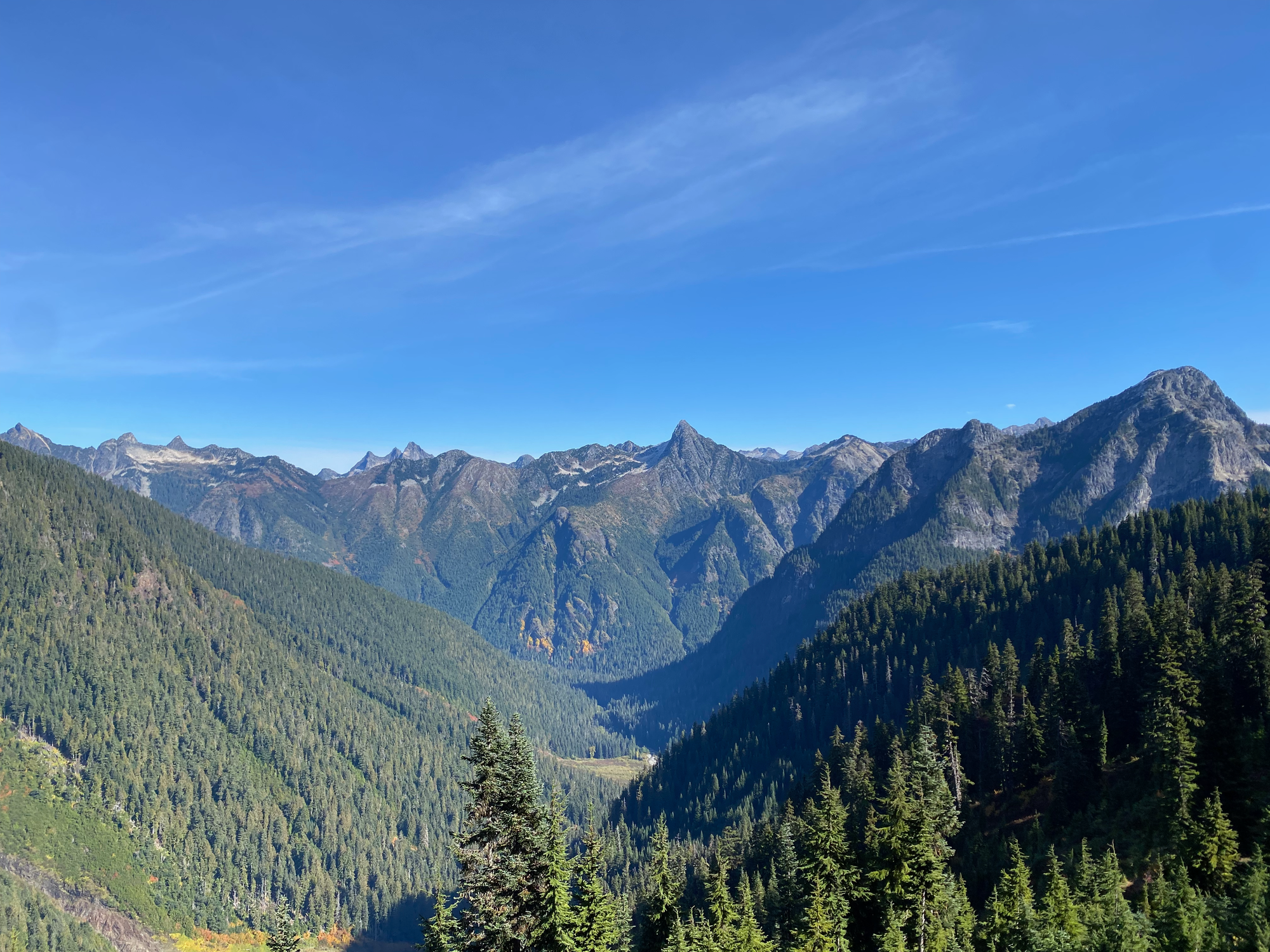
Past Low Pass, the trail bypassed another bump to reach the aptly-named High Pass, where I met a hiker who told me he'd encountered a bear near Low Pass that morning. I was very careful for the rest of the day.
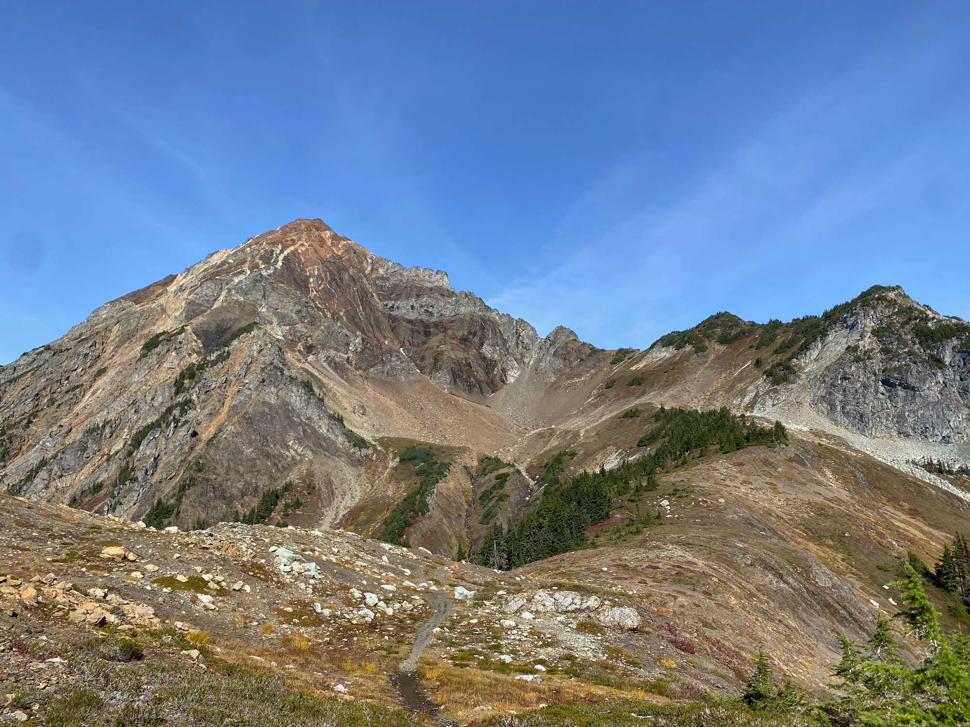
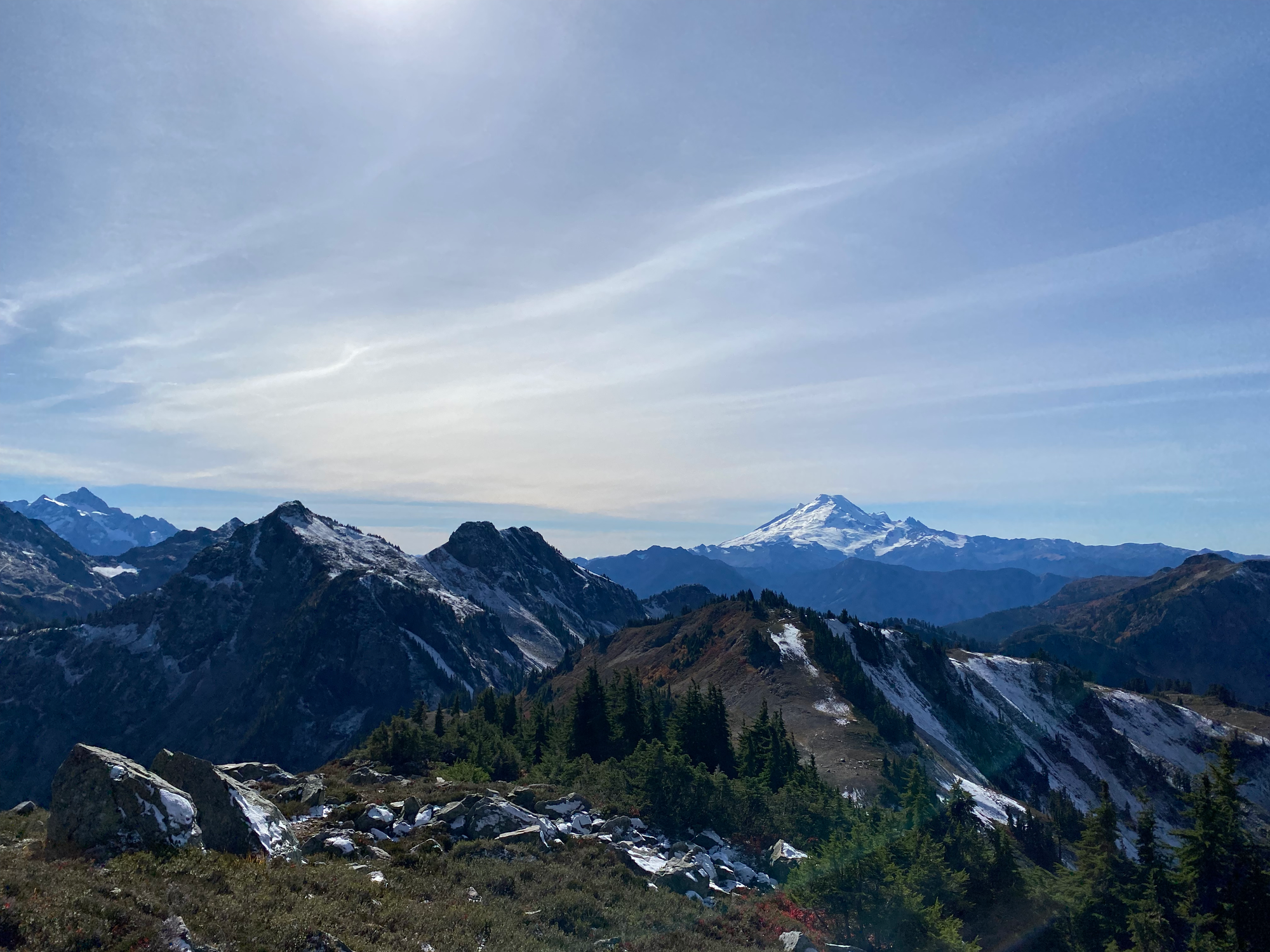
From High Pass the route leaves the trail and descends into a bowl below the peak. At first I missed the turnoff and had to backtrack. No trail leads to the bowl, but trampled areas of vegetation show that others have been here.
The scramble began at the bowl. I put my helmet on and climbed a scree slope, reaching the ridge at about 2120m.
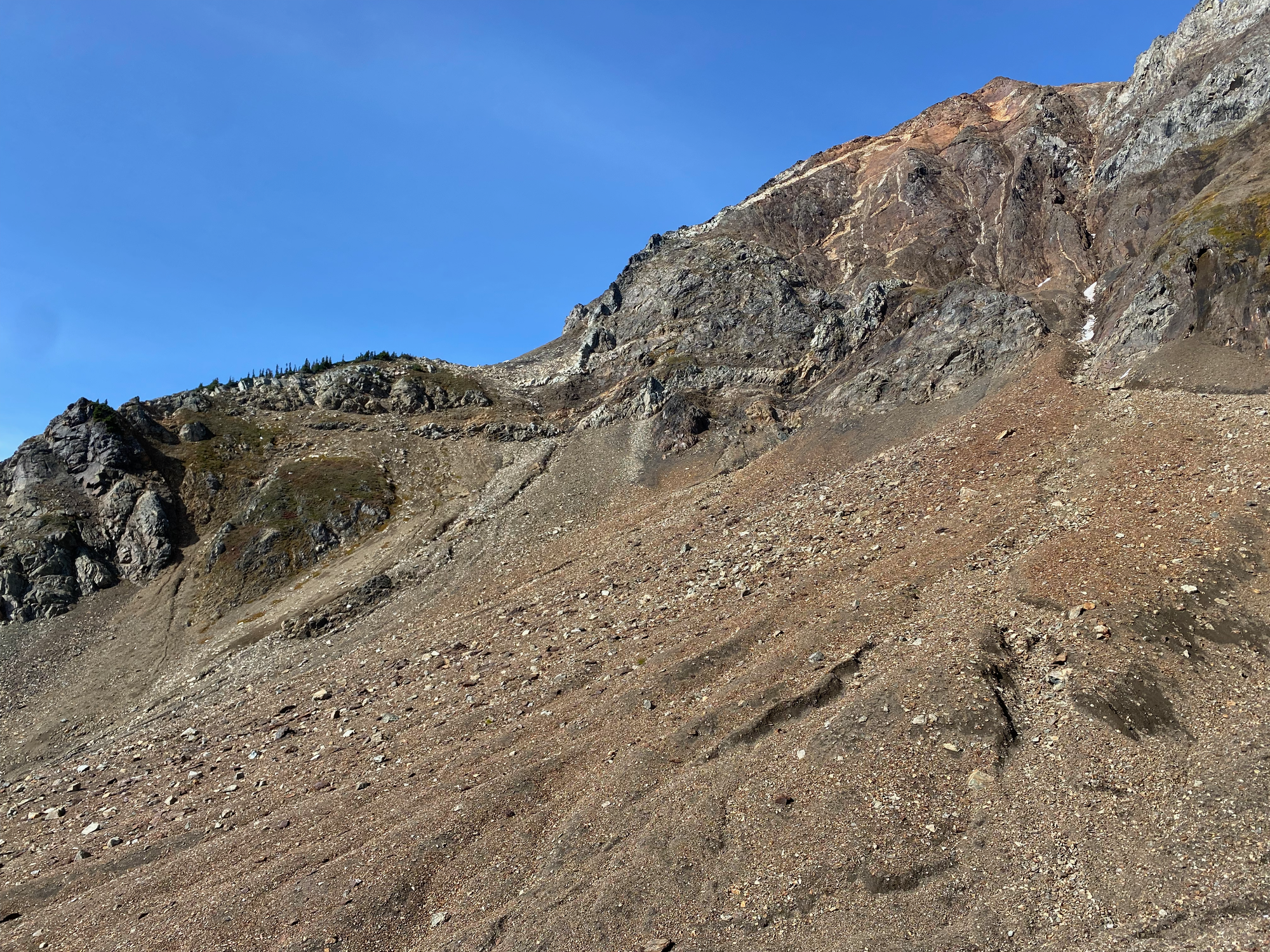
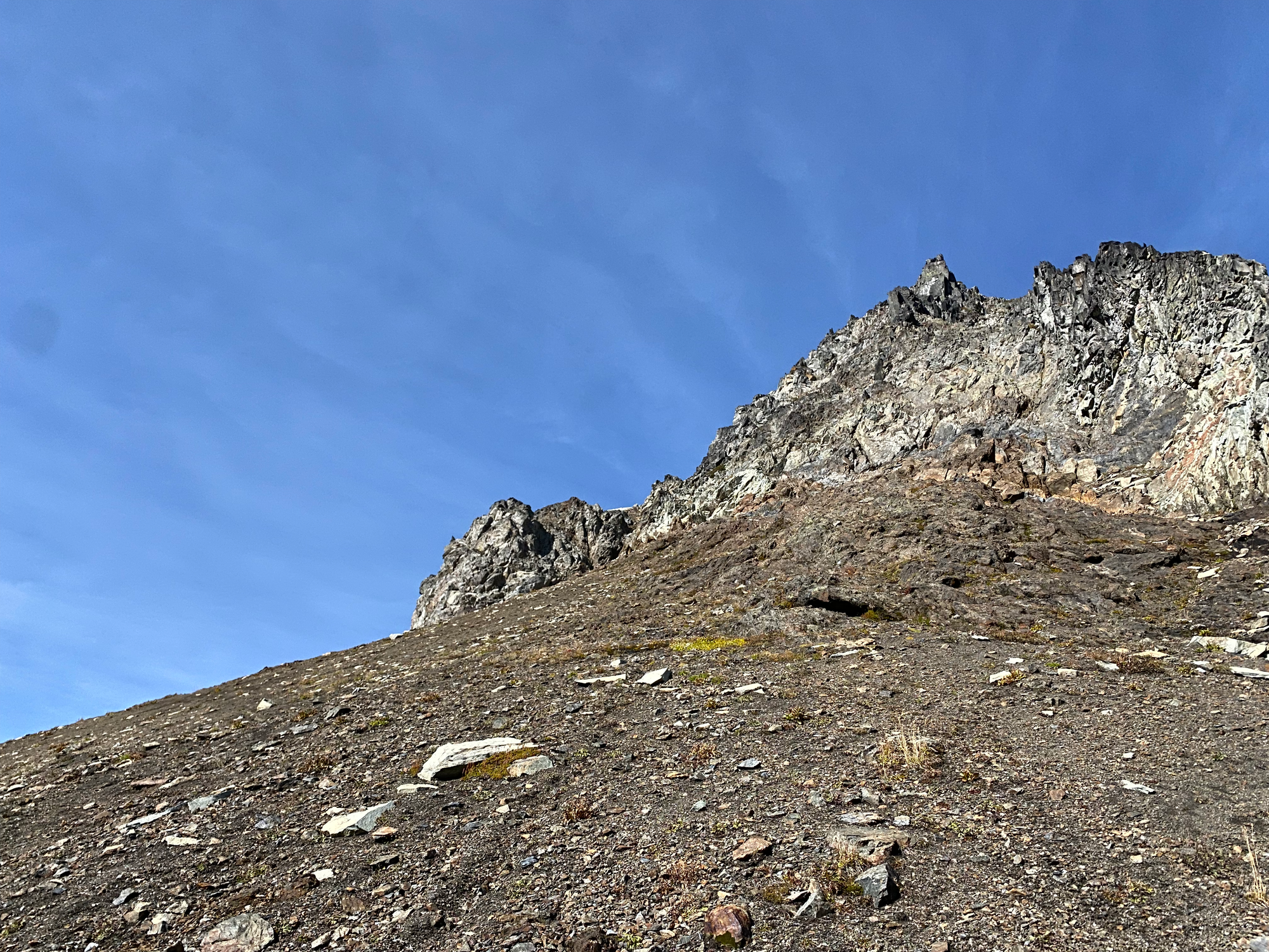
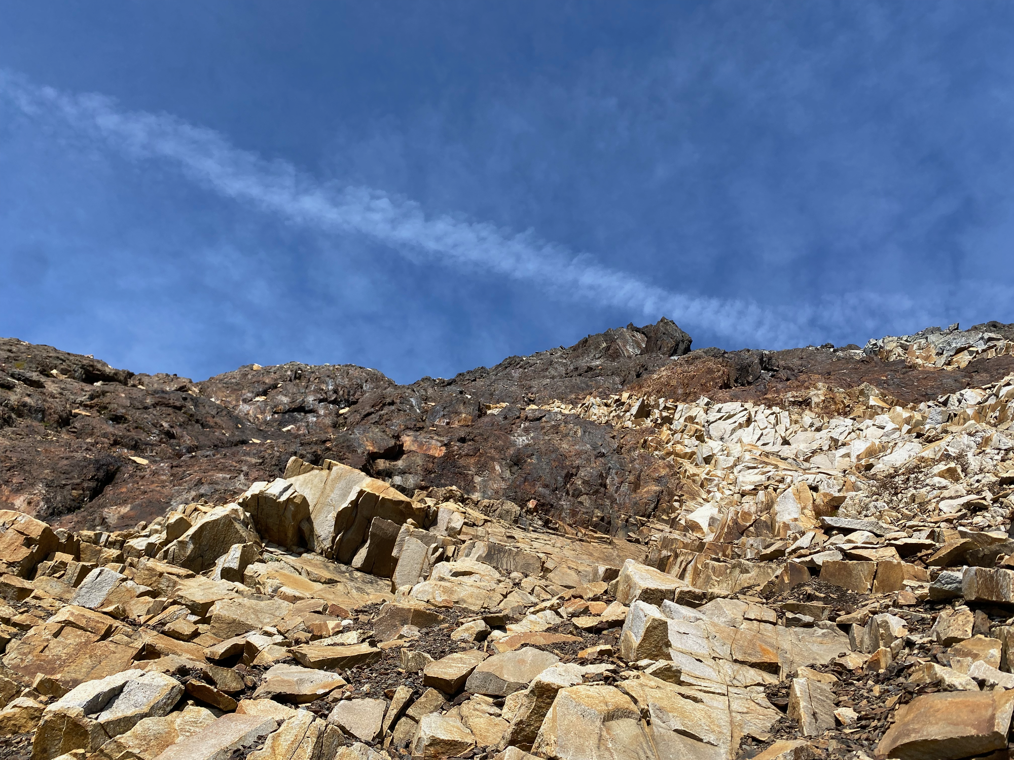
The next challenge was a steep gully that had to be ascended. The rock was loose - although not quite as loose as Frosty Mtn. the previous week - and it was very easy to dislodge stones. Luckily for me, it was a weekday and there was no one above or below me.
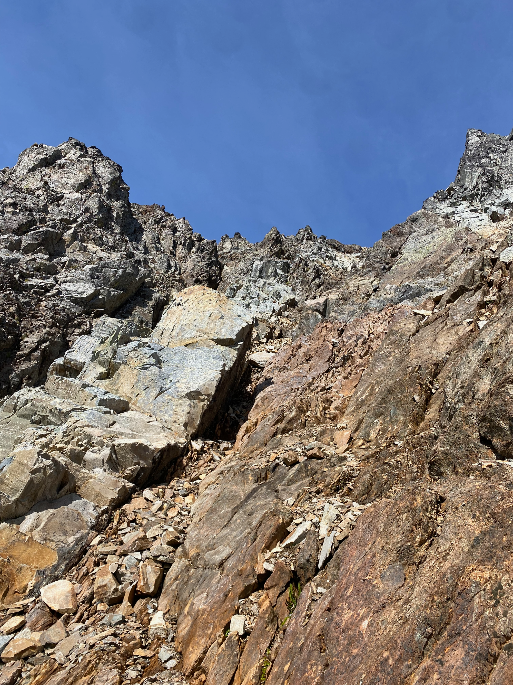
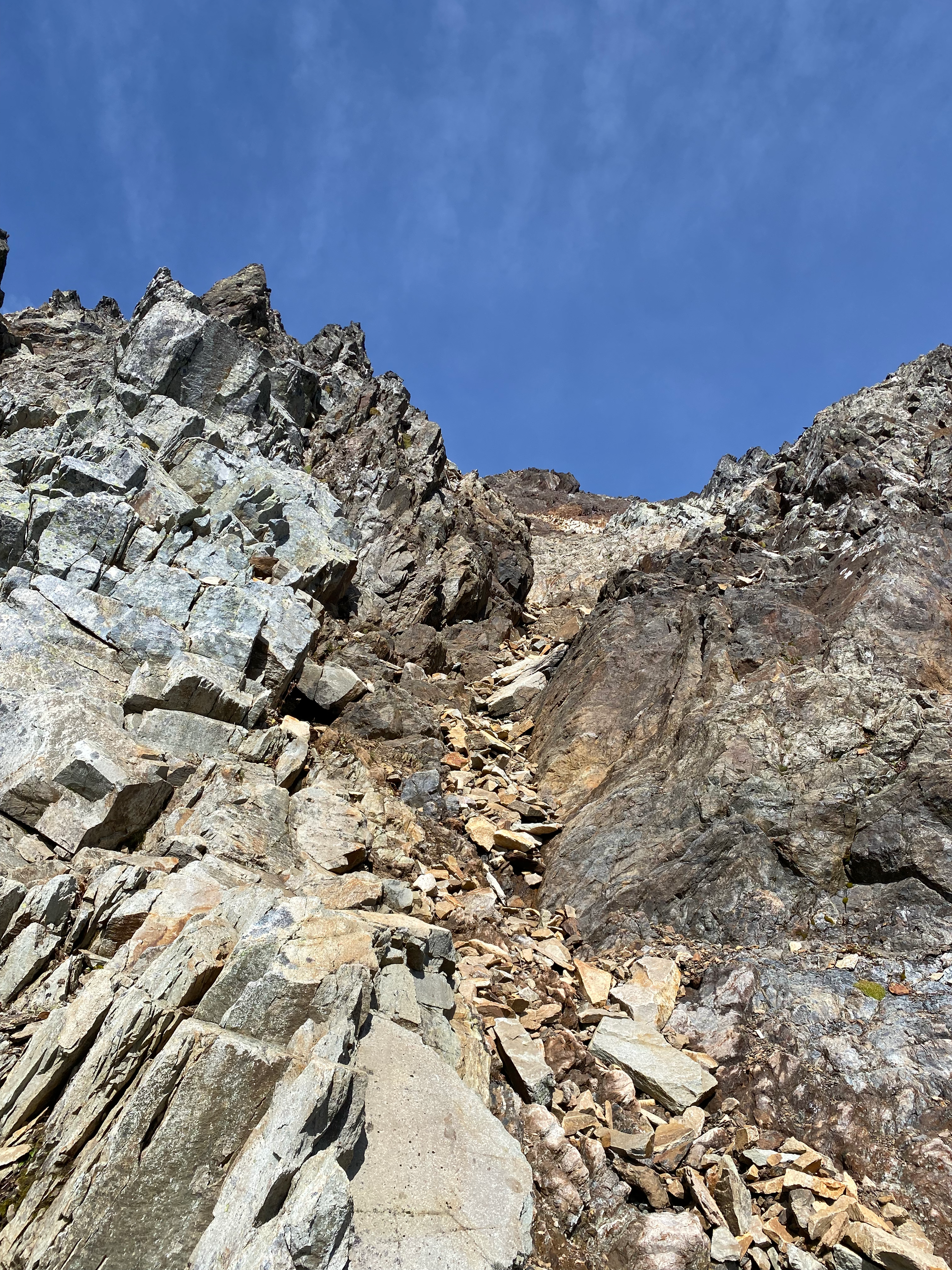
After a while the gully opened up and the scramble route continued, mostly following the ridge to climber’s left (west). Eventually there was no more mountain to climb.
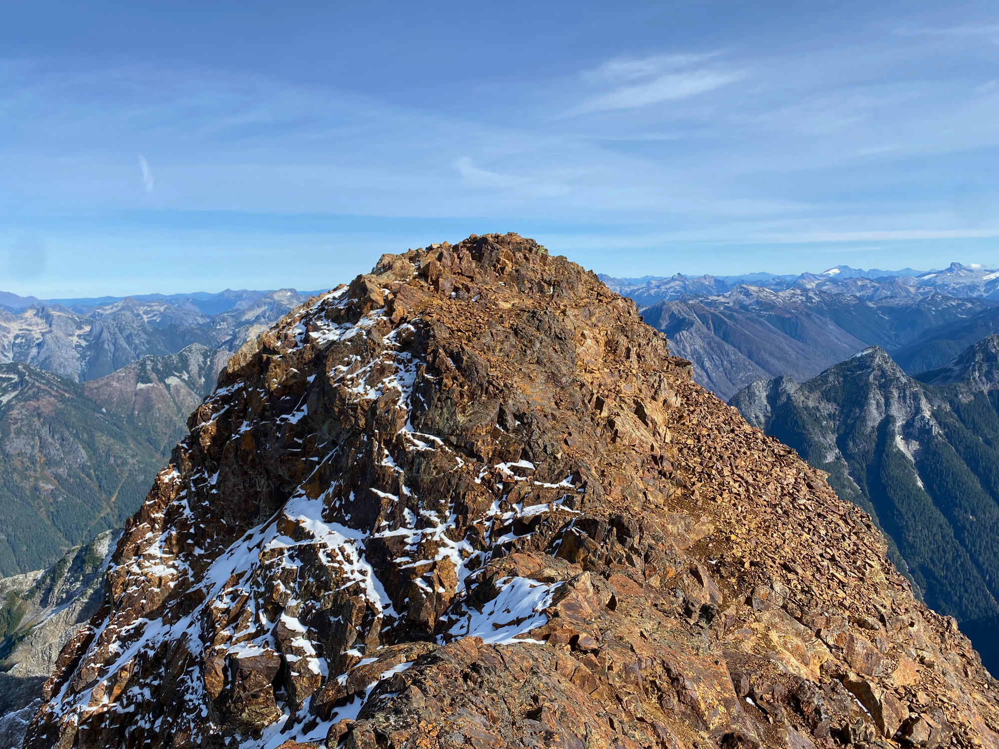
I took a long break on a flat area on the summit. This could accommodate a small tent, as long as you don’t roll over in your sleep! The summit had front row seats to American Border Peak, further along the ridge (unfortunately it blocks Canadian Border Peak). There were also excellent views of the Cheam Range and most of the major Chilliwack Valley peaks, especially McGuire and Slesse. The North Shore Mountains could actually be seen to the left of McGuire. To the south, Baker was very visible and I could just barely make out Rainier in the distance.
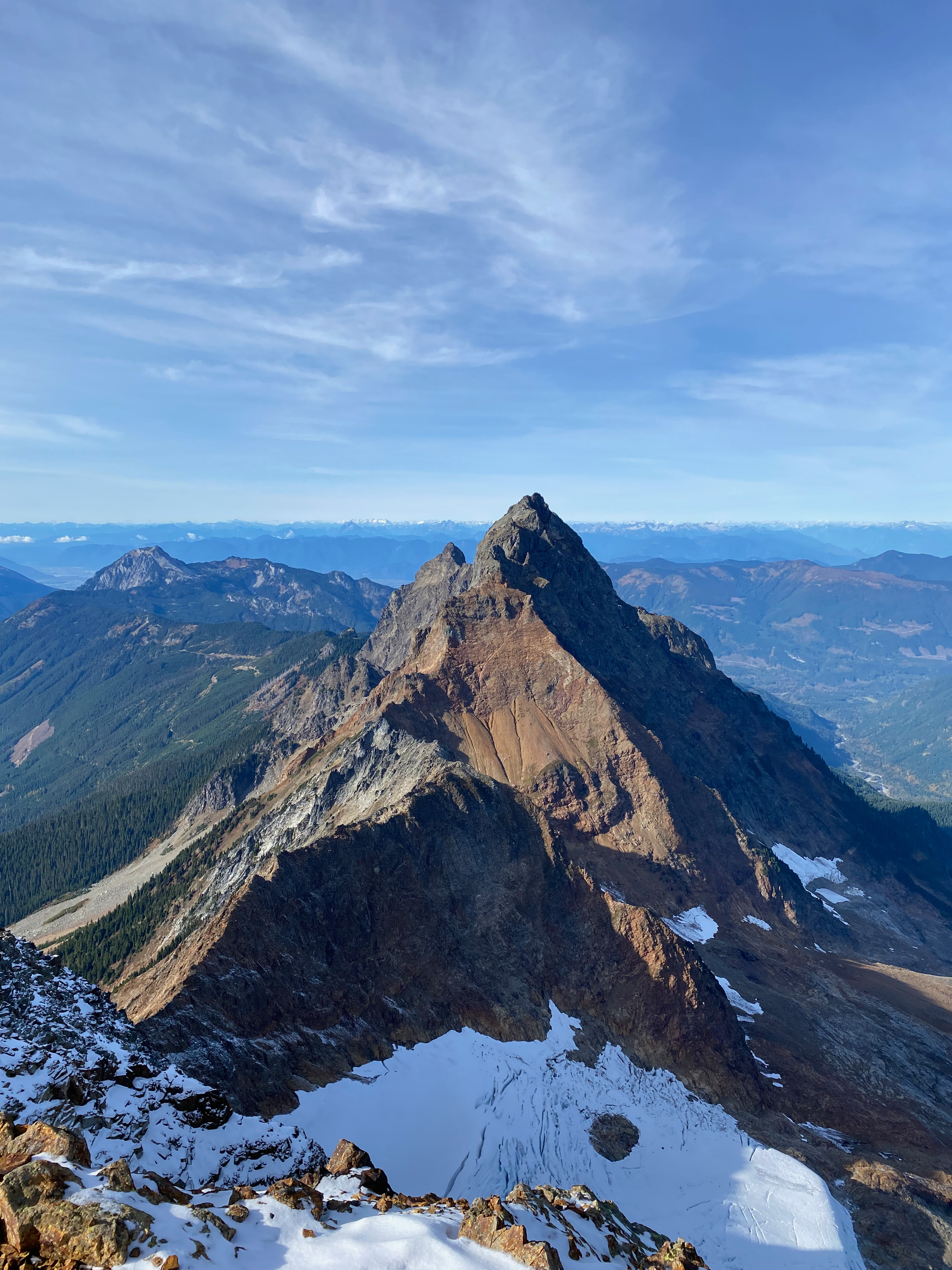
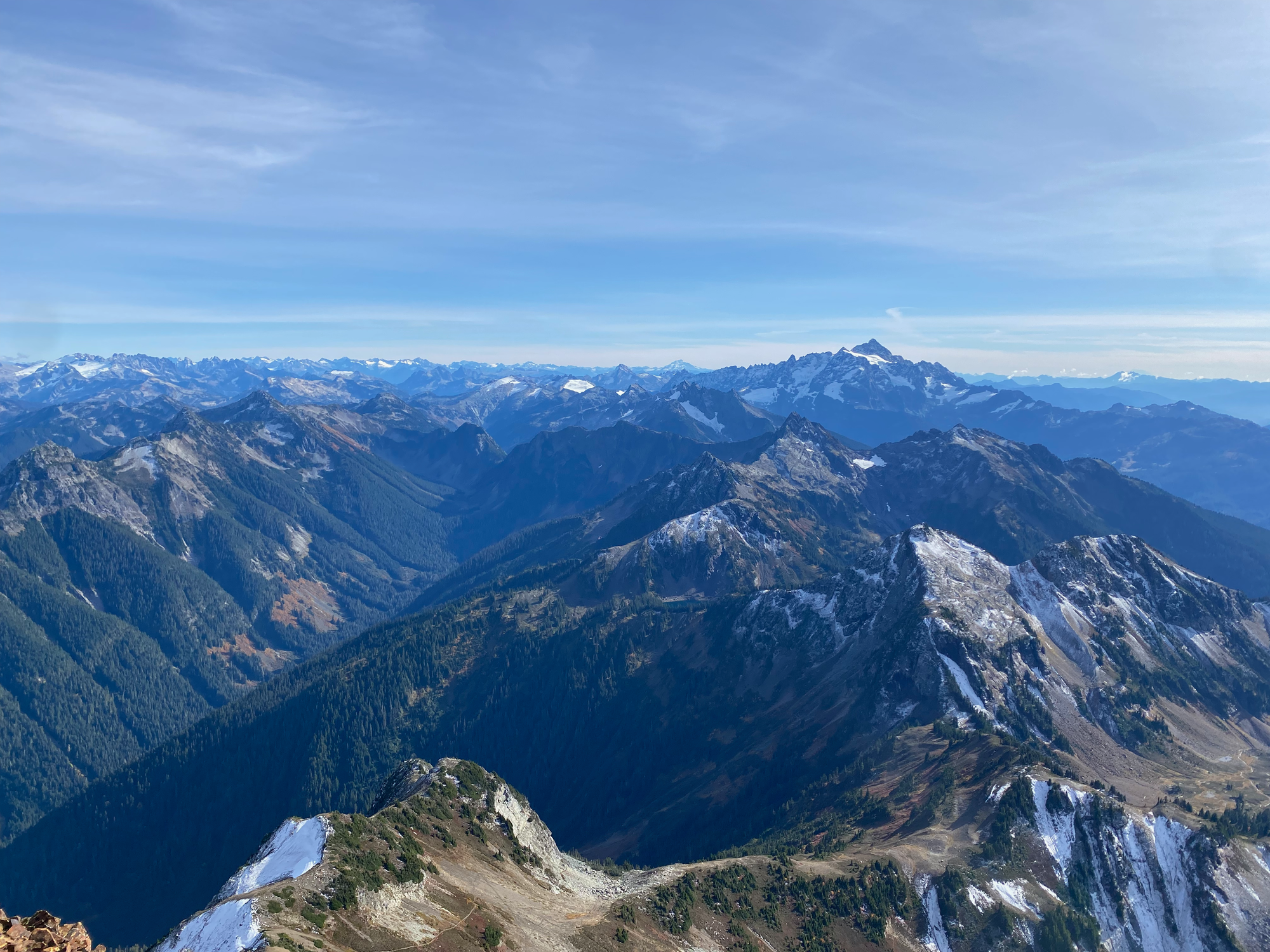
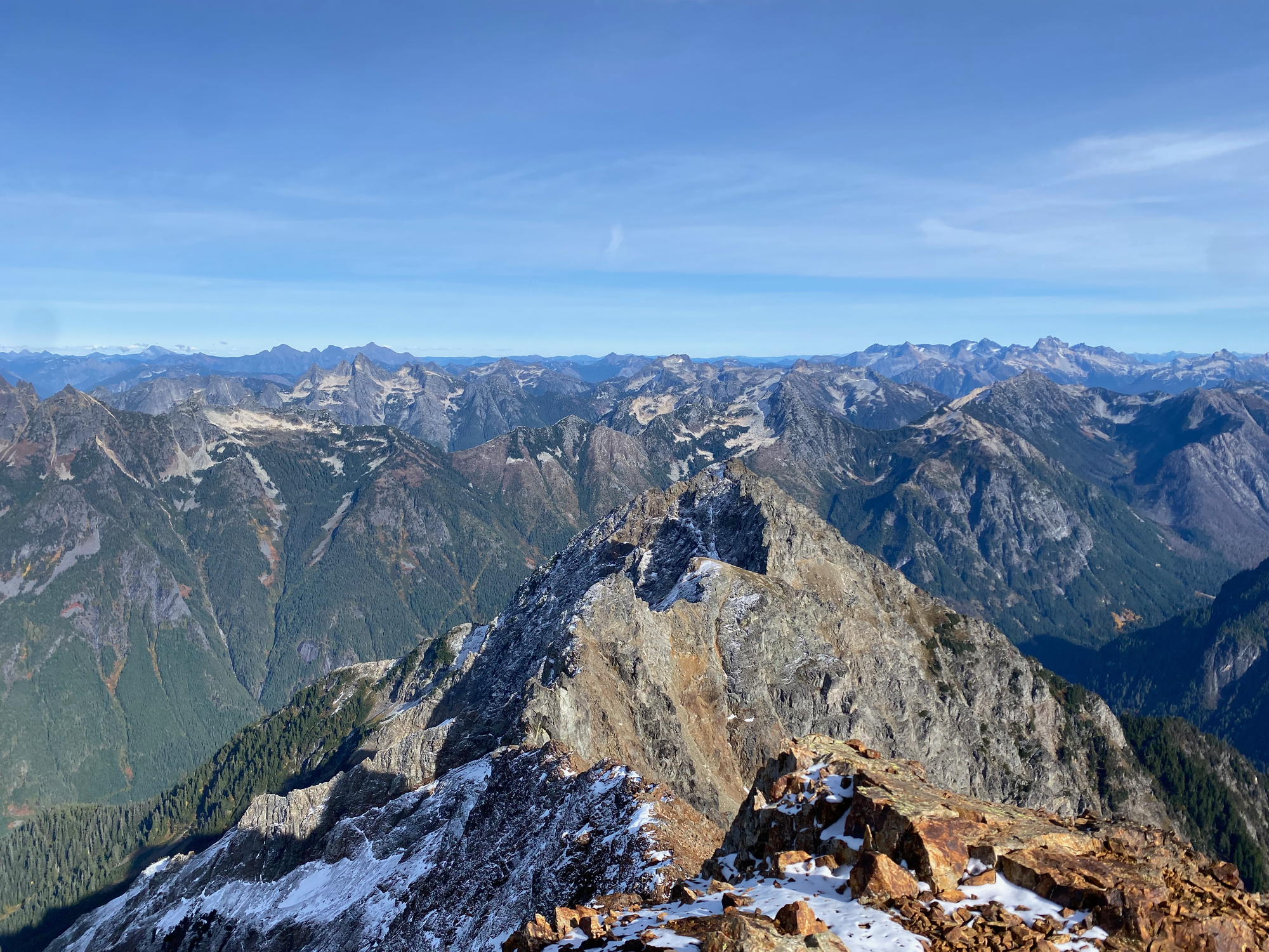
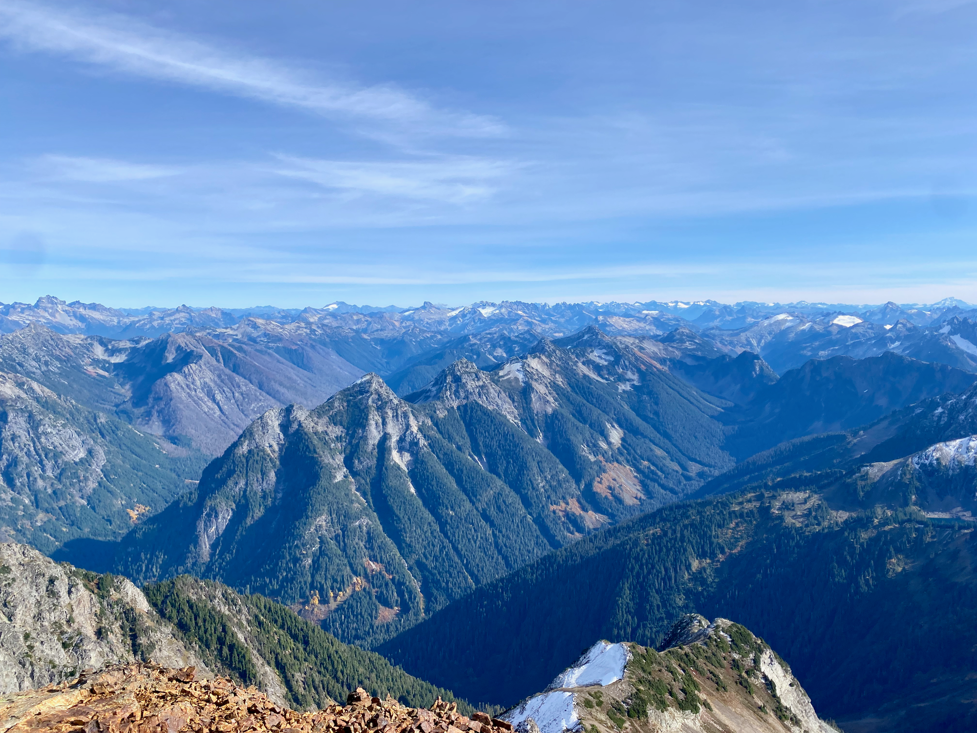
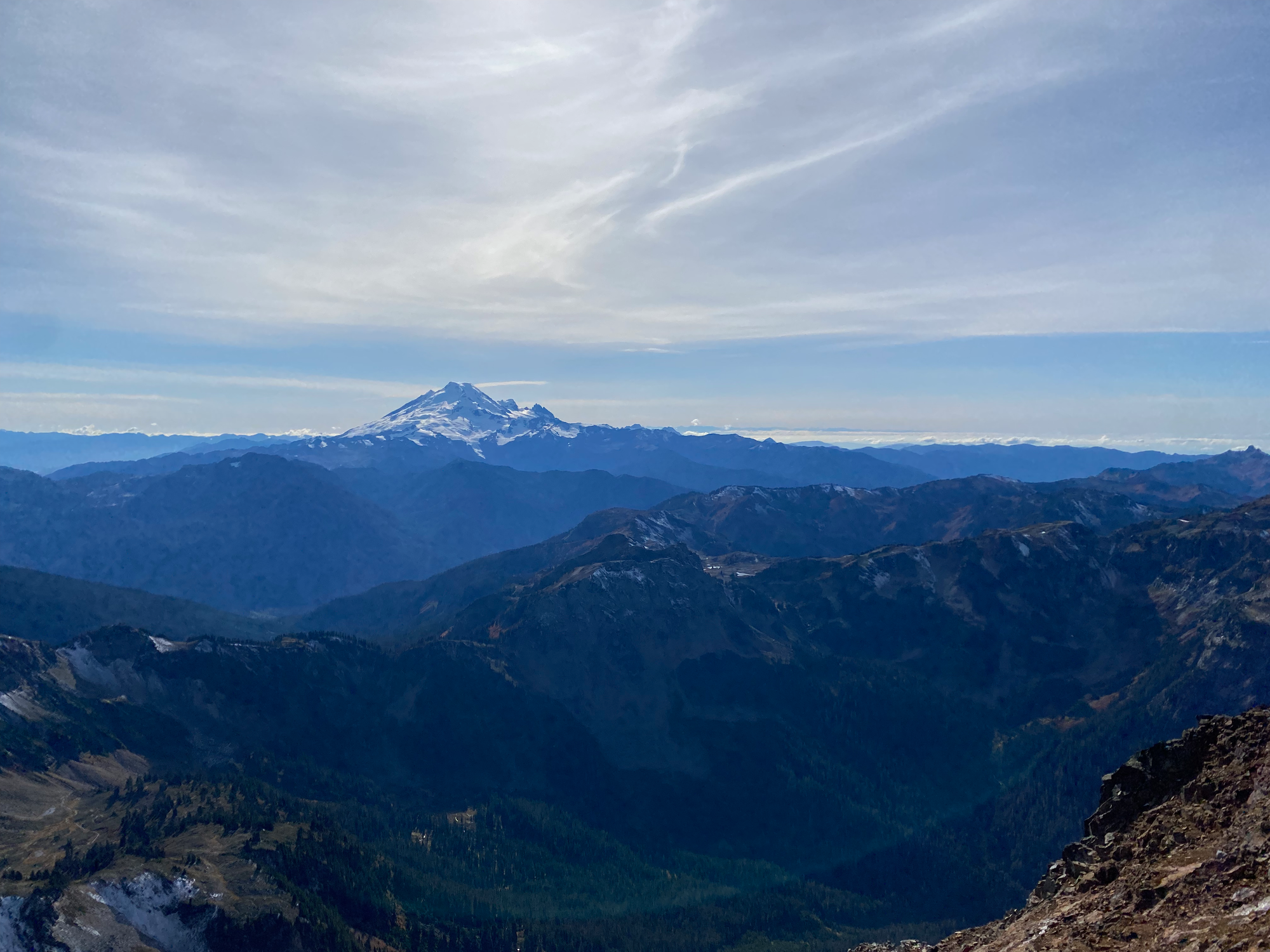
The descent went by quickly and somehow felt less loose than the ascent. I stayed slightly further east for most of the gully, which might have helped.
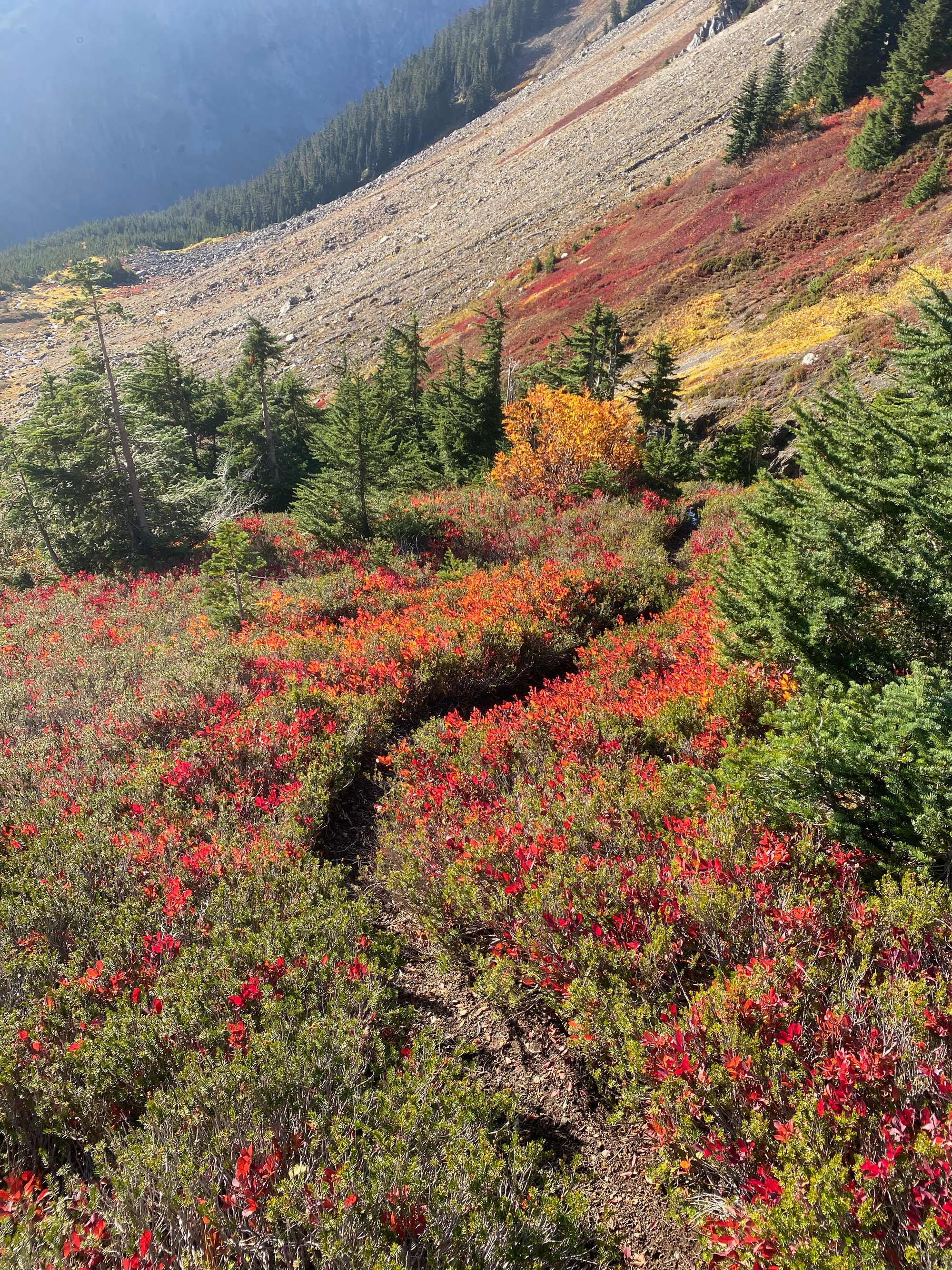
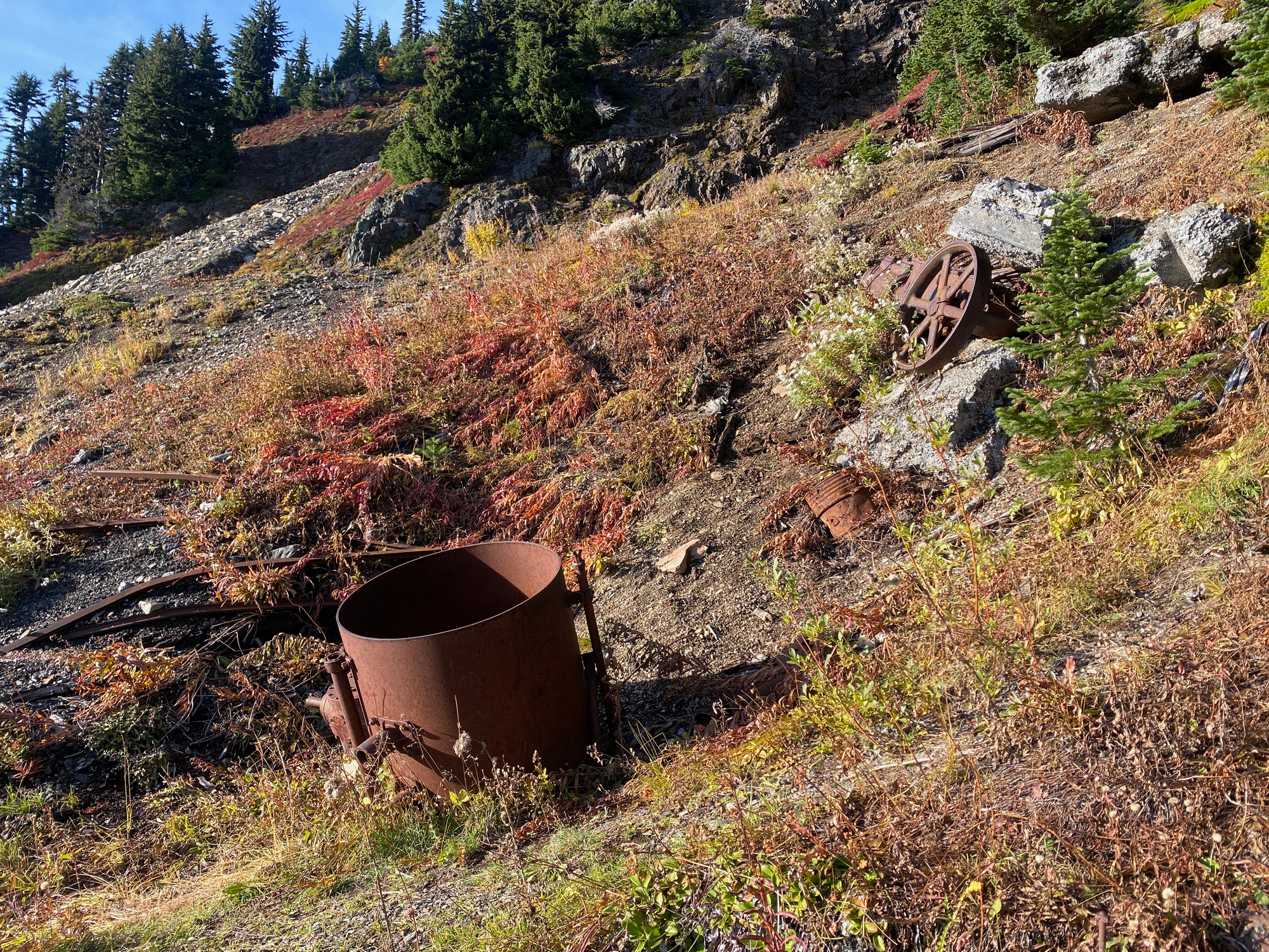
At High Pass I took a quick detour to visit the Gargett Mine. The mineral-rich red rocks of Mt. Larrabee attracted many prospectors looking to strike it rich. Among them were the Gargett brothers, who mined the area for 43 years, starting in 1901. The mine was never very successful and it was eventually abandoned [Mount Baker Experience Magazine, "Forgotten Gold Mines of the North Fork", Posted Thursday, August 31, 2023 2:33 pm]. Some remnants of old metal machinery and mineshafts remain to make the detour worthwhile. I didn't go too far off the trail for obvious reasons.
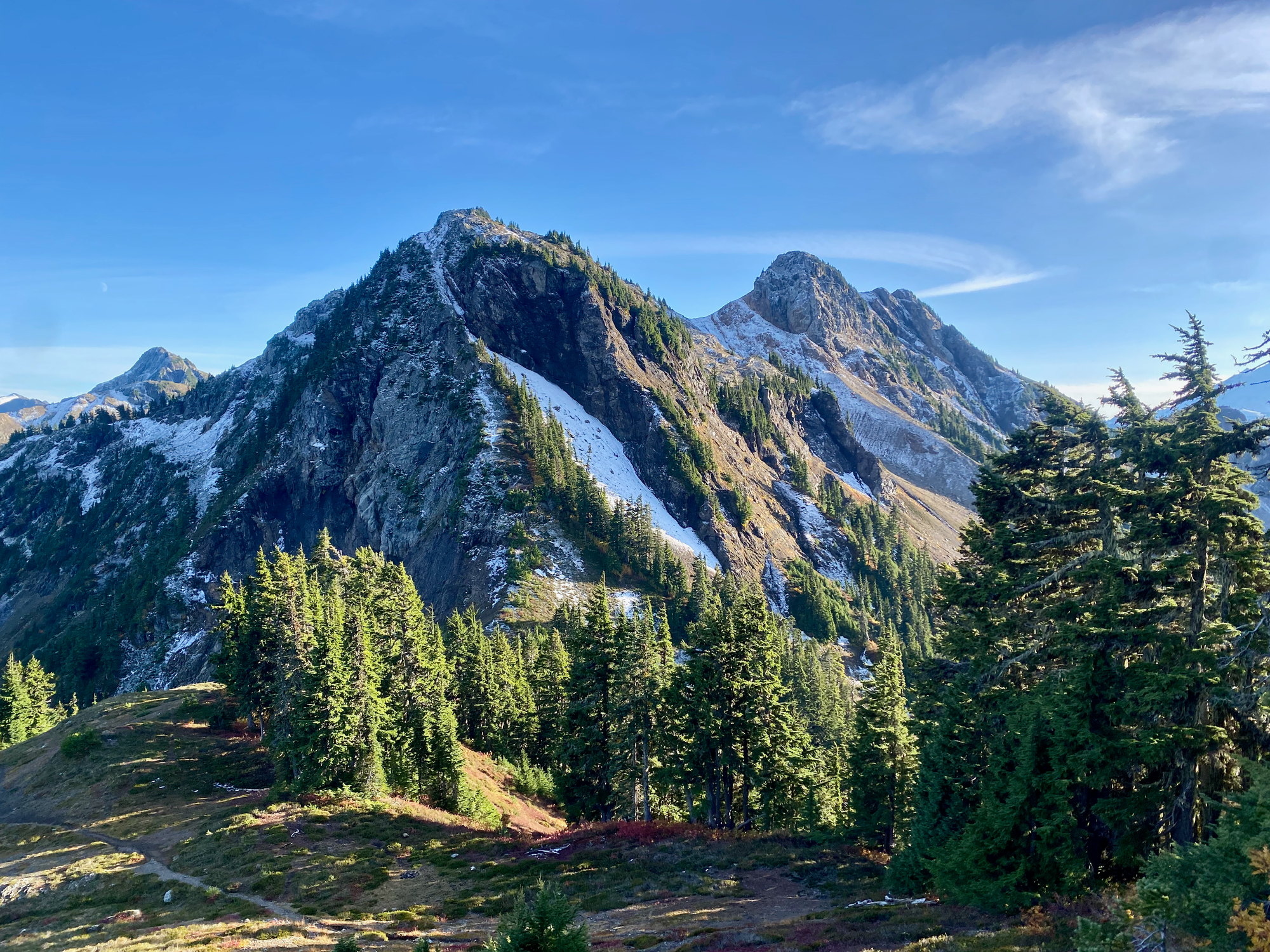
On the way back I took another detour to Winchester Mountain. The ascent from Low Pass up Winchester’s northern ridge has been done, but it’s very loose and exposed, so I just went up the regular Winchester trail. After that I camped near the lakes and enjoyed the northern lights. More on that in another report.


Member discussion