Mount Hendrix
Date: July 29, 2025
Distance: 5.19km
Elevation gain: 440m
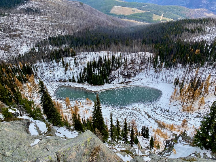
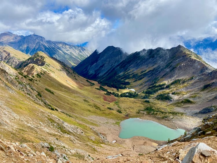
Mount Hendrix is located near the town of Hendrix Lake, to the northeast of 100 Mile House. It can be accessed by taking logging roads to 1550m, then bushwhacking up cut blocks and alpine meadows. There are decent views. This was a fun side trip, although the nearby Big Timothy Mountain is a more worthwhile destination.
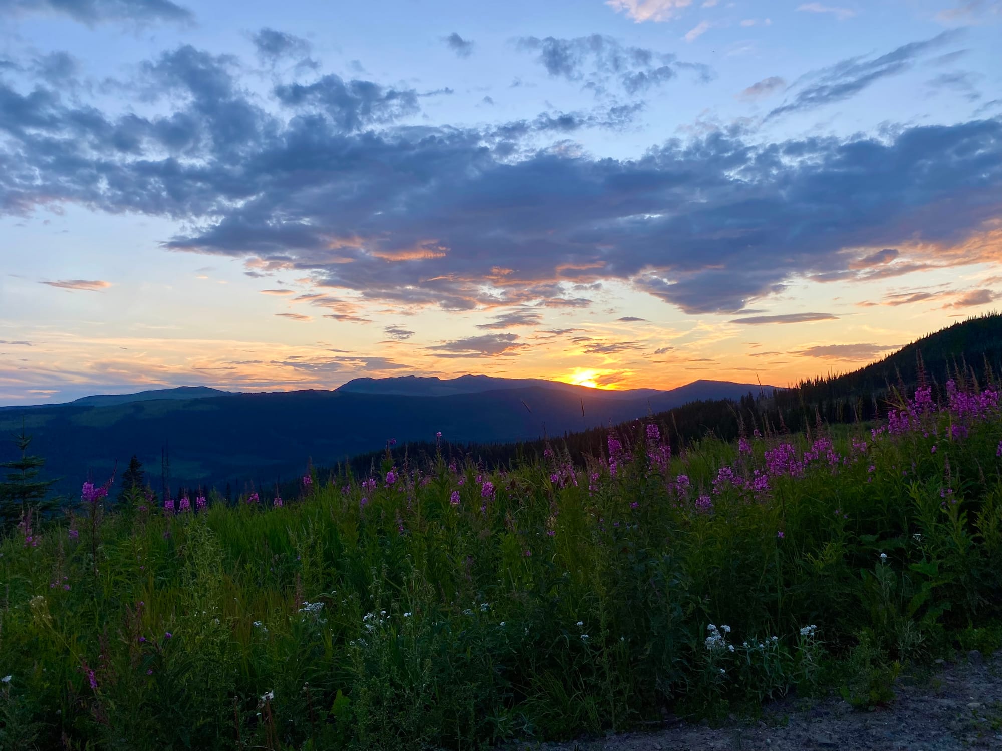
I hiked to this peak after climbing Big Timothy Mountain the day before. Thanks to recent logging, my 2wd car was able to reach the end of the road at 1550m. I camped there, starting my ascent the next morning.
I headed west on a decommissioned spur road. I’d planned to follow the tracks on peakbagger.com, but there was a new cut block to the west, so I went there instead. Skidder tracks made for easy travel.
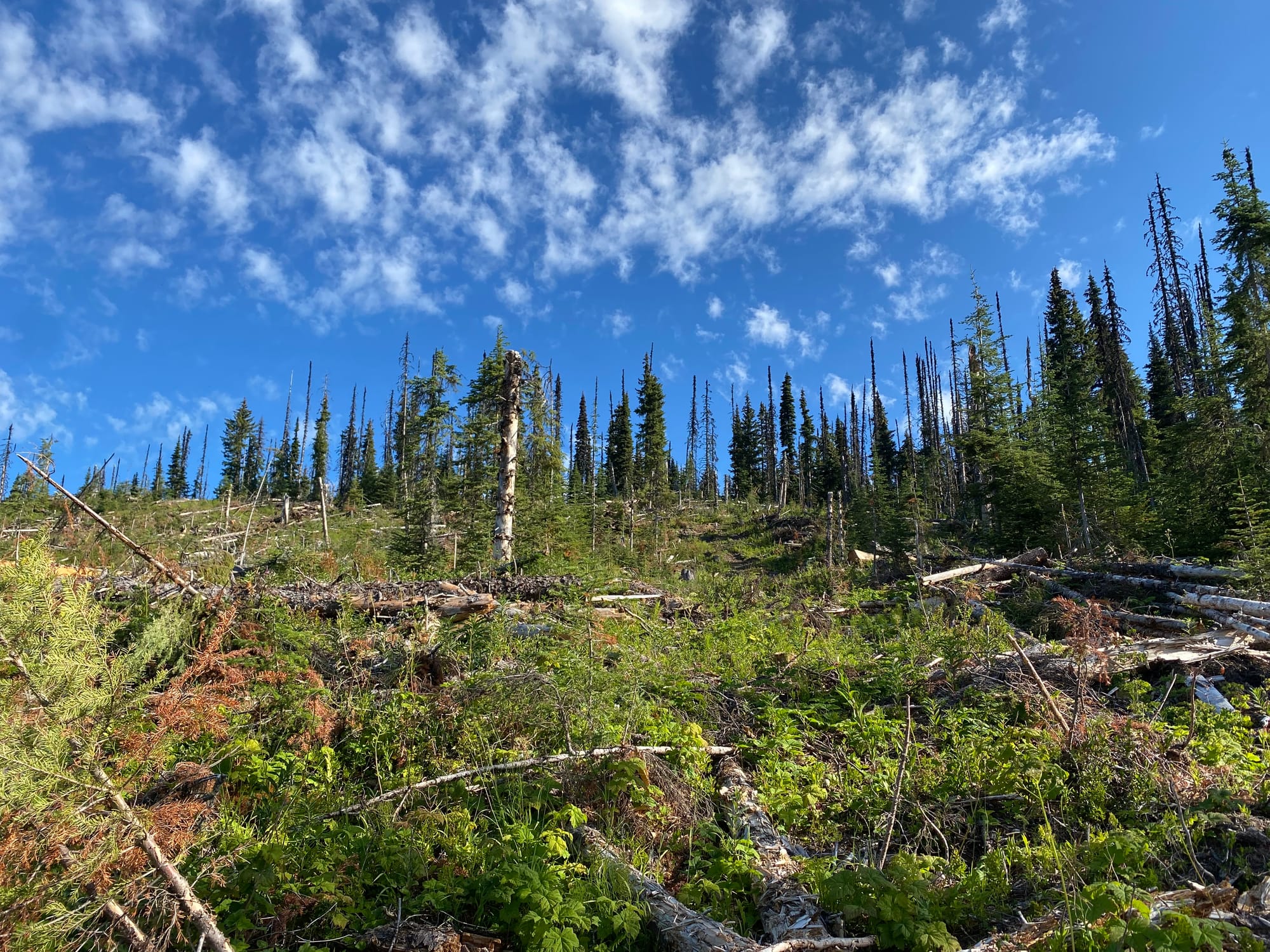
After the cut block ended, I kept walking through the forest, gaining a few hundred vertical metres. This section was pretty tedious with lots of deadfall.
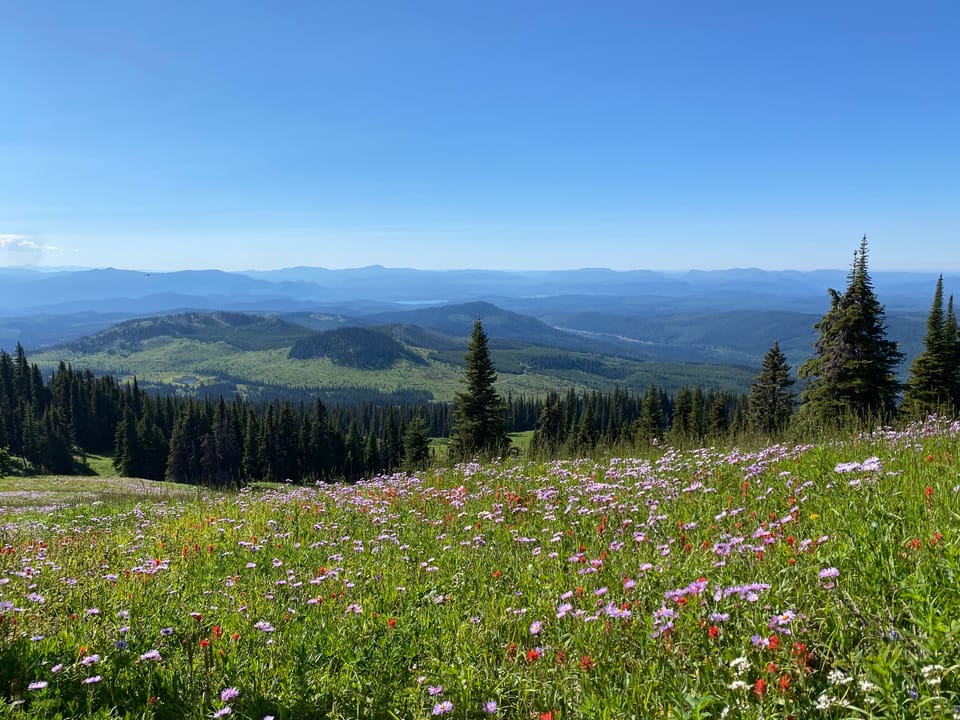
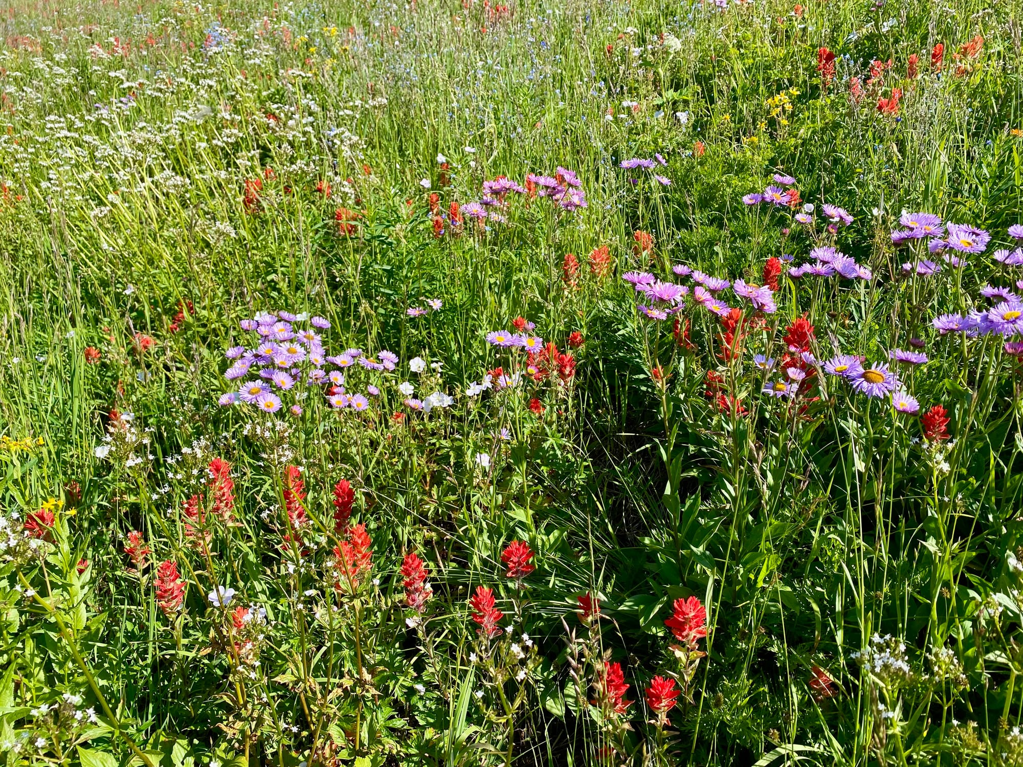
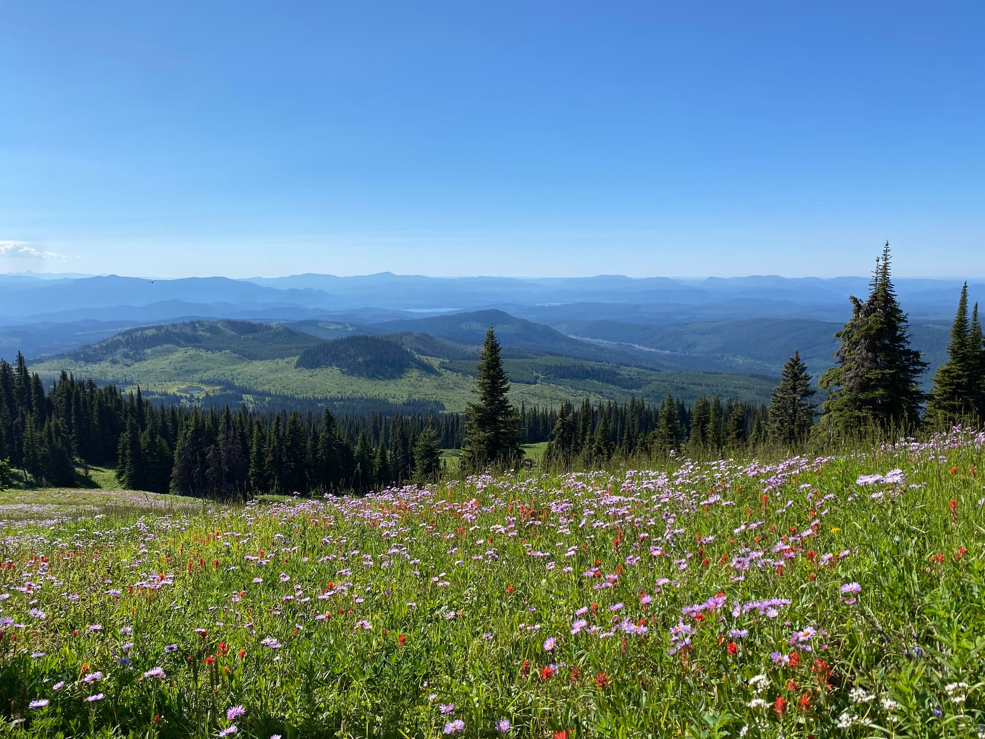
Eventually the forest opened up, and there were sections of picturesque alpine meadows. As on Big Timothy Mountain yesterday, the wildflowers were in full bloom.
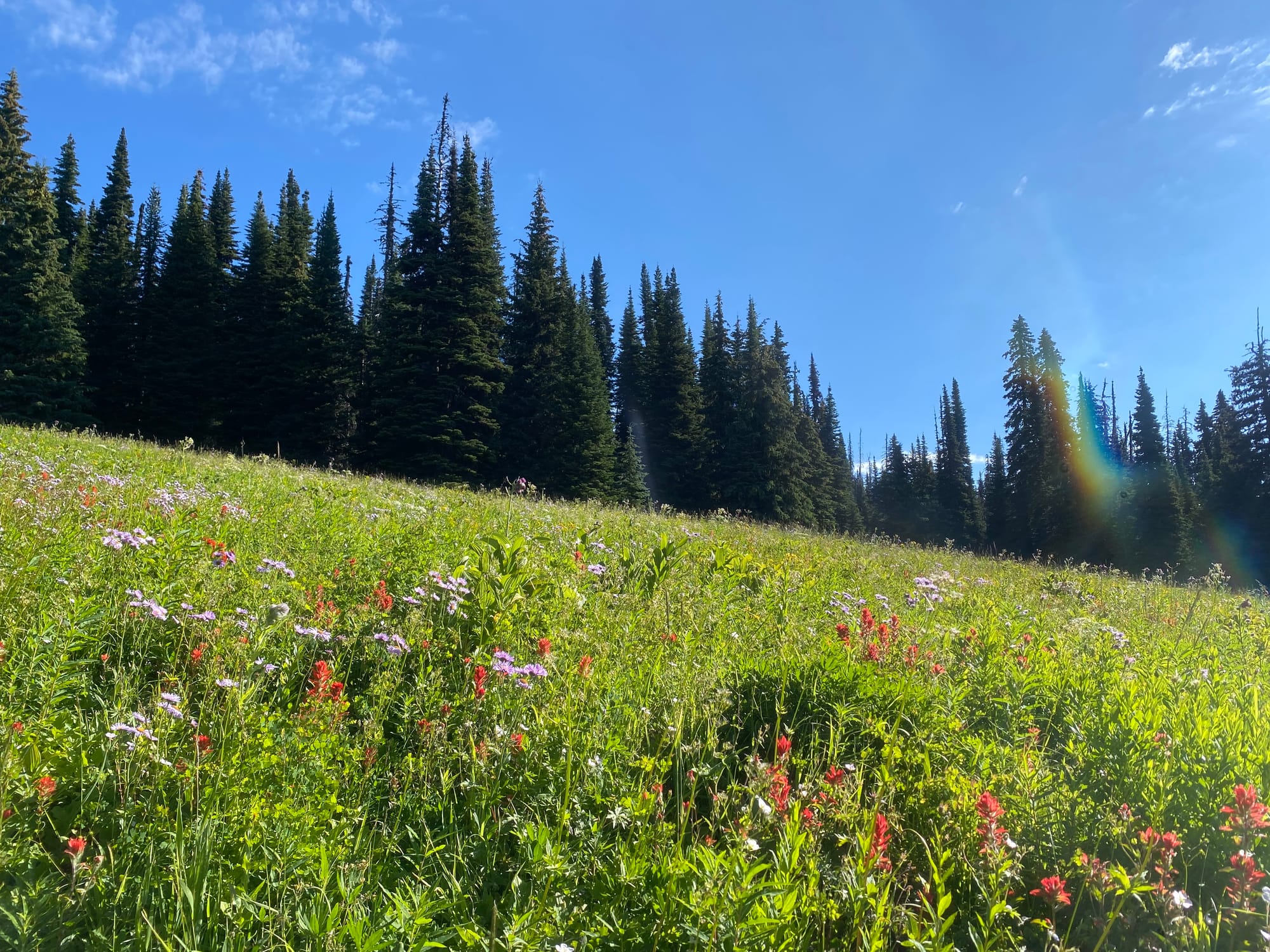
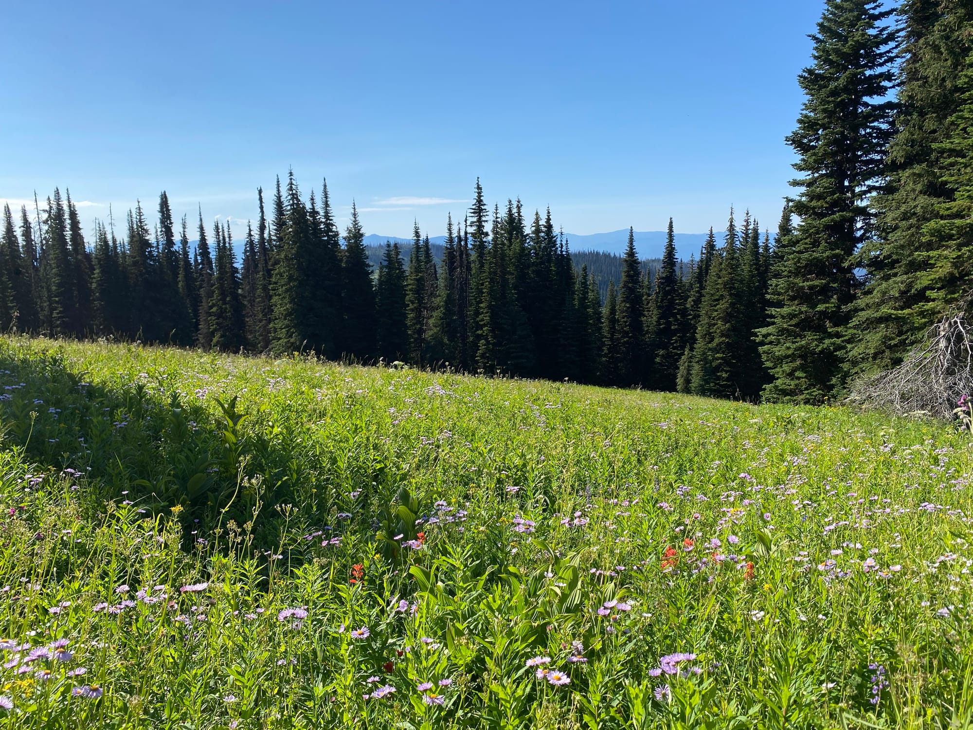
I walked through the meadows to the ridge below the summit, then to the summit itself.
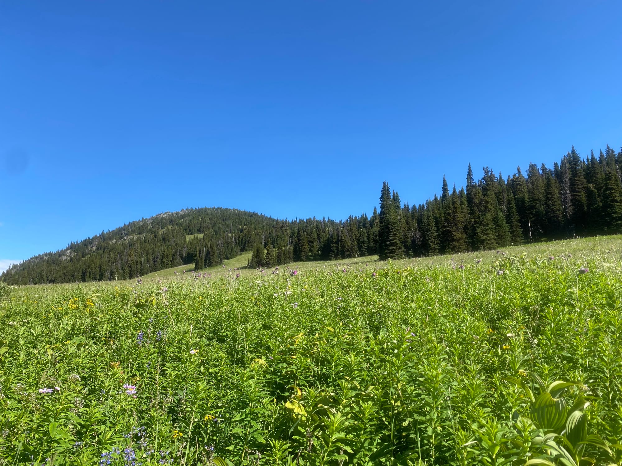
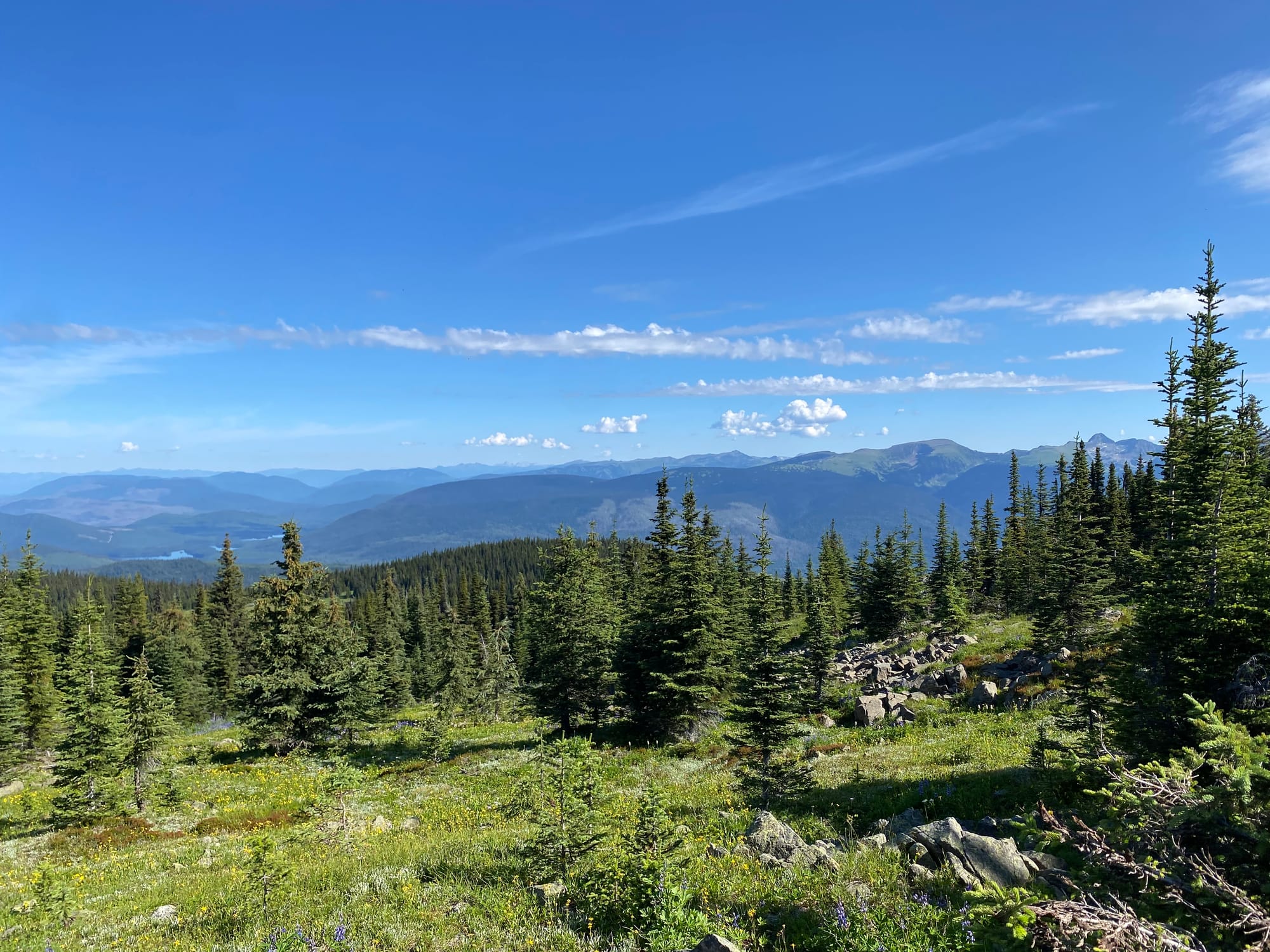
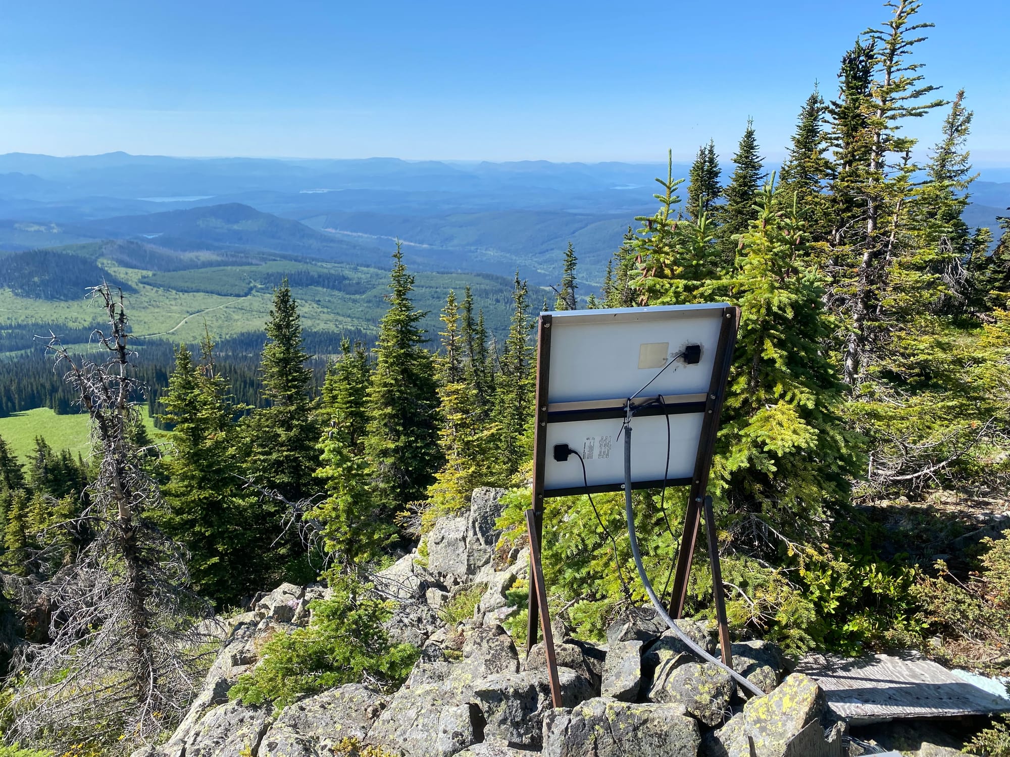
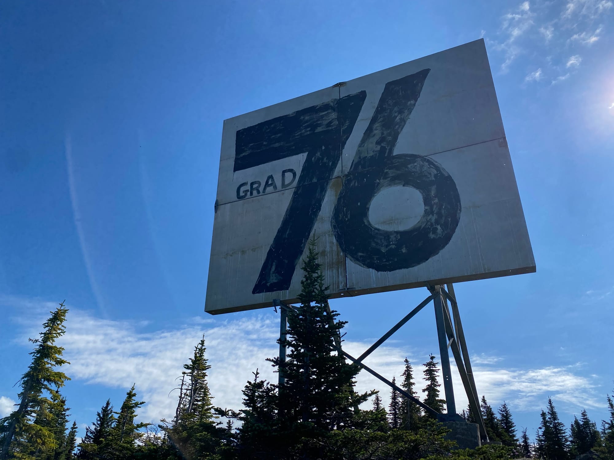
The summit is mostly forested, but good views could be found by walking around. There’s a massive sign with “Grad 76” written on it, left by local high schoolers. The sign is visible from the valley.
After admiring the views for a while, I retraced my steps to the car and began the long drive home.
Member discussion