Mount Duval and Alaniuja Mountain
Date: August 14, 2024
Distance: from the bridge over the Duval River: about 7.5km round trip (Duval only), or about 14km (if also visiting Alaniuja Mountain)
Elevation gain: 671m (Duval only); about 870m (Duval and Alaniuja)
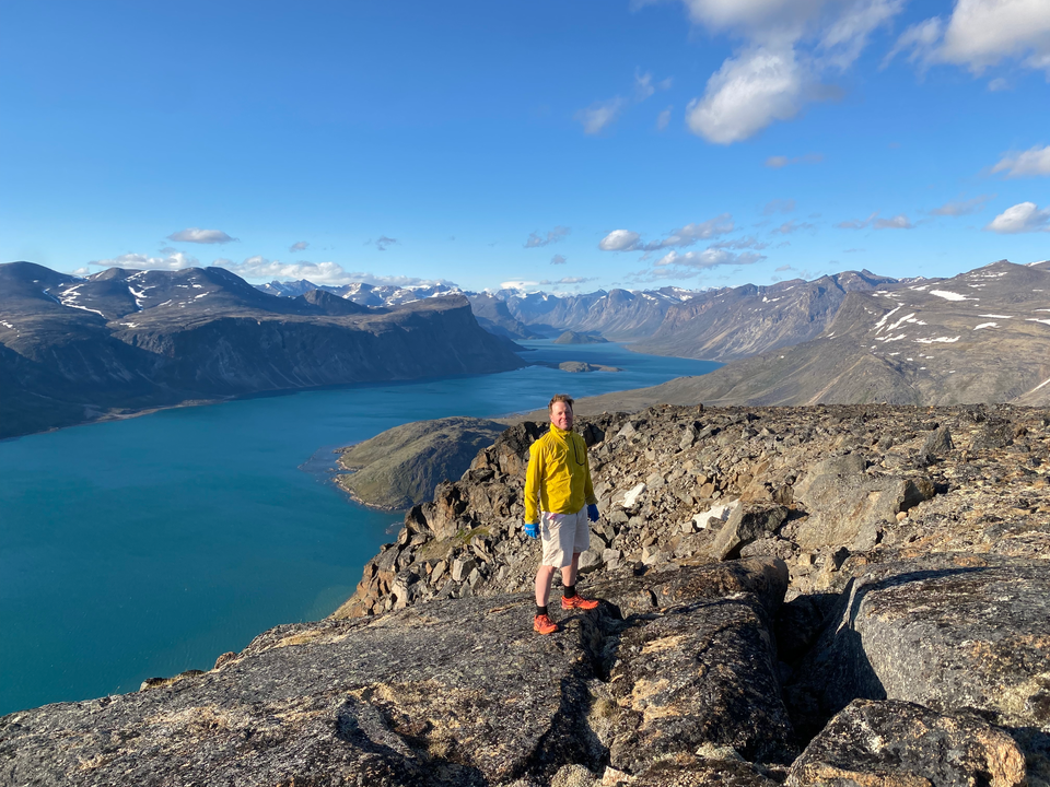
Mount Duval and its cliffs loom above the hamlet of Pangnirtung. The route to its summit, called the “Ikuvik Trail”, is one of the highlights of the town. Dad and I hiked here before our thru-hike of the Akshayuk Pass. On the way, we visited Alaniuja Mountain, a higher summit 2.5 kilometres to the southeast of Duval.
I’d arrived in Pangnirtung in the early afternoon. After Dad finished working, we met up to hike the peak. The sun wouldn’t set until very late, so we left town at the very non-alpine start time of 6:30pm.
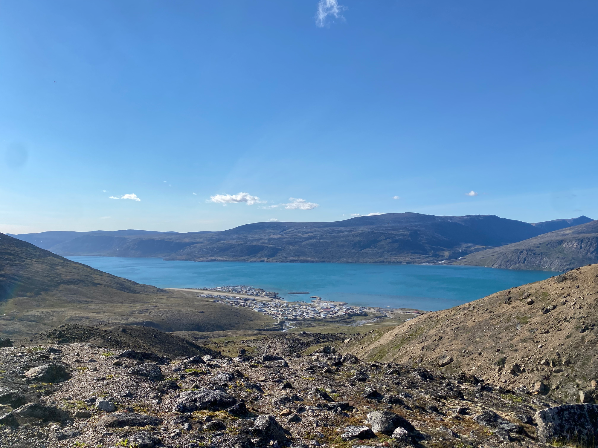
From the bridge over the Duval River, we headed northeast, then south, passing Pangnirtung’s water treatment plant and heading uphill as far as the roads go (which is not very far). Past that, there is no well-defined trail. We made our way southeast, then east, keeping Mount Duval to our left. This involved a mix of ATV tracks and off-trail travel. The surface was mostly spongy lichen; every few steps, my foot would sink a few inches into the ground. Behind us, Pangnirtung and its fjord receded into the distance.
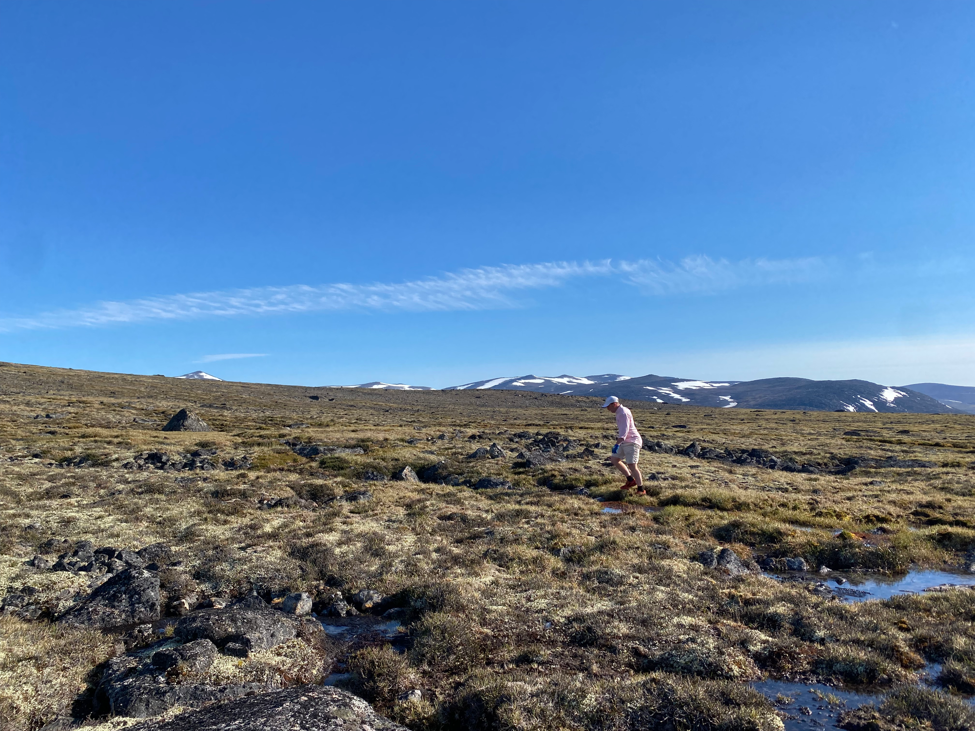
At around 500m elevation, we reached a large plateau between Duval and Alaniuja. We walked eastward towards the summit of Alaniuja, crossing several small streams and boulder fields. It was difficult to keep our feet dry in this section.
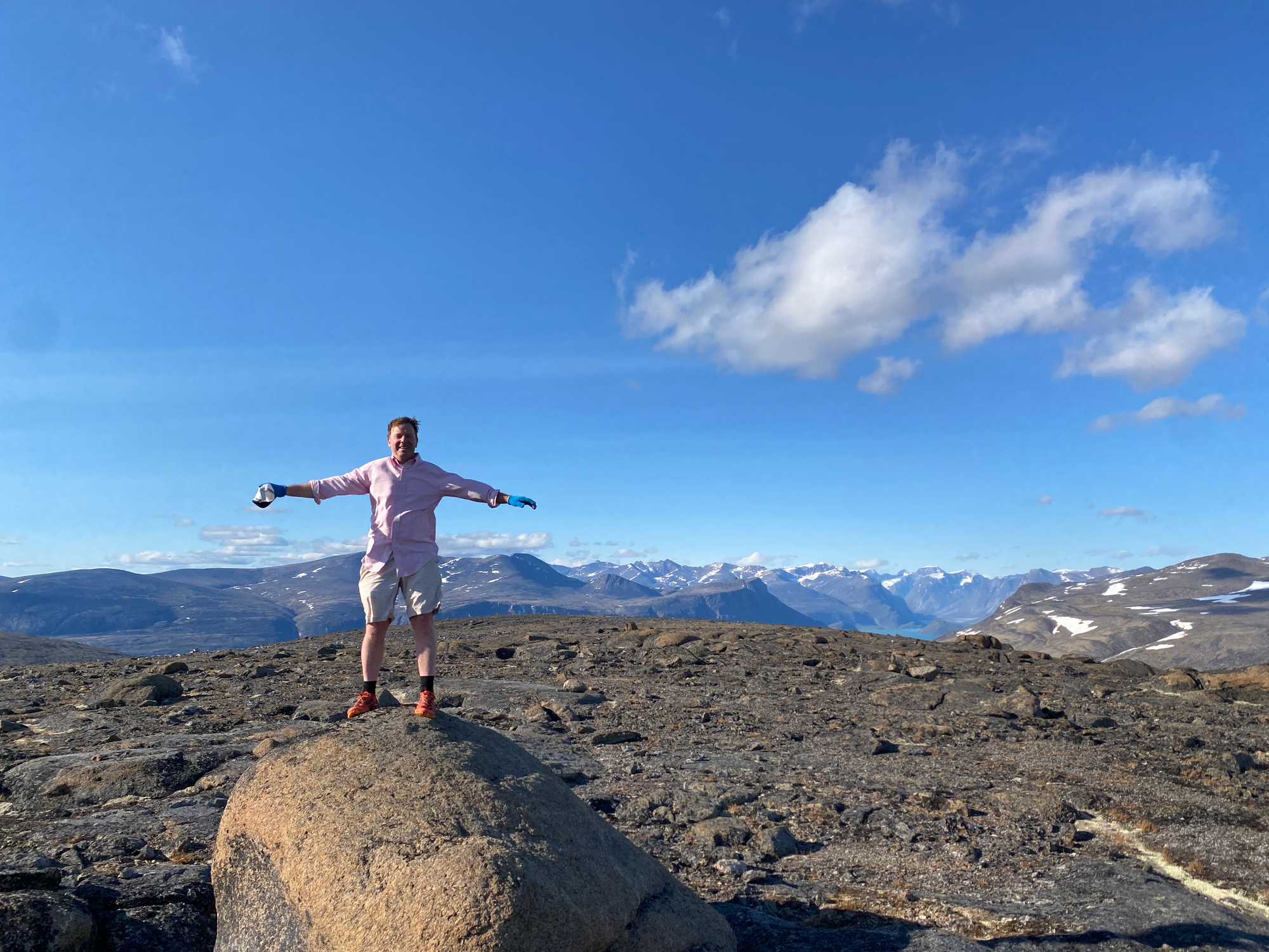
Alaniuja is a large dome-shaped peak and looked closer than it actually was. As we walked, the wind got stronger and colder. By walking around the summit plateau, we had good views of the larger mountains to the northeast and the valleys to the east. Duval and the Pangnirtung Fjord were below us to the northwest.
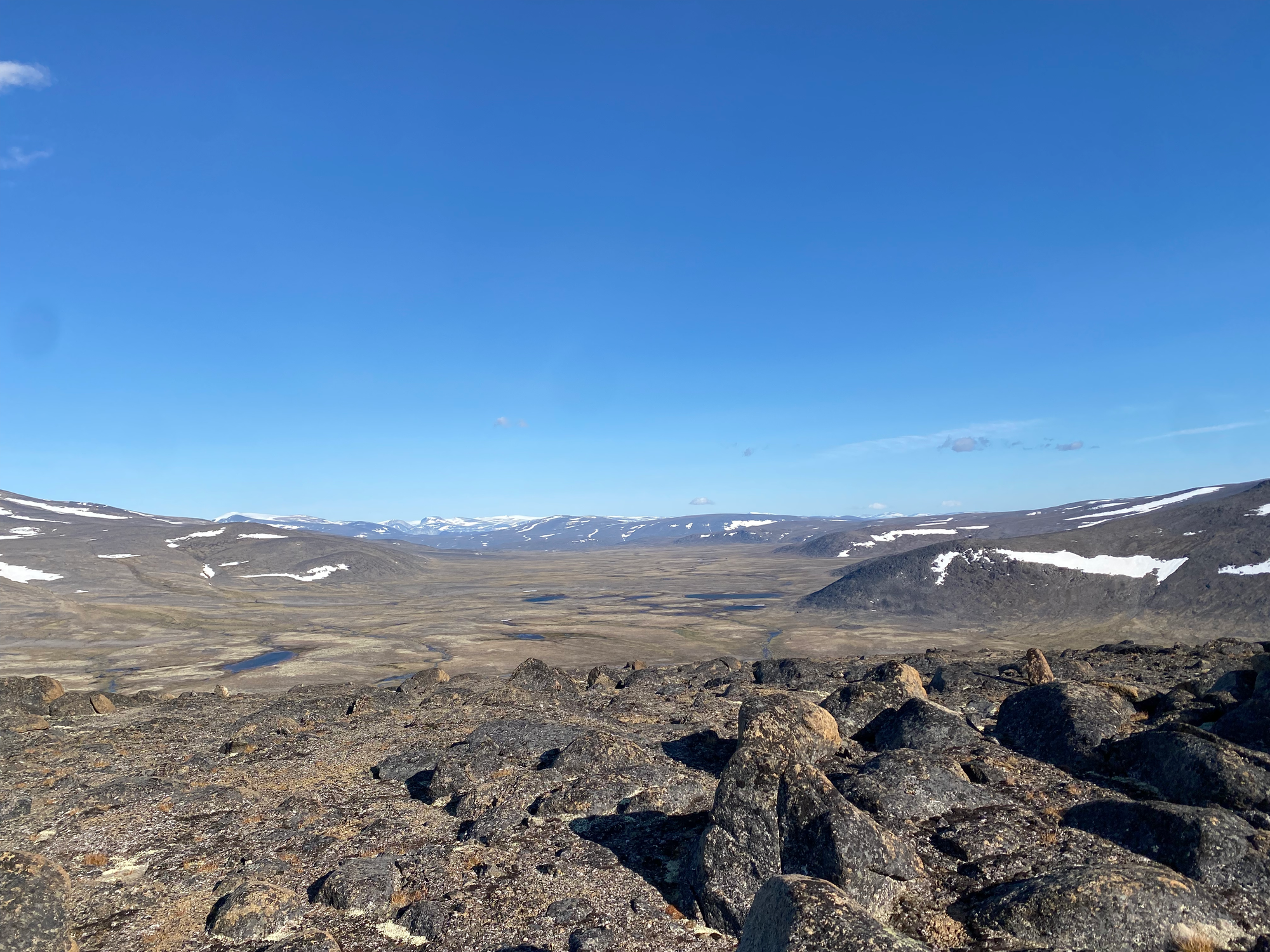
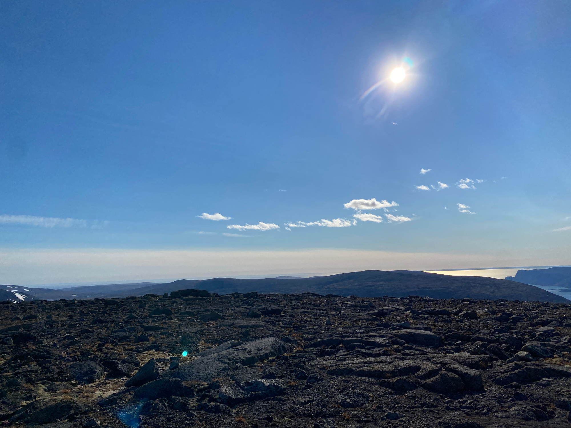
The most direct route to Duval would involve descending a steep snow patch, so we went a couple hundred metres north for a more gentle descent. Our next challenge: the valley floor in this section was braided with many small streams, and there was a decently large lake between us and Duval. We jumped from rock to rock. Staying on solid ground became impossible as we reached the lake.
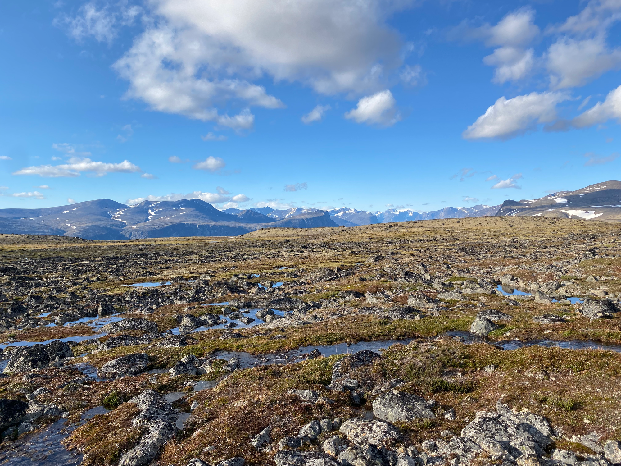
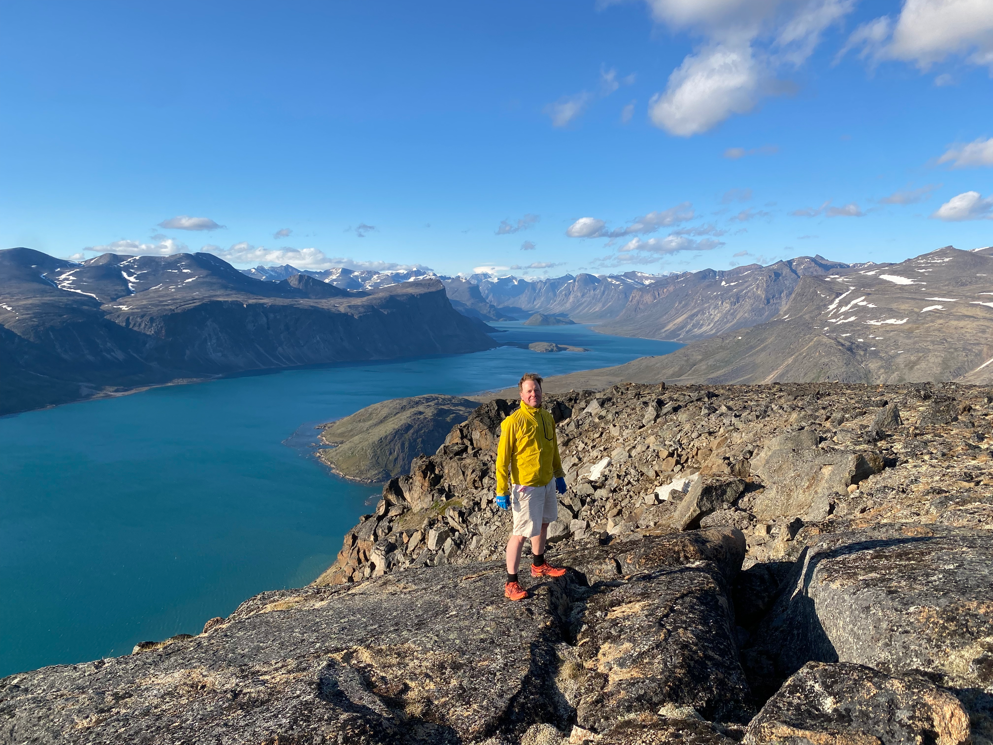
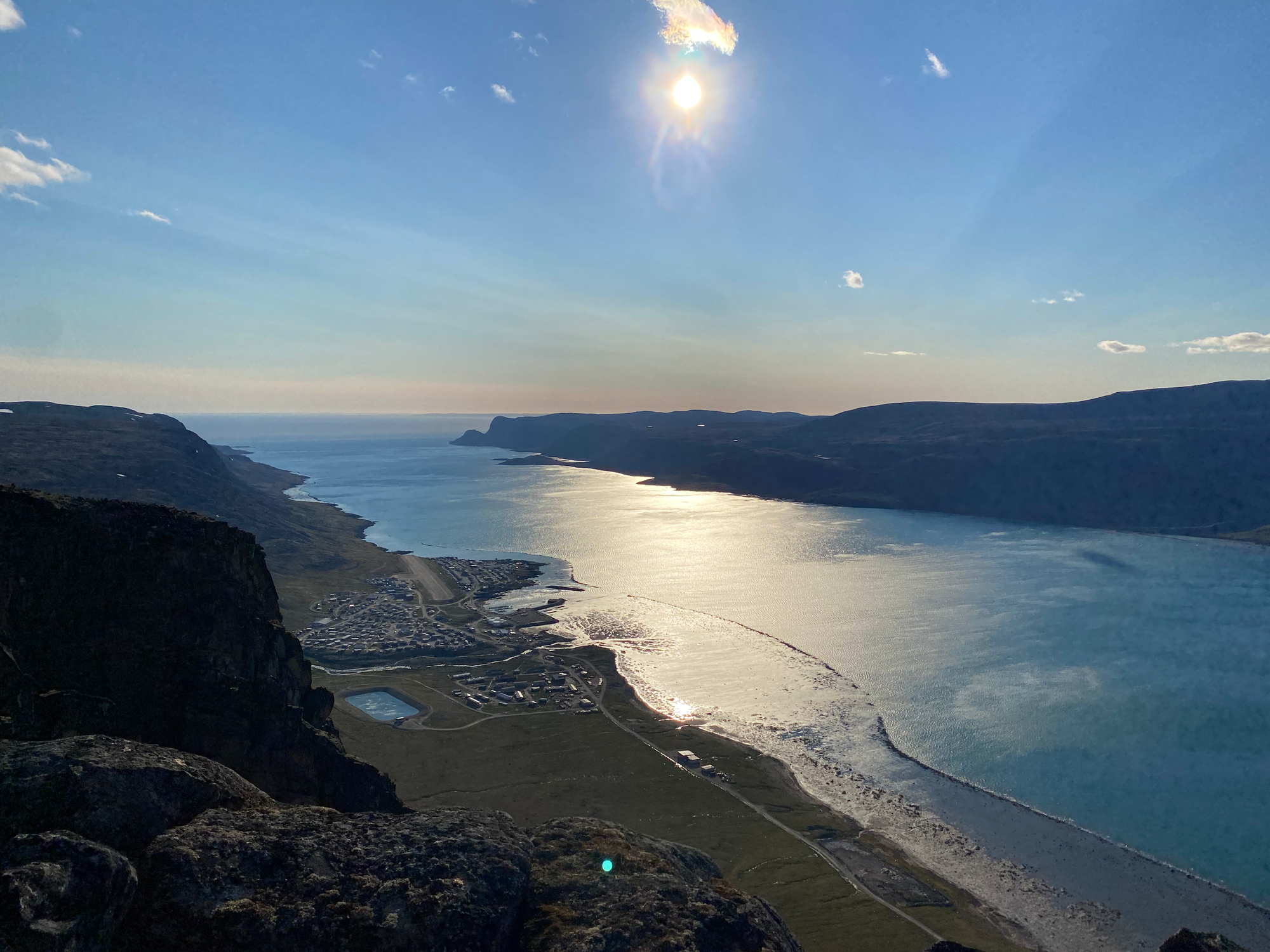
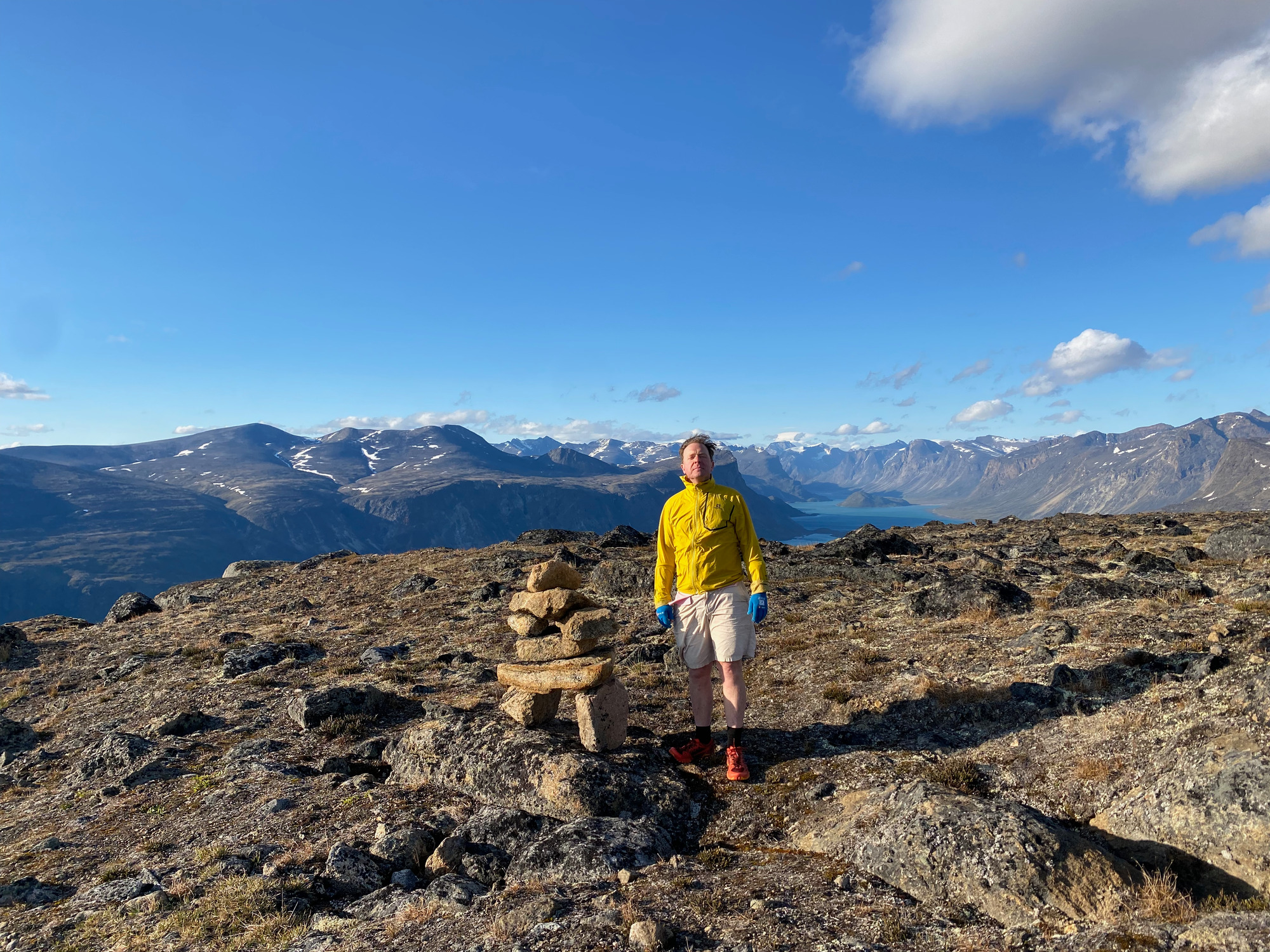
Past the lake we took the line of least resistance up Duval’s eastern side, and in no time we were on the summit. We took shelter behind a boulder and admired the views. To the northwest, the Pangnirtung Fjord was hundreds of metres down at the base of a large cliff. To the west lay the hamlet and the lower reaches of the inlet. To the northeast, the fjord turned northward, vanishing behind the increasingly distant Baffin Mountains. The land was completely barren, windswept, and majestic.
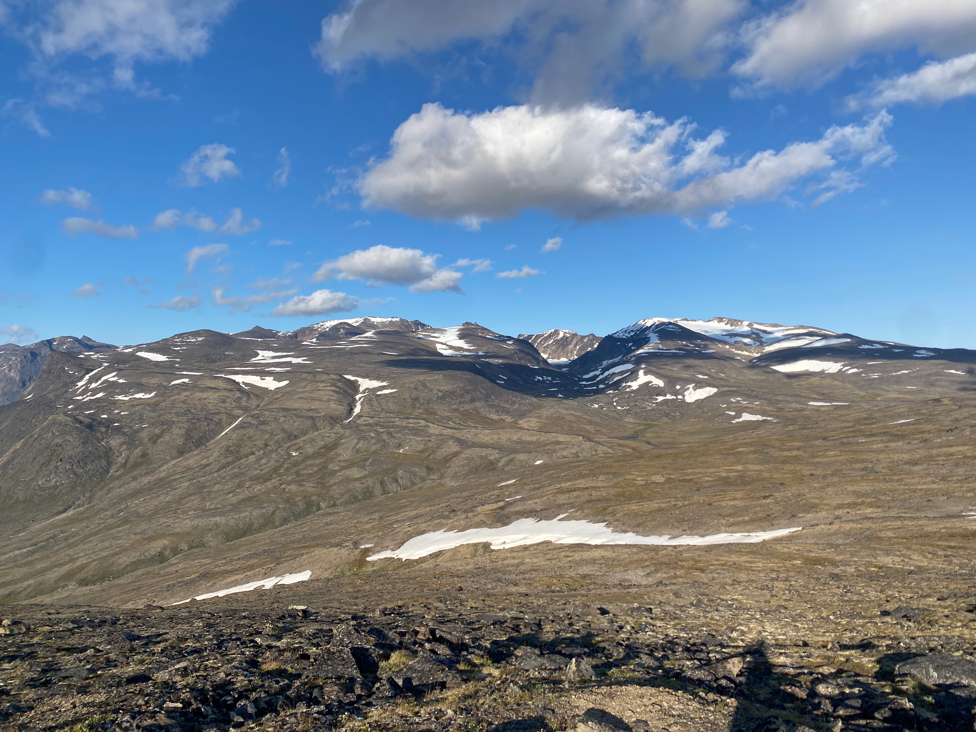
Eventually it was time to return to the town. Again, we took the least steep path to the south, eventually connecting to our route up, then to the roads near the Duval river. It was almost 10pm and it was as bright as a summer day back home.


Member discussion