Mount Devoy
A short bushwhack to a forested peak near Hope
May 15, 2024
Distance: 8.60 km
Elevation gain: 712 m
Mount Devoy is a forested peak overlooking the Fraser River about halfway between Kent and Hope. To quote the BC Geographical Names Database, it was "named to remember RCAF Pilot Officer Alexander Gordon Devoy, J85650, from Chilliwack; serving as a Navigator with 426 Squadron when he was killed in action 31 March 1944. Buried at Durnbach War Cemetery, Germany, grave 11-A-9."
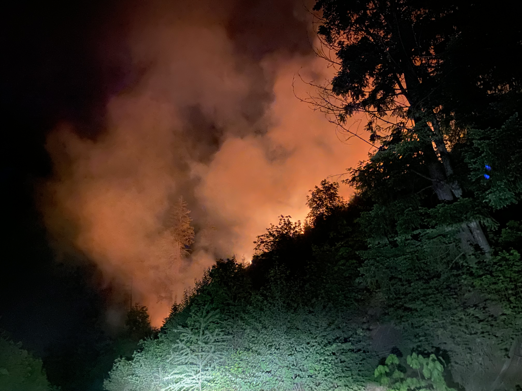
The original plan was to climb the remote, obscure, and rarely ascended Mt. Fagervik with legendary peakbagger Steven Song. I met Steven in Abbotsford and we headed east to Harrison Hot Springs, then north on the East Harrison FSR. A few kilometres in we smelled smoke and saw ash falling in the distance. A truck had crashed at 17km on the FSR, starting a large forest fire. We turned around and quickly escaped.
Plan B was the less remote and challenging, but still extremely obscure, Mount Devoy. We went back to the highway, headed up the Jones Ten/Lorenzetta FSR, passing several RVs and an open gate. We arrived at the trailhead, a spur at the 4.5km mark, around 1:30am. I set my tent up and managed to get some sleep.
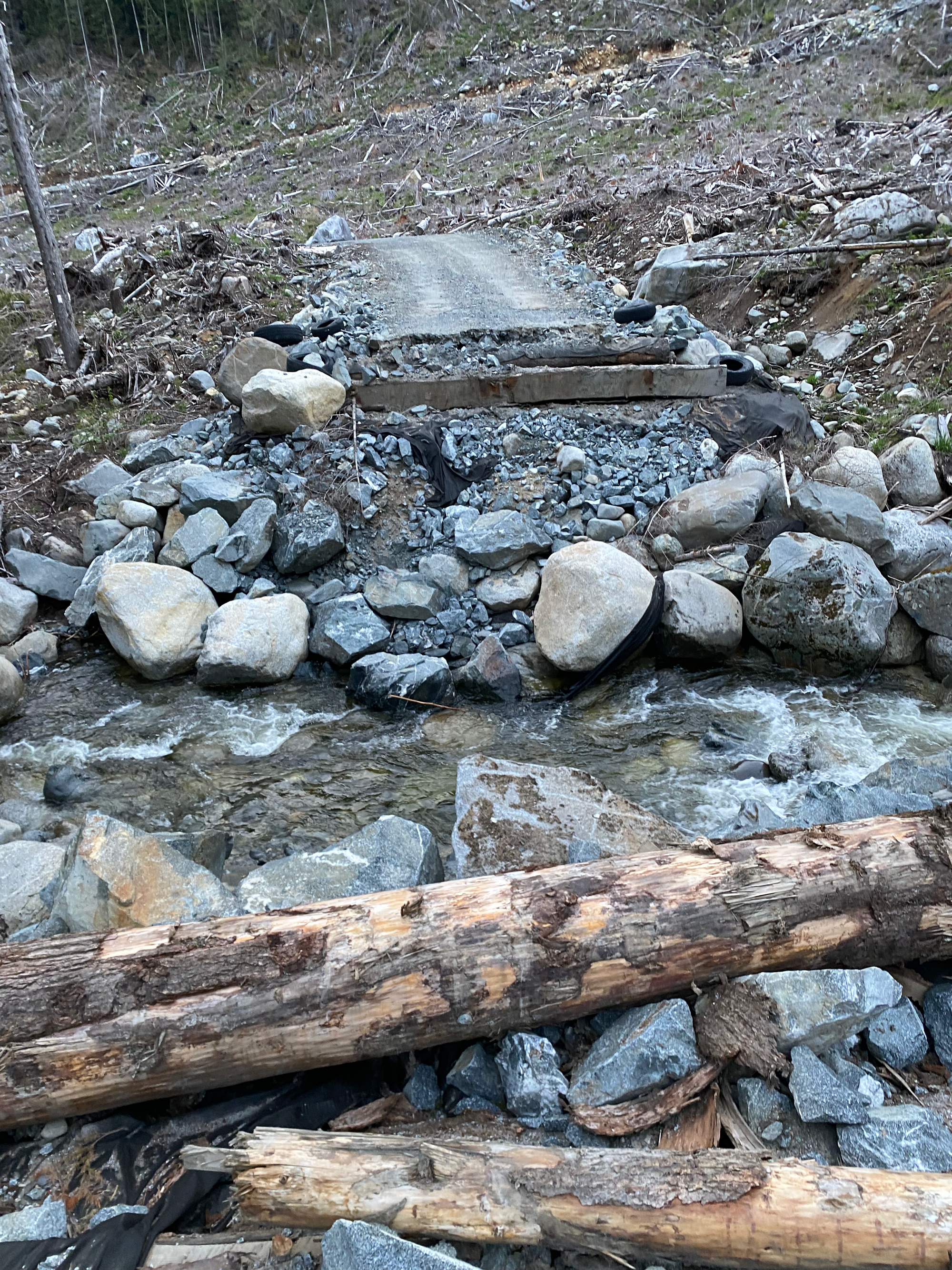
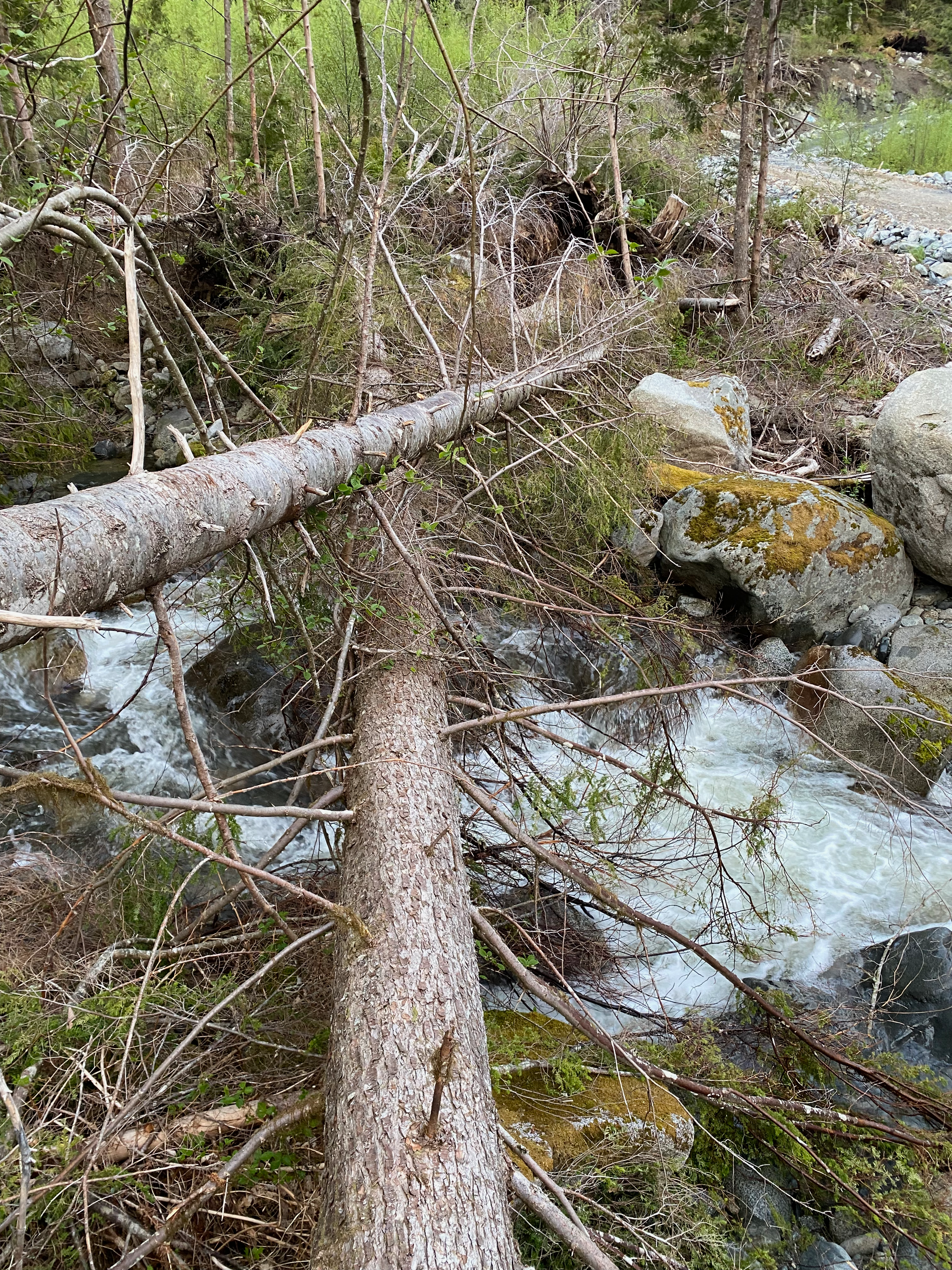
A bridge at the start of the spur was washed out. To avoid fording, we crossed a precarious log bridge a couple metres above the creek. At one point we had to climb over another tree. I almost slipped but managed to steady myself with the hiking pole.
We headed south along the logging road past a fresh cutblock, navigating many small streams. After about a kilometre, we ascended the cutblock at its southern end, eventually breaking into the treeline.
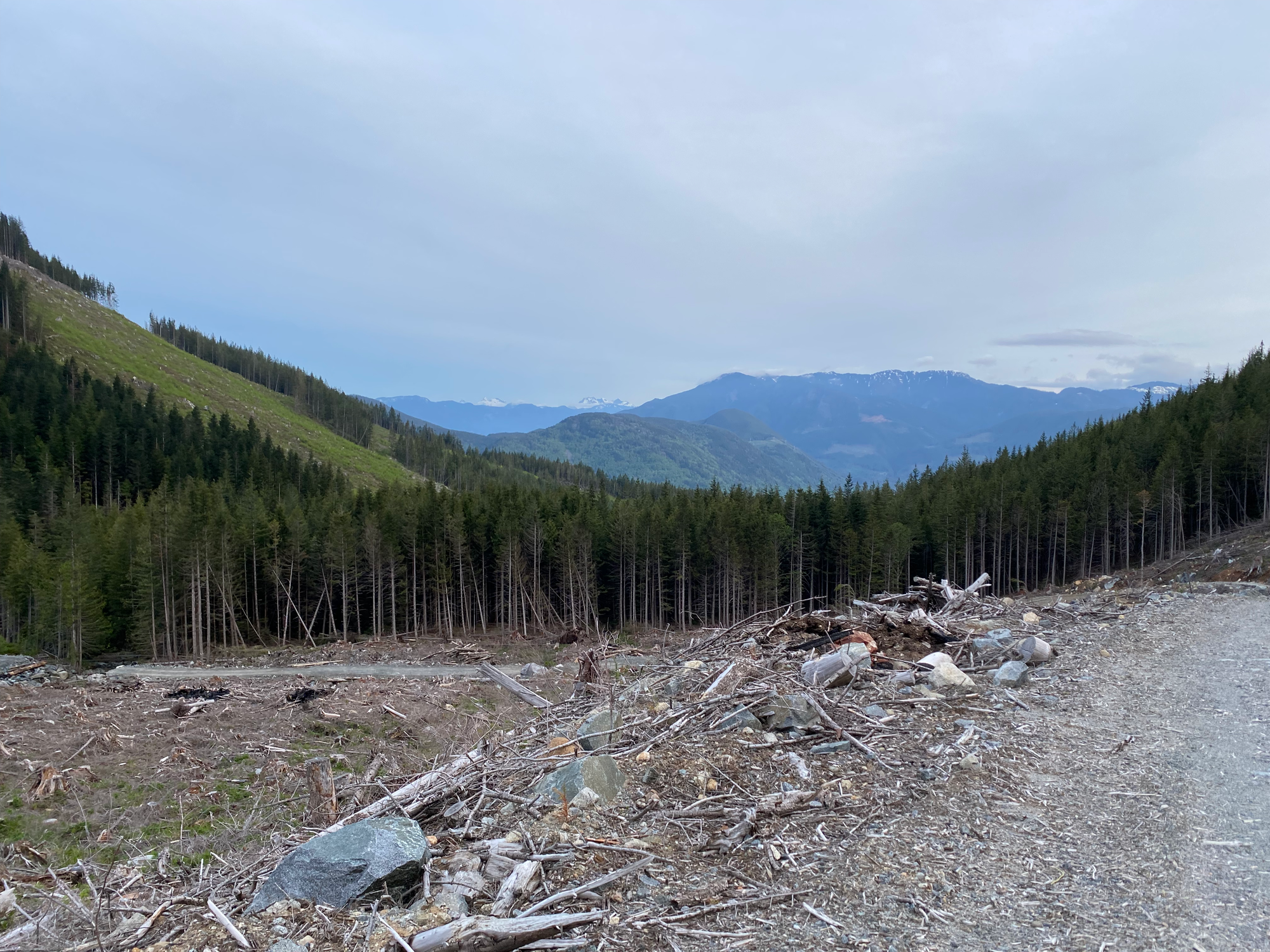
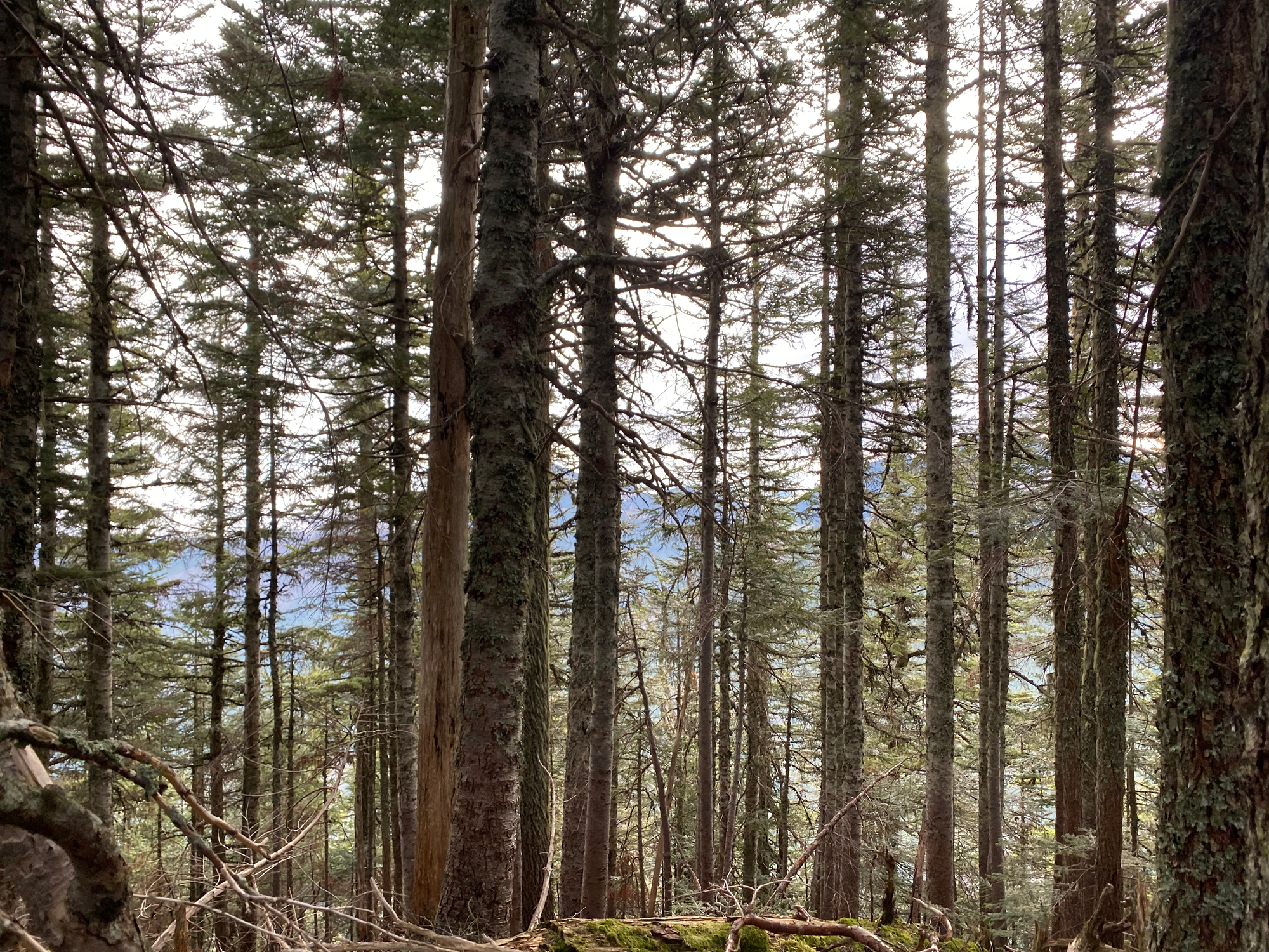
Some more bushwhacking ensued to reach the ridge. It wasn't too steep or bushy by SWBC standards and we set a good pace. We quickly reached the ridge, passing a treed false summit. Every once in a while we caught glimpses of Mt. Barr or the valley through the trees. Snow was patchy.
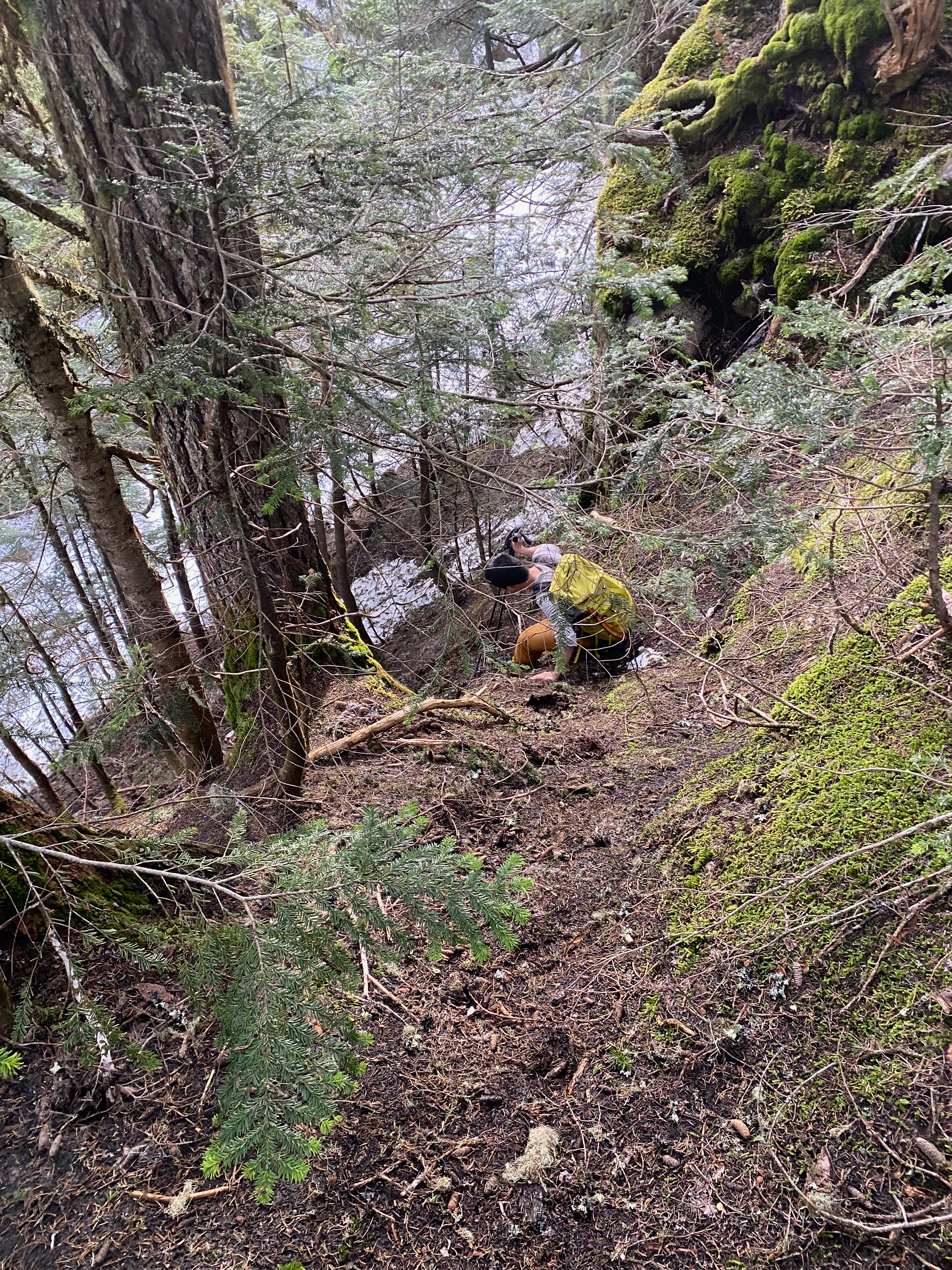
Just before the true summit, we negotiated a short steep descent into a notch.
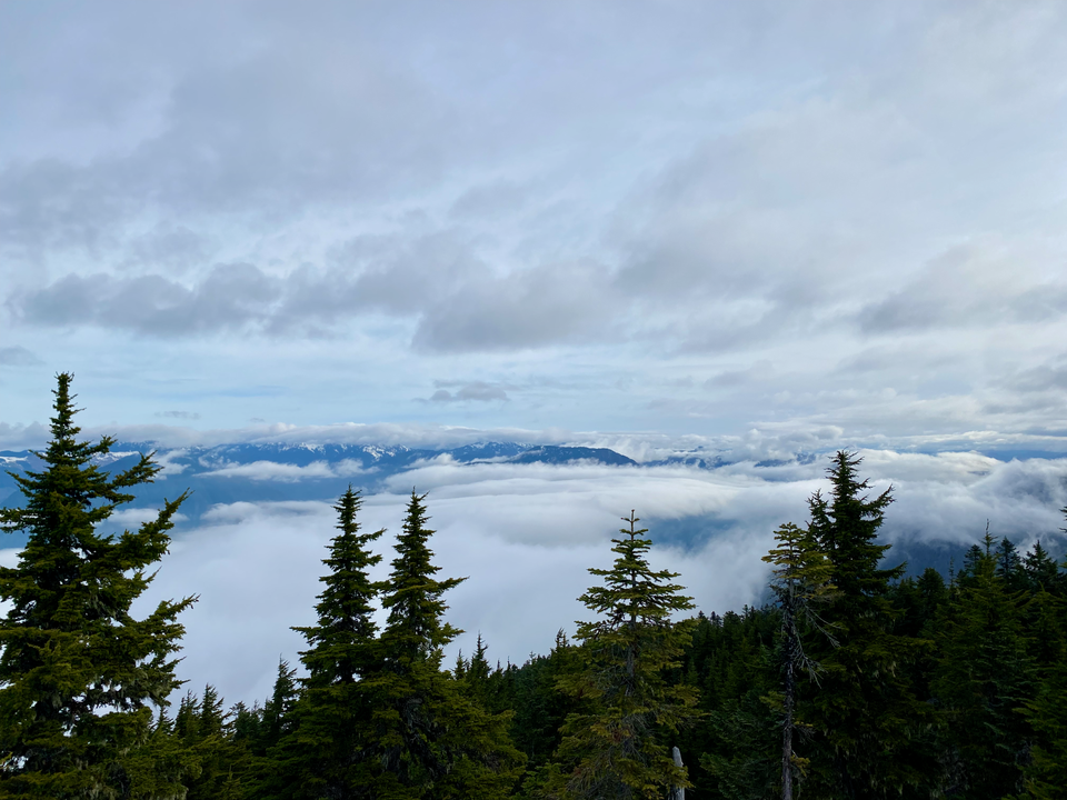
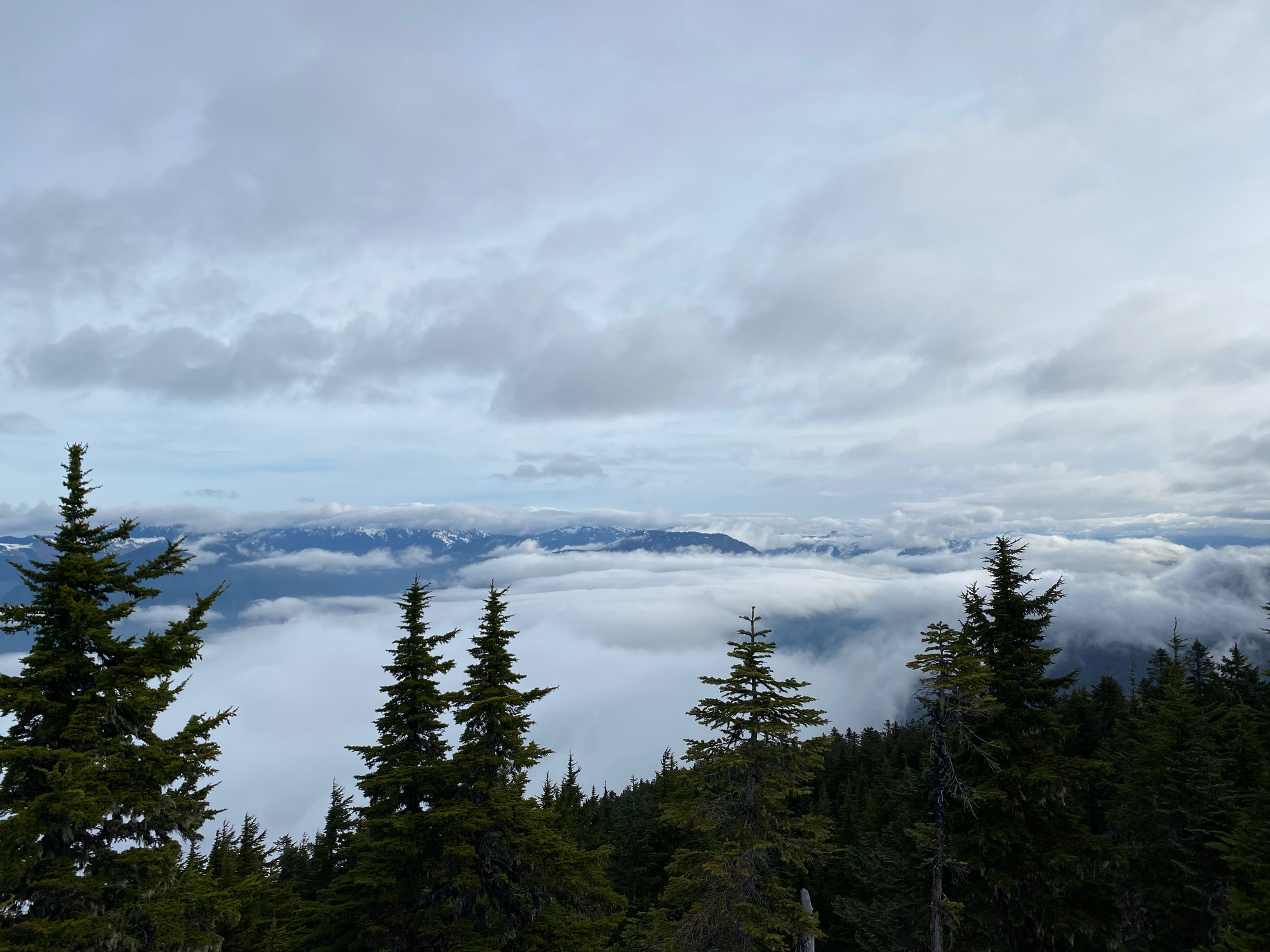
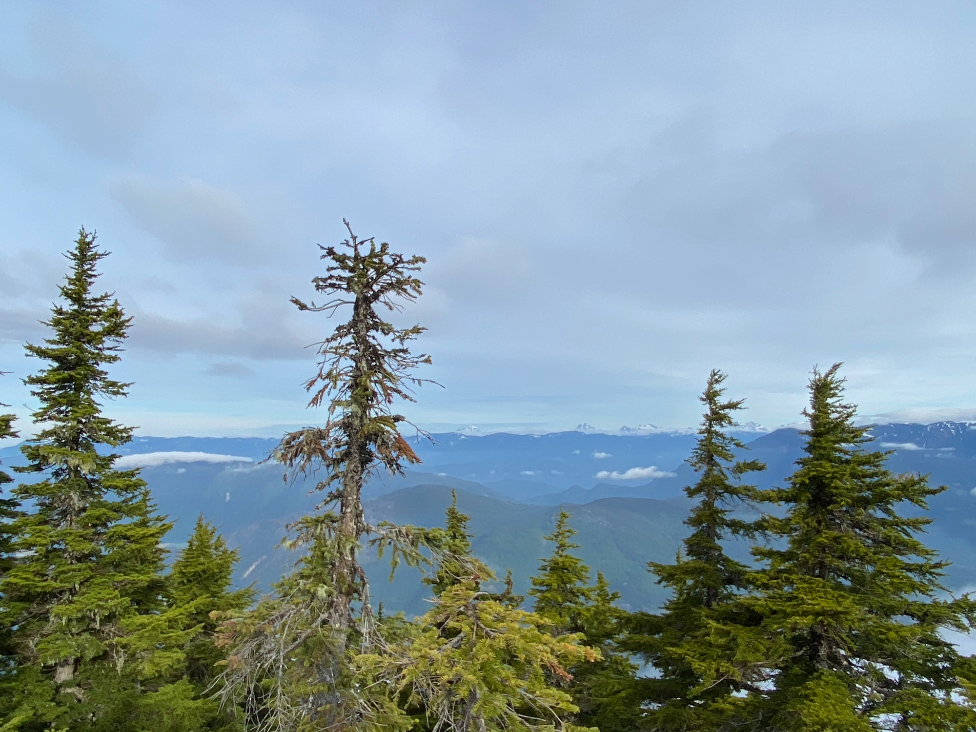
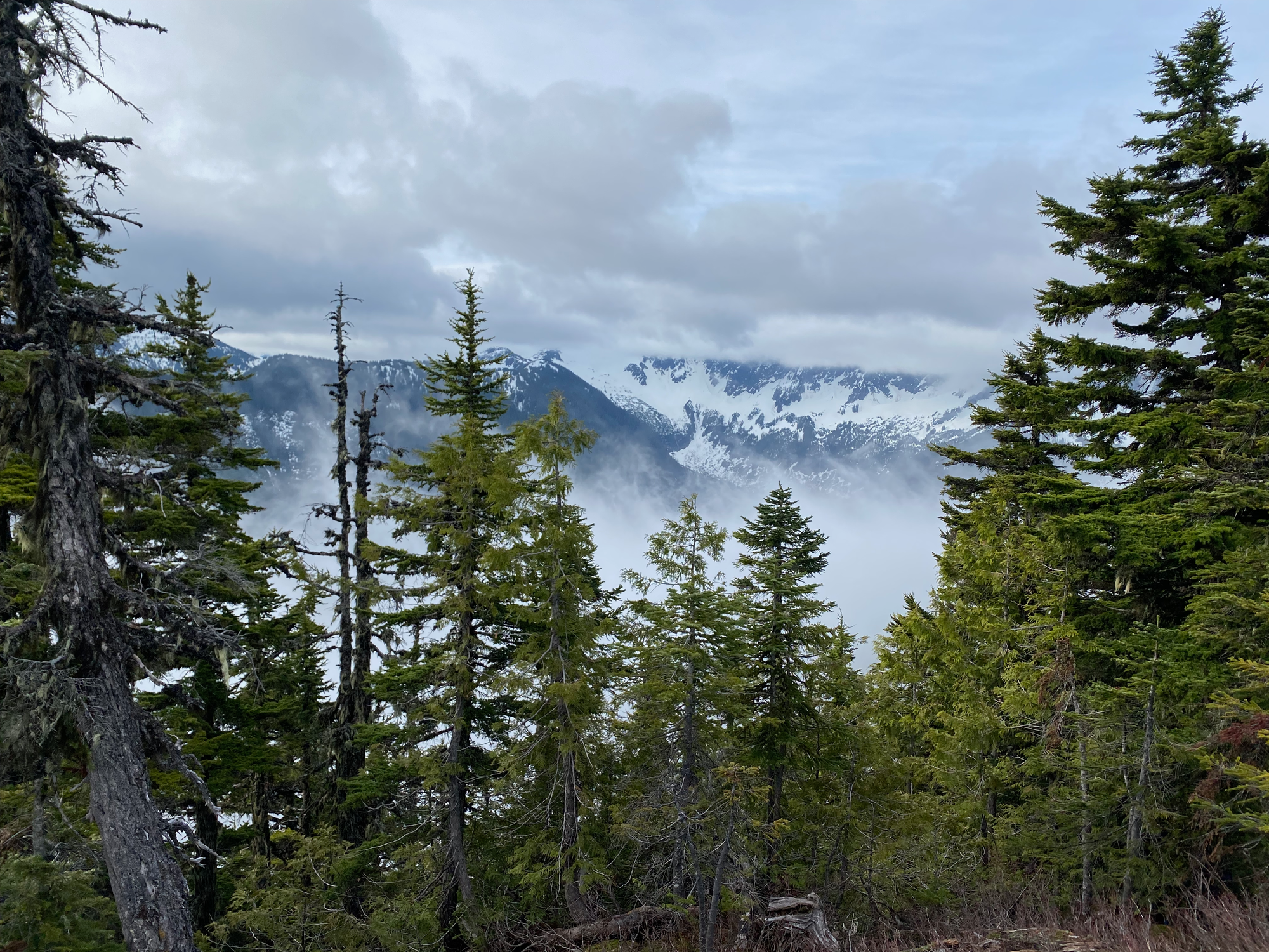
A bluff immediately northwest of the summit offers good views of the Fraser Valley and Chehalis-area peaks. Fog filled the valley, obscuring many mountains from view.
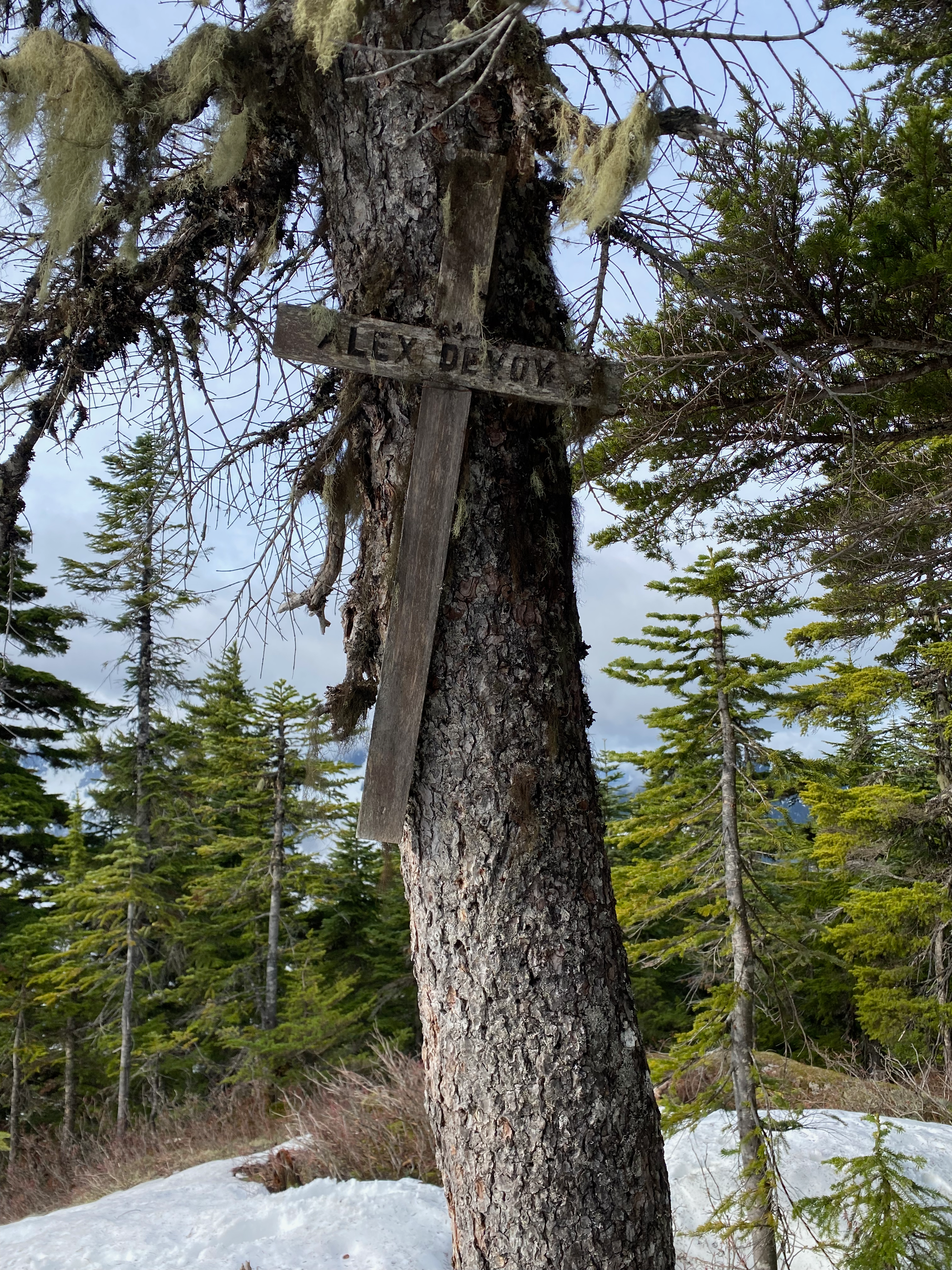
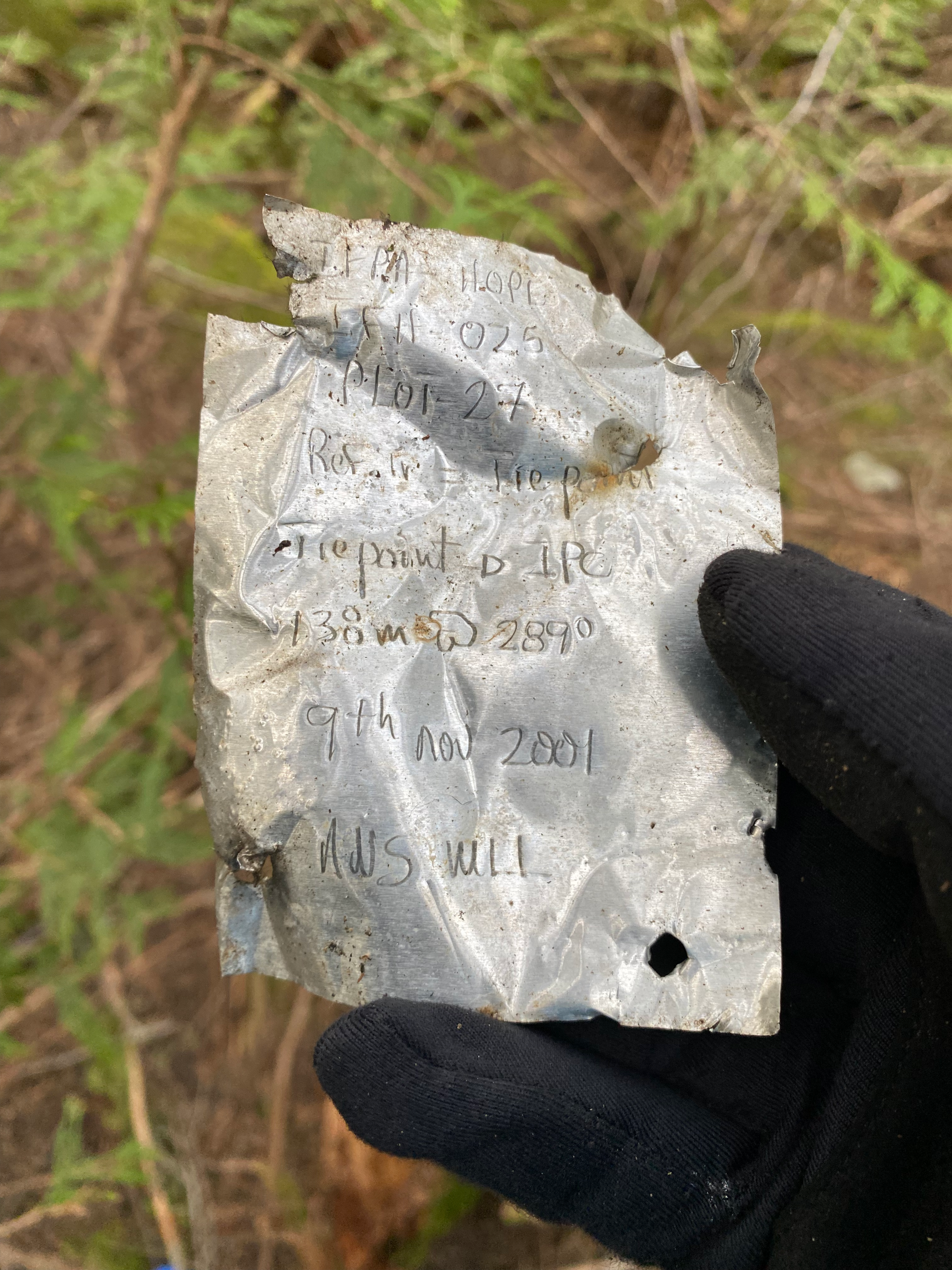
The true summit has very limited views. Notably, a cross placed as part of the Grainger Mountain Project in the 1980s still survives.
We retraced our steps to the car and were out by 9am. On the way back we met a homeless guy who needed help jumping his car battery. He ended up hitching a ride to the highway with us.
This is definitely a peakbagger's summit but it was great to explore it with Steven.


Member discussion