Mount Benson

Date: January 28, 2025
Distance: 7.03km
Elevation gain: 691m
Mount Benson is a small mountain just south of Nanaimo. It’s basically Nanaimo’s version of Grouse Mountain, with many locals hiking its slopes every day. It’s still a worthy adventure offering excellent views on a clear day. There are many routes to the summit; this post describes the most common one, ascending the “Straight to the Top” trail.
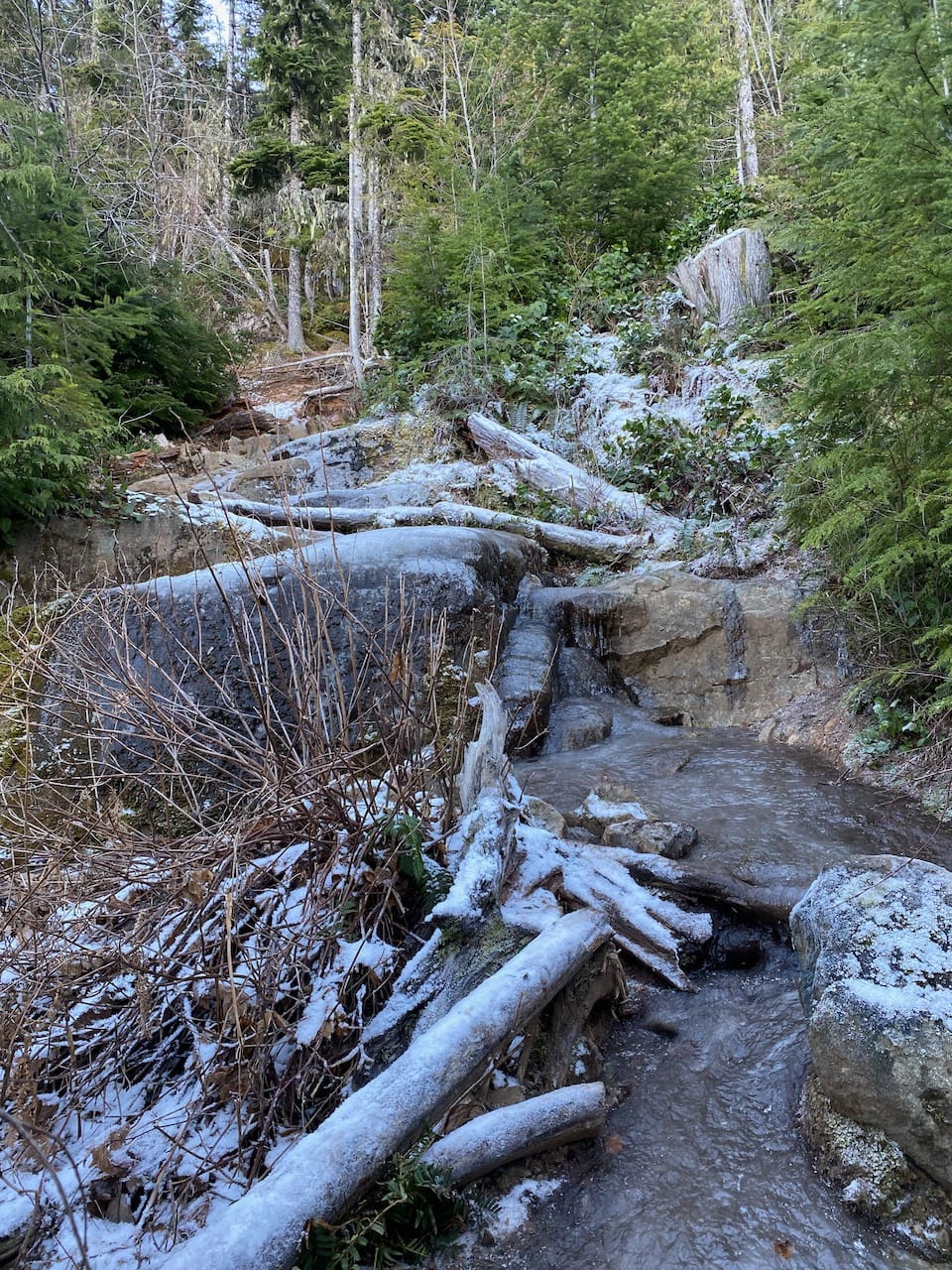
This is a year-round adventure, but when I did it in January there were some very icy patches where microspikes would have been helpful.
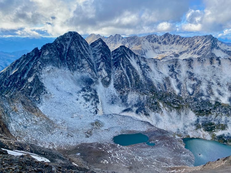
It isn’t obvious on most topographic maps, but the main “Mount Benson” viewpoint is actually a false summit. The true summit is separated from the false summit by a large cliff requiring class 3 scrambling. I followed another route to the true summit, which was much more doable.
I’d just bailed on a much longer Island trip for various reasons, but still wanted to do some more hiking before returning home. Mount Benson was on my list as a Nanaimo-area hike that could be done without a car. I ended up having to take a surprisingly expensive taxi from Departure Bay (the bus schedule wouldn’t have left me enough time before sunset, and Uber is technically present in Nanaimo but no cars were available).
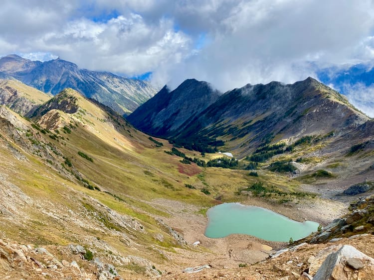
From the parking lot, the trail is well-marked. I hiked west for a bit before following signs uphill, away from the interestingly-named Witchcraft Lake. To save weight I hid my heavy overnight pack in the forest. The trail was a steep grind that clearly sees a lot of use at peak hiking times, being eroded in places. Signs on the trees mark the distance covered. On the way up, there were several viewpoints at bluffy sections, and several intersections with other trails.
Near the top the route became quite icy in sections.
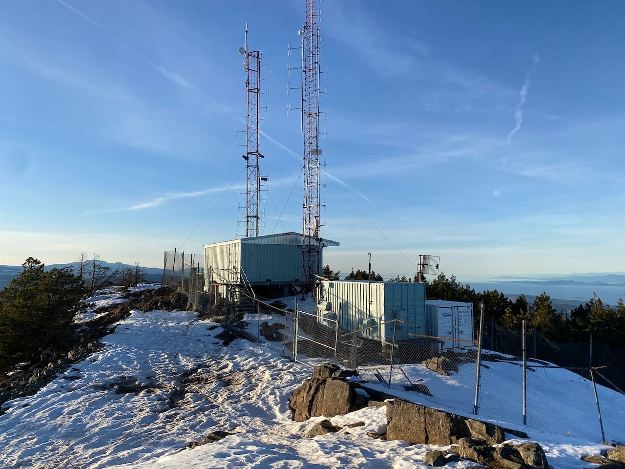
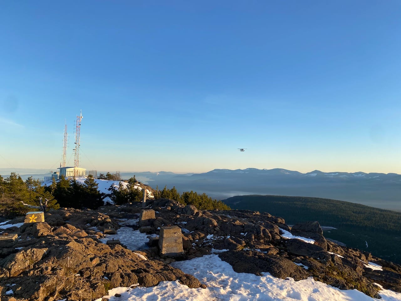
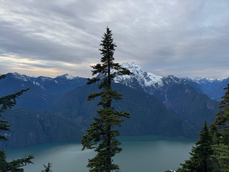
I went to the true summit first. From the “Chainsaw Ridge” trail, I followed a set of snowshoe tracks up a small gully, which led to the edge below the true summit. The highpoint is marked with a radio station, blocking some news, but some nice panoramas could be had to the west and south.
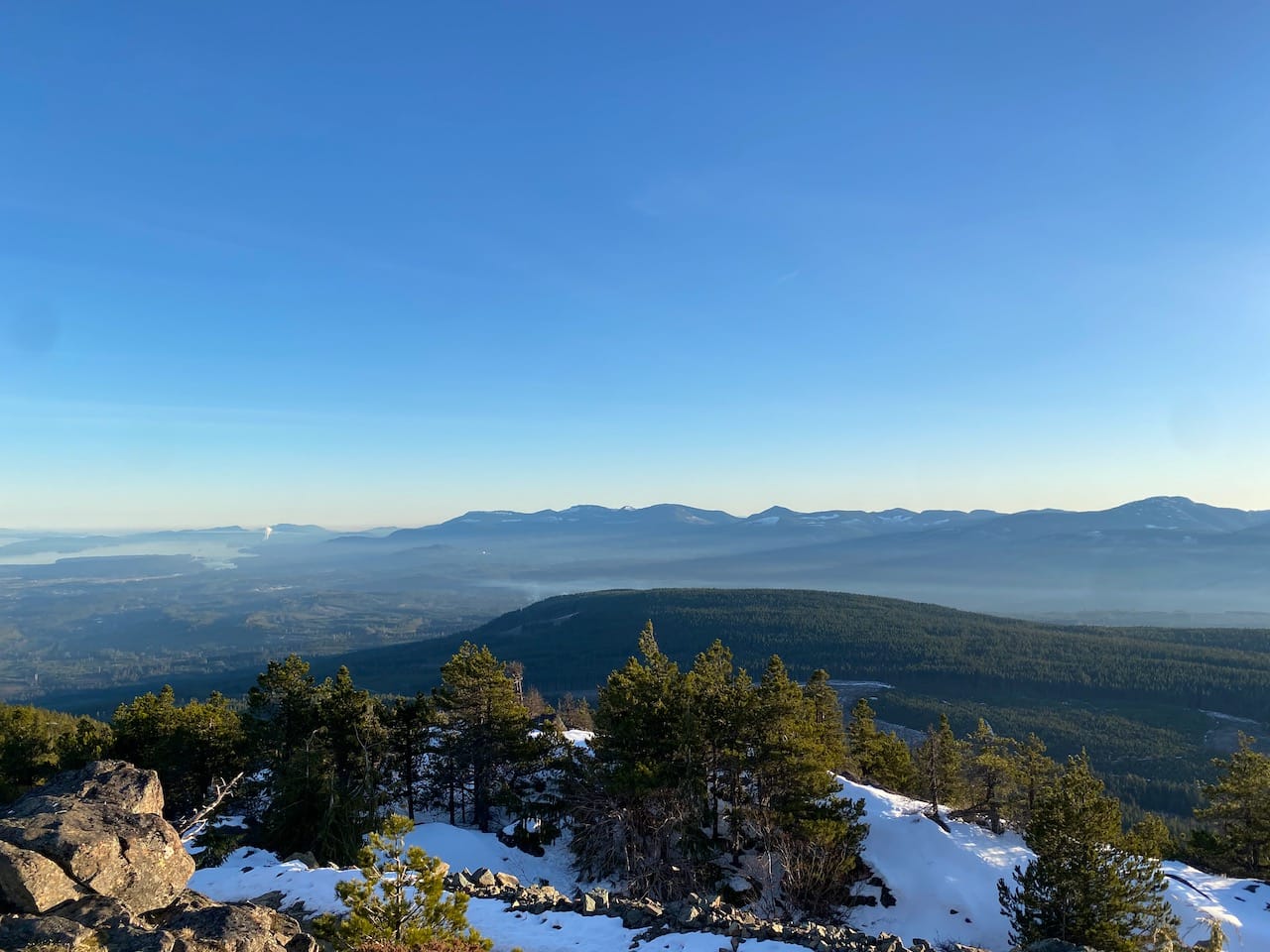
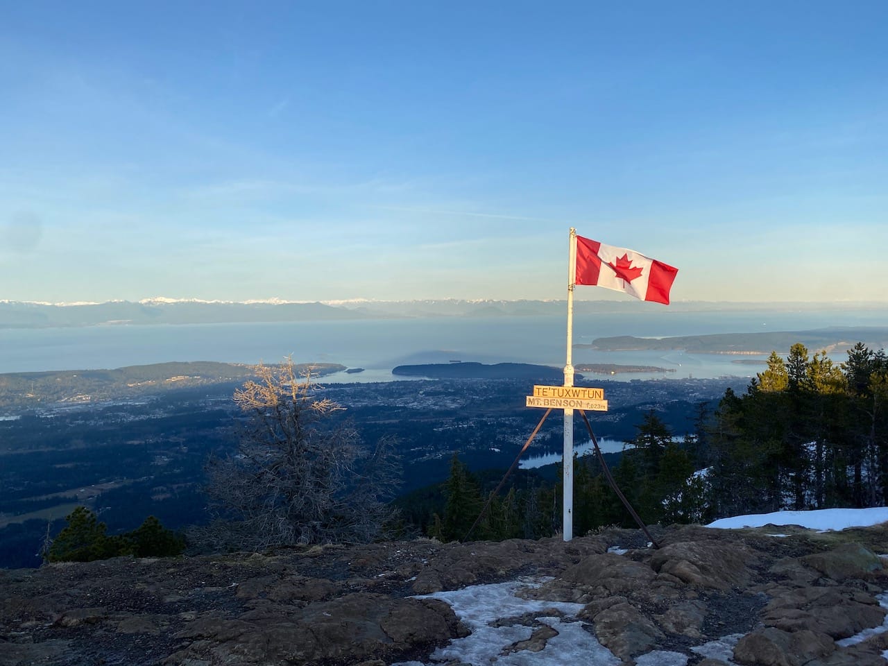
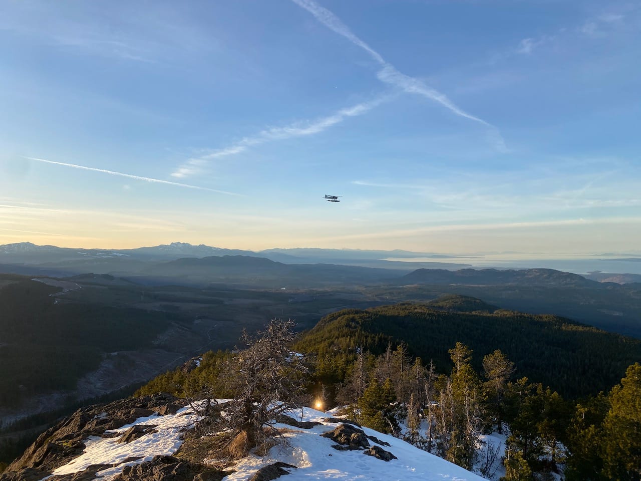
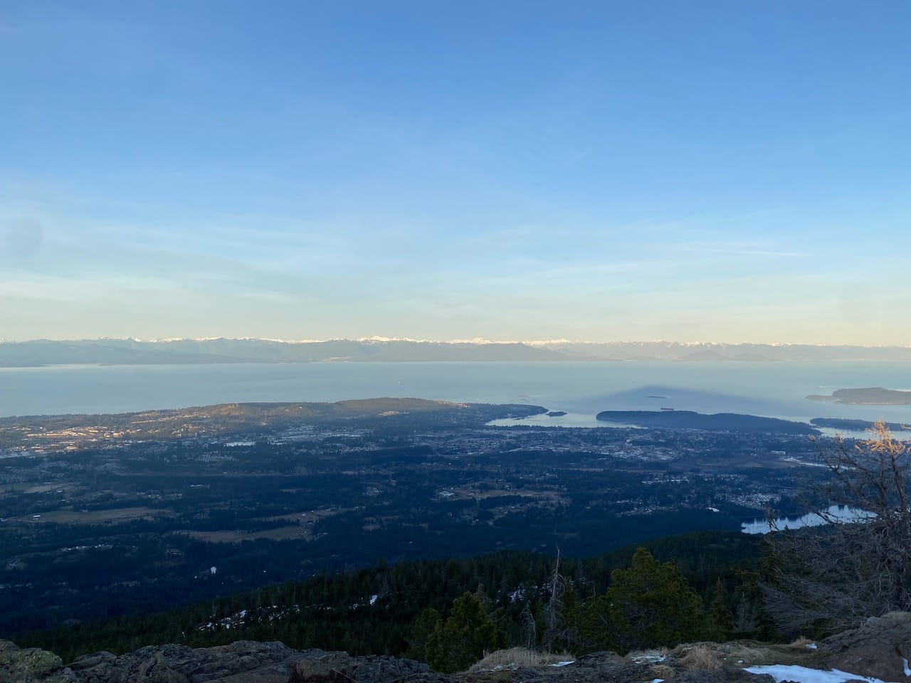
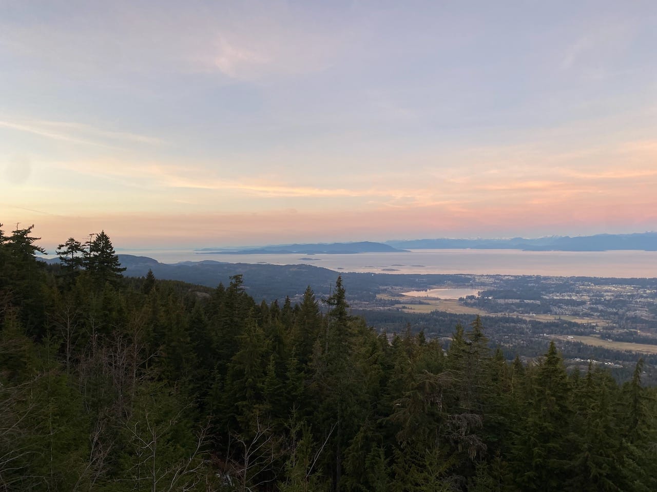
I retraced my steps and went back to the main trail, which led to the false summit. This was more open than the true peak and had good views to the west, north, and east, including a bird’s eye view of downtown Nanaimo and distant glimpses of the familiar North Shore mountains. A pole contains a Canadian flag and signs with the mountain’s First Nations and English names. To the north I could see my original, more ambitious route I’d had to turn around on. I’ll be back…
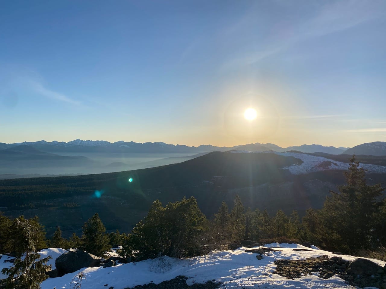
The sun was setting soon so I couldn’t linger for too long. I jogged down “Gordie’s Trail” to the northwest of the false summit, eventually rejoining the main ascent route. Another detour onto the Fossil Trail was interesting, although no fossils were seen.
I made it to the parking lot just as it got dark, hitched a ride to the ferry terminal, waited in the nearly-deserted terminal for a couple hours, then caught the last boat home.
Member discussion