Mount Arrowsmith
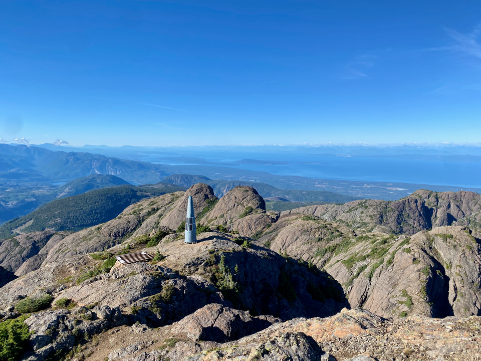
Date: September 16, 2024
Distance: 4.43km round trip (6.9km round trip if you stay off the rougher parts of the logging road)
Elevation gain: 883m
Mount Arrowsmith is the tallest mountain in southern Vancouver Island. The massif, composed of a series of granite domes, dominates the skyline nearby and is still clearly visible from downtown Vancouver. As expected, this peak boasts stunning panoramic views all across the island and beyond.
There are several ways to the top, but all are technical, except for the Judge’s Route. This route is short but it’s consistently steep, climbing almost 900 metres in just over 2km, and includes a couple sections of class 2 scrambling. It should not be underestimated. On top of that, the route is on land privately owned by the logging company Mosaic, along a road with a gate at its entrance. When I went, the gate was only open on weekends, with seasonal hours. In September the gate closed at 6pm. I arrived at the trailhead around 3:10pm after being stuck in traffic on my way back from Nanaimo. I’d have to climb very quickly to make it to the summit and back before being locked out…
The logging roads, being mainlines, are in very good shape except for the last 1km, which is quite narrow and has some loose rocks. Many cars were parked before this section but I managed to get a bit further, almost to the end. As soon as I left the logging road, the relentless climbing began.
The first part of the trail is mostly switchbacks, then the trail essentially goes straight up the mountainside. I passed several hikers heading down. One hiker in particular seemed quite convinced that I wouldn't make it. This provided some pretty good motivation to ascend even faster.
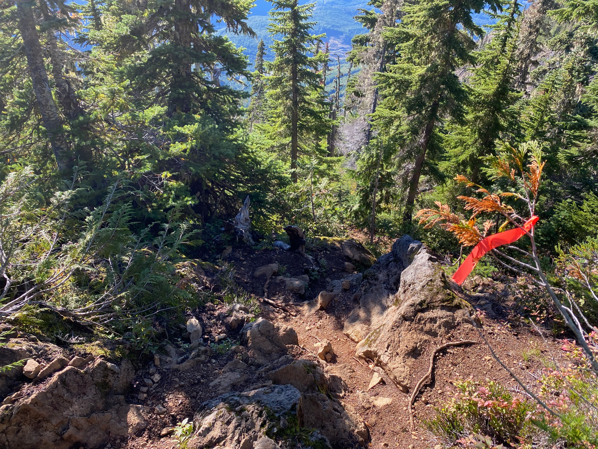
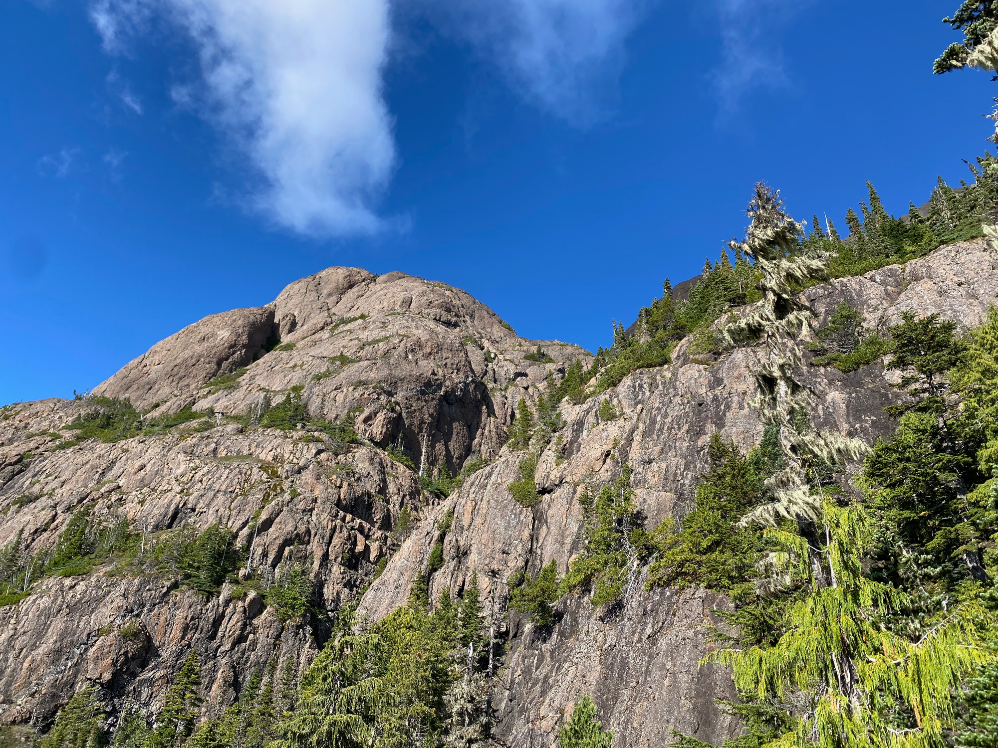
Around 1500m the route began to leave the trees, giving good views of the summit. A couple scrambly sections followed. The trail passed a bump to the left then ascended the main summit. There was a green radio repeater tower just below the peak and two more on the actual summit. From the peak the views were incredible.
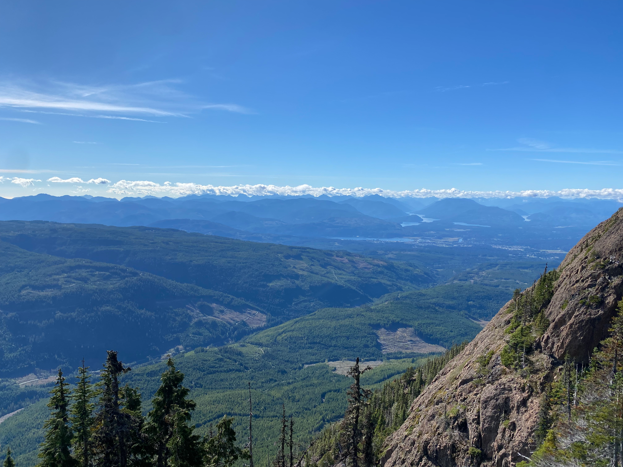
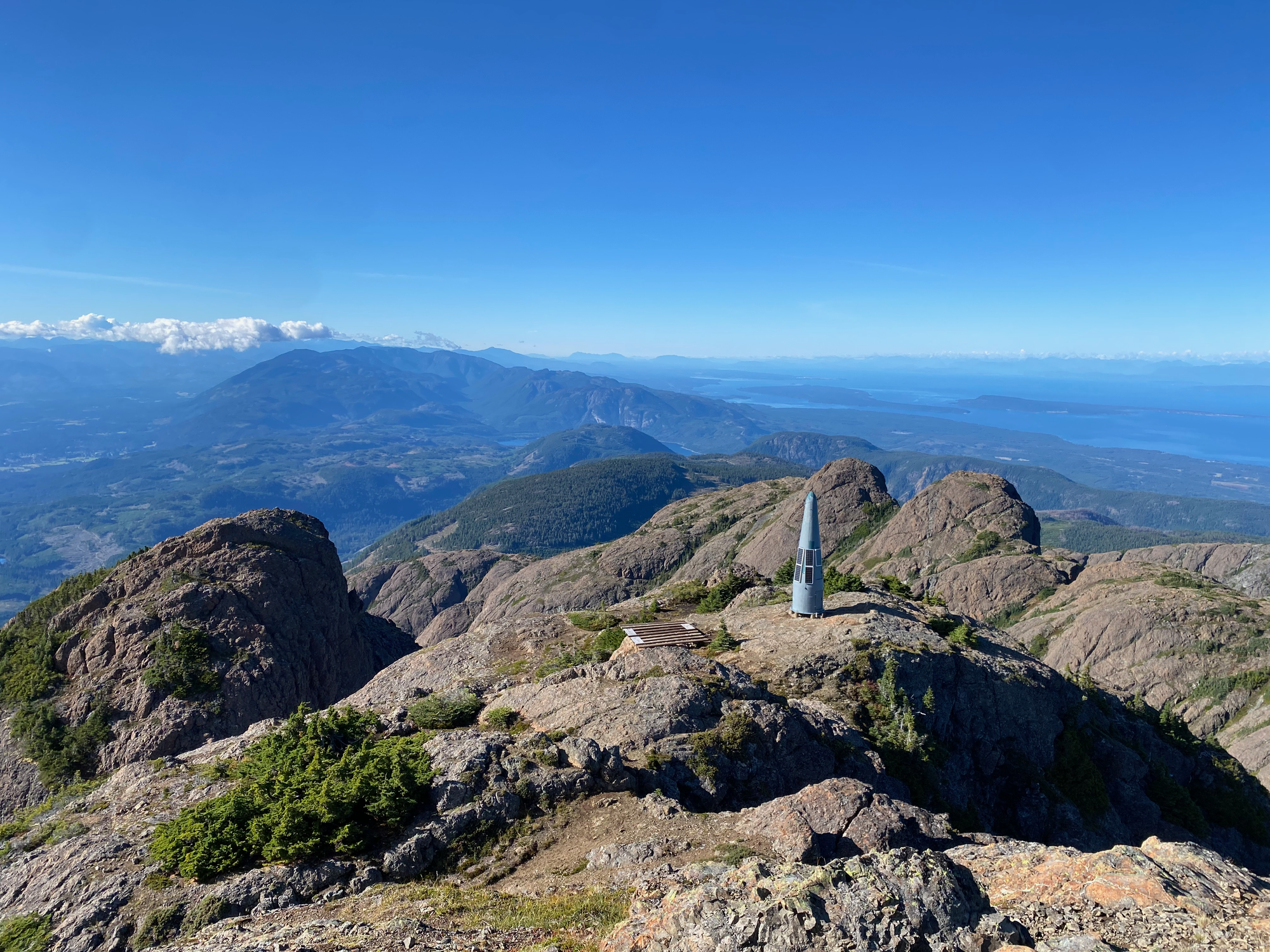
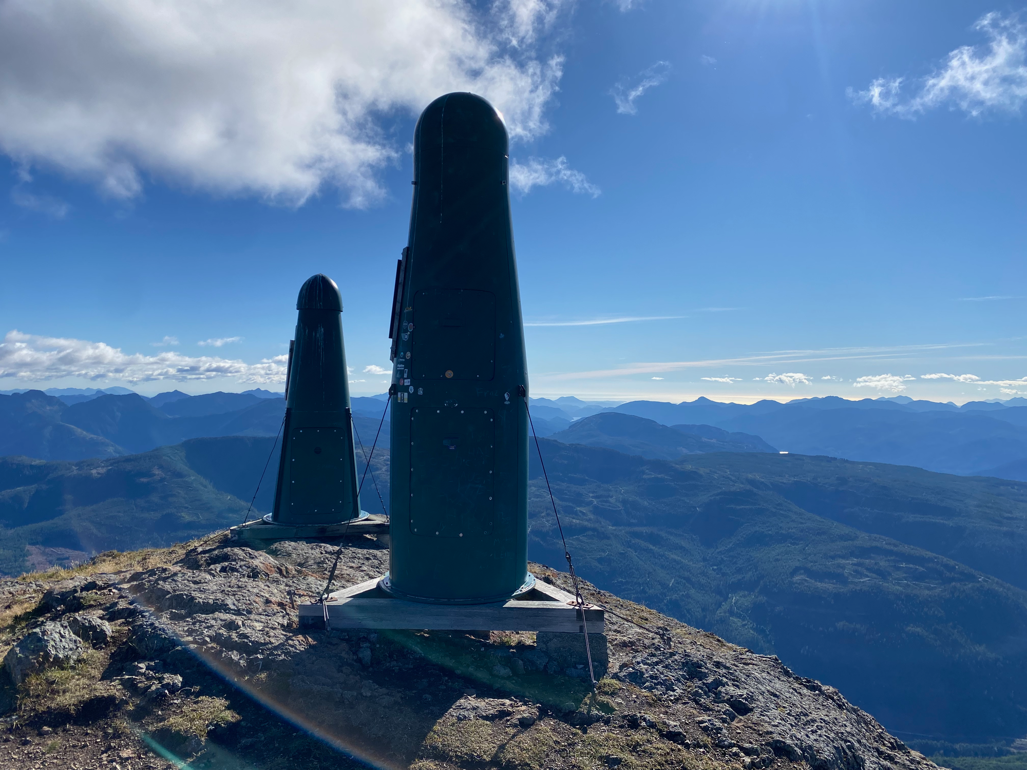
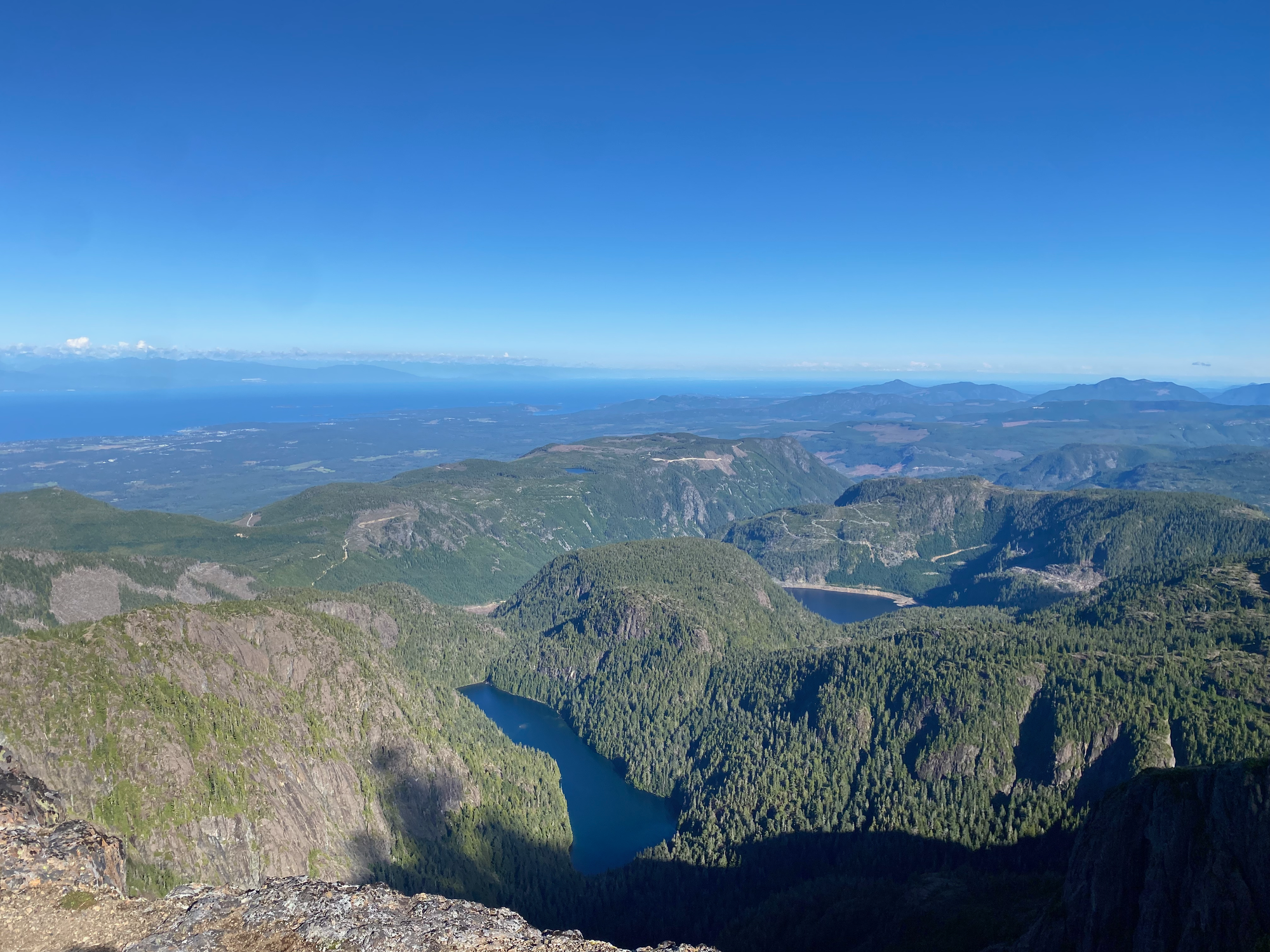
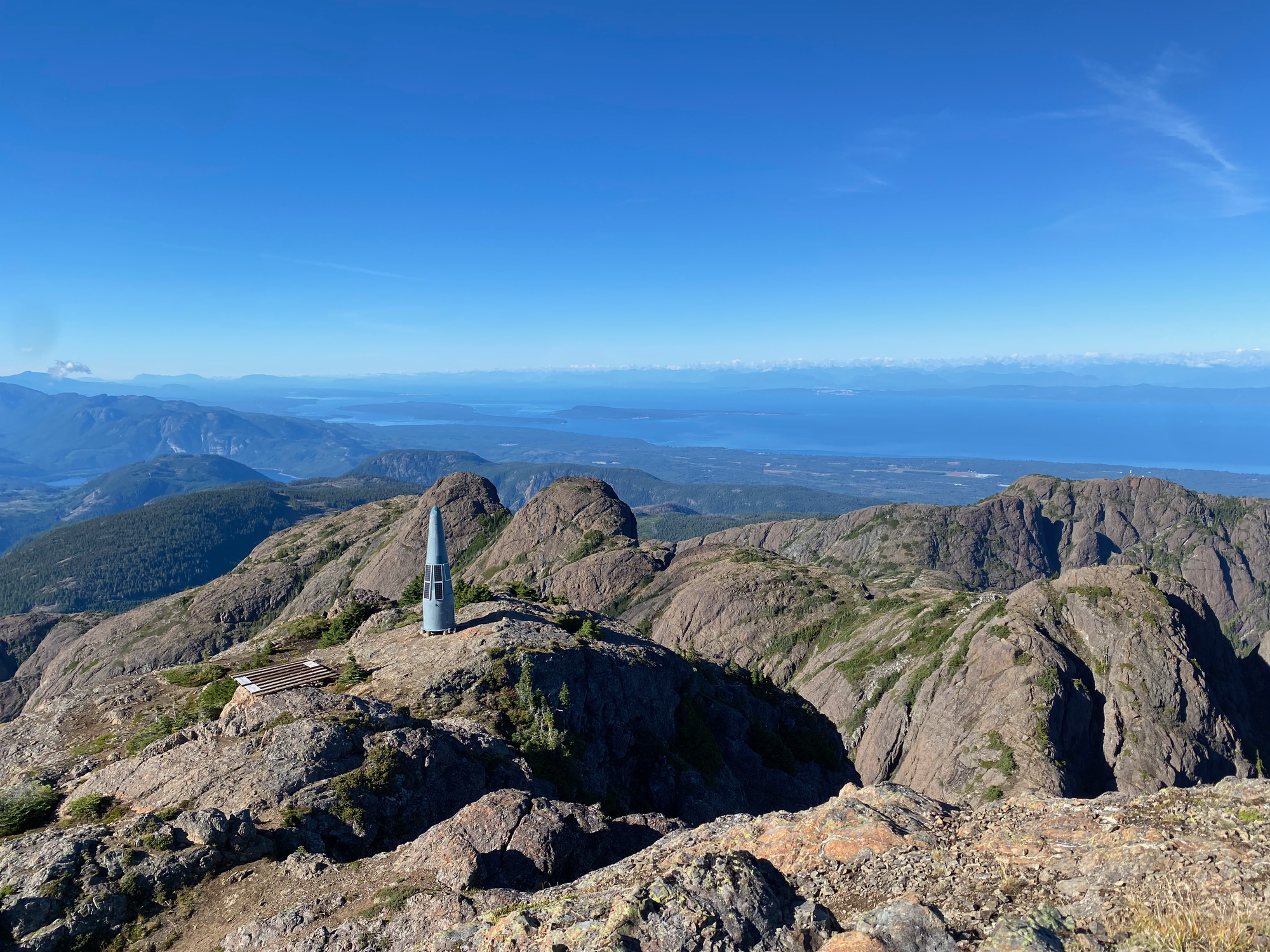
After about eight or ten minutes, it was time to head down. The descent went by quickly. I made it back to the car around 5:10 and immediately made a beeline for the gate, playing western movie theme songs at high volume to set the mood. I passed the gate in time and drove to Port Alberni for the next hike of the trip.


Member discussion