Morro Peak
Date: May 29, 2025
Distance: 5.2km
Elevation gain: 651m
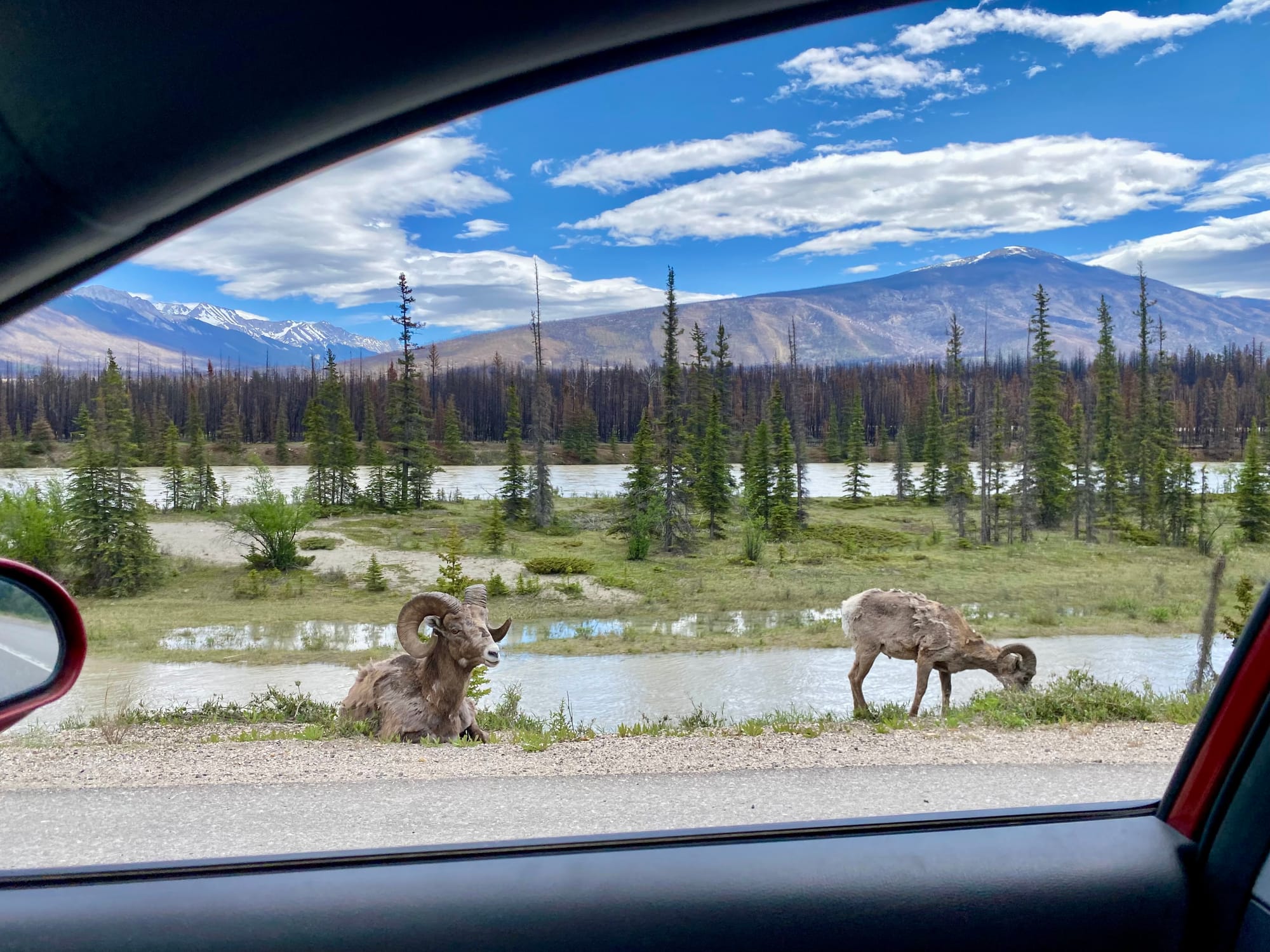
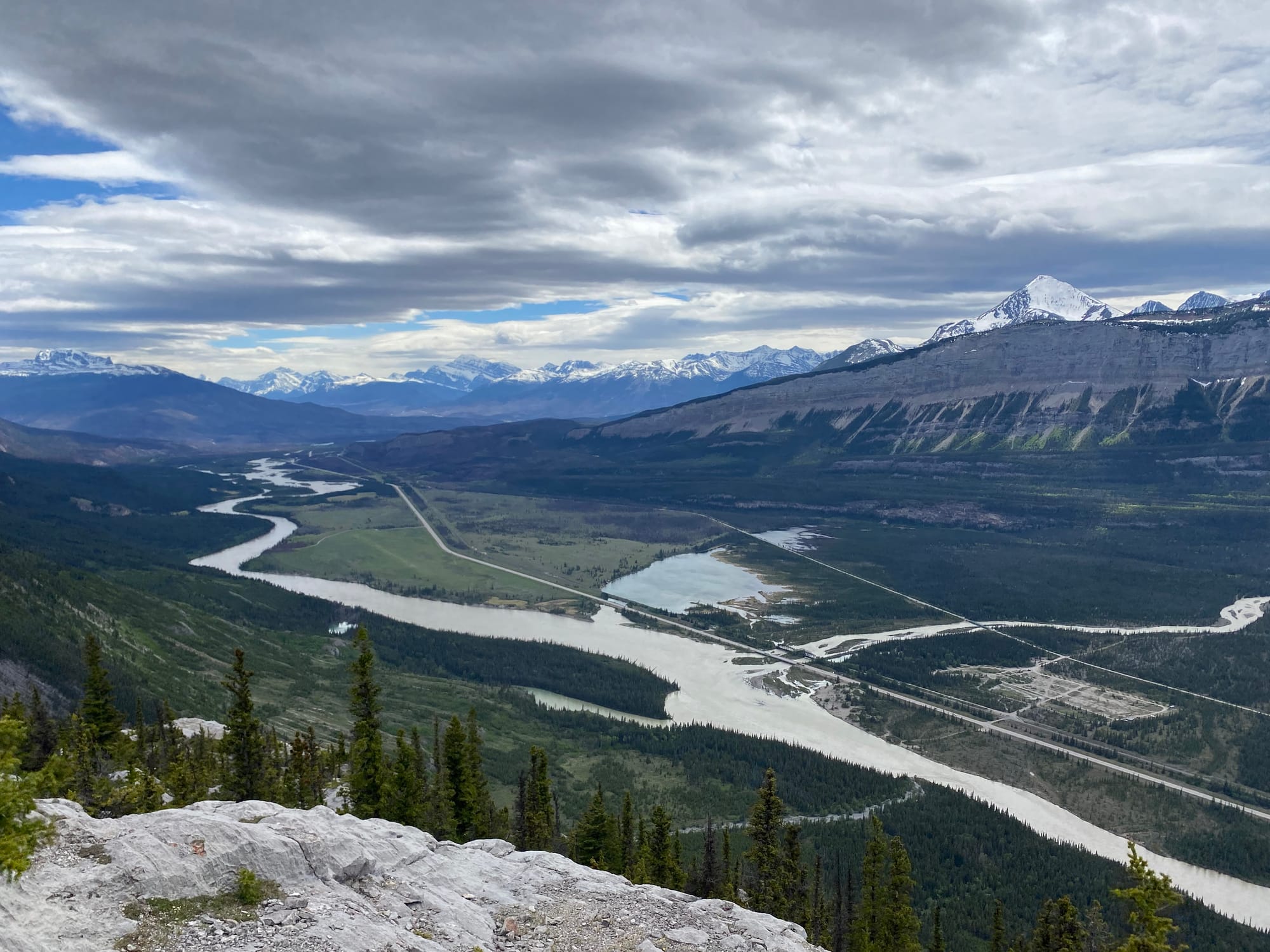
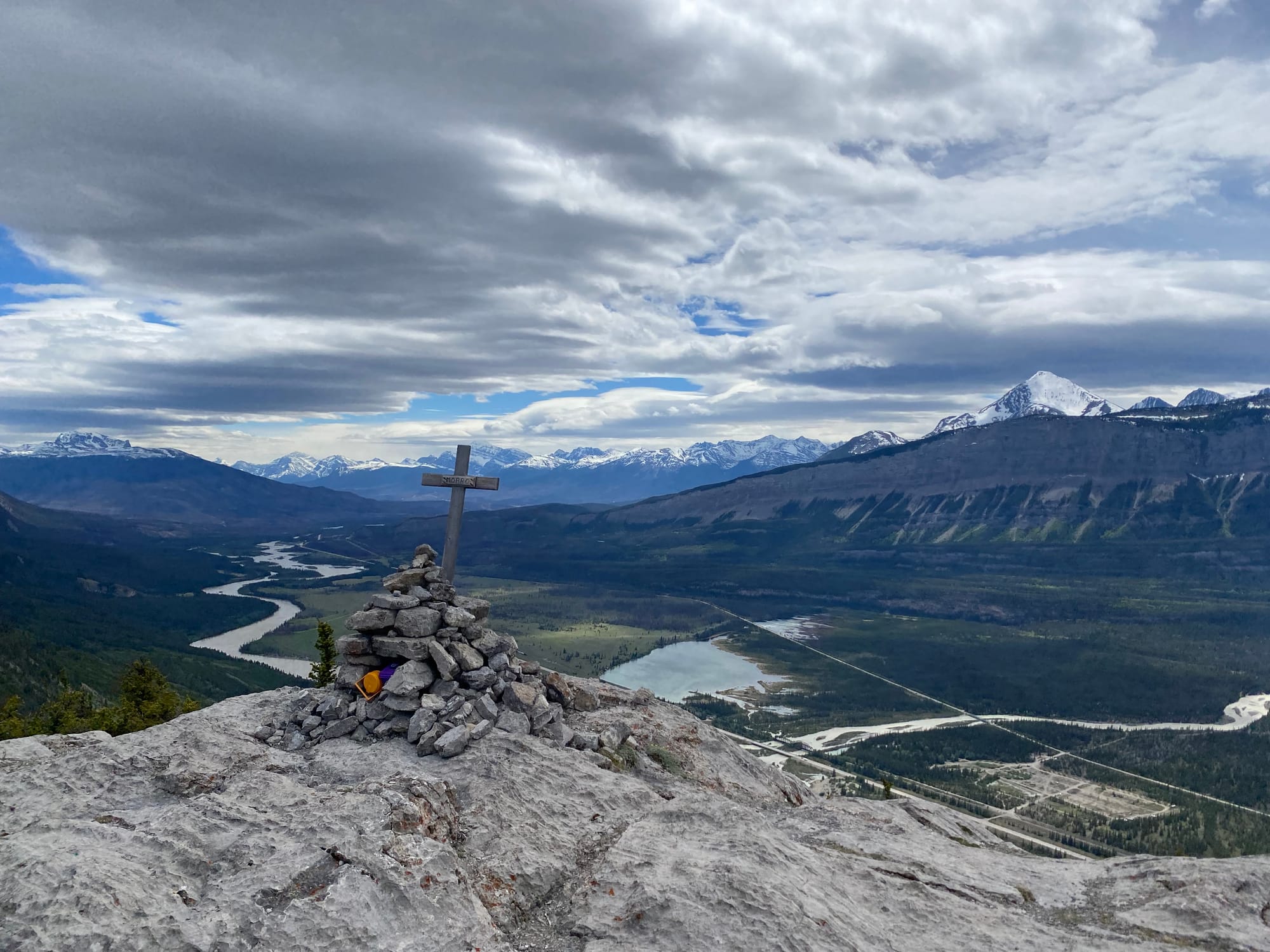
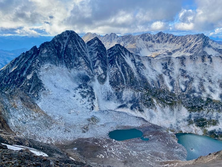
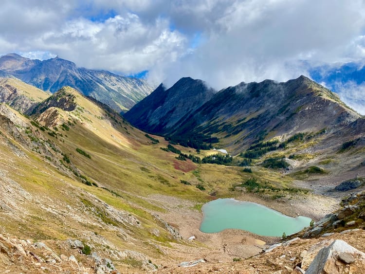
Morro Peak is a small mountain in the Canadian Rockies, located 15 minutes north of the town of Jasper. A short trail with some steep sections leads to the summit, which offers excellent views of the surrounding mountains. As such, it's a good introduction to the area, especially if you’re just driving through and/or have limited time. Its lower elevation means that it is snow free earlier in the season.
I was driving through Jasper for work, but my schedule allowed enough time for a short detour. Morro Peak was the perfect hike for this situation.
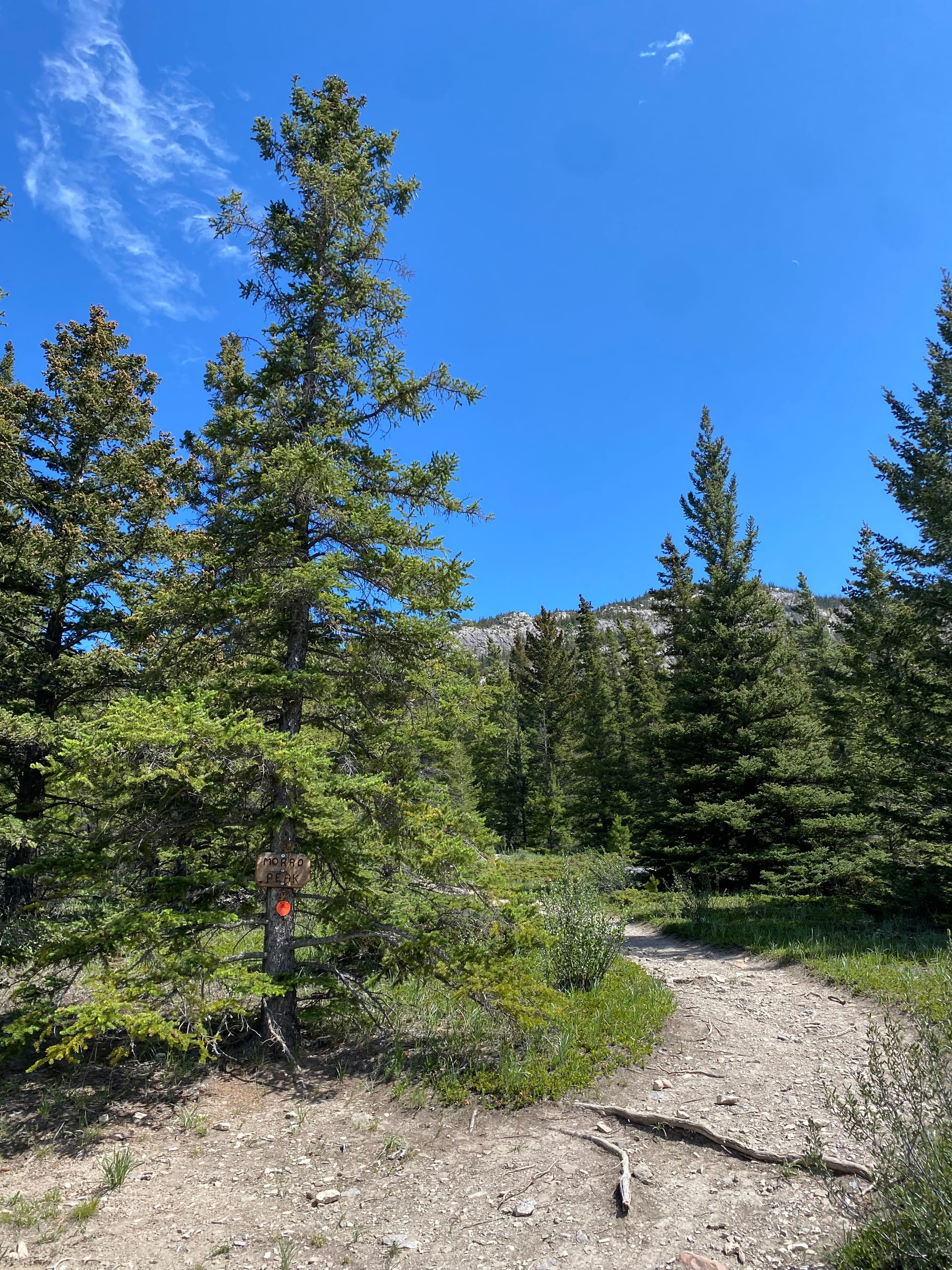
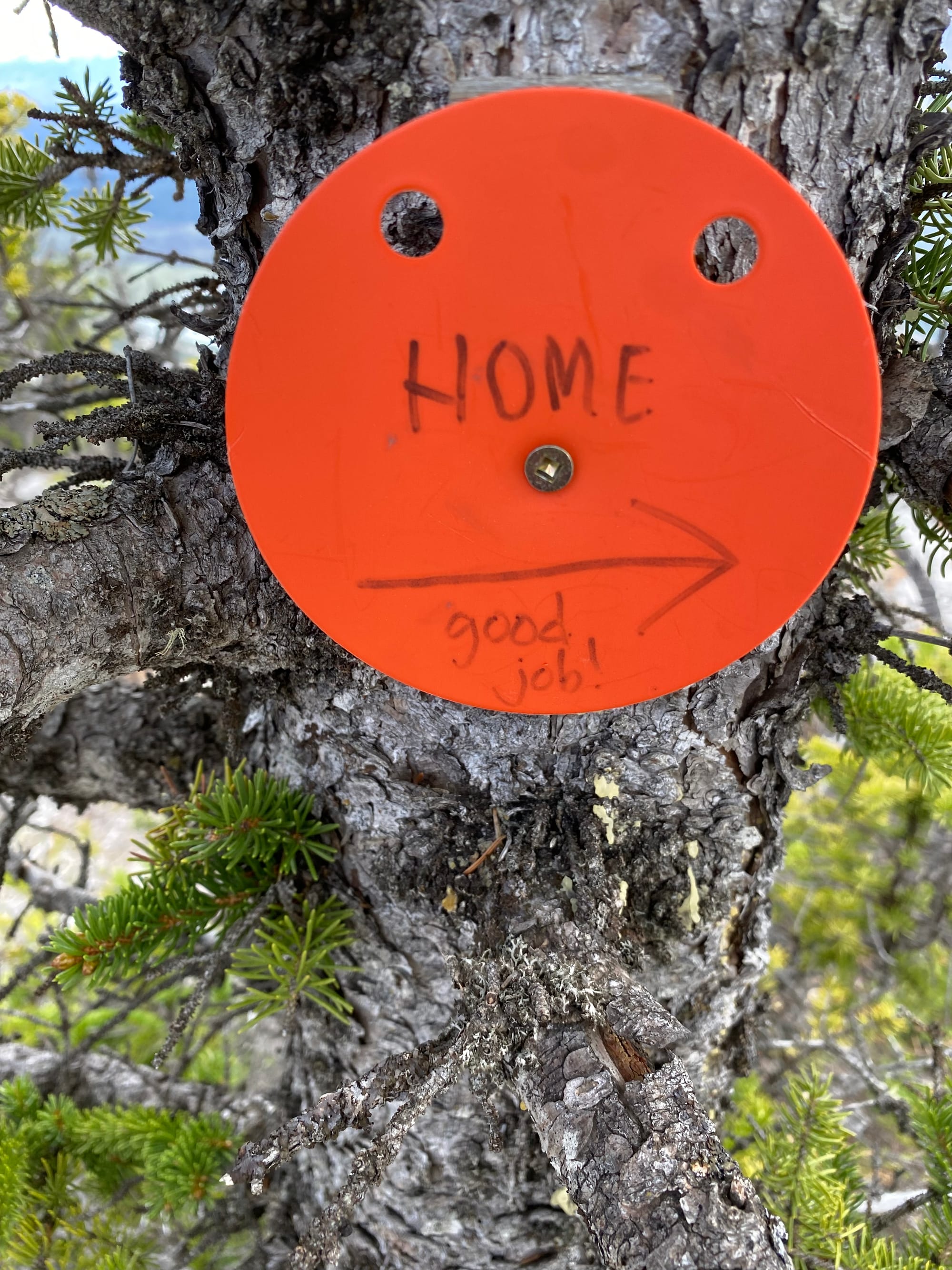
The trail starts at a parking area along the highway, just north of a bridge over the Athabasca River (“Morro Slabs” on Google Maps). Right away, the trail climbs steeply through the forest. There are a few side trails, and I briefly ended up on one leading to the top of a bluff with rock climbing routes. The main route to the peak is marked with orange blazes. There were a few steep and eroded sections that were surprisingly slippery.
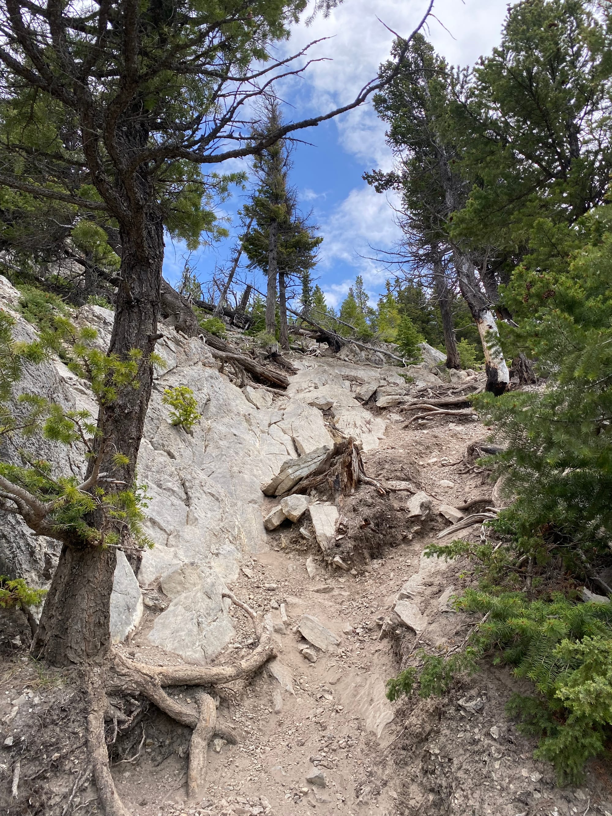
Near the summit, the blazes marked the main route, but it would be easy to wander into scrambly terrain (mostly class 2) if you were to miss the blazes.
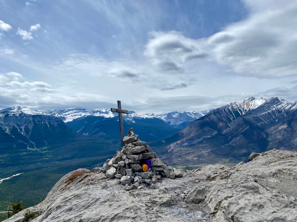
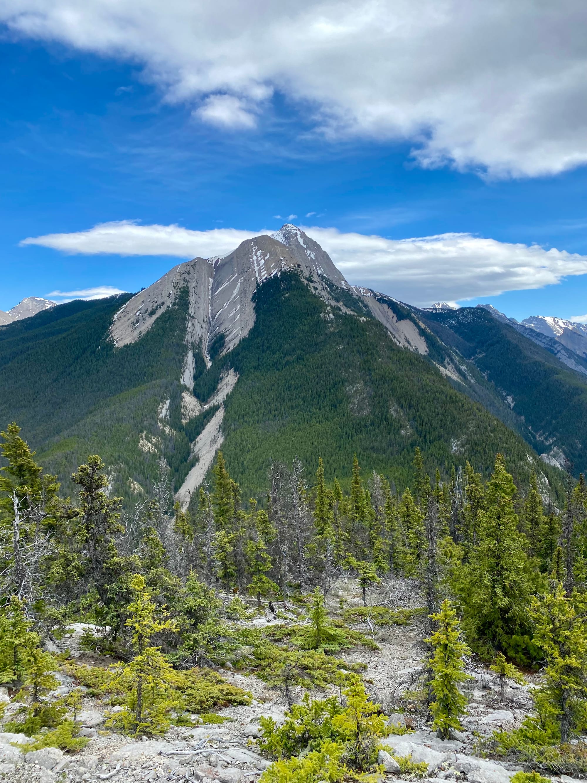
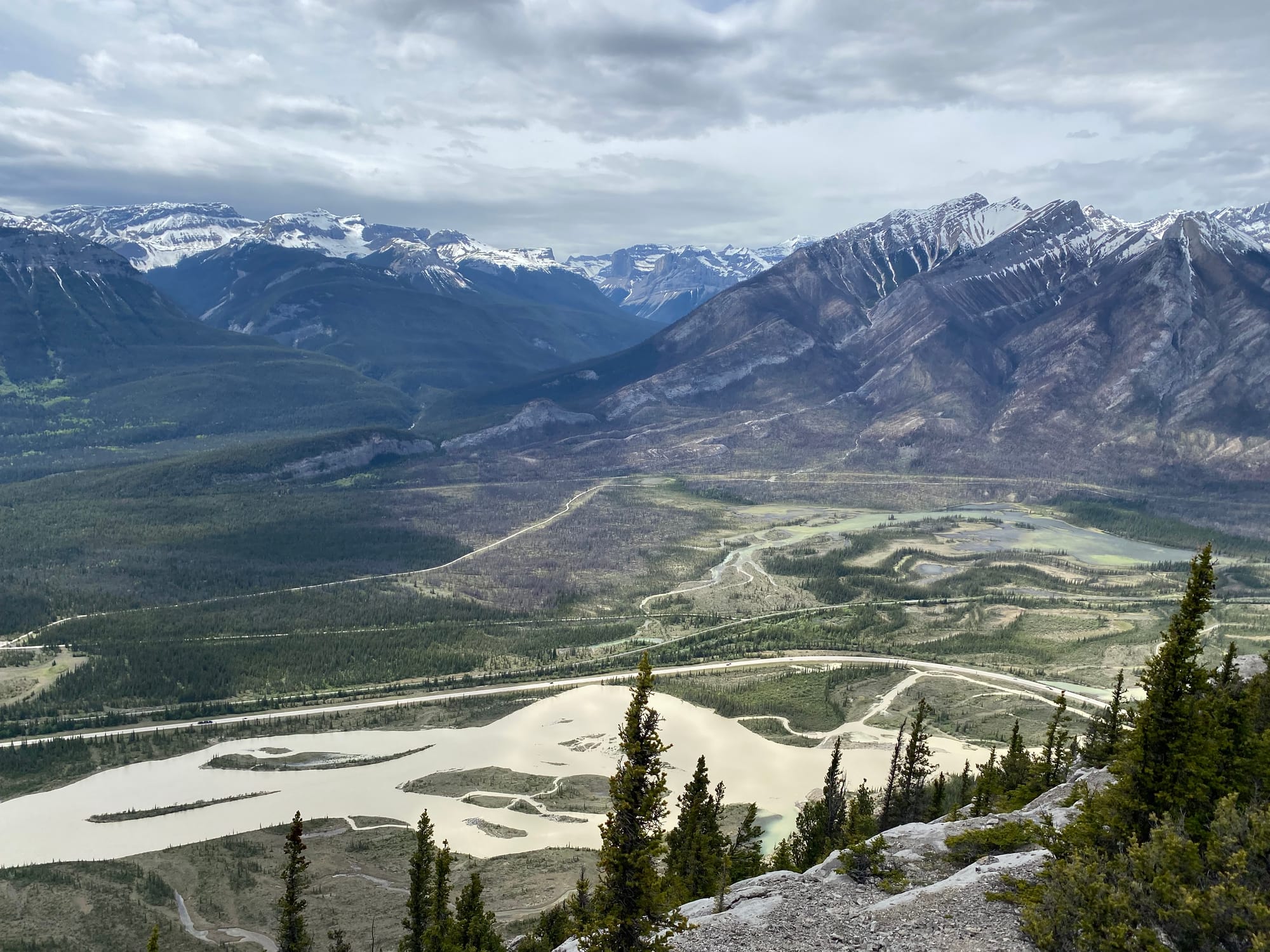
The summit is a flat, forested plateau, but the trees are relatively short, and there were enough gaps in the trees to offer great views. Across all the neighbouring slopes, swathes of burned forest marked the devastation caused by the 2024 wildfires.
I walked around the summit for a while, admiring the views, then it was time to return to work.
Member discussion