Mount Moosilauke
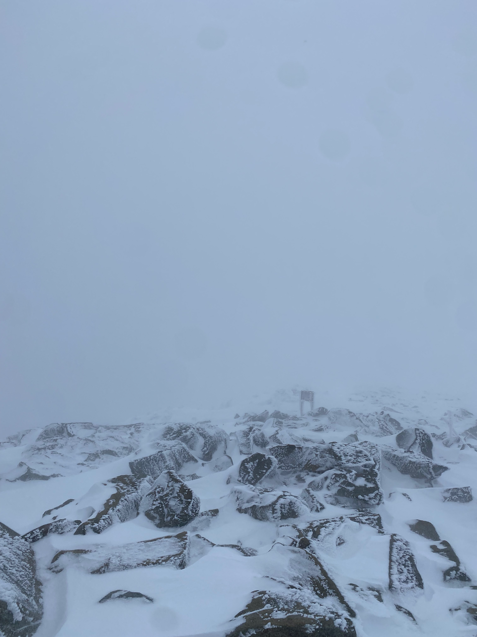
March 17, 2024
Distance: 11.4 km (trail) + 2.5km (road)
Elevation gain: 766 m
GPS: Alltrails Link
Mount Moosilauke is located at the southwestern end of the White Mountains in New Hampshire. I hiked there with Finn and Yuanyuan from the MOC. After a Communauto-related delay, we left Montreal around 8am and drove southeast through the Eastern Townships, Vermont, and New Hampshire, with a delay at the border. At 3.5hrs each way (not counting the border delay) this was one of my longer day trips from Montreal.
The main route starts from the Moosilauke Ravine Lodge off New Hampshire Route 118. It being winter, the road to the lodge was gated off after about 1.5km, adding slightly over 1 km each way. At the lodge we decided to take the Gorge Brook Trail, the most direct route. The trail follows Gorge Brook then climbs to the ridge.
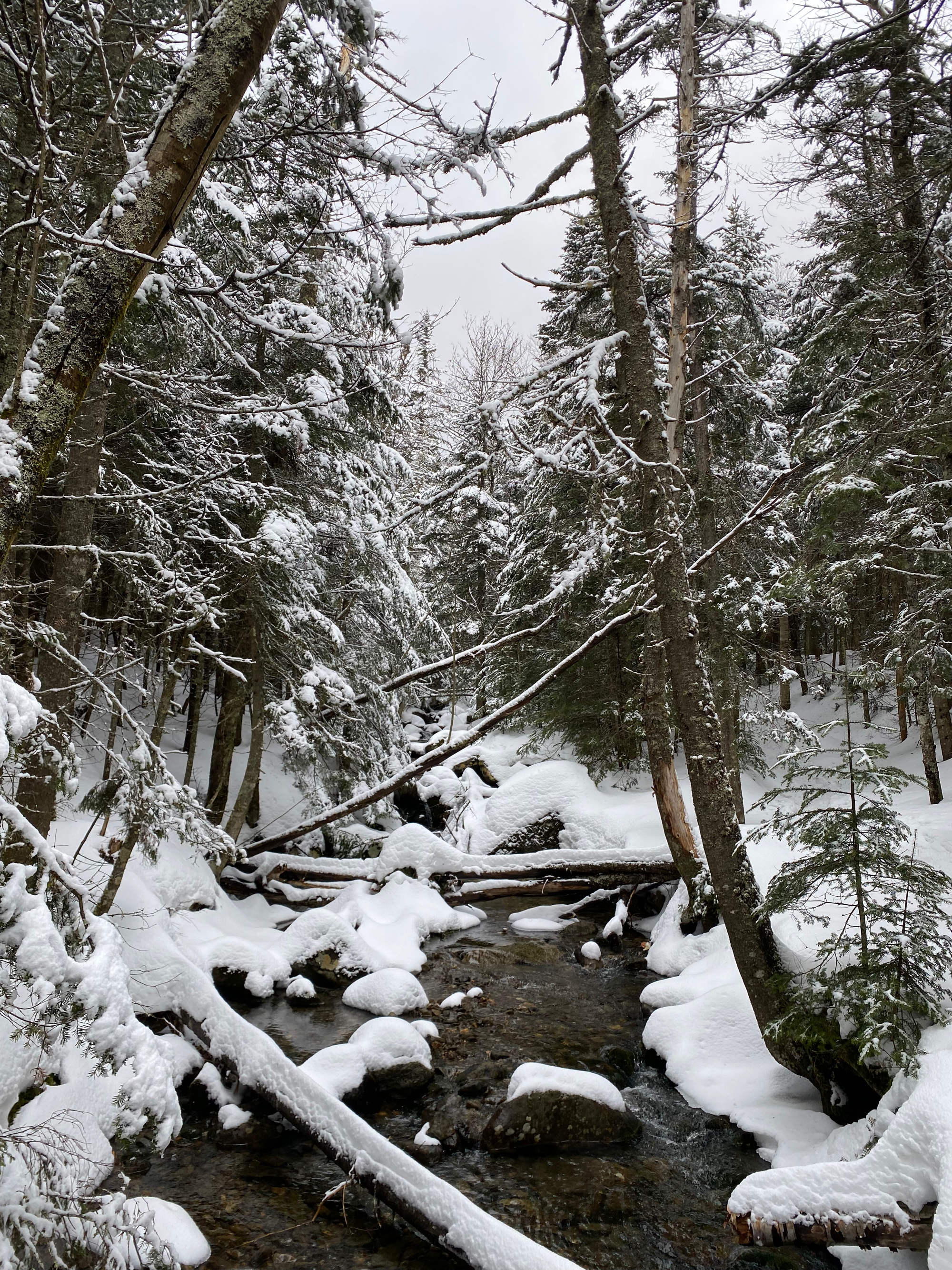
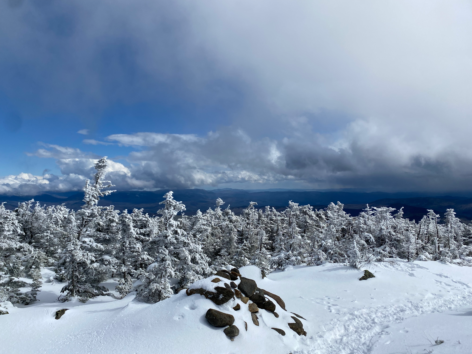
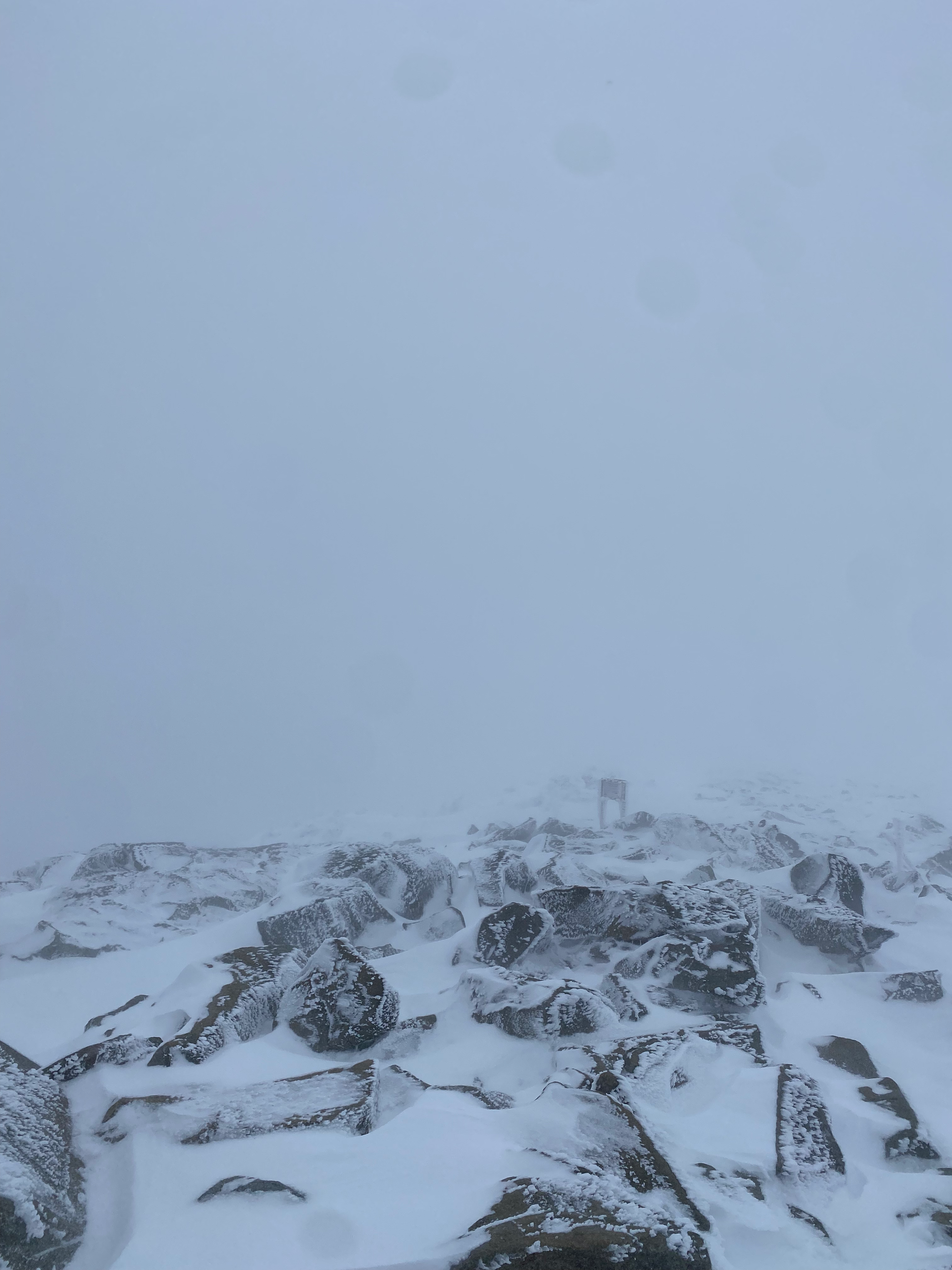
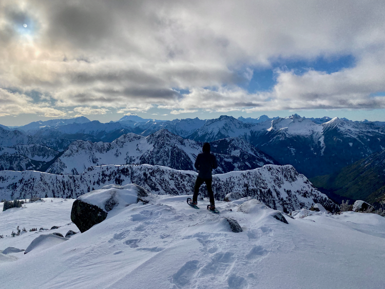
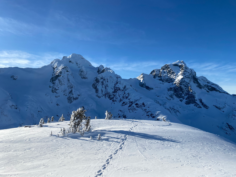
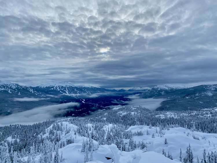
Eventually we emerged above treeline. There were great views immediately past treeline, but as we went further up the mountain, clouds covered everything and visibility and temperature dropped. We made it to the summit, decided not to wait for the clouds to clear (good choice, they didn’t) and left. Our original plan was to follow a section of the Appalachian Trail southwest along the ridge, but with the visibility and temperature this didn’t seem like the best idea. Instead we returned the way we came.
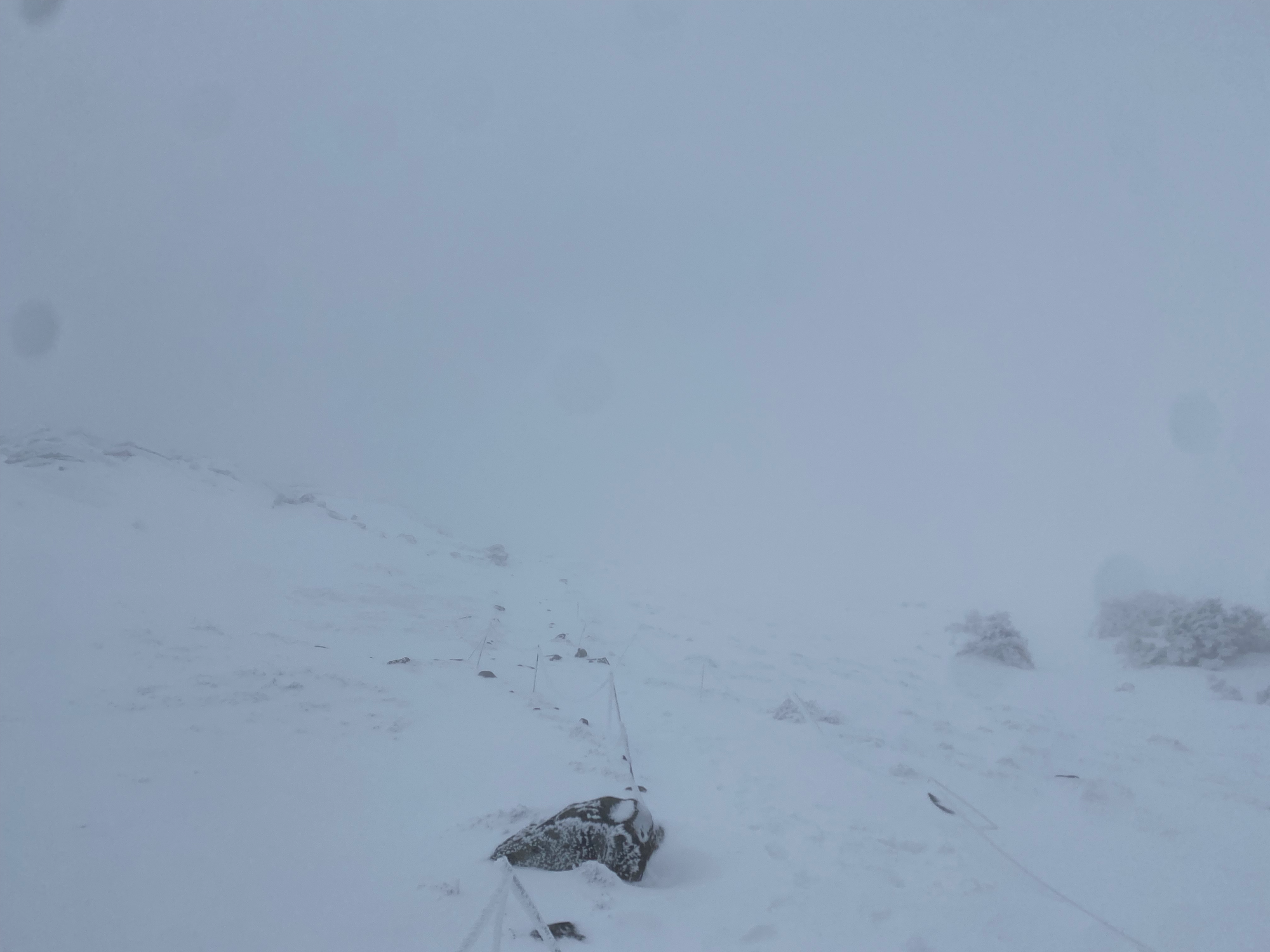
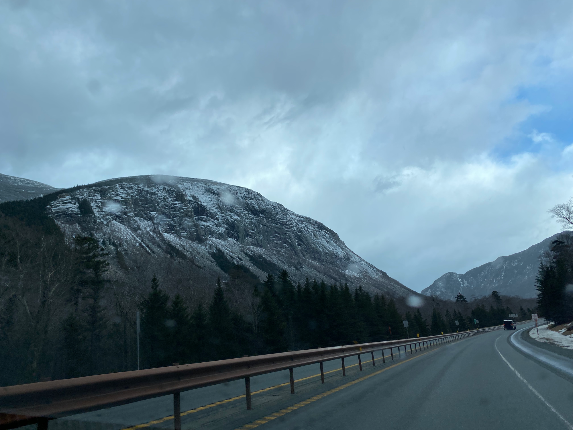
The descent went by quickly. We drove home, passing the mountains and cliffs of Franconia Notch, NH which were some of the most stunning I’ve seen out east. After another border delay and a stop for poutine in Magog, we made it back to Montreal.
Member discussion