Monts Groulx/Uapishka, Part 2 (Mont Harfang, Mont Provencher)
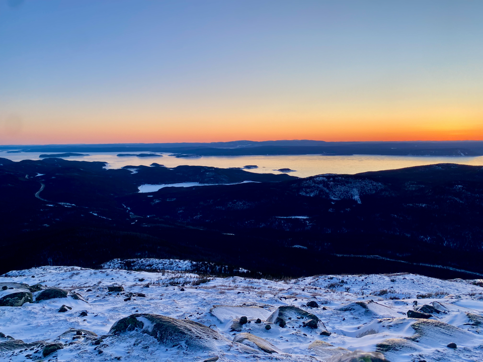
We arrived in the Monts Groulx around 2:30pm on March 7th, 2024 (our journey there is described in Part 1), and immediately went hiking.
Hiking in the Monts Groulx/Uapishka
Despite their remoteness, the Monts Groulx boast an impressive array of well-defined hiking/snowshoe trails, built and maintained by volunteers from the Société des amis des Monts Groulx, who we would unexpectedly encounter later. They’re described on Station Uapishka’s website.
- Shoreline Trail: A 5km loop around the shore of the reservoir, starting and ending near the station.
- Mont Harfang: The most accessible mountain in the area. Accessed from two trails about 15 minutes north of the station. The north trail is 4.5km, the south trail is 3.5km, and they are often combined into a 10.5km loop that requires walking along the road. Offers excellent views of the reservoir.
- Mont Jauffret: A 14km (round trip) hike in the northern part of the range. Apparently the route is marked with cairns past the treeline, and the views of the reservoir and the rest of the range are great.
- Mont Provencher: Another mountain hike starting a couple kilometres away from the station. We ended up doing this hike on the 8th.
- Traverse: There’s also a 42km route that connects the Jauffret and Provencher trailheads, traversing the western part of the range. Unfortunately time didn't allow us to do this route. Hopefully I can come back and do the full traverse someday.
- Some groups fly into the even more remote eastern section of the range and traverse the full length of the mountains over a couple weeks.
All of these trails (except the Shoreline Trail) are depicted on trail maps. The Amis des Monts Groulx have a map available here, and we bought a different map at the Manic-5 gas station. You’ll have to ask Station Uapishka staff for info about the Shoreline Trail, it’s not on either map.
Side note: we were very impressed with Station Uapishka and we had a great time there. The staff were extremely helpful, even when dealing with our broken French, and very knowledgeable about the mountains. Also, our rooms were spotless and very comfortable. I’d definitely stay there again if I came back to this area.
We decided to quickly ascend Mont Harfang in the afternoon, then do a longer hike to Mont Provencher with some of the hitchhikers the next day. To avoid walking along the road, we did an out-and-back from the northern Harfang trailhead. We all strapped our snowshoes on, except for one group member who wanted to bring his new crampons, which he would end up regretting!
The trail was extremely well-marked and broken out. All of us felt exhilarated to hike off our Manic-5 cabin fever. Walking and running after days of inactivity has to be one of the most satisfying feelings possible.
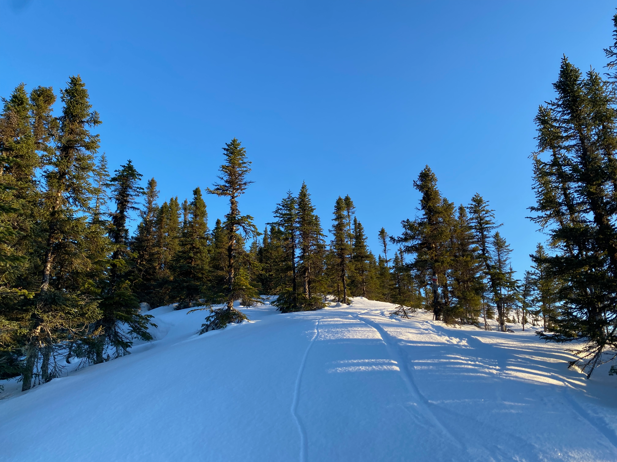
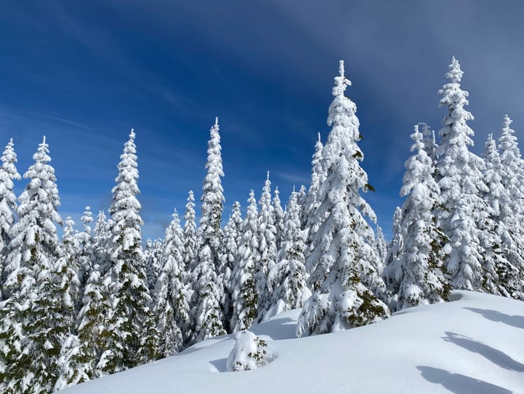
The first couple kilometres took us up a gentle slope through the boreal forest, with a detour to cut across a frozen lake. After about 2km the trail reaches an interestingly-designed bridge, which was closed for the winter.
After the bridge, the trail turns south and climbs steeply up the mountain. There is a nice viewpoint at a clearing about 1.5km from the bridge. The summit looked deceptively far.
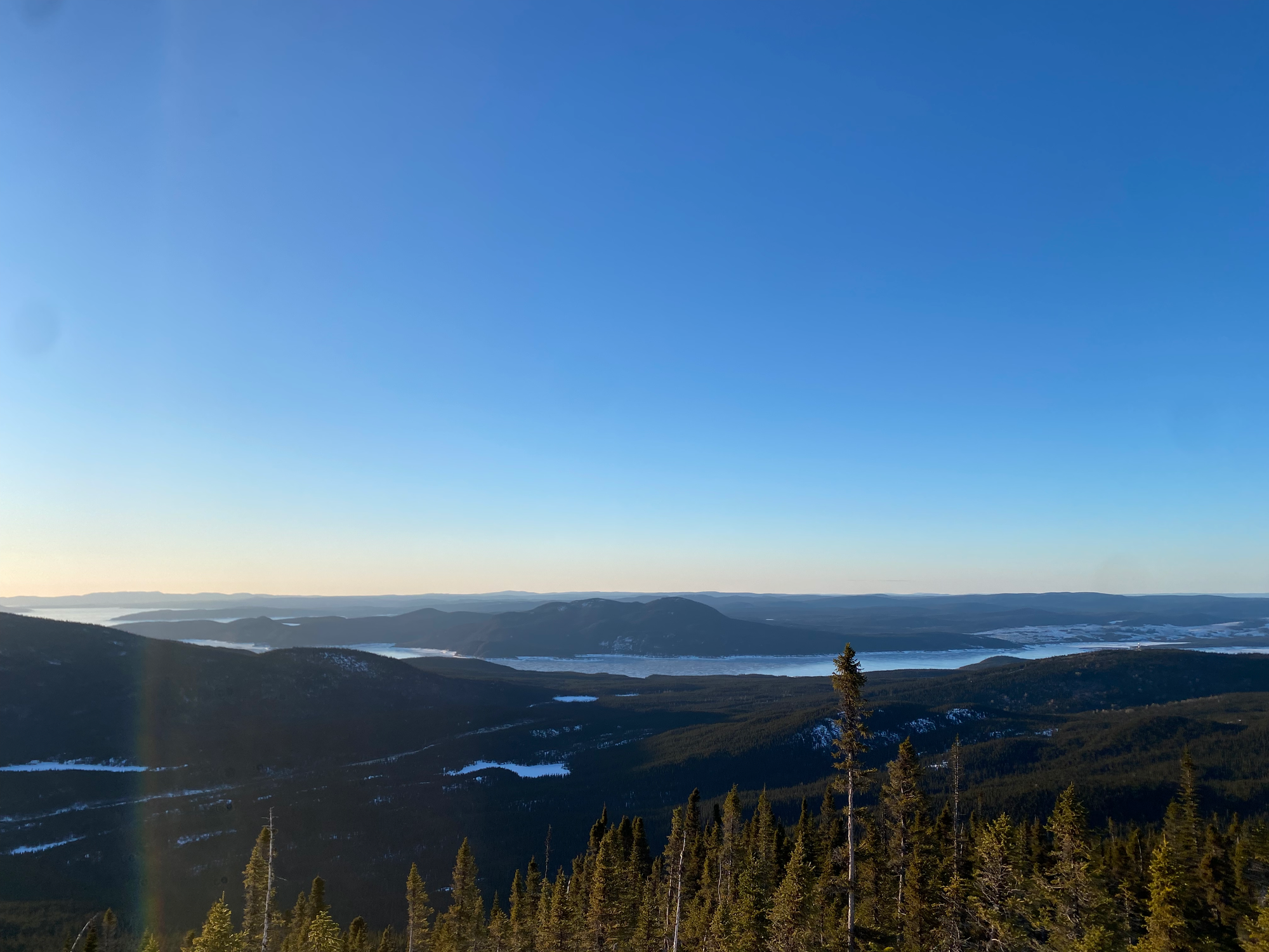
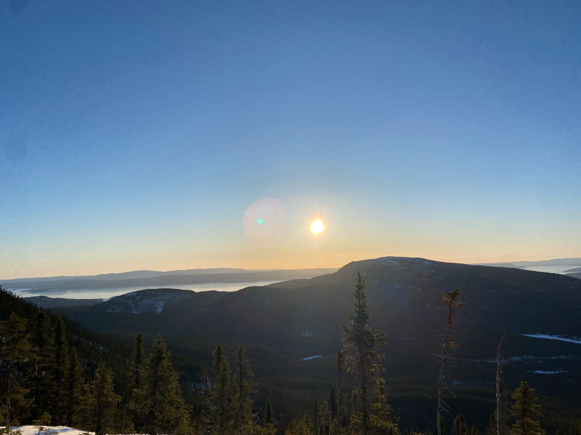
It was getting late so we decided to push on to the summit. Past the viewpoint, the trail traverses a somewhat steep slope, goes up a small gully, then emerges above treeline with superb views in all directions.
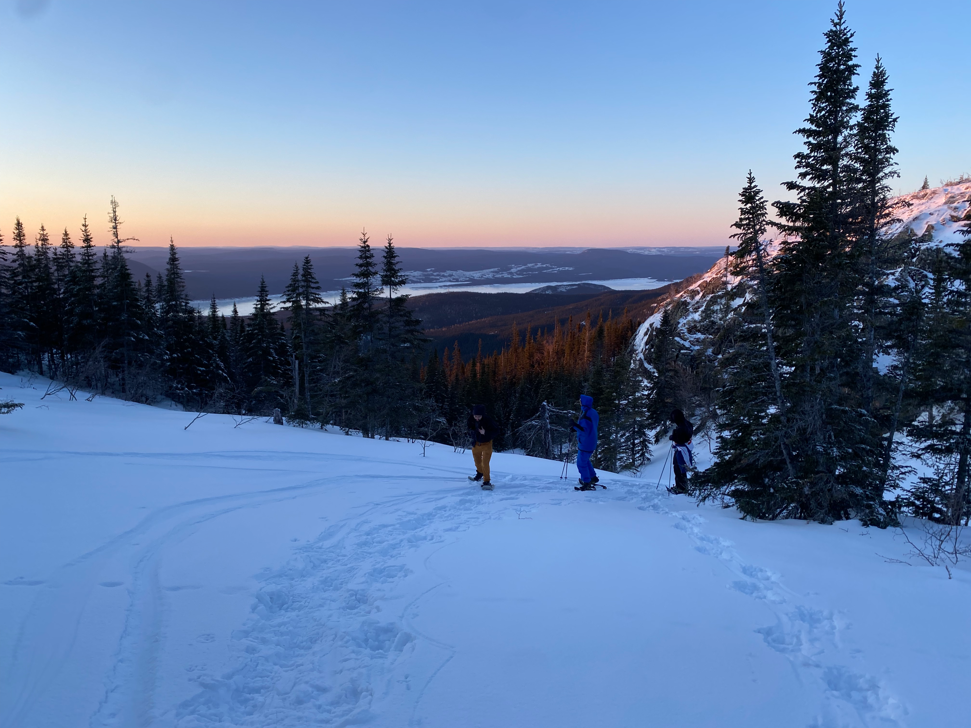
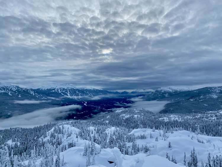
Like most of the mountains here, the summit of Harfang is an extremely wide and flat plateau. Past treeline, the highpoint seemed deceptively close, but it took us another 10 minutes to get there. As we hiked, the sun set behind the lake, bathing the mountains in a red glow. It was extremely windy so we didn’t stay long.
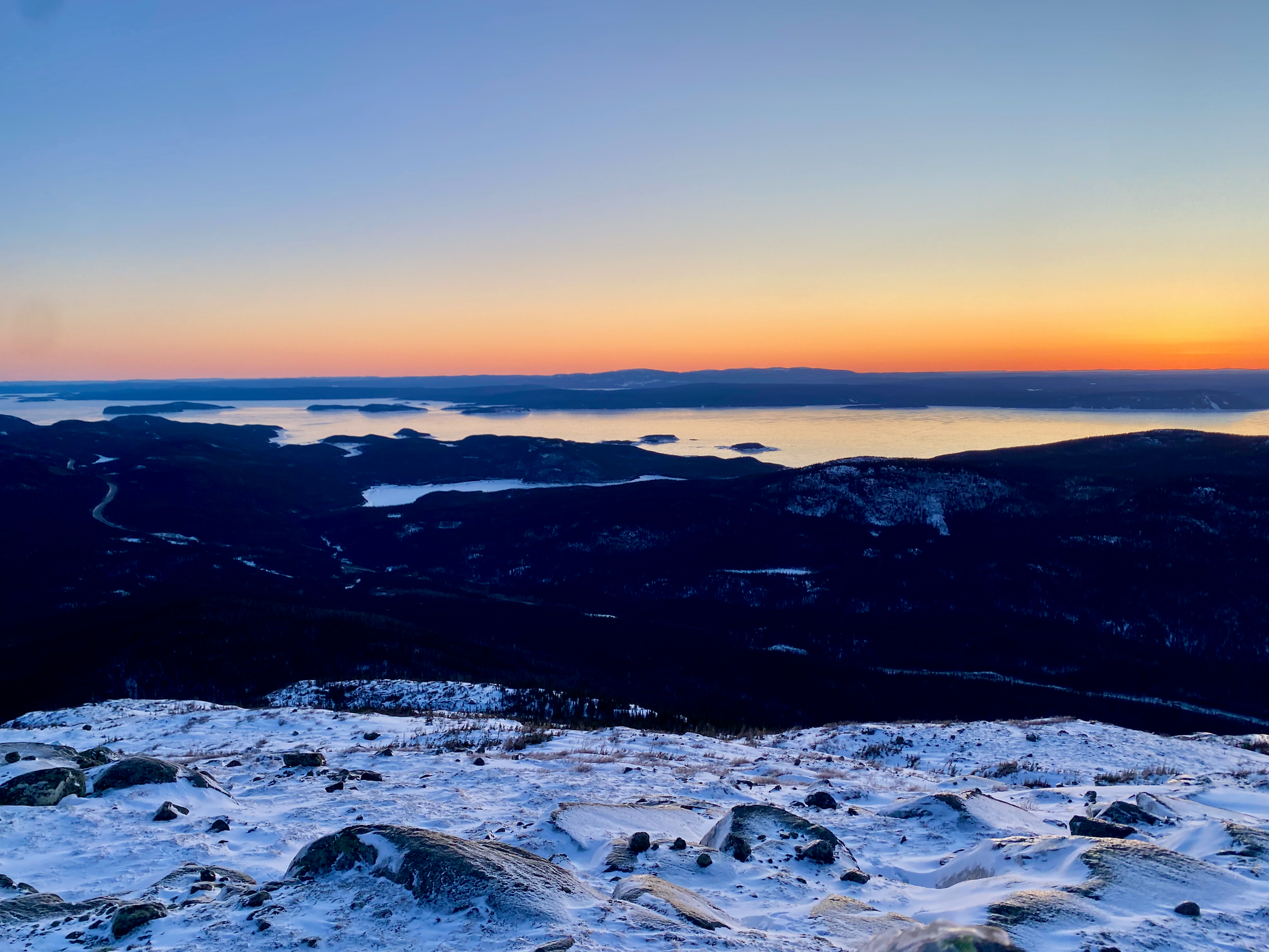
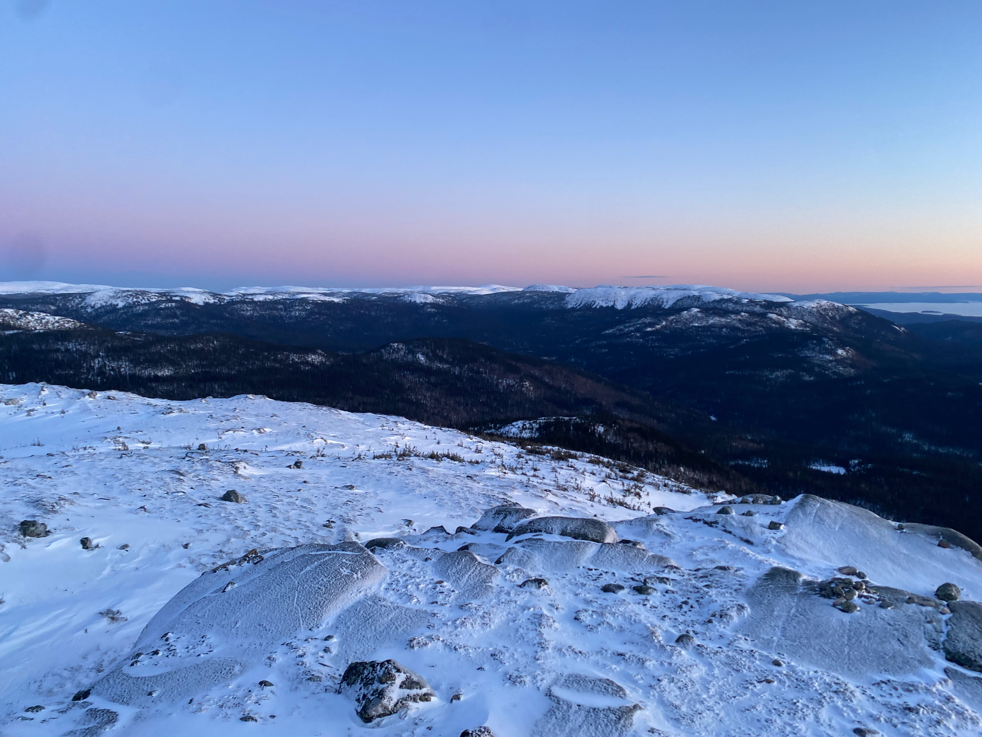
The descent was eventful. I brought two headlamps and a set of extra batteries, but of course none of those worked, so we had to share headlamps.
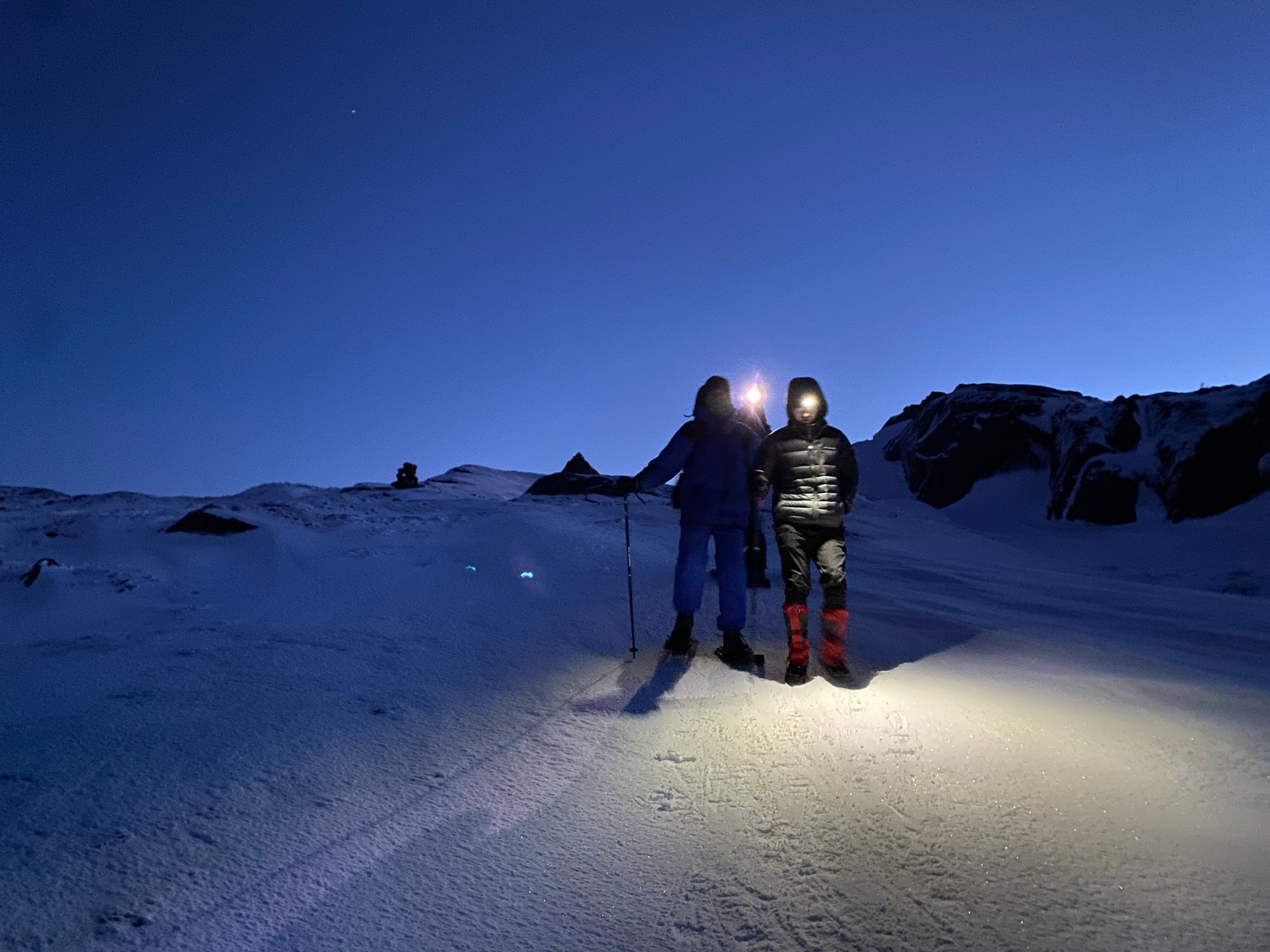
We slowly but surely made it to the lake, where we turned off our lights to admire the most stunning night sky I’d ever seen. We were hundreds of kilometres away from any major light pollution and the Milky Way shone across the heavens.
Back at the station, the hitchhikers were happy to see us and very happy to see the food we’d brought. To our horror, some of the ranch chips had somehow made their way into the car, so we left them there. We all gathered in one of the cosy cabins we’d rented, where we enjoyed a delicious pasta dinner with R.’s hot sauce (fun fact: pasta cooked in water > pasta cooked in pasta sauce). After a week in tents we all appreciated the hot showers and warm stove. Good times.
March 8, 2024: Mont Provencher
Six of us (myself, D., E., J., R., and Z.) went to hike to Mont Provencher, a majestic snow-covered peak visible from the highway. There are a couple routes and most websites don’t agree on the exact distance: I’ve seen round trip distances from 16km to 20km quoted. Our GPS showed 17.88km (round-trip), although we took a few unconventional detours, and you would need to add about 2km each way if walking directly from the station.
The Provencher trailhead is a parking lot on the side of the highway about 1km south of the Station Uapishka turnoff. There are two main trails: a winter route that follows the Ruisseau Provencher through a canyon, and a summer route that climbs up a ridge and bypasses the canyon. Confusingly, two trails head east from the Provencher parking lot, but the summer trail is not one of them. We took the northern trail, which leads to a campsite and wasn’t broken out past that, turned around, and took another trail marked as “Cul-de-sac” which was actually the winter trail. (The summer trail is accessed by heading south along the highway, crossing the creek. It’s very well-marked from there).
We followed the winter trail to Camp Nomade, a series of cabins serving as the hub for Les Amis des Monts Groulx.
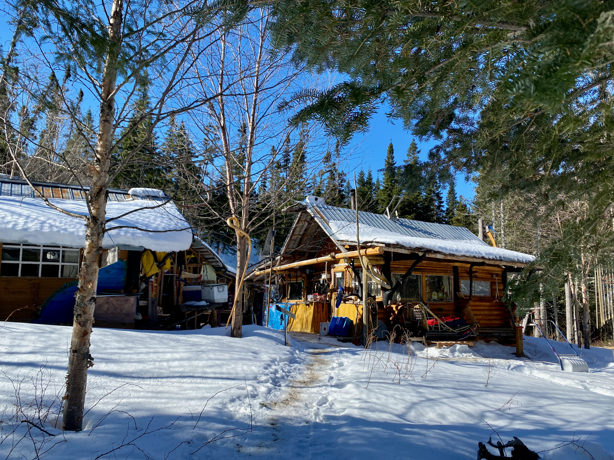
After that the trail follows the creek into a beautiful canyon with steep walls. There were plenty of frozen waterfalls, icicles, and seething pools where the creek had started to melt. After about 1km the canyon opens up into a wider valley.
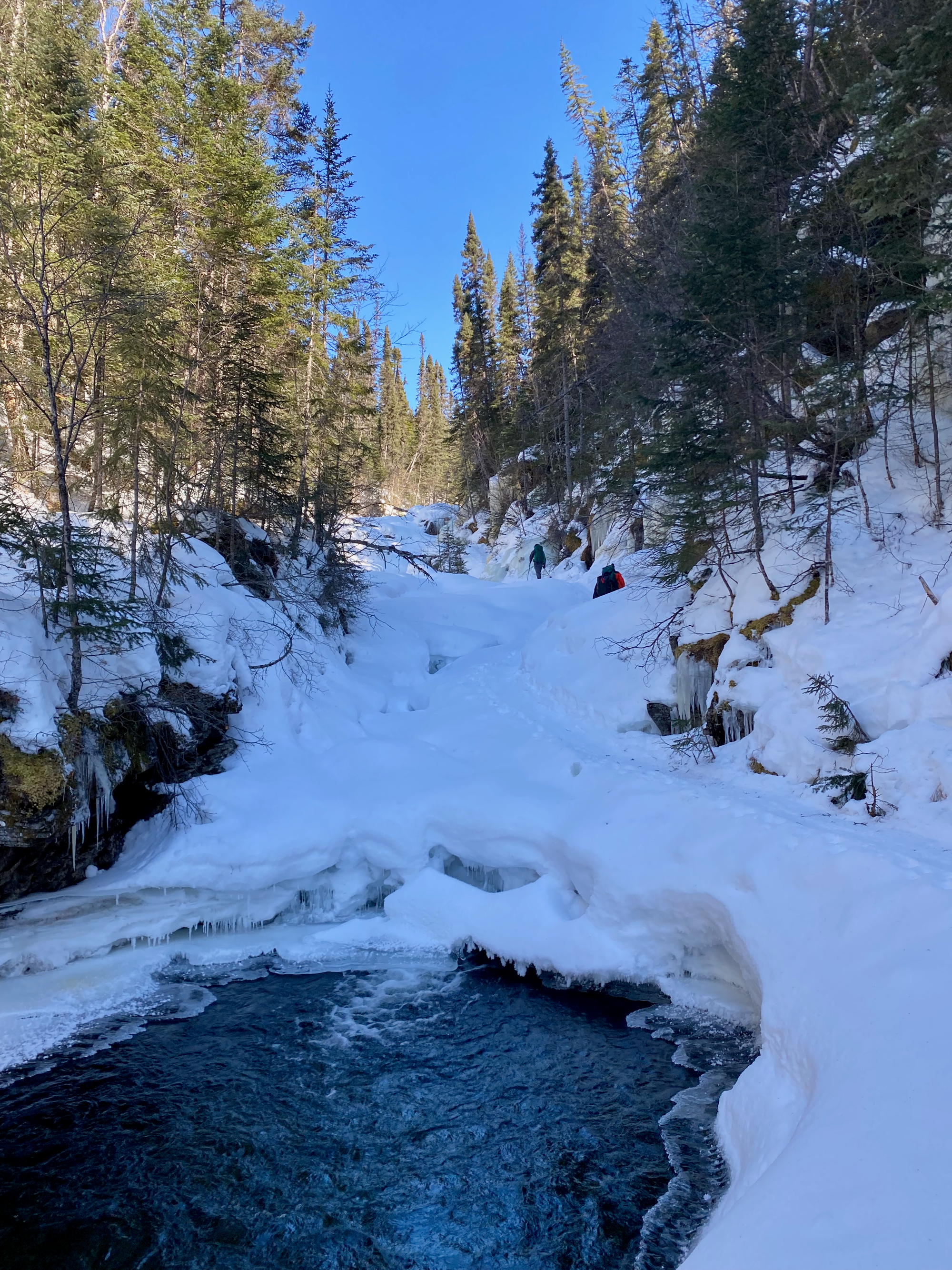
Things were going too well and we hadn’t met our daily bad luck quota yet, so R.’s rented snowshoe broke, and we spent a while trying to fix it. In the process, someone fell into a posthole and had to be rescued. R.’s snowshoe held up for a little while longer, but his hiking pole decided it was its time to shine and promptly snapped.
The trail curves southwest. Our paper map was showing a connector trail between the winter and summer routes, but it’s not shown on most online routes, so we weren’t sure if it would be broken out (the ‘official’ winter route continues up the creek and ends up nowhere near the summit). At a flat area that would probably be marshy in the summer, we spent some time looking for routes up, but the connector trail turned out to be broken, making things much easier. After a short steep slog, we rejoined the summer route at Lac du Castor, and walked east through a gully.
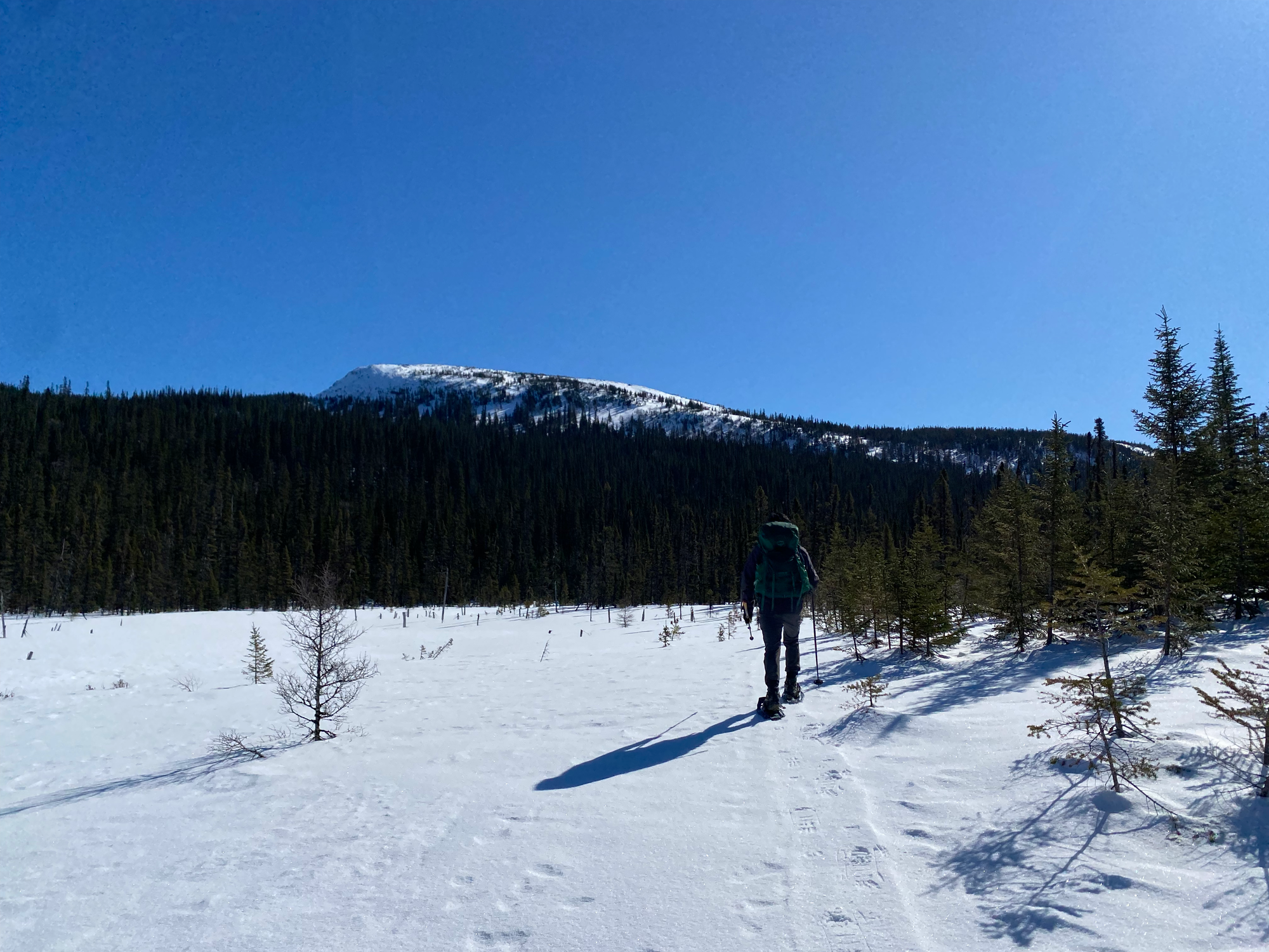
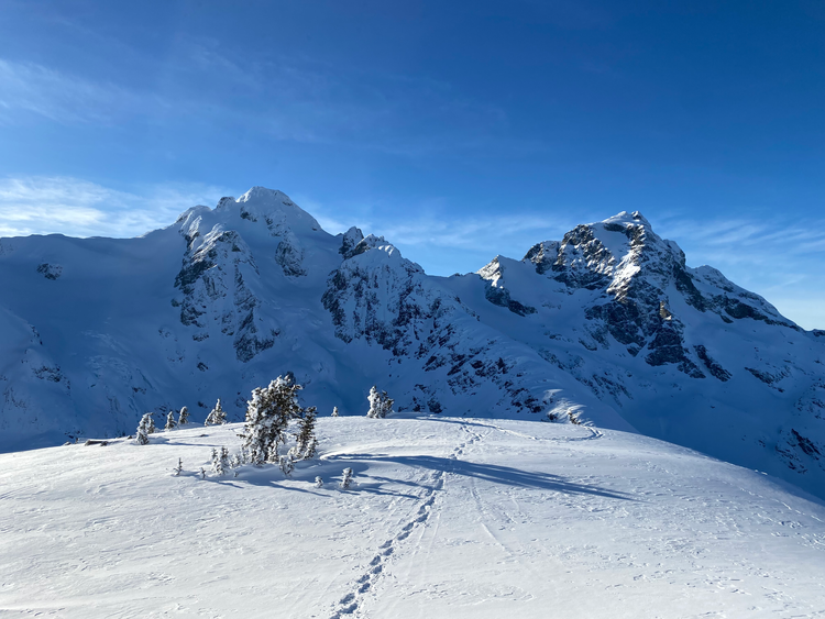
The normal summer route climbs to the ridge pretty quickly. Whoever had broken the trail decided to stay in the gully for a bit longer, so we followed those tracks. Even in the valley we started to get some good views of the surrounding mountains. Eventually we climbed to the ridge, where we were greeted by excellent views on this bluebird day.
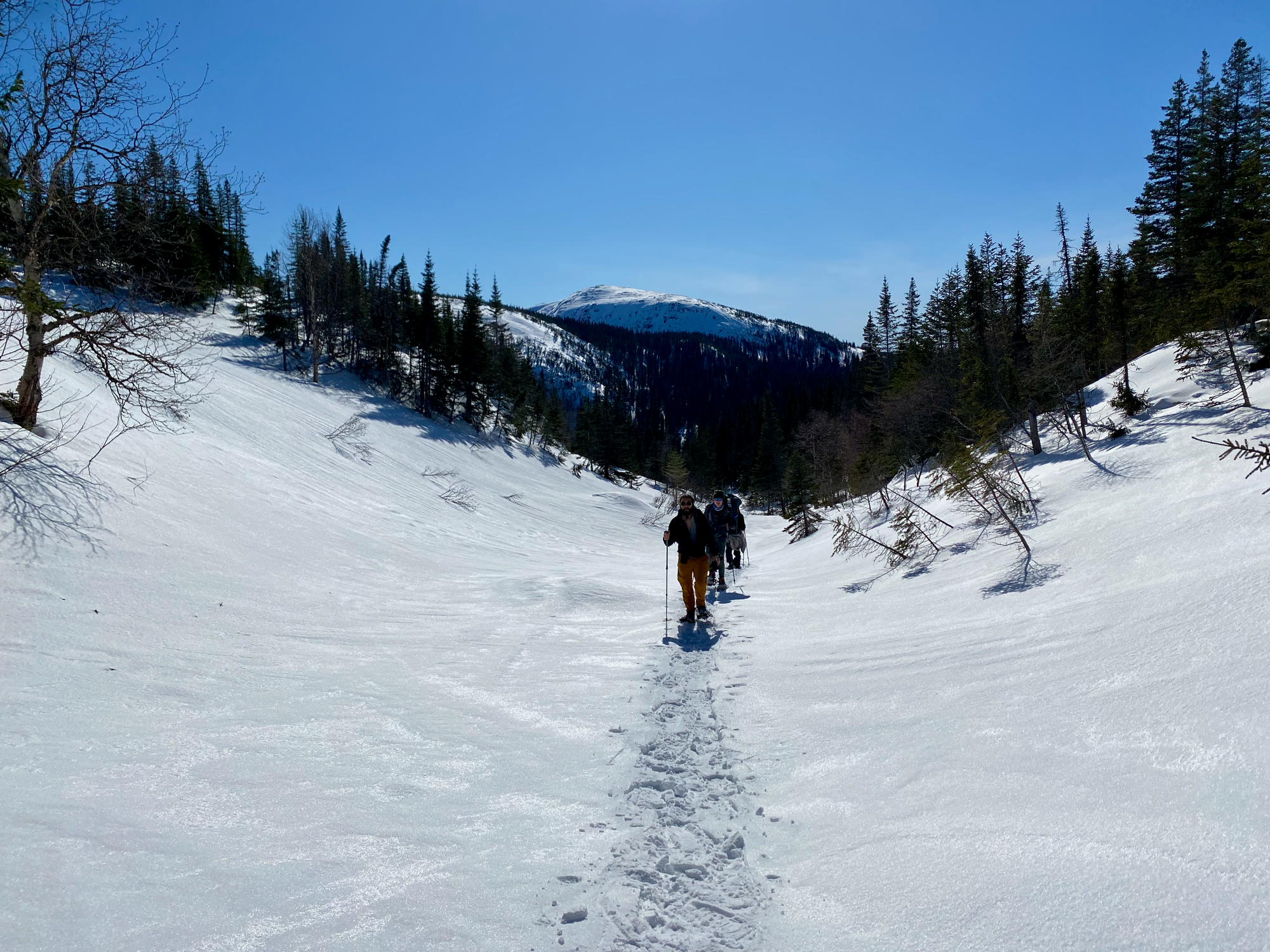
As the easterners in the group discovered the joys of being above treeline, a problem became apparent. Someone had forgotten sunglasses and was in danger of going snow-blind. The solution: musical sunglasses. One person would wear a buff over their eyes and be led around by others. Once their eyes started hurting, we’d give them someone else’s sunglasses, pass the buff around, and repeat.
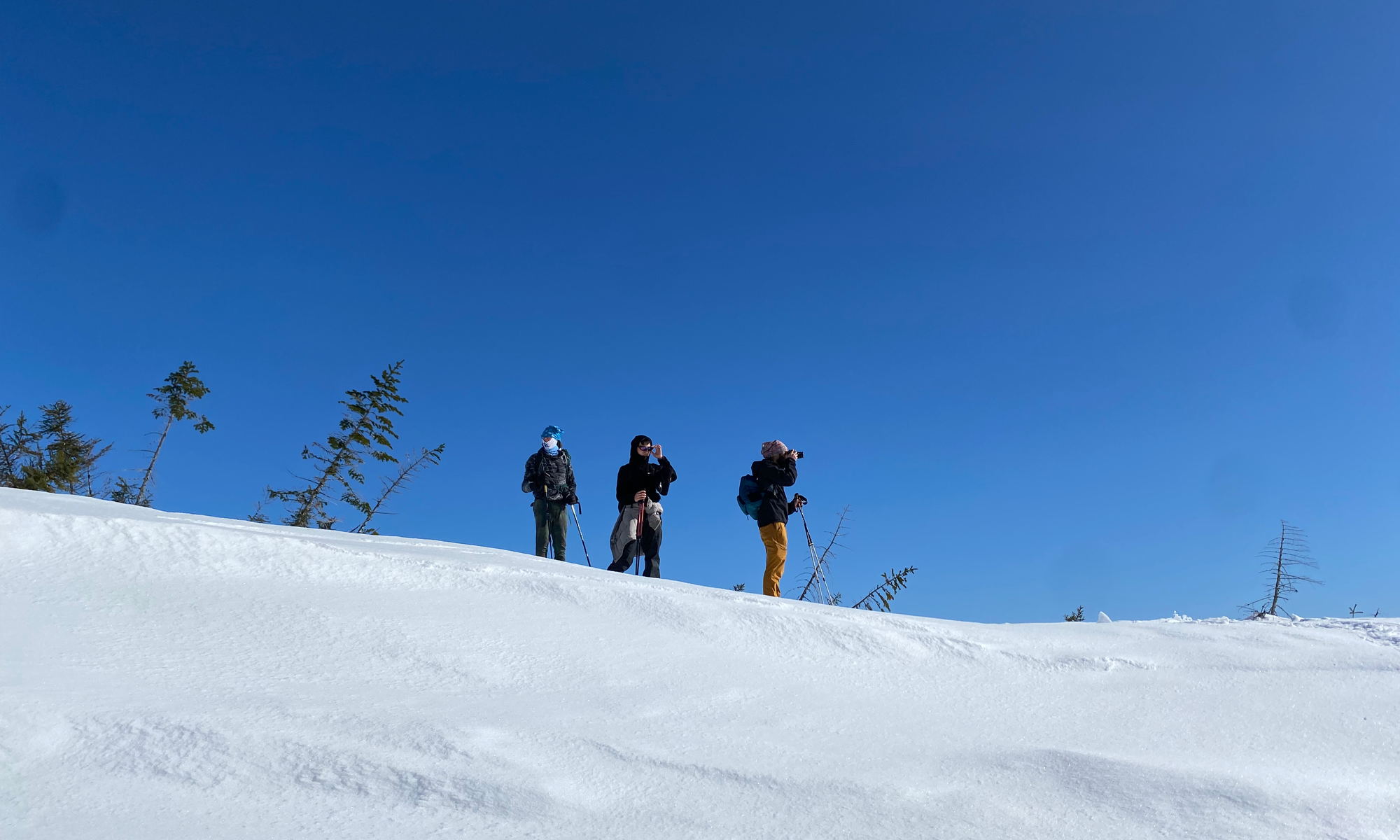
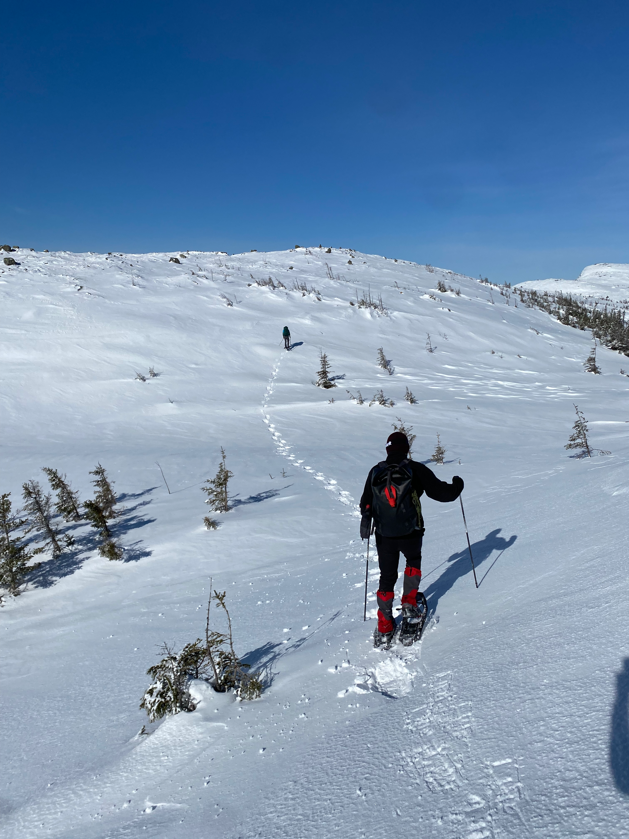
The route is marked by cairns as it follows the ridge, ascending and descending several minor bumps. At this point we realized we’d need to pick up the pace to make it back to the car before dark. E., who has lots of hiking and scrambling experience in the Rockies, and I broke trail at the front of the pack. Adrenaline and stoke levels were high as we descended into a small hollow just before the final push up a steep slope.
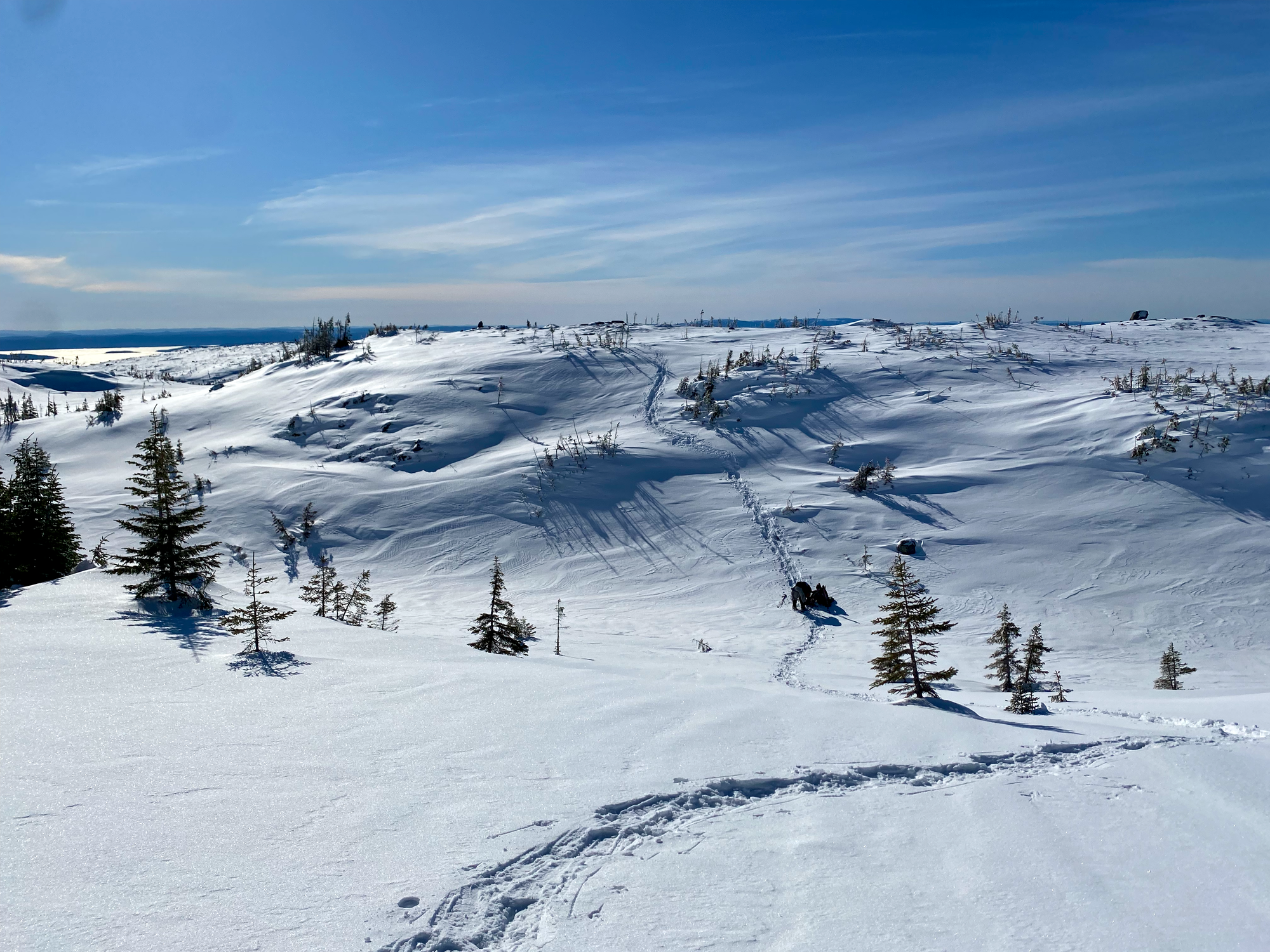
R. fell into the valley, and his snowshoe finally broke for good. "I think something doesn't want me on top of that mountain", he said. The snowshoe could not be fixed, so I put my spikes on and threw my snowshoes down to him. They landed a few metres away and D. went to retrieve them. With that sorted out, we all pushed ourselves up the steep slope to get to the peak. Somewhere in there Z. decided to bypass our tracks and send himself up an even steeper and icier slope.
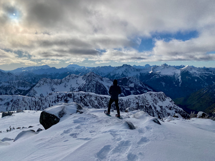
Eventually all of us made it to the north summit, which is also a broad plateau with excellent views (although I think the steep area has a better angle on the surrounding hills and ridges). We rested, had some snacks, and took in the view.
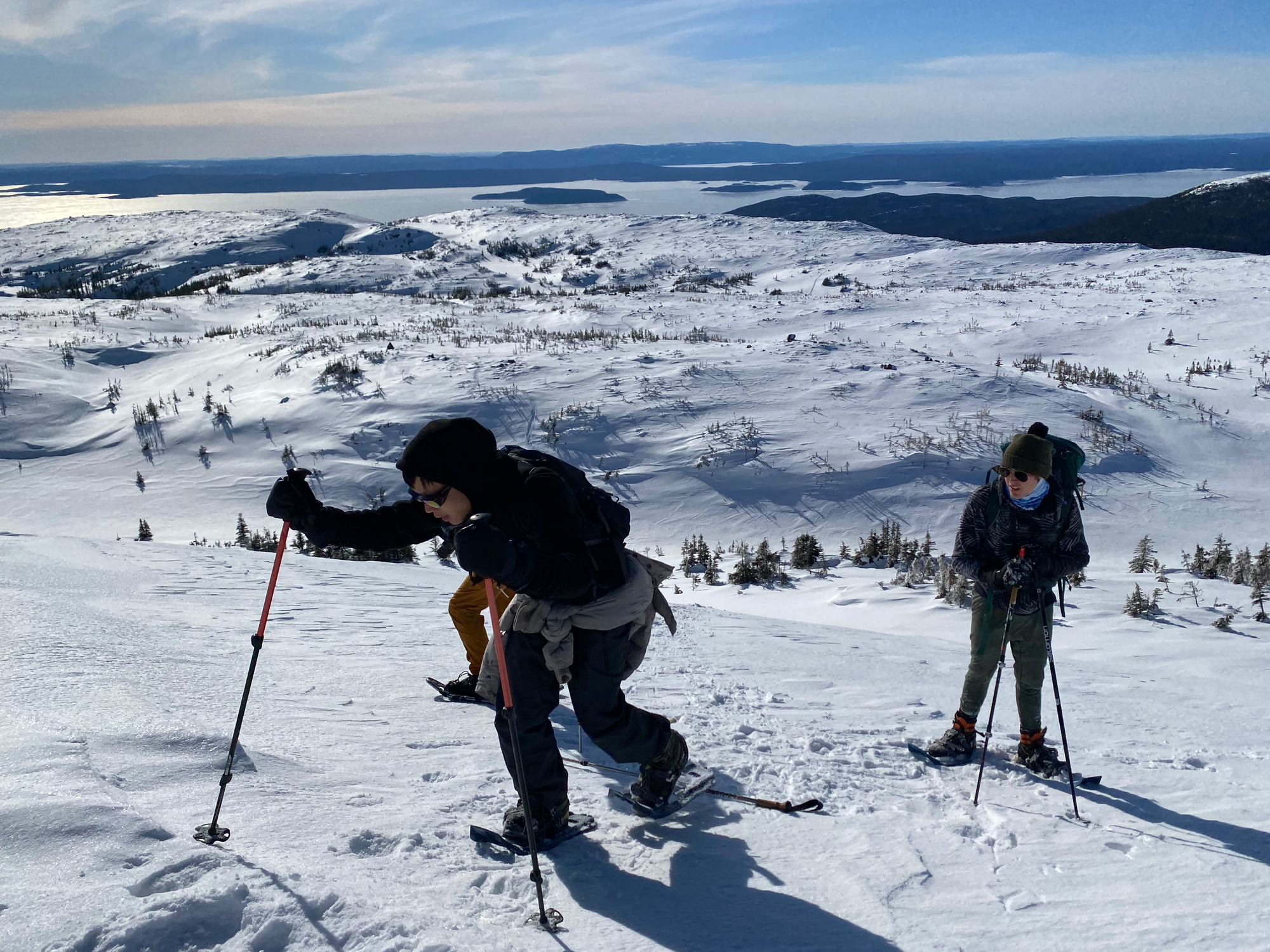
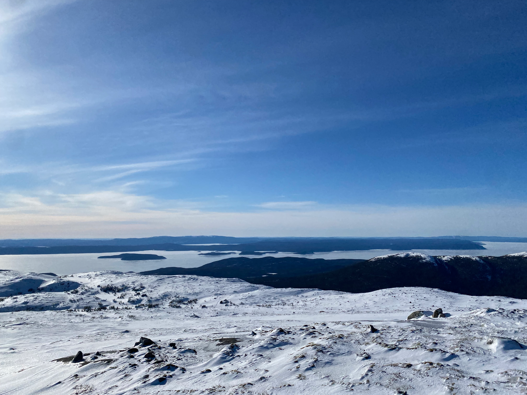
A note to peakbaggers: all maps and guides say that the north summit (accessed by the cairned route) is the highpoint of Mont Provencher, but a note on Peakbagger.com says that one group’s GPS suggested that the south summit was slightly higher. They looked about the same to me, but there is a cairn on the south summit. Google Maps also shows “Sommet du Mont Provencher” at a random spot on the ridge to the SW, and “Mont Provencher” at a point slightly below the north summit, while Gaia shows “Massif Provencher” at another random spot on the bench to the NW of the north summit. It’s clear that either the north summit or the south summit is the highpoint.
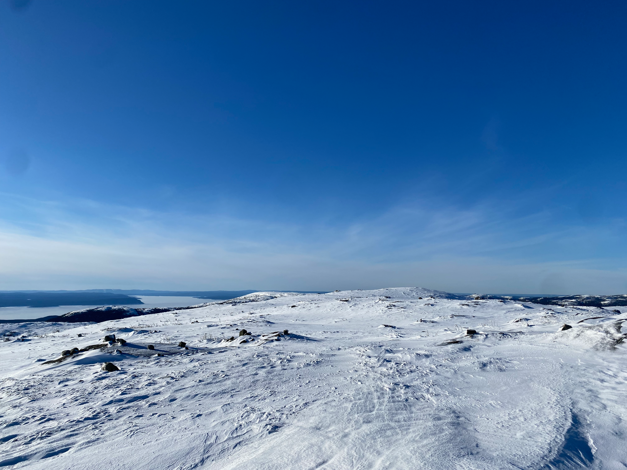
I put my snowshoes back on, quickly went over to the south summit - a gentle 600m stroll - then searched for a better route down. A system of ramps and ledges led down to the hollow to the west of the summits. The other hikers joined me and the descent went OK, except for one spectacular wipe-out on my part.
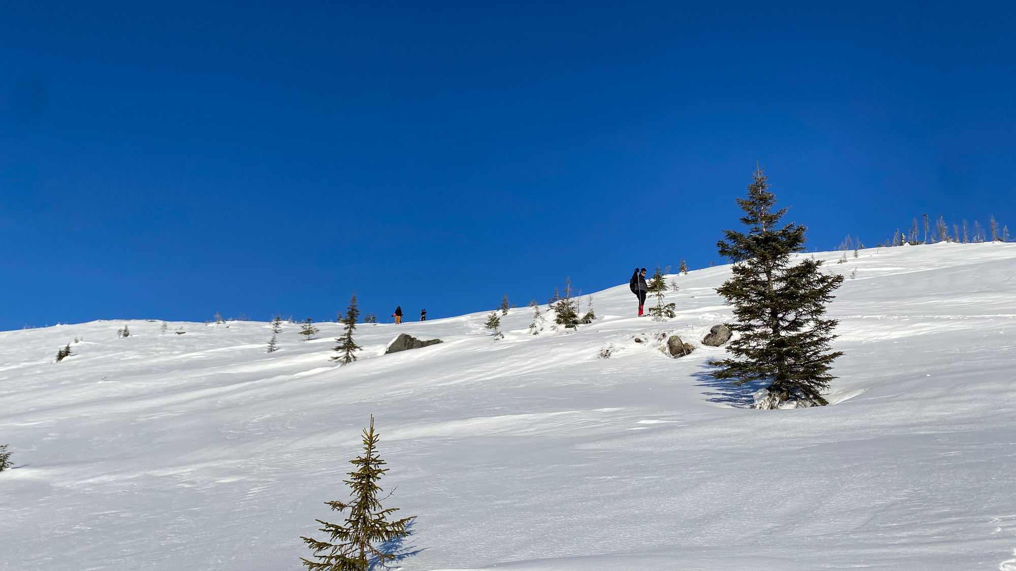
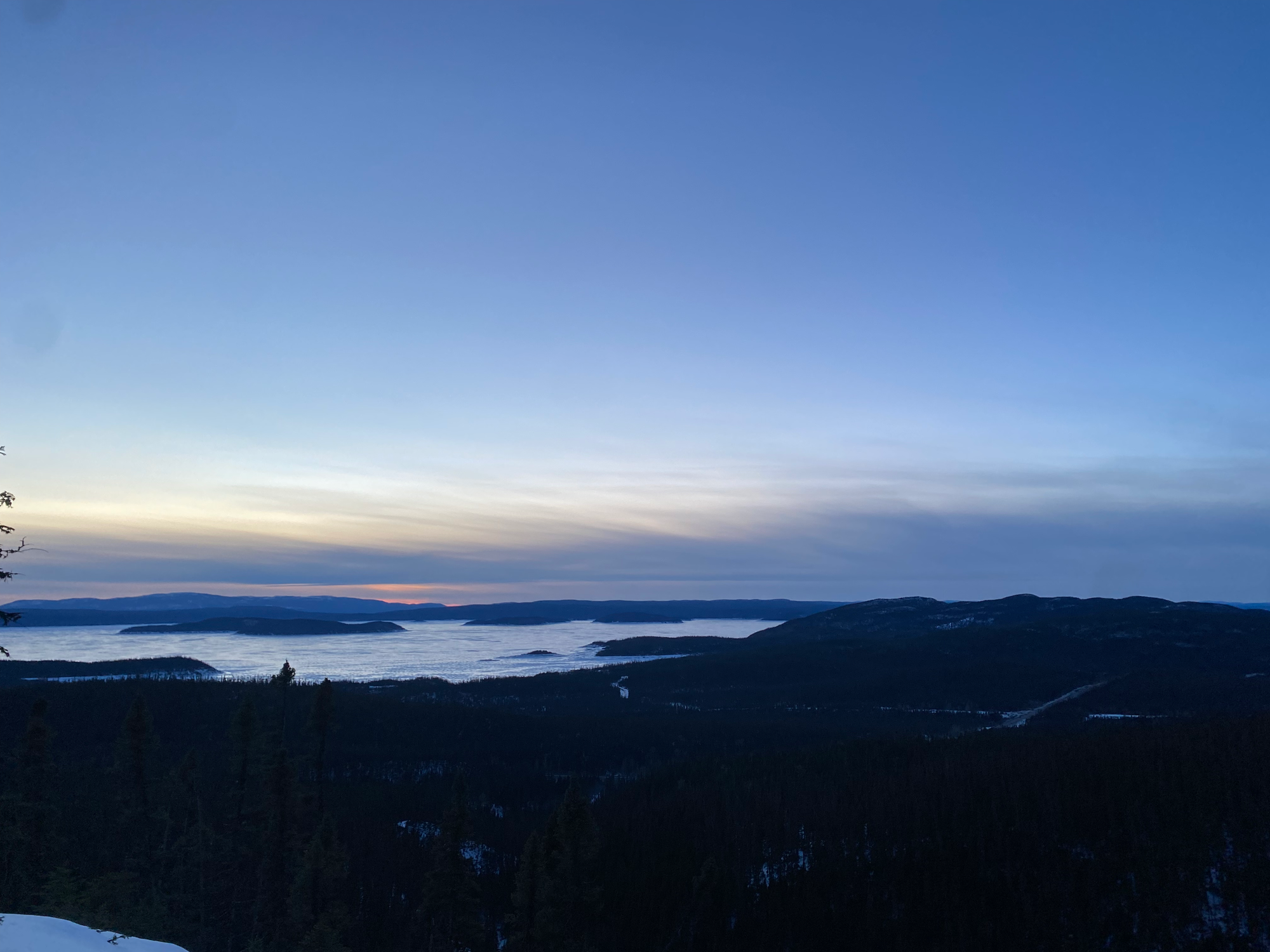
We climbed up the edge of the hollow to a plateau, which we traversed to the gully we’d hiked on the way up. As we left the plateau, we encountered tracks left by some skiers who’d done the full traverse a couple days earlier, making things easier. Once we reached the gully, the descent was fast and uneventful. R. was in danger of catching frostbite for the second time on this trip, so we switched spikes and snowshoes and I rediscovered the joys of constant postholing. At Lac du Castor, we headed down the summer trail, descending a ridge and pausing at a viewpoint where we watched the sunset. The trail was extremely well marked and we’re very grateful to the volunteers who built it.
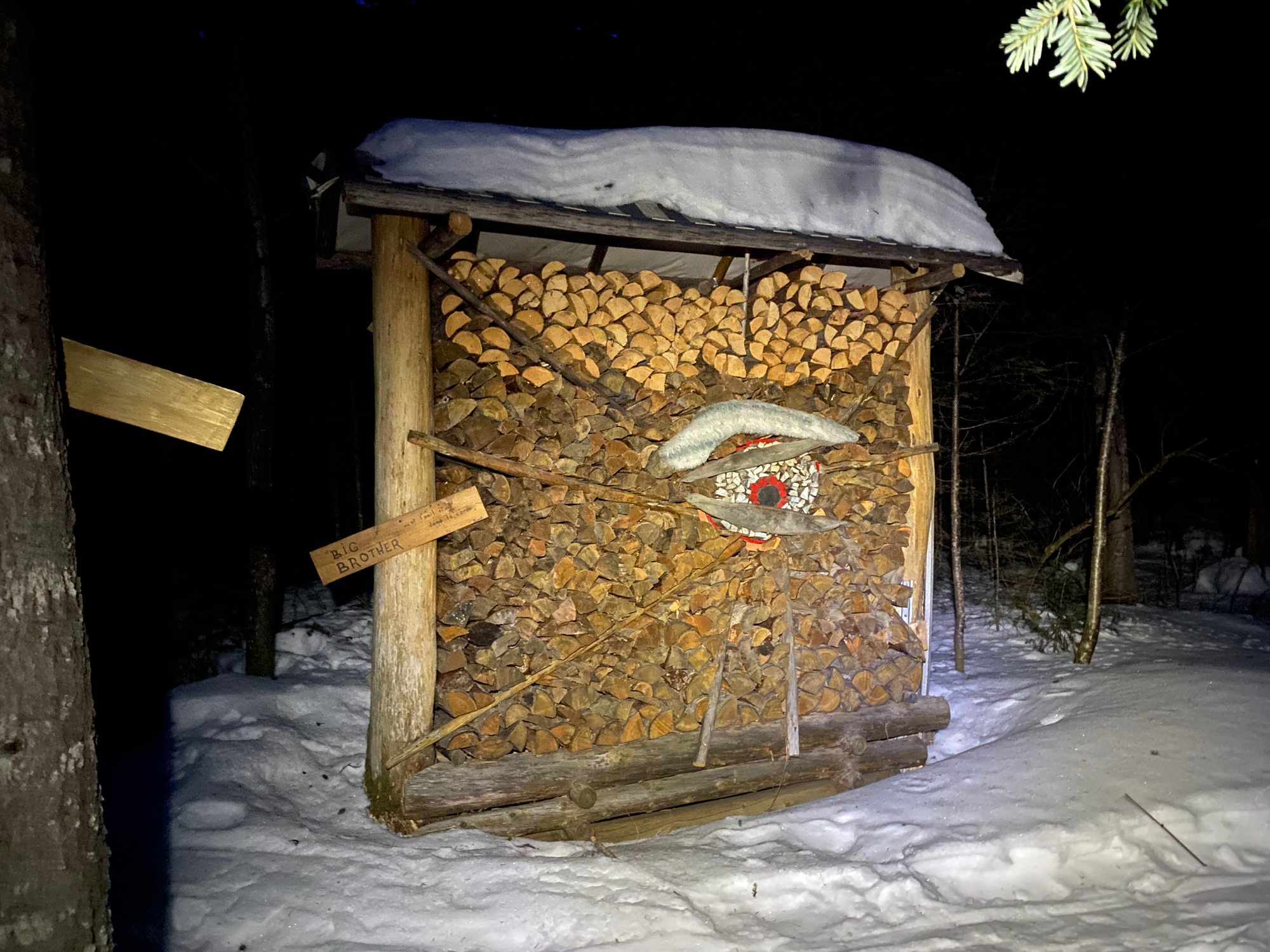
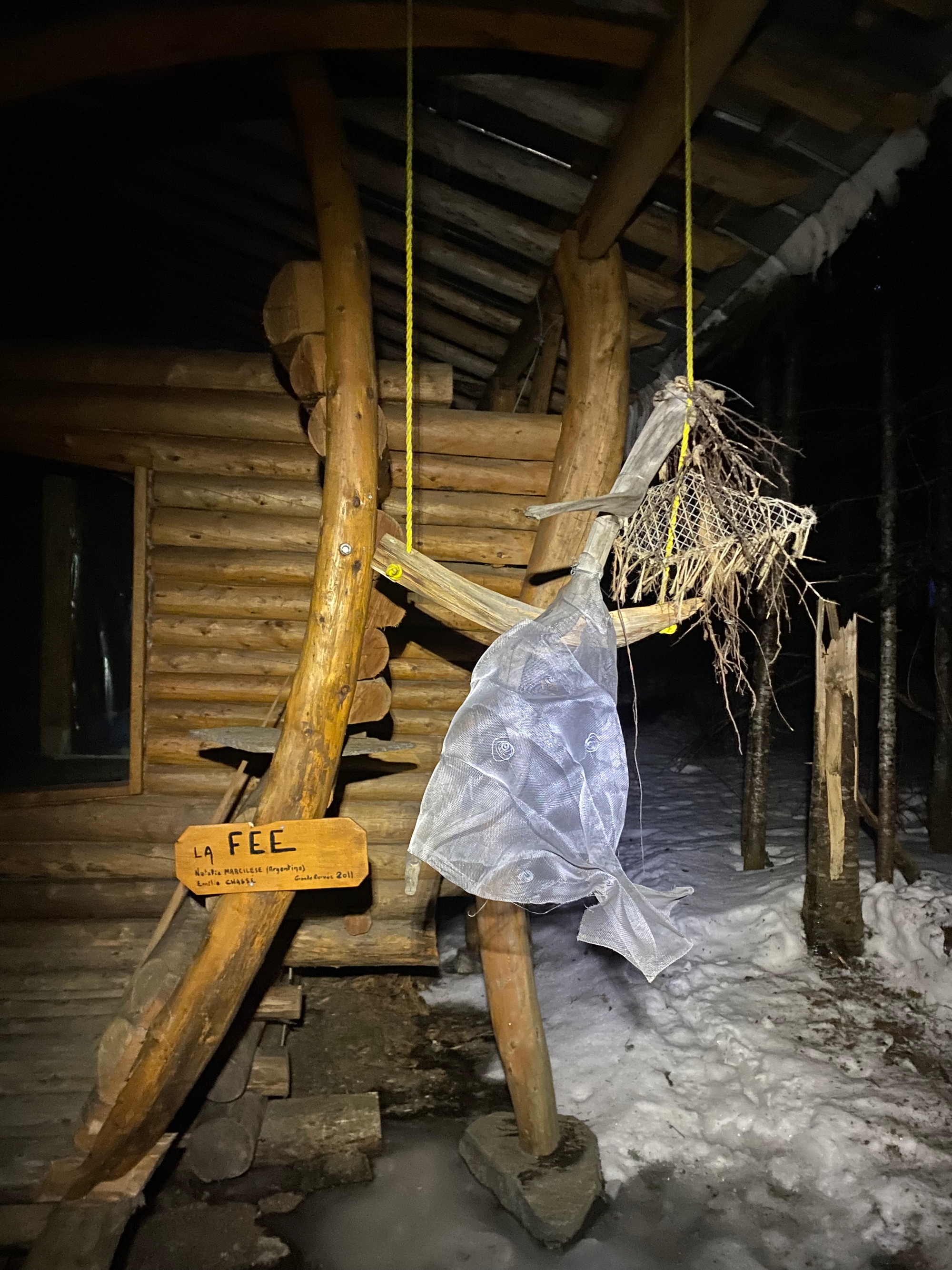
Near the trailhead, we passed some whimsical art installations at Camp Nomade, accidentally startling someone living there. After admiring the art we soon emerged at the trailhead, running into W. and C. who had hiked some of the winter trail after we left. Back to the station.
(While we were hiking, Y. and M. walked across the lake to Rene-Levasseur Island and back. They returned late at night, and told me that it took them about two hours each way to cross.)
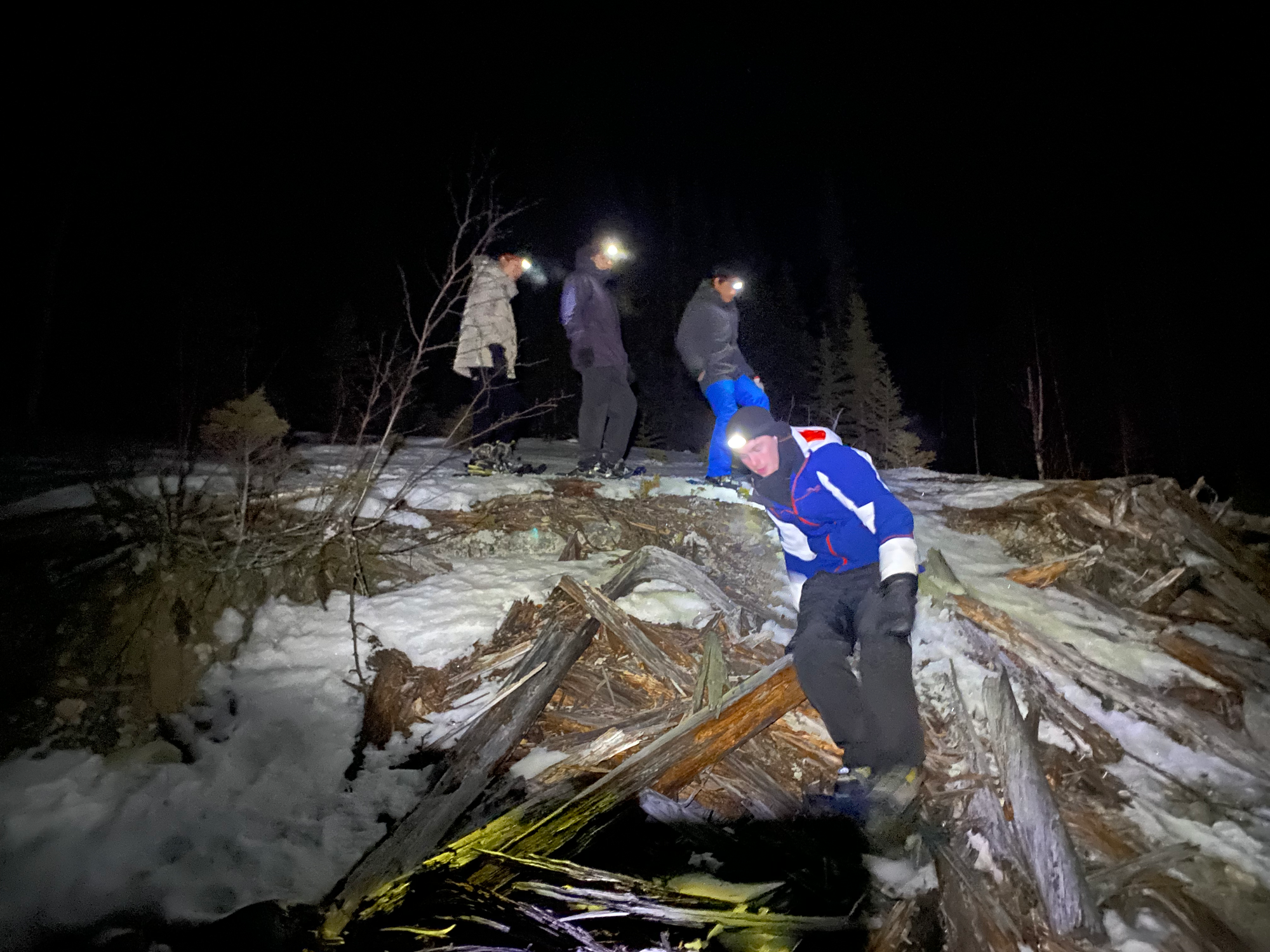
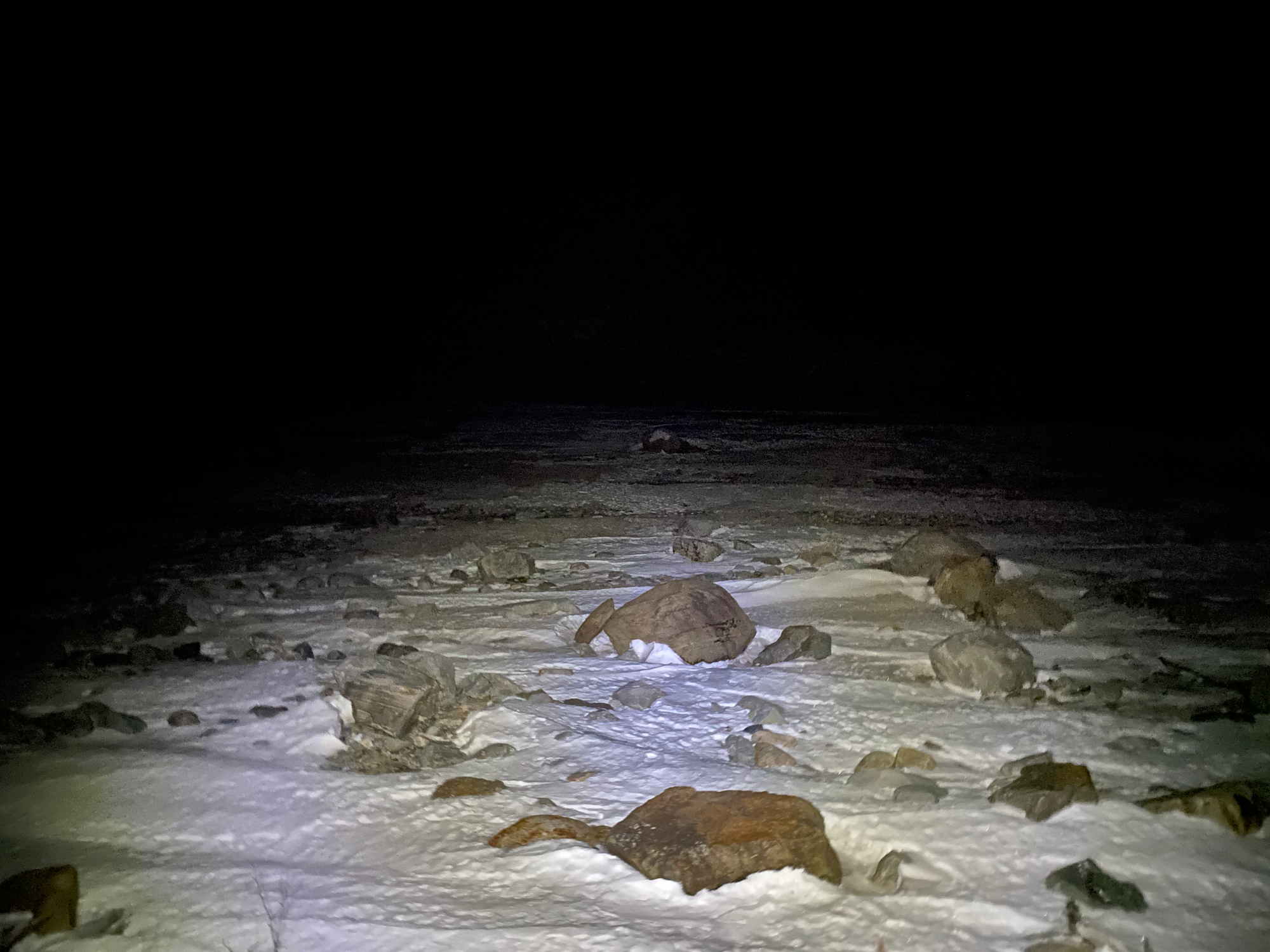
To wrap up our time at Station Uapishka, a few of us explored the lake. There was no defined trail, so we walked into the forest behind our cabin, chose a promising route, and dropped 200m to the lakeshore. Five minutes later we were below the tree line, looking out on a rocky and icy moonscape. The water had been lowered recently, and massive slabs of ice sloped to the new water level. Every few minutes we heard loud booming sounds as ice cracked in the distance. We ventured onto the lake, admired the stars, took a few group photos, then headed back up to safety and the warm fire.
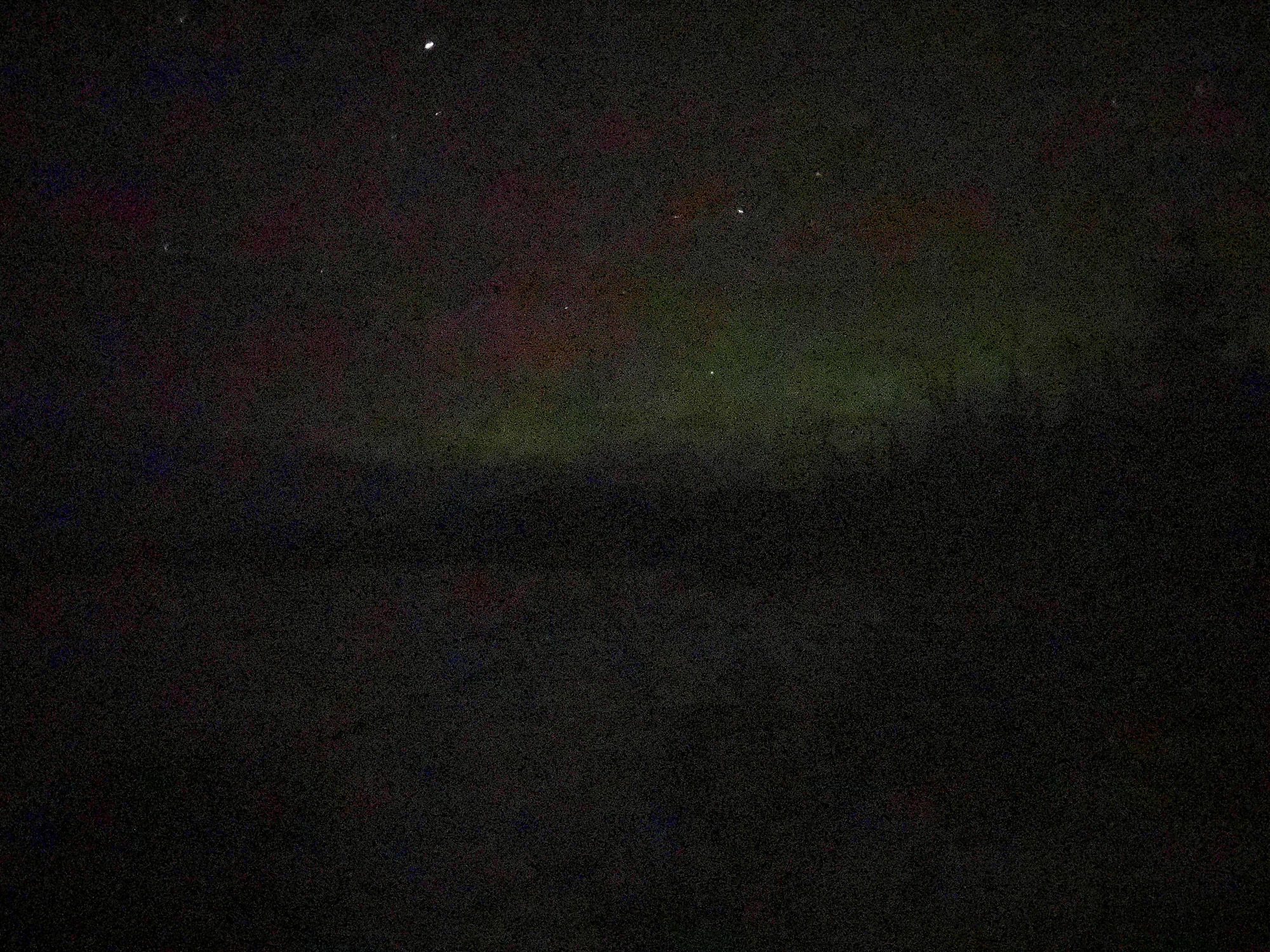
March 9, 2024: Uapishka -> Baie-Comeau -> La Malbaie
I woke up with a sore throat and a painful cough. As my alarm went off, I dragged myself out of bed and nibbled on some leftovers for breakfast. Most of us cleaned up the cabins as we prepared to leave. D. knew a guy who owned a motel about halfway to Montreal, and we were all looking forward to a good night’s sleep there. Around 11am we dropped the hitchhikers off at the highway, waited at the station for a while, and drove south. En route we met Y. and M. who had gone for a short morning hike. They had been waiting for a couple hours and hadn’t been picked up yet. Not a good sign.
The drive along the dirt road was as uneventful as before. When we got to the parking lot, we found R. napping on top of the kona. A car had picked him up quickly, but the driver only had room for one person. R. also hadn’t seen any other cars heading south. Just then, M. and Y. let us know via inreach that they’d returned to the station. After some back-and-forth we found out that the other hitchhikers had found a ride at some point, and M. and Y. decided to try one more time.
A few minutes later, a truck pulled up, carrying all the other hitchhikers. We left some food and gear for M. and Y. in the Tesla, finally unloading the dreaded ranch chips. Everyone else packed themselves into the other two cars, and headed south. Somewhere in there R. got his feet wet again and had to find dry socks. (M. and Y. found a ride later that afternoon, camped near Baie-Comeau, and arrived in Montreal very late on the 10th).
The drive was surprisingly nostalgic as we passed Manic-5, our old campsite, and Motel de l’Energie. D.'s stories of his adventures in Mongolia and Pakistan helped pass the time. In four hours we arrived in Baie-Comeau, where we learned that we’d arrive too late to check into D.’s friend’s motel, so that wouldn’t work. One last group discussion ensued: as we shivered in the cars, we found a motel in La Malbaie, a few hours south.
S. and I. blasted some energetic Russian and Turkish music at high volume to keep me awake as we drove towards La Malbaie, with a short delay as we waited for the Tadoussac ferry. The drive was long, but we were looking forward to a quick return to Montreal tomorrow. But that would be too easy. Northern Quebec had one last curveball to throw at us…
Heavy snow began to fall about twenty minutes from the hotel. Within seconds the road was covered. We arrived at La Malbaie around 1:30 a.m., checked into the hotel, and crashed.
March 10, 2024: La Malbaie -> Snowstorm -> Home
We set our alarms for 7, but daylight savings took an hour out of what was already insufficient sleep. Our deadline to arrive in Montreal was noon, when R. had to return his brother’s car.
I looked out of the window. Snow. So much snow.
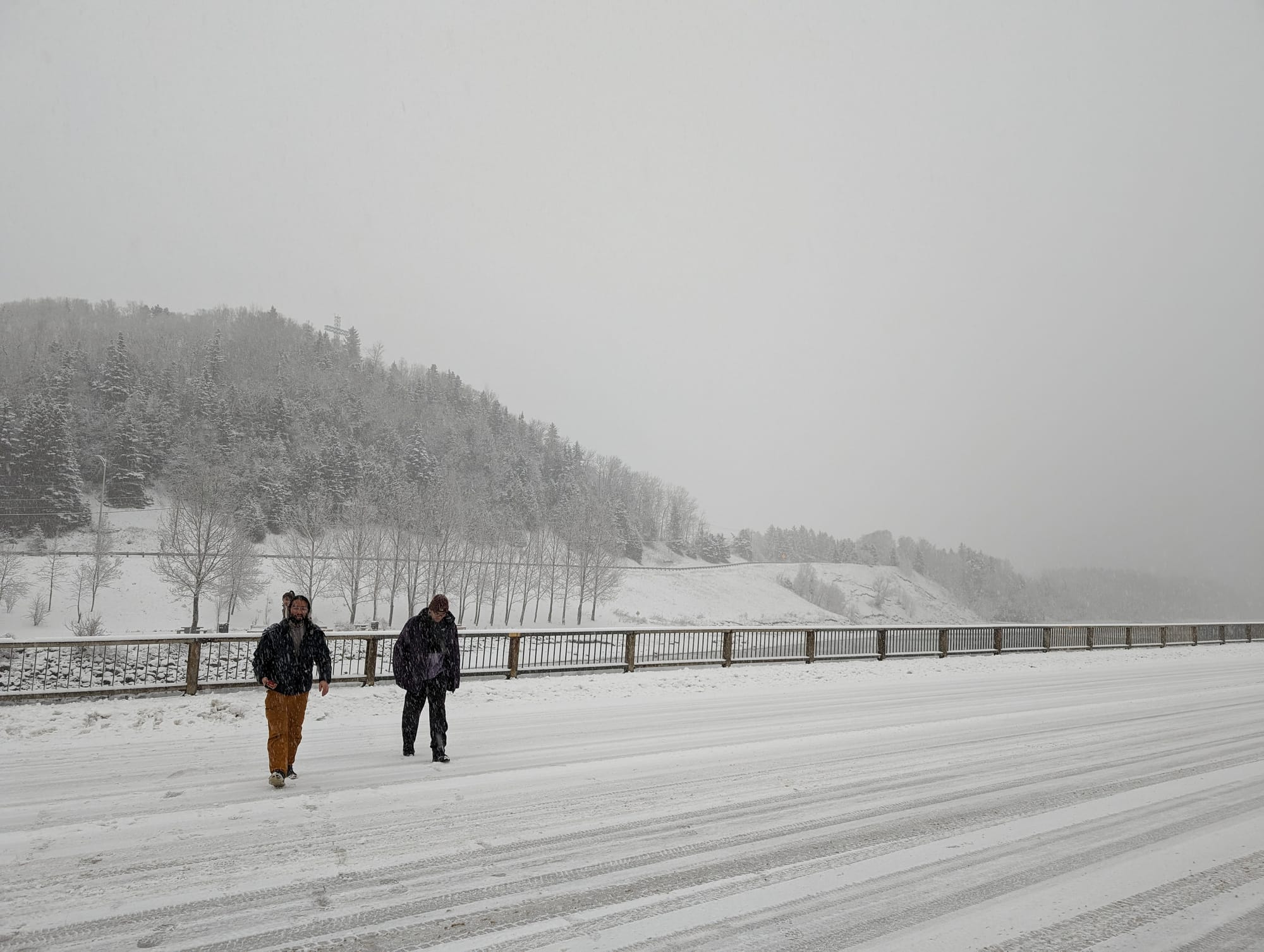
As we drove south the snowstorm worsened and visibility dropped. I drove extremely slowly on the narrow and steep highways, guessing where the lines in the road were.
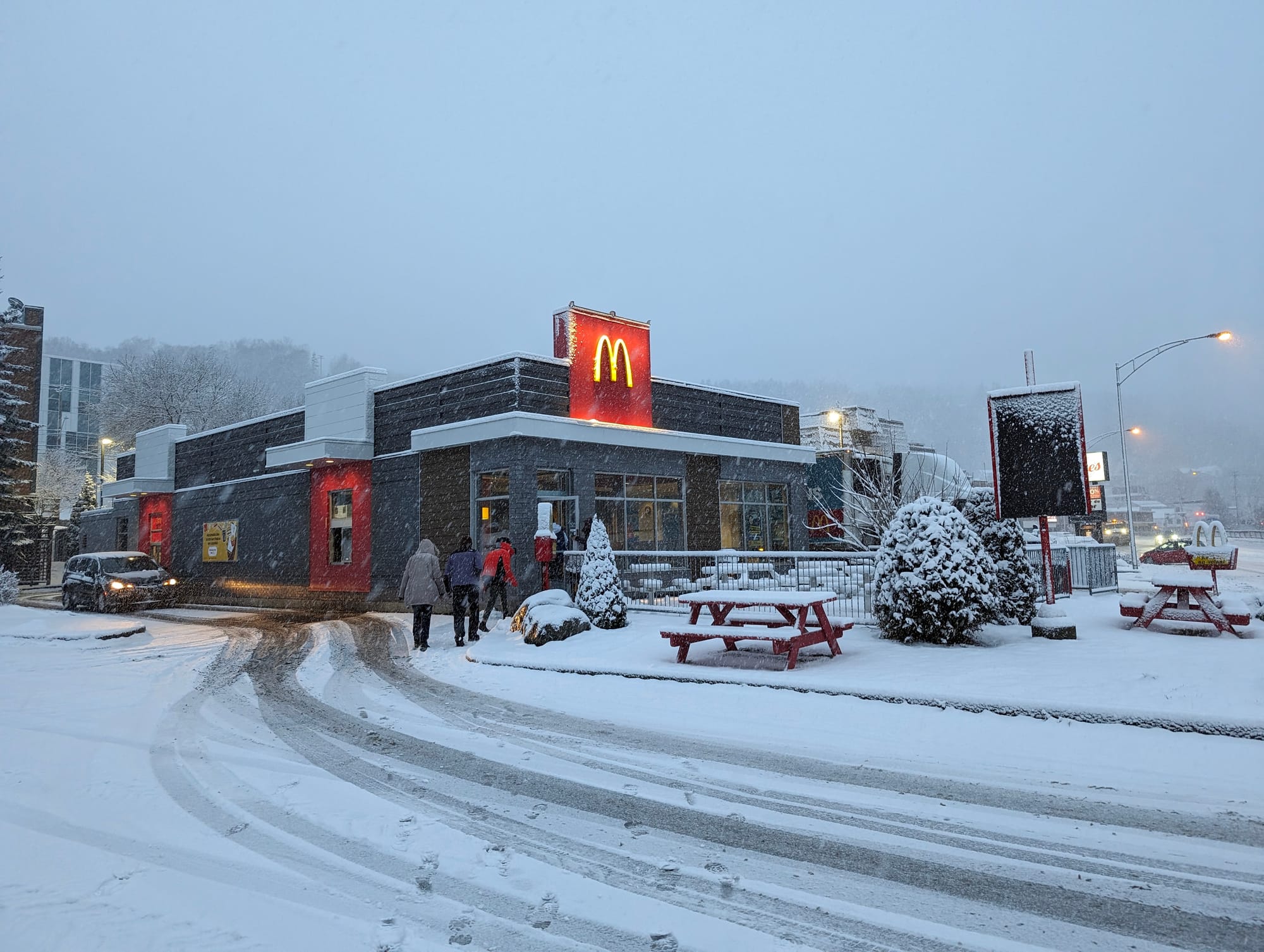
We took a break at a McDonalds and wrote fun reviews of Manic-5. At this point it became obvious that we wouldn’t get to Montreal anytime near noon. Luckily R.'s brother was understanding.
As we approached Quebec City the blizzard was at its worst. Traffic was brutal and every few minutes we passed cars in ditches. Past Quebec City the snowstorm calmed, the snow gave way to pavement, to our relief. After a quick poutine lunch near Drummondville, we arrived in Montreal around 4:30 and said our goodbyes.
What a trip!
Overall, this was an extremely humbling experience and taught me many lessons that I’ll keep in mind for future adventures.
Member discussion