Montagne Noire, Montagne de la Tour
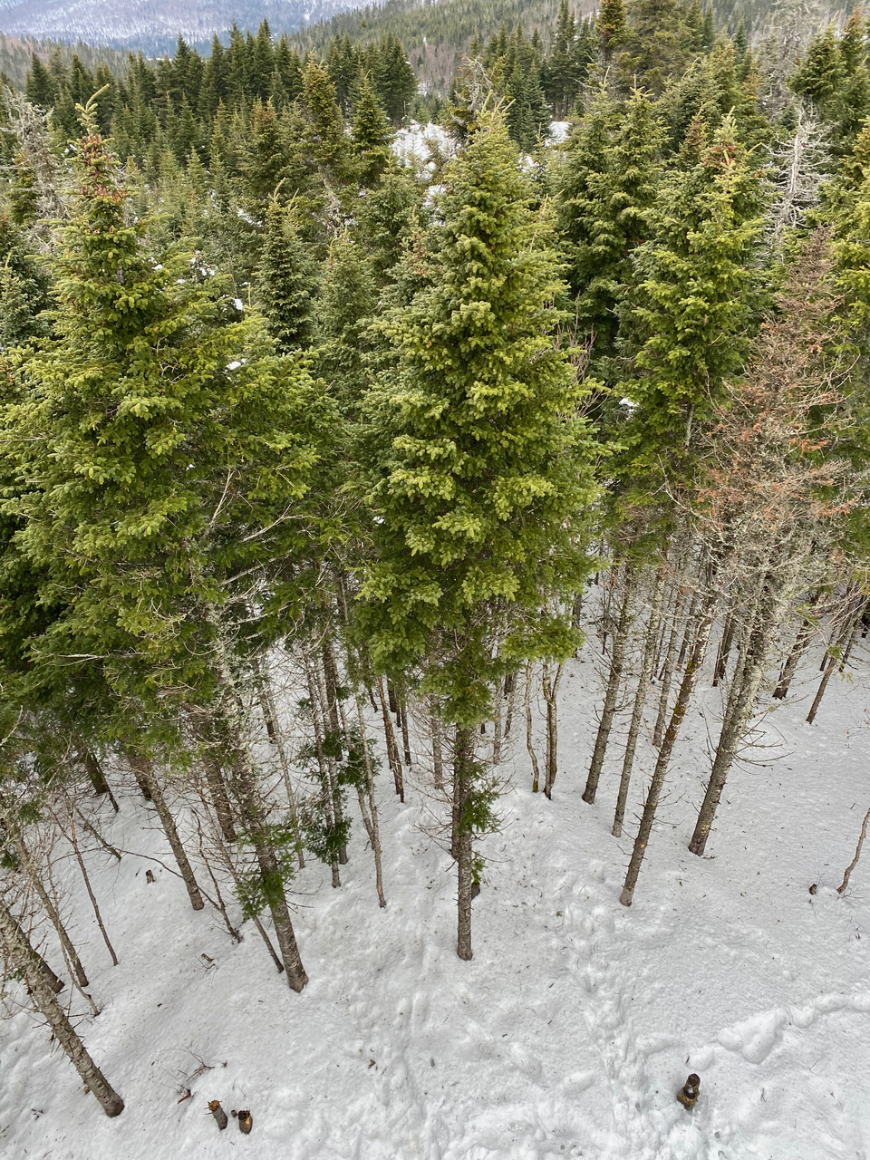
February 10, 2024: Montagne Noire
Distance: 13km
February 11, 2024: Montagne de la Tour
Distance: 3km
Montagne Noire:
Montagne Noire is the second tallest mountain in this part of the Laurentians (behind Mont-Tremblant). The summit has an observation tower with panoramic views. The other attraction of this mountain is the site of a 1943 plane crash. A RCAF flight en route from Gander, Newfoundland to Mont-Joli, Quebec became lost in the fog and struck the side of Montagne Noire. The plane was not located until three years later.
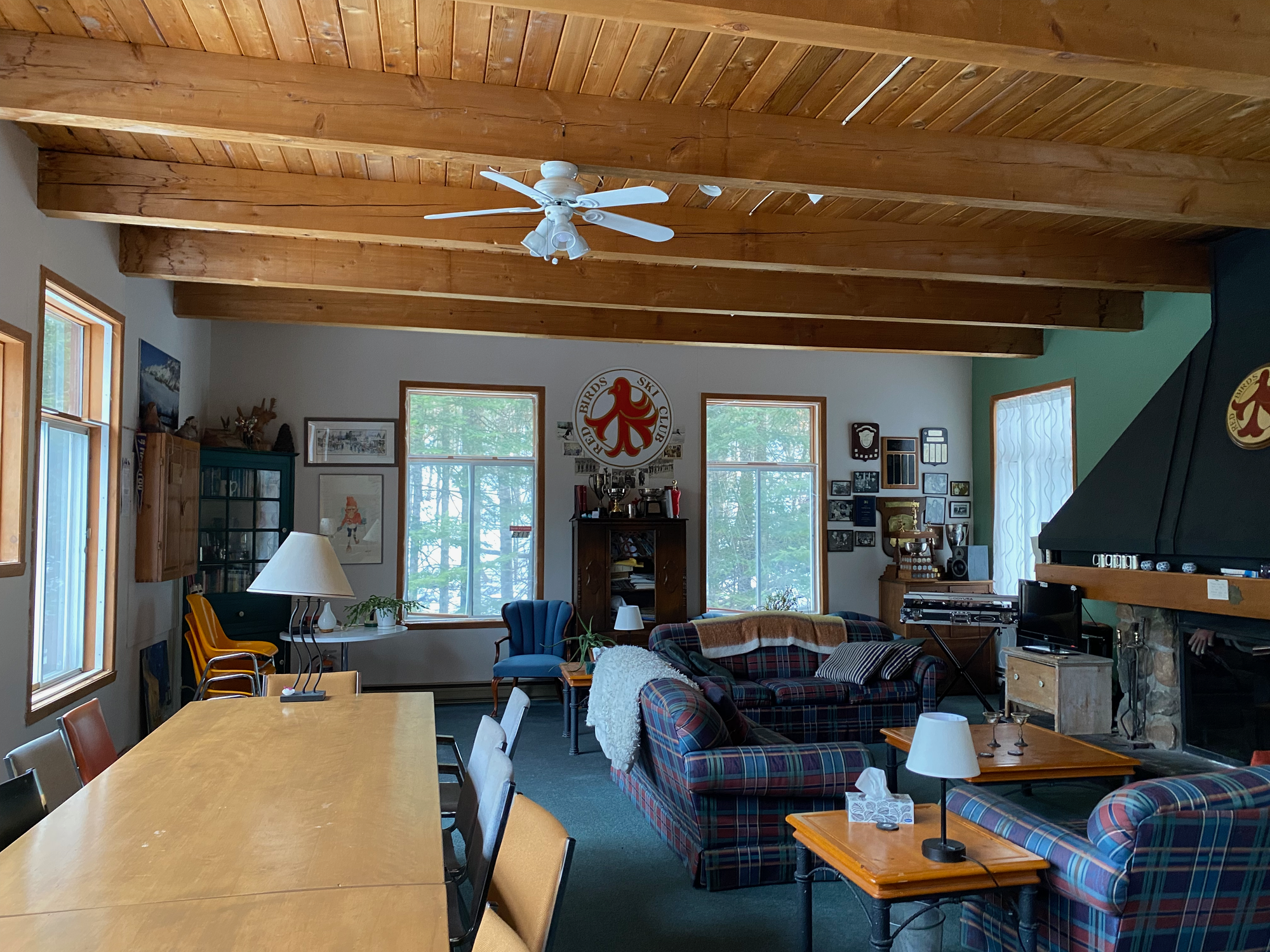
I did this hike with Finn, Isidor, and Kaixiang from the MOC. We stayed at the Red Bird Ski Club house near Mont-Tremblant and spent the weekend hiking. The house is several kilometres north of the town and feels remote. Shelves of a century of ski club memorabilia give the place a historic feel.
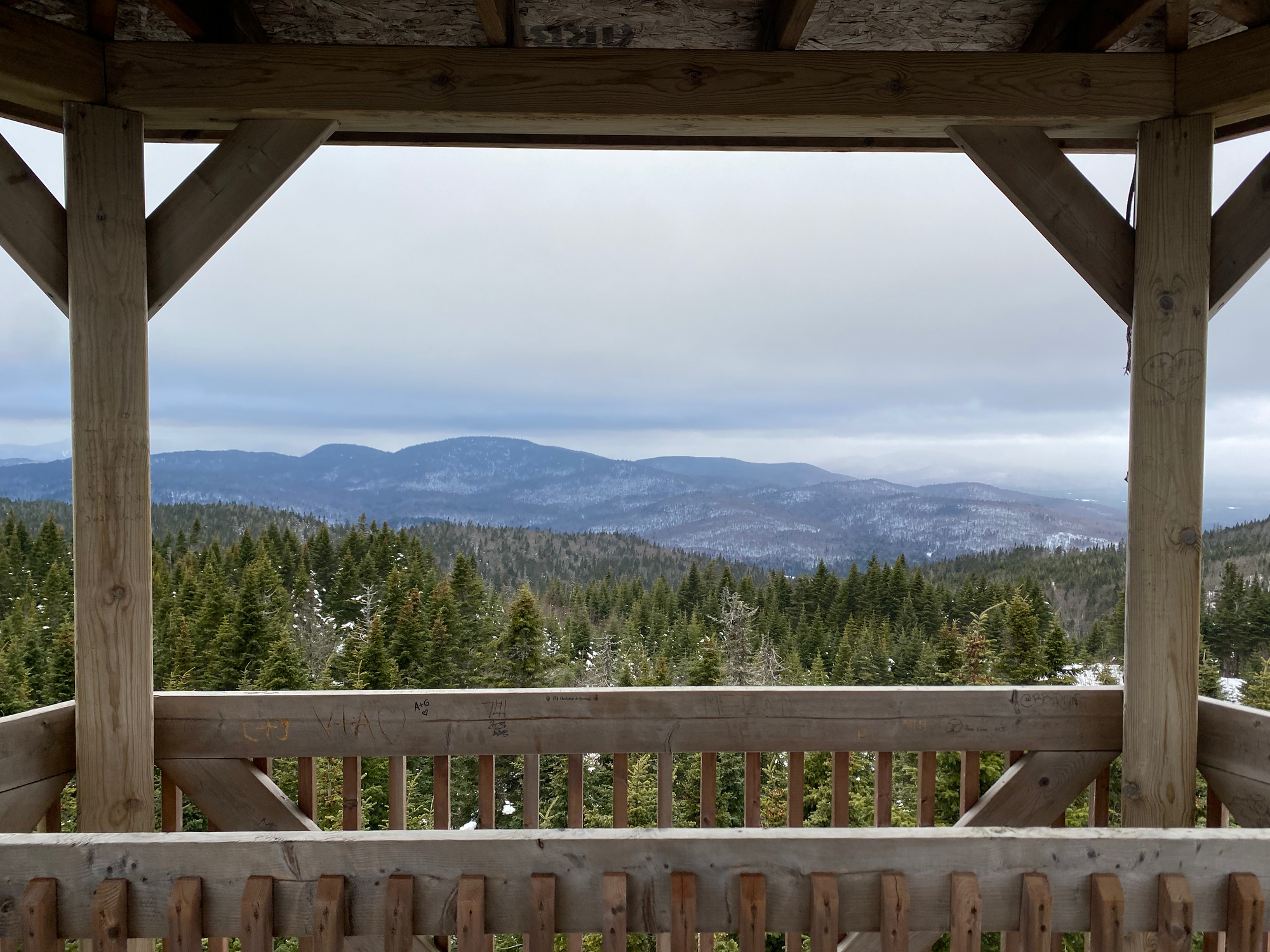
Some development is taking place around Montagne Noire so we parked at the new parking lot, about 300m from Highway 329 along the Chemin Régimbald. A connector trail leads to the main trail. It was unseasonably warm and those of us without snowshoes faced some annoying postholing. From the main trail, several trails lead to the summit; we took the Sentier le Mésangeai, a pleasant walk through the woods. Eventually this connects to the Sentier de la Montagne Noire at Lac Crystal. We reached the summit in about a kilometre and a half from there, climbing the observation tower to enjoy a cloudy but panoramic view of the Laurentians.
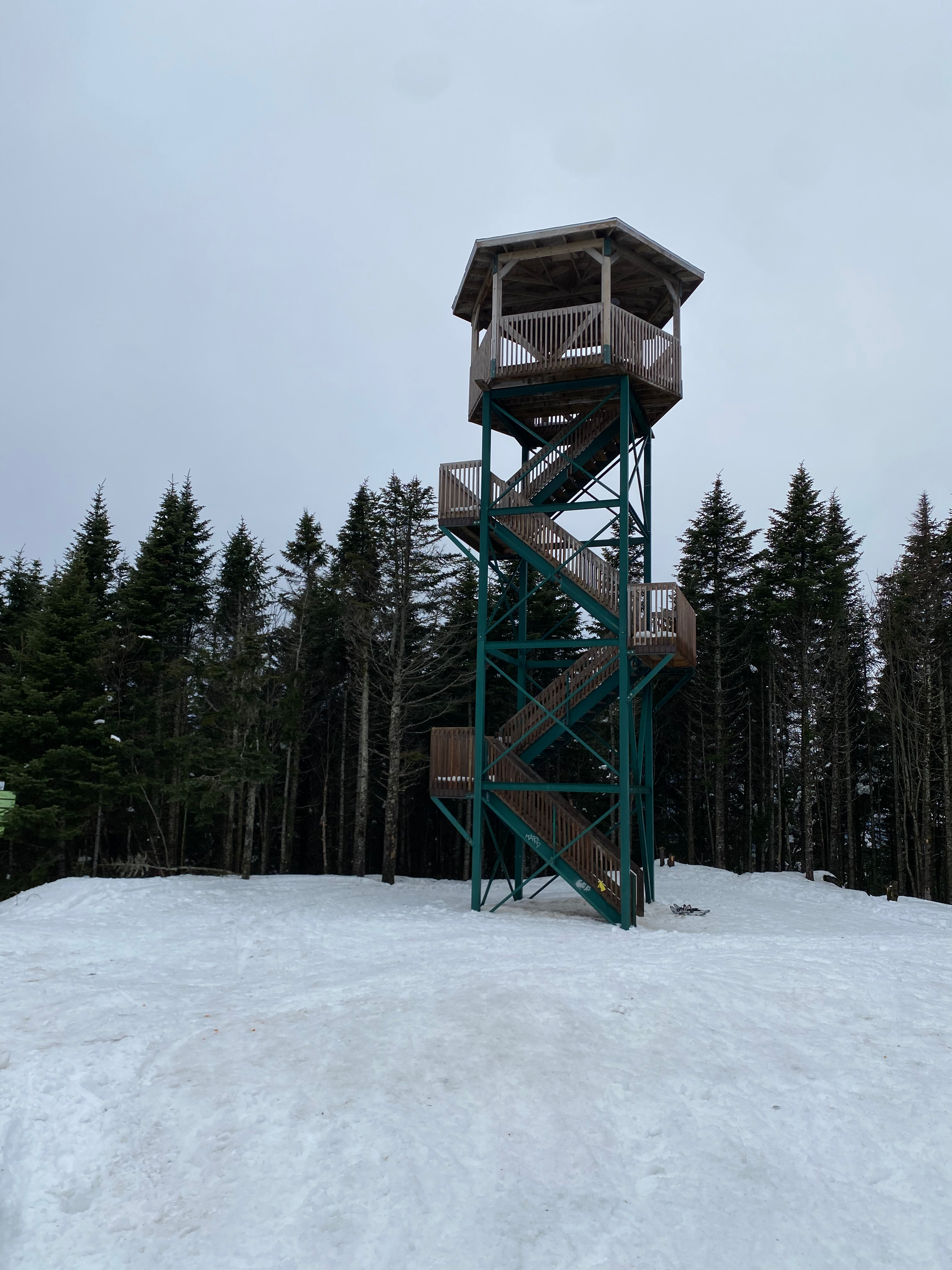
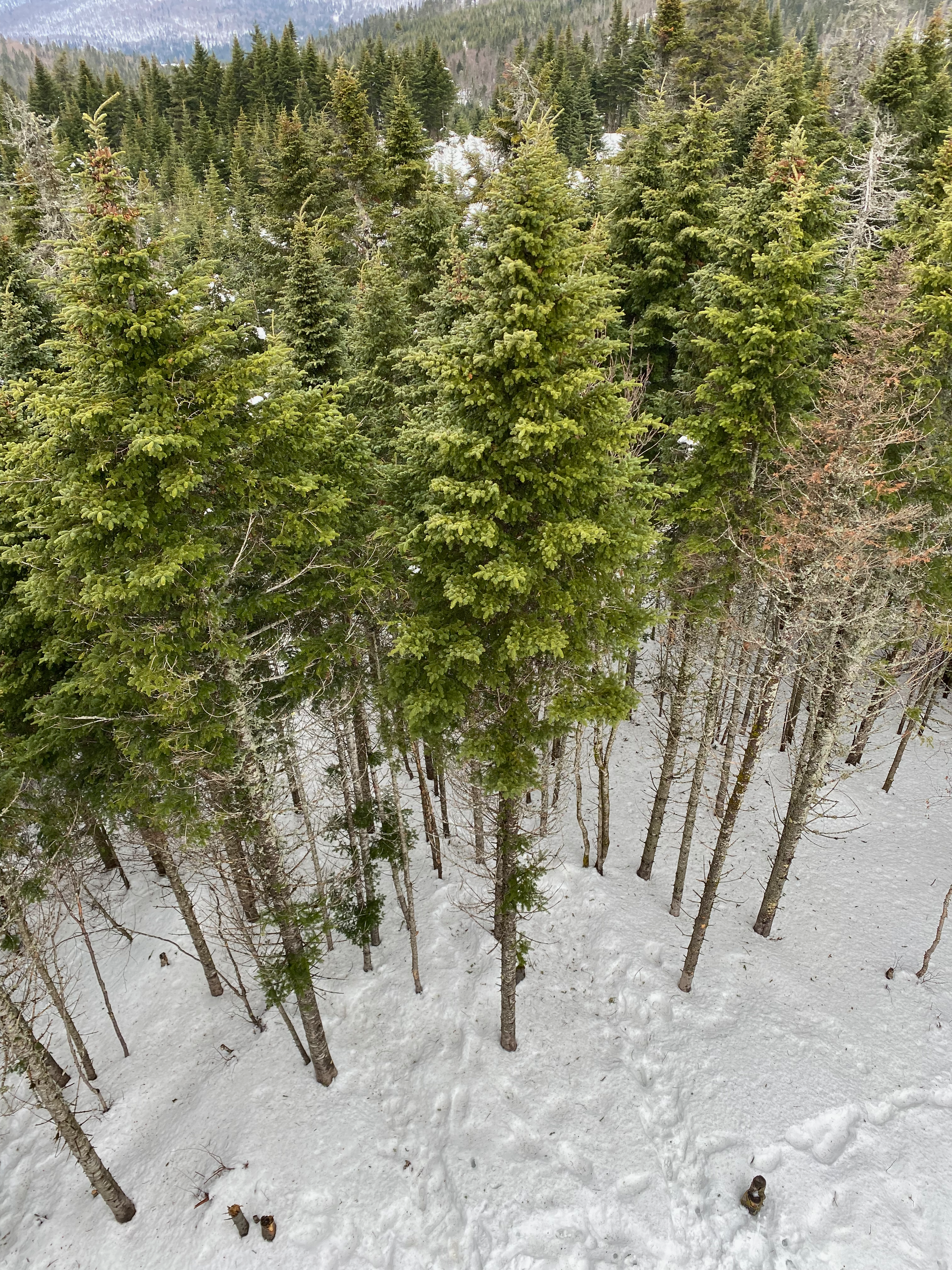

We took the long way back, taking the Inter centre trail to the plane crash site. Enough snow had melted for the grave markers and some of the plane to be visible.
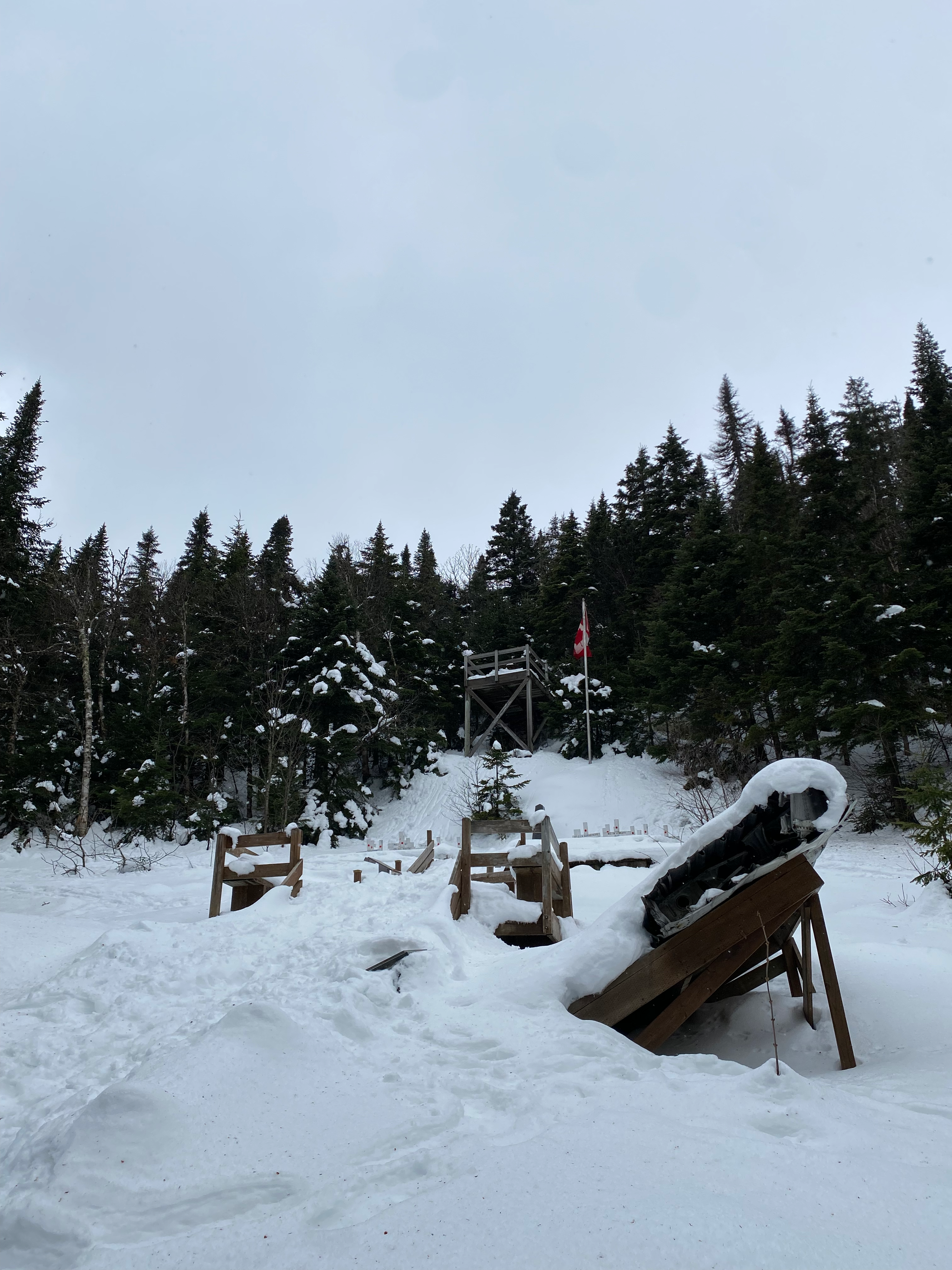
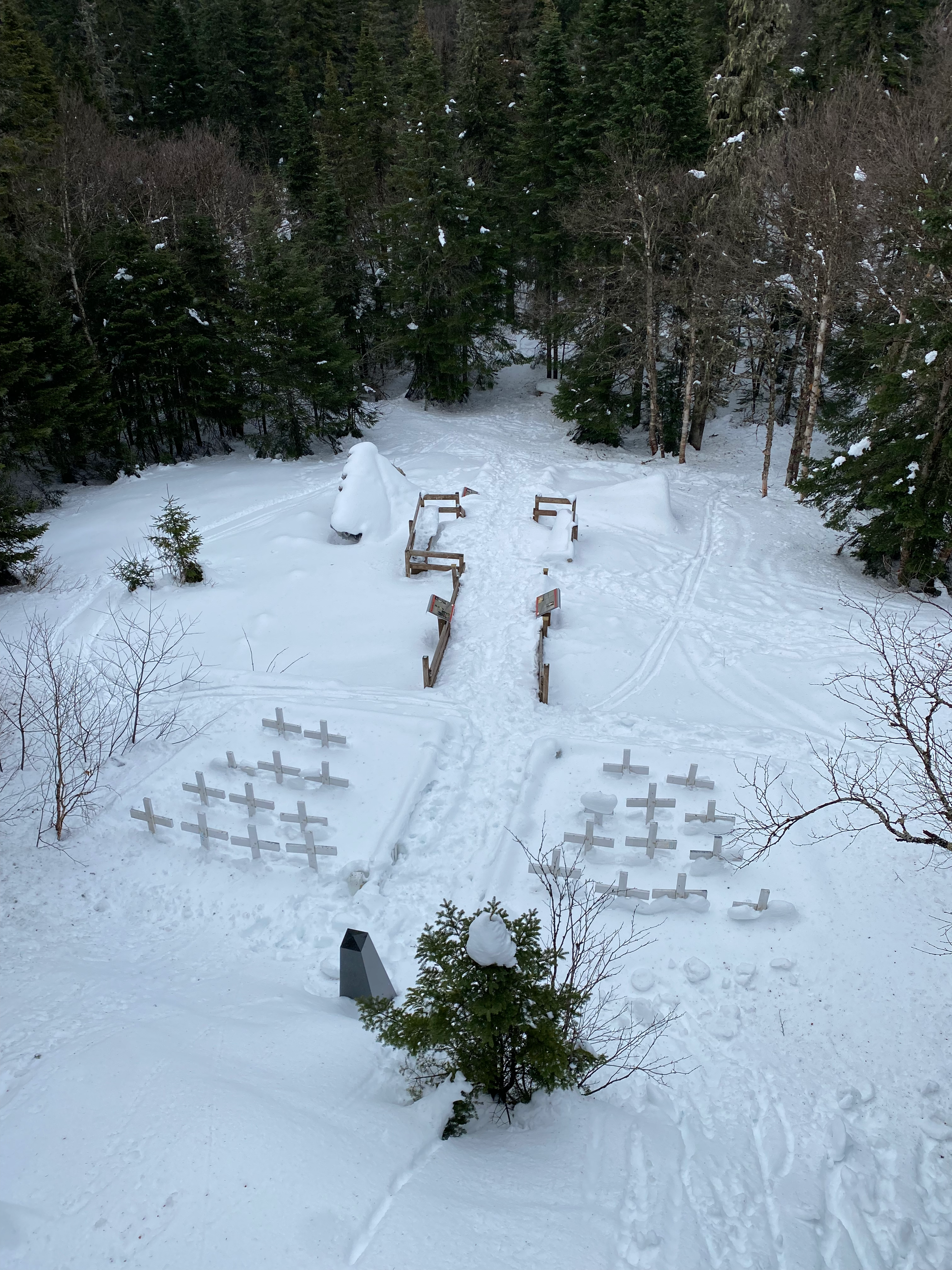
The Sentier Inter Centre heads northeast along the mountainside. It’s quite wide and was probably an old road at some point, so it was in the sun all day and the postholing was at its worst. After a couple kilometres we connected to the Sentier des randonneurs and hiked to our car from there. We drove back to the cabin and played Settlers of Catan all evening.
Montagne de la Tour:
There are many Montagne de la Tours throughout Quebec. This one is marked as “Tour a feux de St-Remi-d’Amherst” on Google Maps (there’s another one about 20km west near Lac-Simon). The trail is a 20 minute detour from Mont-Tremblant, near the town of Amherst.
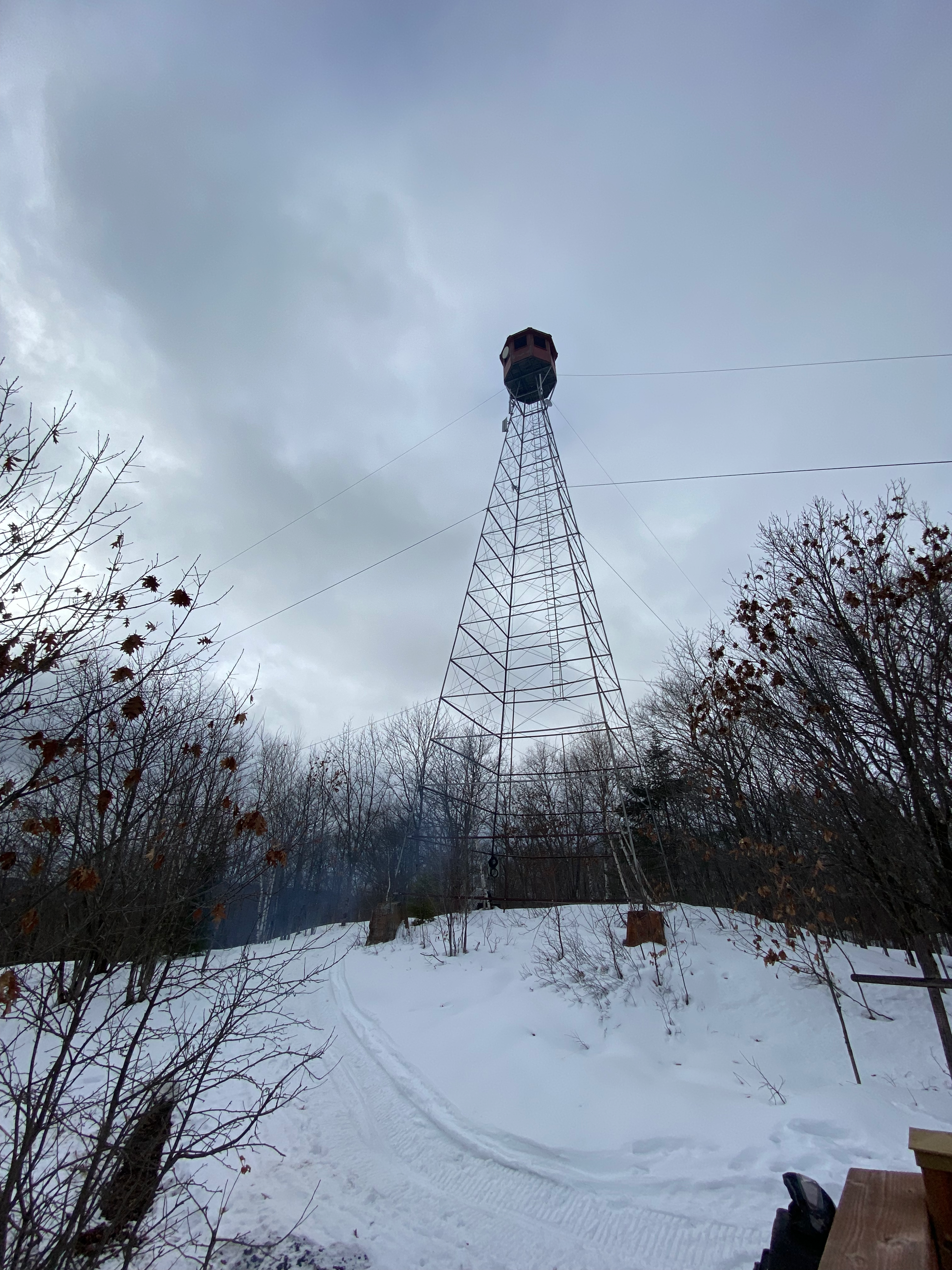
We wanted a shorter hike for the next day and I spotted Montagne de la Tour on Peakbagger. The short trail (1.5km one way) crossed a creek then switchbacked up a steep slope which was slippery in places. The trail ends at a sketchy-looking decommissioned fire tower. The base of the ladder has been removed so it can’t be climbed. There is also a platform with nice views to the east and south. This is a popular snowmobiling spot and a few snowmobilers were also there.
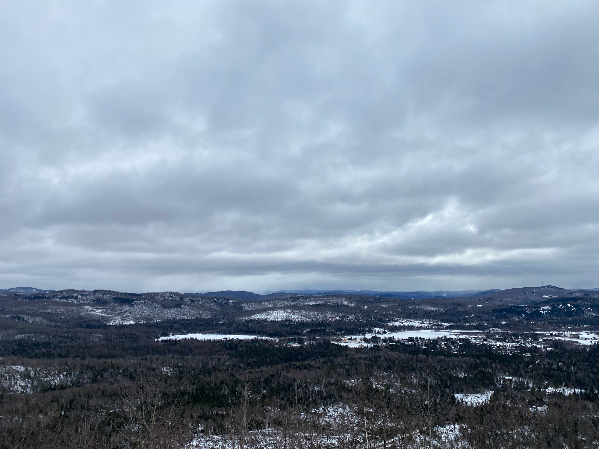
Overall this would be a nice stop if driving between Tremblant and Ottawa. Like most Laurentian hikes, it would be more scenic in the fall than the winter, but it was still worth the trip.


Member discussion