Mont Mégantic
April 1, 2024
Distance: 14.8 km
Elevation gain: 712 m
GPS: Alltrails Link (Not my track)
Mont Mégantic is an isolated mountain east of Sherbrooke, near the Maine-Quebec border. It is the tallest of the Monteregian Hills, which include Mont Royal, and was formed by a volcanic hotspot about 142 to 126 million years ago. The main peak of the mountain is surrounded by an outer ring that’s nearly as tall. This hike ascends the main peak and the higher points of the outer ring. The word “Mégantic” comes from “namesokanjik”, the Abenaki word for nearby Lac-Megantic, but it also works as a short form of “mega gigantic”, which it is by Southern Quebec standards, exceeding 1100m in elevation.
Finn and I messaged the MOC listserv and many people signed up. In the end, we had nine people, which was worrying, but the trip went well anyway. Our original destination was Mont-Gosford (the highest mountain in southern Quebec) but a quick call revealed that all their trails were closed for the spring thaw season (this isn’t on the SEPAQ site or any tourist websites in any language, you’ll have to phone the park or check sentiersfrontaliers.com). We quickly pivoted to Mont-Megantic, which was totally OK with hikers, although they recommended snowshoes.
The mountain is two and a half hours away from Montreal so we woke up early. After a short delay (one car got lost) we reached the visitor centre at the base of the mountain. In the summer, you can drive all the way to the top, but in winter and spring the road’s only open to the visitor centre.
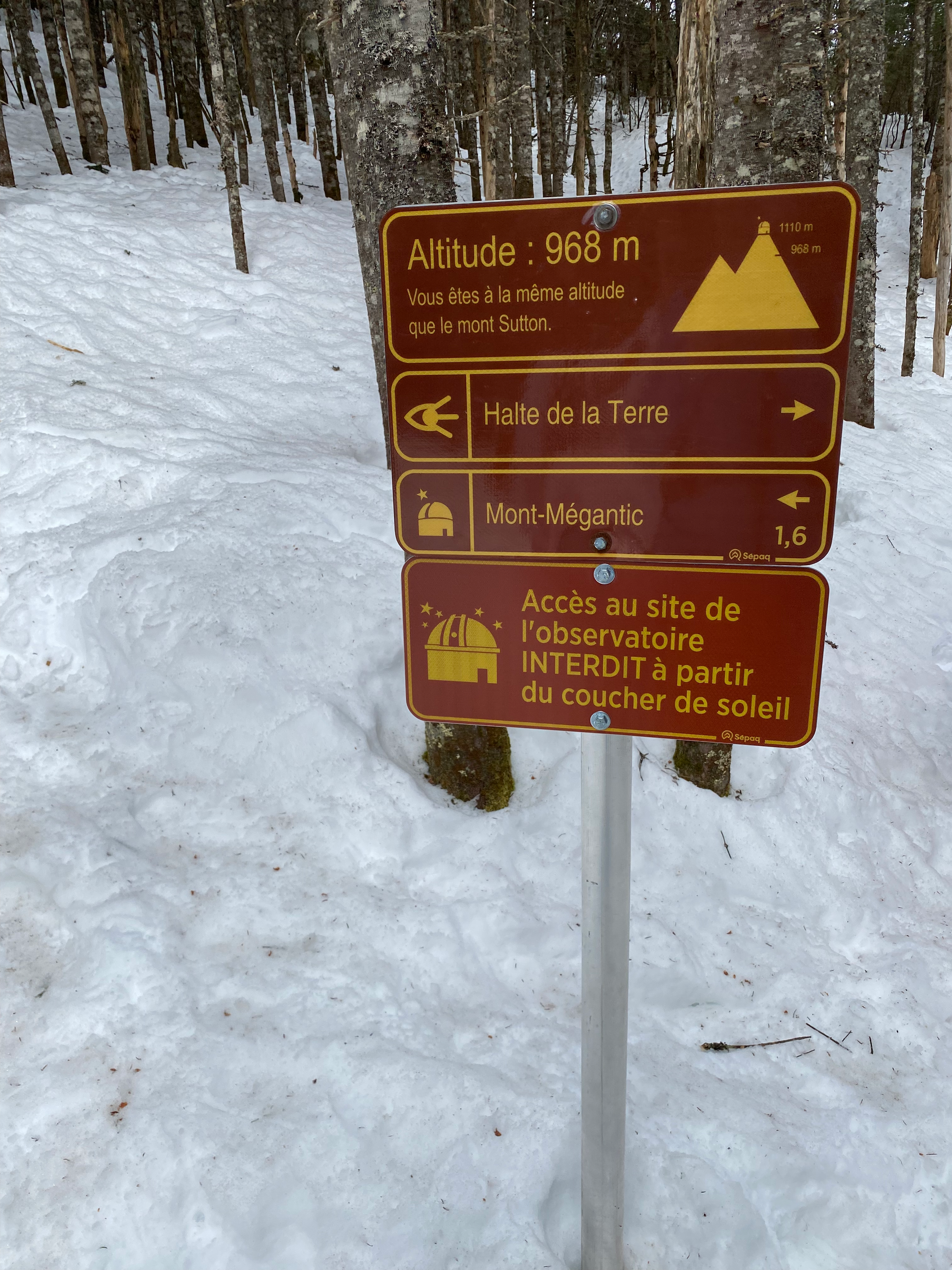
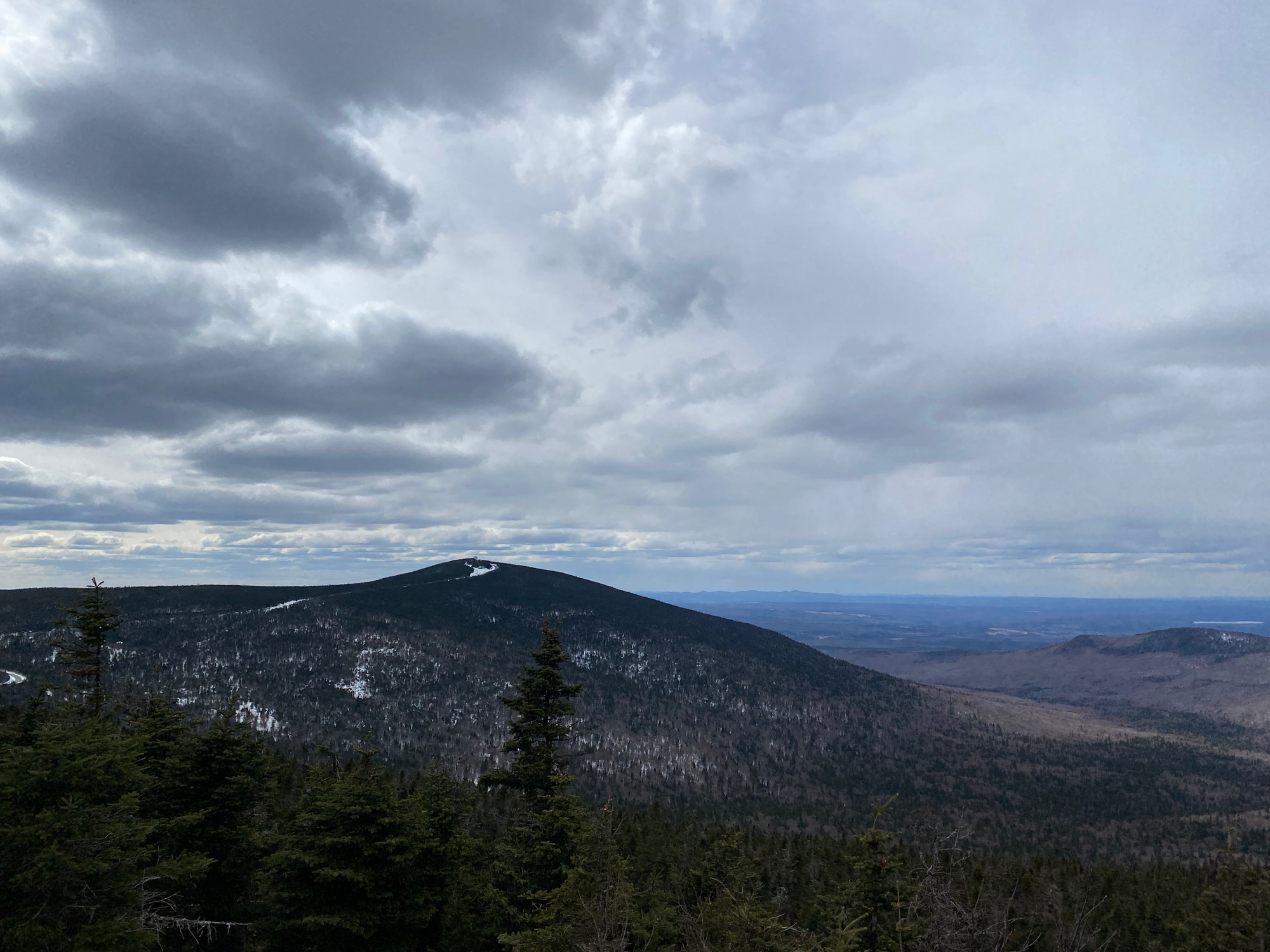
We followed the Sentier du Mont-Mégantic along a creek, then up the slope. Along the trail, signs marked the elevations of other Quebec mountains. The trail meets the road at 950m, then heads northwest through a plateau, then climbs to the summit, which is crowned with a telescope. A platform provides views to the west and north.
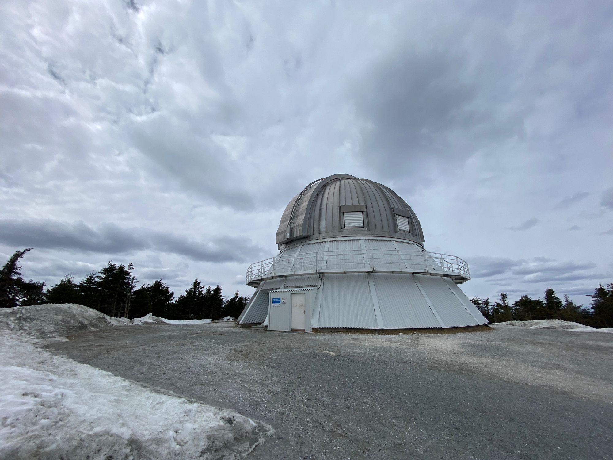
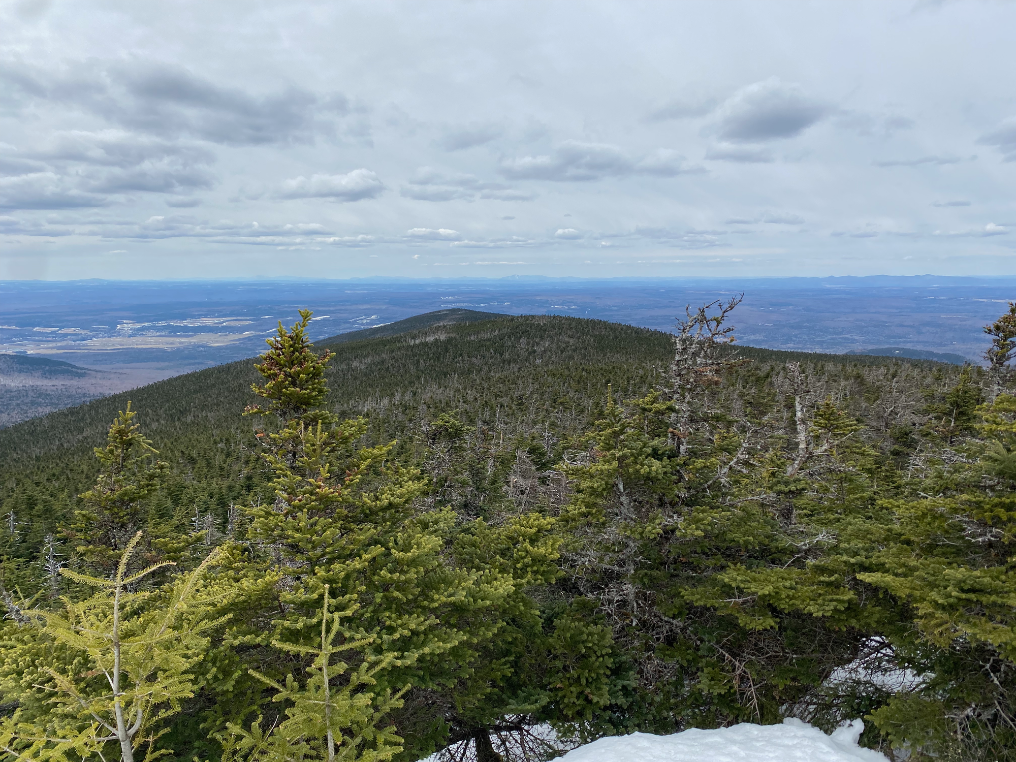
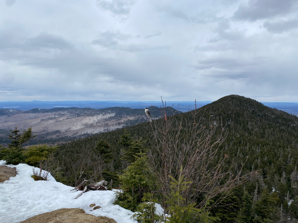
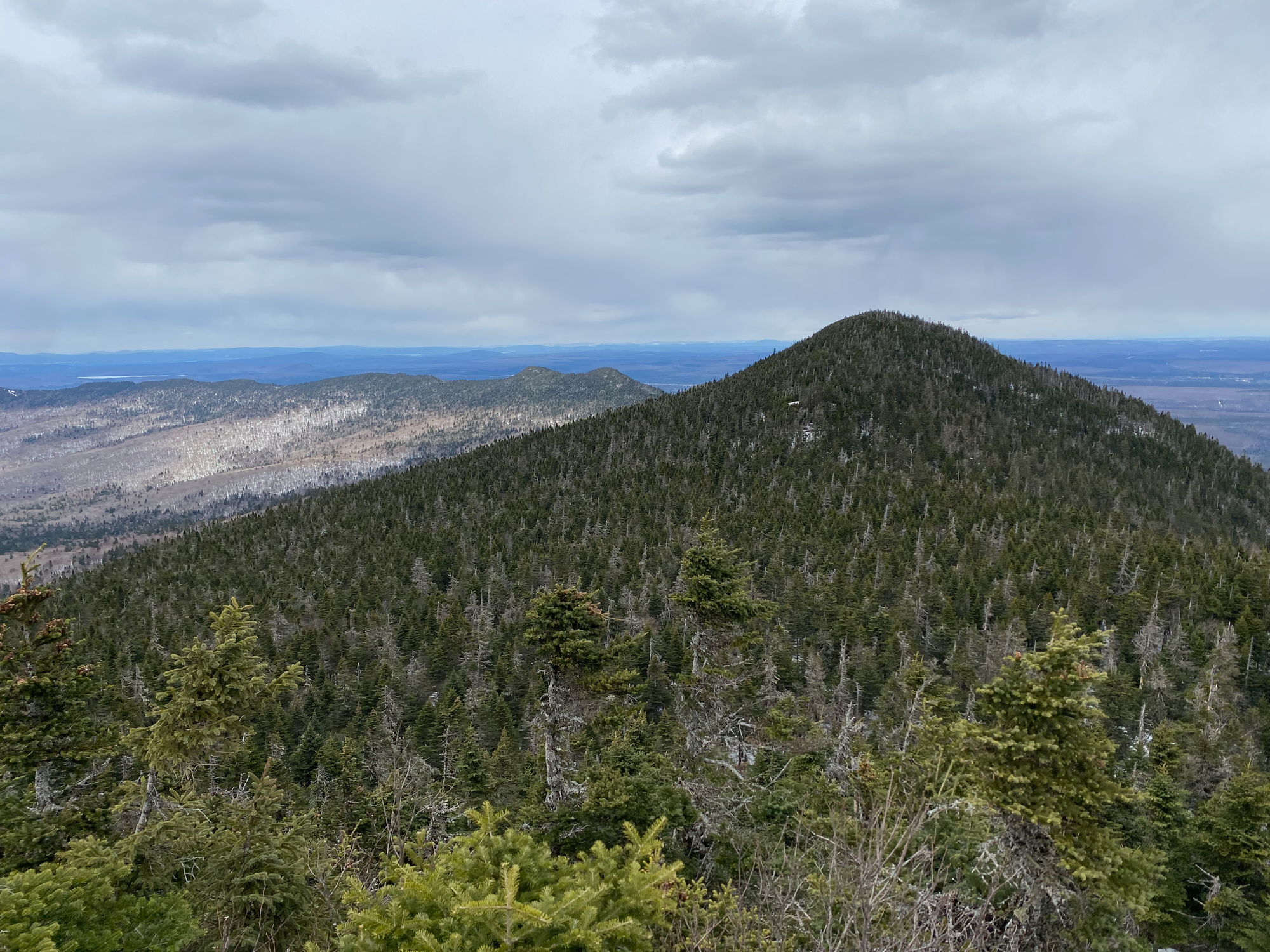
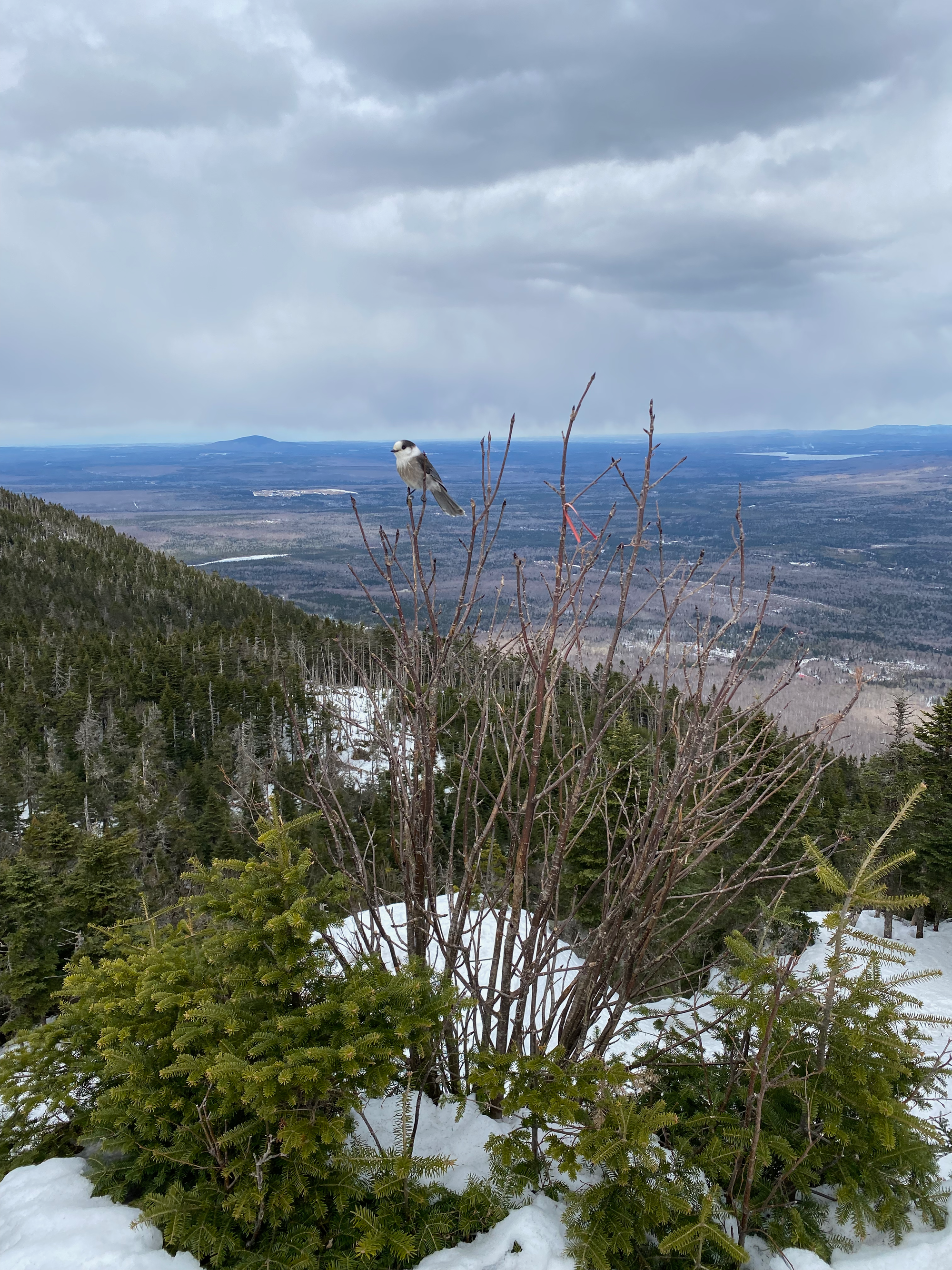
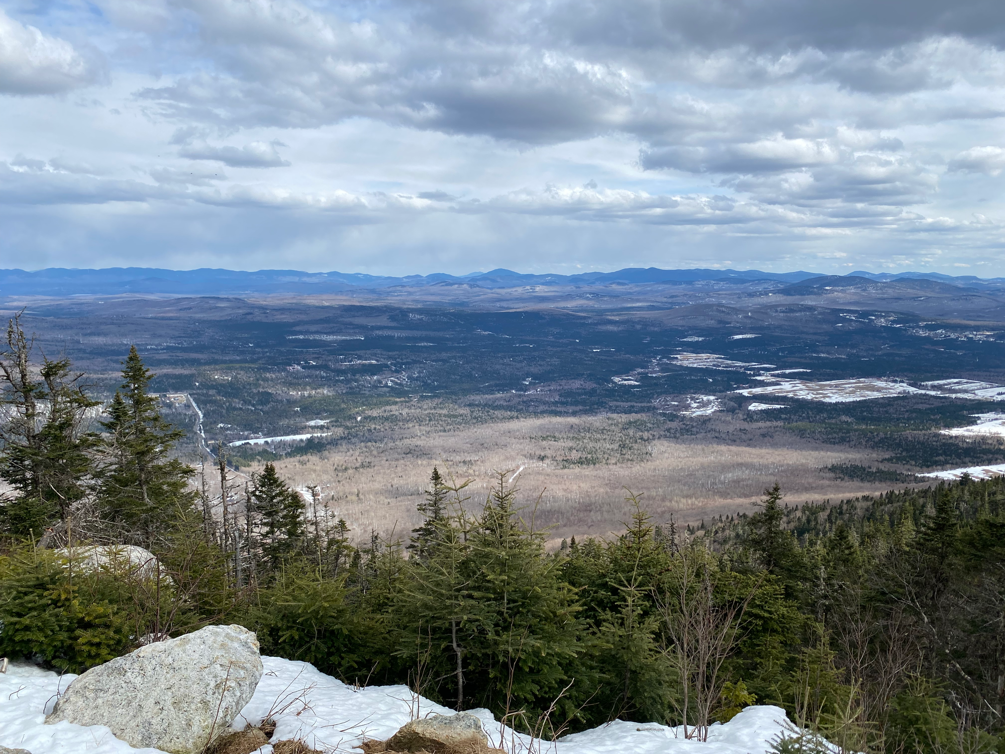
From the summit, we followed the Sentier du Col along the road, then south to another telescope, where we had lunch. After that, the trail descended the slopes of Mont-Megantic to arrive at the Col des Trois Sommets, which has one of several huts that can be stayed in. We headed east, ascending the “outer ring” of the Mont-Megantic massif. Our next stop was Pic des Crépuscules, the best view of our trip, with 180 degree views to the north, east, and west, including into Maine. As we rested, whiskeyjacks threatened to eat our lunch.
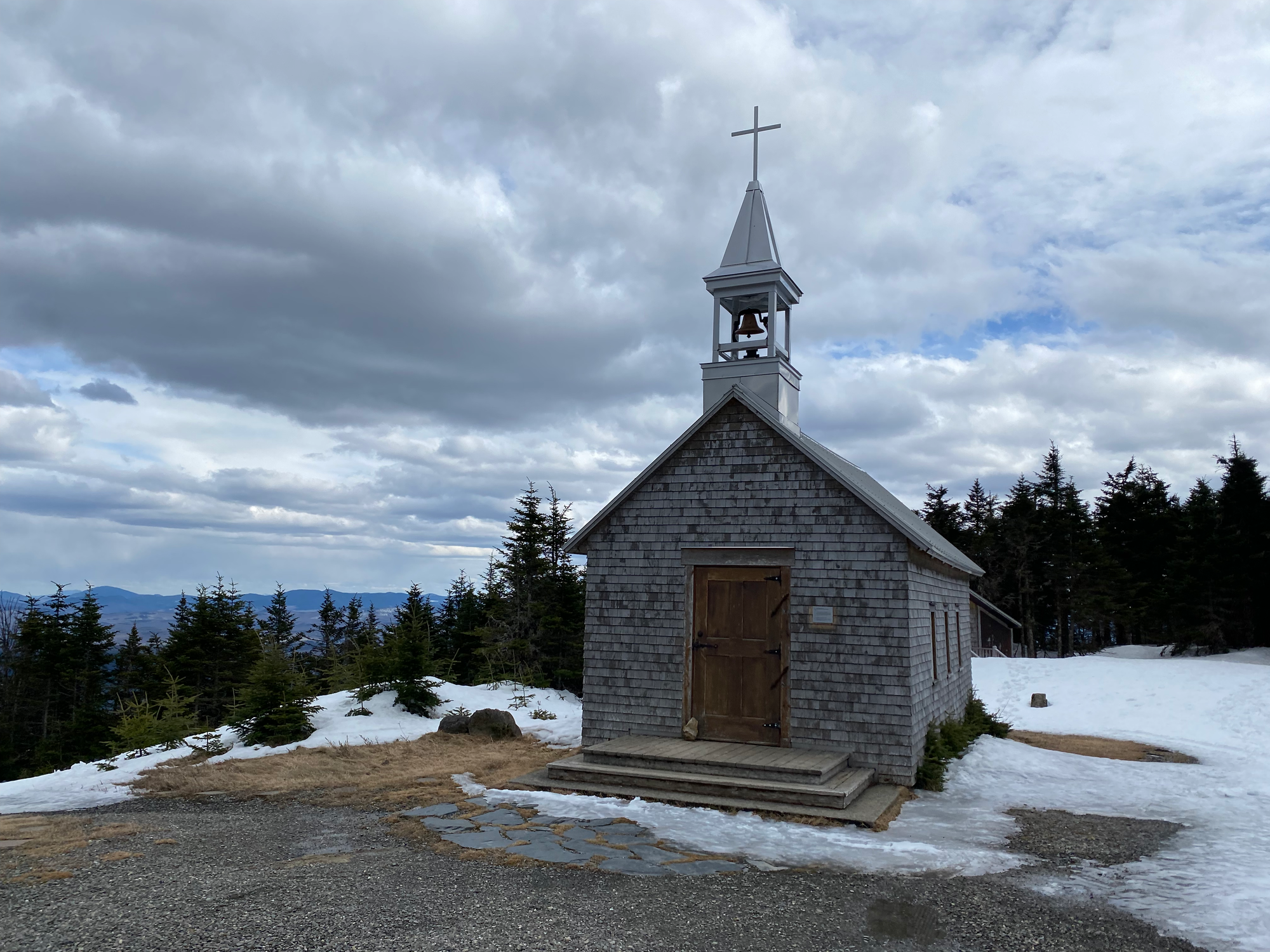
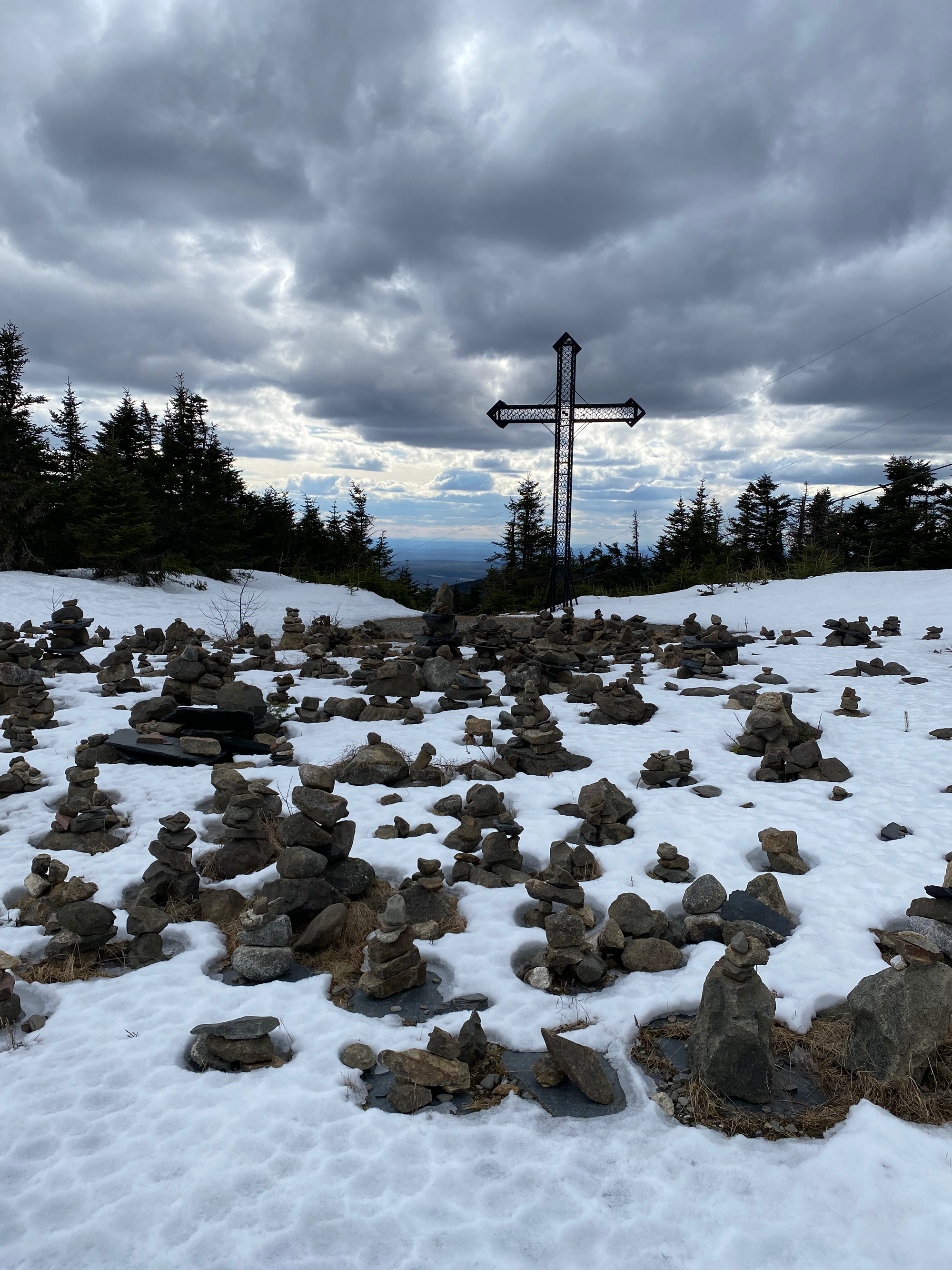
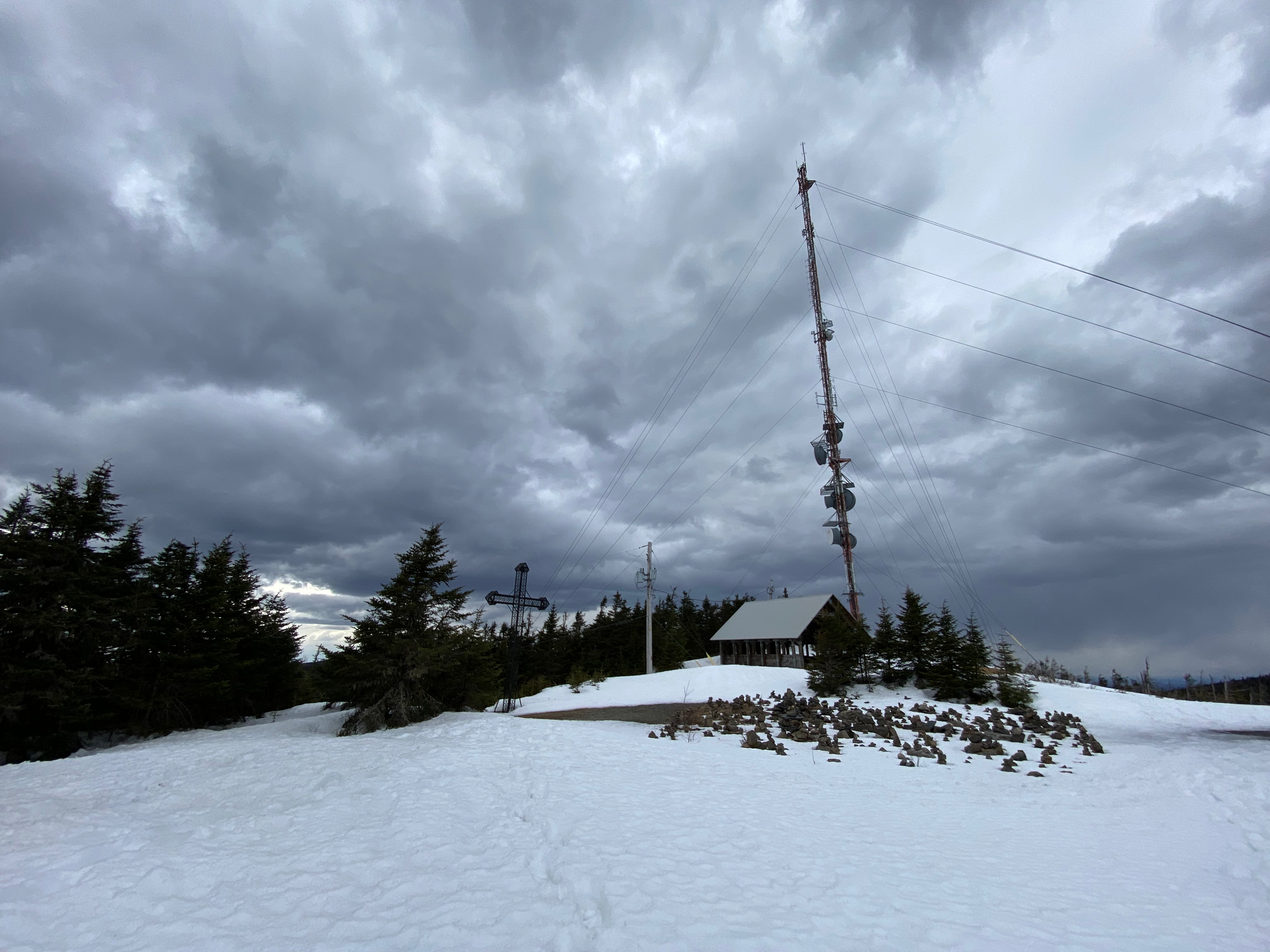
We continued south along the ridge, passing another cabin (Refuge Saint-Joseph) and stopping at Mont Saint-Joseph. This mountain has a cross and chapel dating to 1878 and 1880, respectively, as well as a statue of Jesus and a rock garden. It’s a common pilgrimage site on Sundays in the summer. There is also a tall antenna, which somewhat interferes with the effect.
From there we continued down the ridge on the Sentier du Mont Saint-Joseph, returning to the visitor centre.
Overall, this hike is further from Montreal than most day trips, but the telescopes and the views from Pic des Crepuscules and Mont Saint-Joseph make it worth the drive.


Member discussion