Mont Kaaikop
Jan 18, 2024
Distance: 5.3 km
Elevation gain: 343 m (according to Alltrails)
GPS Link: Alltrails Route
Mont Kaaikop (838m) is the third highest peak in the Laurentian Mountains north of Montreal. I wanted to explore more of Quebec in my last term, hadn’t been to the area in a long time, and wanted to test my Communauto membership, so it seemed like a good destination for a snowshoeing trip.
The trailhead is about an hour and a half north of Montreal along the popular A15 highway leading to Mont-Tremblant. Along the way I stopped to get gas and complimented the gas station cashier on her English. It turned out she was an anglophone Quebecer. Oops.
The trailhead is at “The Interval outdoor solidarity cooperative” (Coopérative L’Interval), near the town of Saint-Donat-de-Montcalm. Like most other Quebec trails, the entry fee is $10, which seems like highway robbery to someone from BC, but the trails are in much better shape than you’ll usually see out west.
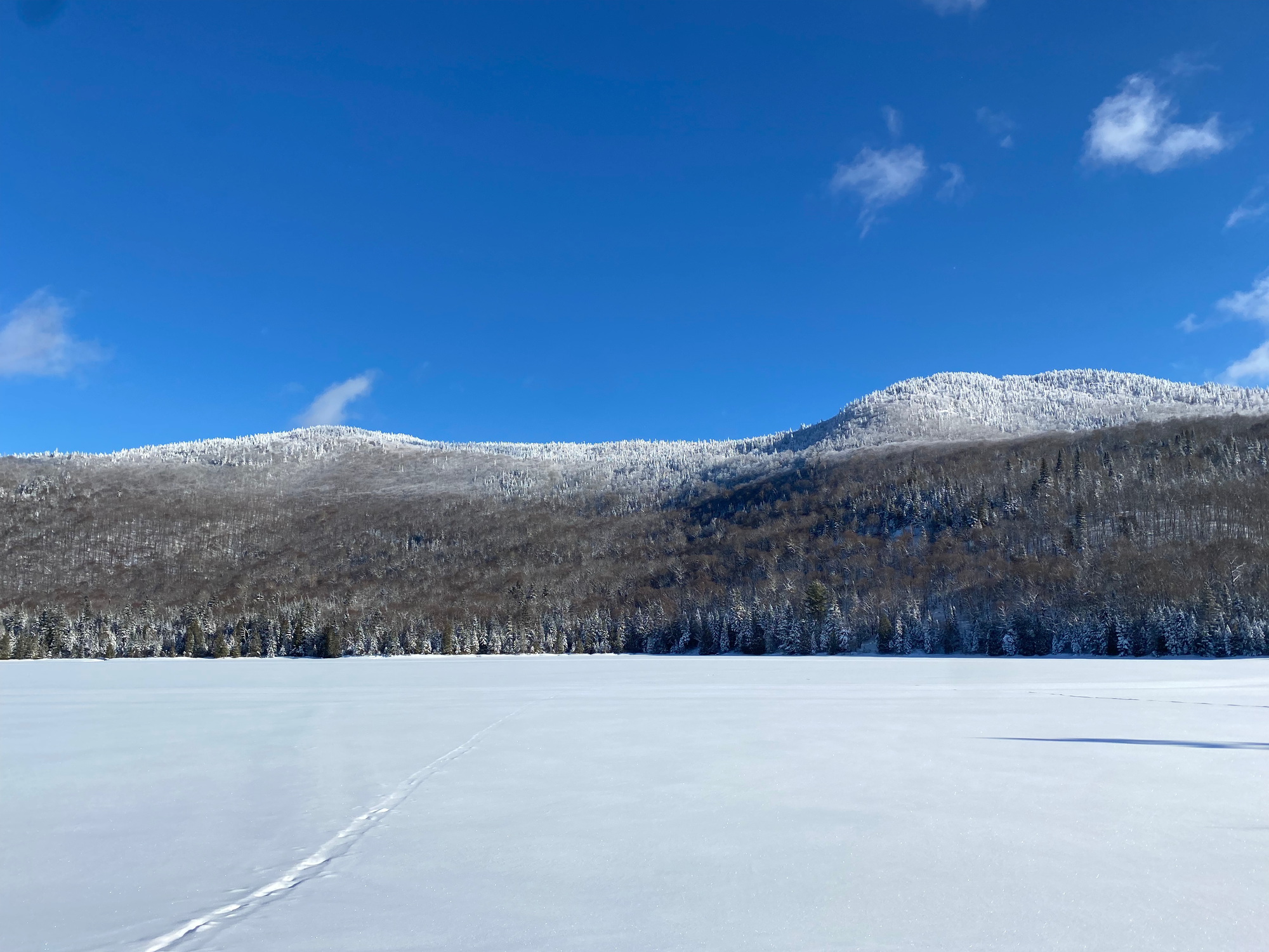
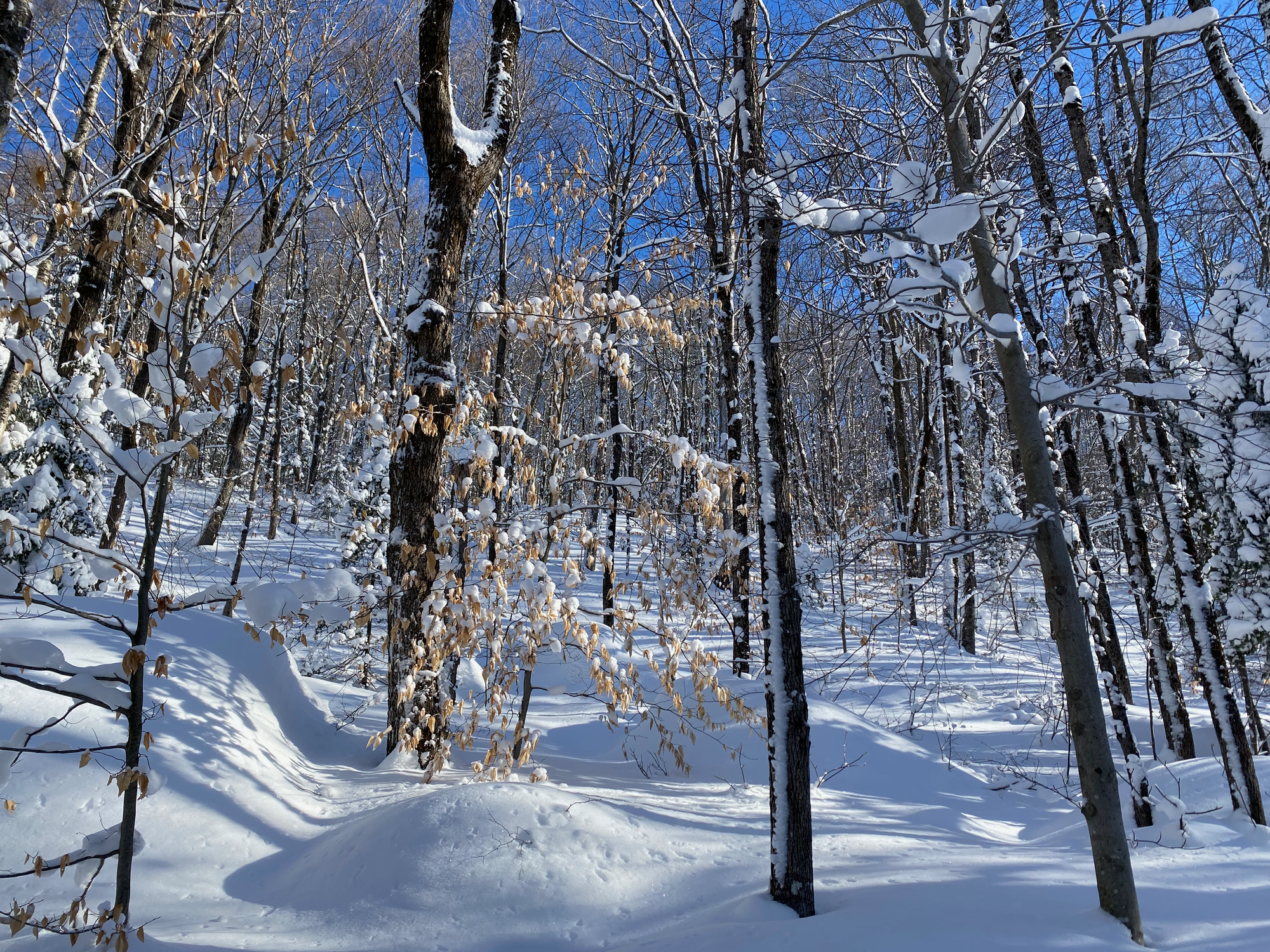
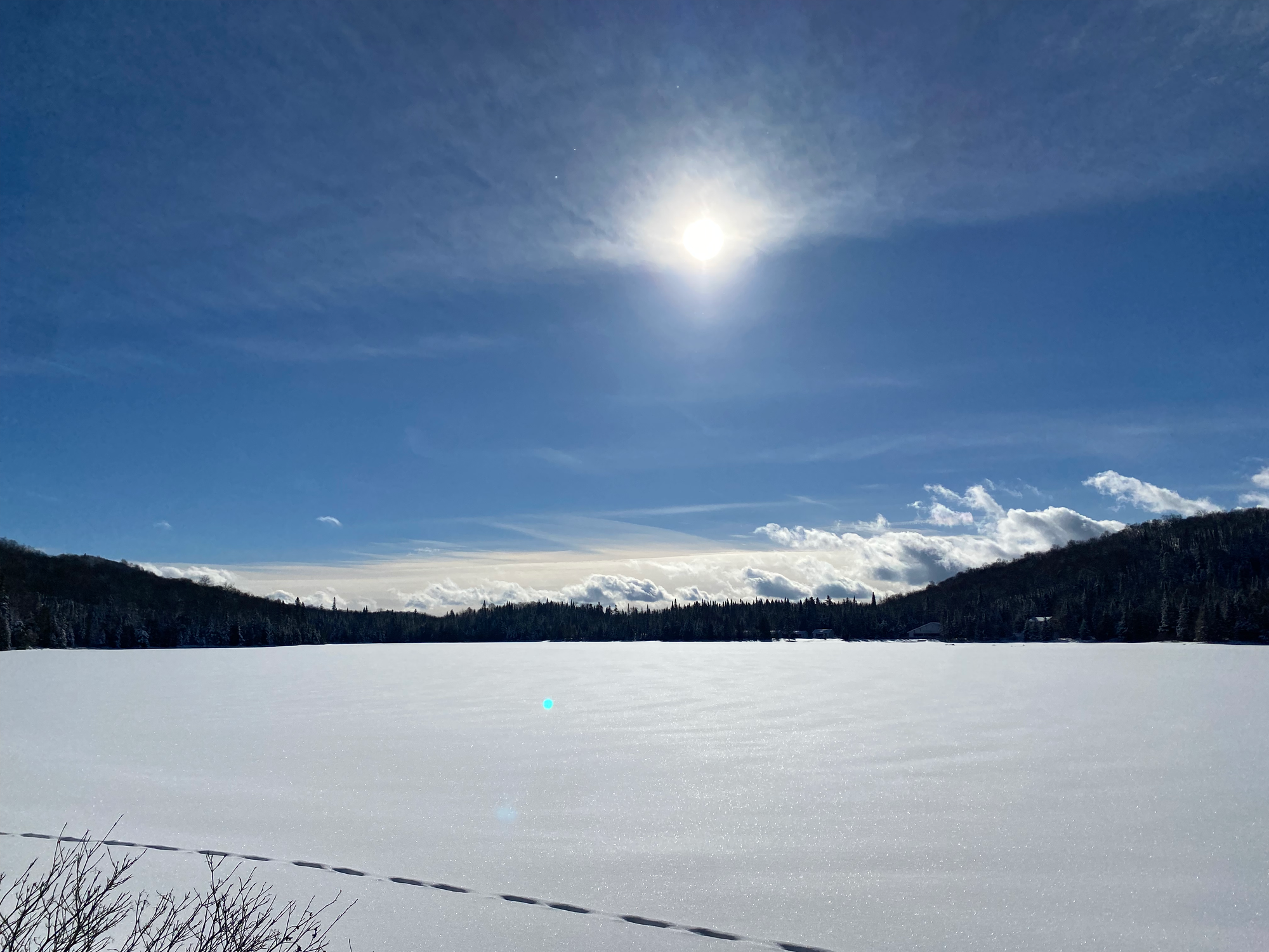
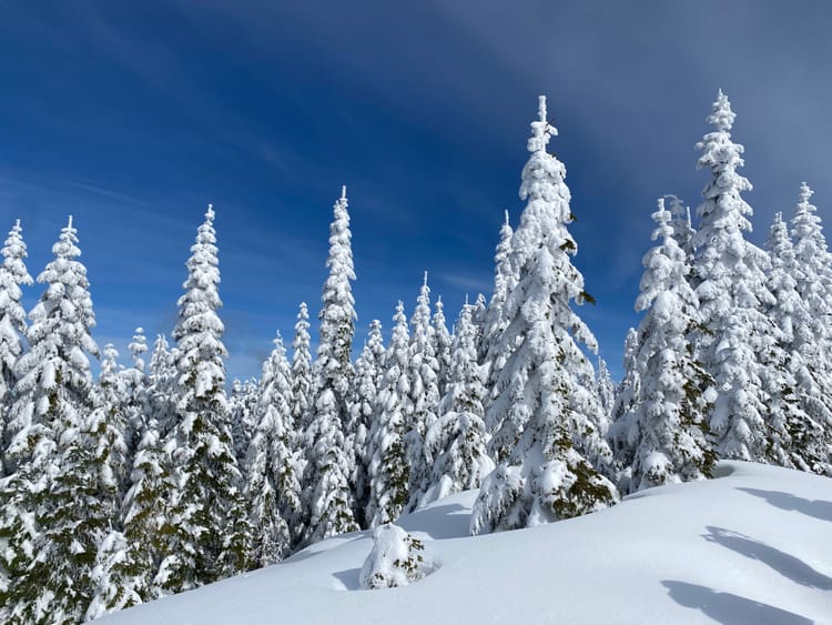
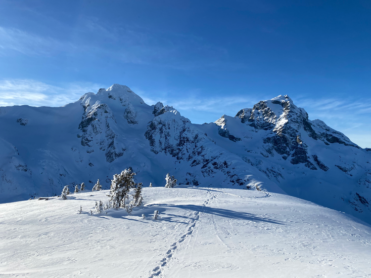
The property includes a maze of trails, which would be interesting to explore. The route to Mont Kaaikop heads south, following the shore of Lac Legault, then begins to climb up Trail #7 at a somewhat steep incline. It had recently snowed and snow covered the trees, creating a beautiful winter scene.
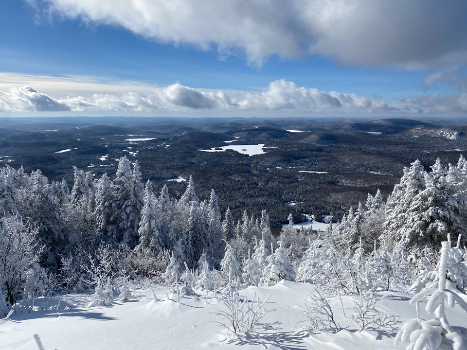
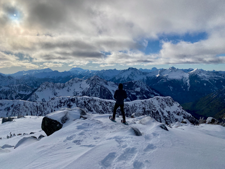
At a Y-junction with Trail #6, I went left (northeast) towards the peak. The summit has a great 120 degree view of the surrounding Laurentians, such as Montagne Noire.

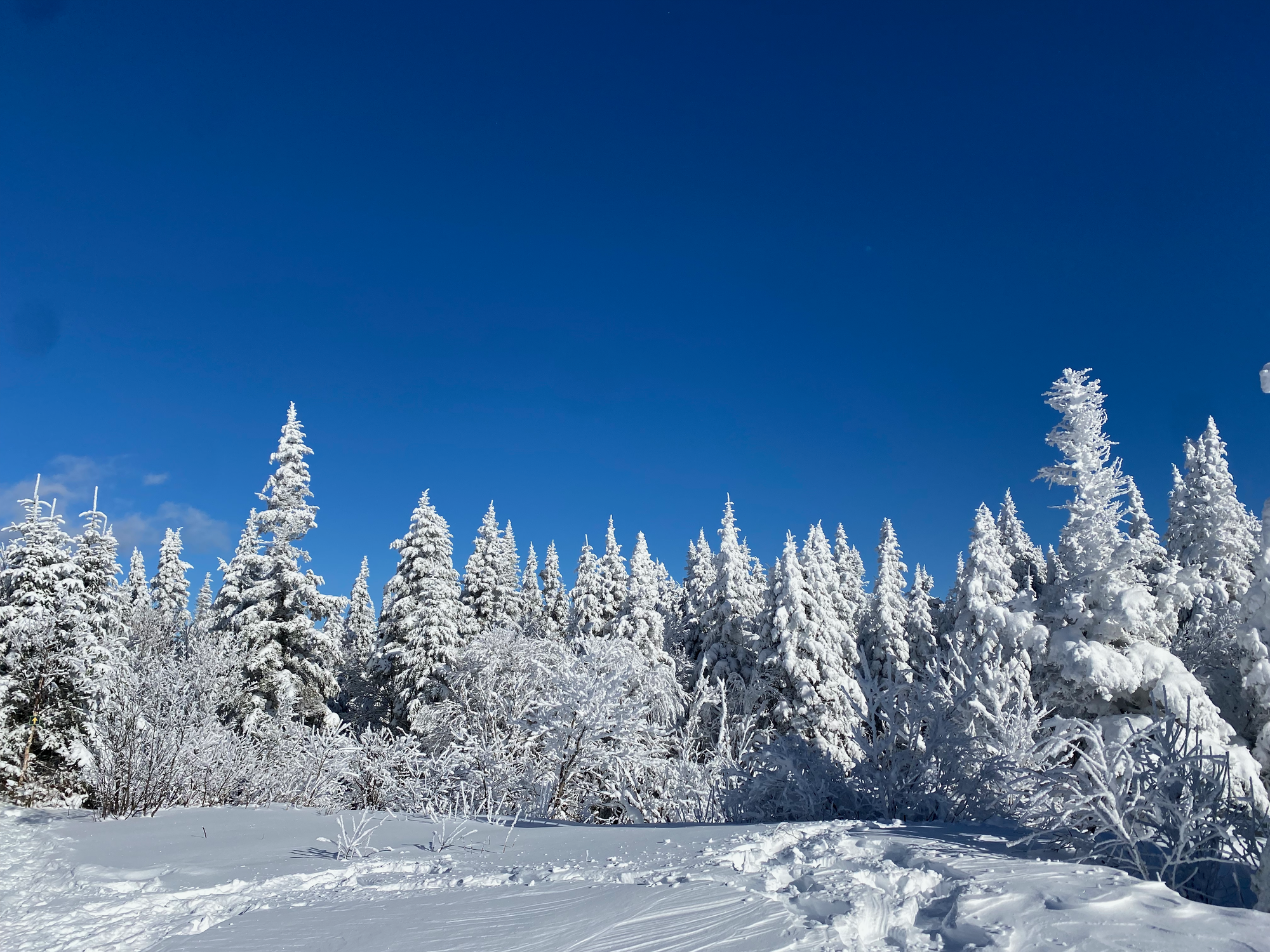
You could do a longer loop by continuing along Trail #7 to a subpeak, but I decided to follow another trail to the west towards the lake. It connected to Trail #1, which looped back to the parking lot.
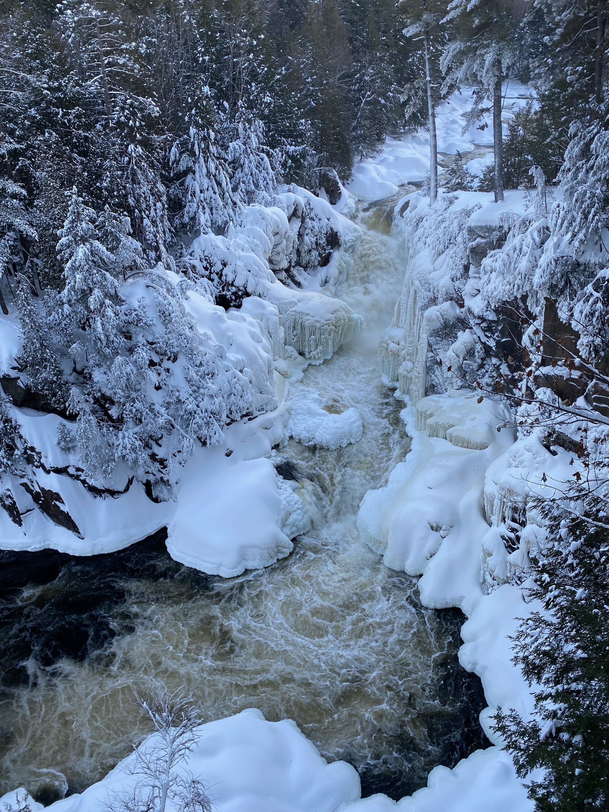
I drove back through the town of Rawdon, visiting an old family farm and the majestic Dorwin Falls before heading back to Montreal. Overall this was a great half-day hike and it would be a nice destination for a shorter day trip.

Member discussion