Mestia-Ushguli Trek
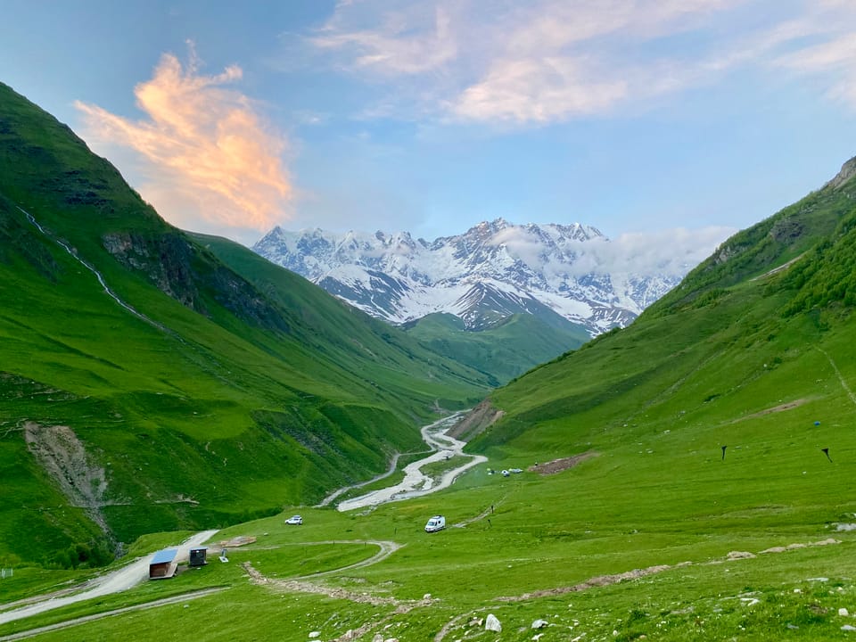
The Mestia-Ushguli trek is the most popular trek in the country of Georgia, for good reason. It takes you through stunning mountain scenery, passing villages with a medieval feel. I hiked this trek in June 2024. To make things more interesting, I took a few detours, the most significant being a route suggested on the Caucasus Trekking website which passes over Mentashi hill instead of staying in the valley on day 1 (https://www.caucasus-trekking.com/treks/tsvirmiushguli). This detour significantly improves the views on the first day and I’d highly recommend it. I also brought a tent instead of staying in guesthouses, which added more weight but gave me some more freedom.
June 2
It takes a while to get to Mestia from Tbilisi. The most direct route involves a train to Zugdidi, in western Georgia. The train left early in the morning and arrived around 2:30pm. At the Zugdidi train station, several marshrutkas (minivans) offered transport to Mestia. I picked the cheapest one (35 lari), which quickly filled up with hikers and drove north.
Roads in Georgia have plenty of obstacles. Often, the driver would swerve around cows or sheep relaxing in the middle of the road. As we went deeper into the mountains, the road ascended the slopes of increasingly steep canyons. Before the scariest hairpin turns or washouts, the driver made the sign of the cross, which was alarming!
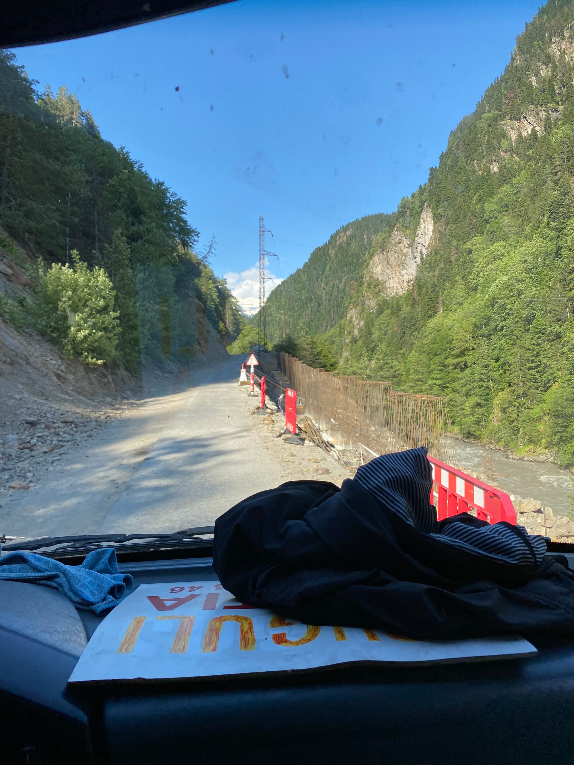
Eventually we made it to the town of Mestia, the hub of the Svaneti region. I had a quick dinner at a local restaurant. The portions were much larger than expected so I ended up saving some for lunch the next day. As I left the restaurant, several dogs smelled the food in my pack and followed me until I was safely out of town.
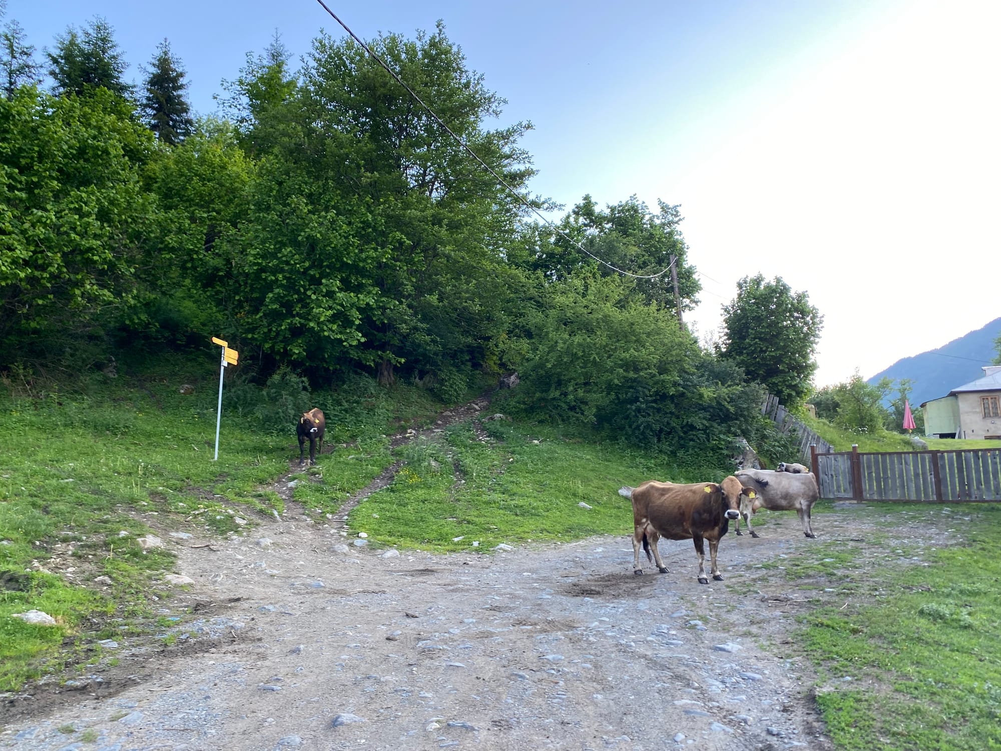
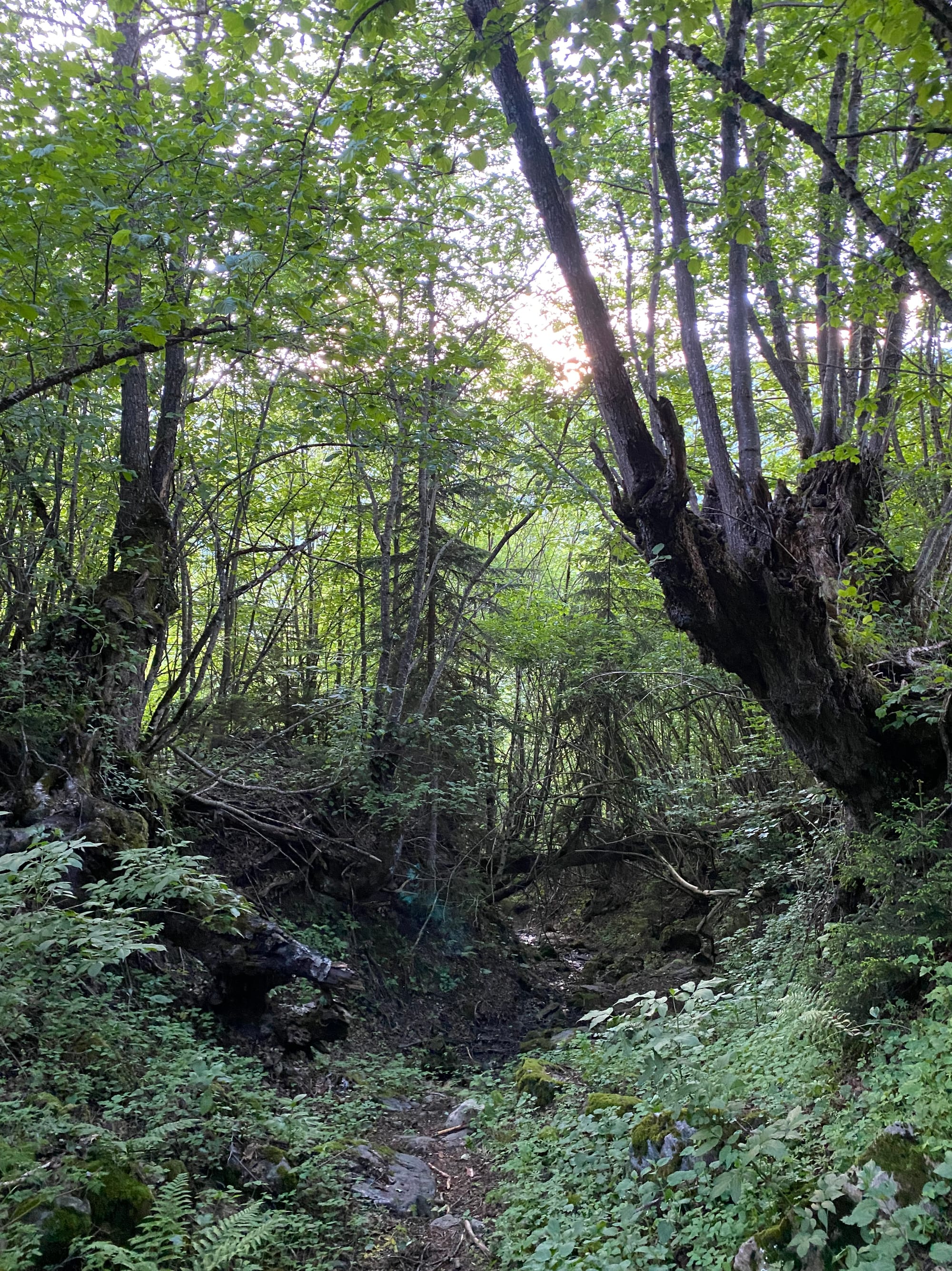
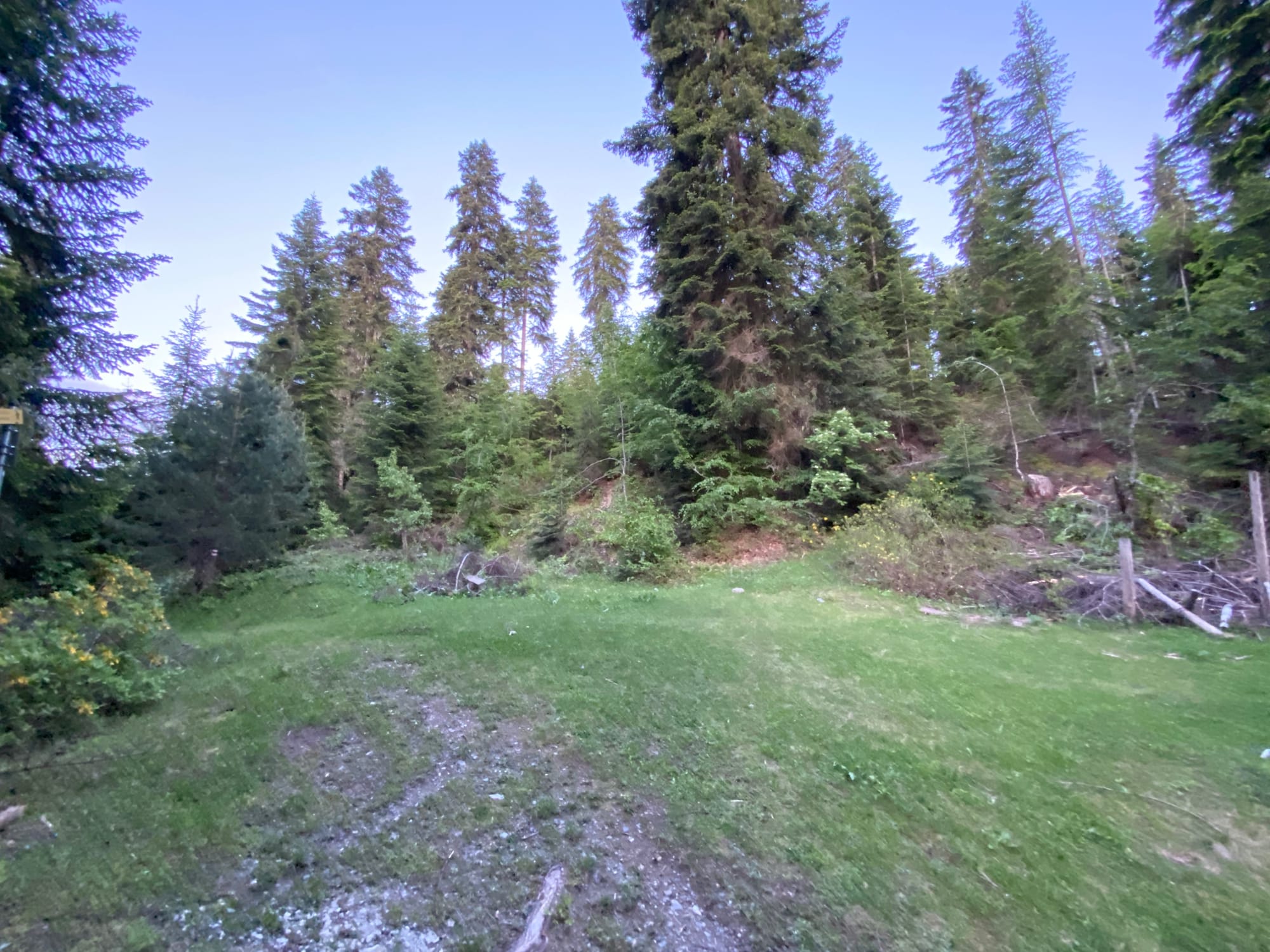
Most hikers travel east through the valley, but my route ascended a ridge to the south of Mestia. I followed signs to Zuruldi (a ski hill in the winter), hoping to get as far as I could before sunset. Helpfully, all routes in the area are marked with signposts in Georgian and English, and there are maps at major junctions. I followed a series of dirt roads and old paths, climbing over deadfall at times, before reaching a clearing just below the road at 1860m elevation (2.7km from town), where I set up camp.
June 3
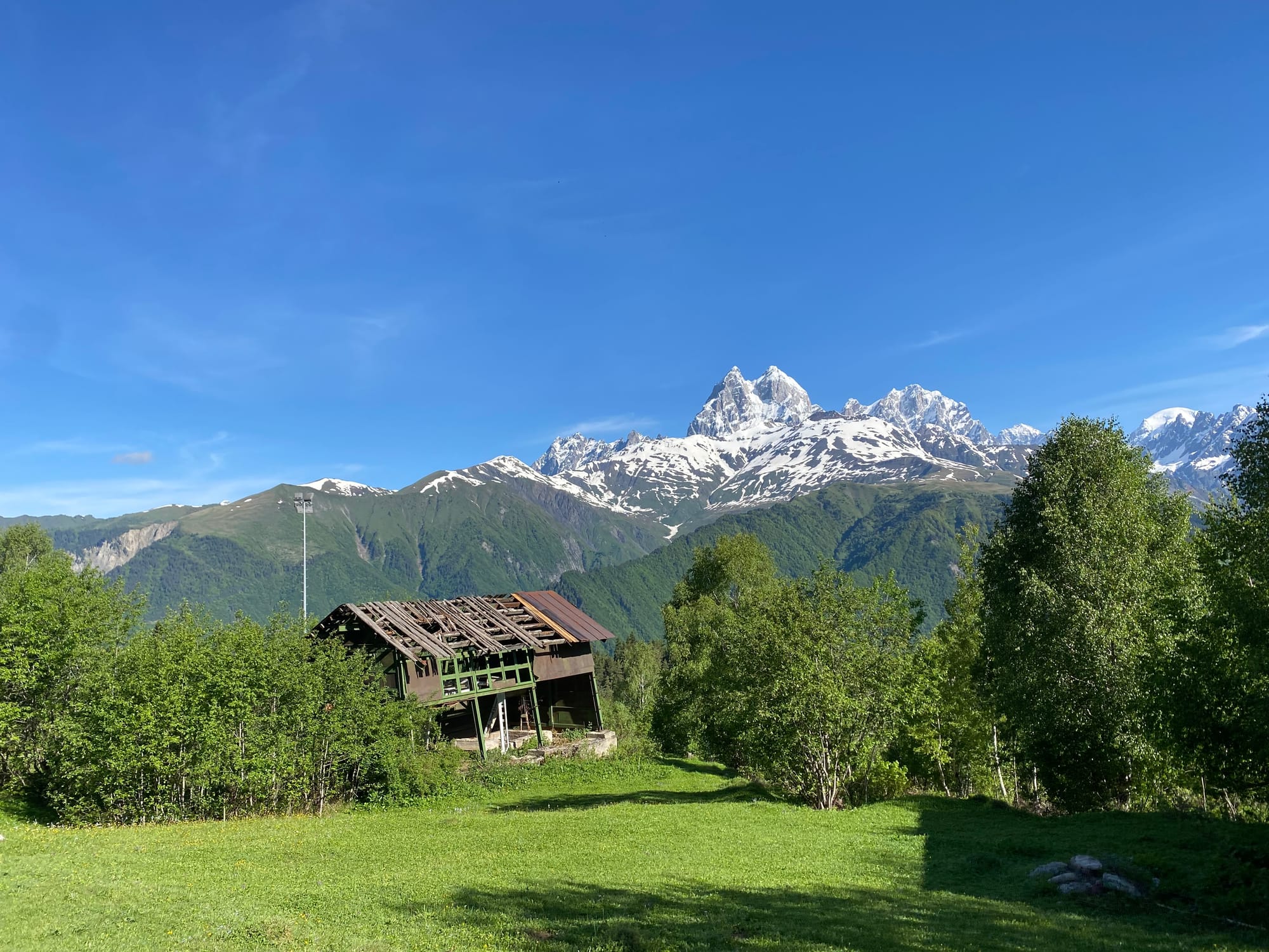
It didn’t take me long to reach the base of the Hatsvali ski resort. Apparently the chairlift here usually runs in the summer, but today it was closed, so I had to walk up the hill by myself. The most direct route ascends a gravel road in the middle of the ski resort. After a week of khachapuri (cheese bread) and khinkhali (dumplings) in Tbilisi, this was quite the grind. As I climbed, I was treated to excellent views of the two-horned Mt. Ushba to the north.
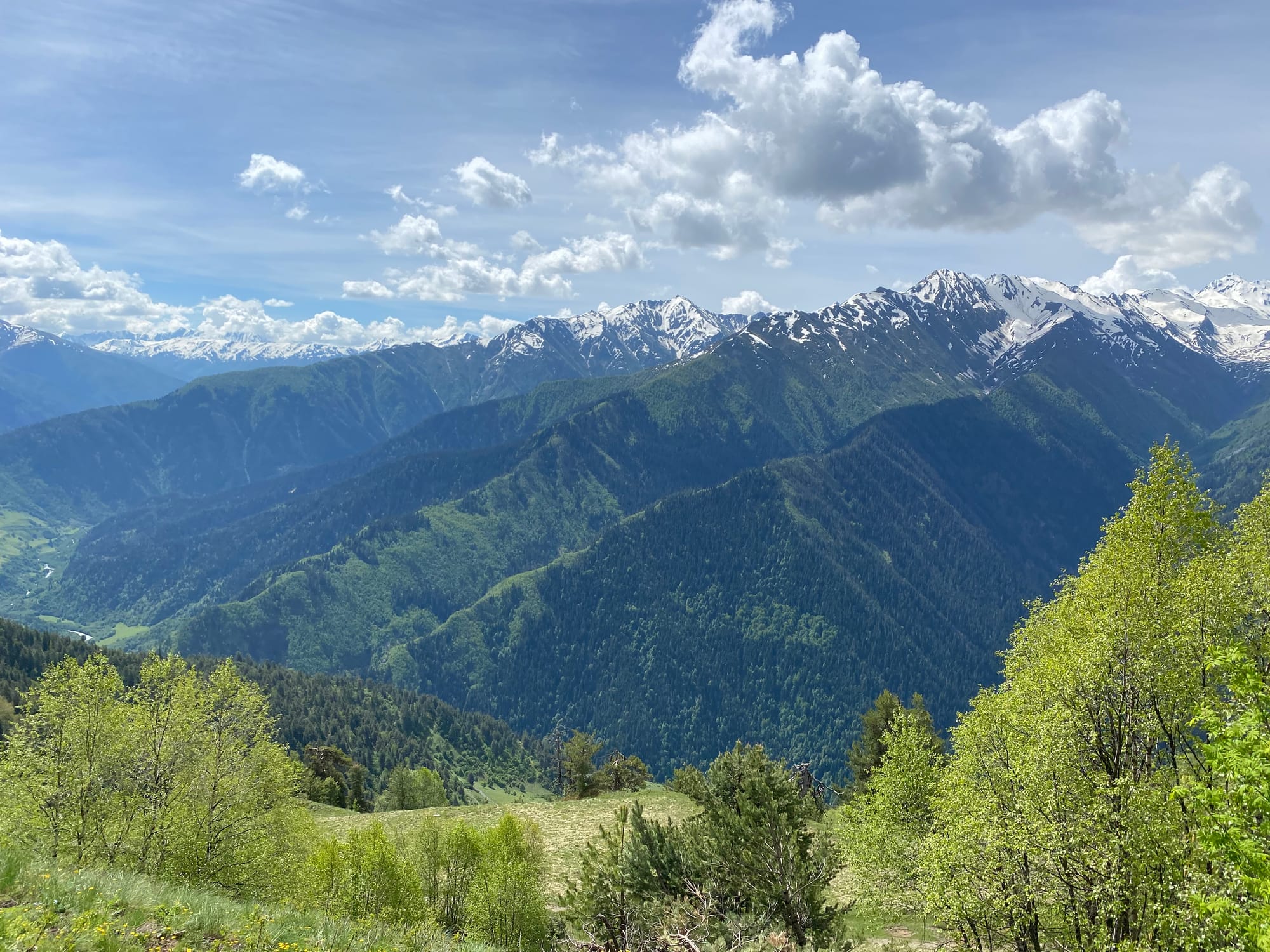
Eventually the road reaches the top of the chairlift. There is a cafe here, but it was also closed for the season. From here the trail winds along the ridge through a series of pleasant forests and grassy meadows with great views of the nearby mountains and villages.
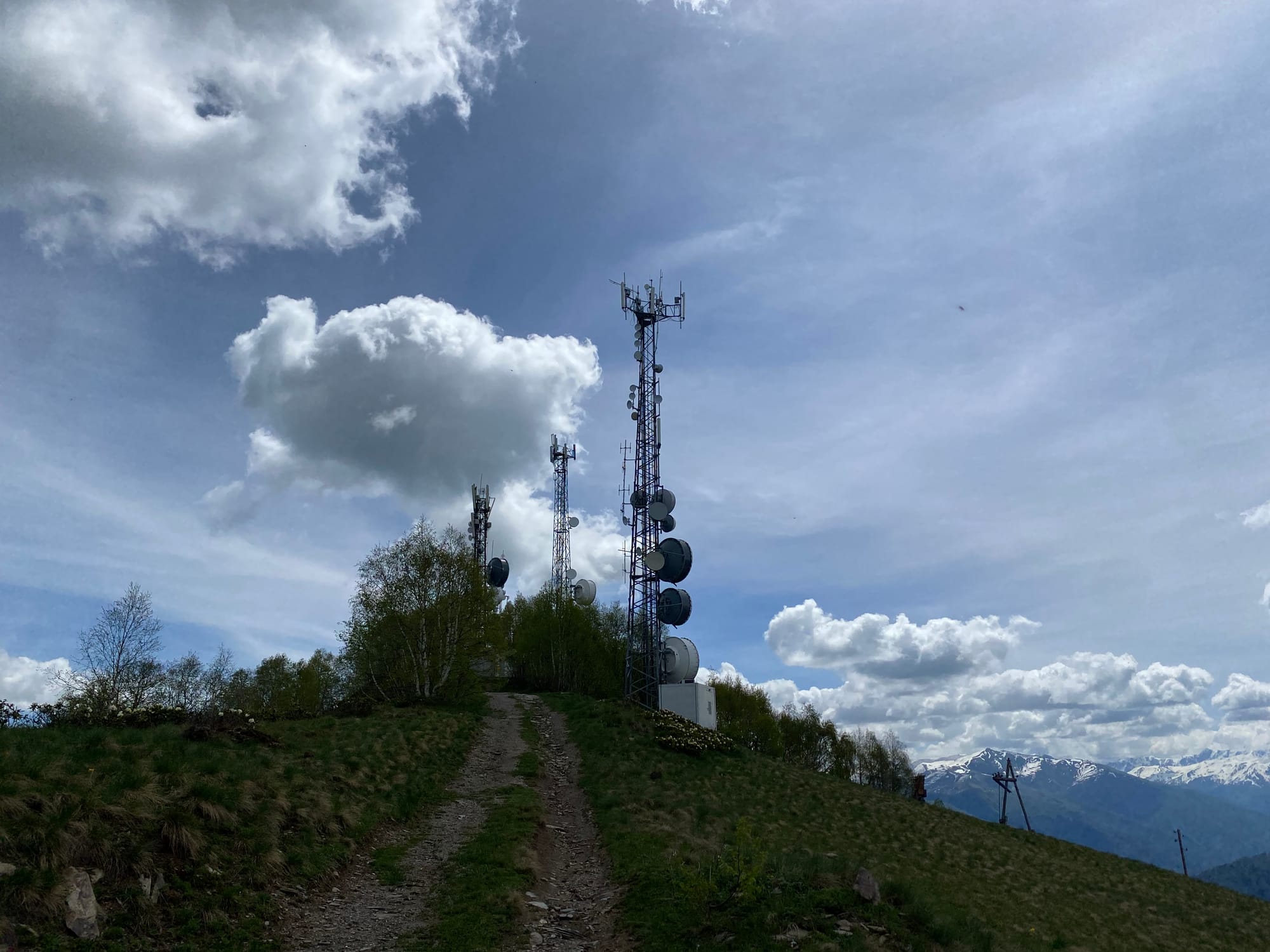
A short detour took me up a small hill with a radio tower. About a kilometre later, I reached Mentashi, the ridge high point, with another radio tower. The views were panoramic and I could see the imposing Mt. Tetnuldi in the distance.
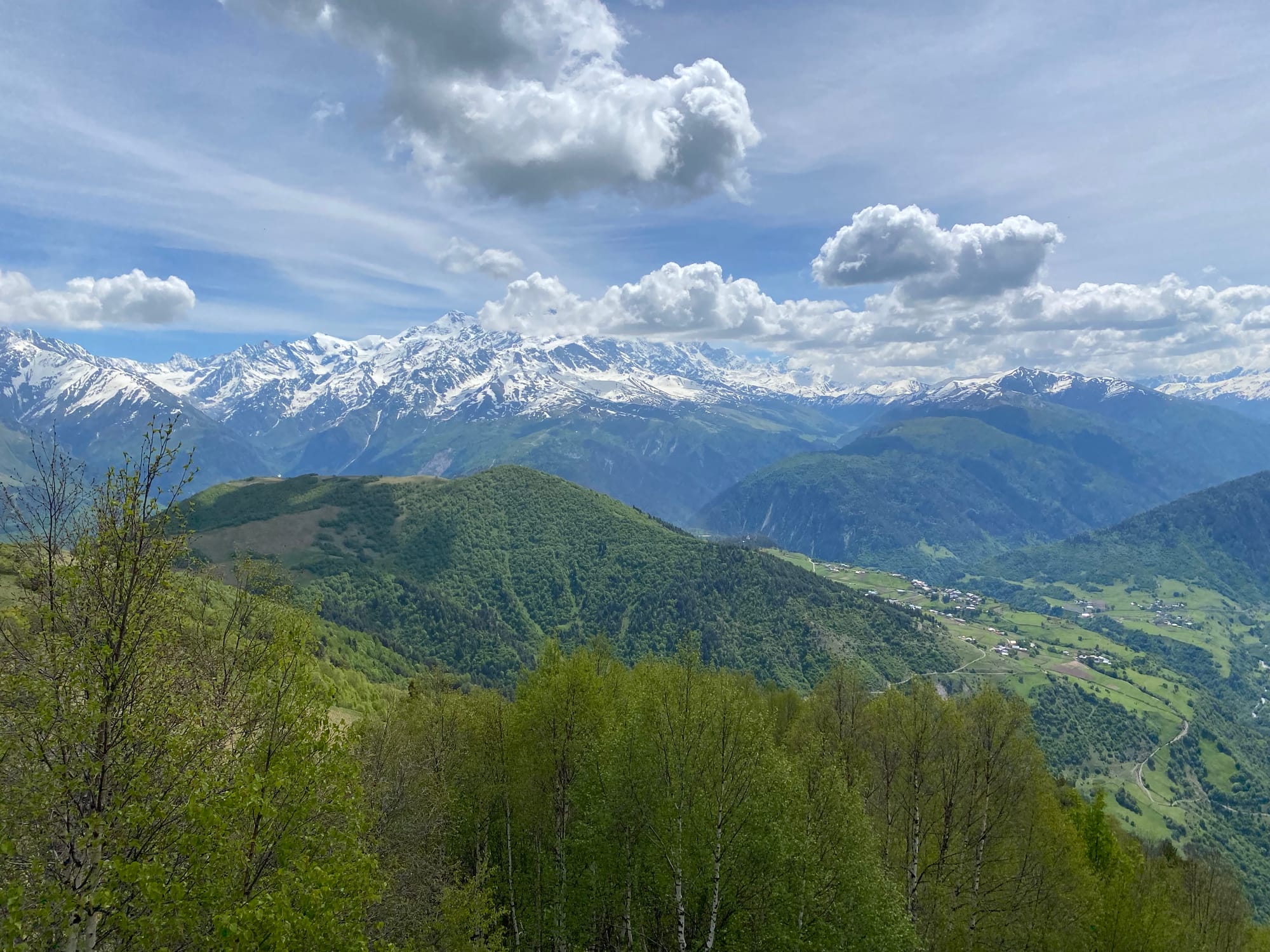
I left the Caucasus Trekking route to stay on the ridge and visit Zuruldi (a hill to the east of Mentashi, not to be confused with the ski hill). The summit overlooks the village of Tsvirmi and has a small church on top. A grassy meadow just before the turnoff offers an excellent vantage point of the mountains northeast of Mestia. I ate lunch here and met some Slovakian hikers on a day hike, the first people I’d seen since the morning.
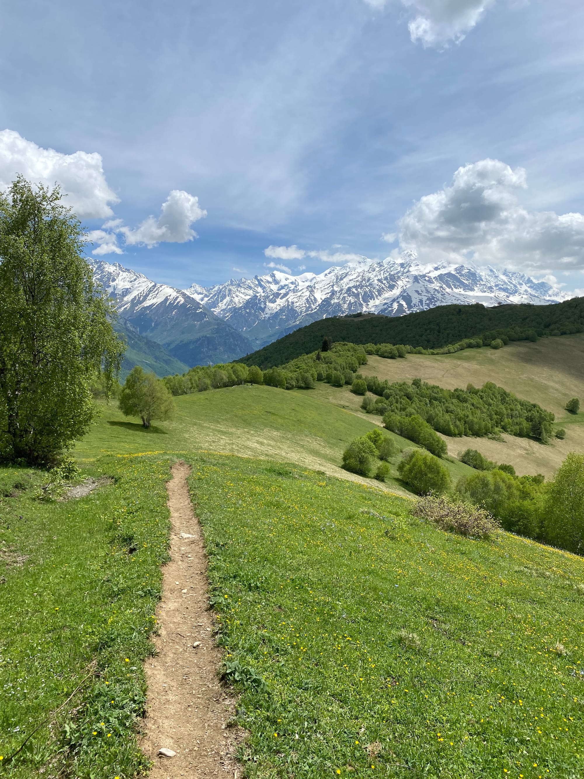
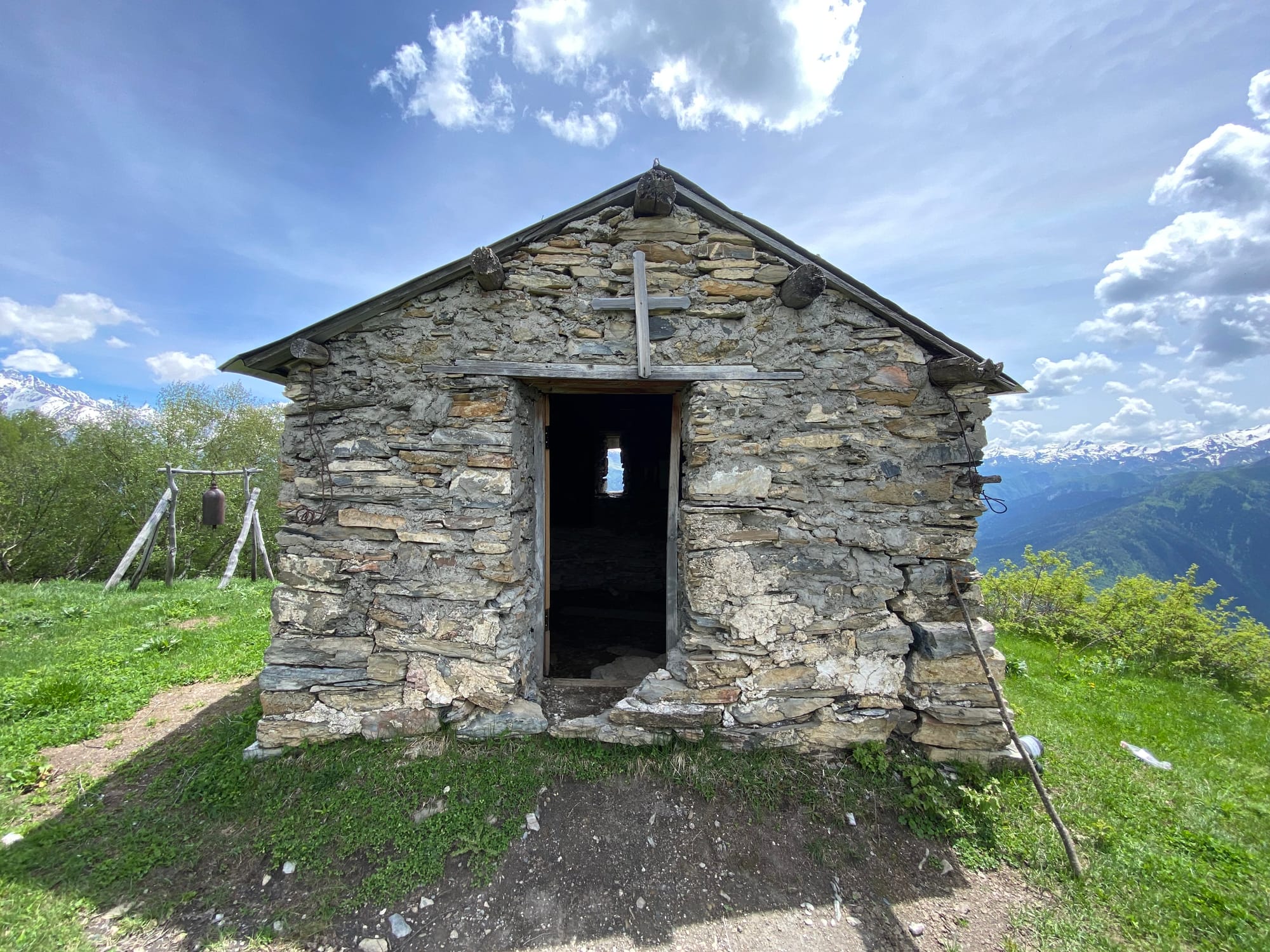
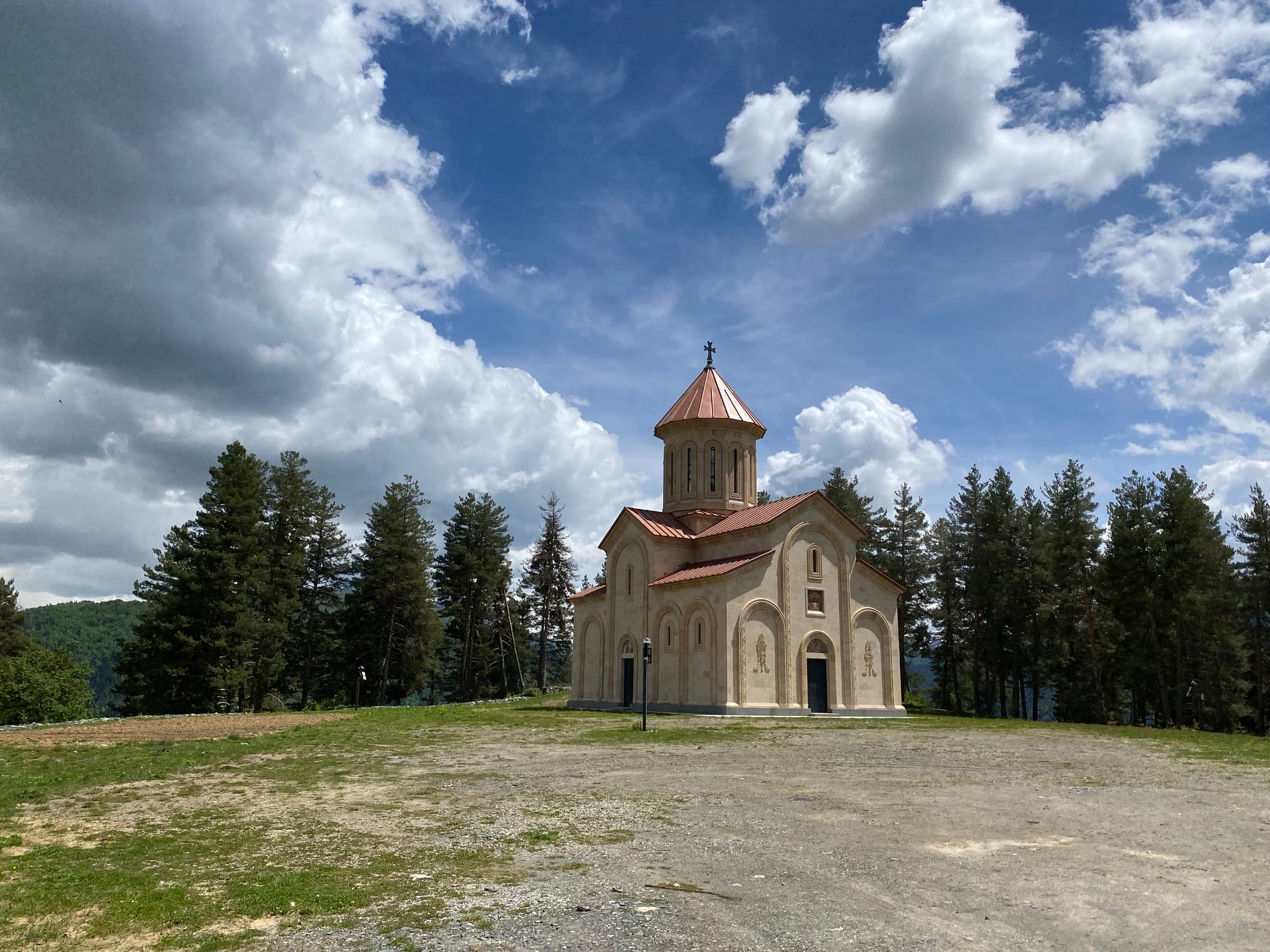
From there a well-defined path led to the village of Tsvirmi. I refilled my water at a spring above the village. Tsvirmi, being off the main Mestia-Ushguli route, sees very few visitors. I didn’t visit the village either, turning around at a viewpoint. I was able to visit their new church, on a hill north of town.
I retraced my steps to the spring, followed a recently paved road to Ughviri Pass, then descended to Chvabiani. Some time and elevation could have been saved here, at the expense of views, by hiking along a dirt road through the forest to the Tetnuldi ski resort.
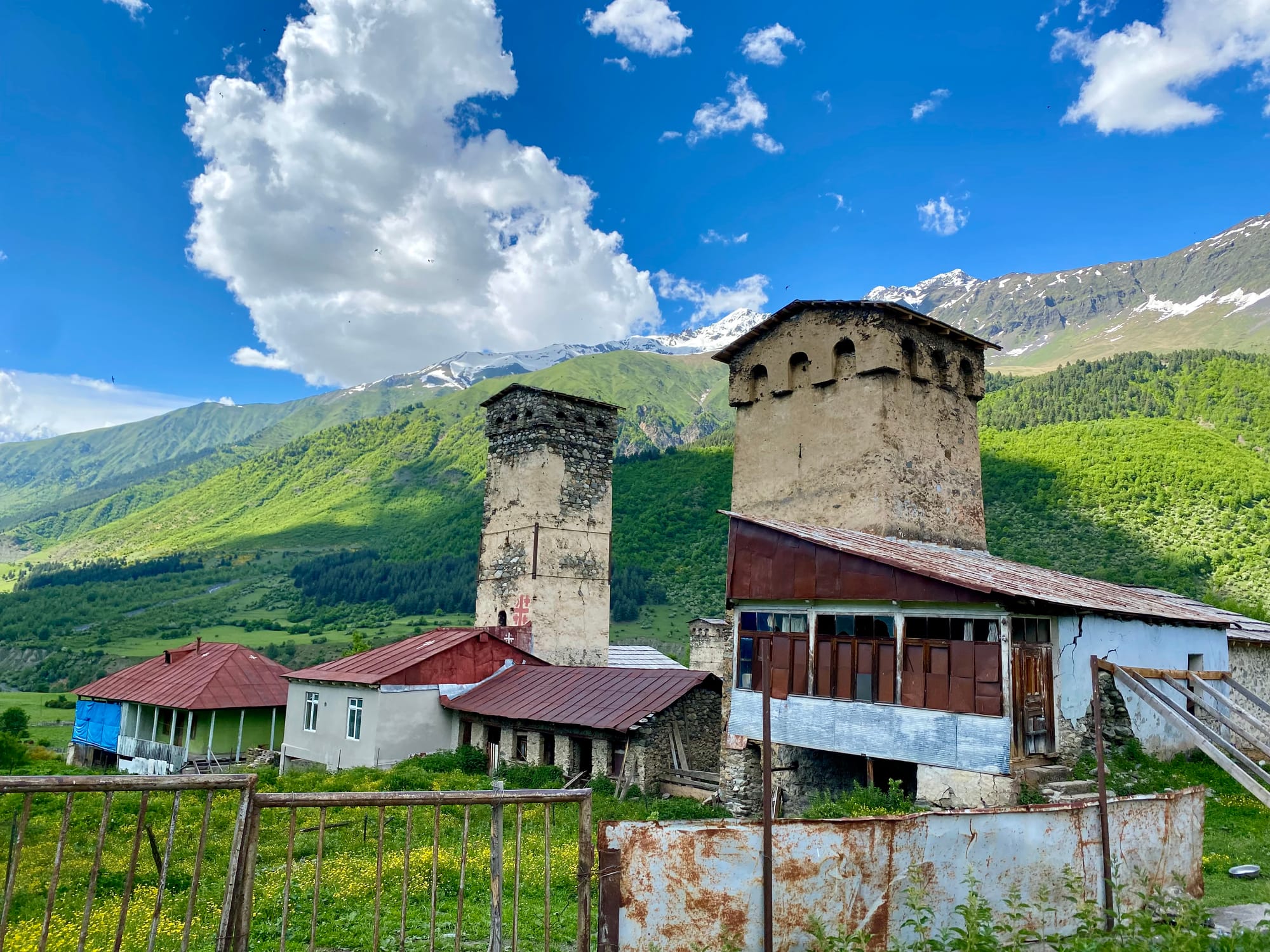
Chvabiani was the first of several medieval-feeling villages. From there, the trail climbs up the mountain to the south through an area used for grazing. Cows blocked the way several times. Eventually the trail connects with the ski resort road. At this intersection, there is a cafe and a cabin. The cabin owner was gardening at 2275 metres!
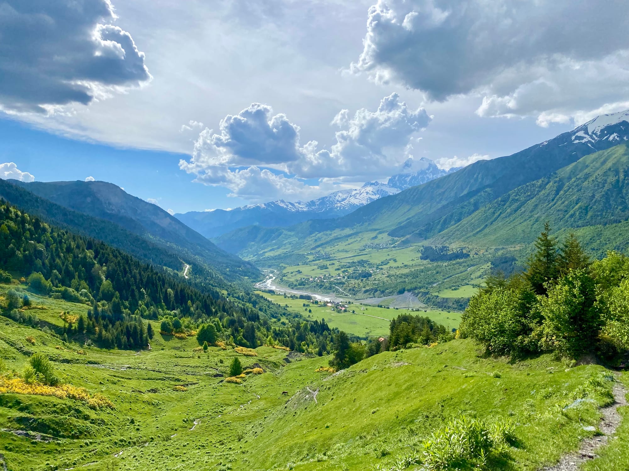
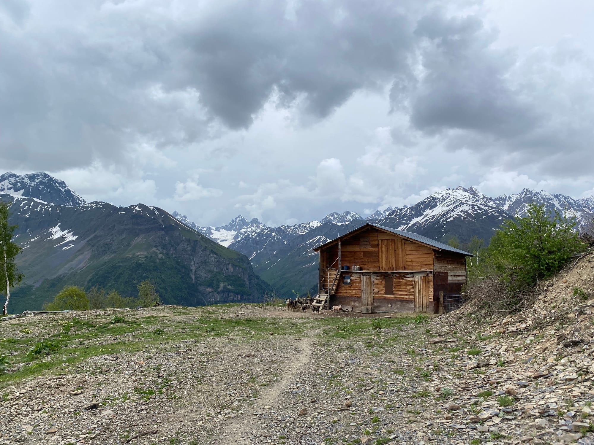
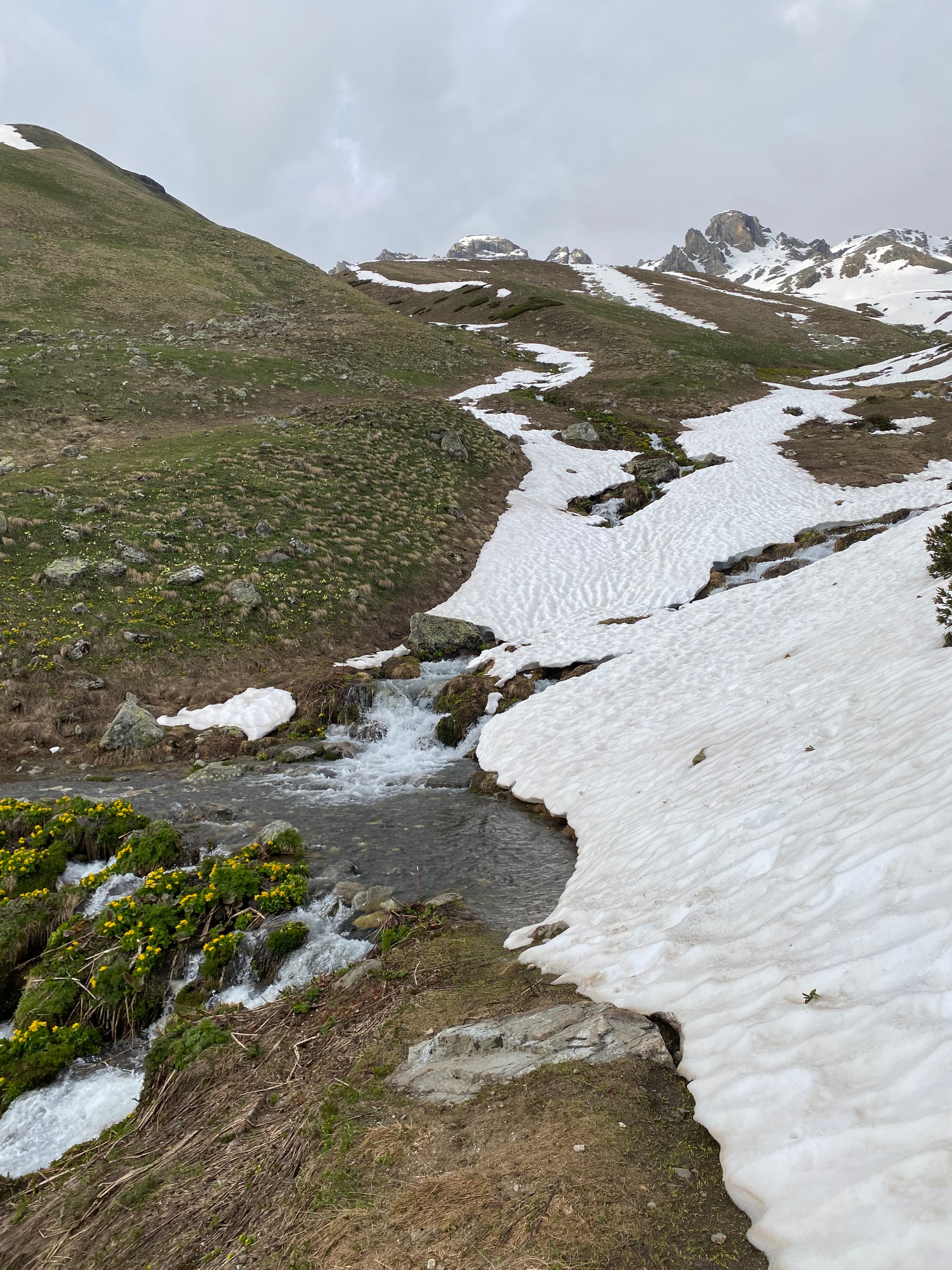
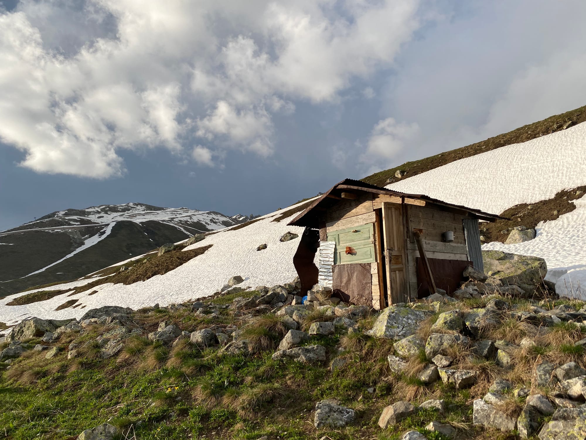
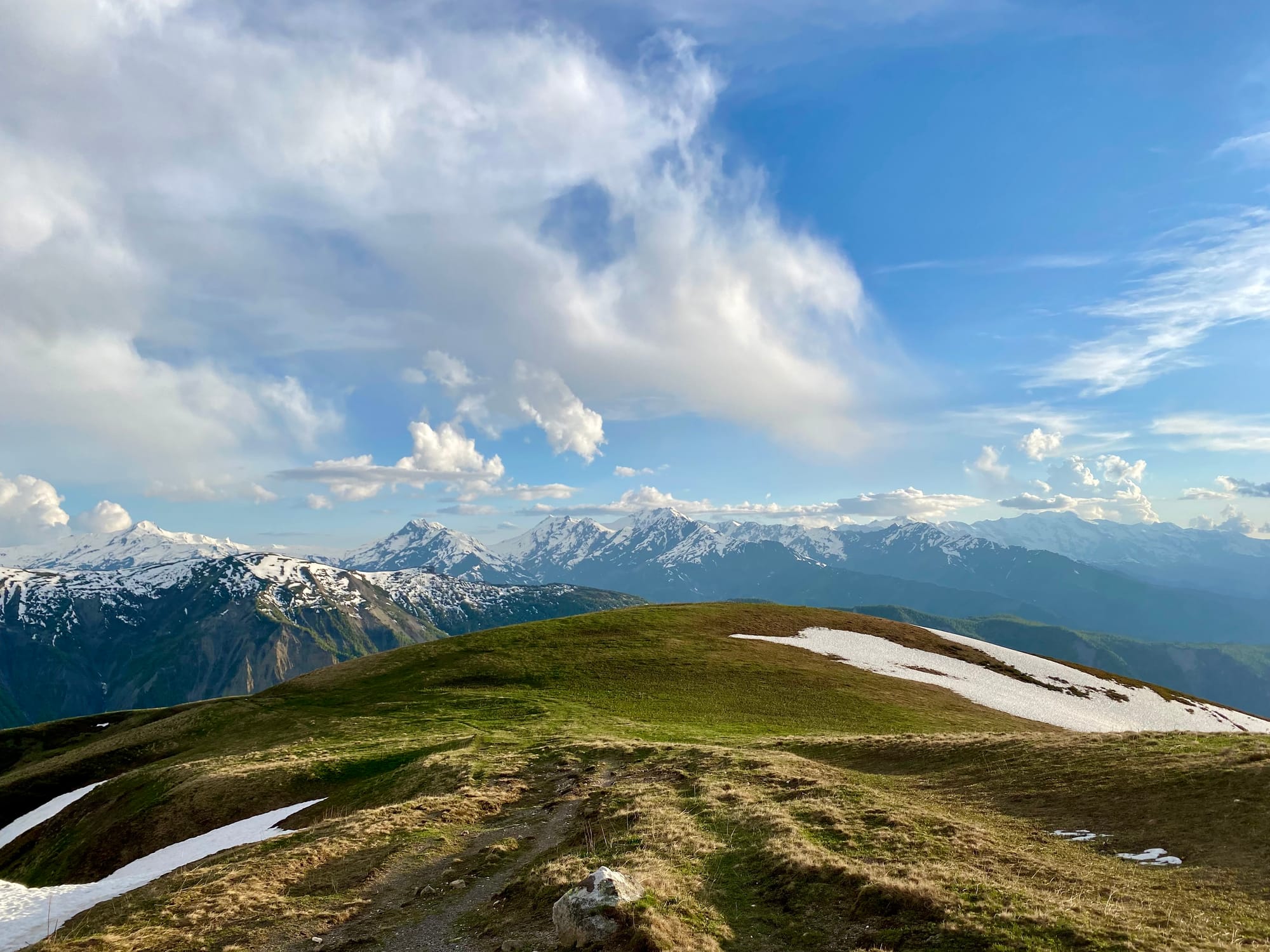
I followed the ski resort road for a couple kilometres. The main route leaves the resort at 2470 metres and descends to the village of Adishi. There is apparently a bar on this route. Instead I took the upper route, which leaves the road and at 2680 metres, traversing some stunning alpine meadows. One creek crossing was somewhat difficult to negotiate. I camped at a flat spot just before the descent to Adishi.
June 4
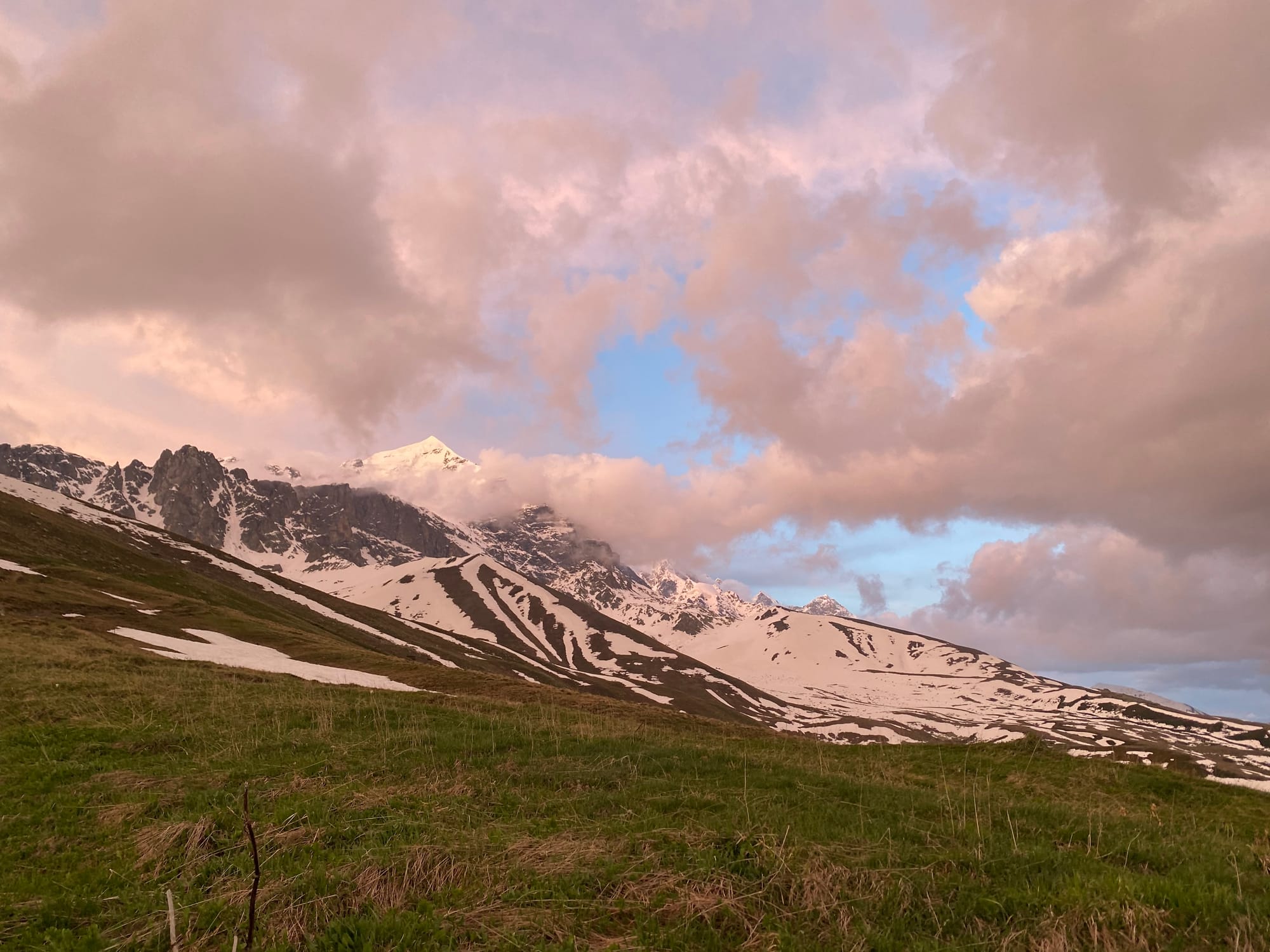
When I woke up, the clouds had cleared, and Mt. Tetnuldi, Ushba, and Shkhara could be seen clearly.

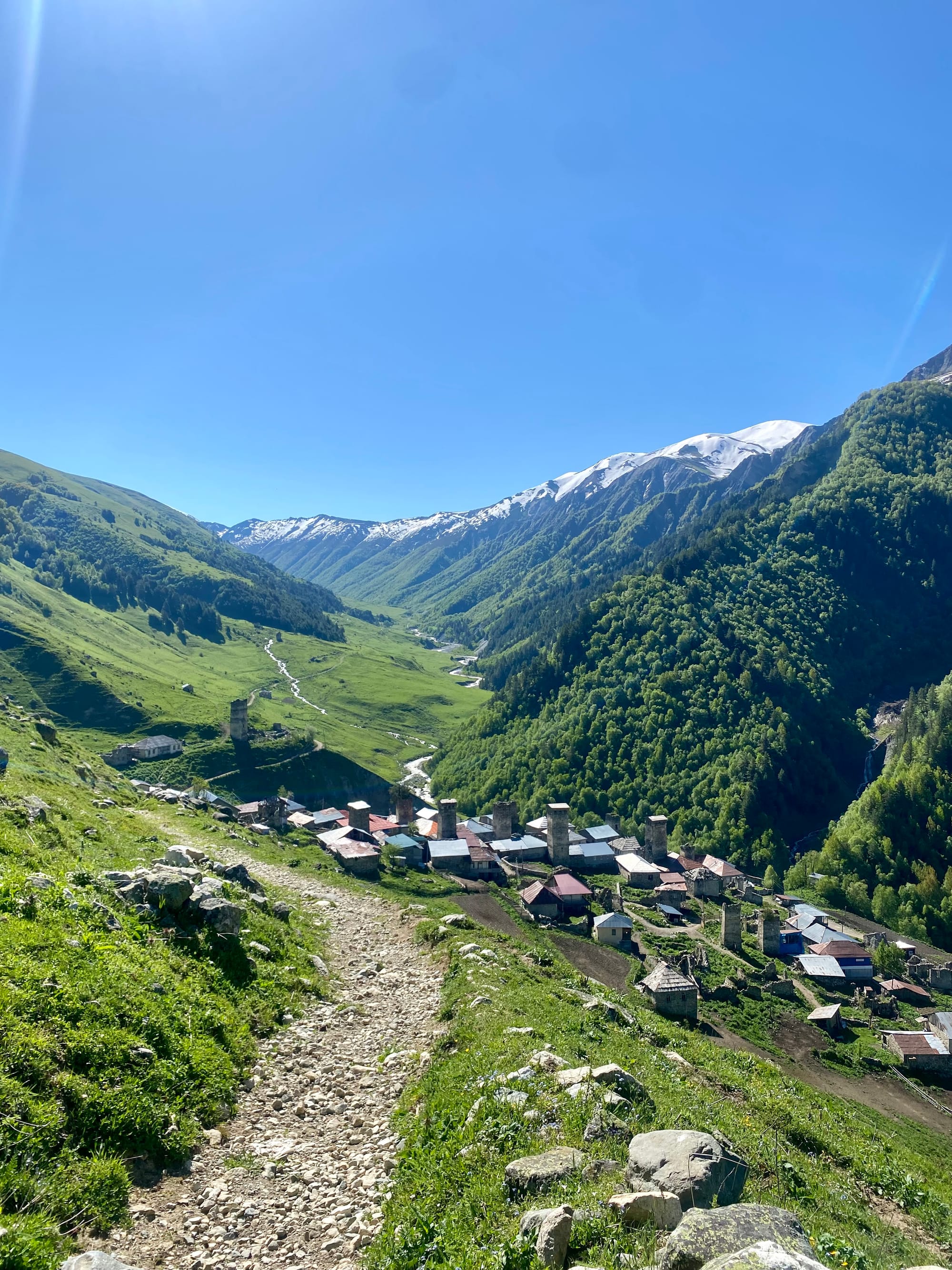
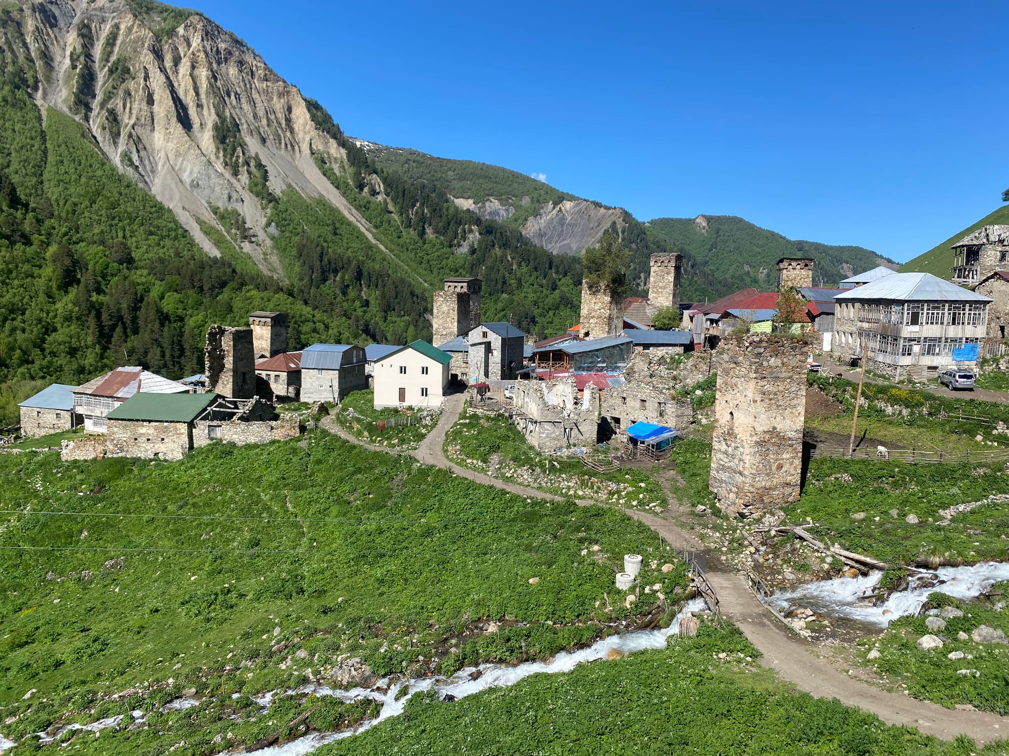
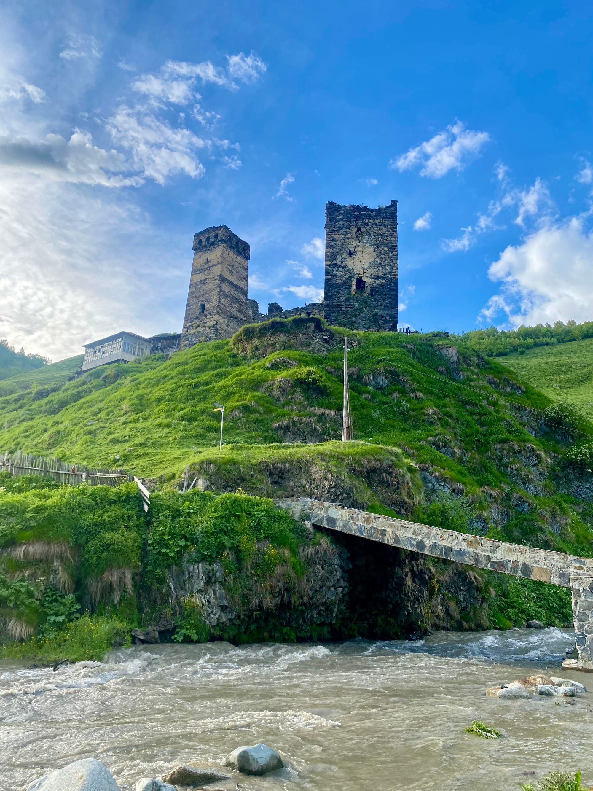
A steep descent to the village of Adishi woke me up. The village was hidden behind the slope and I didn’t see it until I was almost there. From Adishi, the trail follows the valley, passing many Svan towers in various states of disrepair. These towers date back to the 9th to 12th centuries and were used for defense. The full traverse passes hundreds of these towers, giving the area a medieval feel. From time immemorial, local farmers have used this route to take cattle to graze. At one point I passed a farmer leading a cow.
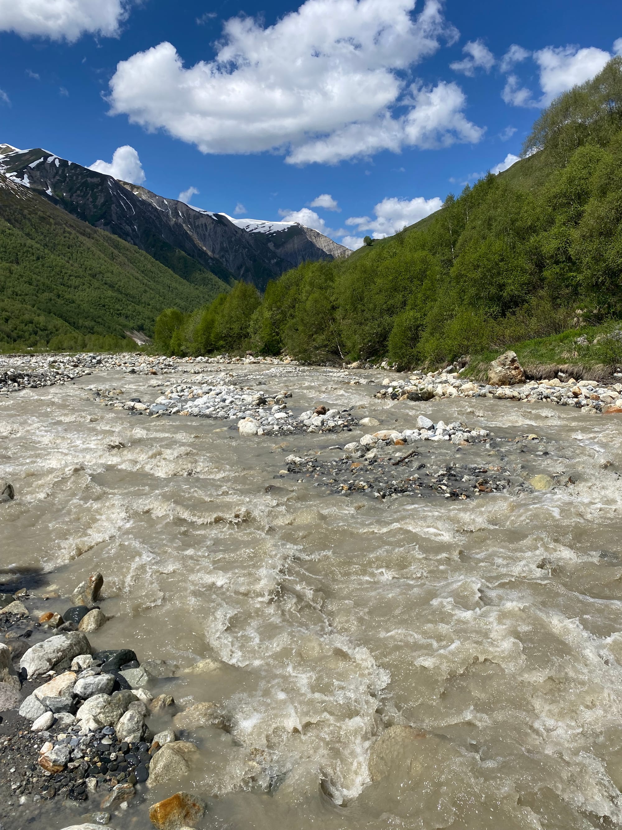
About 6km east of Adishi, the trail crosses a glacial river. It being a hot day in June, the river was quite deep. Some locals wait at the riverside with horses to take you across for a (high) fee. I hiked upstream to find a place to cross, eventually reaching a spot where the river branches, wjere two Belgian hikers were trying to ford the river. We barely made it across: the water went up to my knees at one point, and I was very grateful to have a hiking stick with me. Eventually we reached the other bank and cut back to the trail.
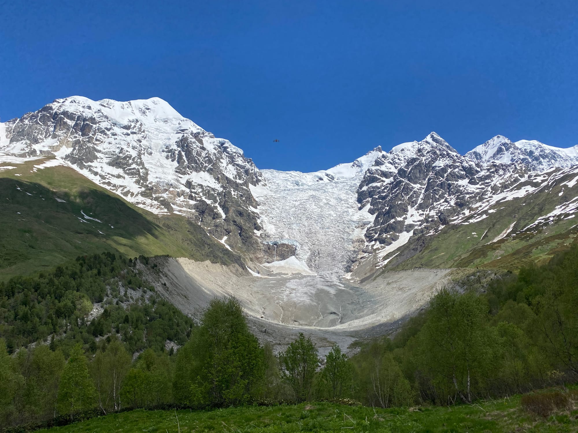
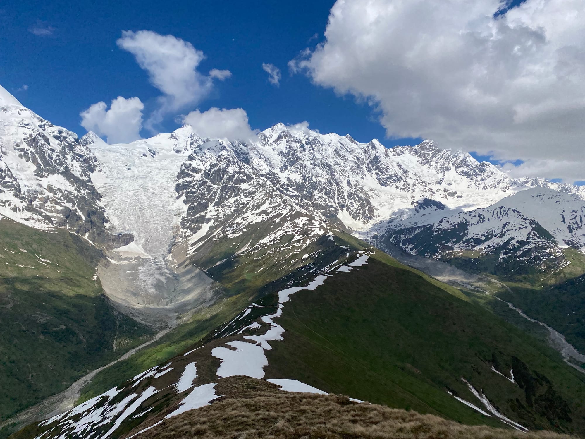
Then the ascent to Chkhunderi pass, normally the high point of the trek, began. About 1/3 of the way up, there was an excellent viewpoint of the glacier.
Past that, the trail was partly covered in snow. Along the way, I passed many hikers that had stayed at guesthouses in Adishi. Everyone regrouped at the top of the pass for lunch, where we were treated to views of the imposing Khalde Wall, 11 km long and over 5000 m high in places, which includes Shkhara, Georgia’s highest point.
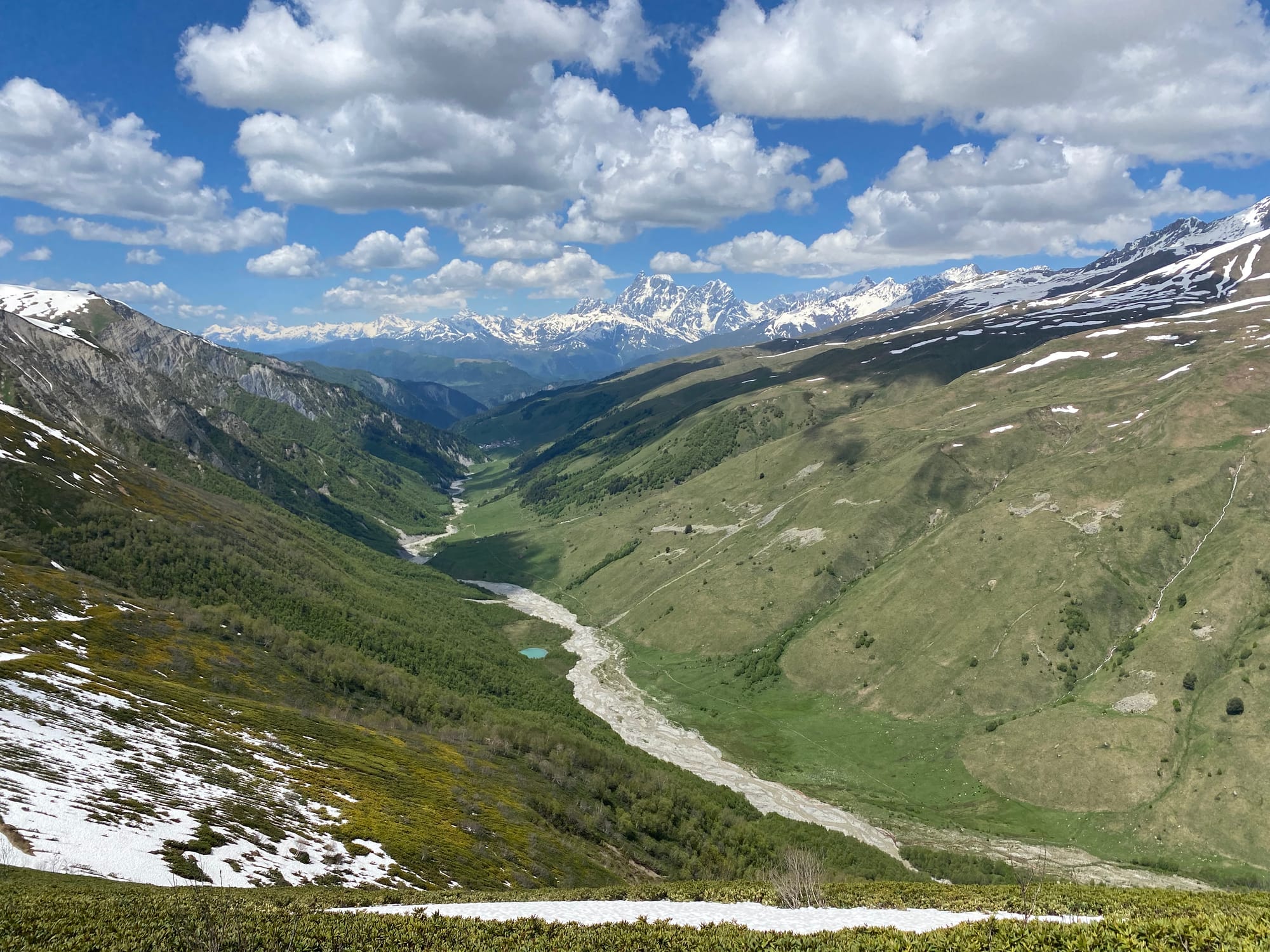
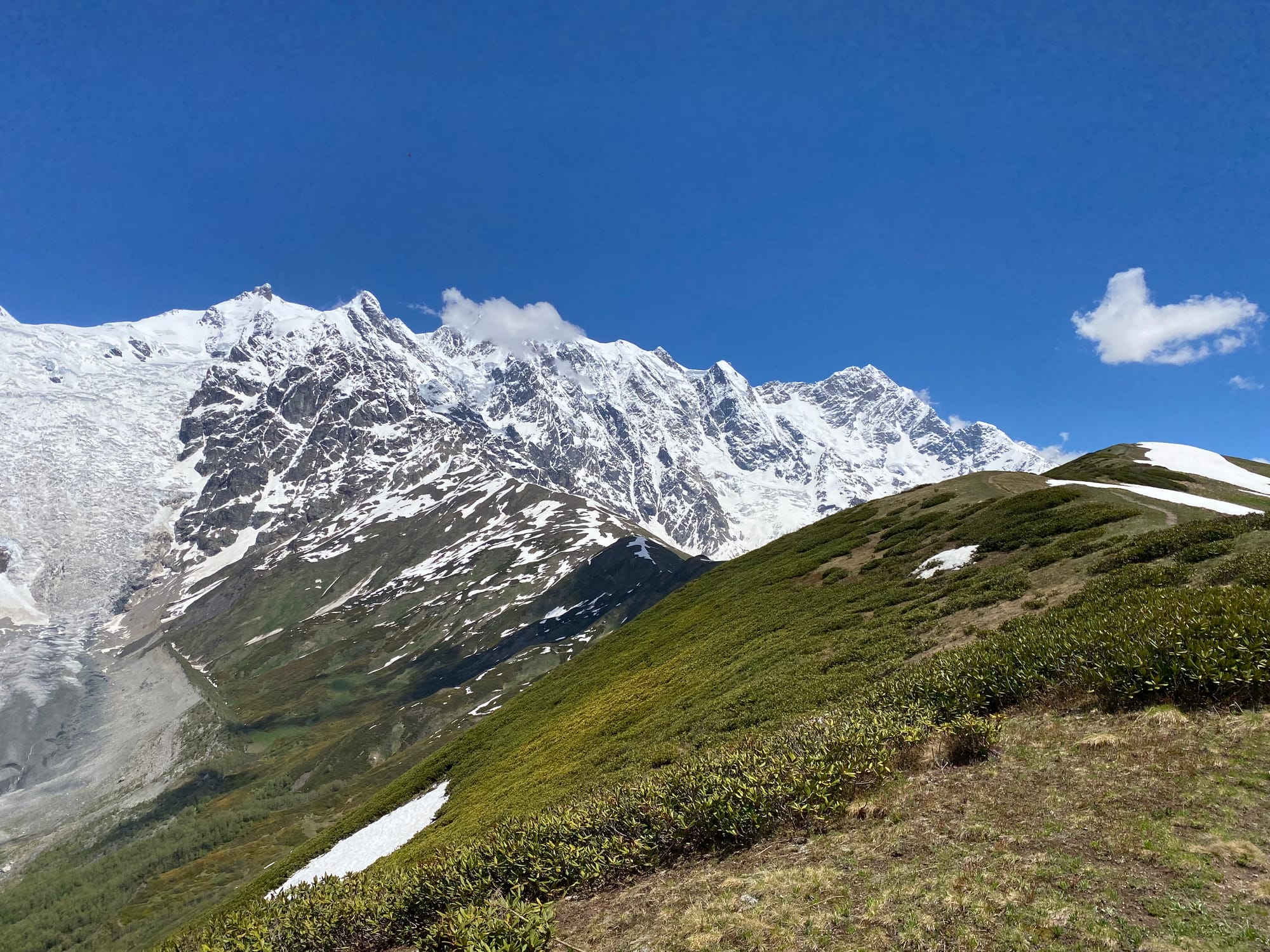
The regular route descends the other side of Chkhunderi Pass, but I wanted to take a shortcut over the peak of Chkhunderi (3036 m), following trails which would connect to the trek at Lalkhori. Apparently the summit has even better views of the Khalde Wall and surrounding mountains.
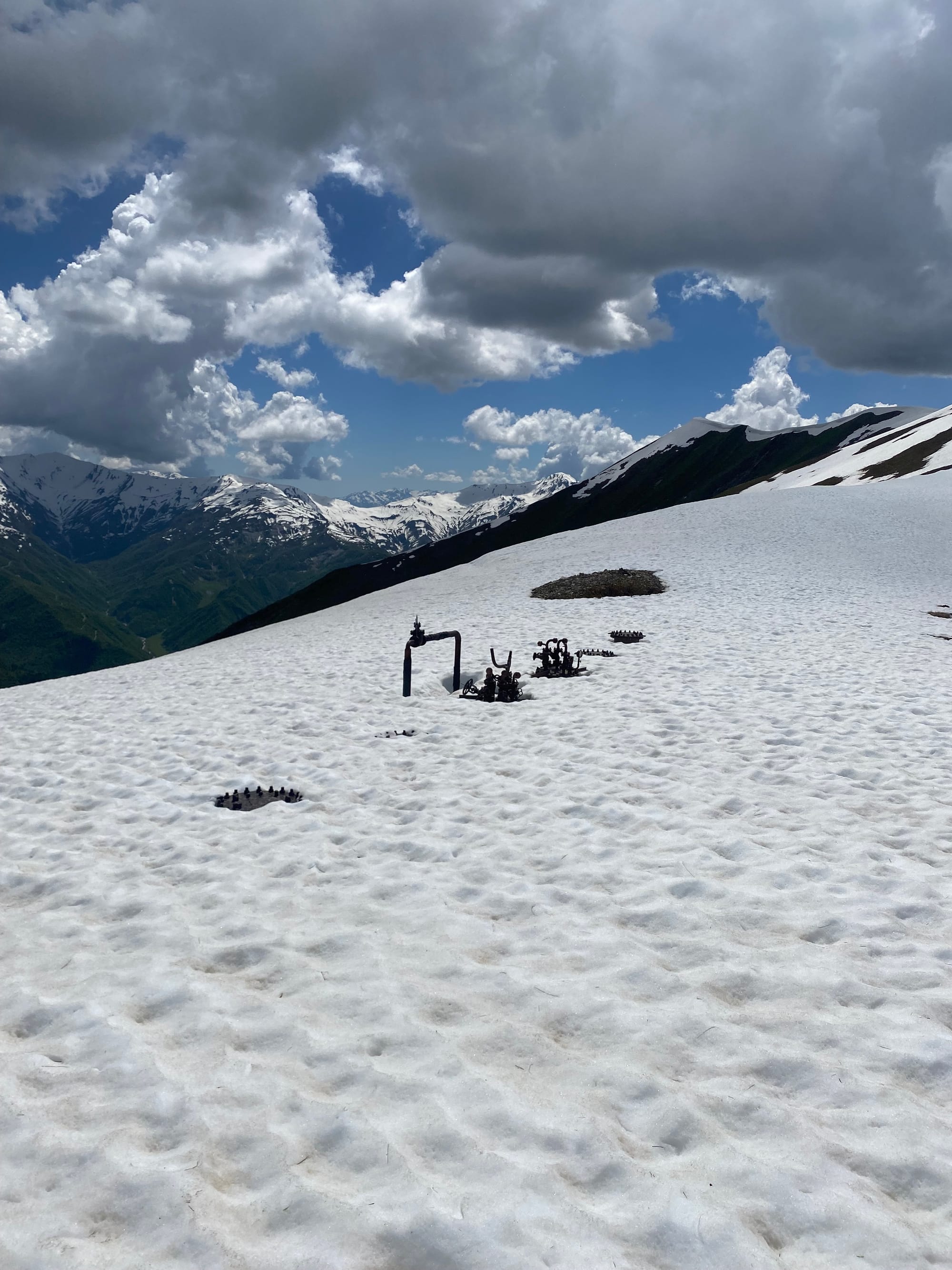
The ridge was mostly snow-covered, but the snow was firm enough and there were several bald patches. After about two kilometres, a storm started to roll in, and it began hailing quite heavily. Afternoon thunderstorms are very common in this region, and I didn’t want to get caught on a highpoint in a storm, so I had to turn around and head down the northern side of the pass. Of course, the storm cleared as soon as I reached the valley floor, and clear skies over Chkhunderi taunted me for the rest of the day. Oh well.
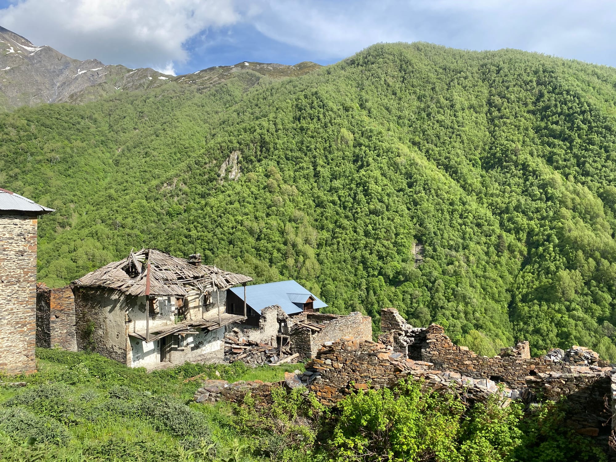
Now I was back on the main Mestia-Ushguli route. I traveled down a valley past several shepherds’ huts before reaching the mostly-abandoned village of Khalde, destroyed by the Russians in 1876 as punishment for a rebellion. Only ruins (and a couple guesthouses) remain.
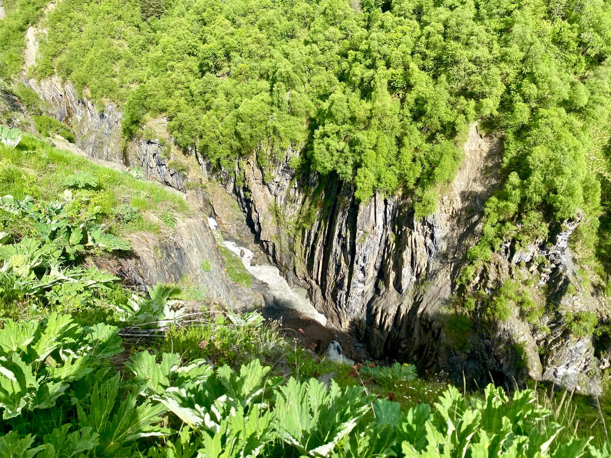
Past Khalde, the river becomes a canyon, and the trail is close to the canyon rim at times.
There is a cluster of villages - Iprari, Lalkhori, and Dayberi - where the valley ends. I had some khachapuri (cheese bread) and beer in a bar there - another nice thing about this trek - then continued onward. After a kilometre or so on the main road I climbed above the village of Dayberi, finding a good campsite near a creek.
June 5
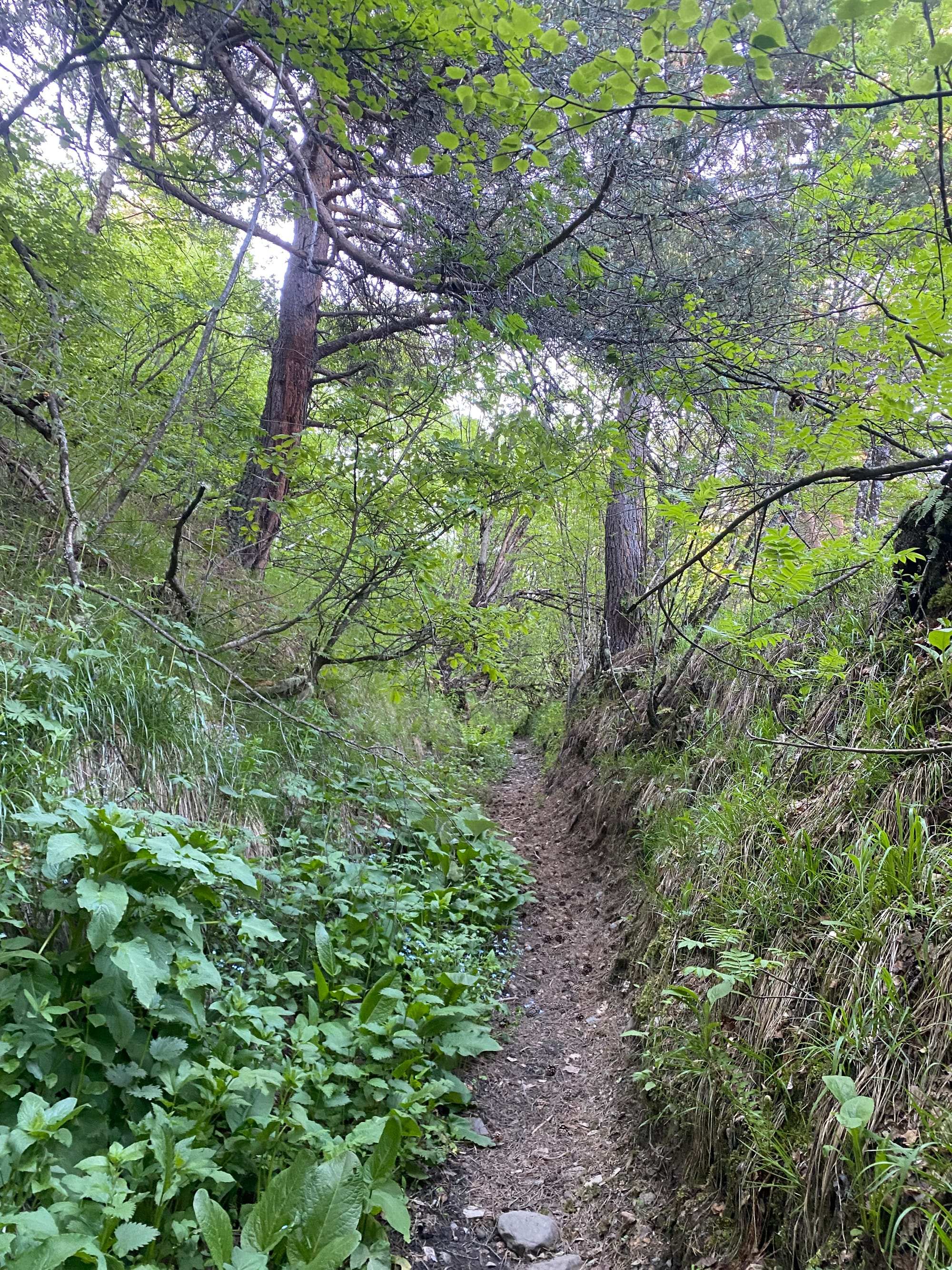
Ushguli, my destination, was seven kilometres away. This part of the trail follows ancient paths that have become canyons through centuries of use. The main road is hundreds of metres below.
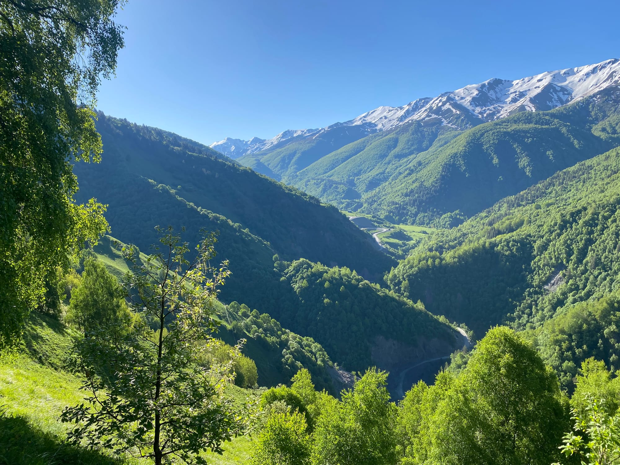
Eventually the trail joins the main road about 3 kilometres before Ushguli.
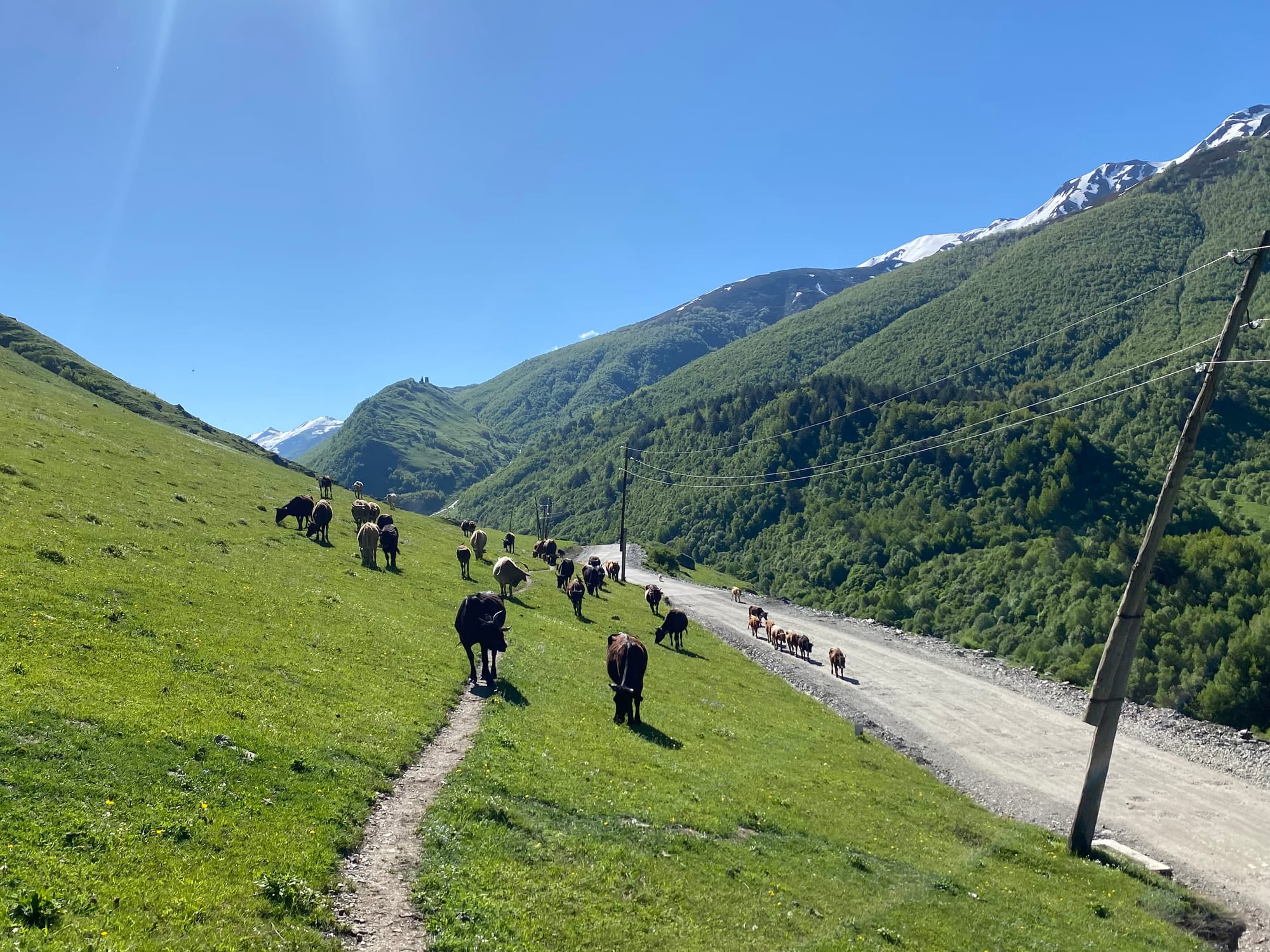
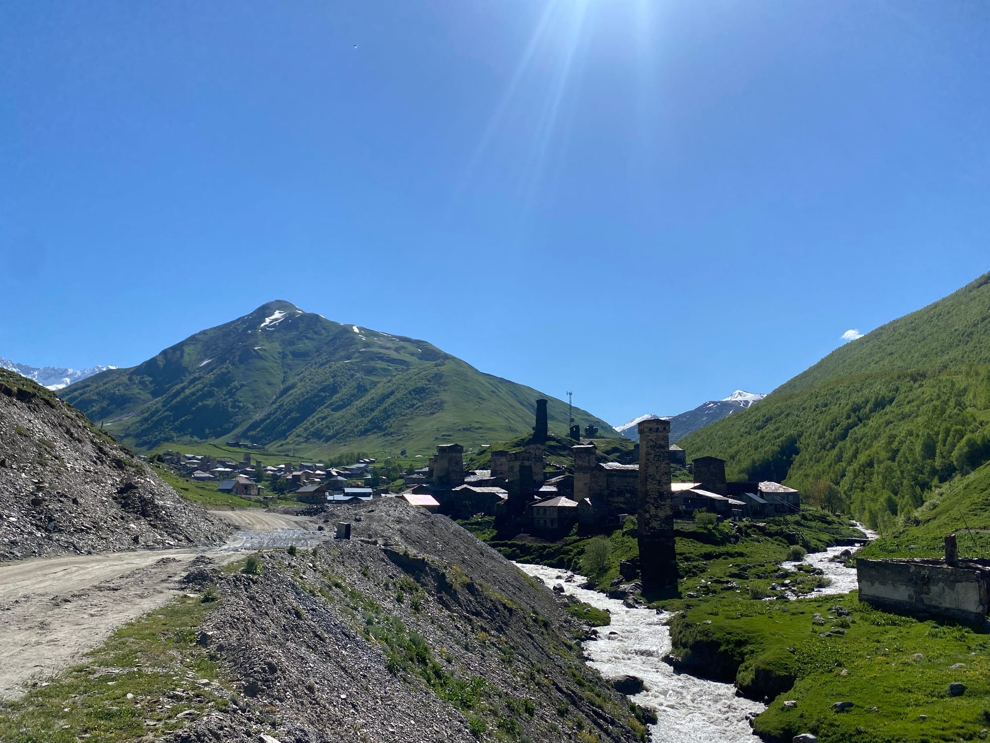
Soon I was walking into Ushguli, said to be the highest inhabited village in Europe (it depends on how you define “inhabited” and Europe). After a well deserved drink at a cafe, I set off on a bonus hike to the Chubedishi viewpoint.


Member discussion