Melvin Peak
Date: October 17, 2024
Distance: 12.57km
Elevation gain: 1291m
Melvin Peak is one of the more obscure summits in the Downton Creek area, and that’s saying something. The reward/effort ratio is perhaps not quite as good as other nearby peaks, but Melvin still offers superb views and relatively easy alpine access.
Downton Creek has been plagued with access problems for the past few years. The bridge at the start of the road was deemed unsafe several years ago and blocked with large boulders. Occasionally, locals would move the boulders, enabling access. In 2024 construction work began on the bridge in preparation for a mining operation, so it’s now drivable, but according to the current rumour mill, the road will be gated once the bridge is finished. At the moment the bridge is fixed but the gate has not been installed yet.
There was a short window of good weather on Thursday before an atmospheric river was scheduled to sweep in. David and Rob from the SWBC Peakbaggers group were also free on Thursday so we made a plan to hike to Melvin. Somehow I slept through both of my alarms, which delayed things by about an hour, but we eventually met up and started driving north. I’d forgotten just how far Downton Creek is: I thought we were almost there when we passed the Joffre parking lot (which was surprisingly empty), but we still had another 45 minutes of driving to go.
There was no gate and the infamous bridge was in excellent shape. The first few kilometres of the road have been recently improved for the mining project. After about 7km a brand-new spur branches uphill to the right, but we stayed on the main branch to the left. We followed the main branch to a large parking area at 50.555918, -122.244599, about 3.3km past the Holly Lake turnoff.
The road got narrower and slightly rougher. Medium clearance would be needed, and there was some mild pinstriping. At one especially narrow point, I had a brief moment of panic when I heard an extremely high-pitched scraping sound, as if someone was keying the car! It turned out to be Rob eating oatmeal with a very scratchy metal spoon.
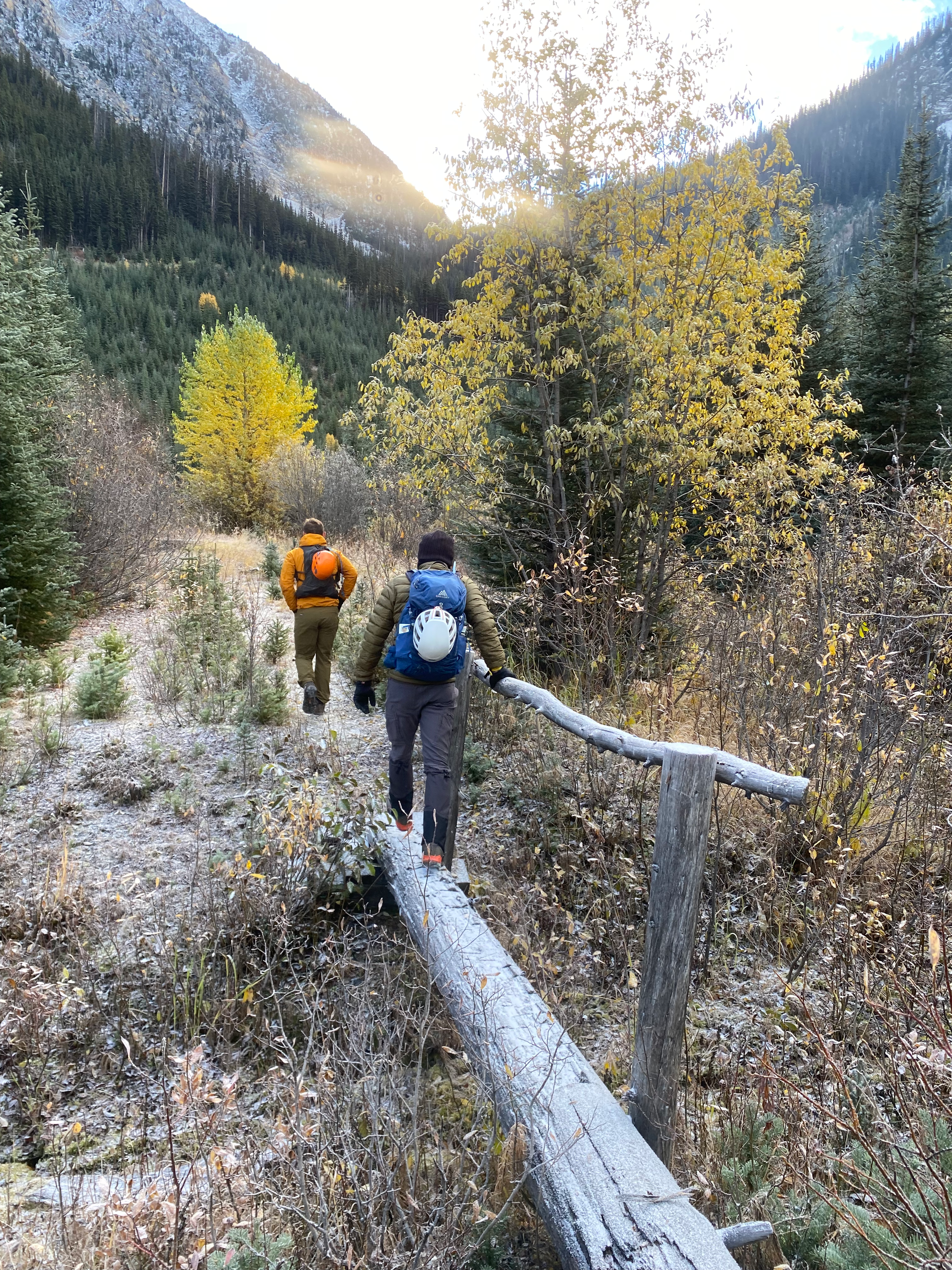
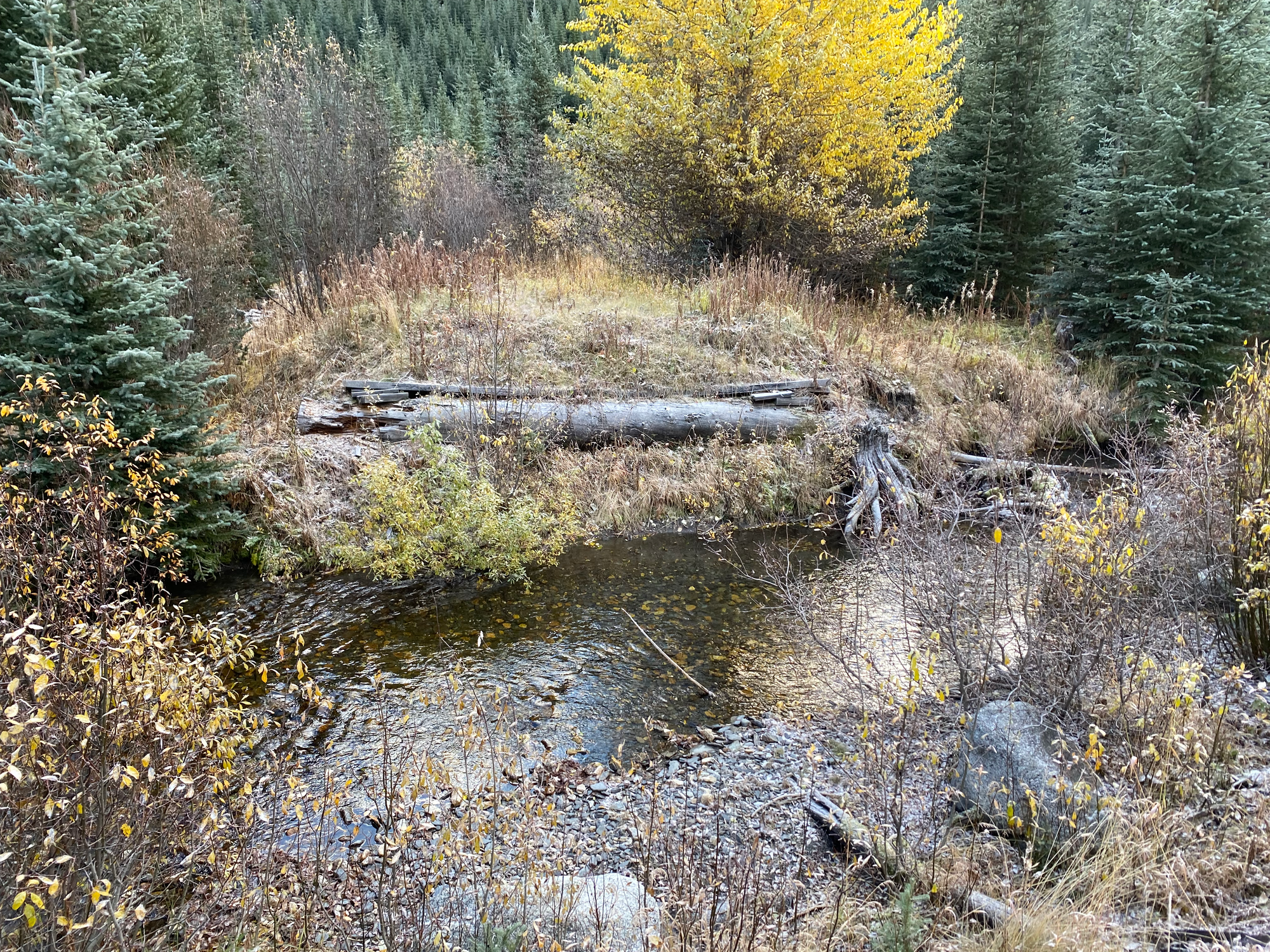
From the parking lot, we headed east on an old FSR. After about 150m we had to cross Downton Creek. I tried to rock-hop to a large log, but the log was covered in ice and the landing was not successful. Luckily the creek was only a few inches deep.
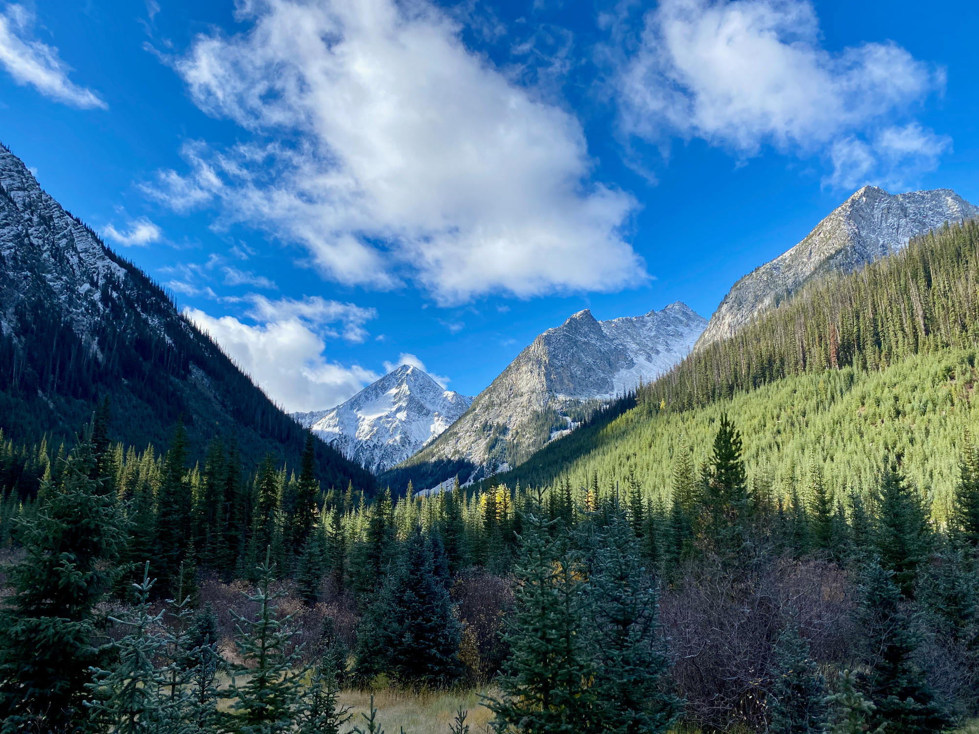
Past the creek we started getting views of Downton, Lost, Found, and many other peaks, all covered in a light dusting of snow.
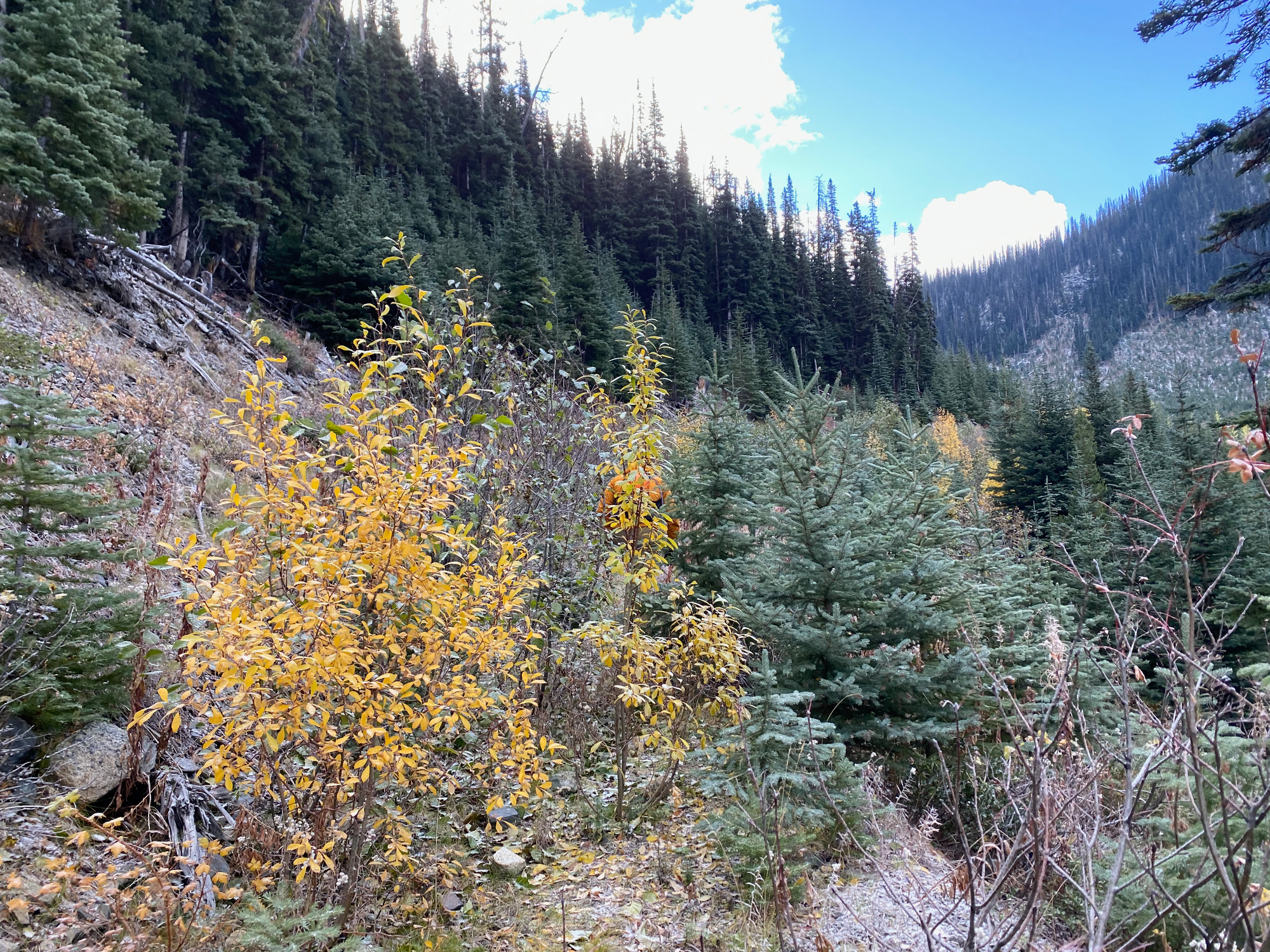
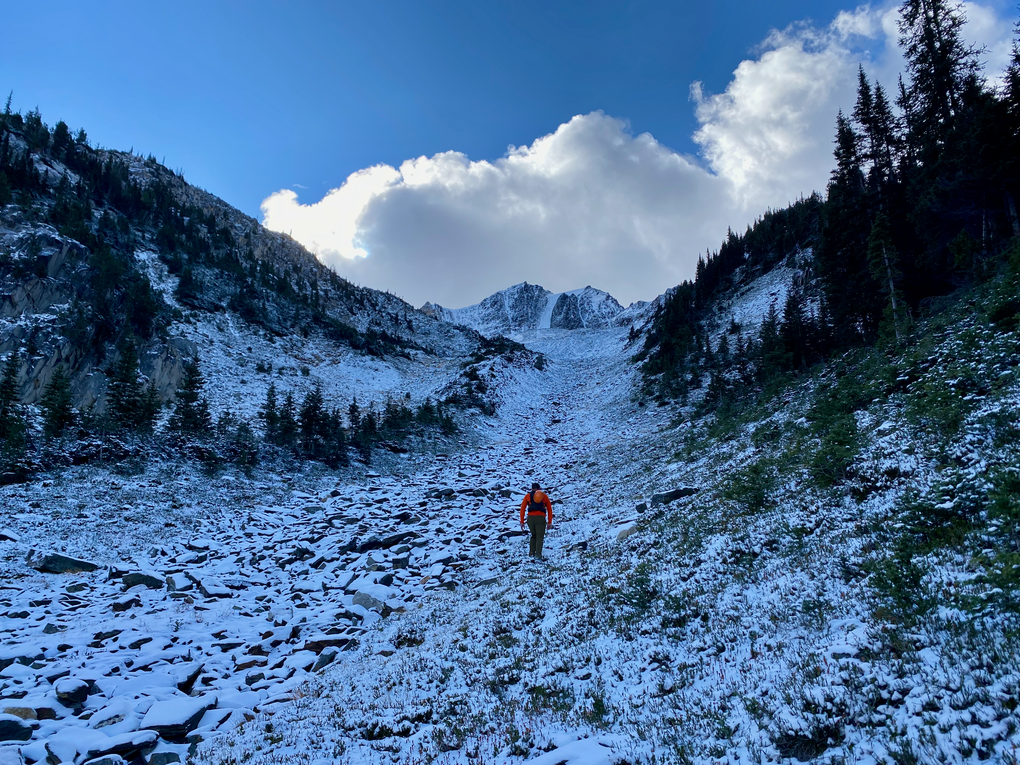
We followed the old Viola Lake Trail to its namesake lake. It looks like someone put a lot of effort into this trail about 5-10 years ago, only for it to be abandoned when the road was blocked. The trail’s well-flagged and mostly well-defined, but there were several places where it was completely overgrown, leading us off-route, especially on the lower part which follows the old FSR through a regenerating cutblock. Eventually the trail left the cutblock and headed south along a creek valley. Viola Lake is actually located in a bowl above the trail, so we eventually had to head east up a small valley to reach the lake.
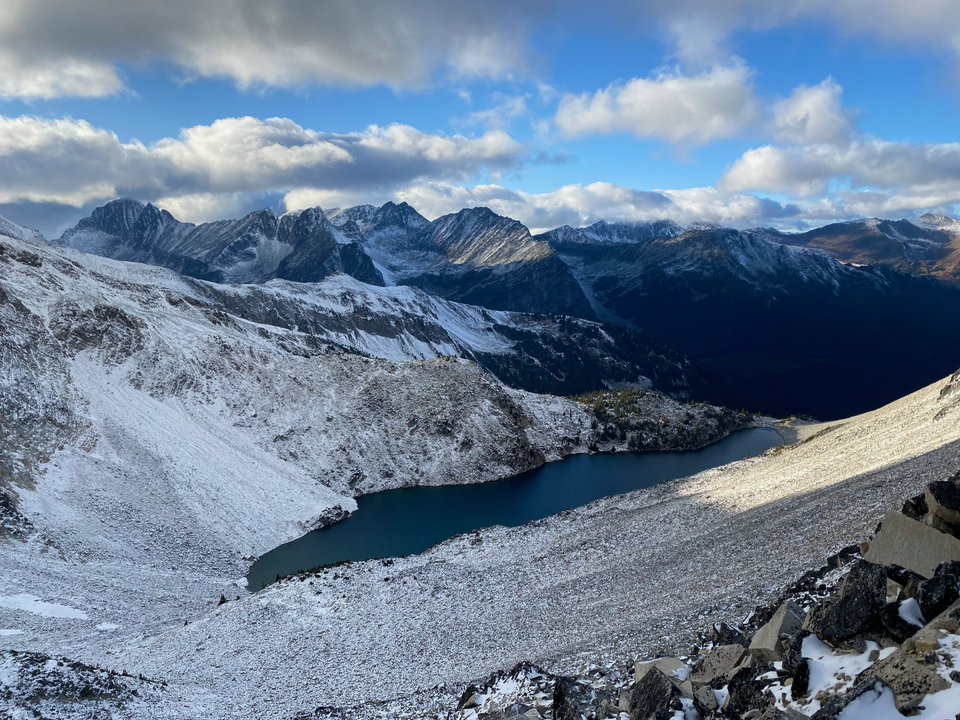
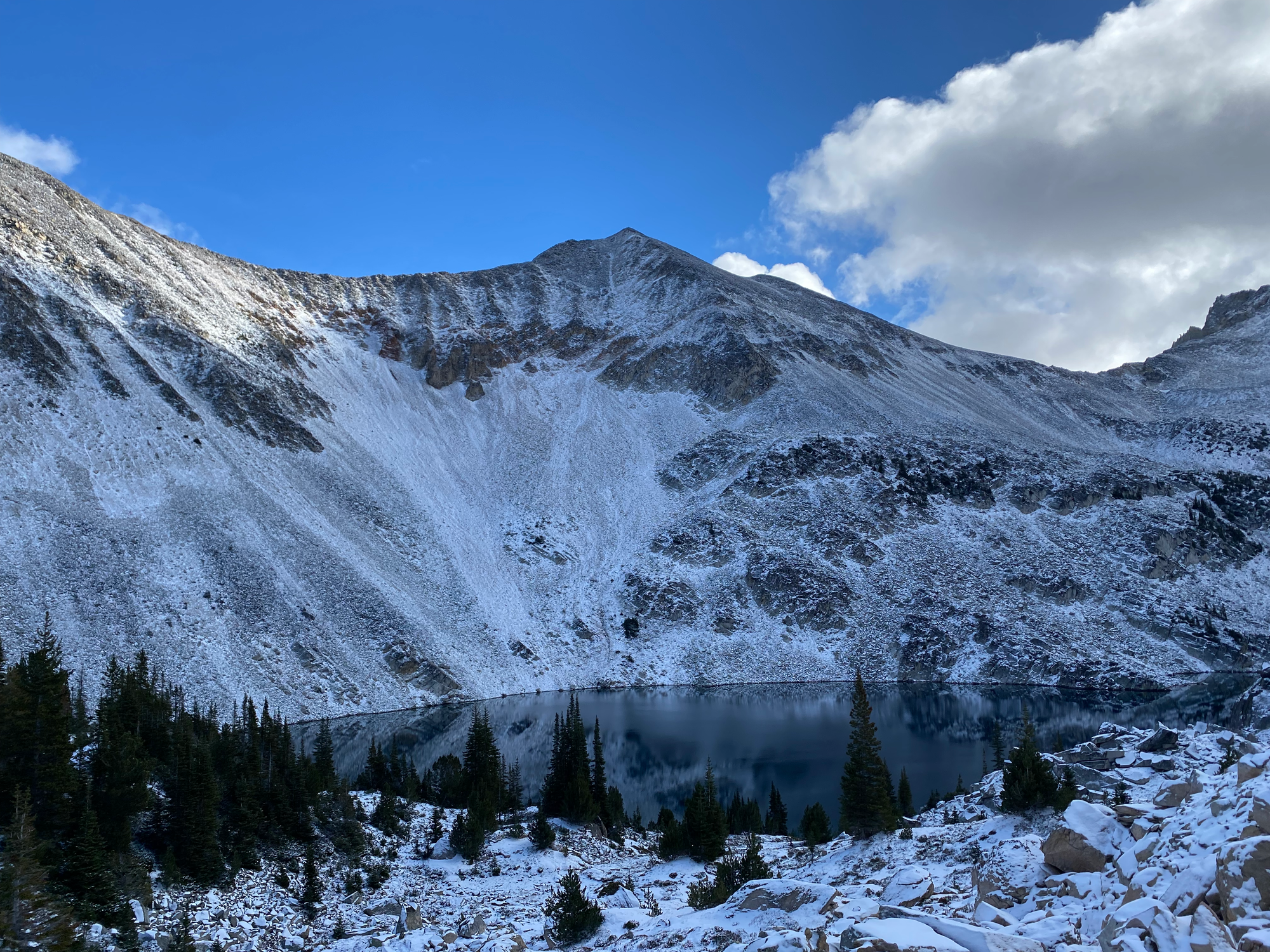
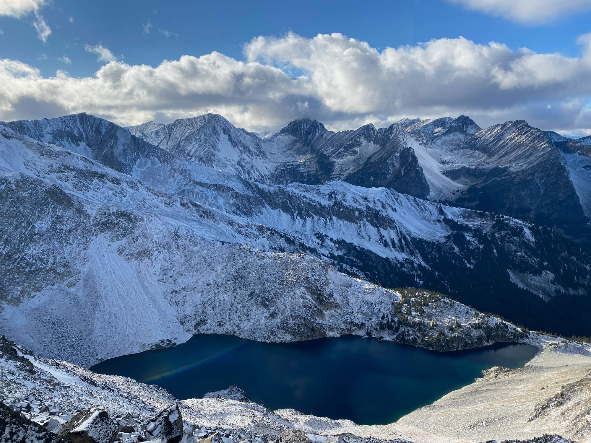
The trail spits you out at a saddle on the western side of the lake. From here we admired the lake and the surrounding snow-covered peaks.
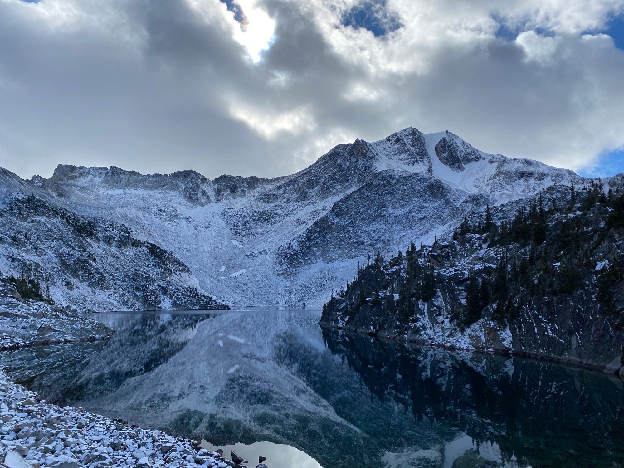
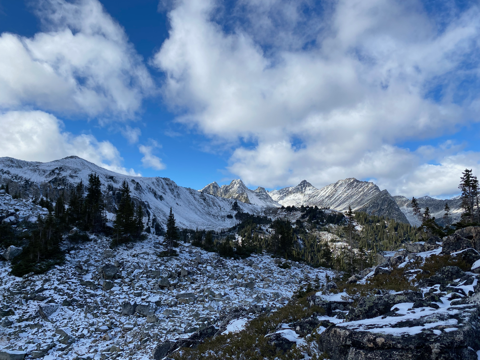
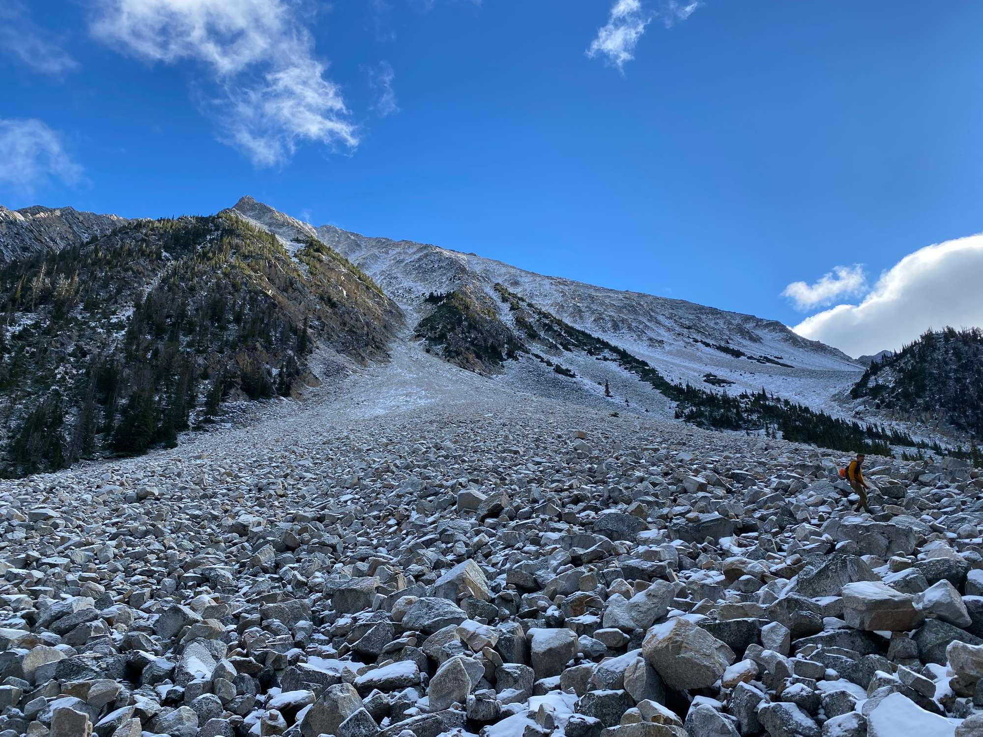
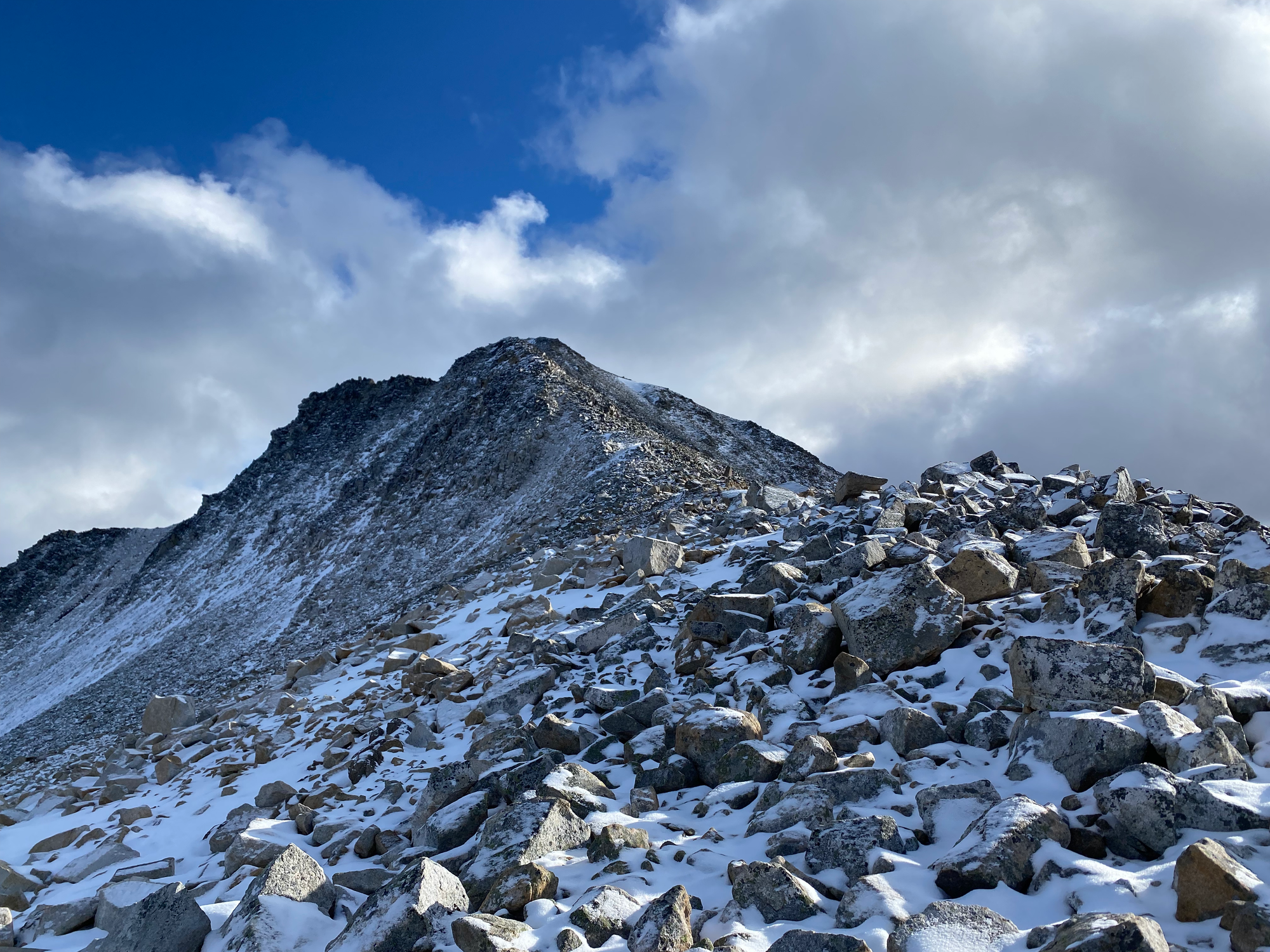
The western ridge of Melvin Peak is a large boulder field, which had a light dusting of snow. None of the routes up looked especially appealing, but a gully directly east of the lake’s southern tip looked like the most doable, so we went up there. The boulder field got steeper as we ascended, and it was difficult not to dislodge rocks. Helmets are needed here. The layer of snow on top of the boulders was also annoying. We made it into the gully, but a ridge to its north offered a more solid route, so we went there instead.
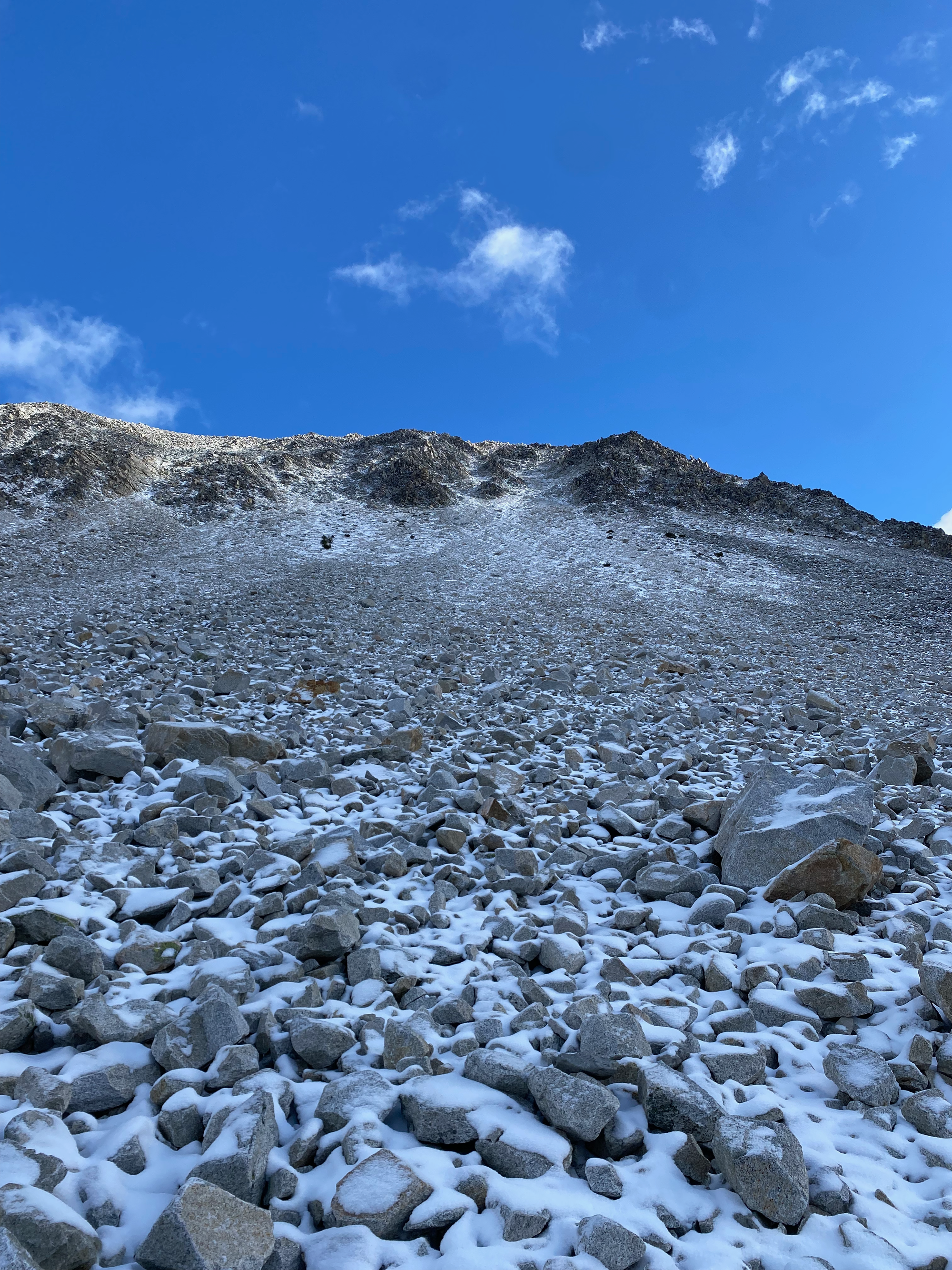
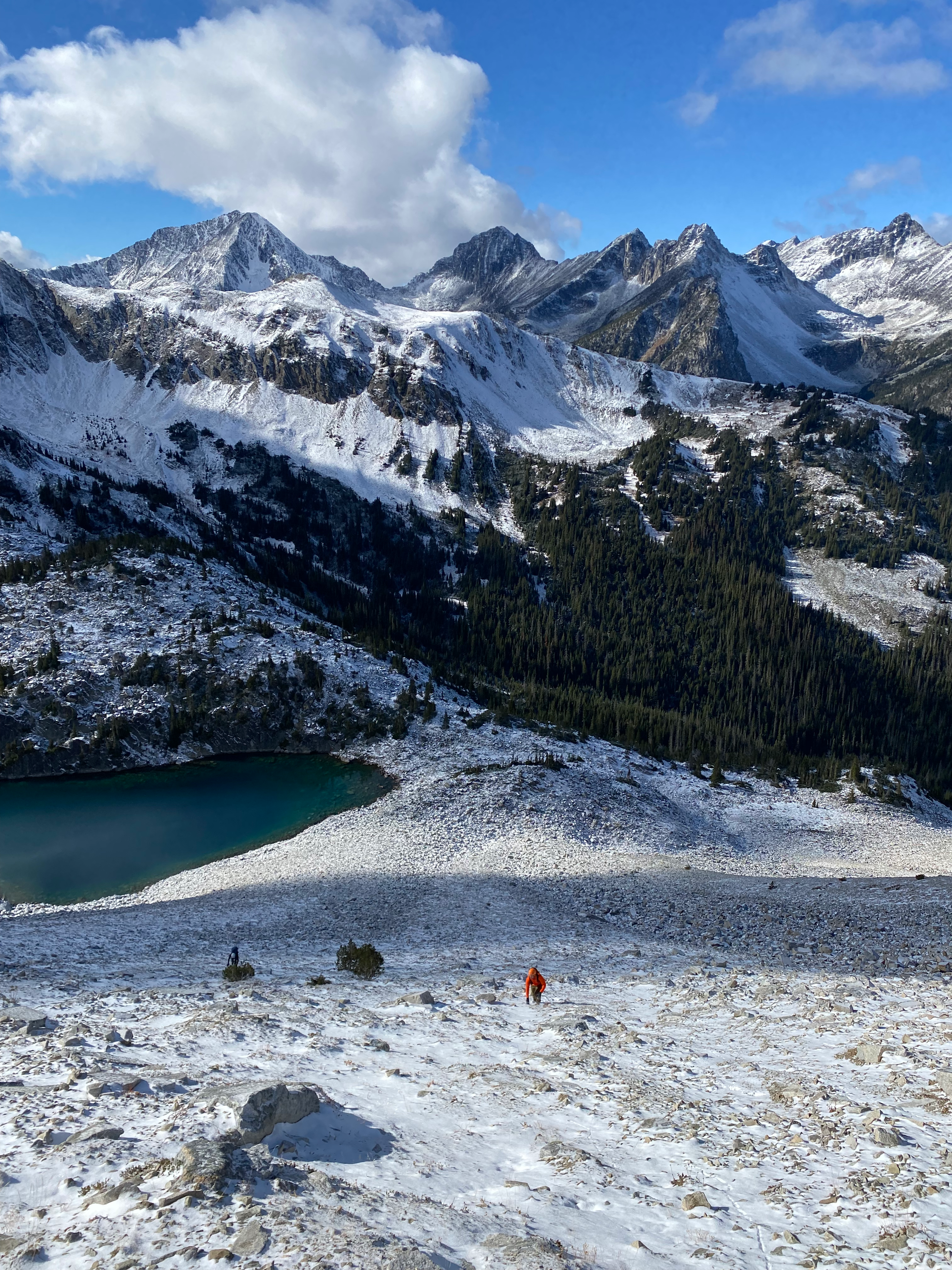
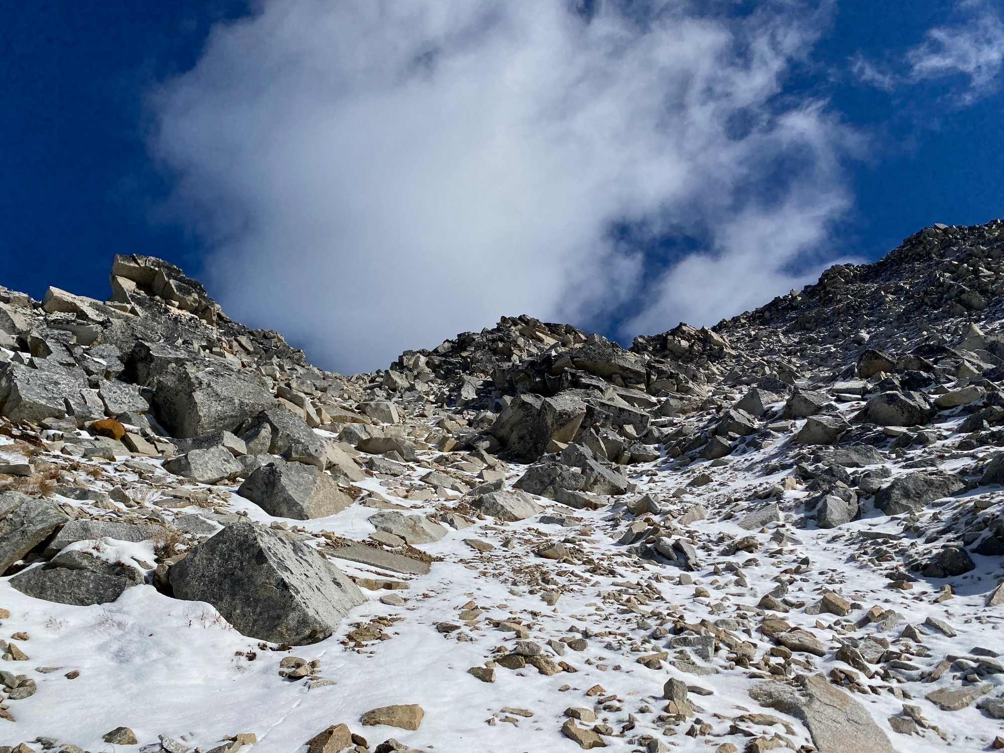
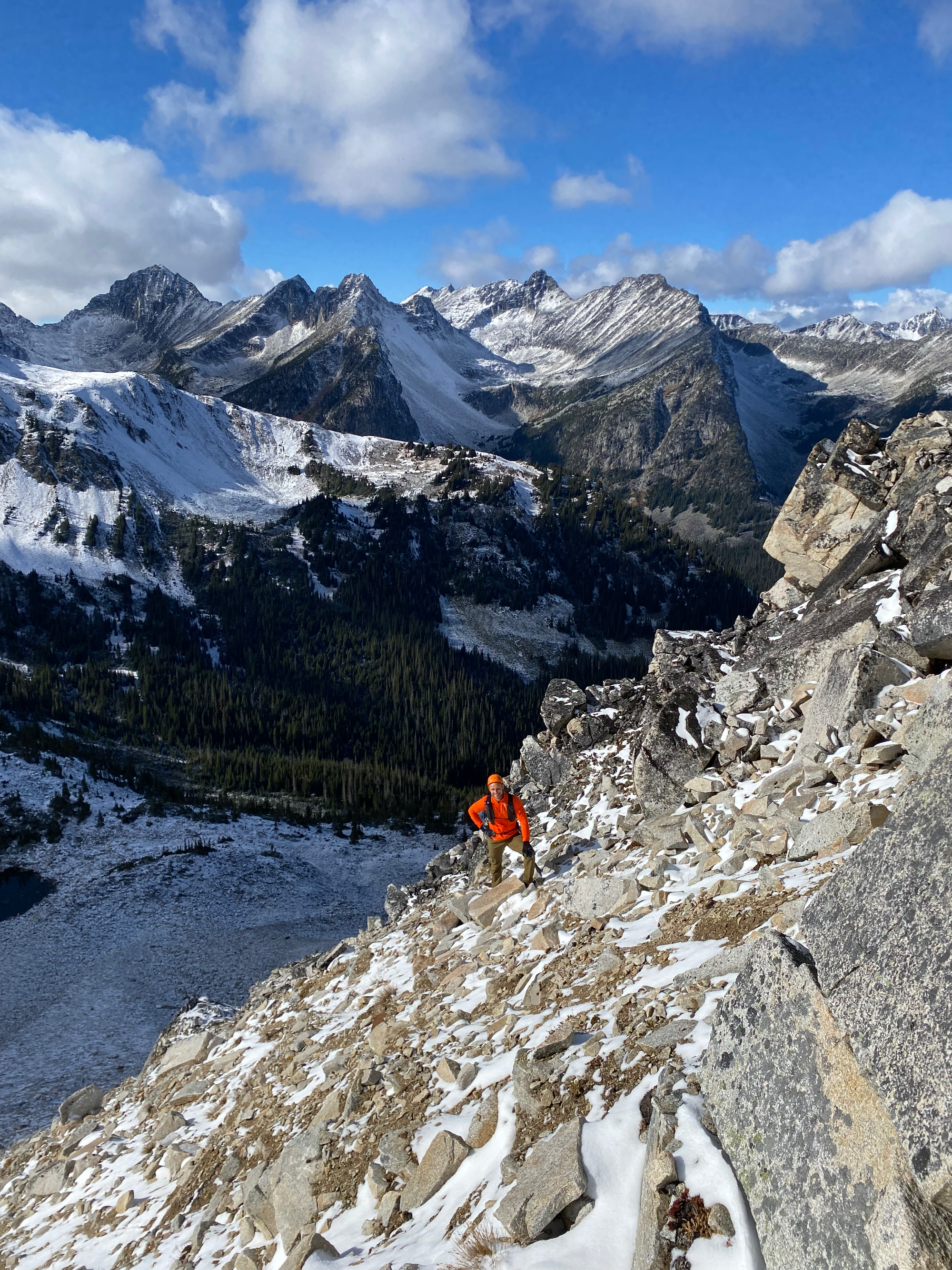
After some more boulder dodging, we reached the main ridge, where we were treated to excellent views of the main Downton peaks and the Brew area.
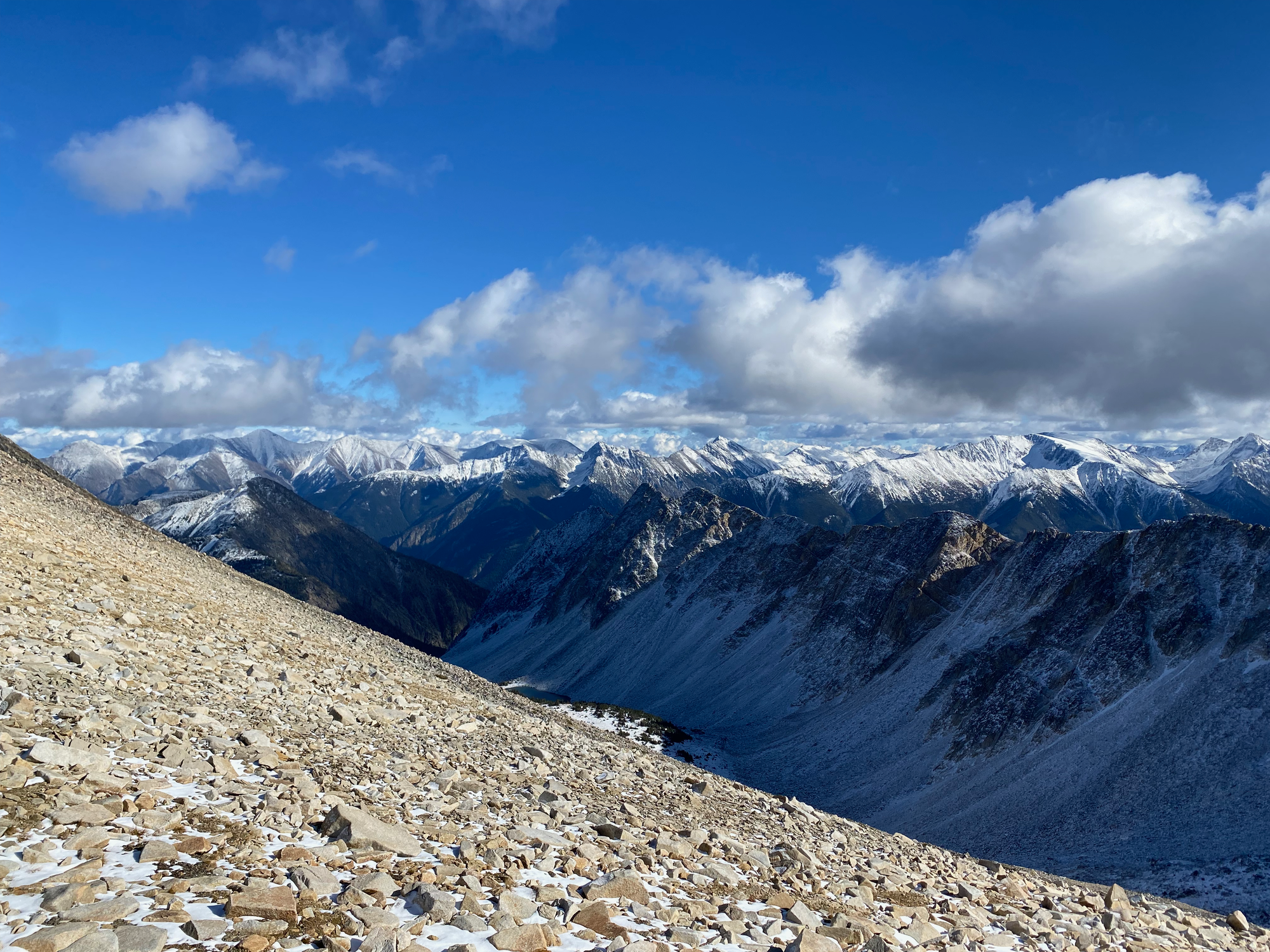
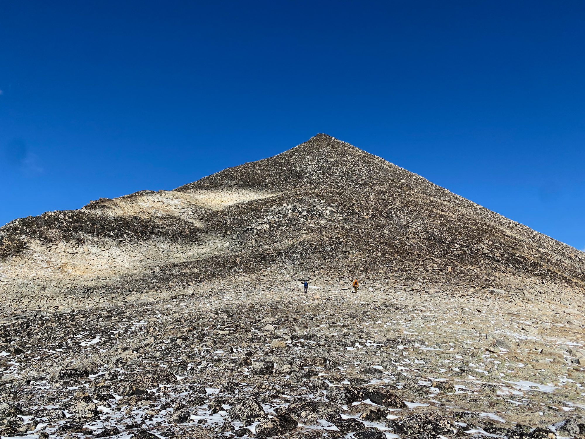
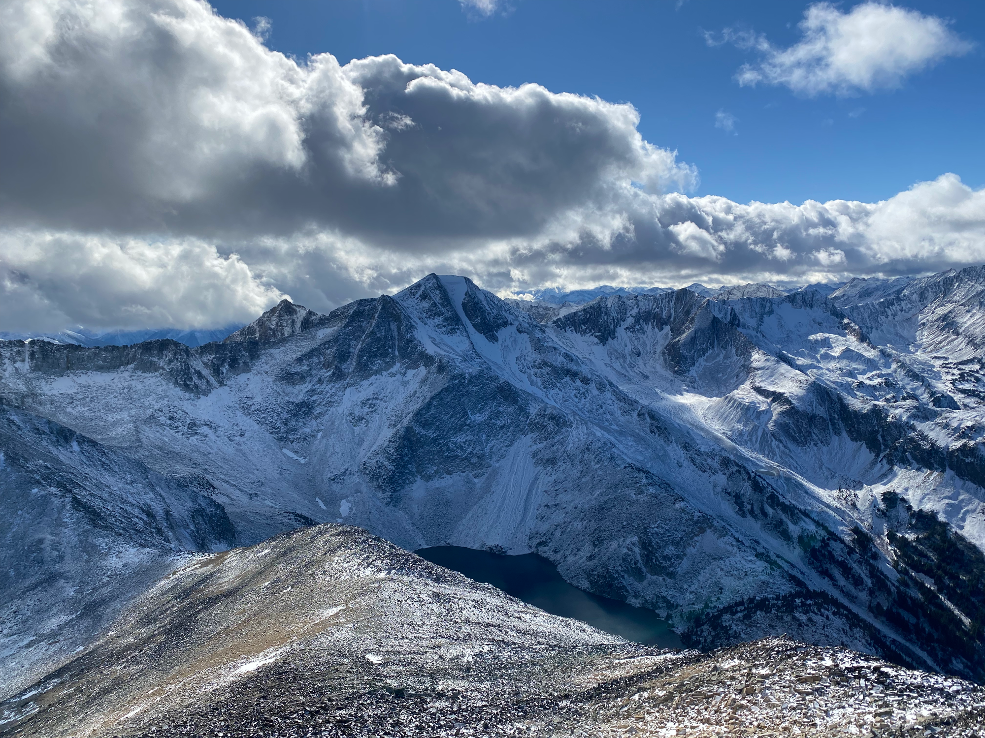
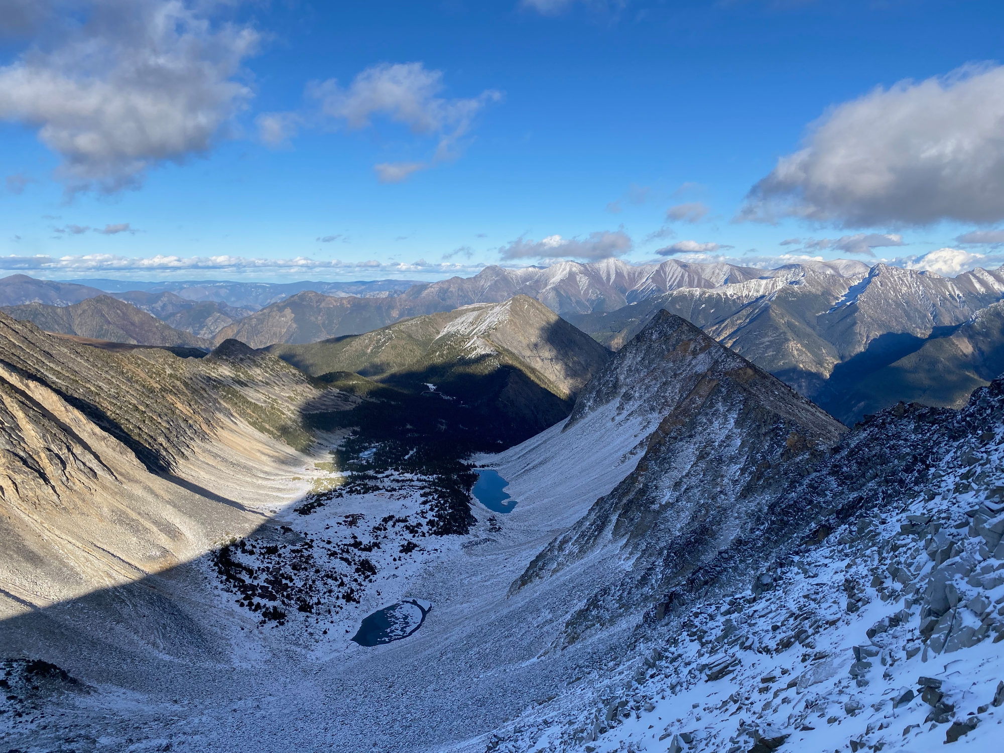
Once on the ridge, the ascent to the summit was the typical Downton boulder field experience: larger, mostly stable rocks at a gentler angle. We reached the peak quickly and admired the panoramic views. All of us had hiked to Seton and/or the Holly Lake peaks, and it was interesting to view them from a rarely-seen angle. Downton, Nraiteskel, and Melvin SW2 were across the lake and looked quite imposing. Almost every valley had its own hanging lake with its own unique shade of blue. To the east, the peaks around Mount Brew and Boulder Creek were also covered in snow.
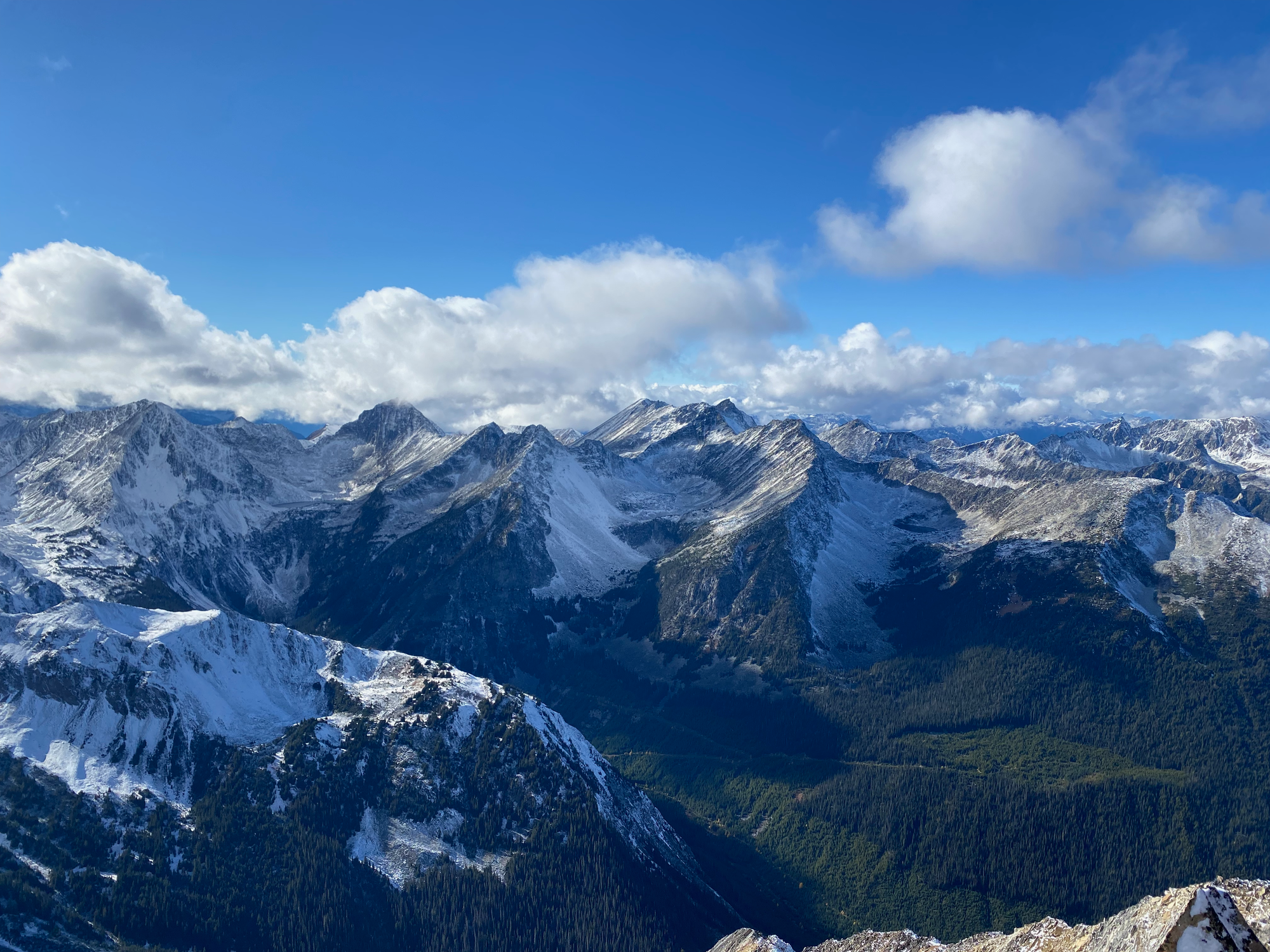
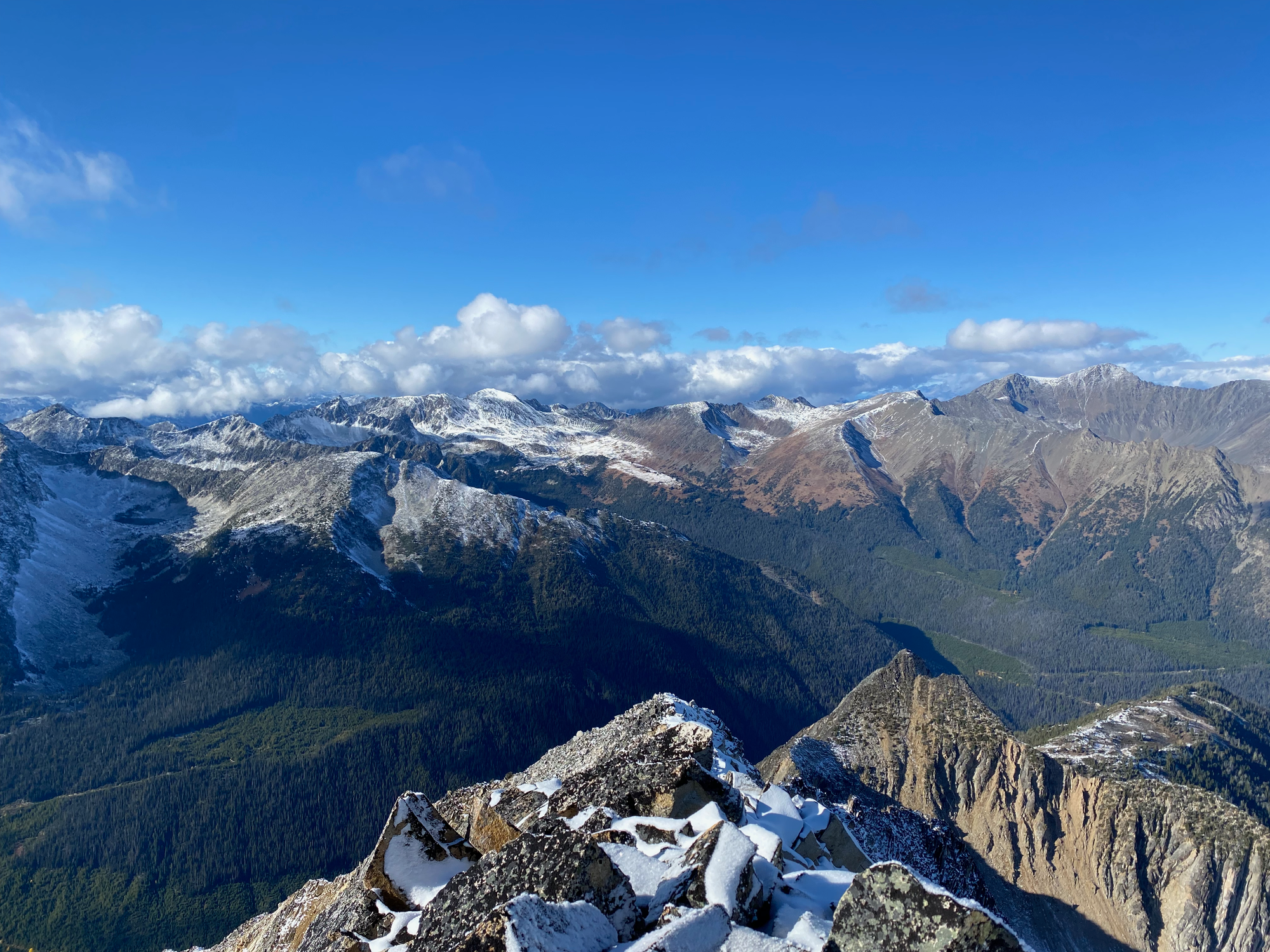
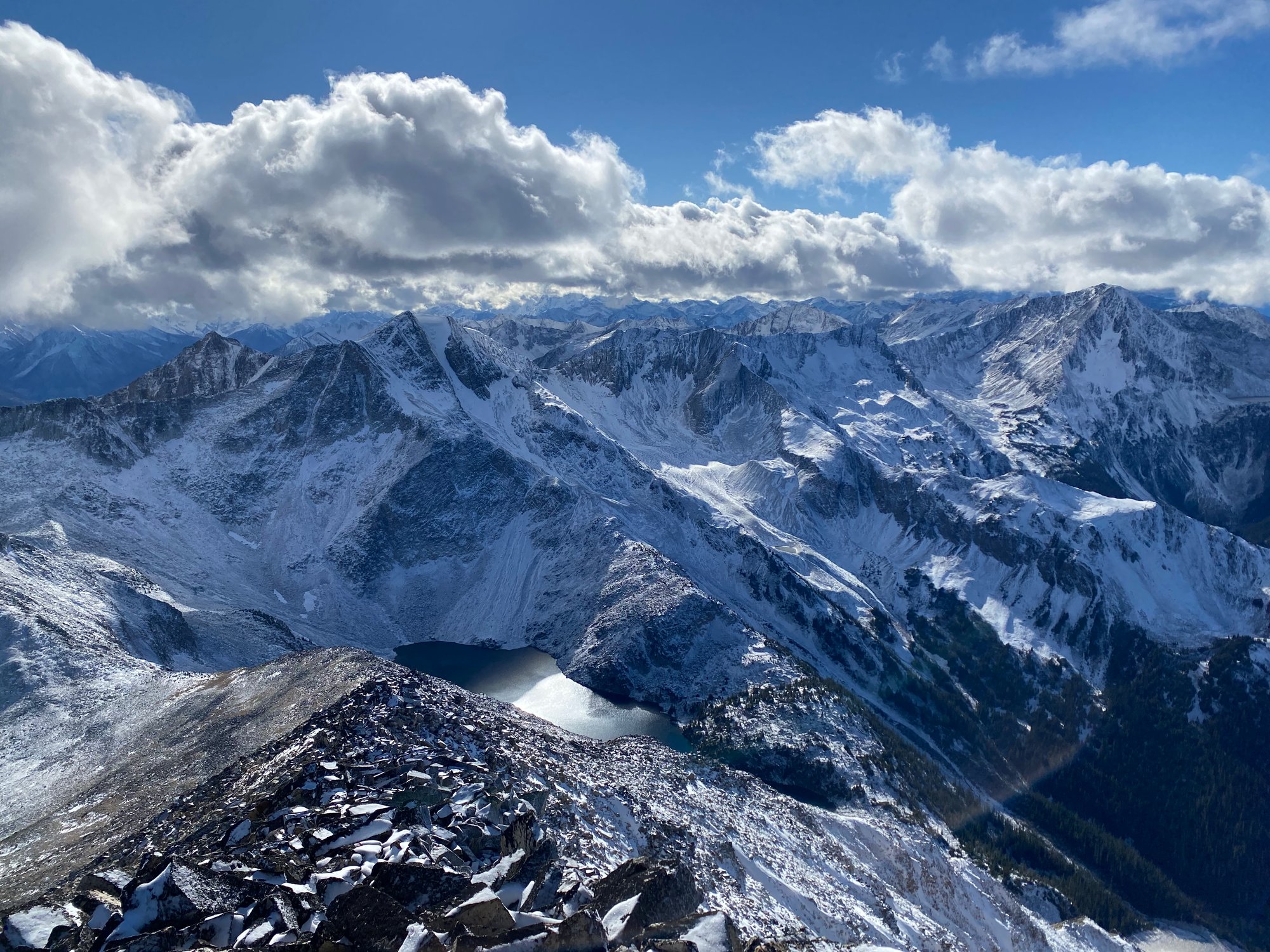
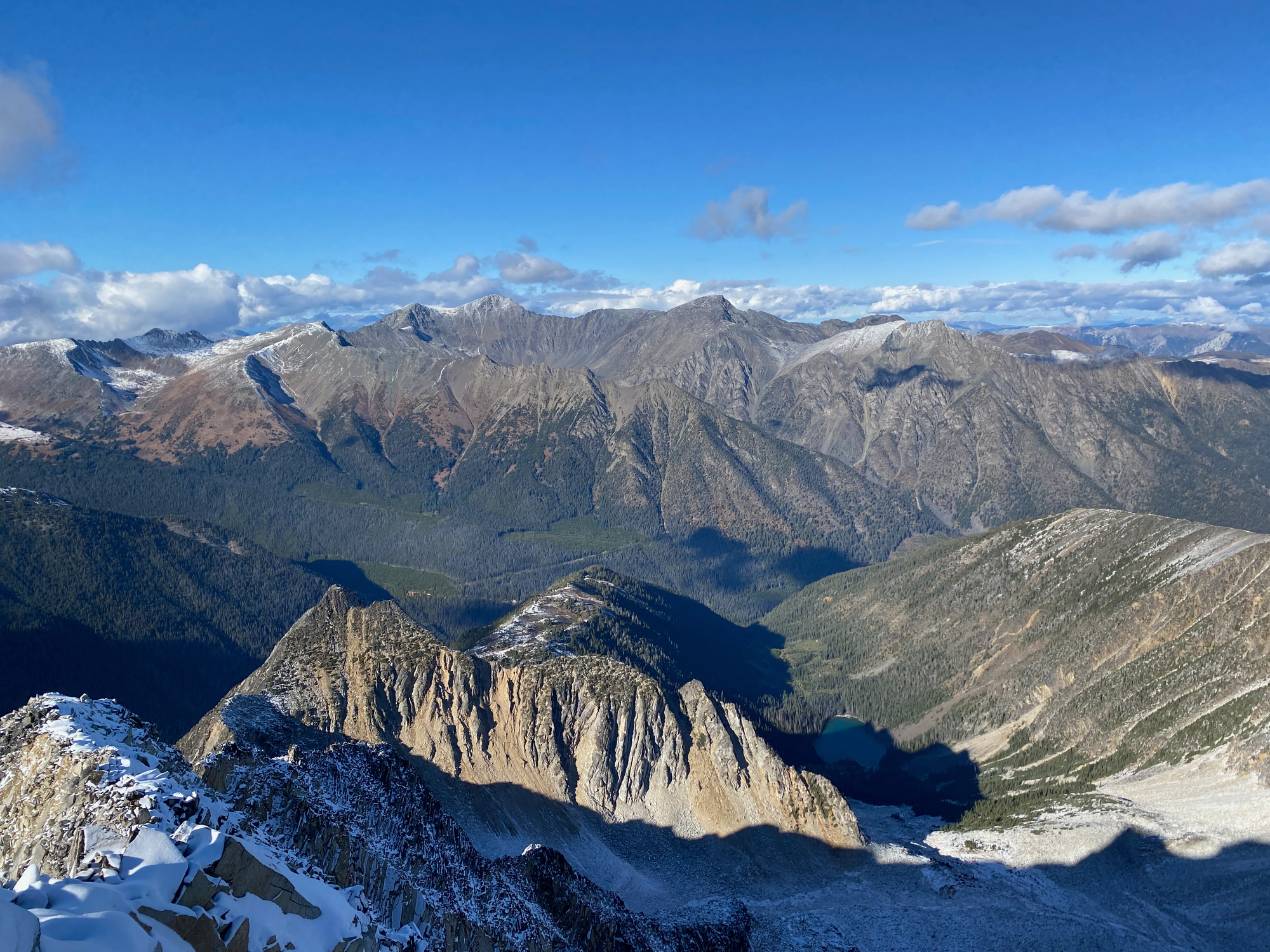
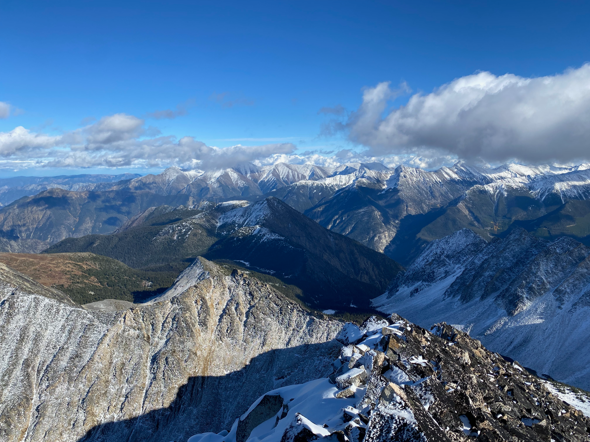
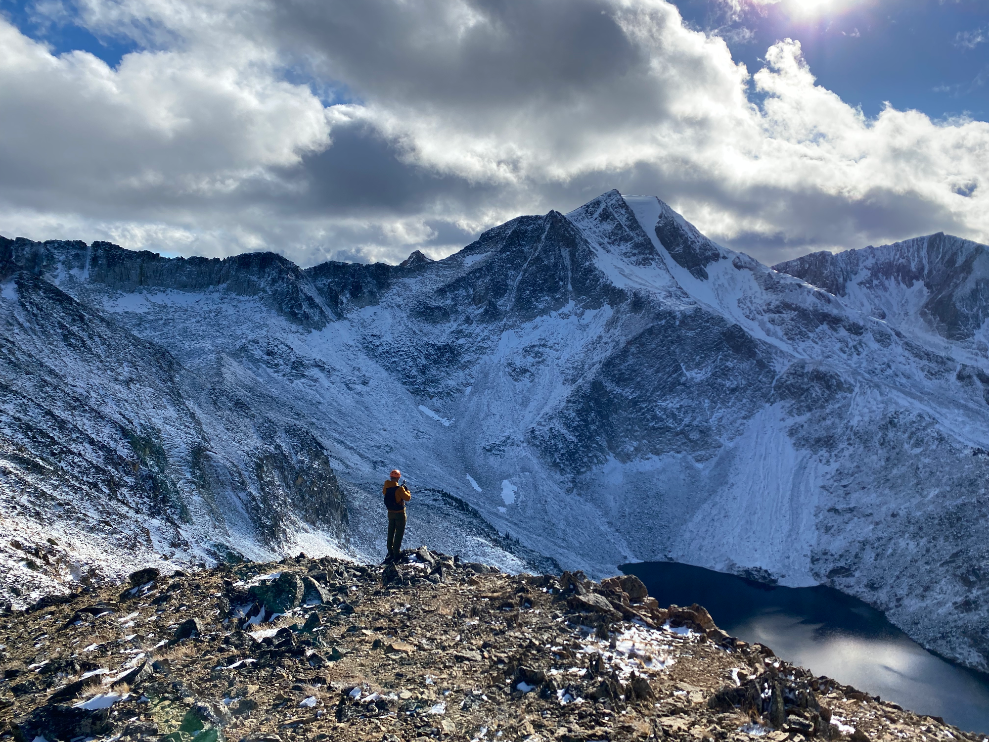
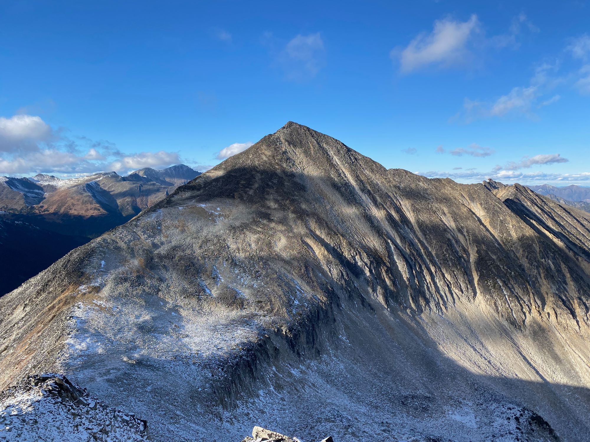
To descend, we went down the ridge to the Melvin S1 col. The gully between Melvin and Melvin S1 looked like it would probably go, but it seemed quite steep and sketchy, so we continued over Melvin S1, which had less boulders than the main peak and offered good views back towards Melvin.
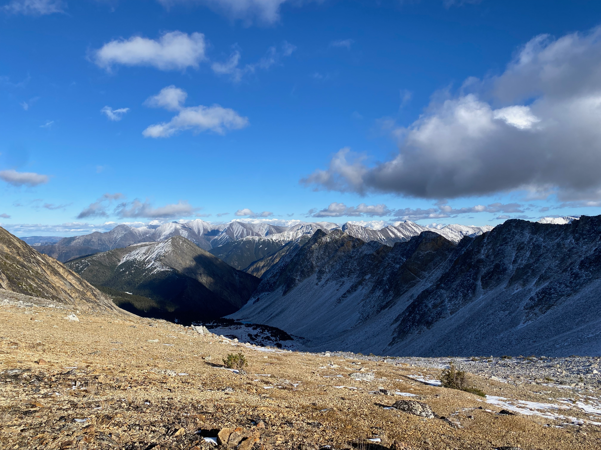
We went to the col between Melvin S1 and the massive wall of granite coming off Melvin SW2 and descended from there.
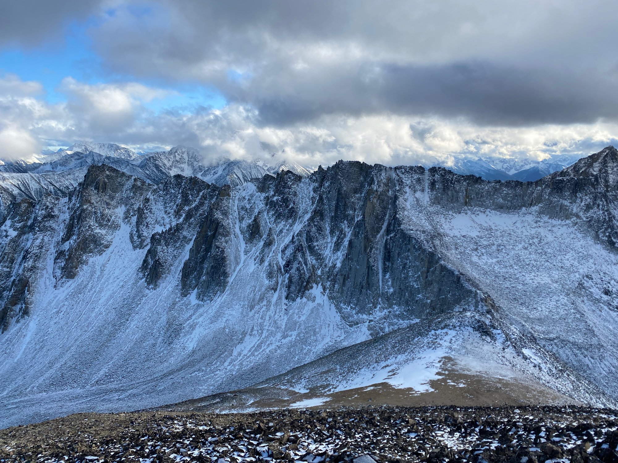
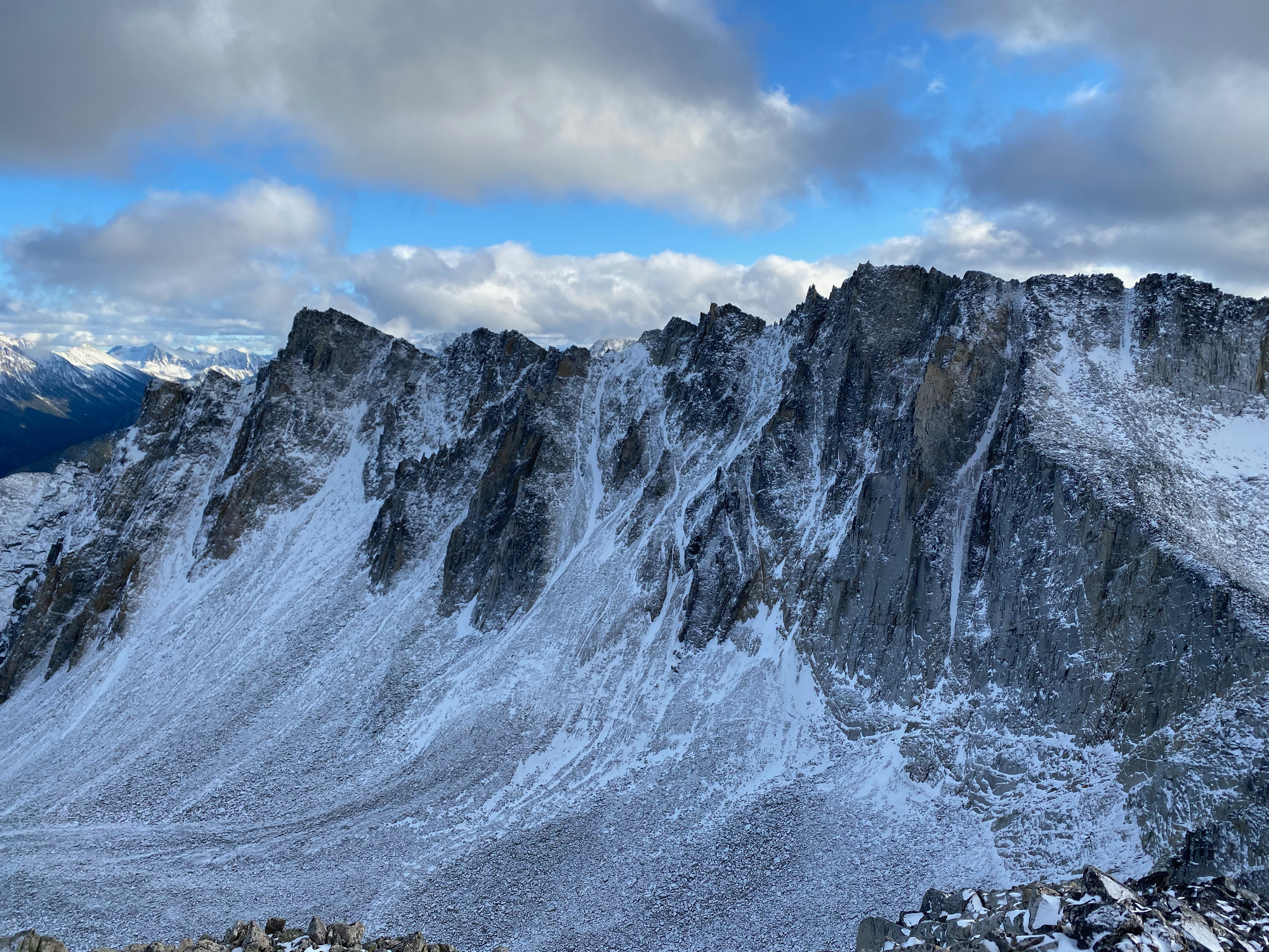
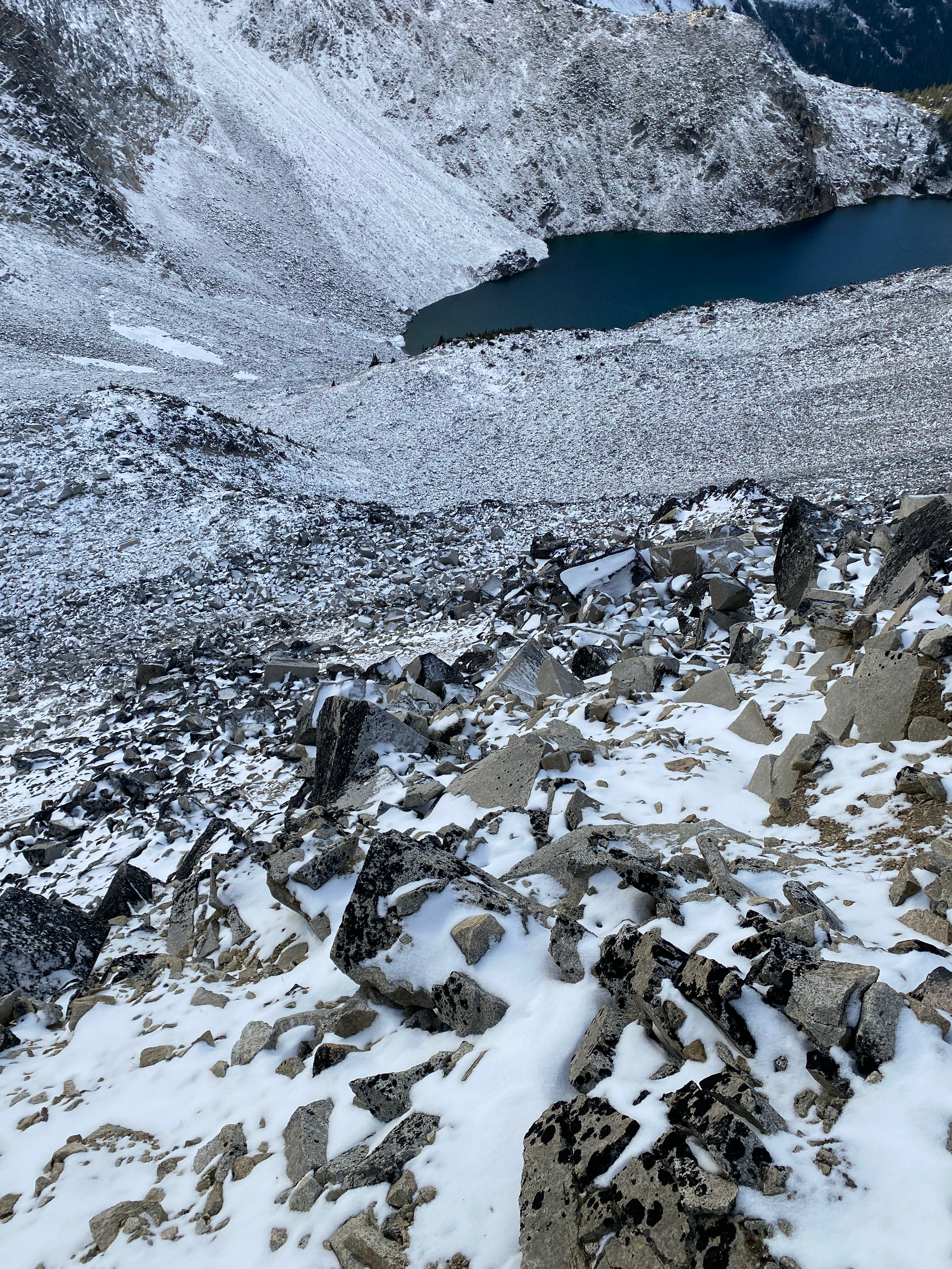
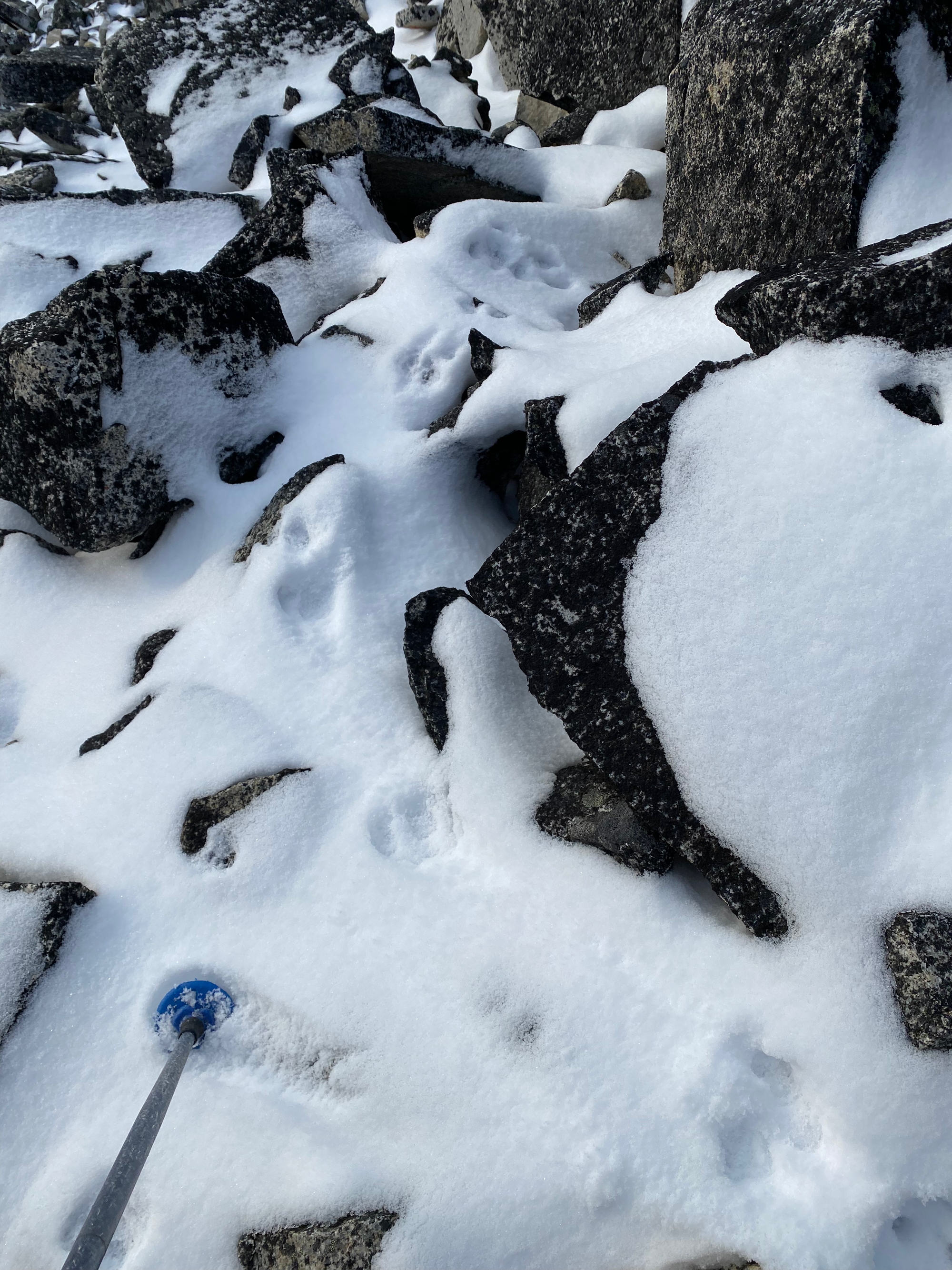
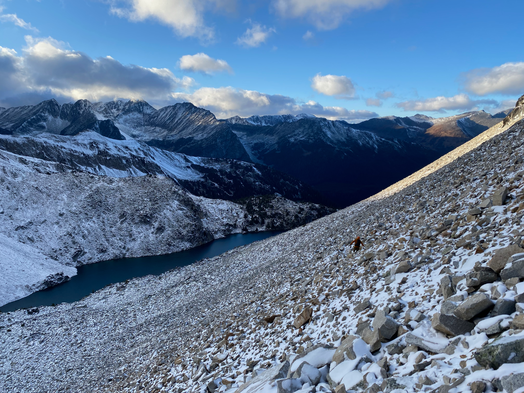
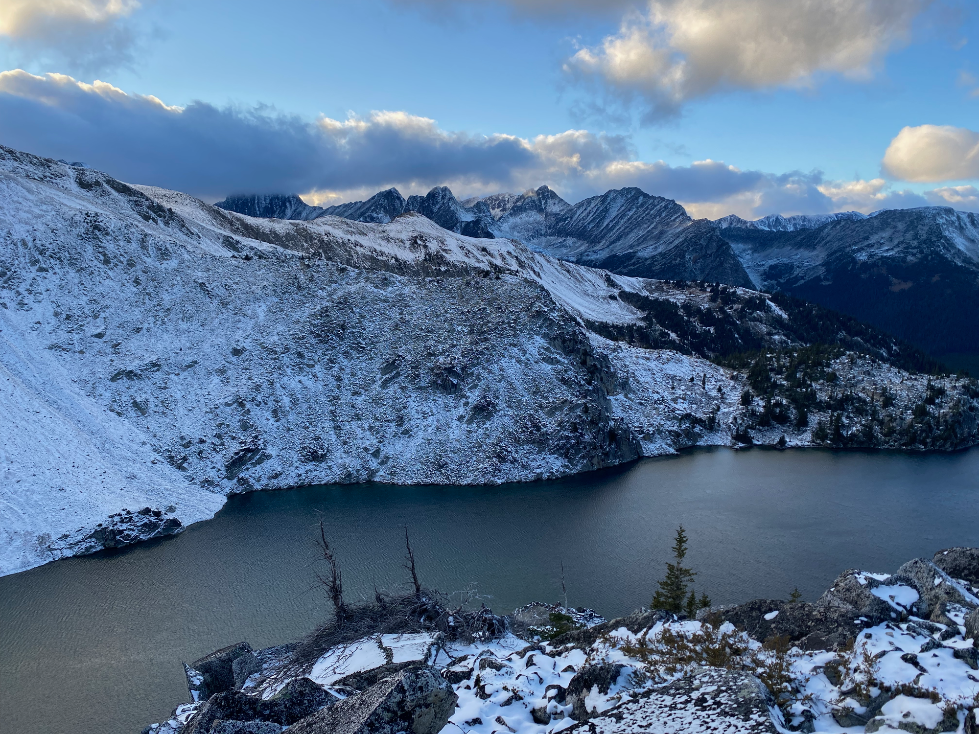
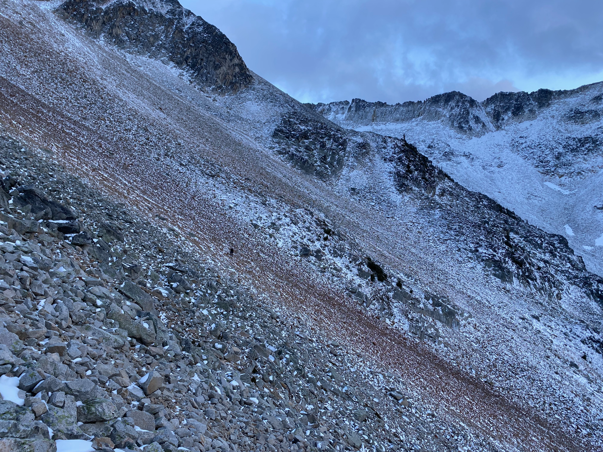
We dropped down to a natural bench around 2200m, and traversed back to the southern tip of Viola Lake along the least steep line. Sunset happened when we reached the lake. We walked back to the car in the dark, mostly staying on-trail, and made it back to Vancouver after midnight.


Member discussion