Marcy, Gray, Skylight, Table Top, Phelps
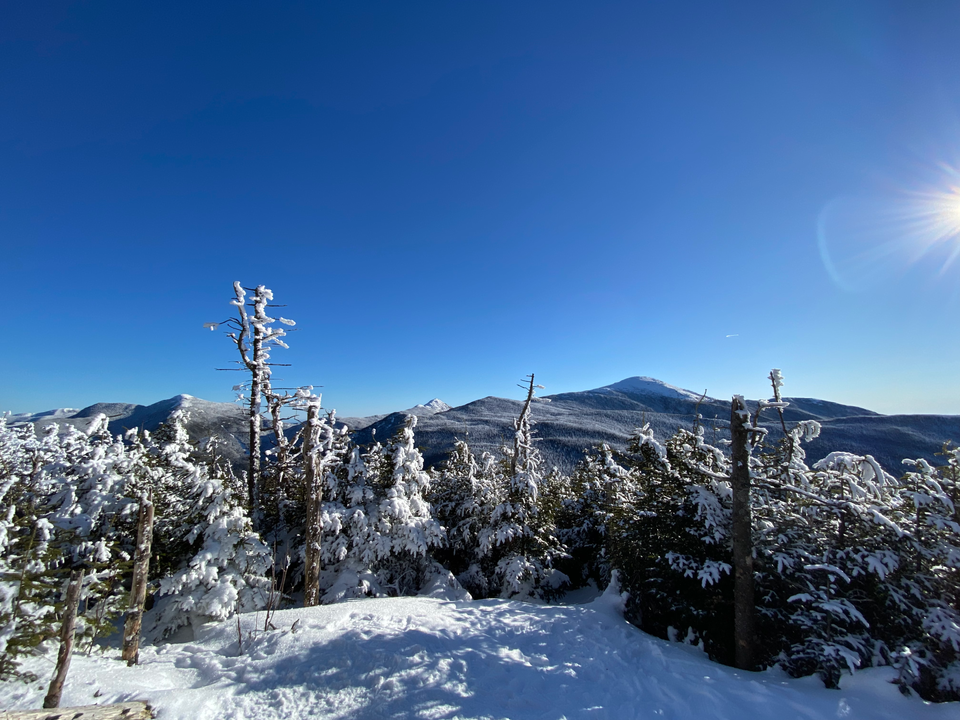
February 6, 2024
Distance: 35.3 km
Elevation gain: 2331 m
Time: Around 9.5 hours
As the highest mountain in the state of New York, Mount Marcy was at the top of my Montreal hiking bucket list. In early February, the Adirondacks were enjoying some unseasonably nice weather and excellent trail conditions so I went for it. The original plan was to ascend Marcy, and if I had time I’d also hike to its neighbours Gray Peak and Mount Skylight.
I woke up at 4am, drank a lot of coffee, dragged myself to the nearest Communauto, and drove south. Montreal is surprisingly empty at 4am on a Tuesday! A couple hours later I was at the Adirondak Loj (yes, "Loj") in the heart of the park. I paid for parking, registered, then I was on the trail.
The first few kilometres along the Van Hoevenberg Trail were mostly flat with a few gentle slopes. I chose the right day to hike here - the trail was very well packed and very easy in snowshoes. It was also a bluebird day, and warm by Adirondack winter standards. Surprisingly, I only saw two other groups.
It didn’t take long to reach Marcy Dam, where the trail splits. I took the ominously-named Avalanche Pass trail southeast to Avalanche Camp, where the trail splits again. The Lake Arnold trail provided the first elevation gain of the day, ascending to the lake at 1150m (frozen over) then descending into a valley on the other side. The trail splits at another lean-to and begins a steep ascent along Feldspar Brook before reaching Lake Tear of the Clouds. This peaceful mountain lake is actually the source of the mighty Hudson River.
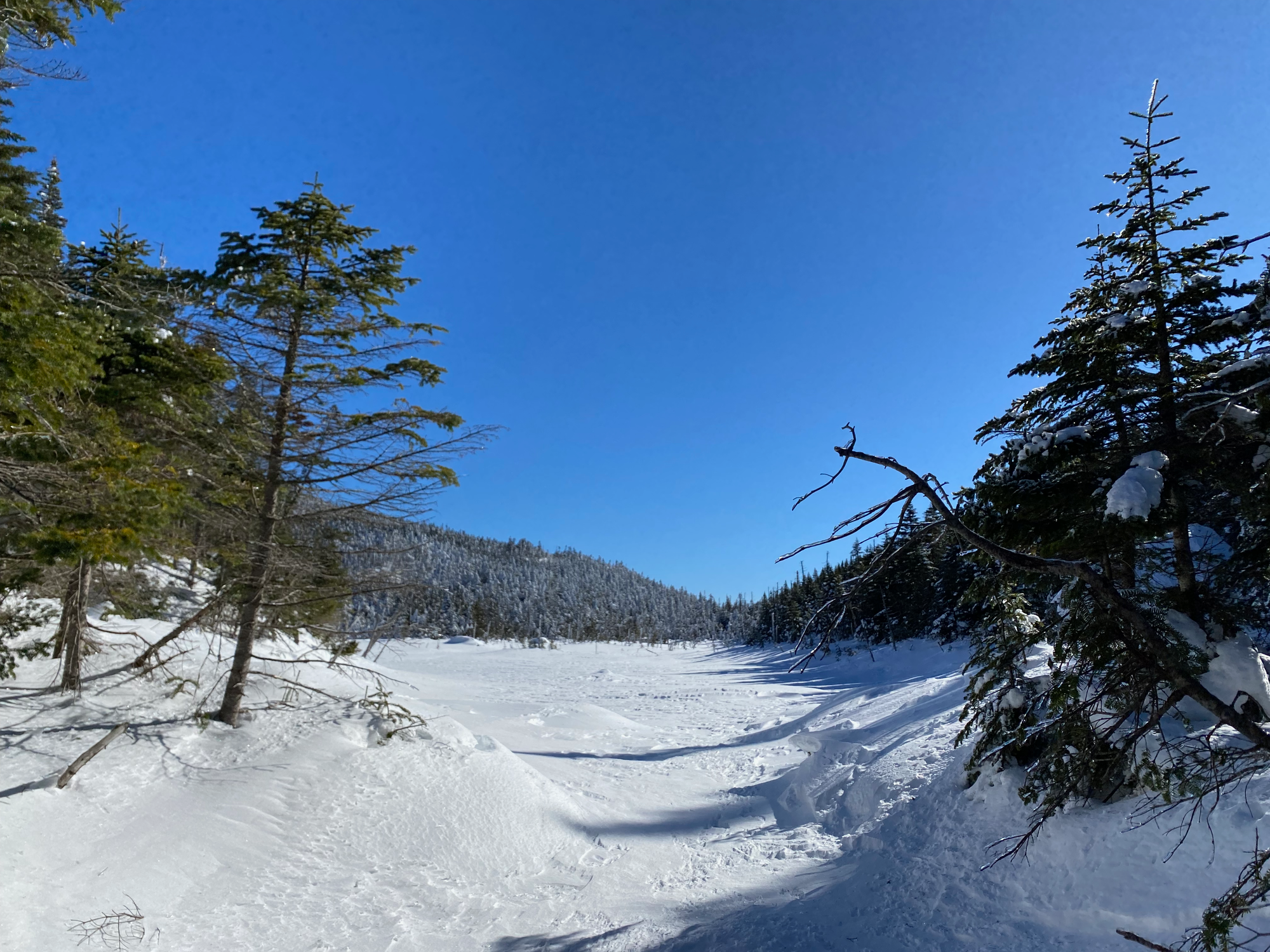
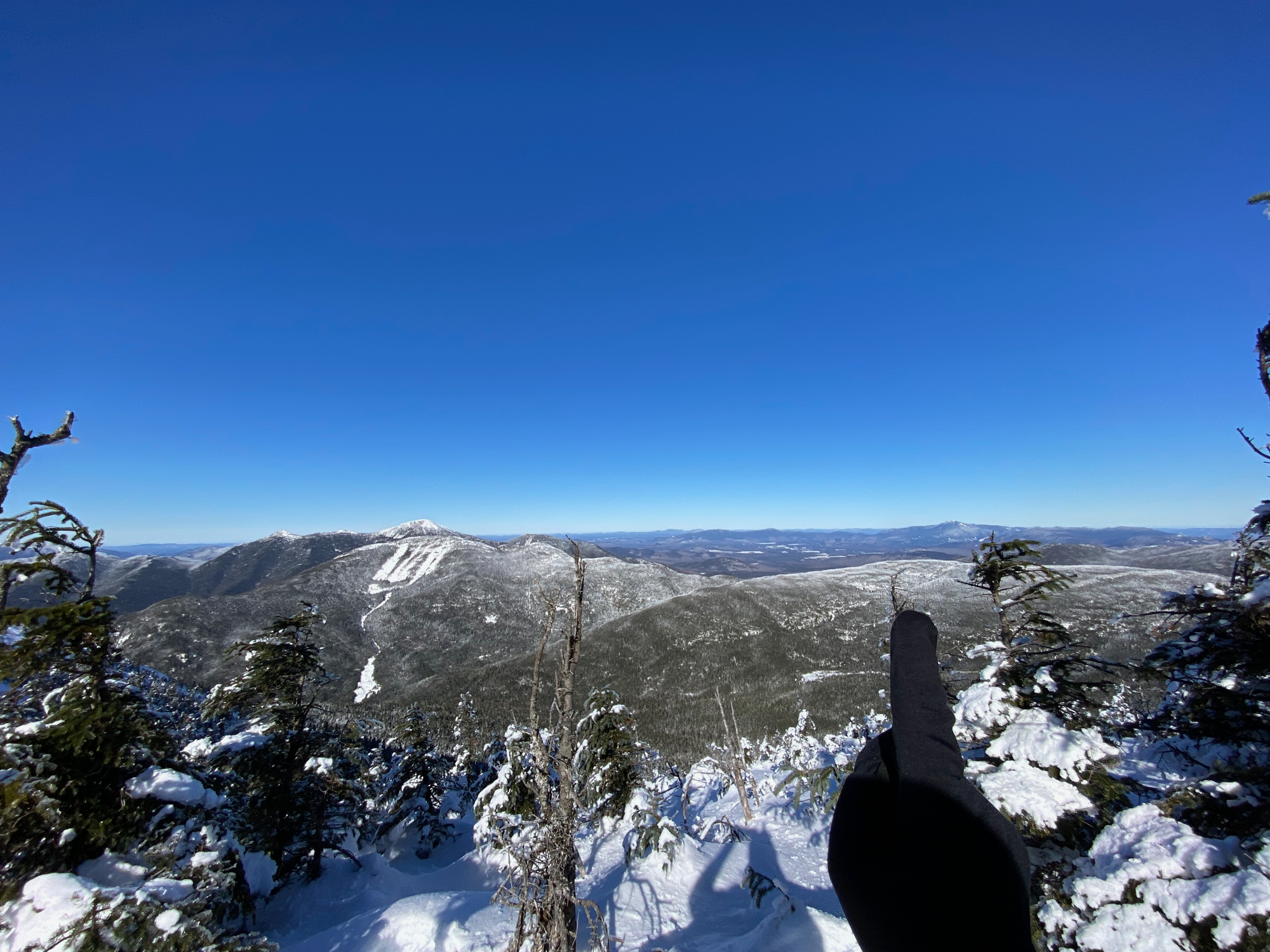
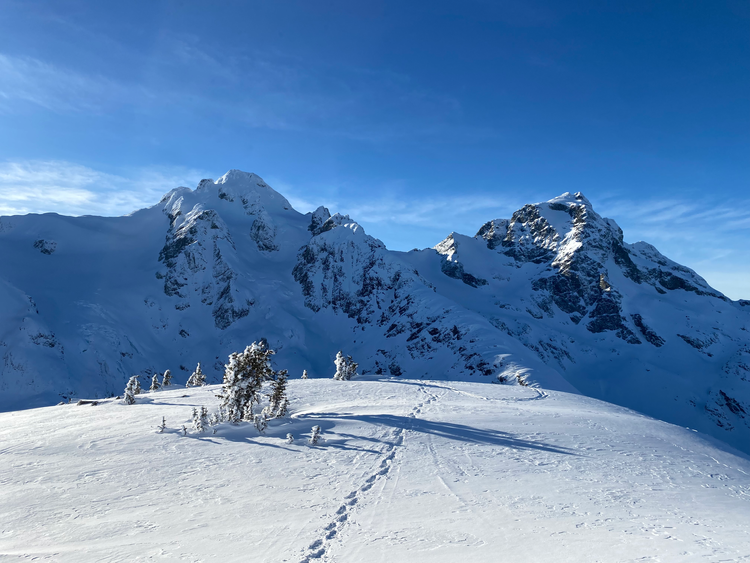
The turnoff to Gray Peak is at the outlet of the lake. Gray doesn’t have an officially maintained trail, but the route had been broken out and was easy to follow. The summit was just above treeline and had great views of Mount Marcy, which towered over the peak.
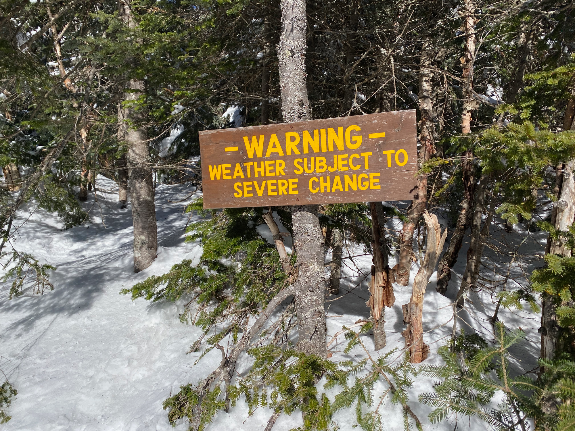
I returned to the main trail. About 500m past the lake, the trail reaches a 4-way junction with trails leading to Mt. Marcy, Mt. Skylight, and Panther Gorge, with a warning sign about the weather.
Skylight was my next stop. Tradition holds that hikers should bring a rock to the summit or risk getting rained on. Unfortunately for me, all the rocks were buried under a few feet of snow, so I brought a large stick instead. It seemed to appease the mountain spirits, and the weather stayed perfect all day. The trail continuously ascended for half a mile to reach the summit plateau, with good views of Marcy and the southern Adirondacks.
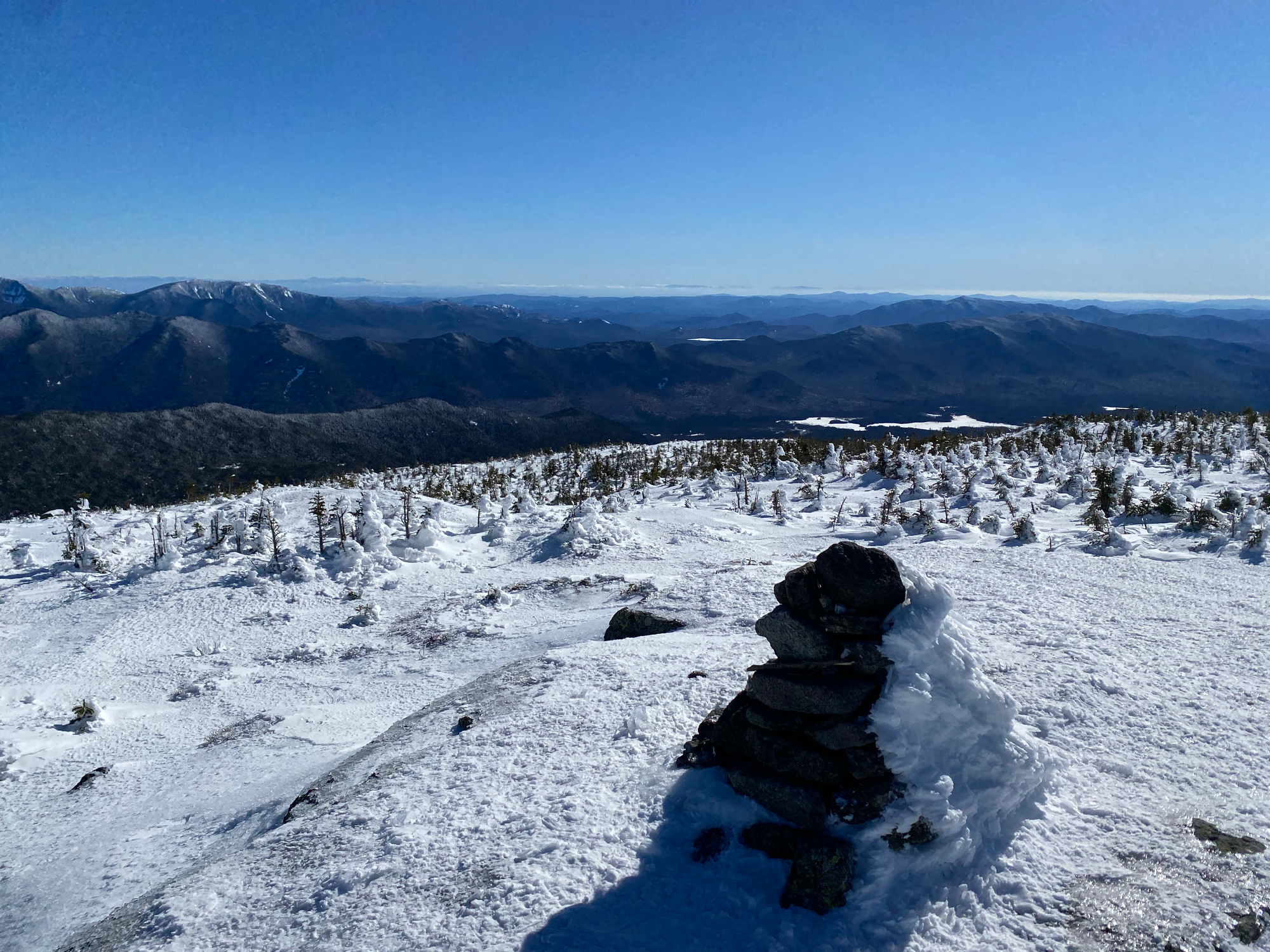
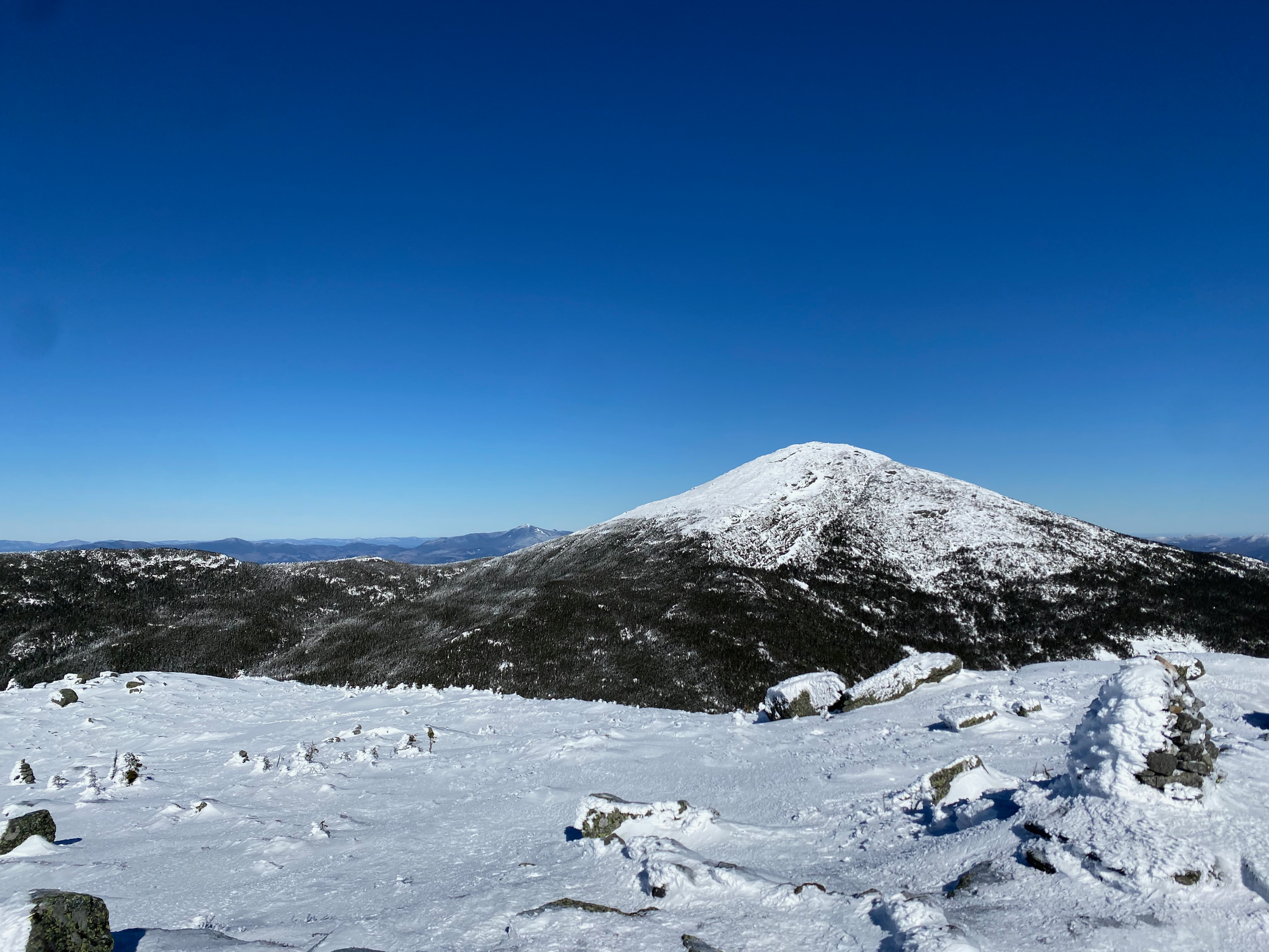
Next stop: Mt. Marcy. It’s 0.8 miles (1.3km) from the Marcy-Skylight intersection to the summit of Marcy, mostly a steep slog. As soon as I passed above treeline, the winds were relentless. The route follows cairns over Schofield Cobble, a small perch (not sure why this counts as its own peak) to the summit. This area is usually very icy in the winter but I got lucky and there were only a couple icy patches.
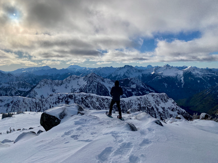
From the summit of Marcy, I had 360 degree views of the entire Adirondack Park and beyond, reaching as far as the White Mountains in New Hampshire and Bromont and Mont Sutton in Quebec. The crisp winter air made everything so much clearer. The wind made everything so much colder, so I quickly pulled out my phone, took the obligatory photos, then hid behind a cairn to admire the view. Eventually it was time to leave.
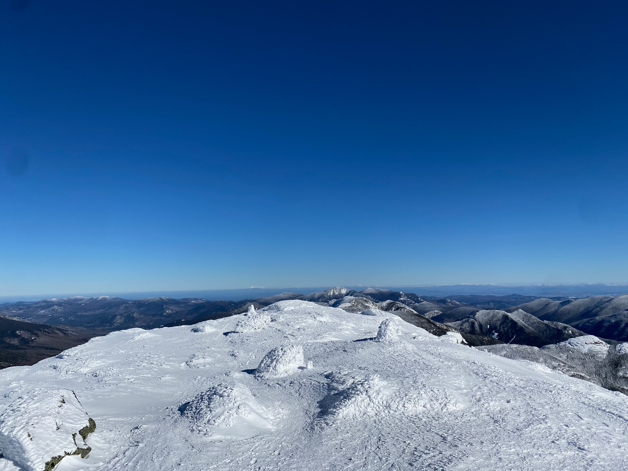
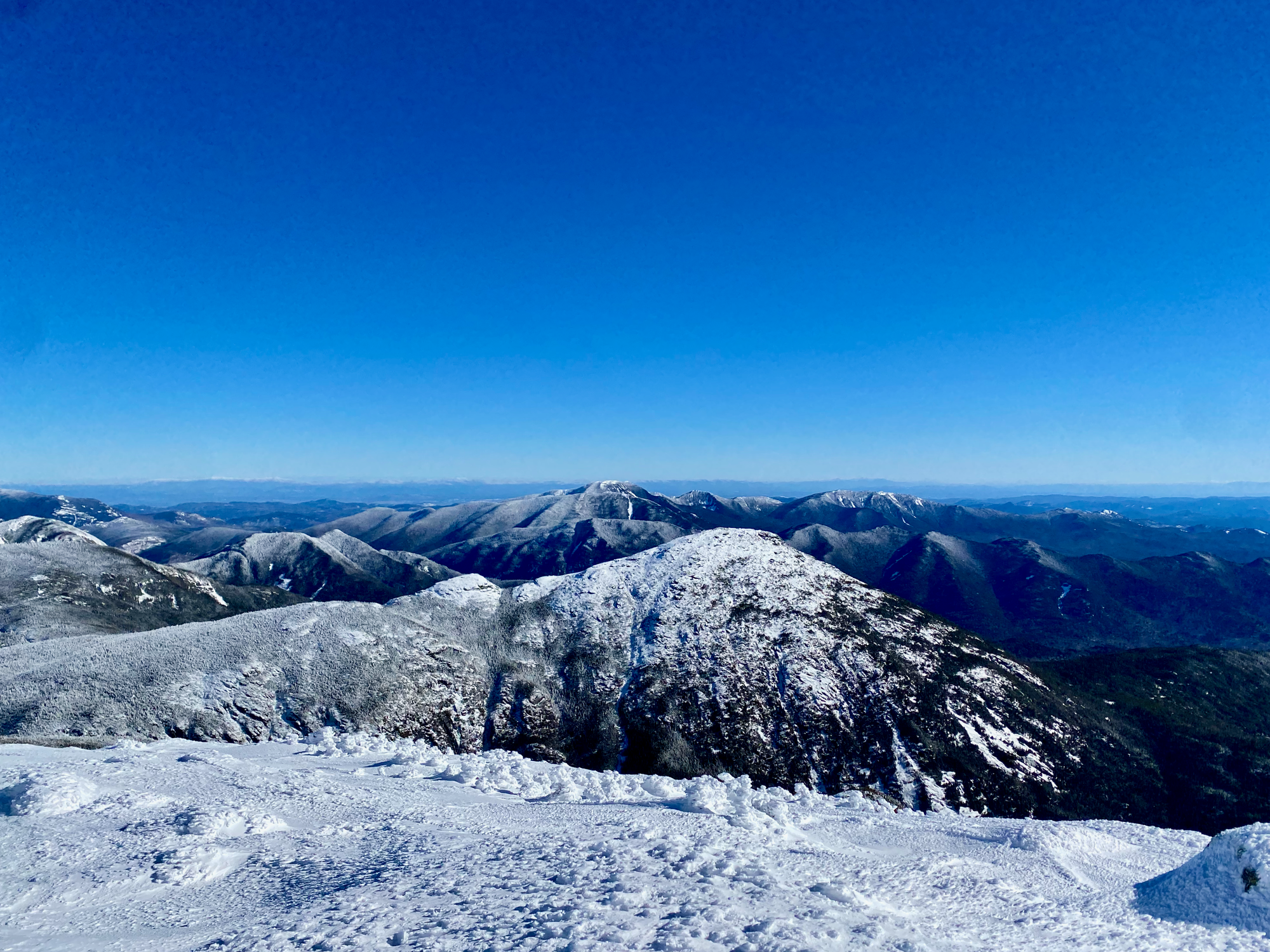
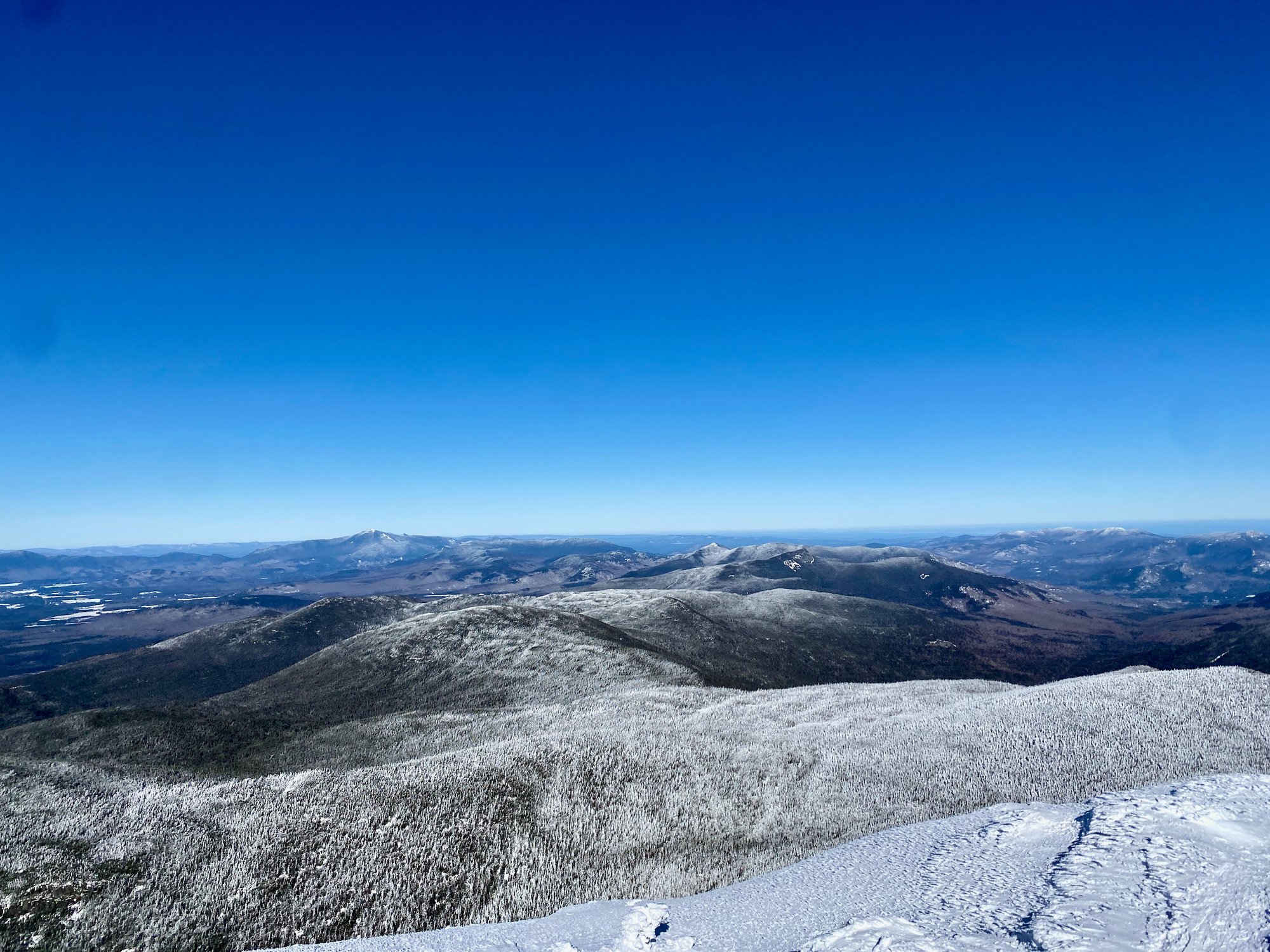
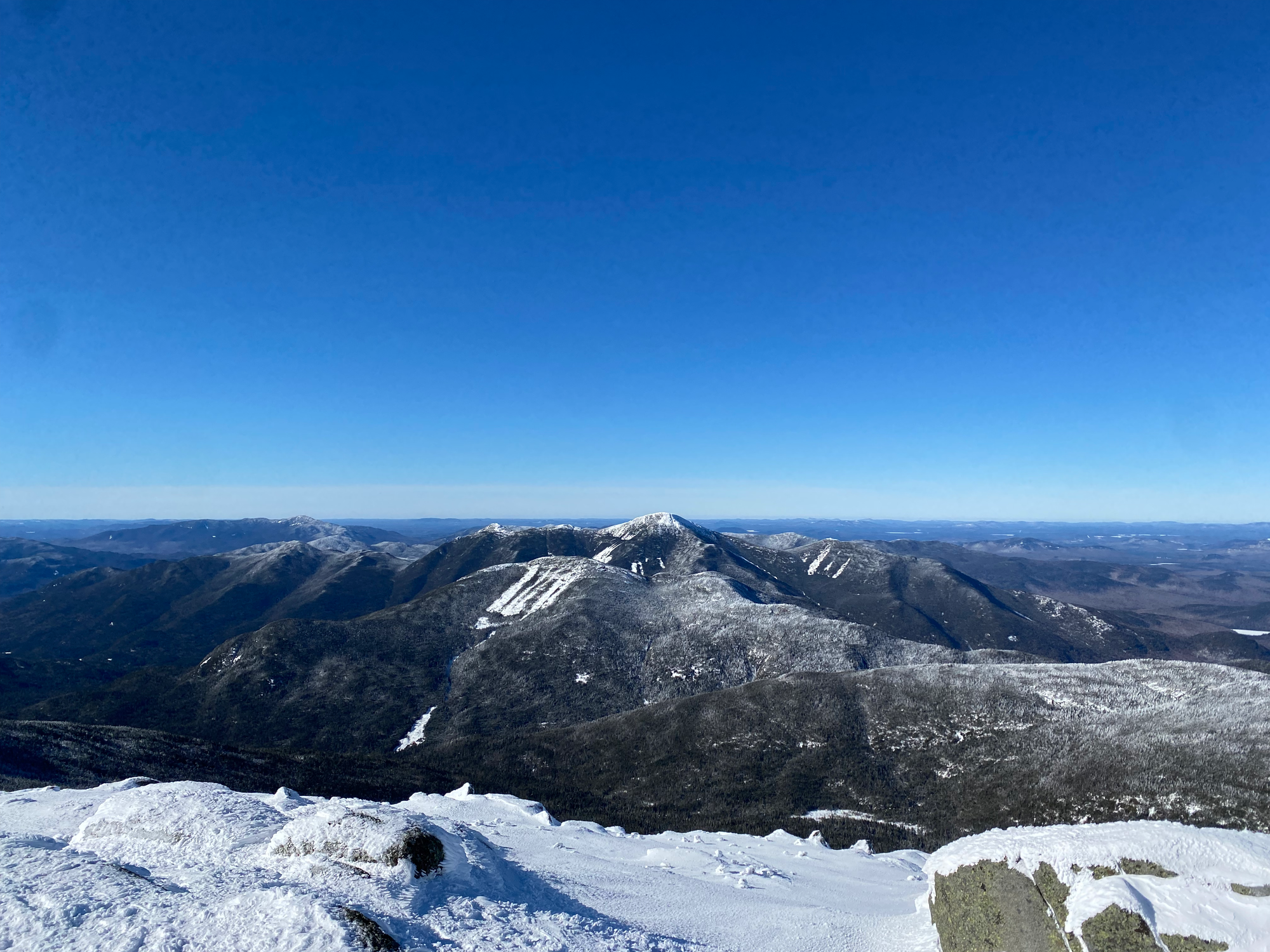
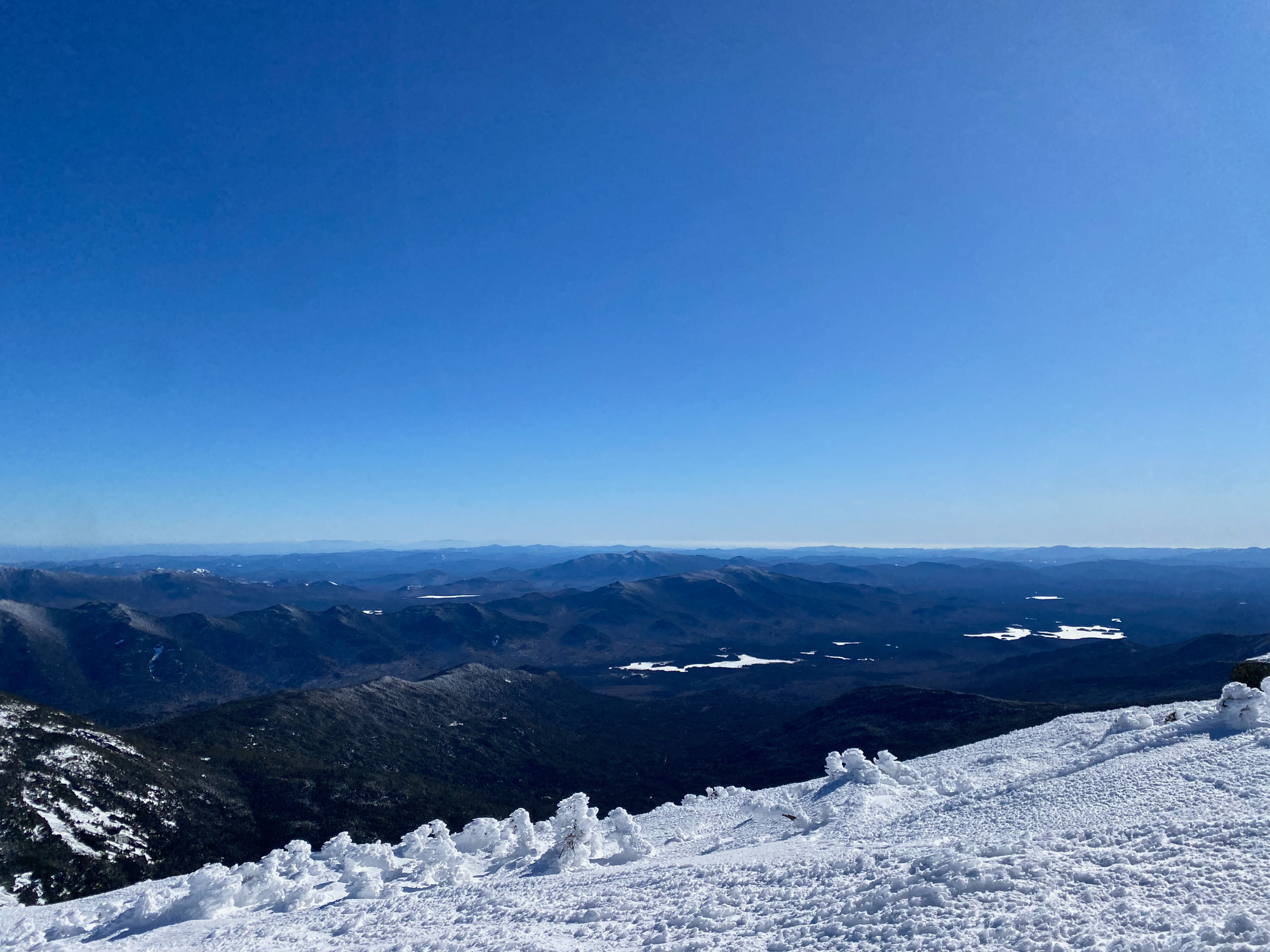
The descent on the Van Hoevenberg Trail was pretty straightforward. Once I got below treeline it was much warmer. I was starting to feel the sleep deprivation and an energy drink was really helpful.
I was ahead of schedule and decided to visit two more peaks: Table Top and Phelps. Both are short but steep detours from the Van Hoevenberg trail. Table Top was accessed by a herd path about half a mile long, which is usually broken out and was easy to follow. The path is almost all in the forest, except for a small perch where trees frame a good view of Marcy and friends.
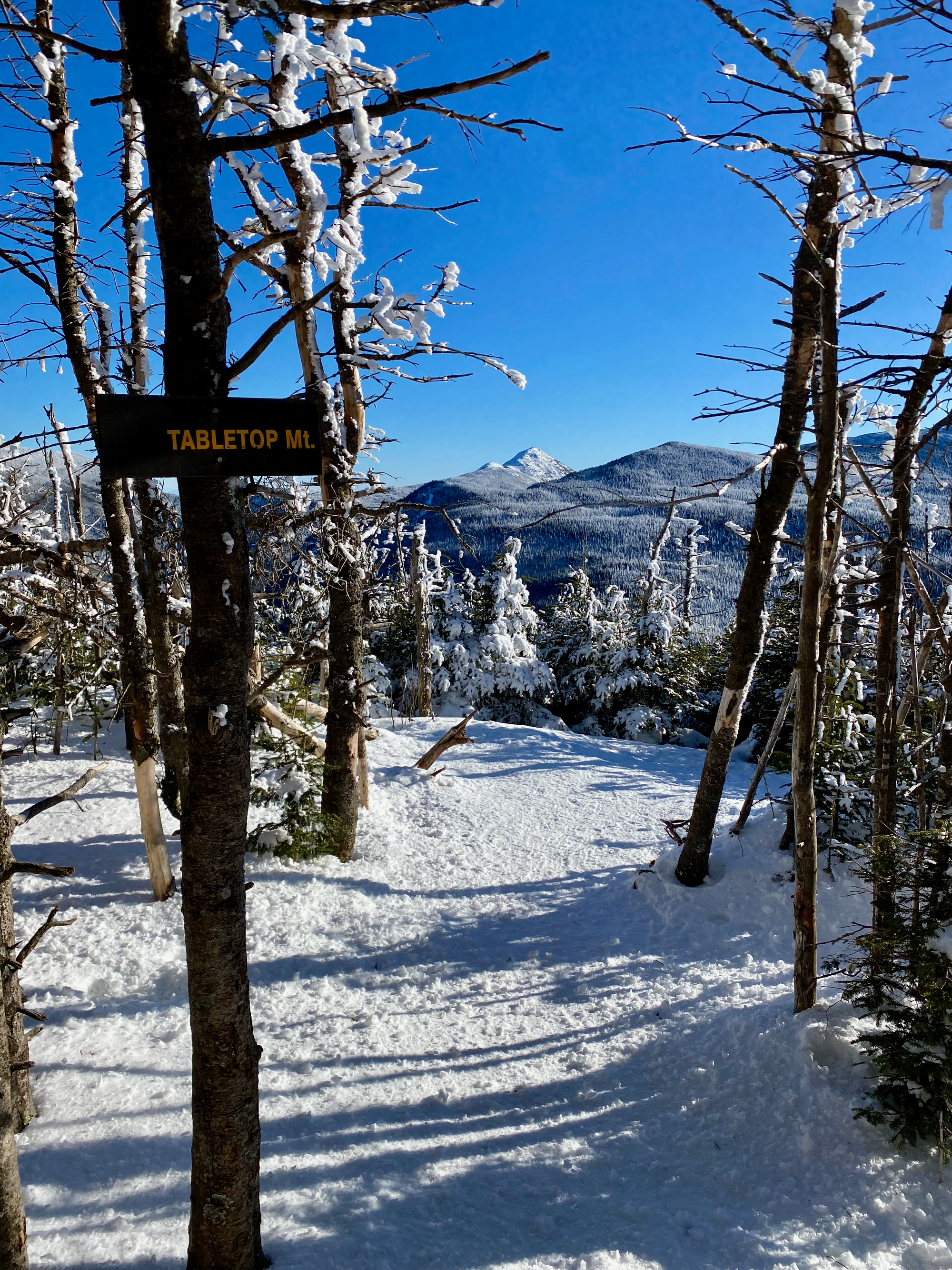
Back to the trail I went, sledding on a garbage bag on some of the steeper sections of the Table Top herd path. Once I reached the main trail it was another mile or so to the Phelps turnoff. The Red Bull had not worn off so I decided to go for it. The sign says the Phelps trail is one mile long but there’s no way it’s that short. Like Table Top, Phelps involved a series of ascents through the forest before breaking out of the treeline at the very end. Just before the summit there’s a ledge with an excellent vantage point of the Marcy area. I took a short break and appreciated how far I’d walked.
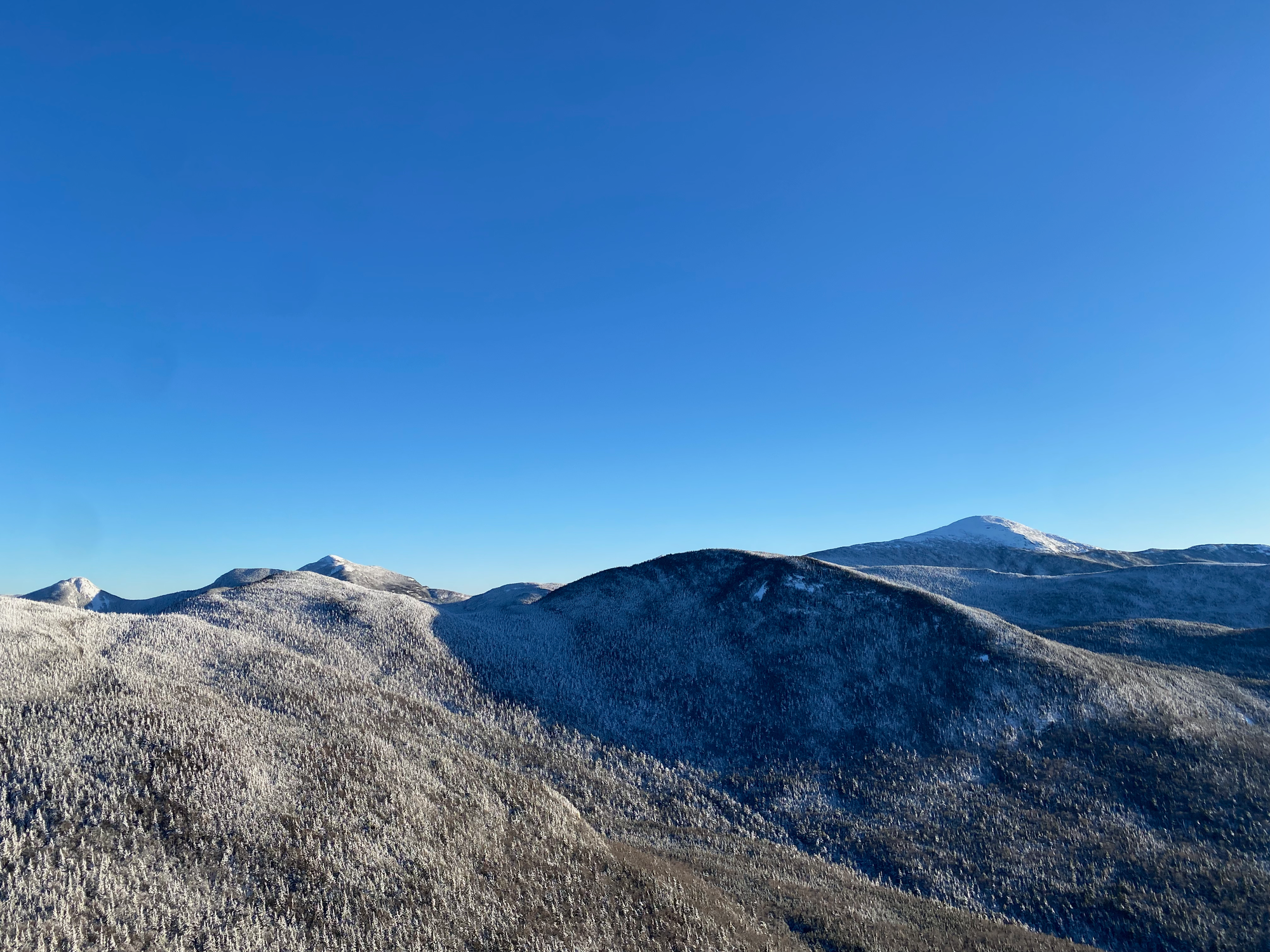
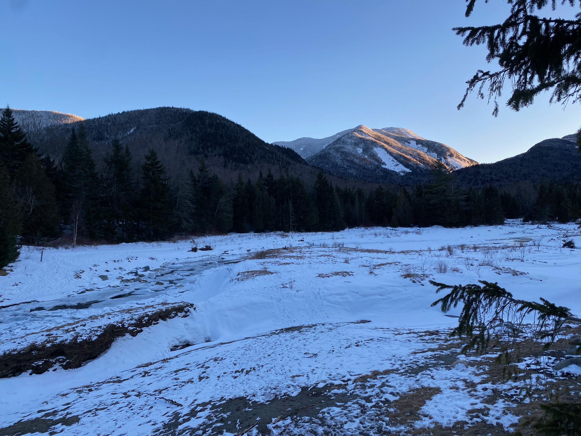
It was starting to get late so I didn’t linger. I dragged myself down the Phelps trail, rejoined the main trail, and began a mostly flat and well-defined but neverending slog along the Van Hoevenberg past Marcy Dam to the parking lot. Eventually I made it back to the car as the last usable light vanished.
I drove north, interrupted by an interrogation at the border (“you woke up how early? to go hiking?”). Back in Montreal I returned the communauto, finished an assignment, and slept very well.
Member discussion