Lower Great Range, Colvin, and Blake
Date: August 29, 2024
Distance: 34.12km
Elevation gain: 2485m
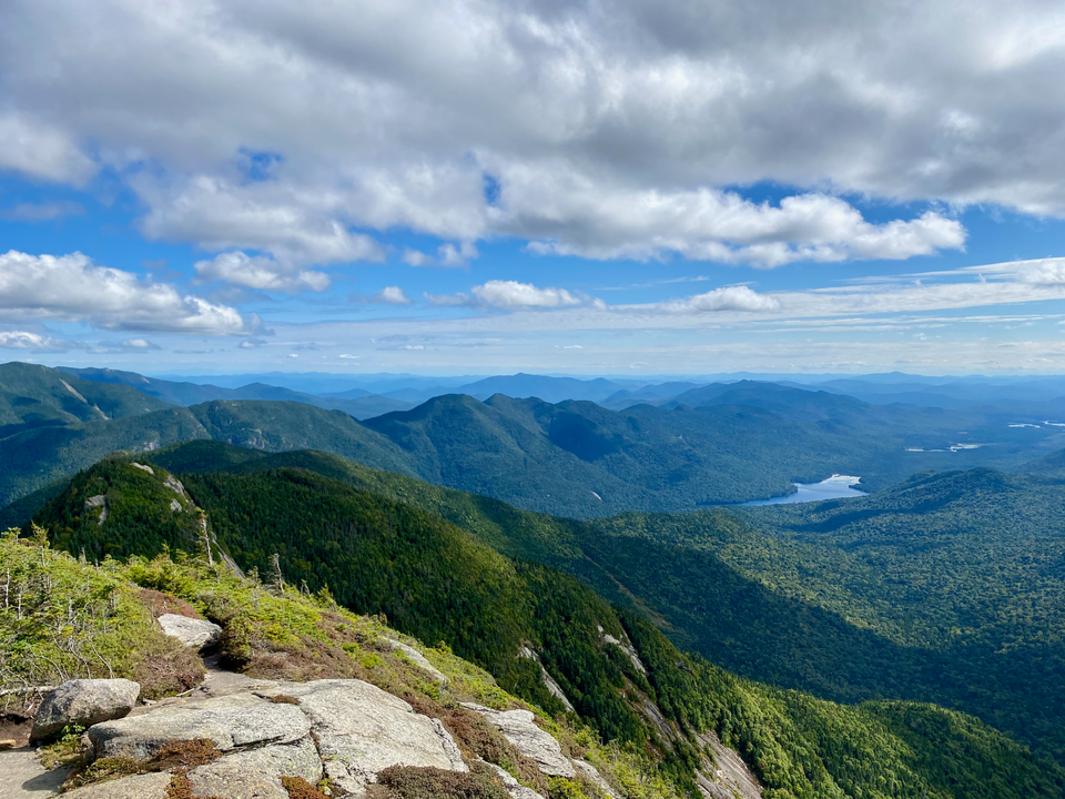
The Great Range stretches across the High Peaks Wilderness. It includes seven of the Adirondack High Peaks and is a notable landmark when viewed from anywhere in the area.
I found myself with no plans for my last full day in Montreal. Almost all my friends had left town by that point and I’d already checked everything I wanted to do off the Montreal bucket list. It was time to visit some more high peaks in the ‘Dacks. The plan was to hike the Lower Great Range: the Wolfjaws, Armstrong, and Gothics. If I had time I’d visit some more peaks as well. In the end I did seven high peaks: Lower Wolfjaw, Upper Wolfjaw, Armstrong, Gothics, Sawteeth, Blake, and Colvin.
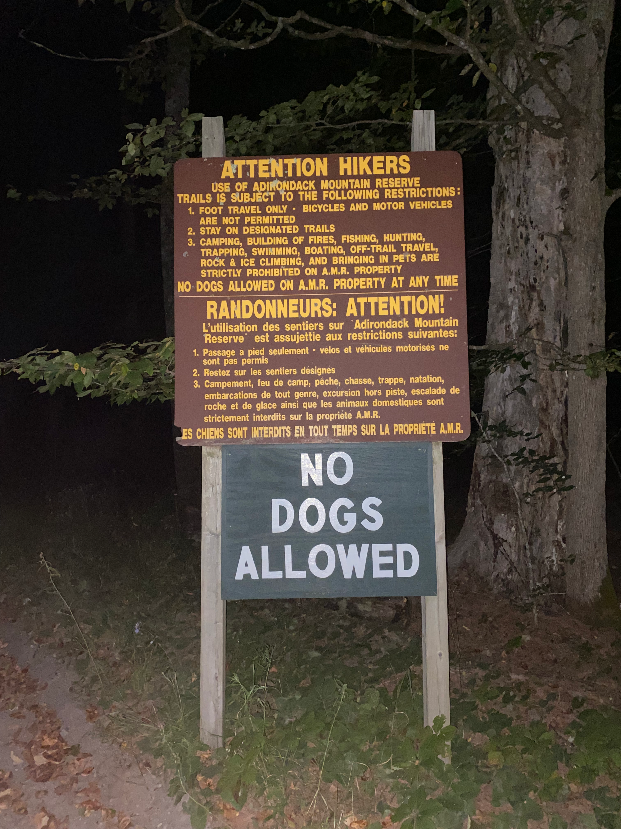
All of these peaks can be accessed from the AMR (Adirondack Mountain Reserve) parking lot near Saint Huberts. The AMR is a swath of private land in the middle of the High Peaks. Reservations are required for access between May 1 and October 31, and the reservations sell out quickly. They can be booked here: https://www.hikeamr.org/. Usually the Great Range is hiked from the Roostercomb or Garden trailheads on the north side of the mountains, but the AMR was more convenient for a loop involving Colvin and Blake, in the opposite direction from Garden/Roostercomb.
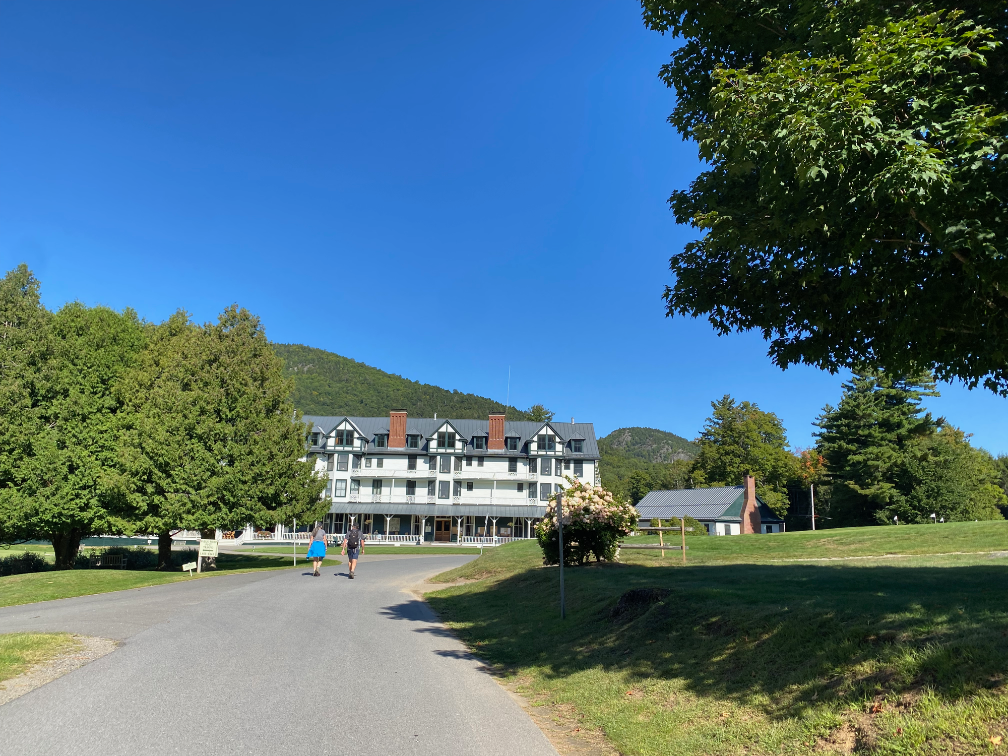
From the AMR parking lot, you must hike 1.2km along a road to reach the actual trail. This road is owned by the Ausable Club, an exclusive country club which allows hikers to walk on some of its roads, with a long list of rules that need to be followed. I walked past the golf course and main building, then turned left, avoiding a parade of golf carts. At the start of the West River Trail, I had to sign in with a gatekeeper and provide my destination and estimated return time.
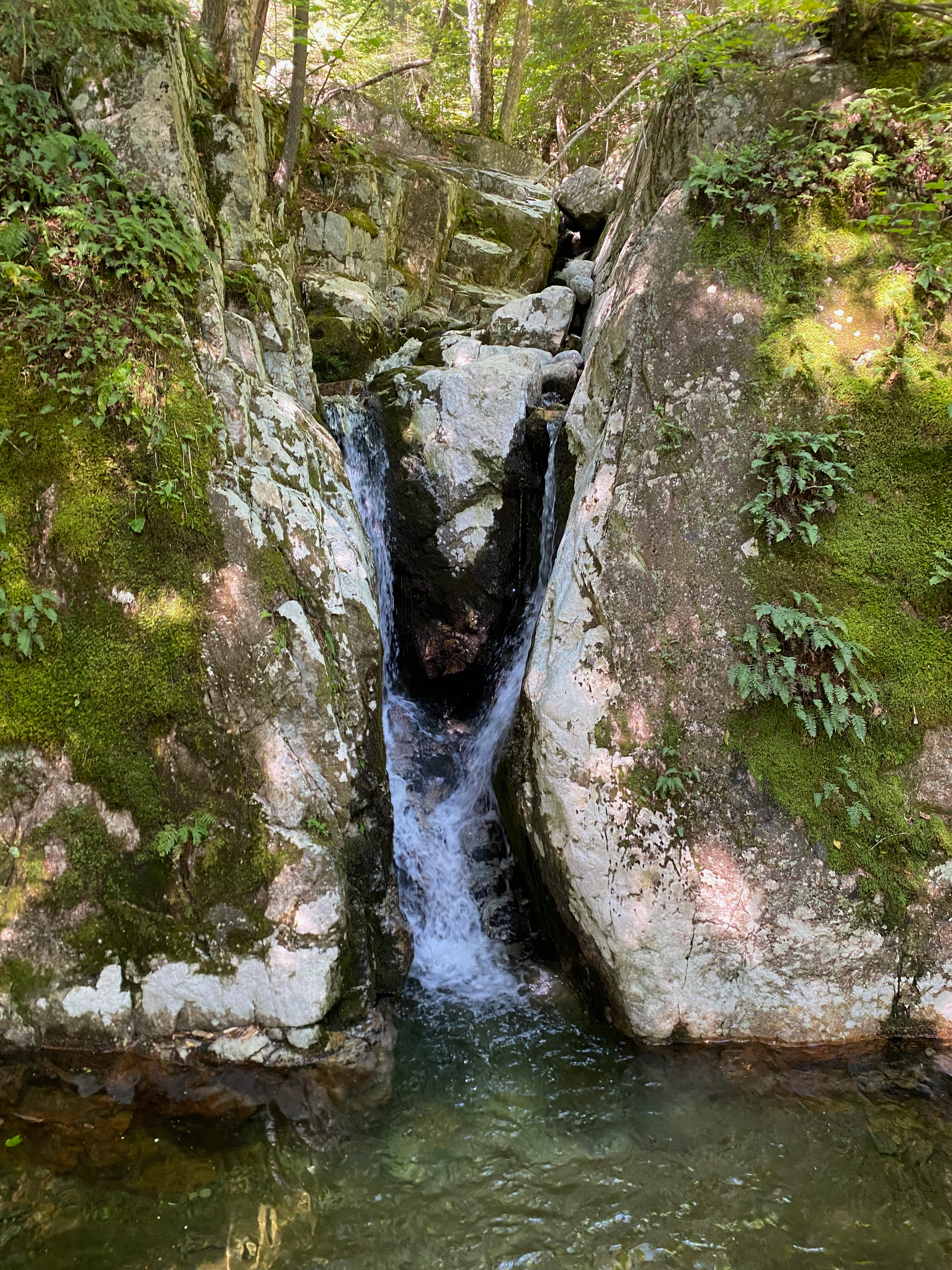
I headed northwest on the West River Trail, which followed the East Branch of the Ausable River westward. After about 3km I reached the scenic Wedge Brook Cascades and headed north on the Wedge Brook Trail, which ended at the notch between Upper and Lower Wolfjaw Mountain.
Lower Wolfjaw was a short out and back along the Great Range Trail with limited views. The Upper Wolfjaw summit was treed, but a nearby viewpoint had better views.
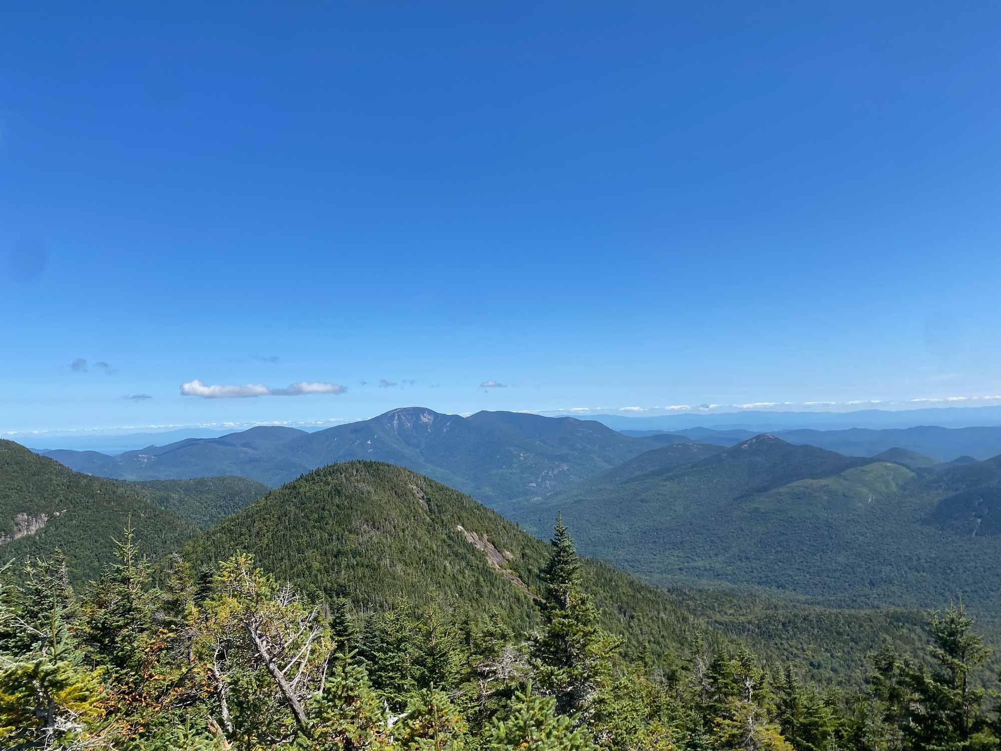
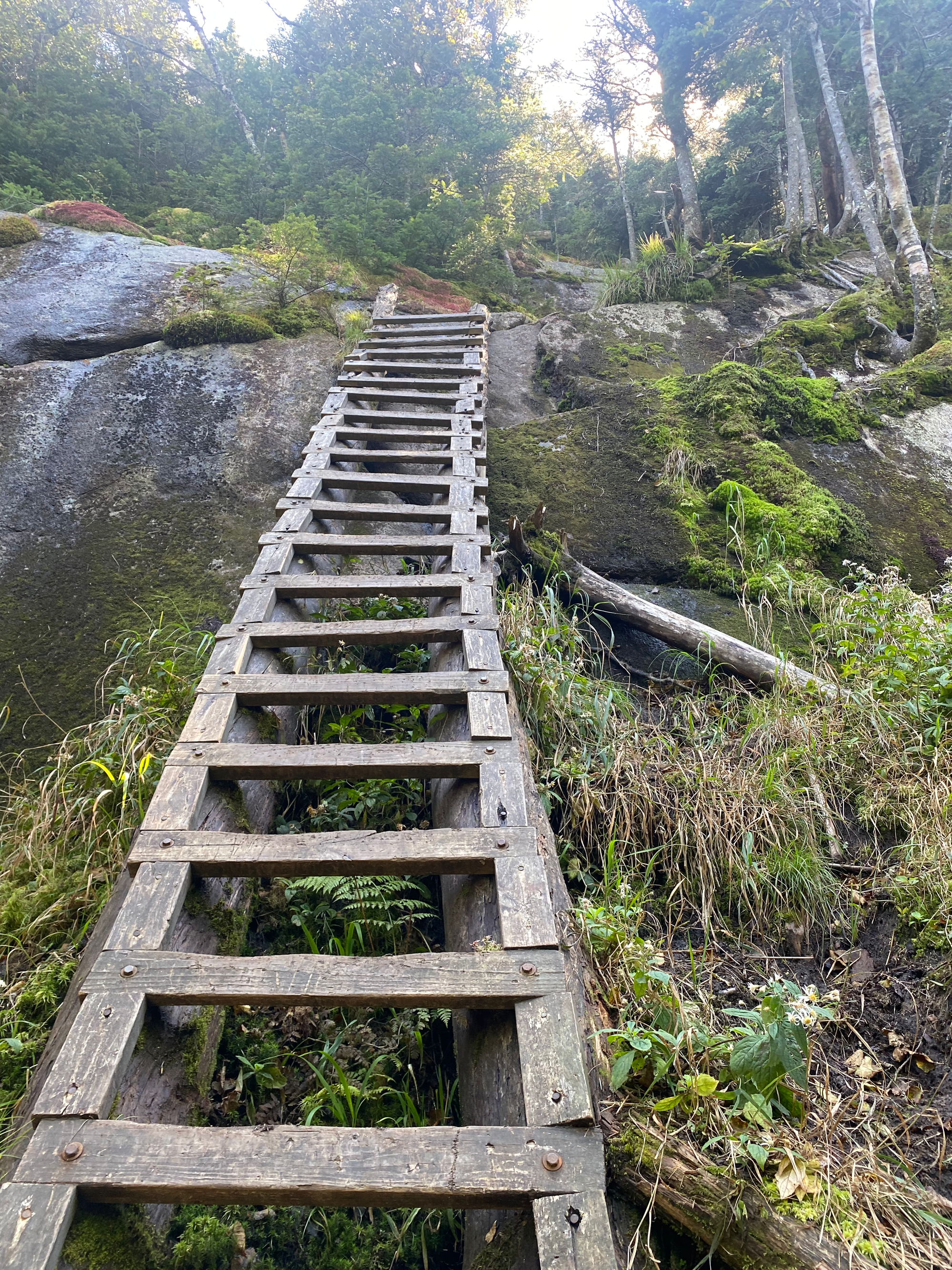
I continued southwest along the Great Range Trail, over the typical Adirondack steep rooty trails, bare rock, and ladders, to reach the summit of Armstrong Mountain. A granite perch just past the summit offered vistas to the north and west, including Gothics, the next objective.
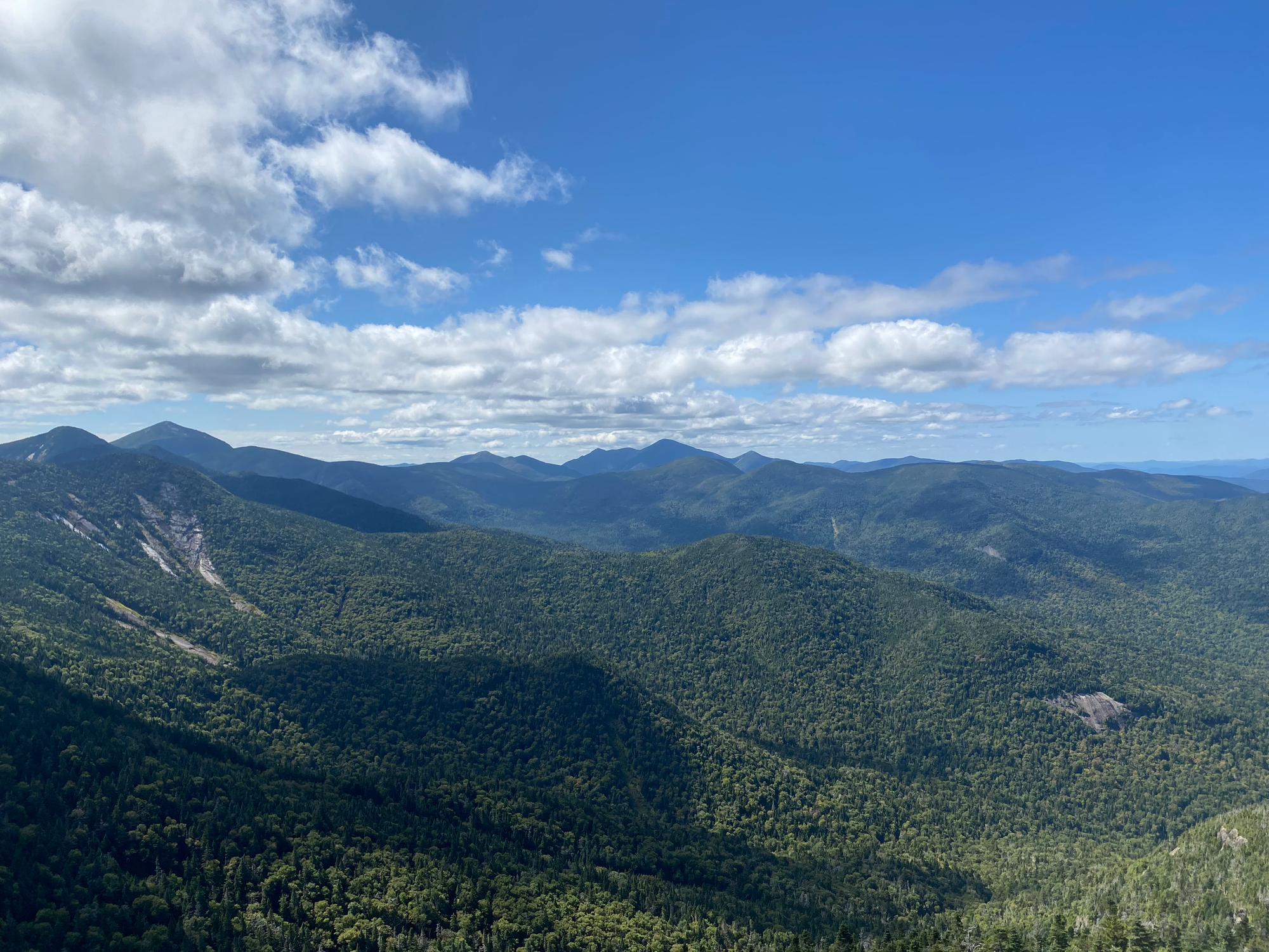
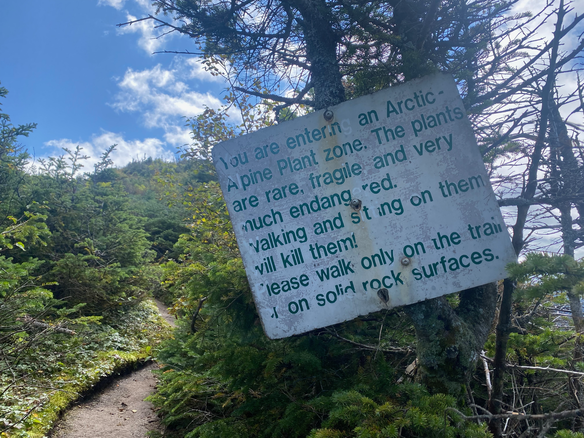
Gothics is one of the more dramatic Adirondack peaks, with steep rocky cliffs on its flanks visible from many other High Peaks. These cliffs, said to resemble Gothic cathedrals, give the mountain its name. It is one of very few mountains in New York with alpine tundra on its summit, so it has panoramic views in all directions. The lack of sleep was catching up to me so I took a short nap before continuing.
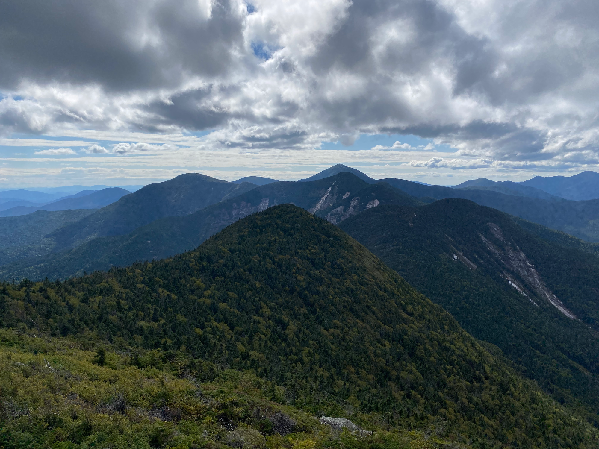
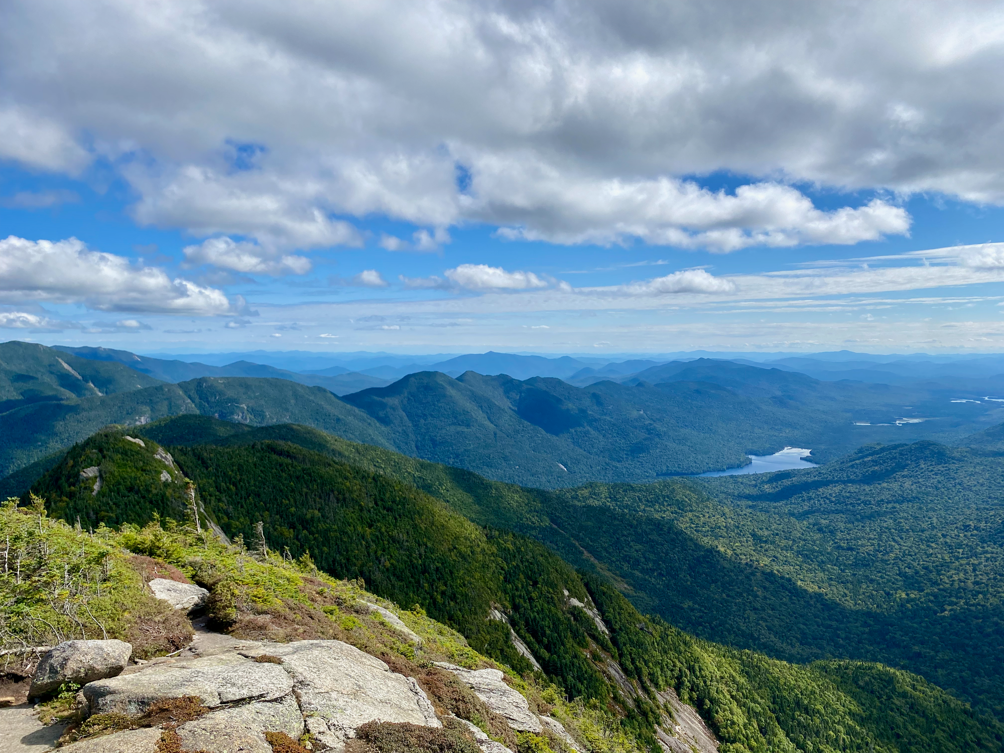
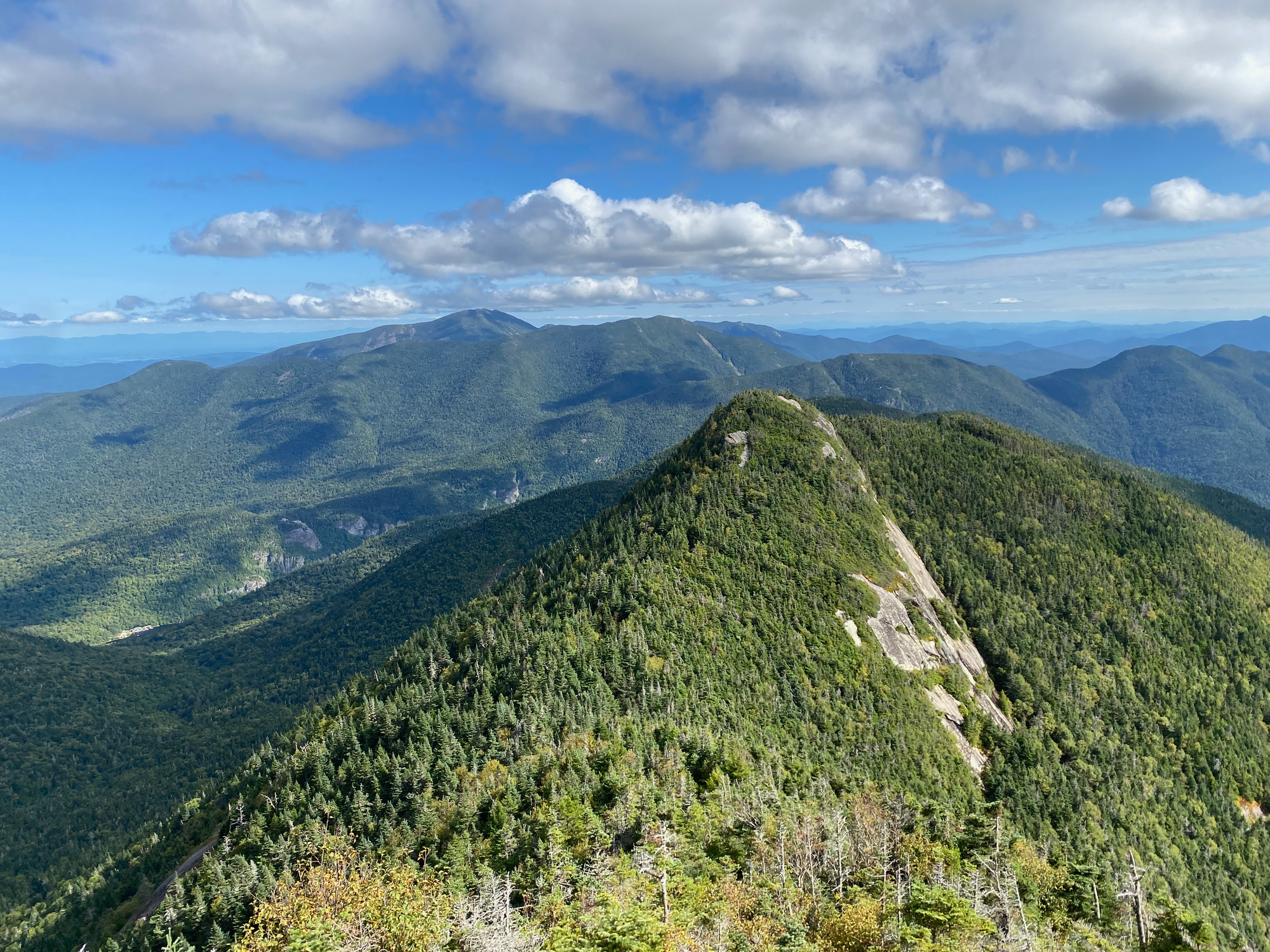
At this point, I didn’t have enough time to do Haystack/Basin/Saddleback, but Sawteeth, Blake, and Colvin were still on the table. I headed south to Pyramid Peak, a sub-peak of Gothics with a cool perspective of the dramatic cliffs along the ridge. Many people claim that this is the best summit view in the High Peaks area, although I’d personally rank Marcy and Whiteface higher. Trees block more of the view from Pyramid than I expected.
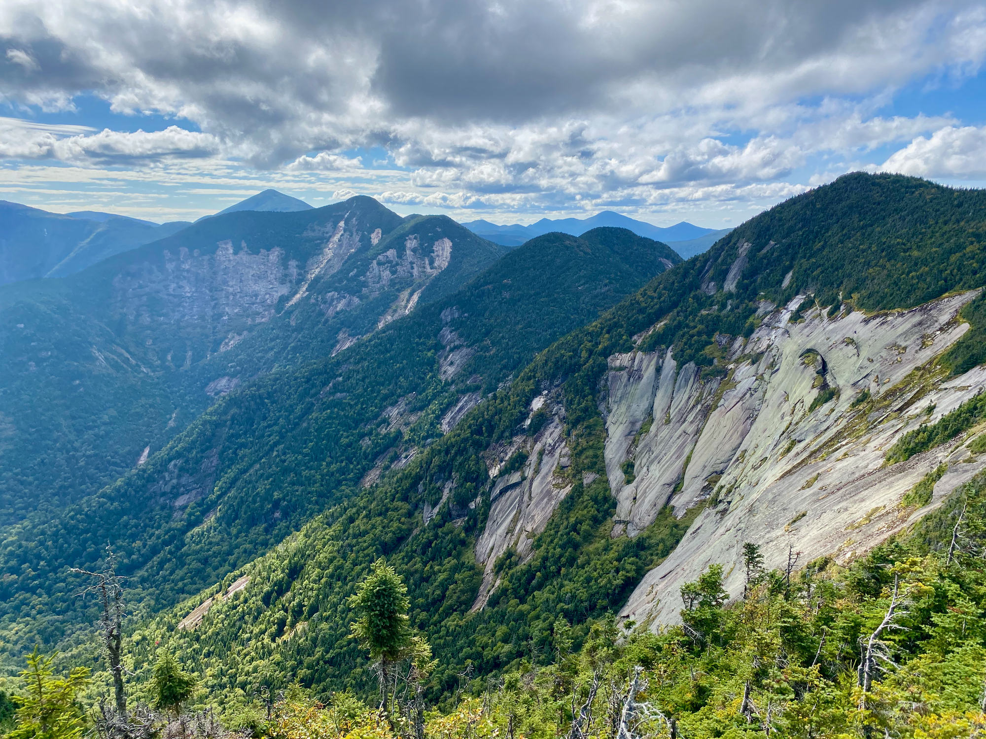
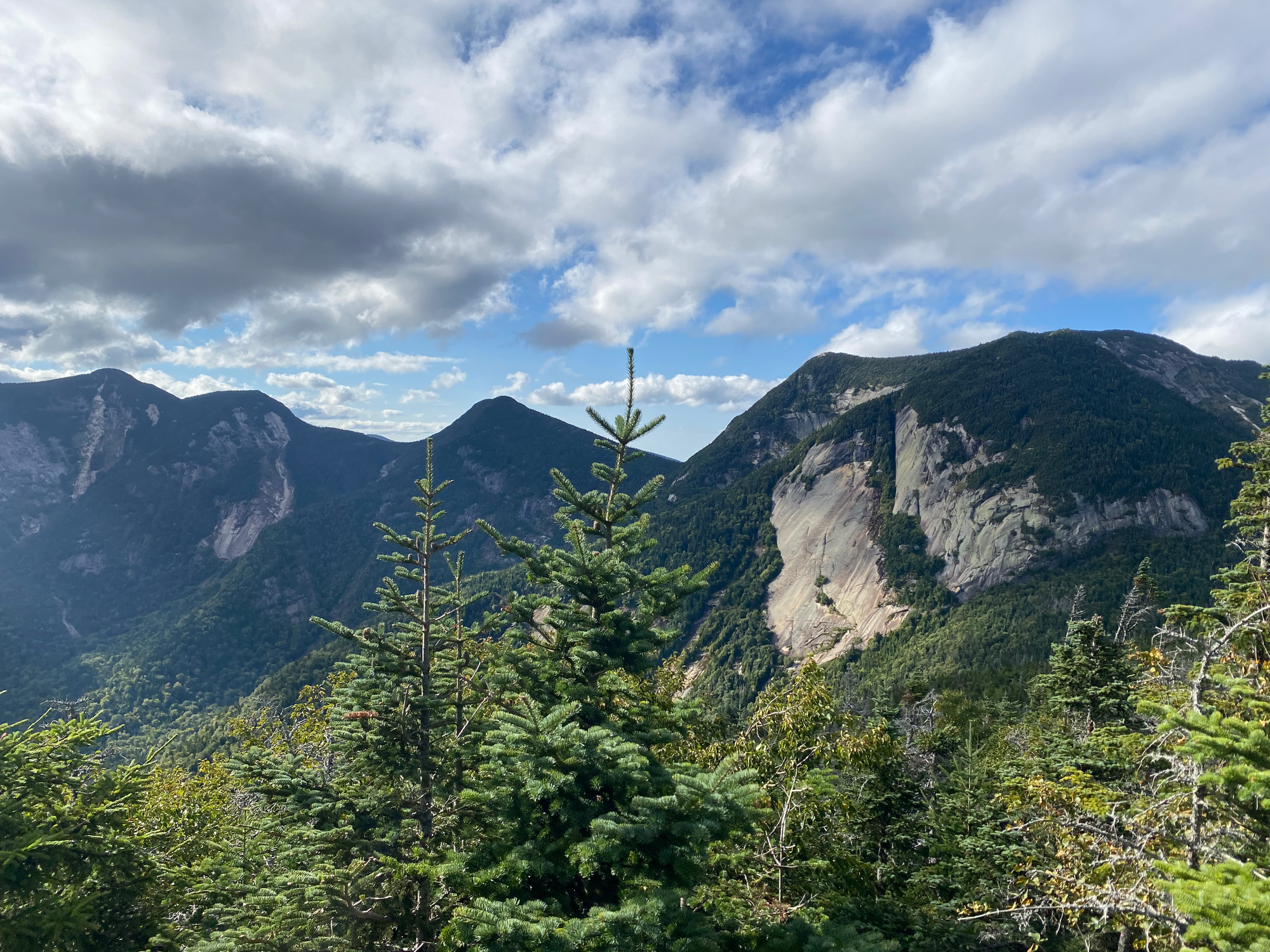
One more descent and ascent later, I was at Sawteeth. This was my last chance to bail on Colvin and Blake, but I didn’t do that, instead heading southwest on the South Sawteeth Trail. This trail is a bit more overgrown than other High Peaks herd paths but it was still easy to follow. 660 vertical metres later, I was at a warden's camp at the north end of Upper Ausable Lake, back in AMR territory.
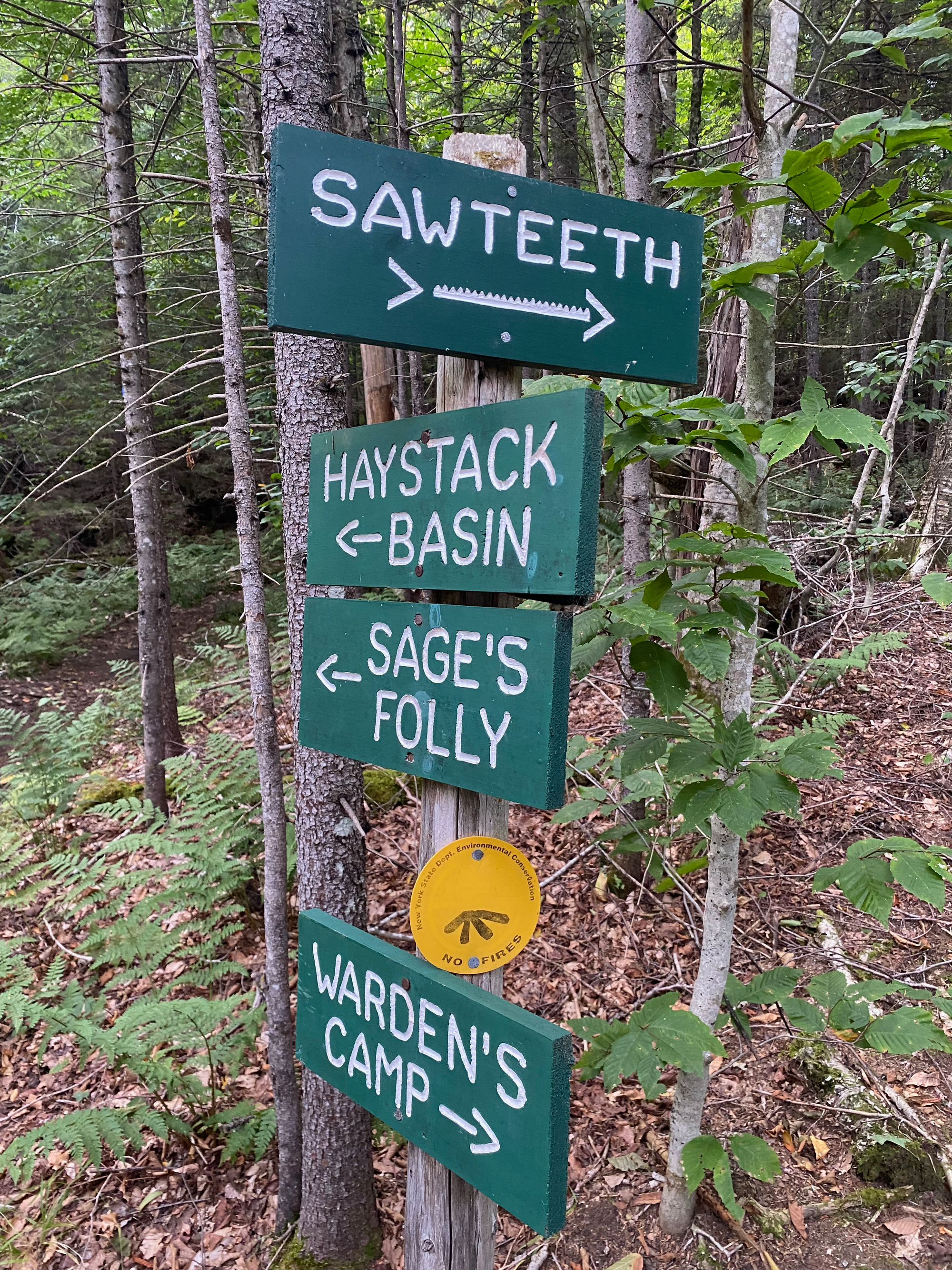
I followed the “Carry Trail” (a dirt road) 1.5km northeast to the south end of Lower Ausable Lake. No trail follows the lake shore: the fastest way back to the parking lot goes up and over Mount Colvin.
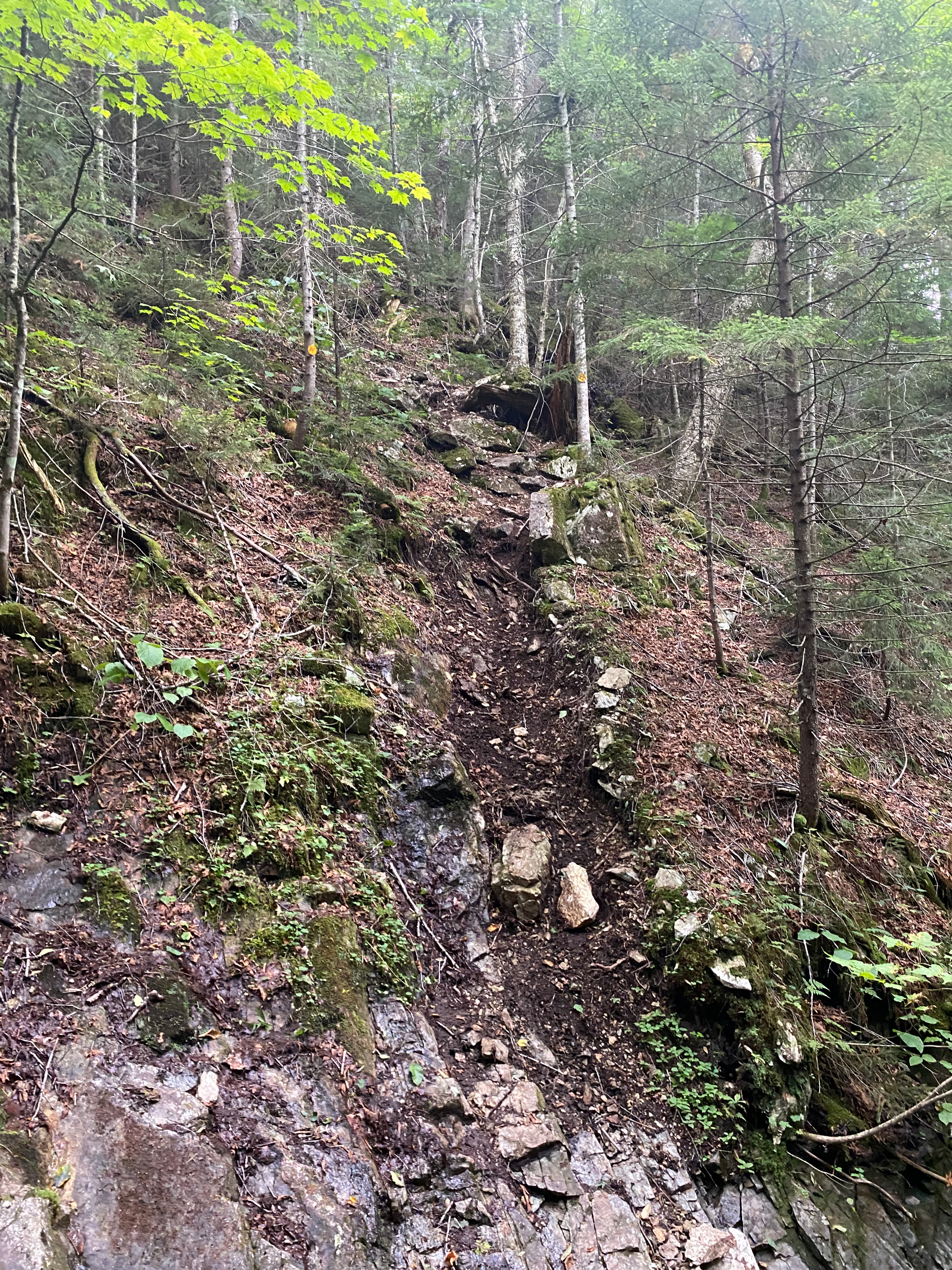
My next challenge was the Elevator Shaft trail, which ascends a gully, gaining 450 metres in 1.3km. It was time to regain the elevation I lost on Sawteeth. As expected, the Elevator Shaft is quite steep, climbing the actual creek bed in places.

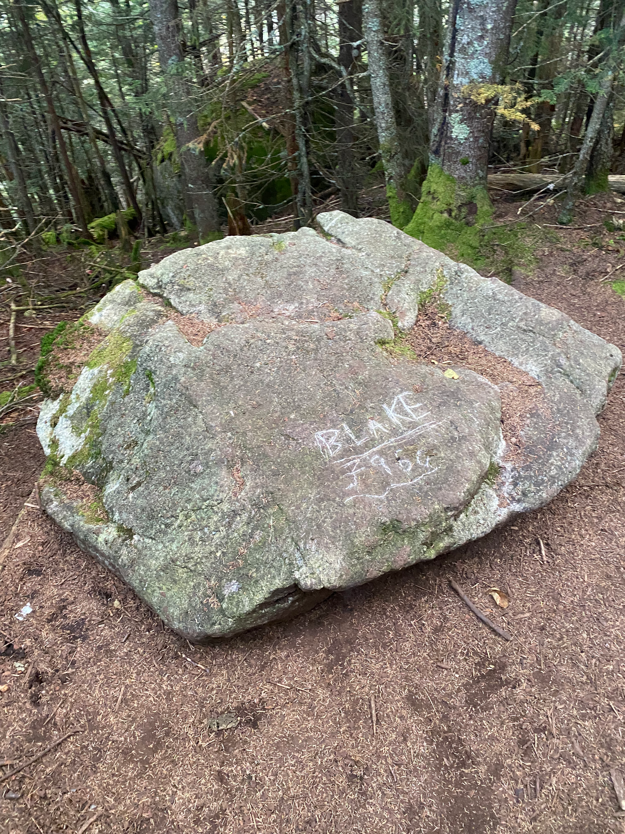
At 1050m I reached the col between Colvin and Blake, then did a quick out-and-back to Blake, negotiating some more scrambly sections on bare rock. Blake has no views whatsoever. I quickly returned to the col.
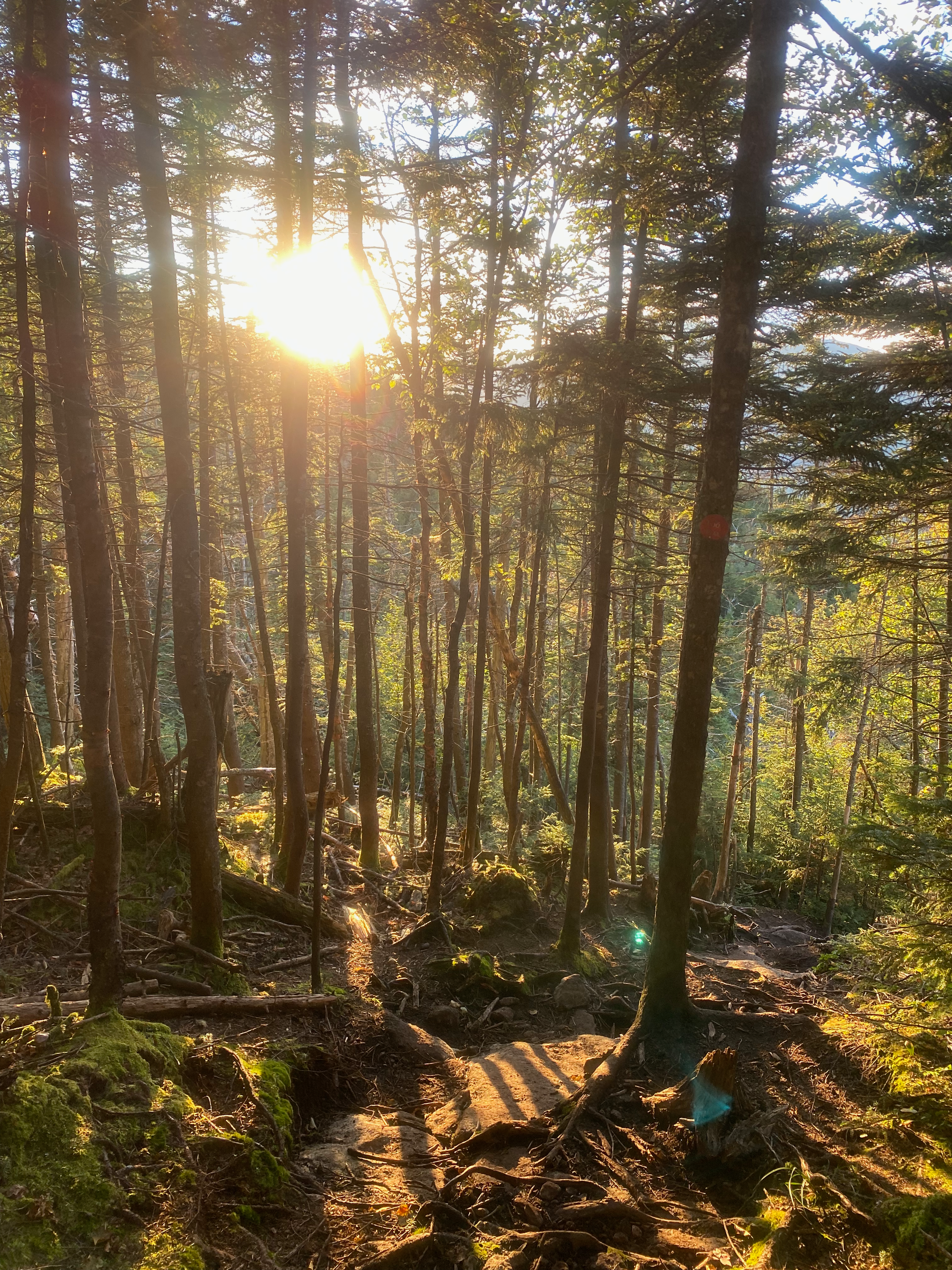
It was time for the last ascent of the day. Sunset was approaching and the forest was getting darker. I arrived at the summit of Mount Colvin at sunset; despite being shorter than Blake, it has a much better view, including all the peaks I’d visited earlier. Behind the Great Range, the sky glowed bright red.
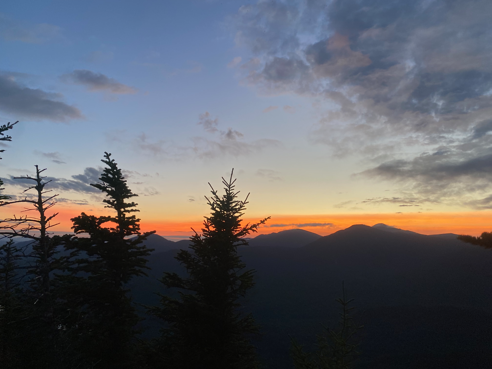
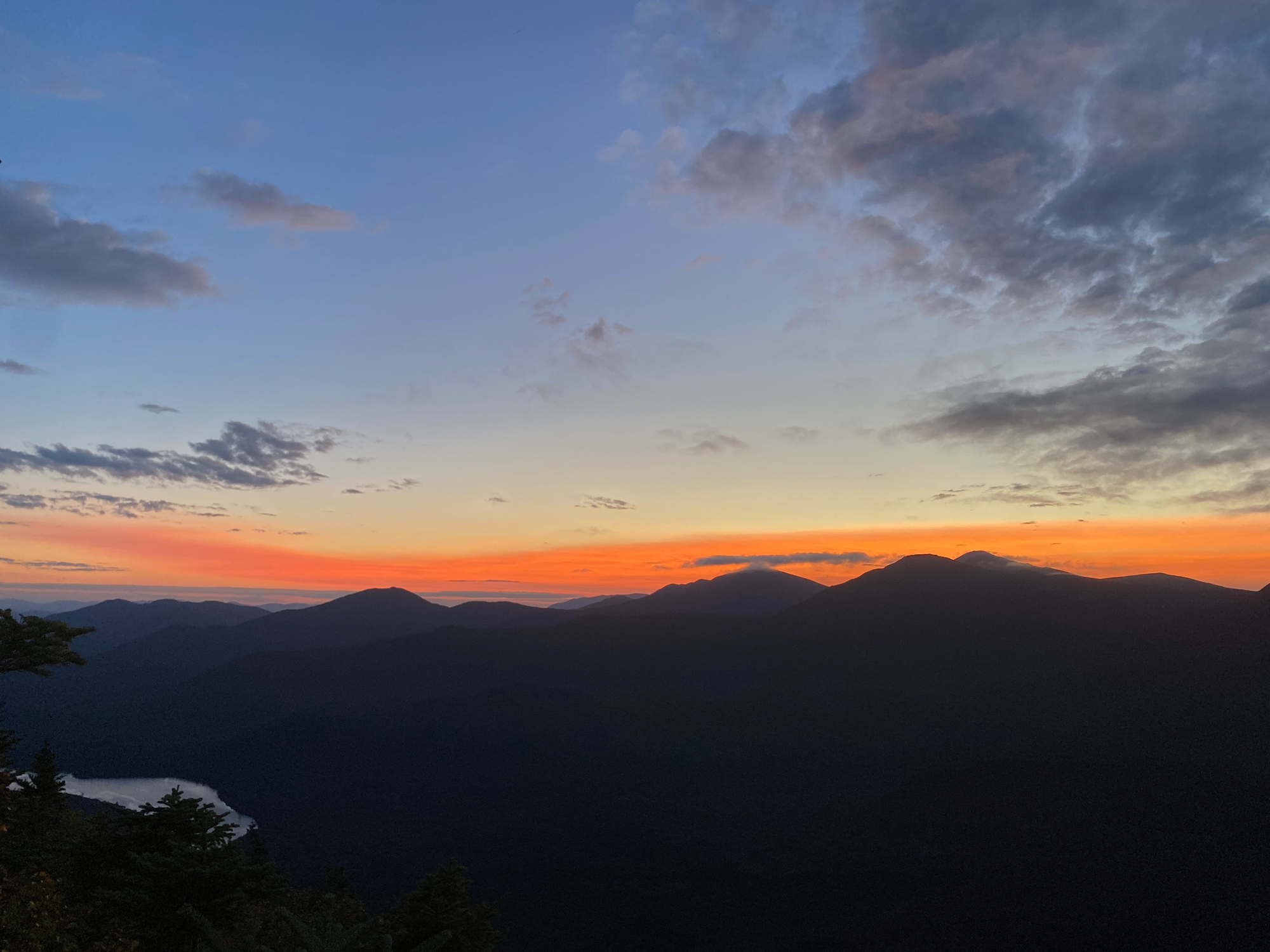
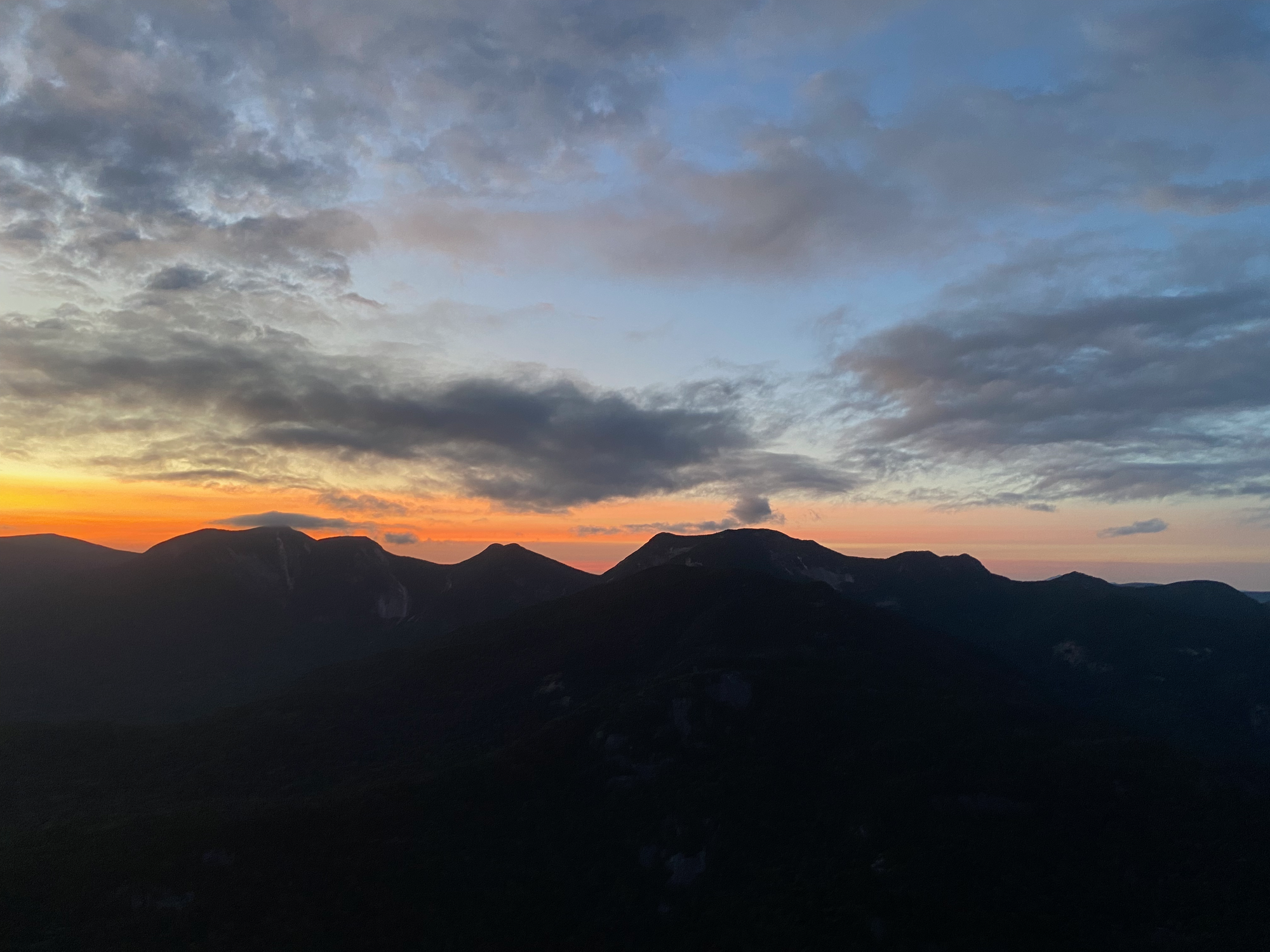
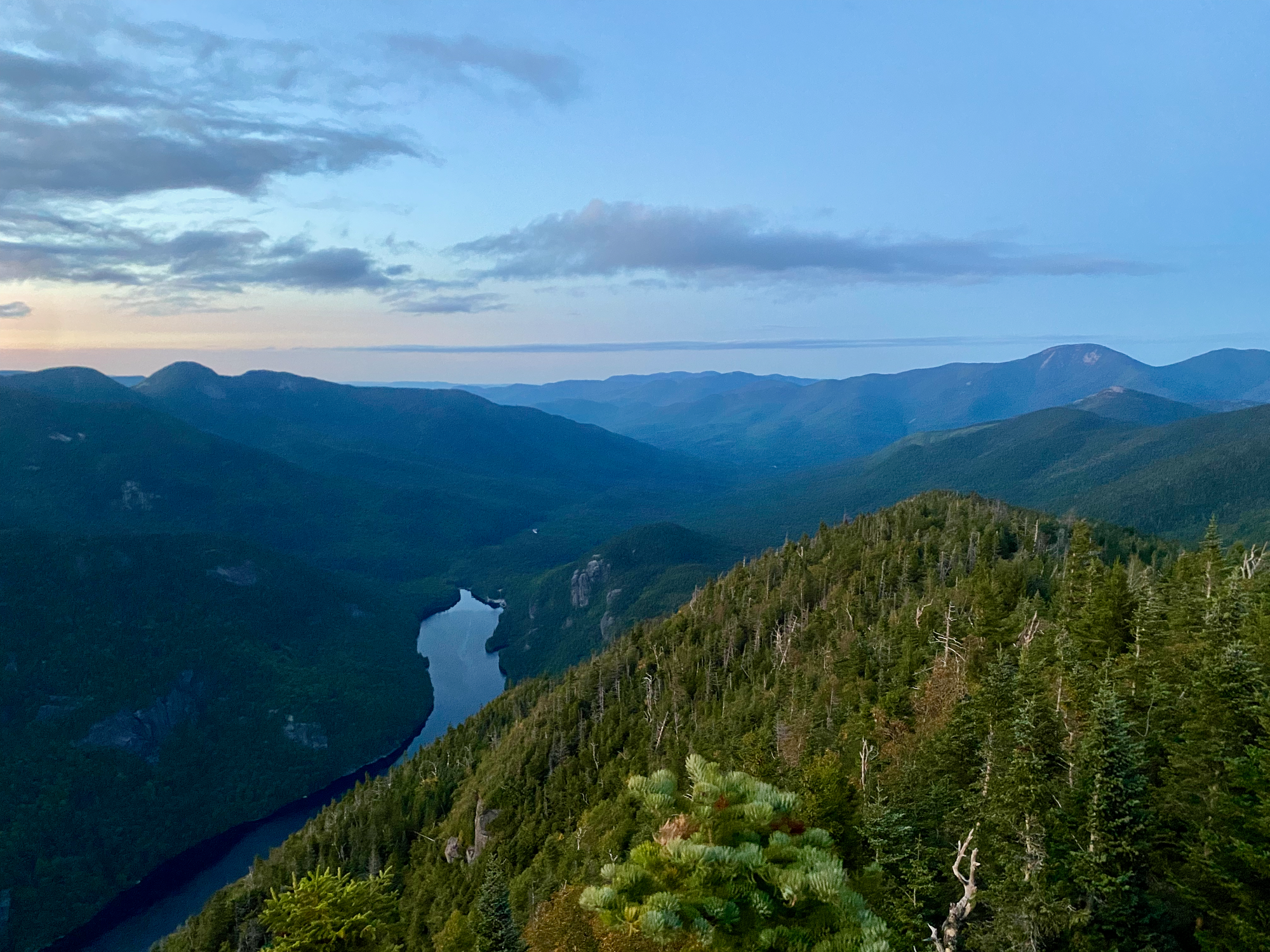
I’d expected that I might return in the dark, so I wasn’t too concerned about the sunset. I took my headlamp out and walked down the Gill Brook Trail as the light faded. I eventually reached Lake Road, about 4.5km away from the Ausable Club. At one point I heard a large animal rooting around in the bushes, but some extremely poor singing scared it off quickly. Some more kilometres later, I made it back to the car. The gatekeeper had left, but the gate is automated, allowing exit anytime (although you can only enter between 5am and 7pm). I spent the night at one of the rare free car-camping spots in the High Peaks area.
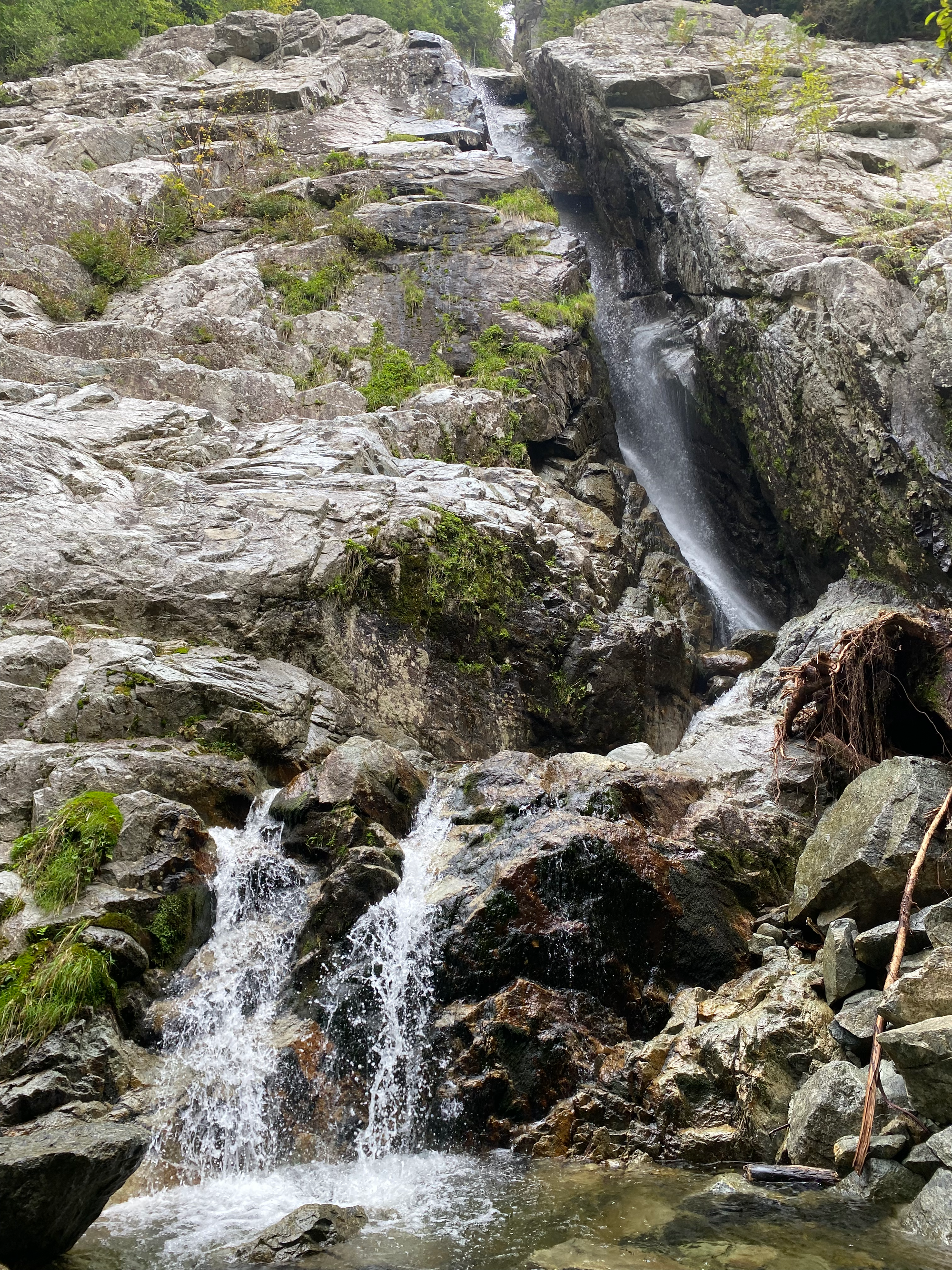
To end the trip I made a quick visit to Roaring Brook Falls. On my first Adirondack trip, we started here and attempted to hike to Giant Mountain, but we had to turn around. On the way we’d stopped above the waterfall. Now I was here again on what would be my last Adirondack hike for a long time. It seemed like a good way to end the adventure.


Member discussion