Barkley Horseshoe part 1: Hurley Silver Mine Peaks

Date: September 20-22, 2025
Distance: 18.9km (Barkley Valley loop + Hurley detour)
Elevation gain: 1993m (Barkley Valley loop + Hurley detour)
These are two small bumps on a ridge north of Duffey Lake. They're included in the Scrambles in SWBC guidebook, but they're rarely done.
The biggest issue is the access. The road described in the book is extremely overgrown and impassable, even by coastal BC standards, and passes a St’at’imc Nation protest camp. Do not take this route. Some parties have crossed Duffey Lake in the winter then gone straight up the side of the mountain, but this seems like a long, tedious grind with significant avalanche risk. The ridge running west from Mt. Rohr to the silver mine peaks has been done as a trail run and on skis, but most parties will take the Scrambles route down, running into the same access issues. This leaves the fourth option: an ascent from the Barkley Valley to the northwest. A trail leads most of the way up this valley, then you can hike up talus slopes to gain the ridge, a gentle ridge walk interrupted by a short section of exposed but straightforward class 3 scrambling. This approach has gained some popularity online recently.
I hiked along the ridge on the north side of Barkley Valley from “Billy Peak” to Twin Lakes. Along the way, I did an out-and back detour to the silver mine peaks.
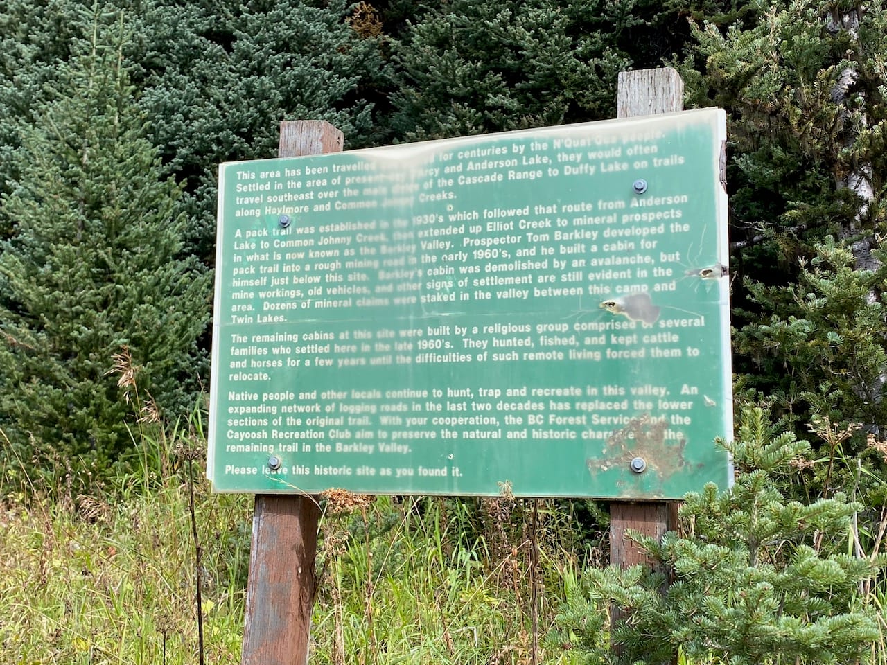
The Barkley Valley has a fascinating history. The N’Quatqua people called it “Lawlaton”, meaning “Paradise”, for its plentiful game. The valley was considered a place of spiritual significance. In the early 1960s, prospector Tom Barkley built a cabin, mine workings, and a road; only the road remains now. In the late 1960s, a religious group set up a community near the site of Barkley’s cabin and prepared to wait out the apocalypse. After a few years, they moved on, but their ruined cabins and abandoned cars can still be found in the valley. My sources for this information were the interpretive signs along the trail, and this fascinating Pique magazine article, which includes an interview with Lloyd Forman, founder of the religious community.
The weather looked dicey in most places but there seemed to be a weather window north of Pemberton. I drove to the Twin Lakes trailhead via Pemberton Portage Road and the Haylmore Creek FSR. The FSR is used for active logging and was in surprisingly good shape. Many 2wd vehicles could make it to the trailhead, a rarity this deep in the backcountry. Along the way I passed a First Nations man collecting firewood.
The Barkley Valley trail follows Tom Barkley’s old road. It's in decent shape so I brought a bike to save time. Some parties skip the first 1.5km of this trail by driving further along the Haylmore, then bushwhacking 100m uphill to regain the trail, but this wasn't practical with the bike.
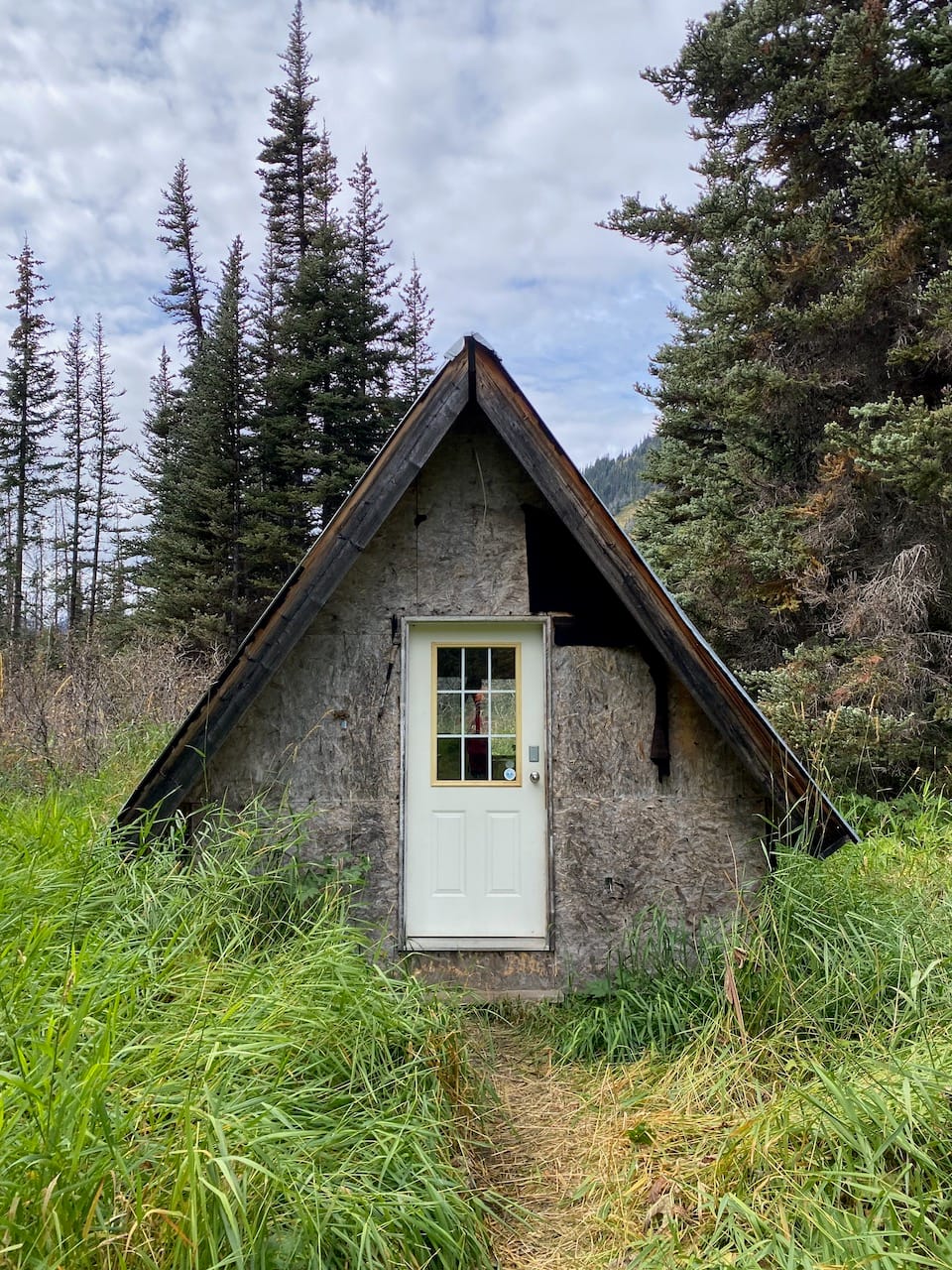
At 4.8km from the trailhead , there is a cabin at the site of the old homestead, built around 1997 (https://bivouac.com/FtrPg.asp?FtrId=299). There is a flag inside signed by many descendants of the homesteaders. I stashed the bike near here and continued on foot.
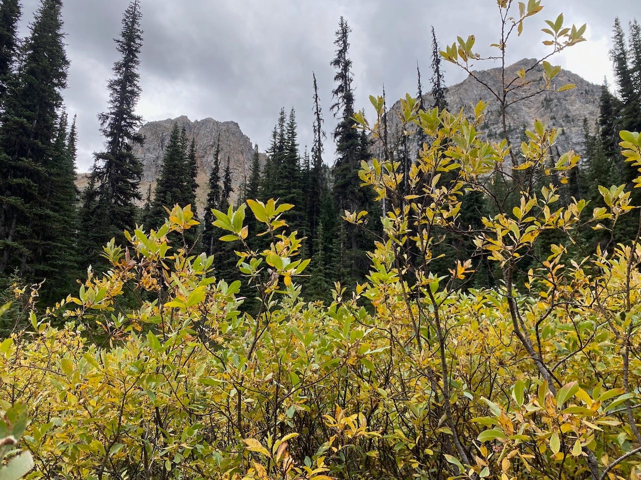
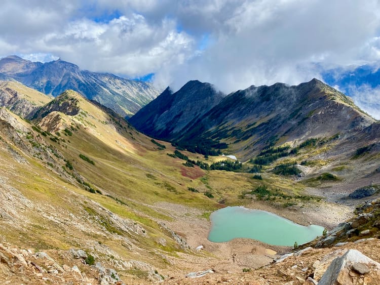
After a couple kilometres, the trail split and I took the western branch further along Elliot Creek. The trail was much more faint from here, with some deadfall, and eventually faded out in a willow meadow that reminded me of the Rockies.
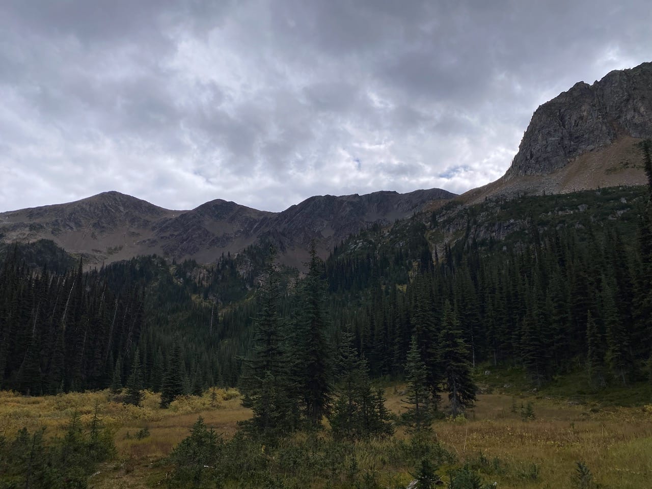
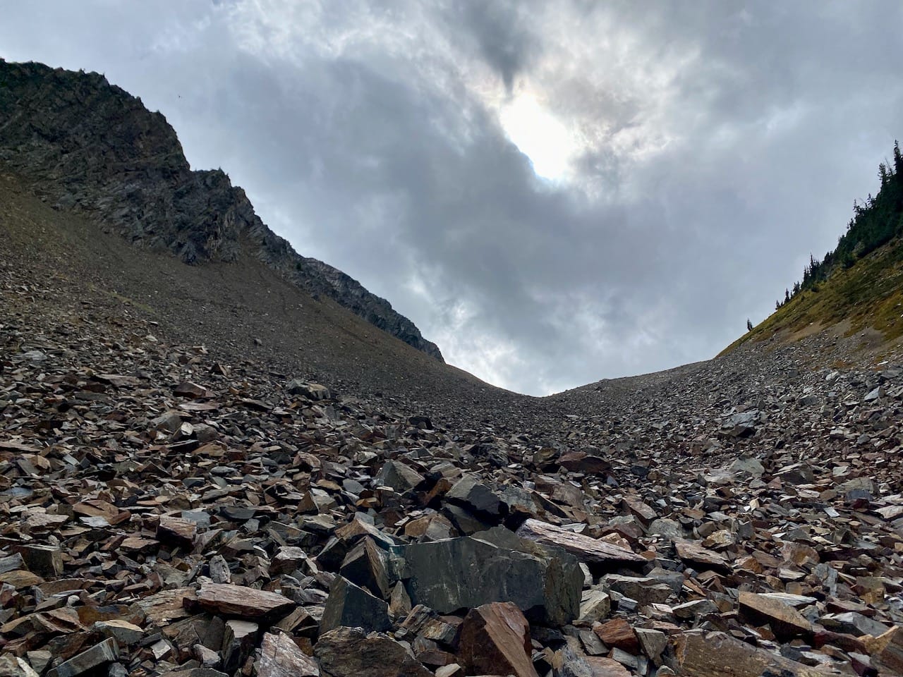
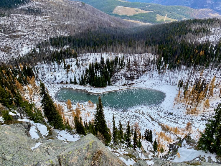
I followed the creek for a while, then headed uphill, walking through a talus-filled valley to reach a lake.
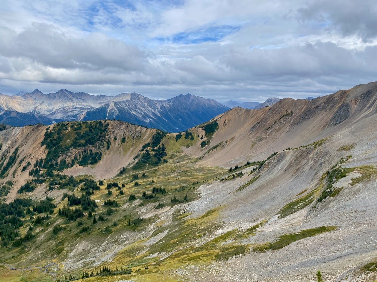
From here, I could see “Billy Peak” (Bivouac name) and Billy SW1, marking the ridge I wanted to be on. A short steep talus climb took me to the summit of Billy SW1, revealing views across the Cayoosh Creek valley. You could easily skip Billy SW1 if you wanted to.
From here the silver mine peaks could be seen further down the ridge.
A goat trail has formed along the ridge. The biggest obstacle was a short section of class 3 scrambling with some exposure. This was a bit tricky with my recovering ankle, but I managed it.
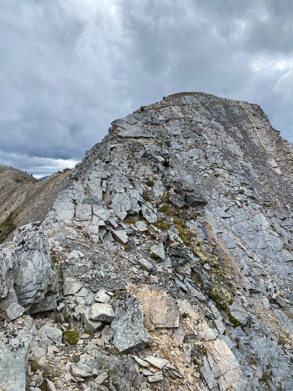
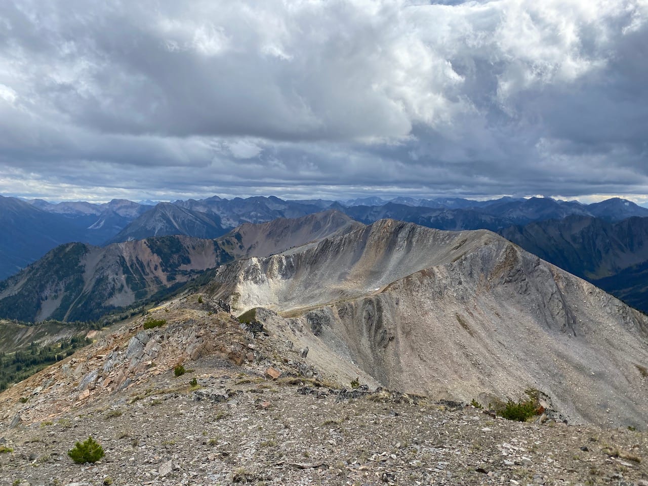
Past this point, there were no technical difficulties; I walked along the ridge admiring the views, reaching the north peak and eventually ending up at the south peak.
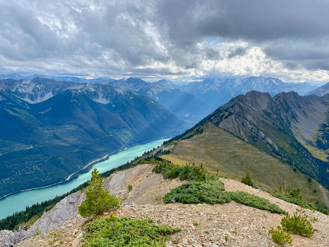
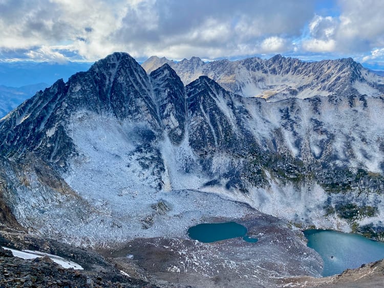
The south peak is directly above Duffey Lake and offered the best views of the day. Personally, I think Mt. Rohr offers better views (and Rohr is far more accessible), but this peak has an interesting perspective on the Rohr-Hurley ridge and a cool view of Duffey Lake that you don't get from Rohr.
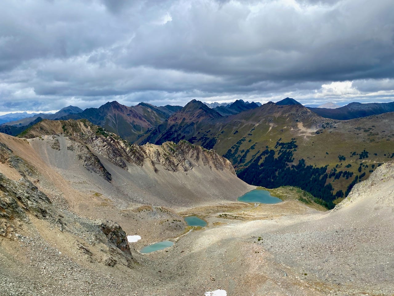
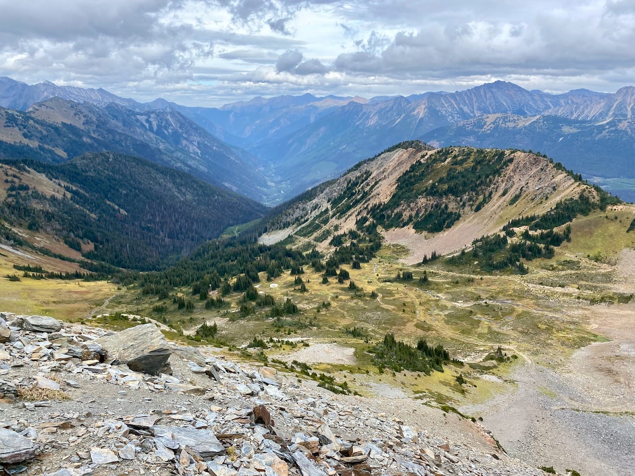
Some mining ruins could be seen in the basin below me but I didn’t want to explore. The wind was picking up and the clouds on the horizon were darker.
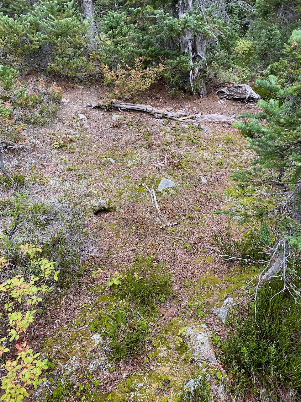
I returned the way I came, except for a detour to bypass the scramble part. A scree slope to the east led to a bench, which I followed to regain the ridge east of Billy S1. It started to rain. I made it to the uppermost lake to the north of the ridge and set up camp there, avoiding the drainage basin containing the Hurley silver mine.
The next day, I continued along the ridge to Elliott Peak and Twin Lakes.
Member discussion