Harrison Lookout/”Hale Peak”

Date: February 20, 2026
Distance: 3.54km
Elevation gain: 364m
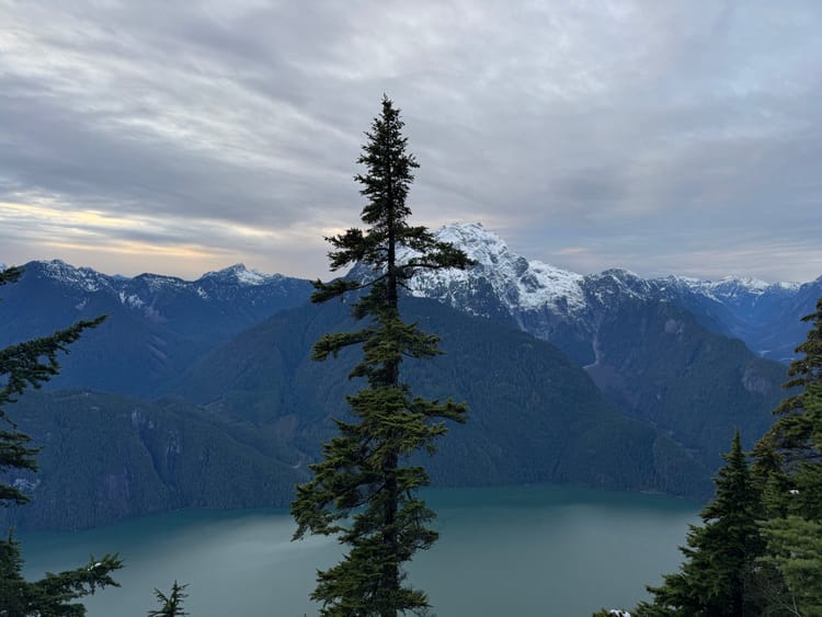
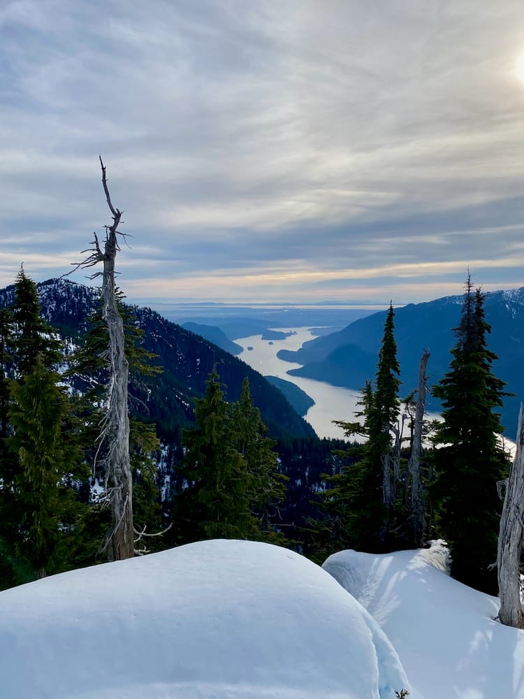
As its name suggests, the Harrison Lookout is a fire tower on top of a small hill. It provides easily accessible views of the southern half of Harrison Lake and the mountains beyond it. Access requires almost two hours on a gravel road, so it’s probably not quite worth the trip on its own, but it’s a highly recommended detour if you happen to be in the area.
The trail is accessed from the Sts’ailes (West Harrison) FSR, which follows the west shore of Harrison Lake. When I went, there were many sections with several potholes, although a careful 2WD driver could make it to the trailhead.
After around 24.5 kilometres, turn right (northeast) on a spur road. As of 2026, this spur is in similar condition to the main road. The trailhead is about 550 metres past the turnoff.

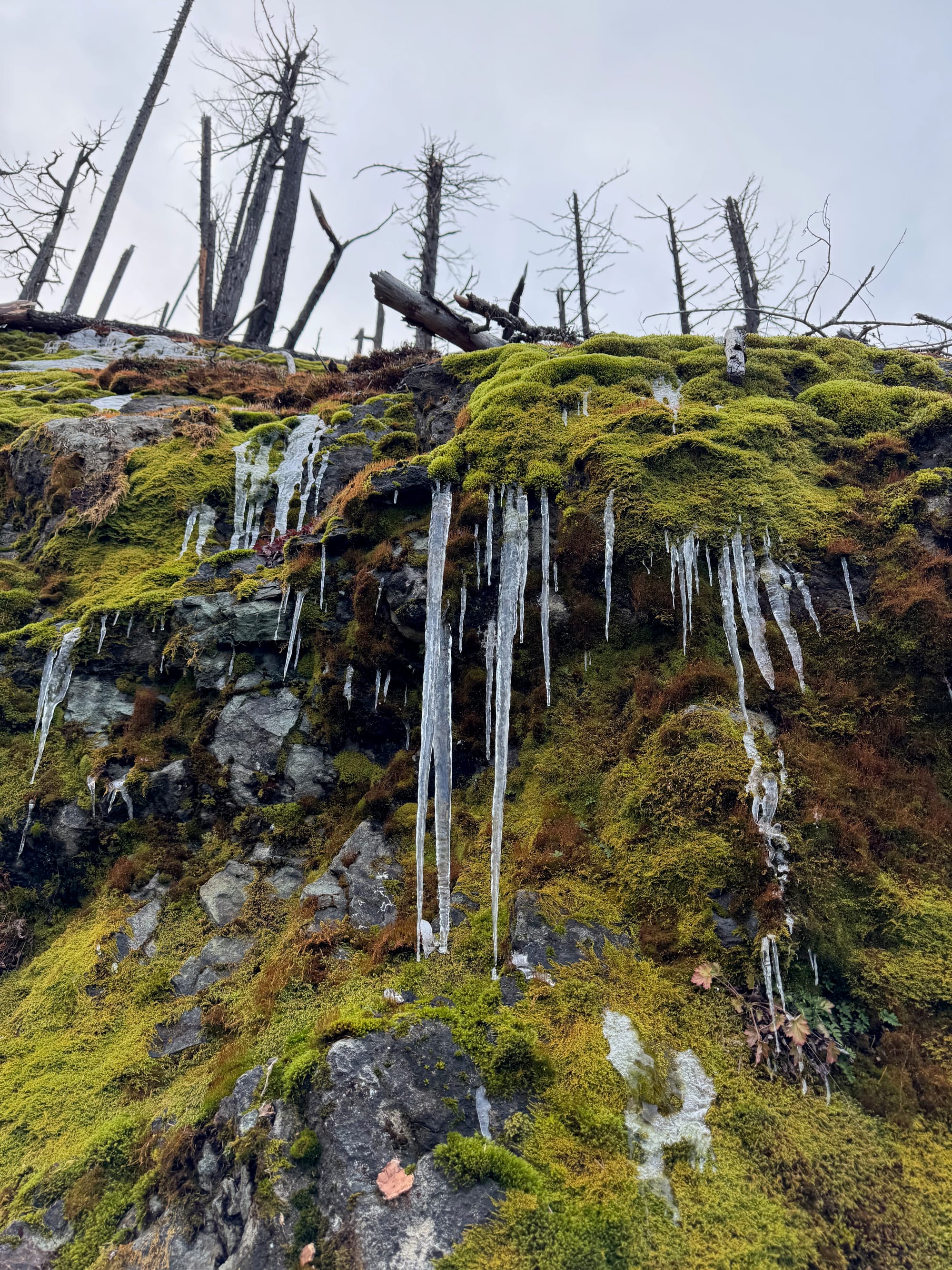
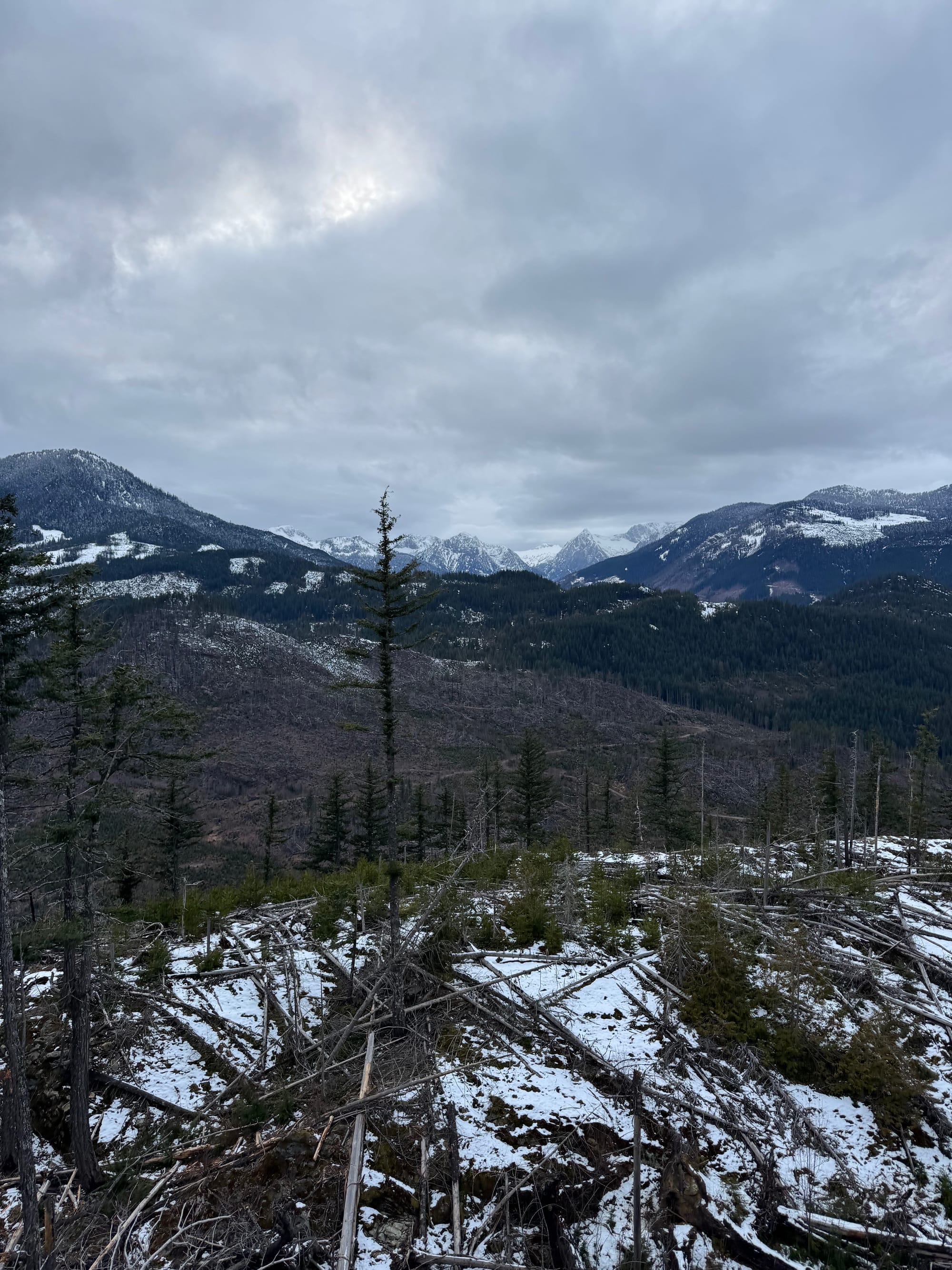
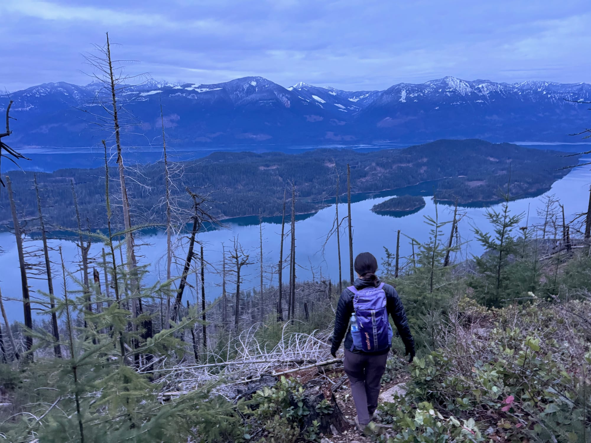
The trail starts on an abandoned FSR marked by a signpost and an old metal culvert. The route is surprisingly well flagged. It curves around the southeastern face of the hill, then leaves the FSR and begins to climb. There was some deadfall here and a few icy sections.

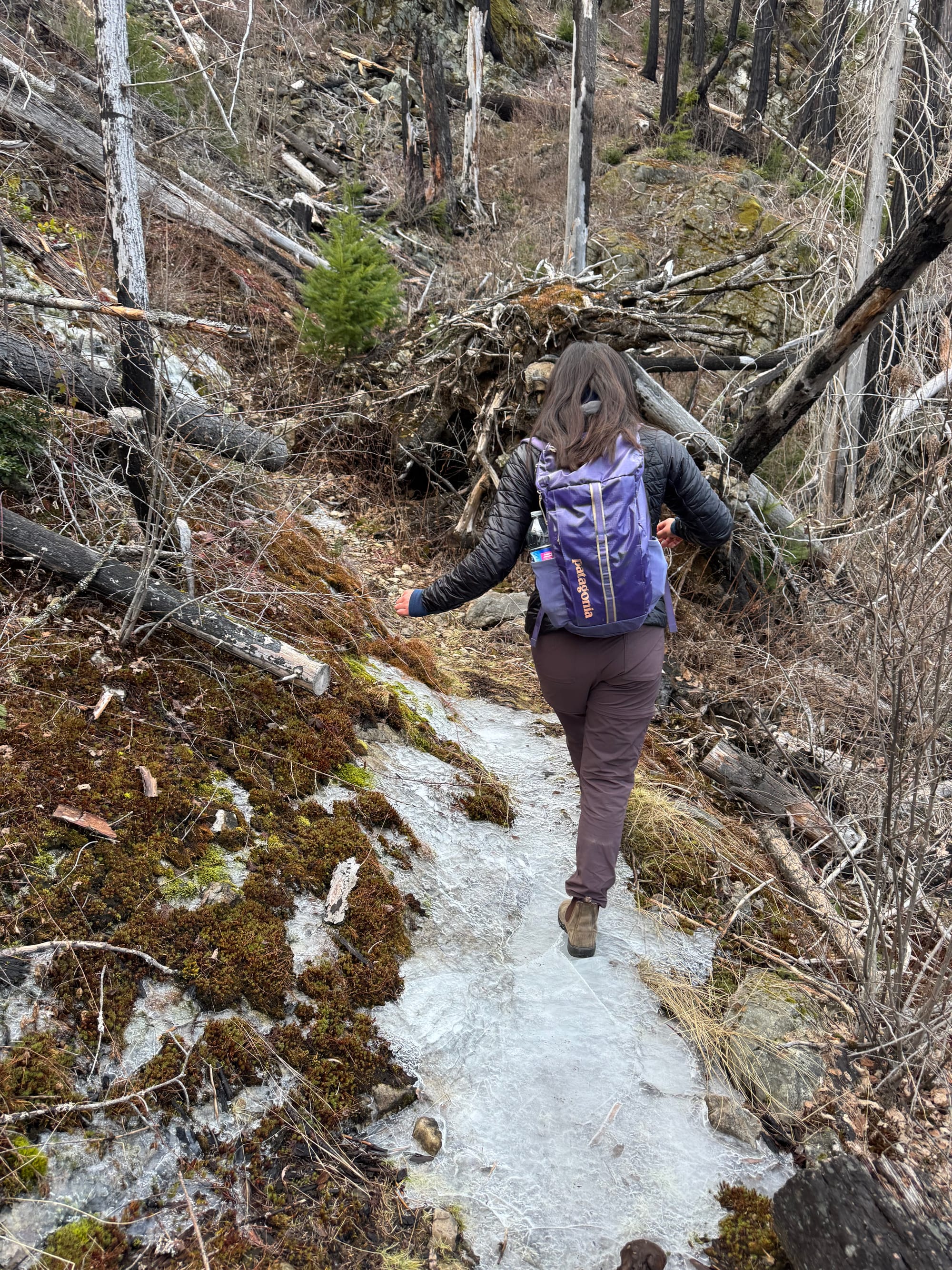
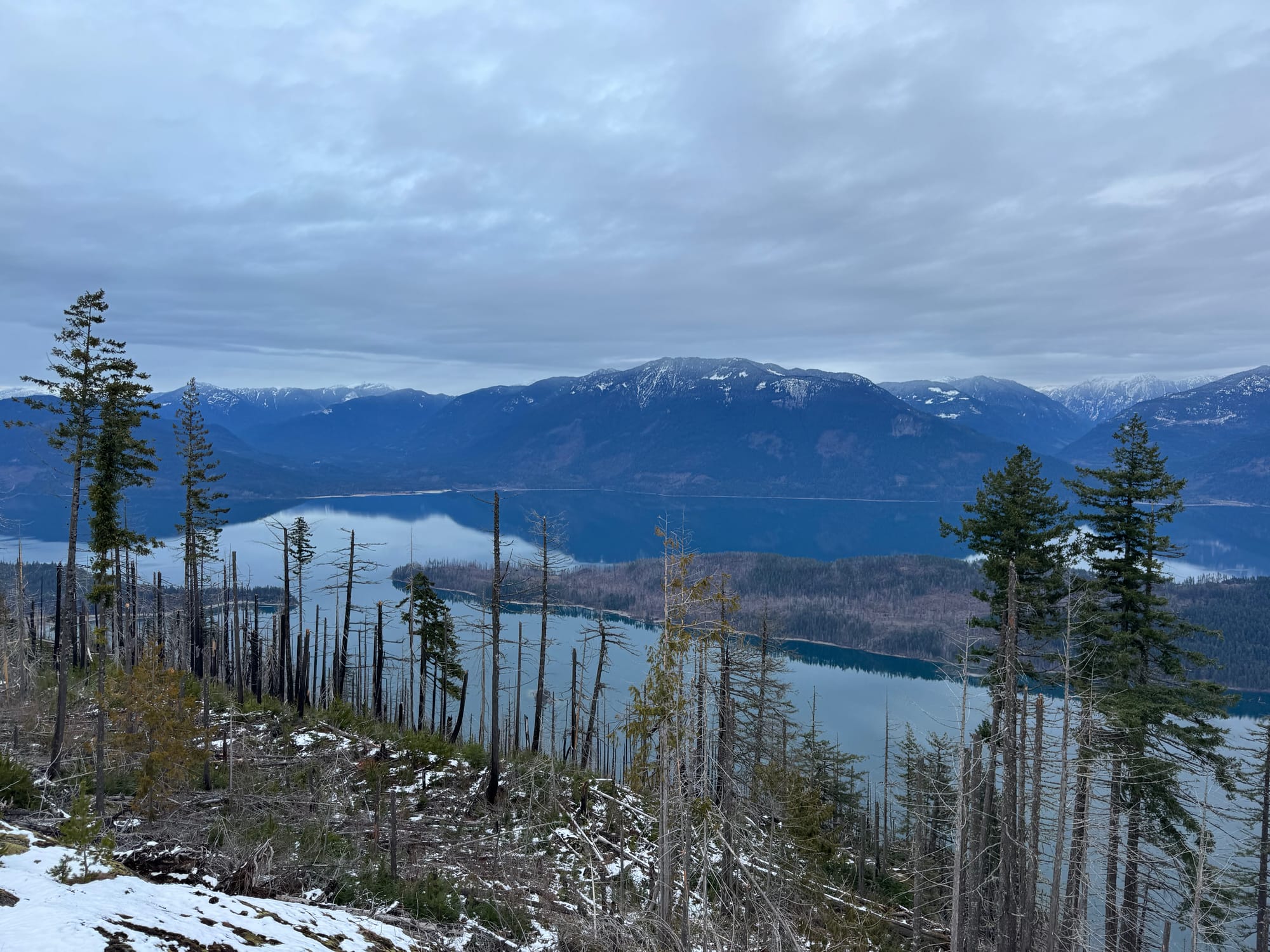
The whole area was burned in a recent wildfire, giving the hike an eerie feeling. There are good views through the trees.
For most of the hike, it feels like you're almost at the summit, but this is not the case. Eventually we reached the summit, which has a recently restored fire tower. The tower has a very sketchy rope swing.
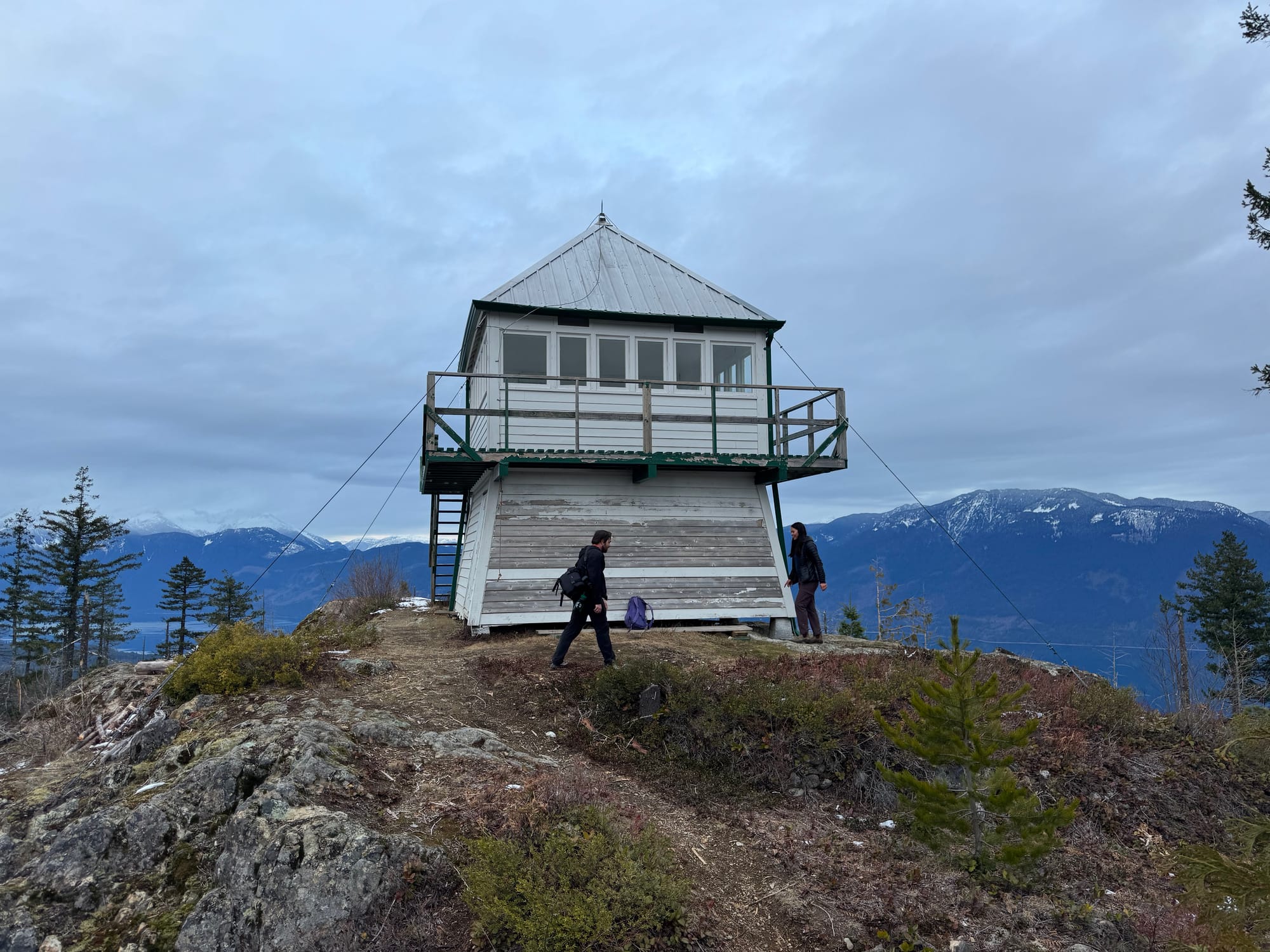
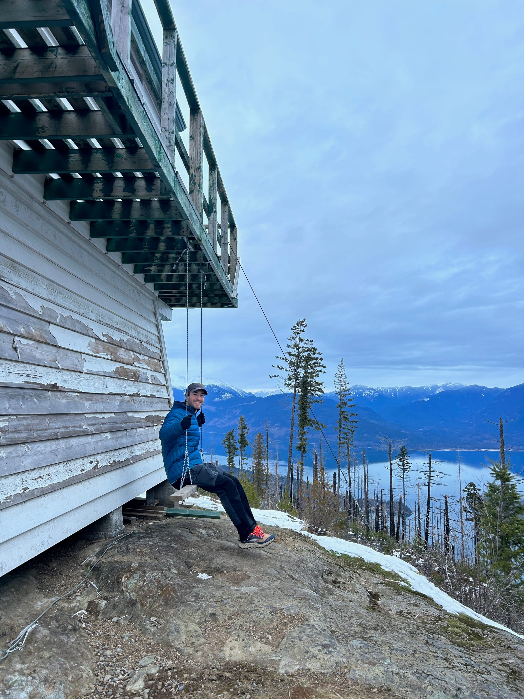
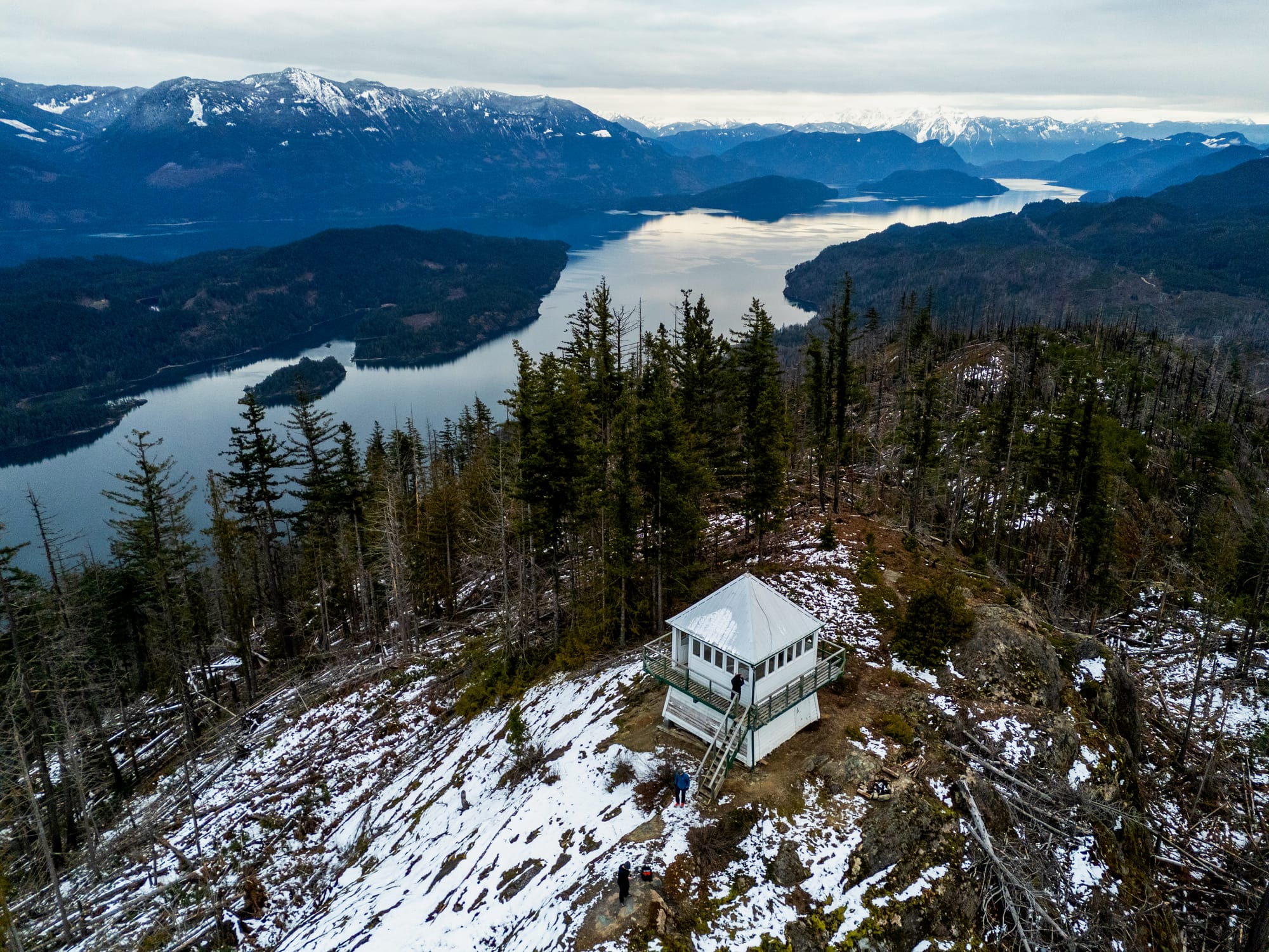
From the platform, there are views of Harrison Lake, Long Island, the Old Settler, and more distant peaks to the west and south.
It was getting late, so we retraced our steps, reaching the cars around sunset.


Member discussion