Greater Chimgan
Date: July 2, 2024
Distance: 13.57km
Elevation gain: 1611m
Greater Chimgan is one of the taller peaks in the Chatkal range northeast of Tashkent, Uzbekistan. Unlike its neighbours, Uzbekistan isn’t known for mountains or hiking, but they still can be found. The area around Greater Chimgan is a popular day trip from Tashkent, as well as a retreat for locals escaping summer heat, but the hike all the way up the peak is less popular.
Finn and I had some time to kill in Tashkent and this hike seemed ideal. We woke up somewhat early and took a Yandex taxi to the trailhead, south of the village of Chimgan. The trip lasted about two hours and cost around $20 CAD - not bad!
Several different paths lead from the area around a chairlift up the mountain. Some construction was happening and the parking lot mentioned in a previous trip report no longer exists.
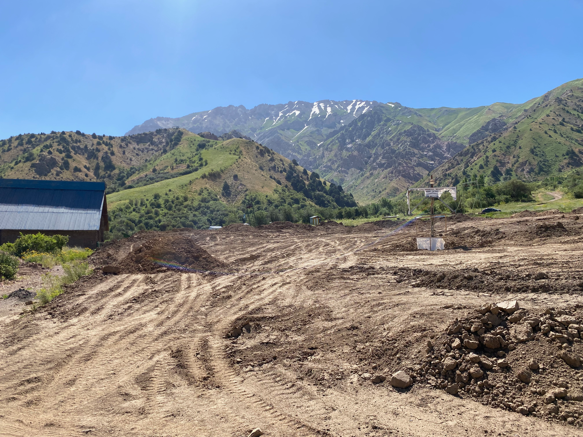
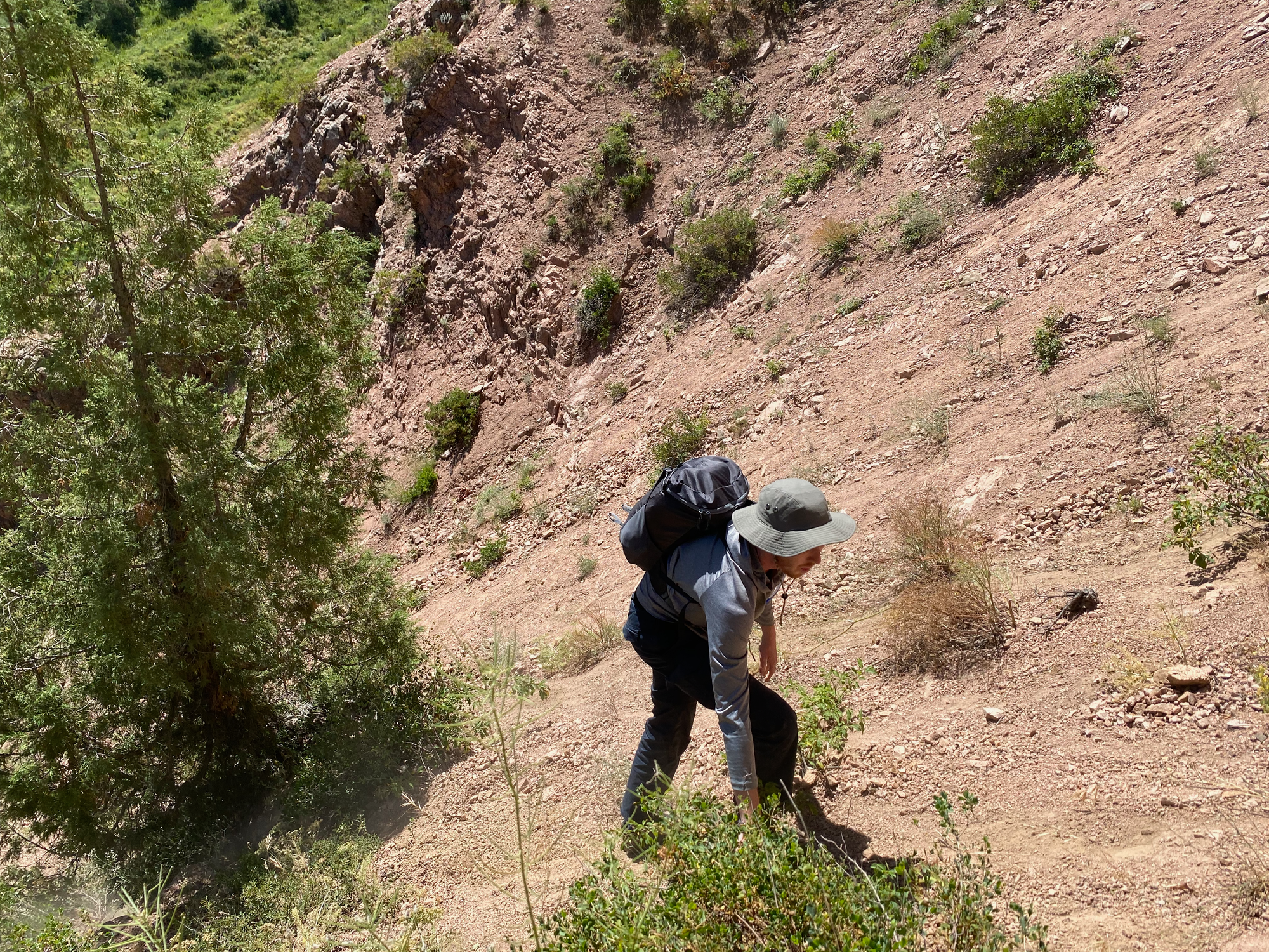
We followed one of the paths on Gaia/OSM, which led us along a dirt road then up a sketchy gully to a ridge. This gully could be avoided by following a different path.
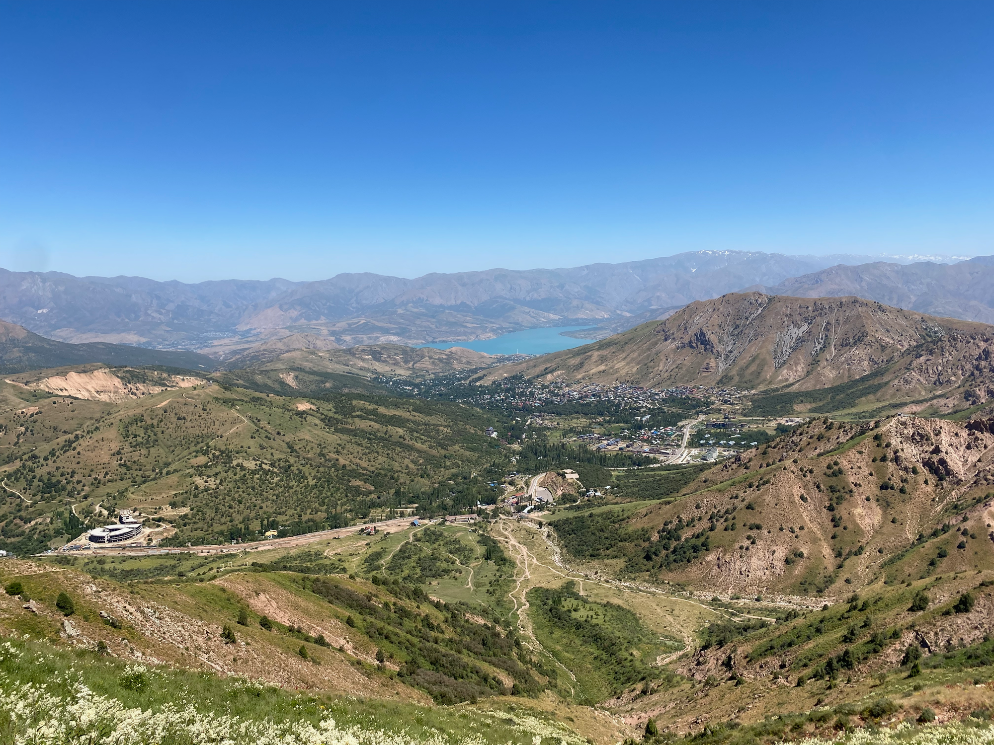
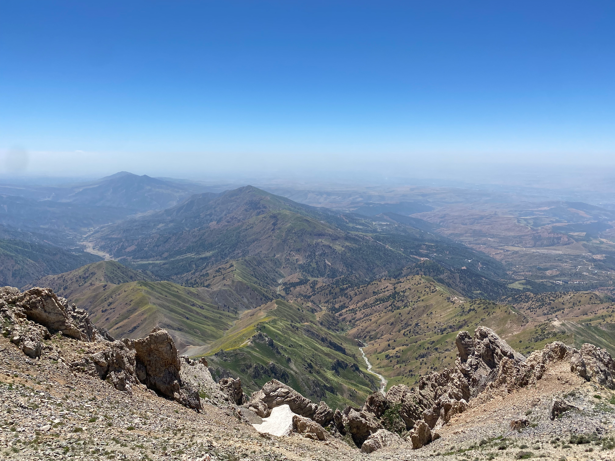
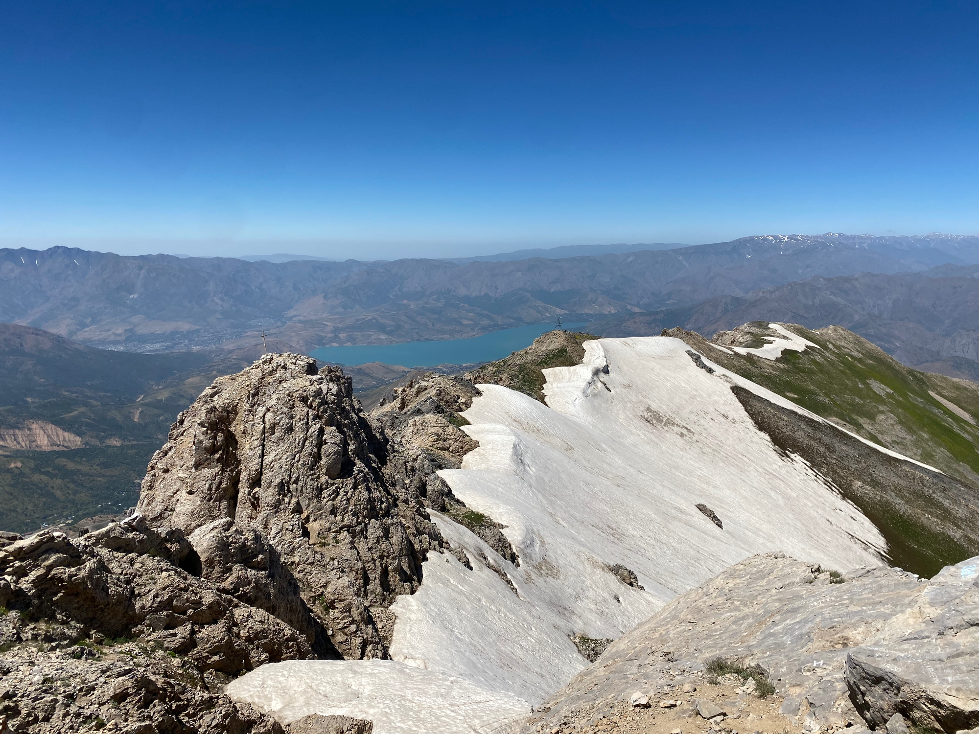
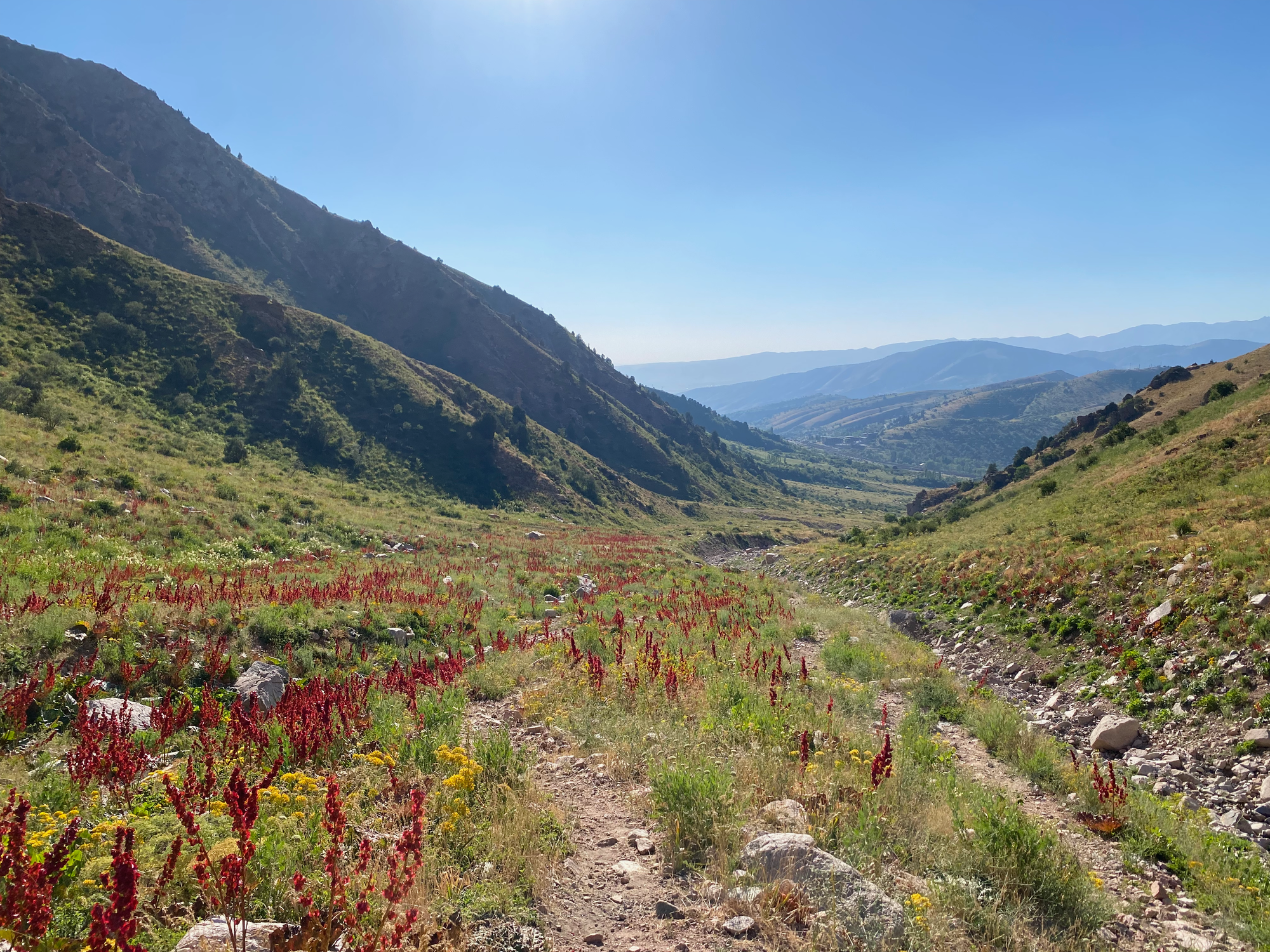
Eventually we joined the main trail to the peak. It’s mostly well-defined, but at one point we lost the trail and did some more scrambling. The trail essentially follows the western ridge, offering good views of the surrounding mountains and lake. Wildflowers were in full bloom.
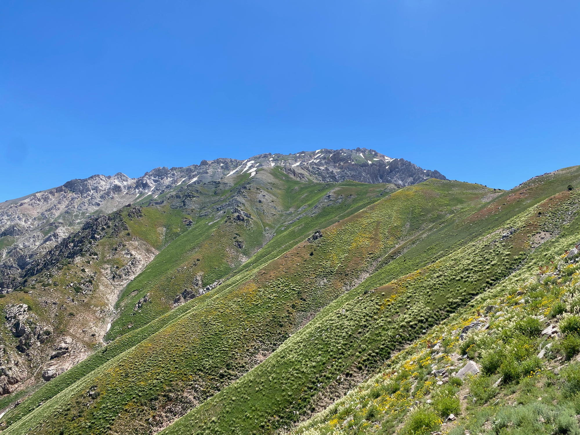
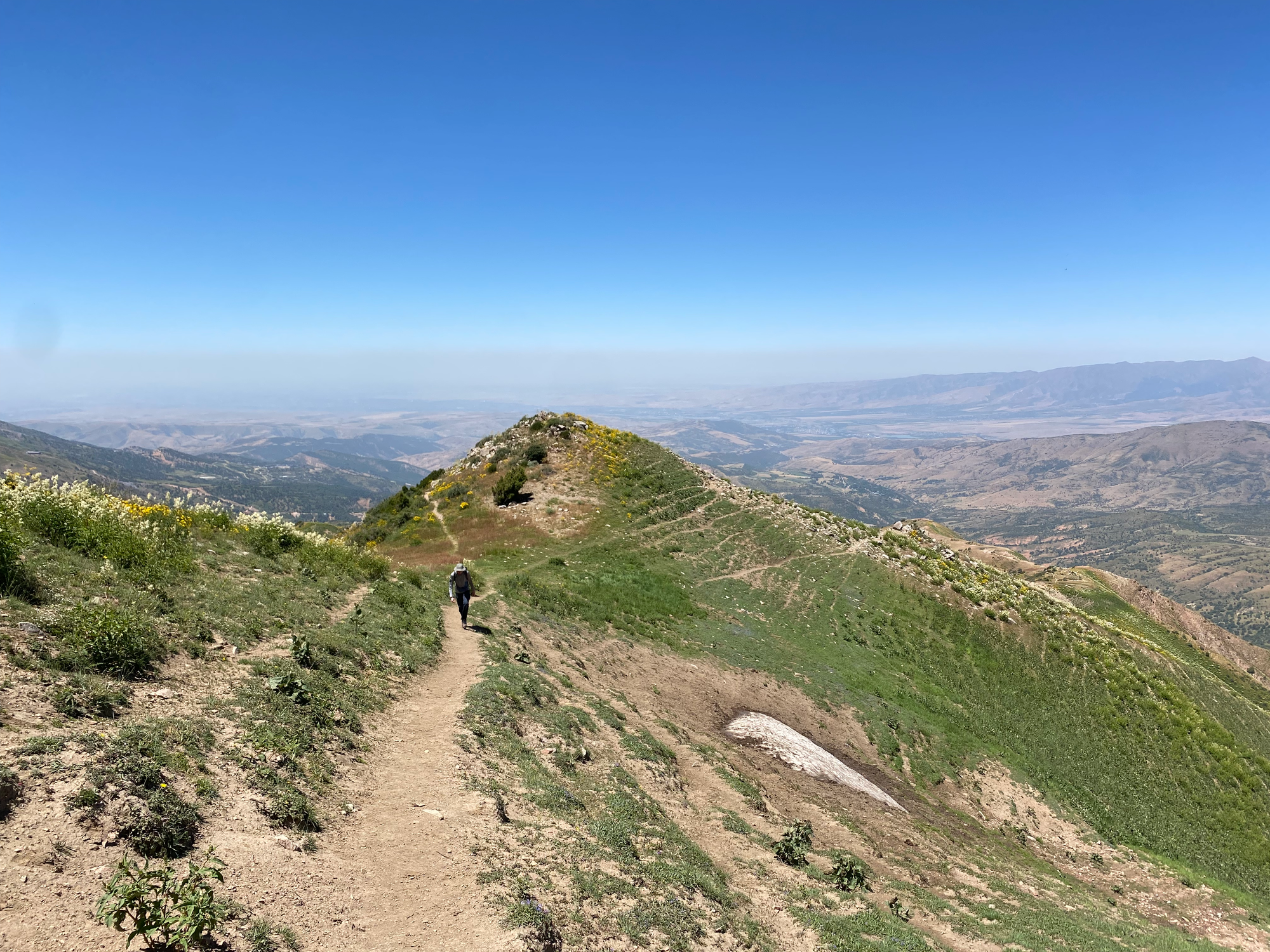
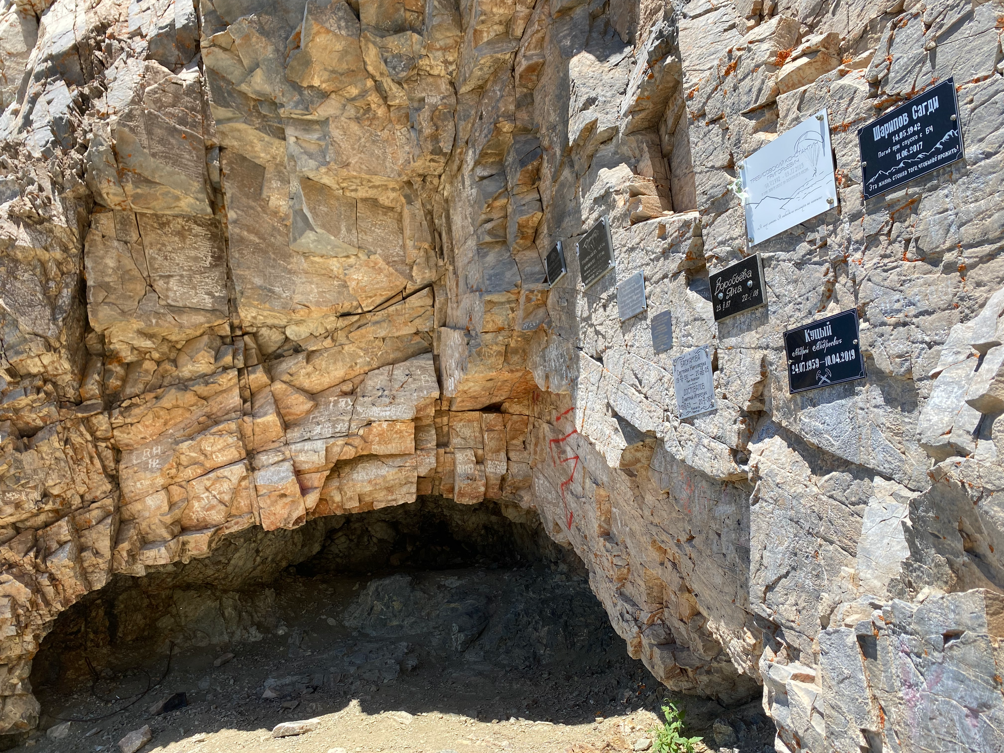
At around 2920 m the trail reaches a cave with memorials to those who died on the mountain, not an uncommon sight on post-Soviet peaks.
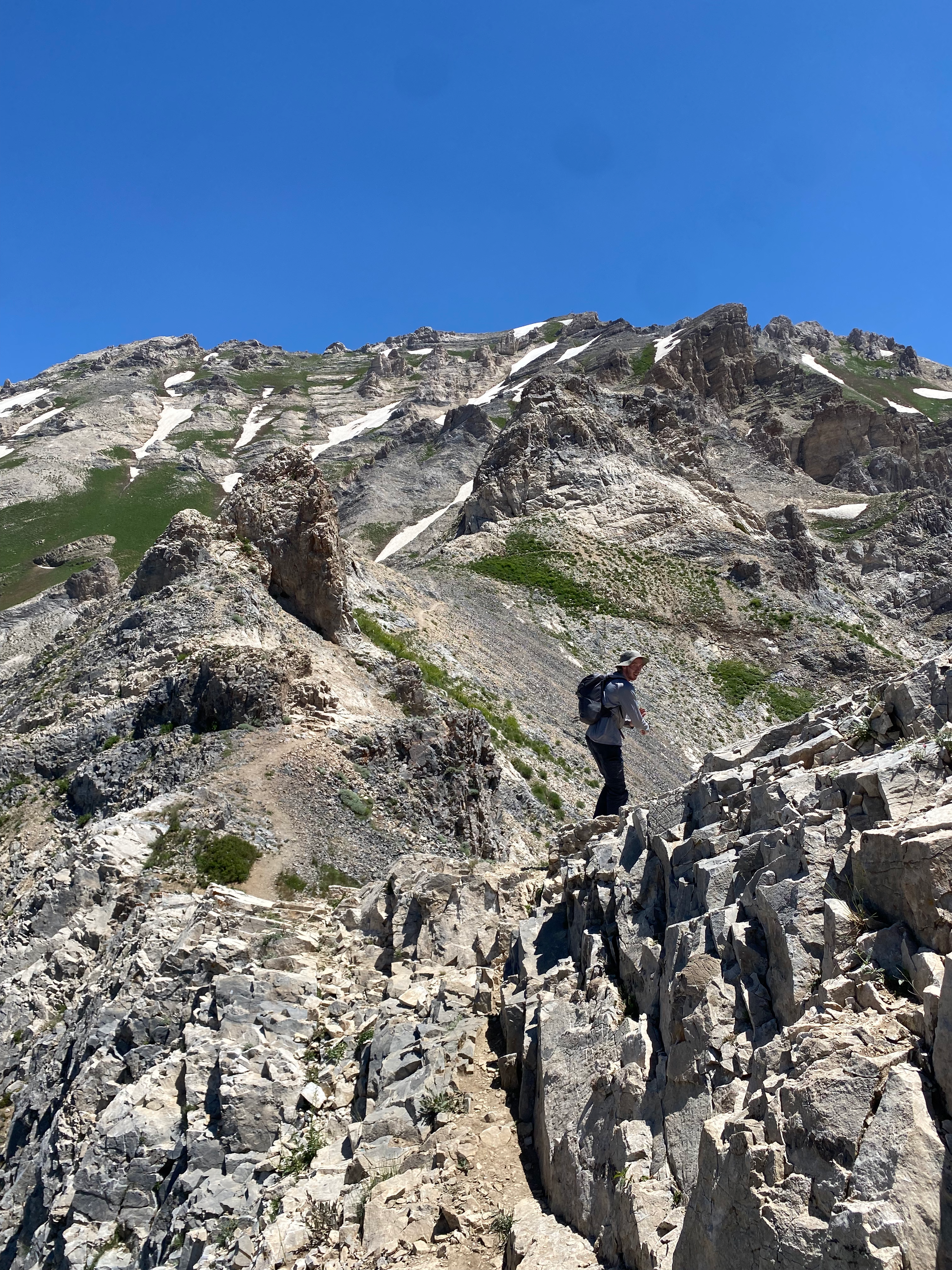
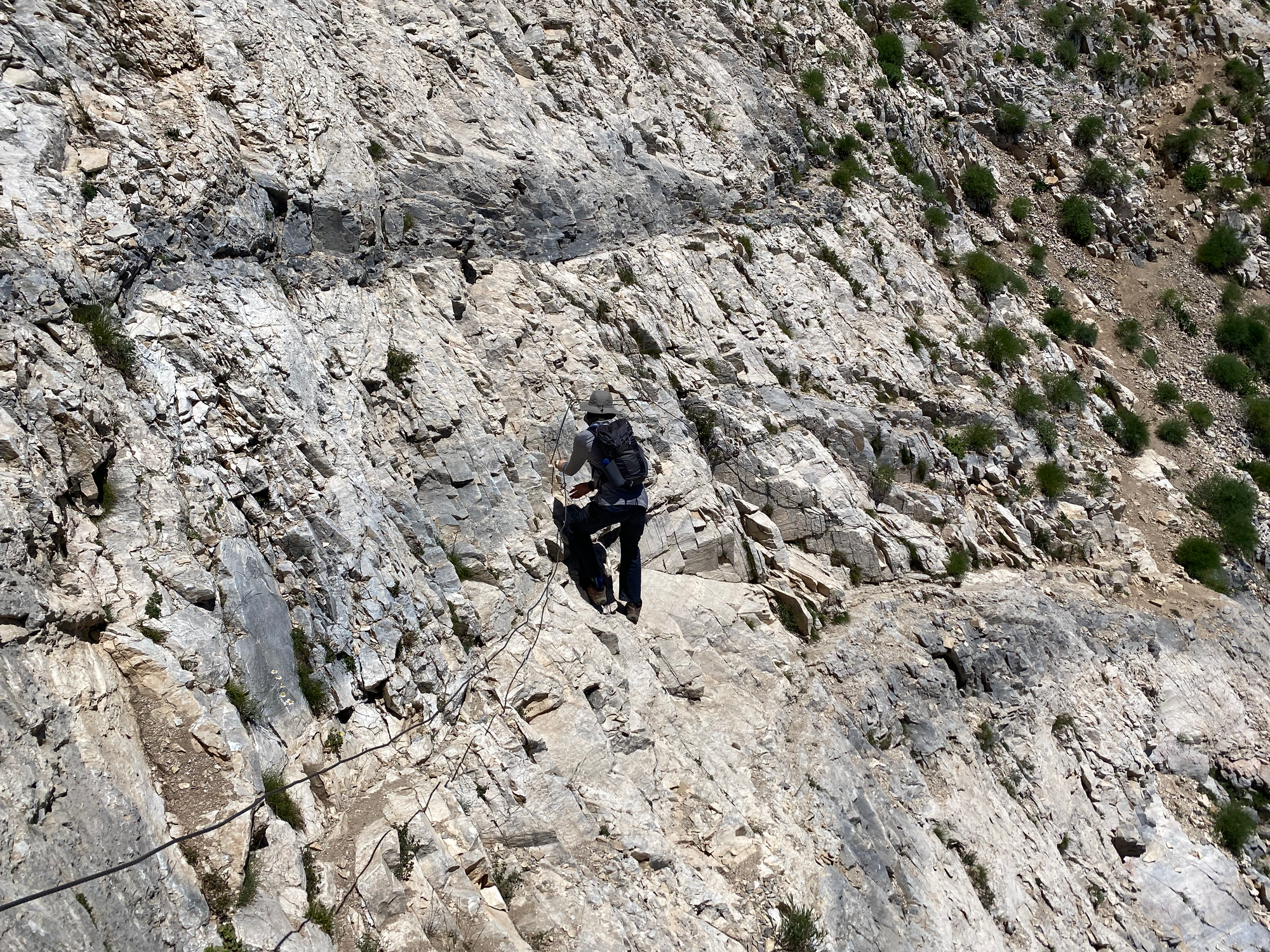
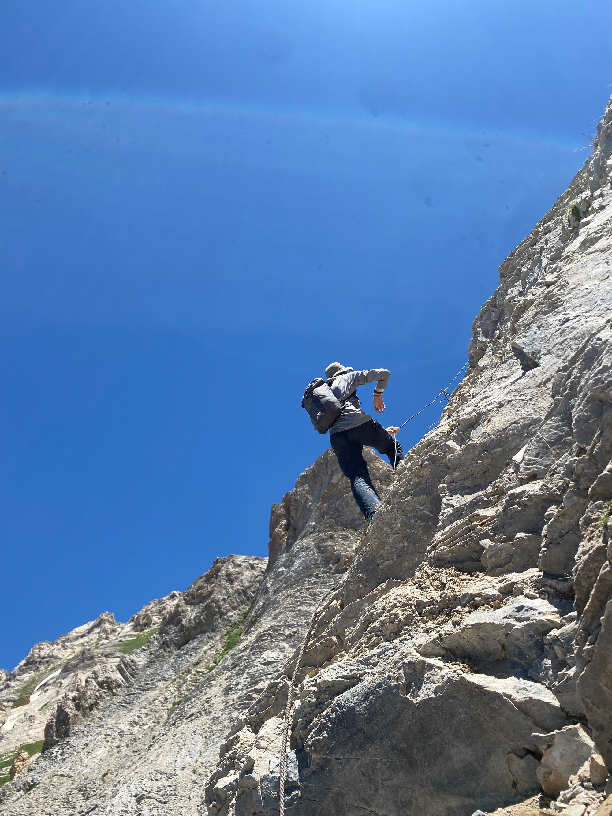
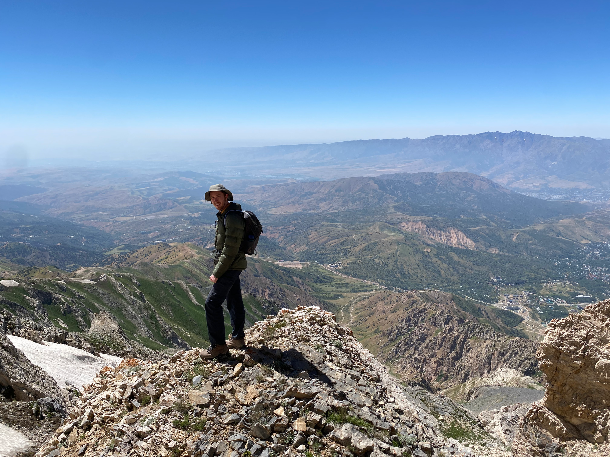
Past the cave, the terrain gets much steeper, and some scrambling is needed. Two fixed cables have been installed. There are a few exposed areas and some small snow patches. By tilting the camera, we took lots of scary pictures to send to friends and relatives back home.
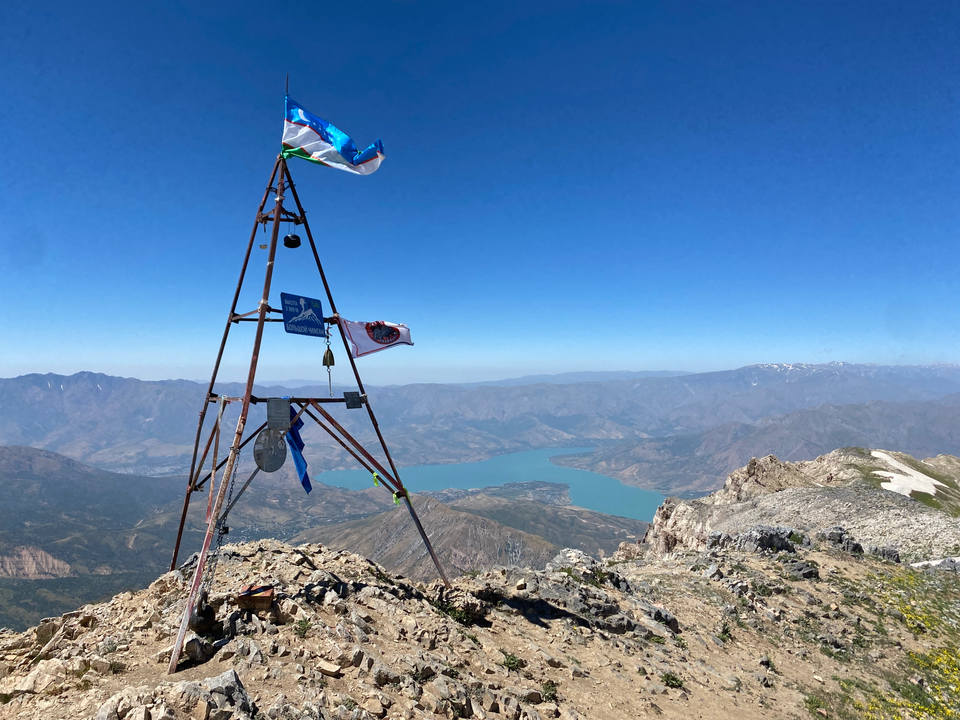
We soon reached a false summit, marked by a metal structure crowned by an Uzbek flag. Here we were treated to 360 degree views reaching into Kazakhstan, Kyrgyzstan, and distant Tajikistan, thanks to the convoluted local borders. There is a summit register but no pen.
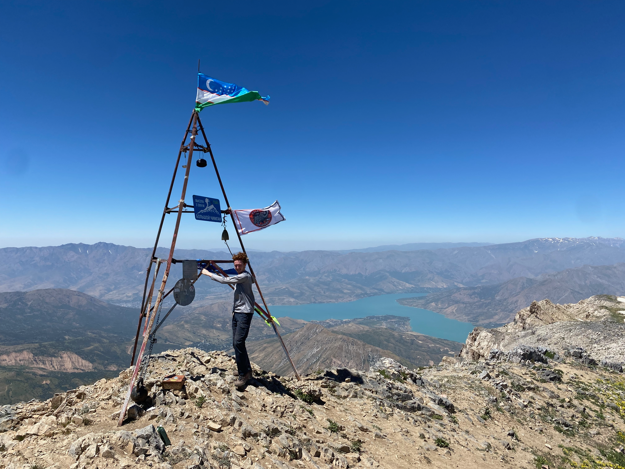
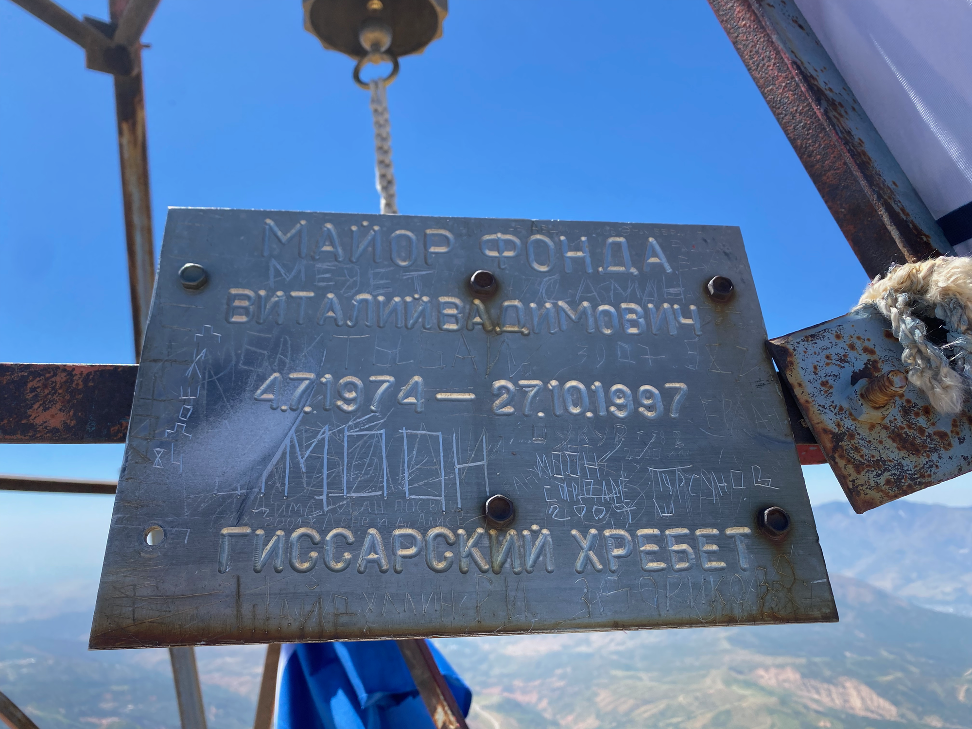
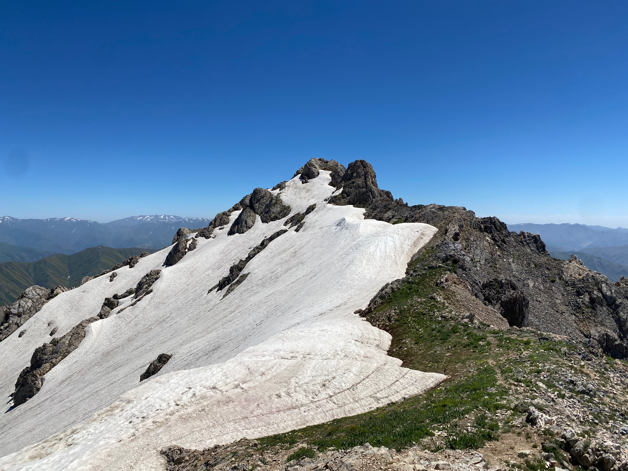
The highest point is about 200 metres to the south. Earlier trip reports mentioned crossing a snow field with an ice axe, but by this point the summit was accessible with a few sections of fun class 3 scrambling. I basically traversed just above the snow field, stepping on the snow at times. It was worth the detour.
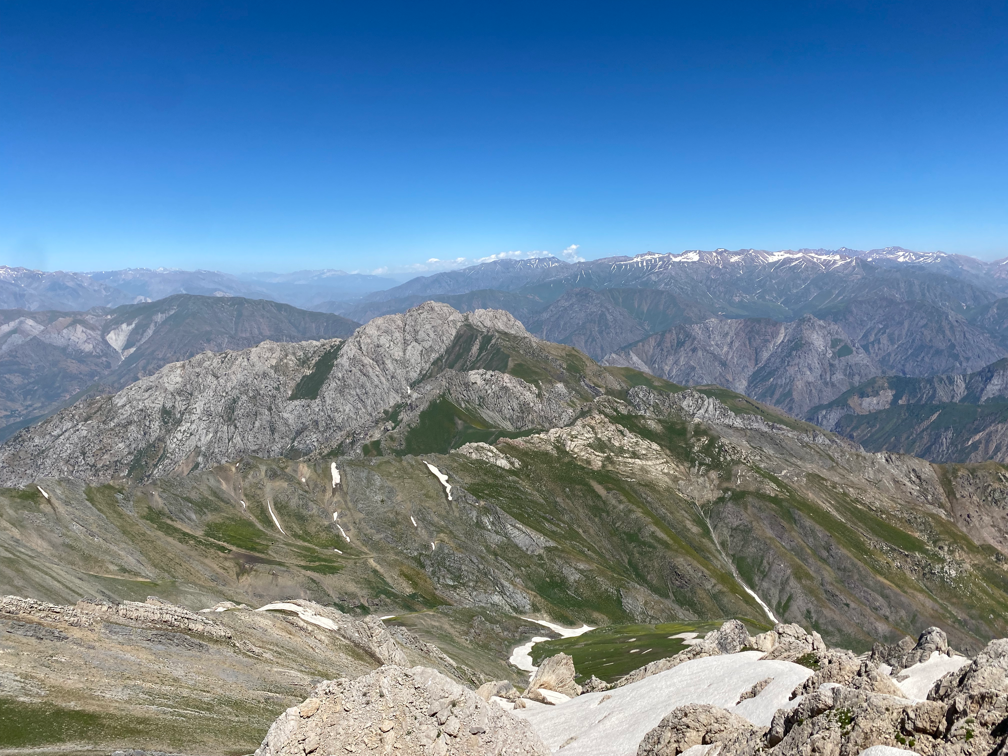
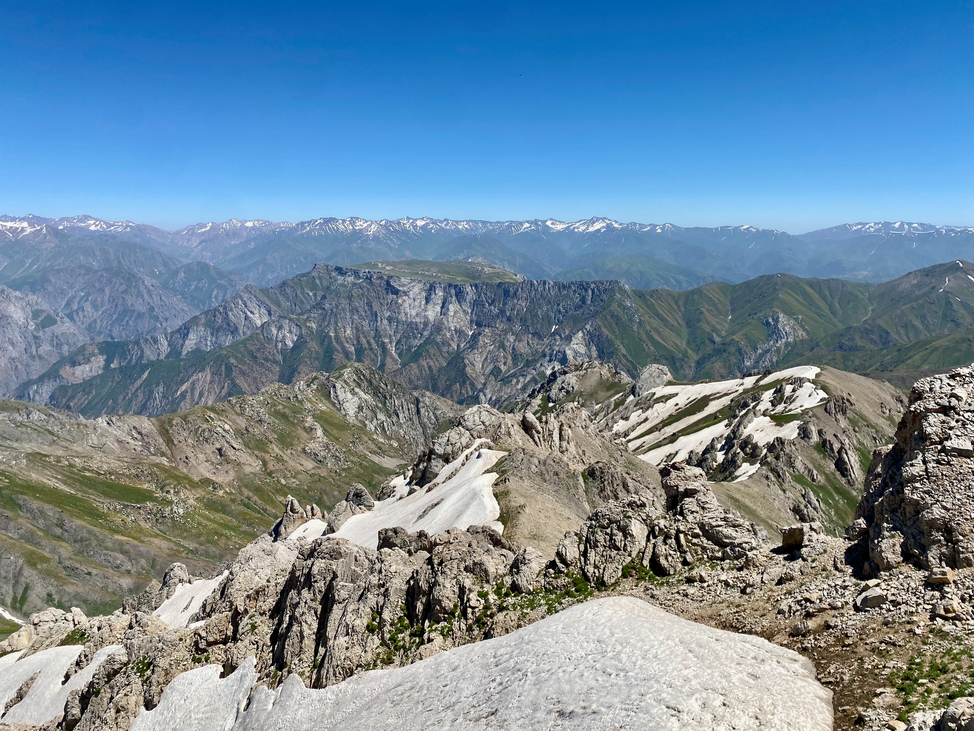
On the way down, Finn wanted to try a different route shown on our maps. This route continued north along the ridge, then followed a valley to the west. This was promising at first but soon the path disappeared and we found ourselves scrambling down a steep valley.
The route goes but it gets sketchy and slippery at times, and would be impossible in snowier conditions without mountaineering gear. Eventually we reached a faint path which led us to the valley floor. After one more detour (the path vanished in places), we reached the river. The water was refreshingly cold!

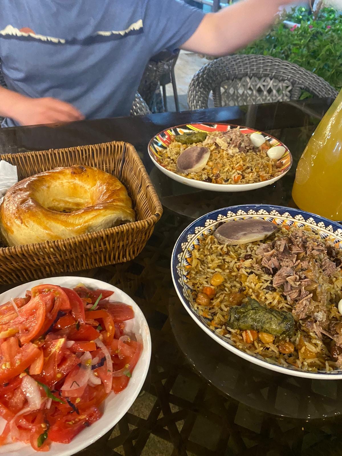
From there, a dirt road took us to the base of a ski resort, and we found a Yandex surprisingly quickly. We recovered with a massive dinner of plov (rice and meat - usually beef, but sometimes horse) at the Central Asian Plov Centre in Tashkent. What a day.


Member discussion