Tenquille Lake North Traverse (Goat Peak, Tenquille Mountain, Finch Ridge)
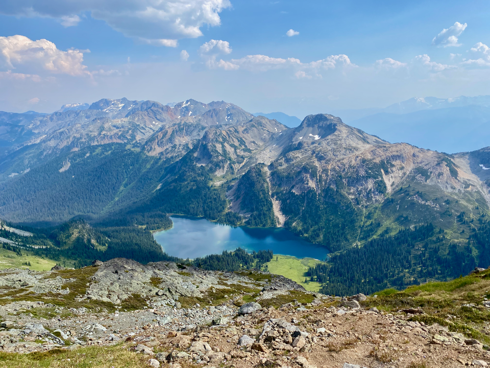
Date: August 8, 2024
Distance: 21.42km
Elevation gain: 1590m
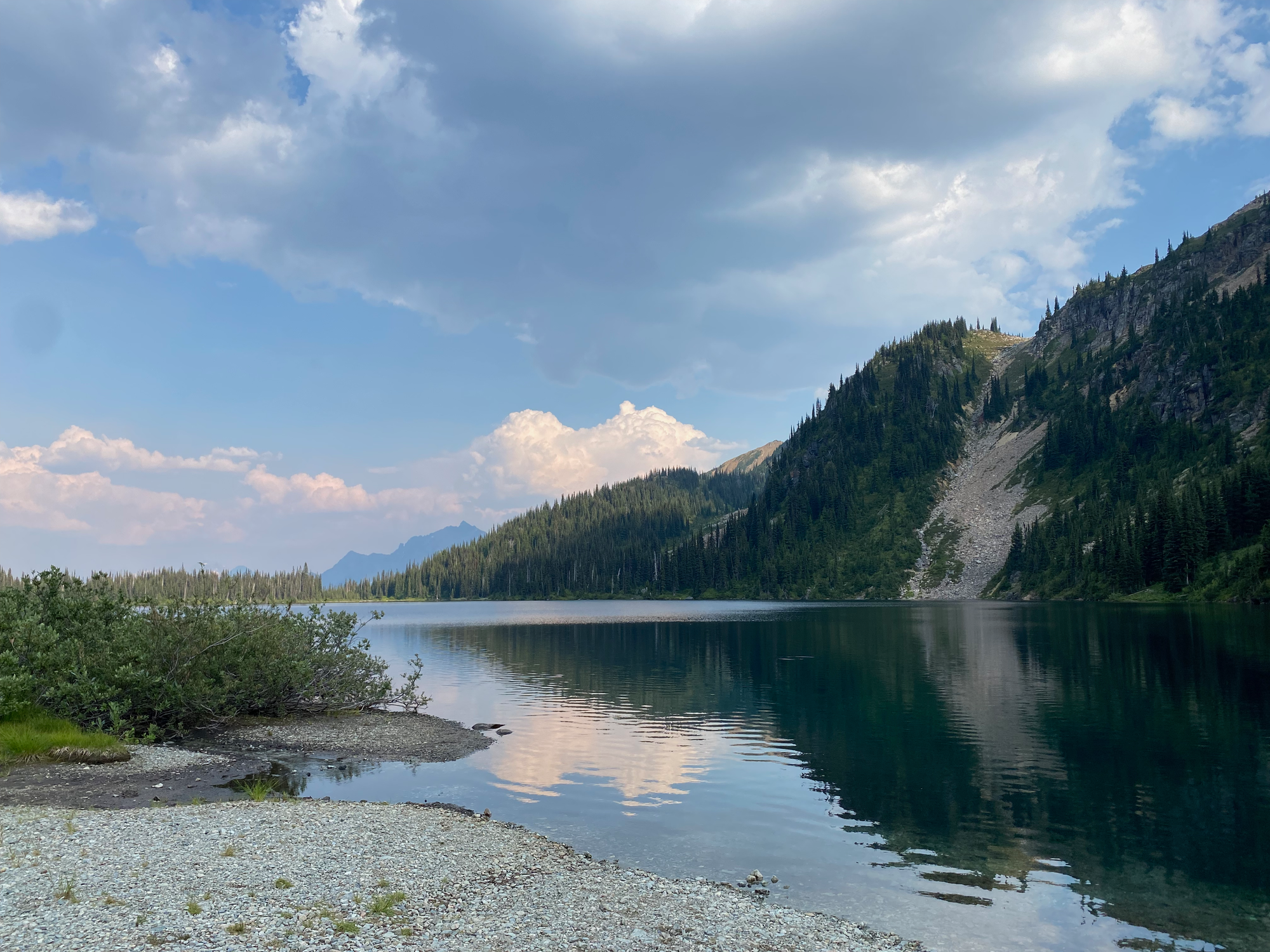
Tenquille Lake (Hawint) is an alpine lake located northwest of Pemberton. It’s surrounded by towering peaks, most of which are easy scrambles from the lake. The Pemberton Wildlife Assciation manages a cabin at the lake, which would be a good base for an overnight trip.
I hiked to the three peaks north of the lake: Goat Peak, Tenquille Mountain, and Finch Ridge, which made a nice loop.
There are two ways to reach Tenquille Lake. The more popular access trail is from the Lillooet River FSR. This route is 2WD accessible, but it’s a 20km round trip to the lake with over 1500m elevation gain (see Alltrails for stats). The other route starts at the end of Branch 12, which is accessed from the Hurley River FSR, and saves quite a bit of elevation. I took this route. The Hurley was in great shape, but Branch 12 had some large water bars and would need at least medium clearance. The last 2km in particular was quite steep and there’s a parking area immediately before the steep part. I made it to the trailhead with no issues. It was a weekday so I was surprised to see a large group arrive in several cars. They were from BC Parks and the Lil’Wat nation.
There were lots of fresh bear signs in a blueberry-covered section about 3-4km from the trailhead. I would’ve turned around if the large group wasn’t right behind me. At the same time I was thankful to have bear spray.
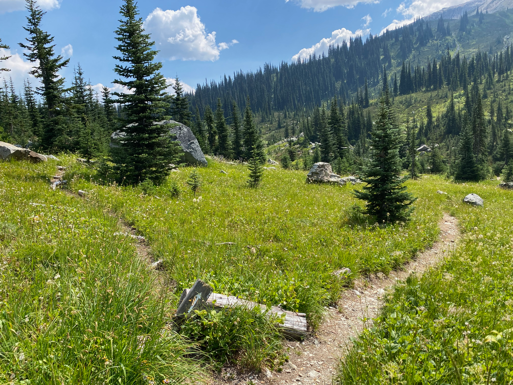
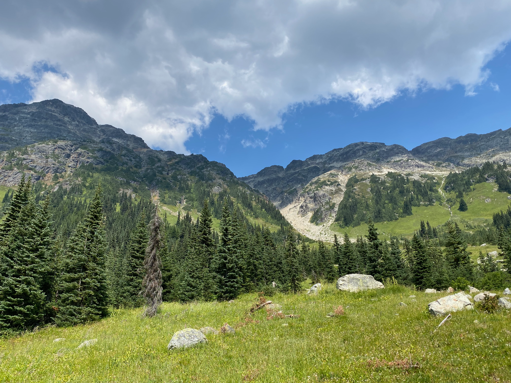
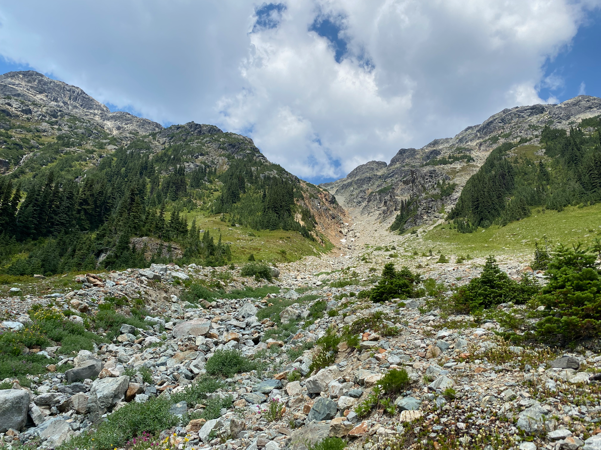
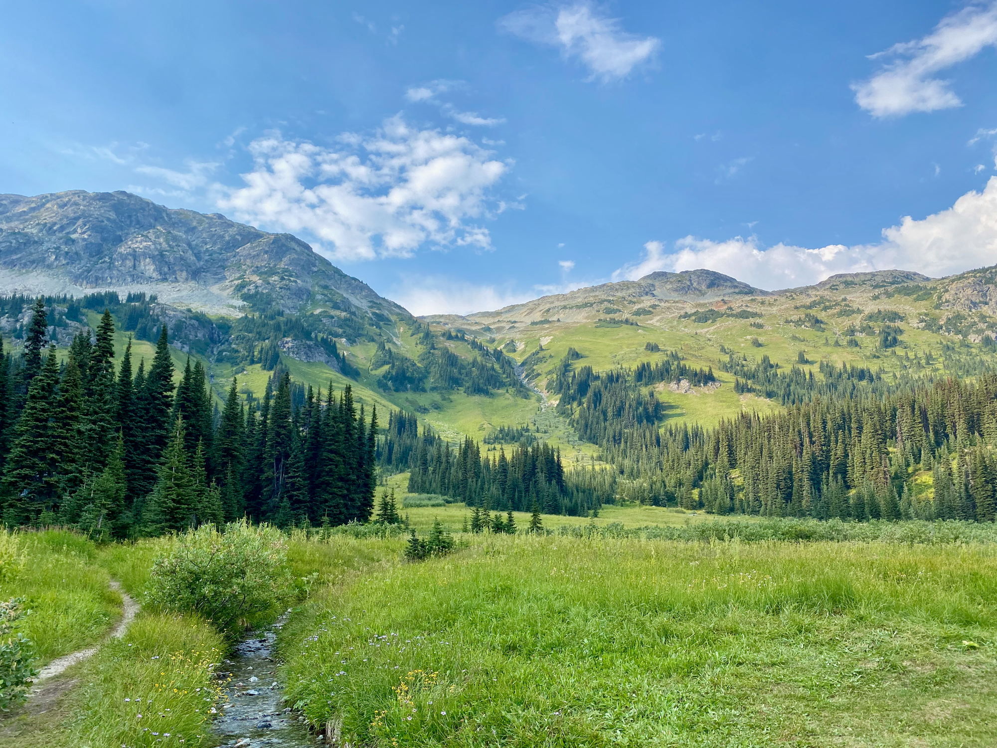
The forest opened up into pleasant alpine meadows as the trail approached the lake. About 1km before the lake, I left the main route on a very faint trail and headed up the gully between Goat and Tenquille. This was a mix of class 2 and 3 scrambling (mostly class 2) with lots of loose scree. There was a small stream in the gully. I left the gully at around 2360m and took a more direct route to Goat’s summit.
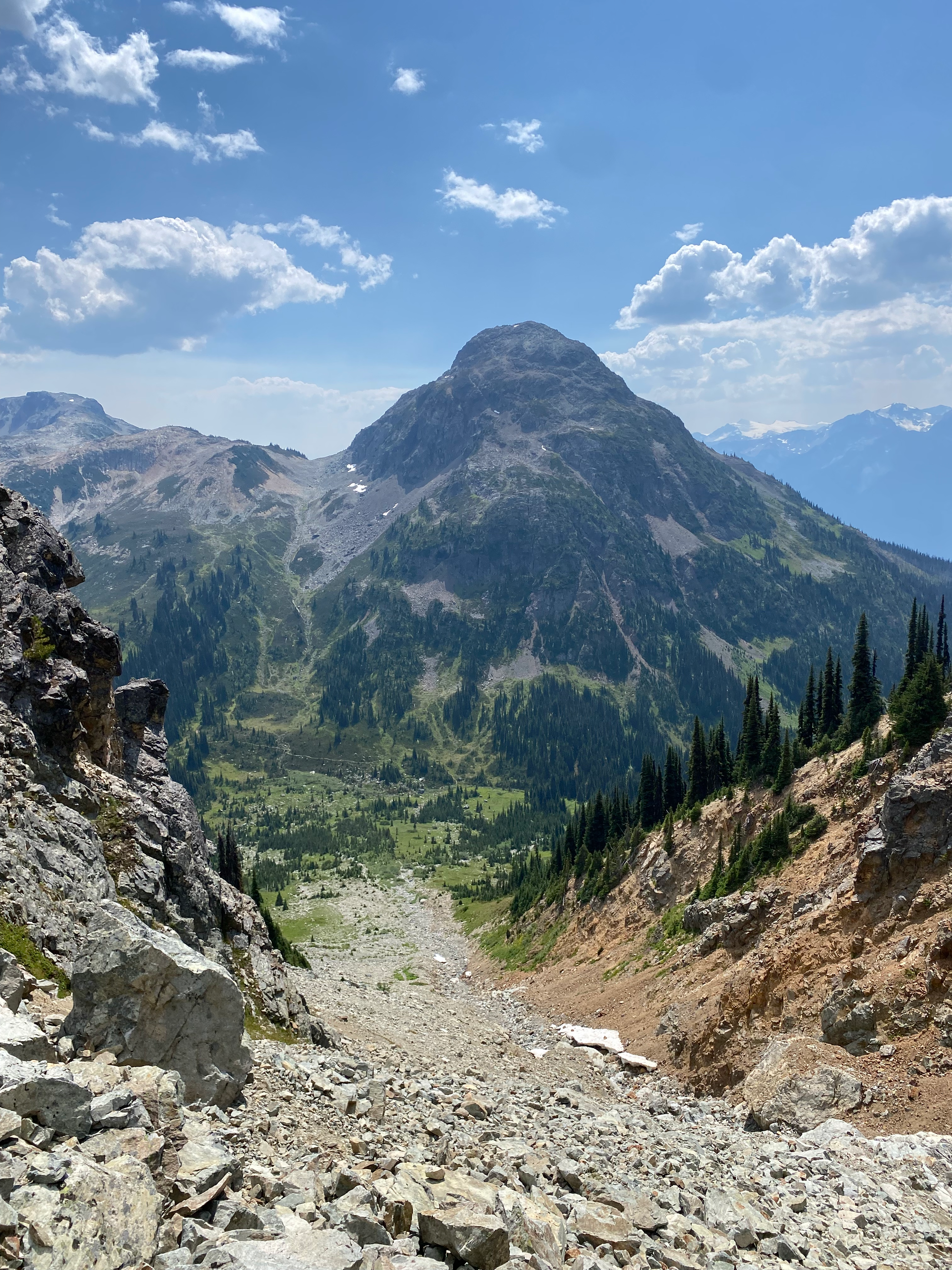
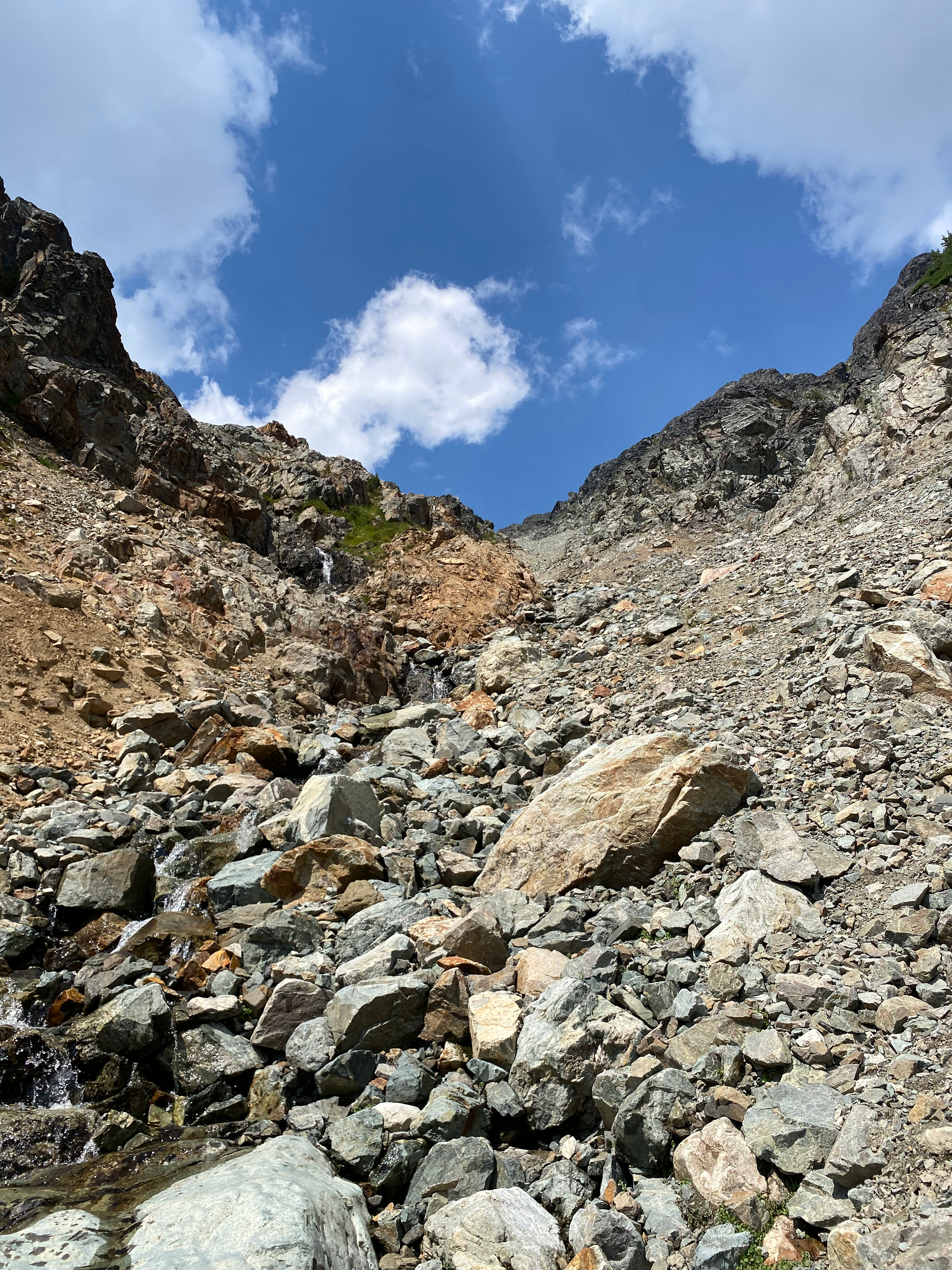
As I exited the gully, I heard some rocks fall in the distance. A few hundred metres away, a mountain goat was scrambling up a cliff on Tenquille! I’ve climbed several “Goat Mountains” but this was actually the first one with an actual mountain goat. Apparently, a couple days earlier, the ranger at the cabin saw 23 (!) goats on Tenquille.
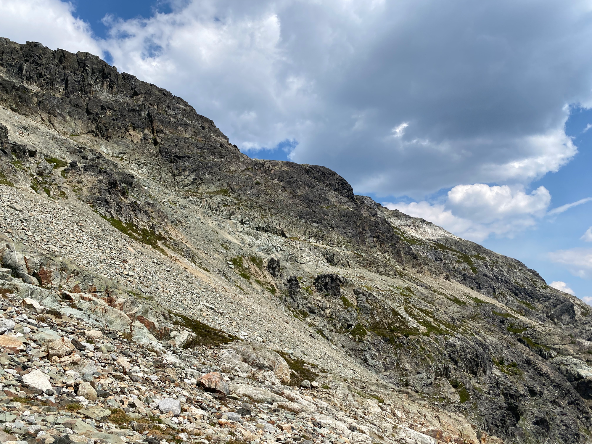
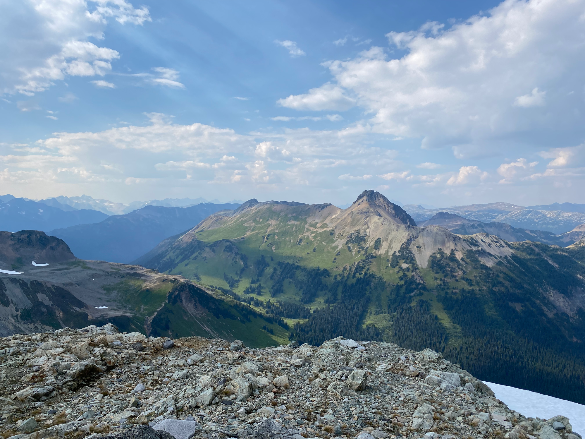
The scramble to Goat's summit had some class 3 sections marked with cairns. There are two summits which seem to be about the same height, so I visited both. They had excellent views of Pemberton Valley and the Hurley area. To my surprise, I met another group on the summit.
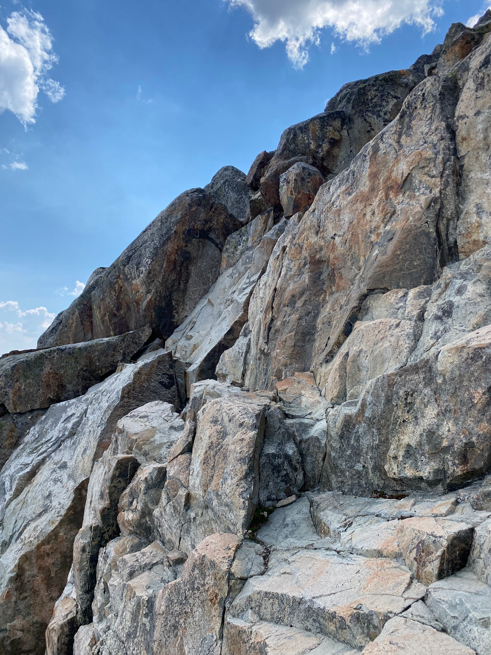
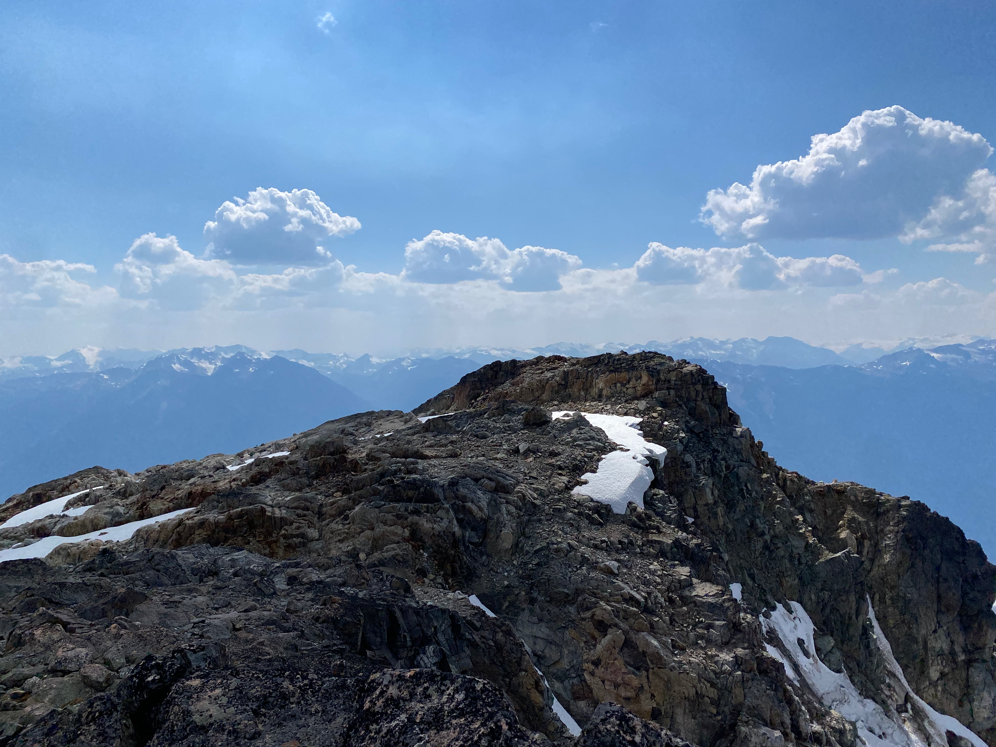
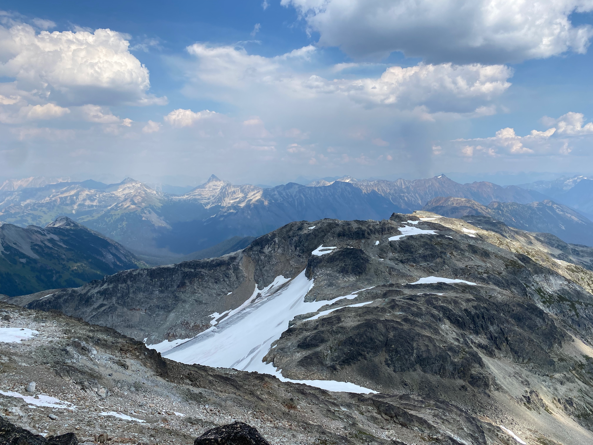
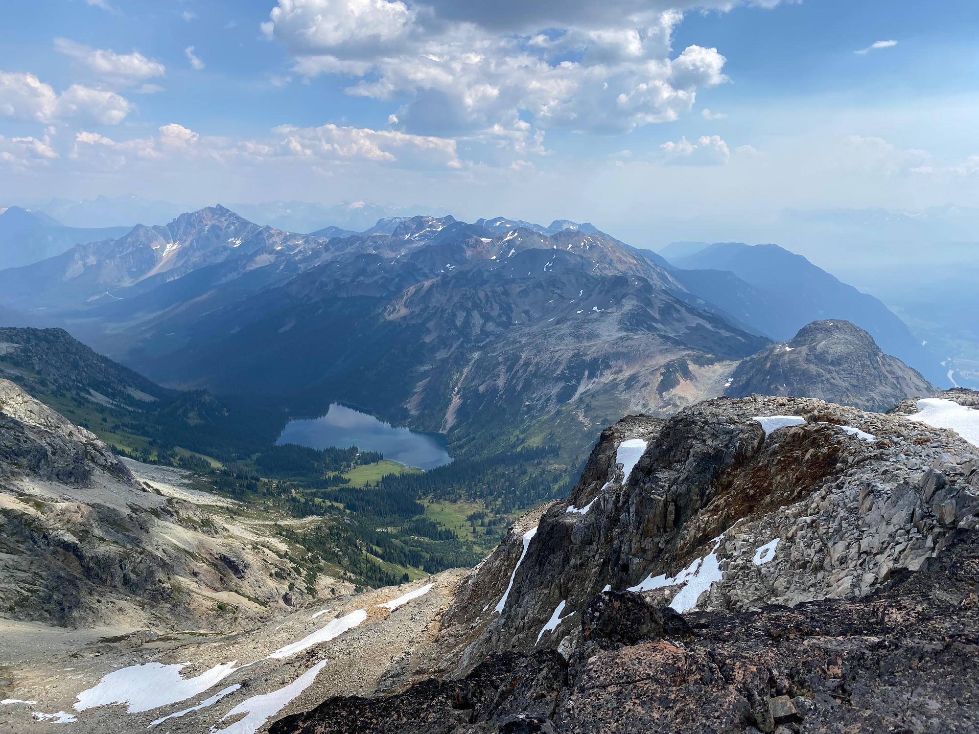
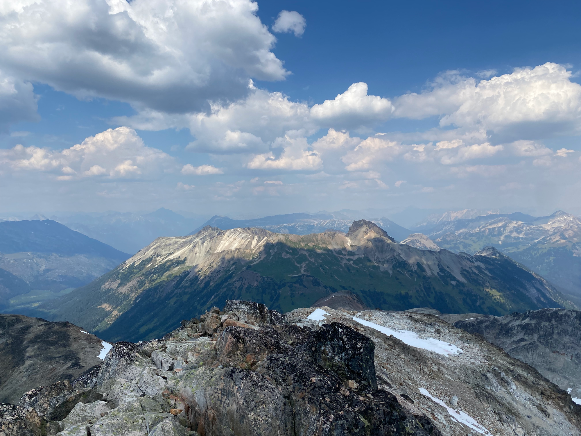
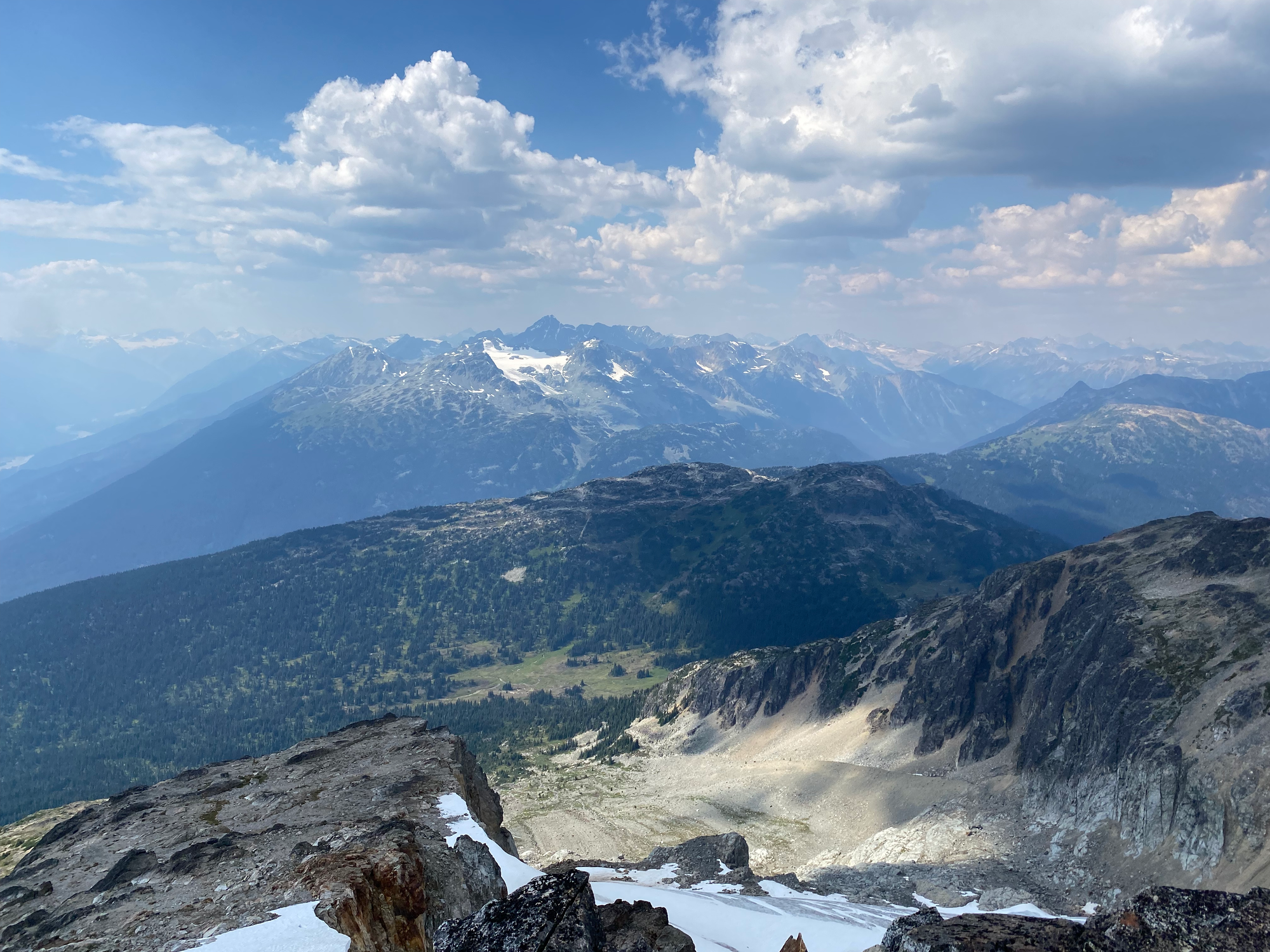
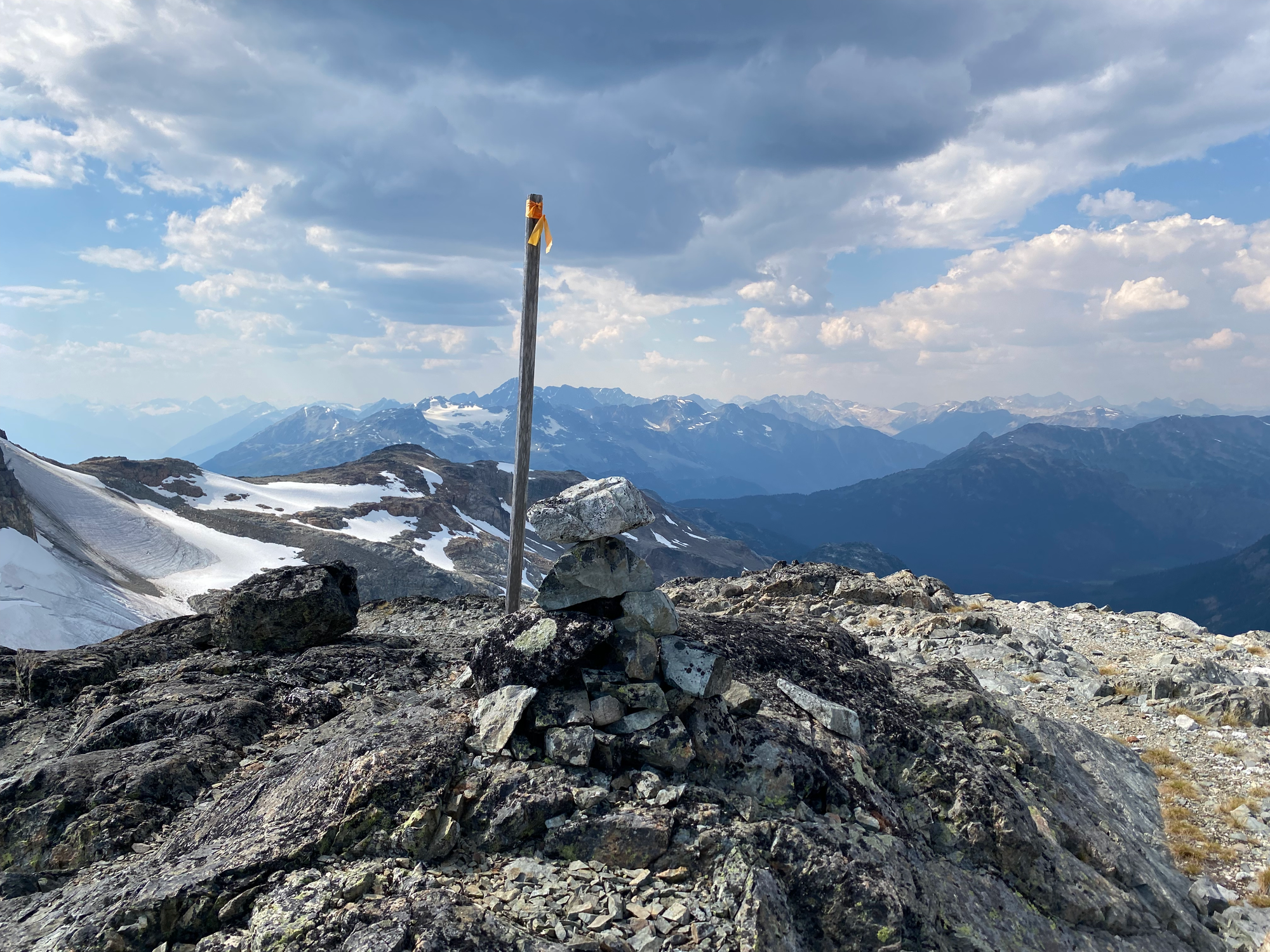
To get from Goat to Tenquille, I hiked down to the col and scrambled up a series of easy ramps. The true summit is marked with a wooden pole. The views are just as good as Goat. The ridge continues east for a while, and there are several false summits, one of which also has a wooden pole for some reason. The first (westernmost) wooden pole is definitely the true summit.
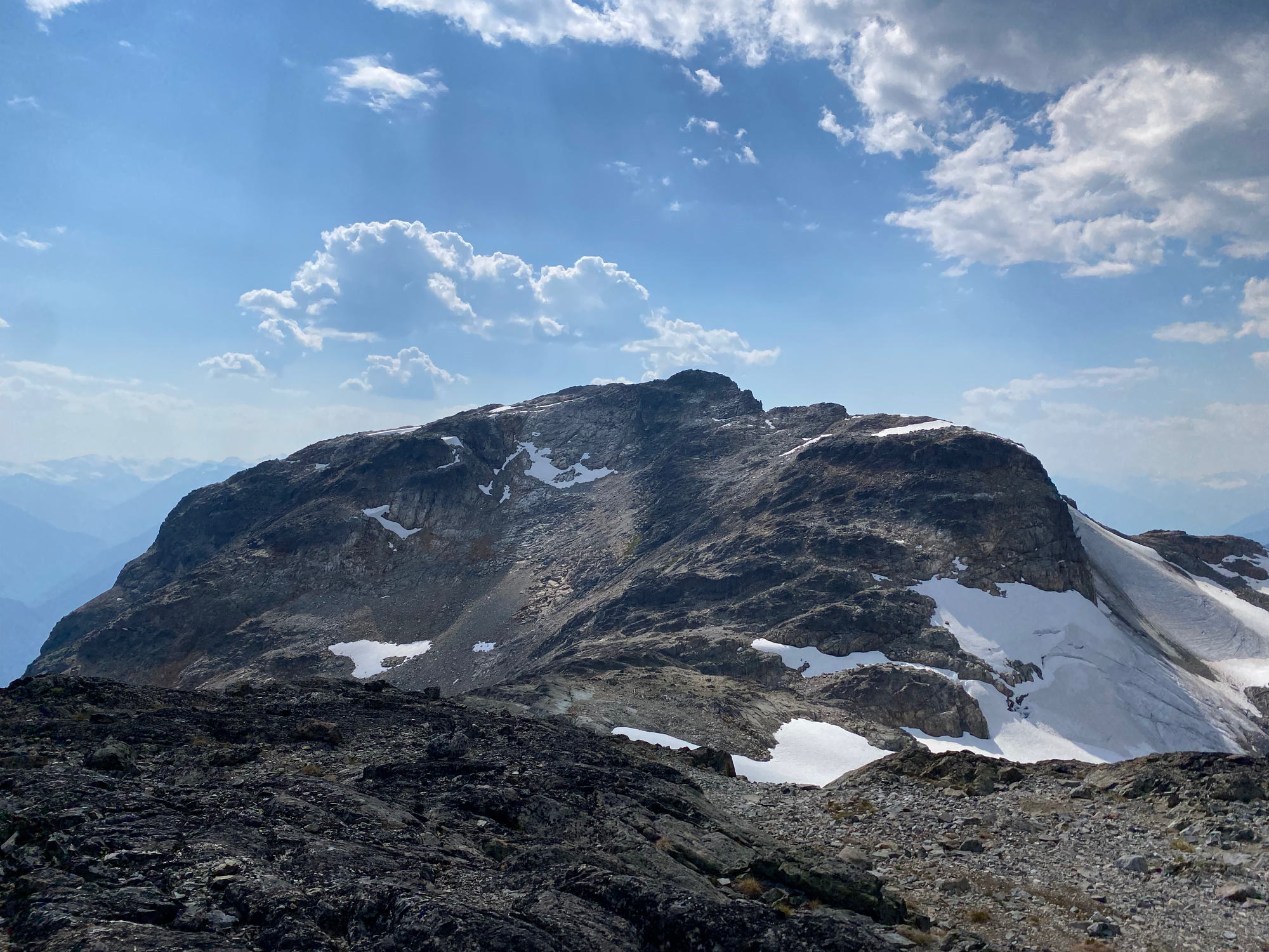
The crux of the day was the descent from Tenquille. The Tenquille-Finch col isn't easily accessible so I had to lose quite a bit of elevation to rejoin the gully. There are some cairns marking the way but some were difficult to spot.
Finch Ridge is really just a sub-peak of Tenquille, but I’d lost a lot of elevation and had to climb a decent amount to reach it. This was a straightforward walk up, which probably had the best views of the actual Tenquille Lake (it’s somewhat blocked from the summits of Goat and Tenquille).
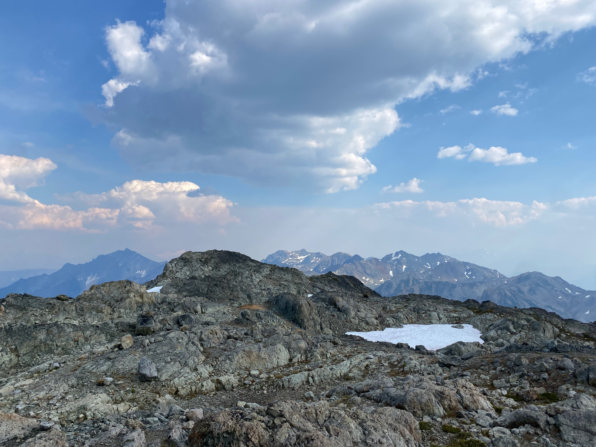
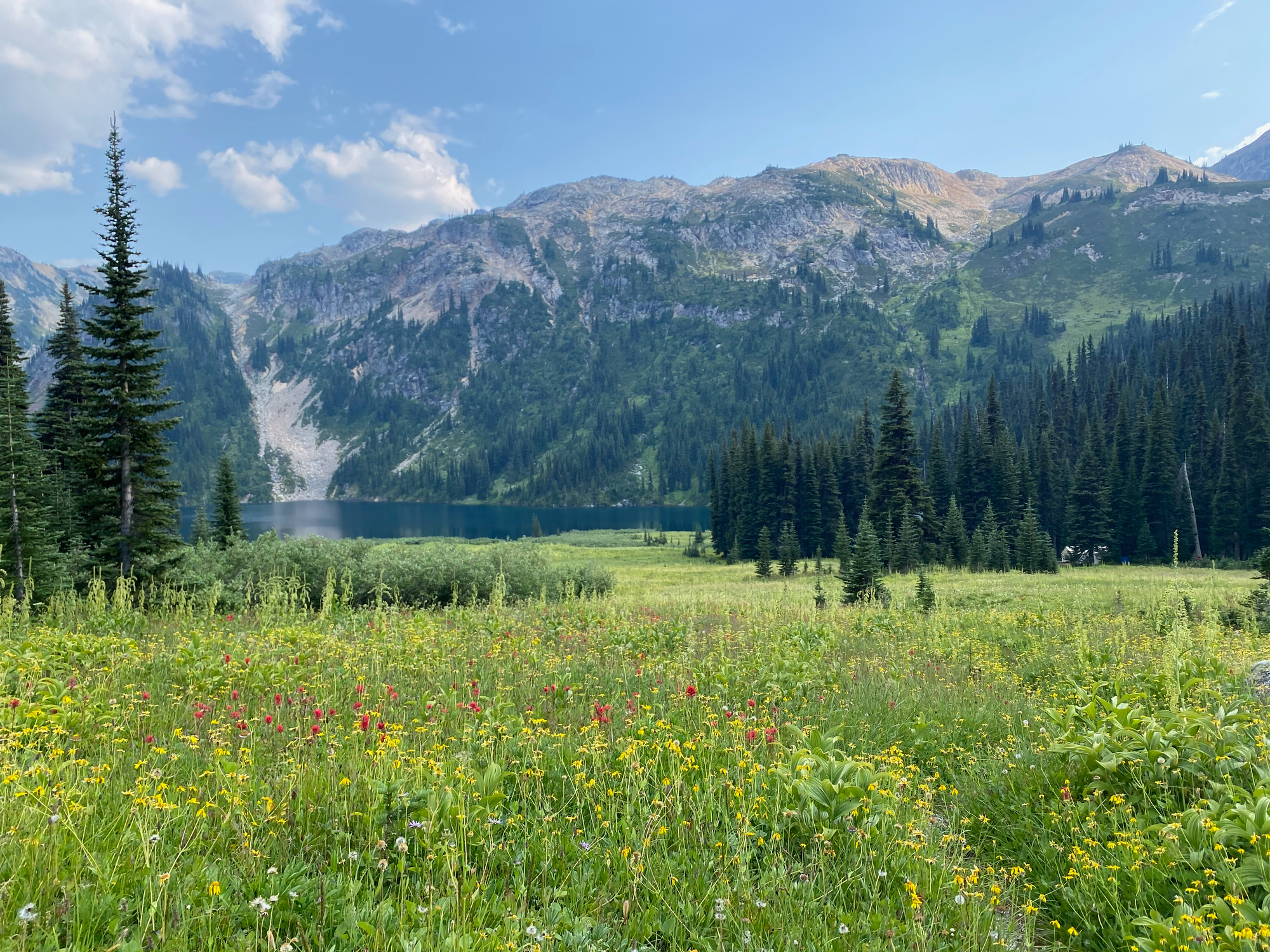
I returned to the lake through a faint trail to the west of the creek, which led through meadows with brightly coloured wildflowers. Once at the cabin I had a nice chat with a ranger, then had a quick swim in the lake. The lake would be pretty much perfect if it didn’t have so many leeches.
Luckily, there was no sign of the bear on the way back. I was still quite jetlagged from the Asia trip and had a hard time staying awake on the trail. At a few moments I had to resort to off-key singing to prevent myself from falling asleep. The waterbars on the way back definitely woke me up for a while. I bought a caffeinated soft drink at a gas station in Pemberton but it was only effective for a short time. I eventually pulled over onto some FSR north of Whistler and took a long nap, which let me return home safely.


Member discussion