Giant Mountain and Rocky Peak Ridge
January 30, 2024
Distance: 12.1 km
Elevation gain: 1331 m
GPS: Alltrails Link (Not my track)
Giant Mountain and Rocky Peak Ridge are two of the 46 High Peaks in the Adirondack Mountains of New York. A couple years ago I tried to summit Giant with a few friends. Several misadventures followed, involving missed alarms, border security, steep slopes, detours, and getting caught in the forest after dark, and we didn’t make it to the top. So Giant was at the top of my list of hikes to do before I graduated. While there I’d also try to get to Rocky Peak Ridge, which branches off Giant and is accessed from the same trail (the Ridge Trail, which ascends a ridge that should not be confused with the ridge containing the peak of Rocky Peak Ridge. So many peaks and ridges)
I left Montreal before sunrise and drove down to the Ridge Trail trailhead, about 2.5 hours away. The weather was nice enough in Montreal but clouds appeared as soon as I crossed the border. Once I was in the Adirondacks, the fog was very dense, giving the mountains a very spooky feeling. Luckily it was light out by then.
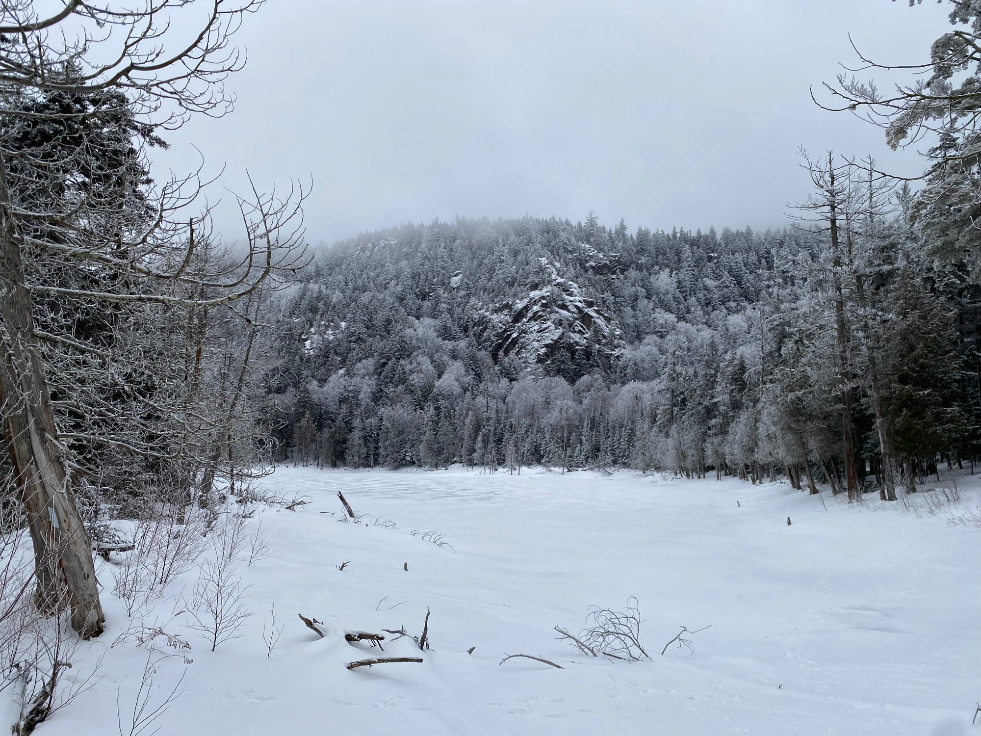
At the trailhead I strapped on my snowshoes. The Ridge Trail switchbacks up a steep slope before joining up with the Washbowl Trail at the Giant’s Washbowl, a small lake. I found that this trail was much easier in the winter: it was well-traveled and all the rocks were covered. It helped that I wasn’t hiking in the dark this time. Another couple hundred metres of hiking took me to the junction with the trail to the Nubble.
On the way I met a few hikers from Montreal and upstate New York. I’ve done a lot of hiking in BC, Quebec and the States but Adirondack hikers are definitely some of the nicest I’ve met.
From here, the trail brings you up a steep ridge for about a kilometre and a half. The forest is dense, even in winter, and the fog made things a bit darker. At around 1150m the trail pops out of the forest at a viewpoint that was nice on my first trip, but was now completely encased in fog. This part had some ice but spikes were sufficient. I’m sure that changes a lot in different conditions.
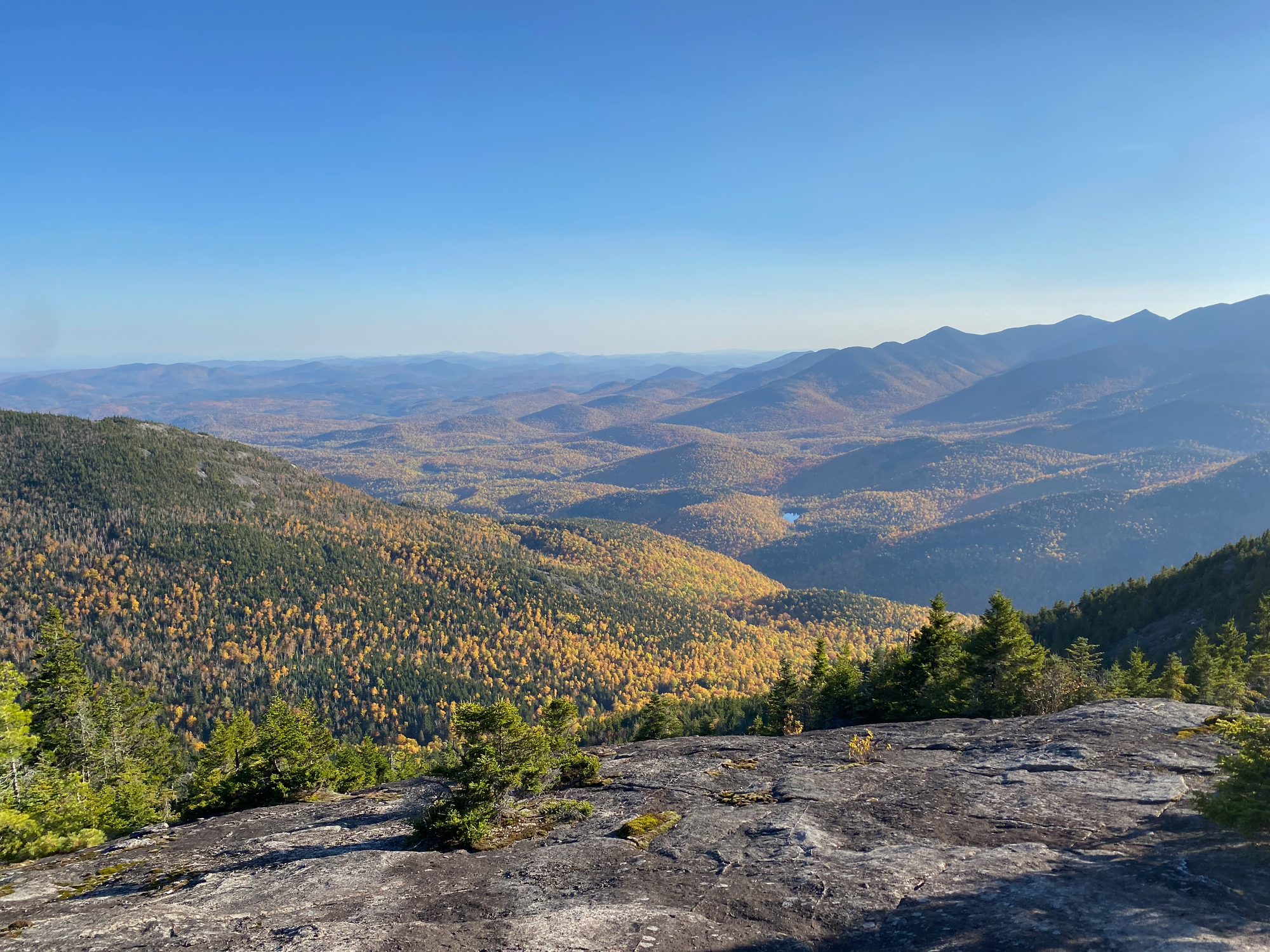
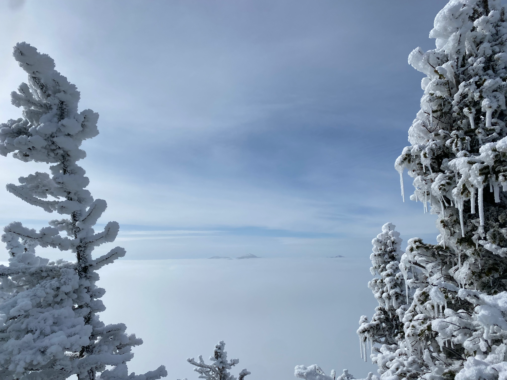
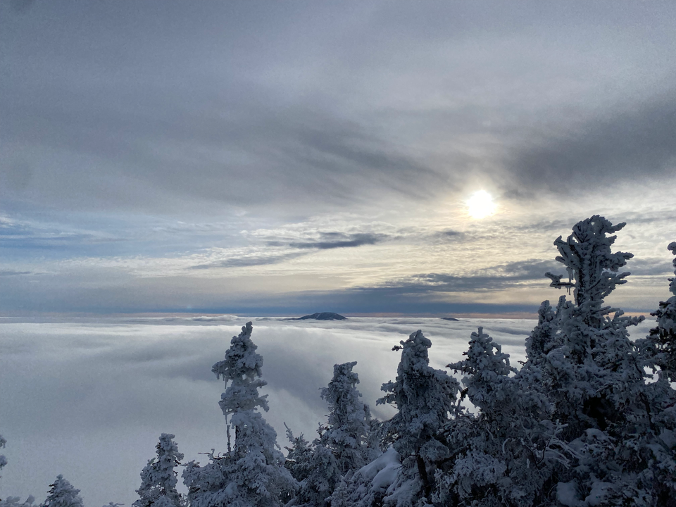
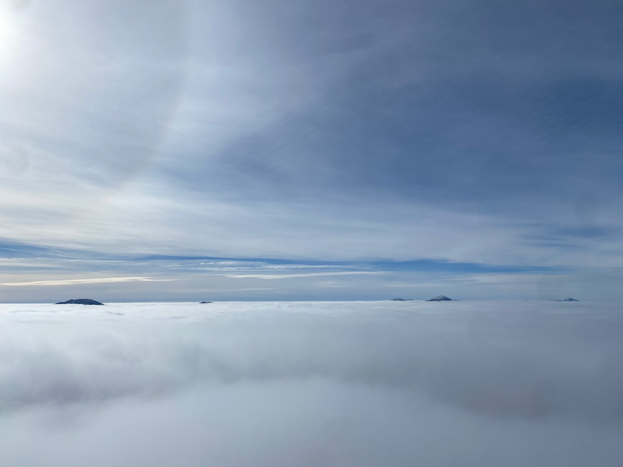
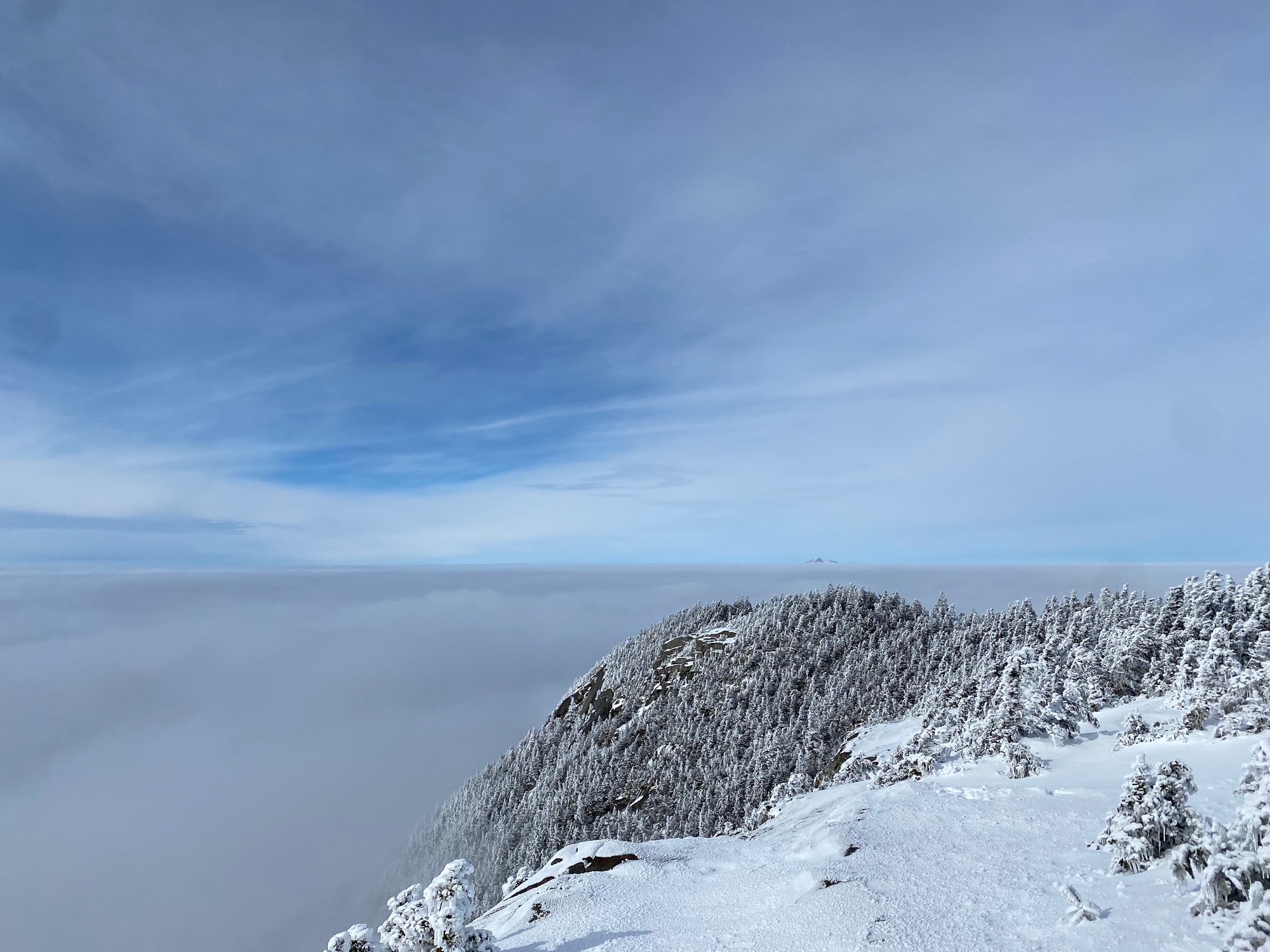
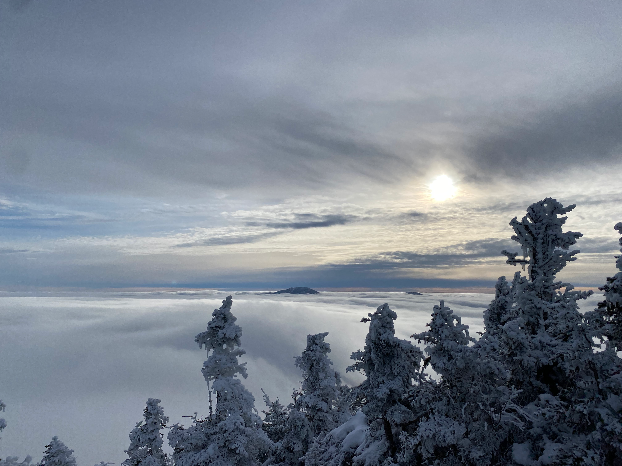
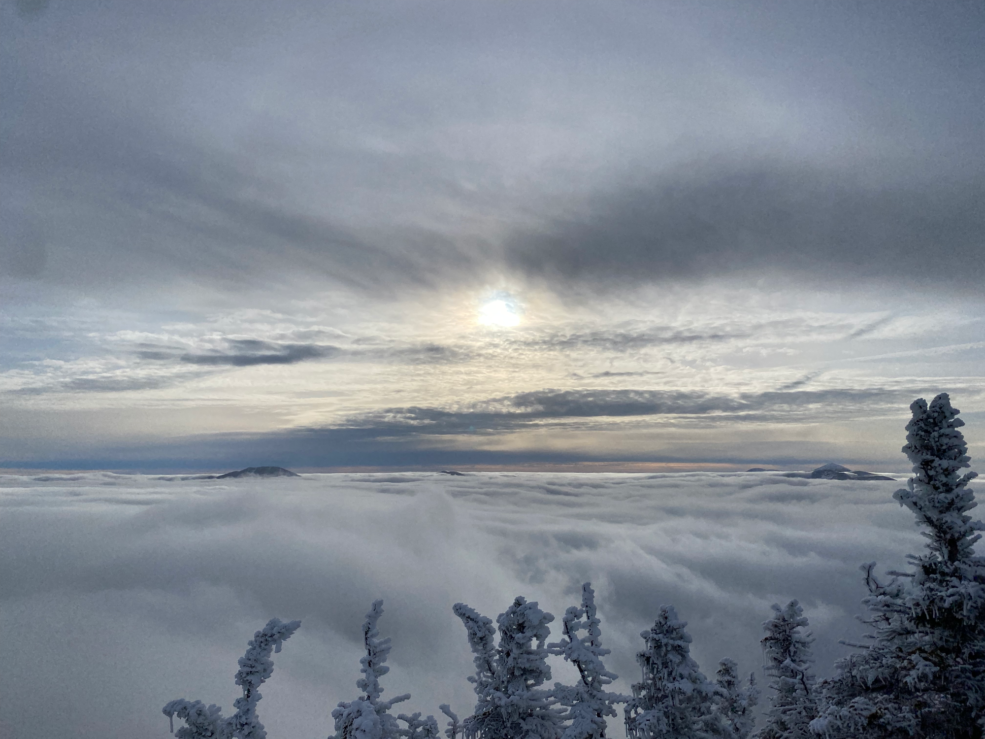
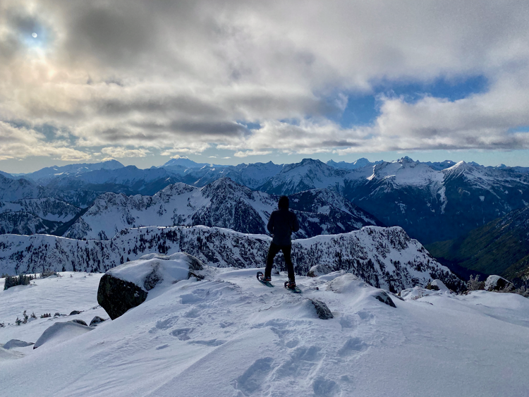
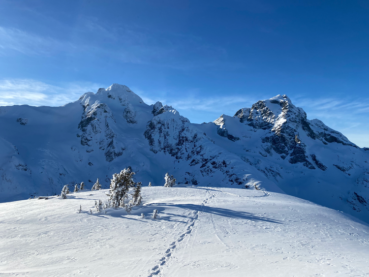
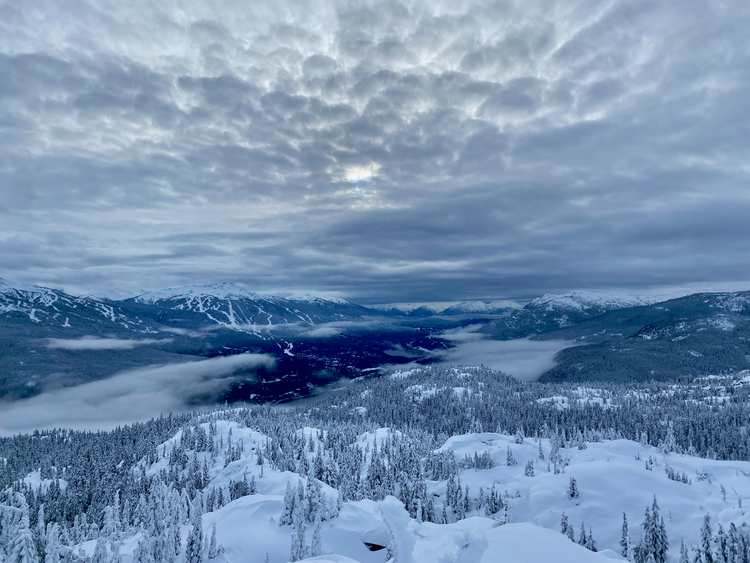
After that, the summit is about 1km away. There were a few viewpoints through the trees but things didn’t really open up until the very top, where I was treated to 180-degree views to the north and west. There was a thermal inversion and the summit was above the clouds, which resembled a massive ice sheet with only the highest peaks, such as Marcy and Whiteface, poking through. It was stunning and I spent a long time on the summit enjoying the views.
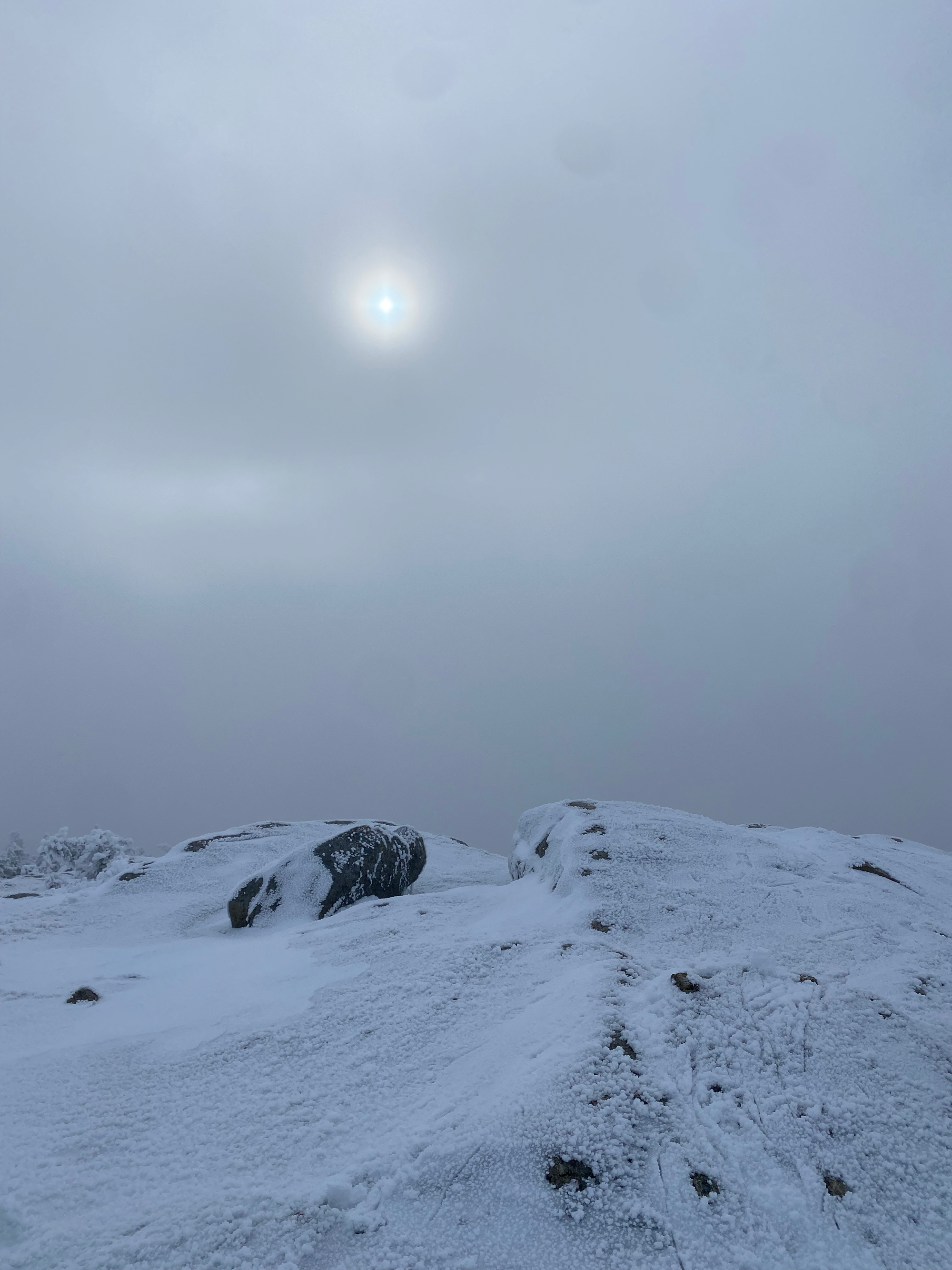
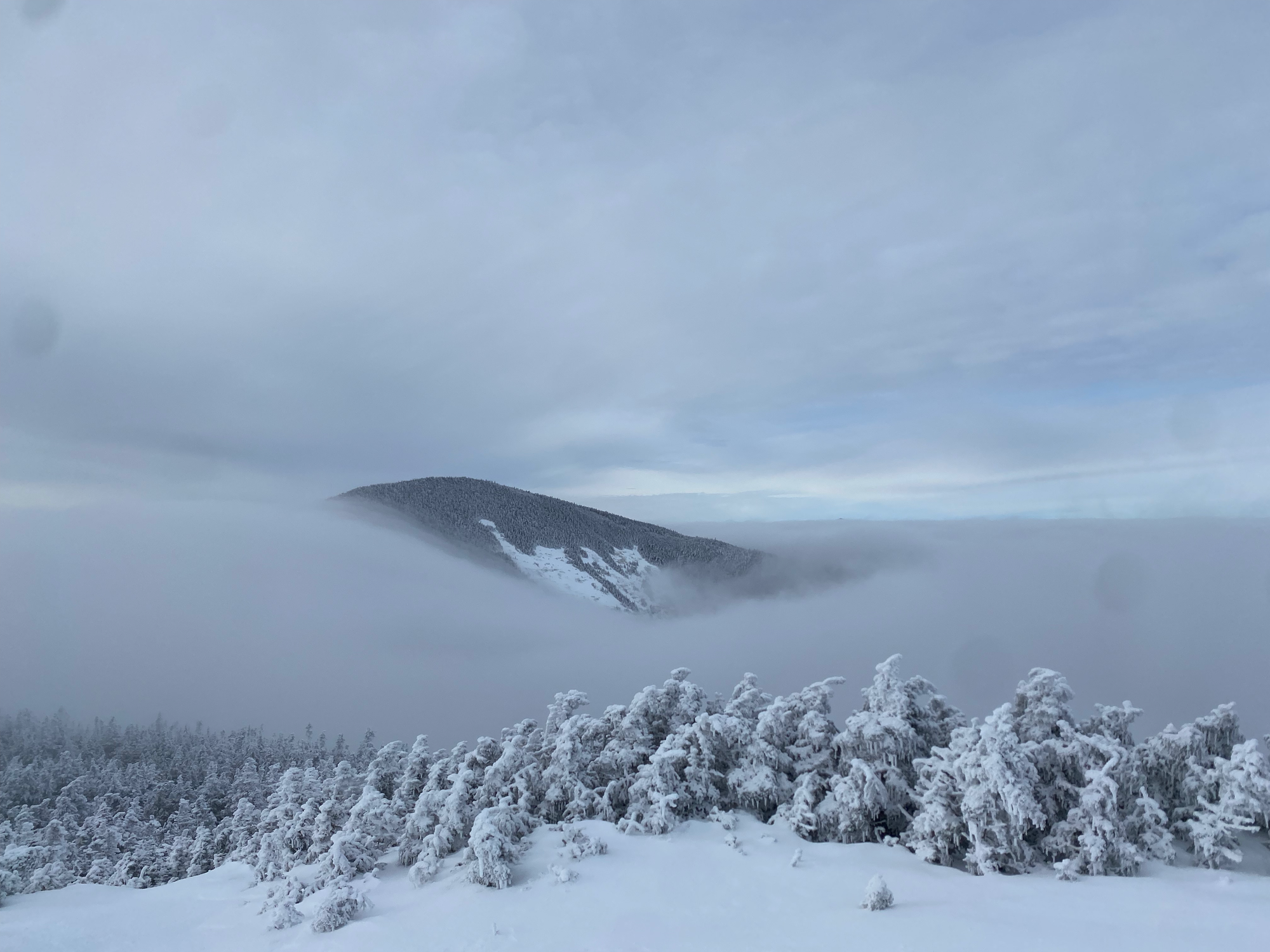
From there the trail backtracks about 200m then descends, and keeps descending, to Rocky Peak Ridge. There’s one infamous icy section about halfway down that was manageable with careful maneuvering in microspikes, but it apparently gets a lot worse in icier conditions. The ascent from the col to RPR was significantly less steep. Rocky Peak Ridge has a much more open summit than Giant, and usually has a better view, but today it wasn’t high enough to be out of the clouds. I waited on the summit for about half an hour: the clouds cleared for a couple minutes and I had a nice view of the fog cascading over the ridge and down into the valley.
Then it was time to return to the car. I wasn’t looking forward to the climb to the Giant trail but it was over pretty quickly. On the way down I enjoyed some more cool views of the inversion before descending into the clouds.
I made it to the car just before sunset and drove home. Driving through downtown Montreal at rush hour was the hardest part of the journey.
Member discussion