Larch Madness (Frosty Mountain East and West Summits)
Date: October 3, 2024
Distance: 23.5km
Elevation gain: 1437m
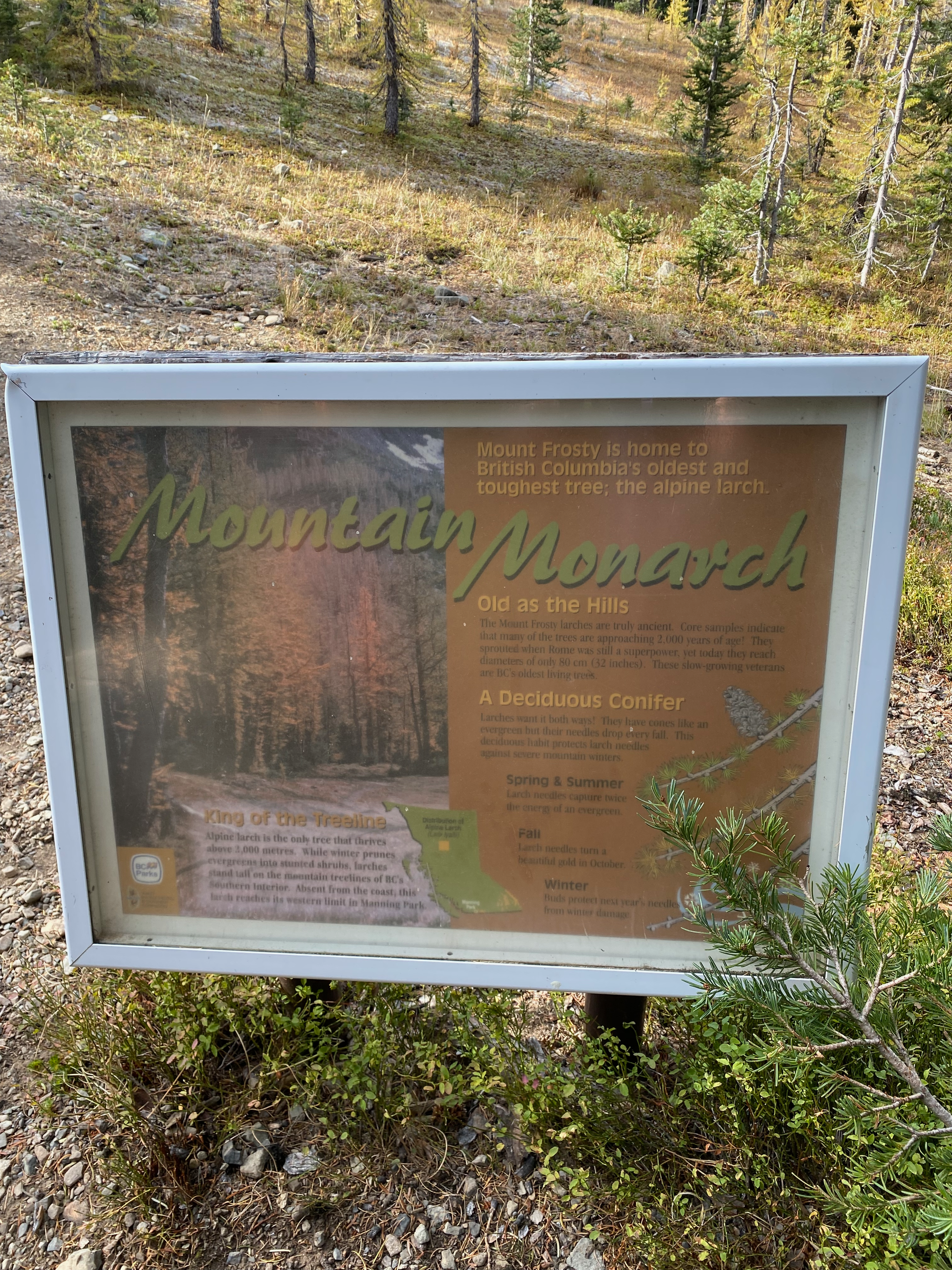
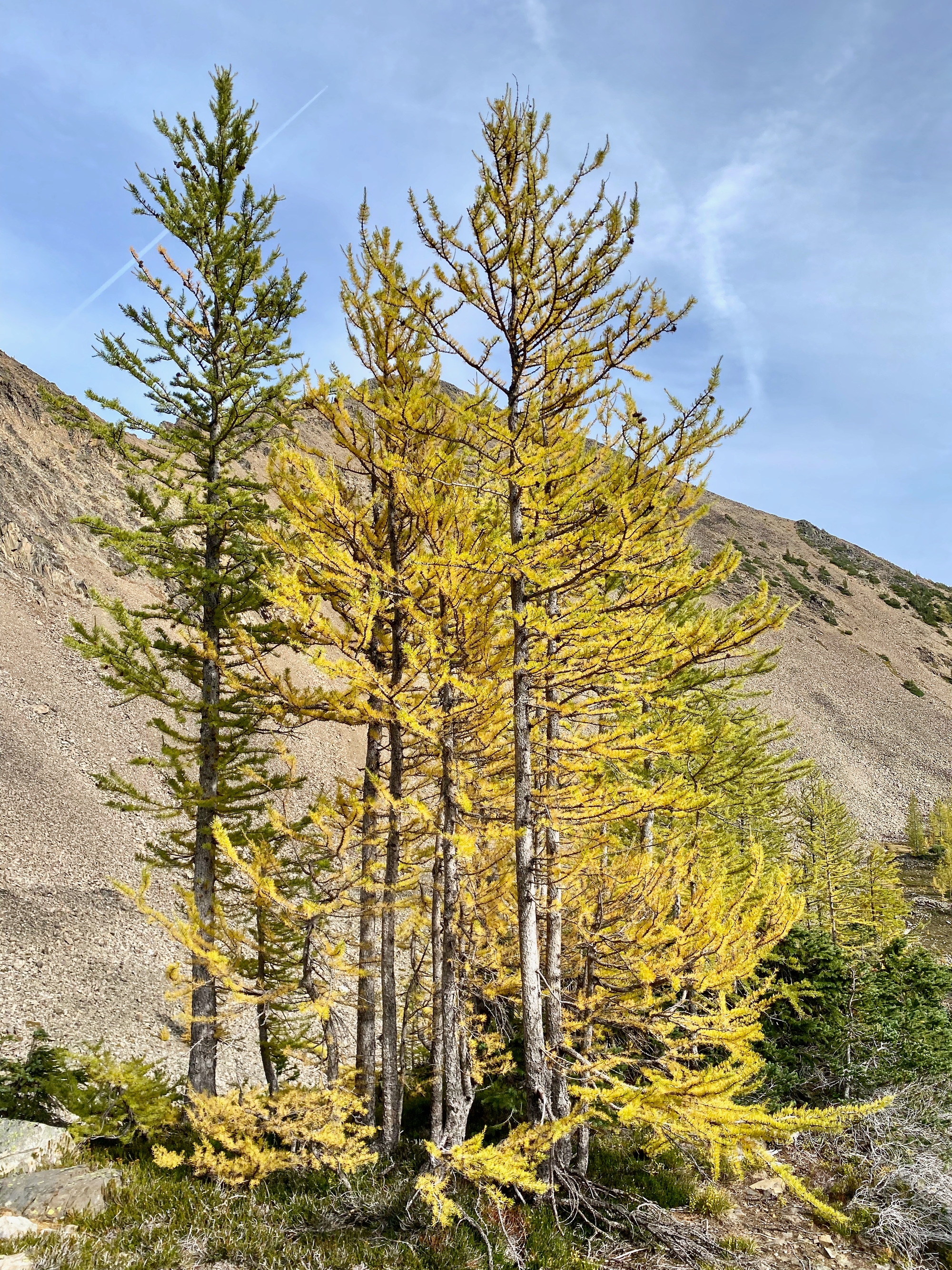
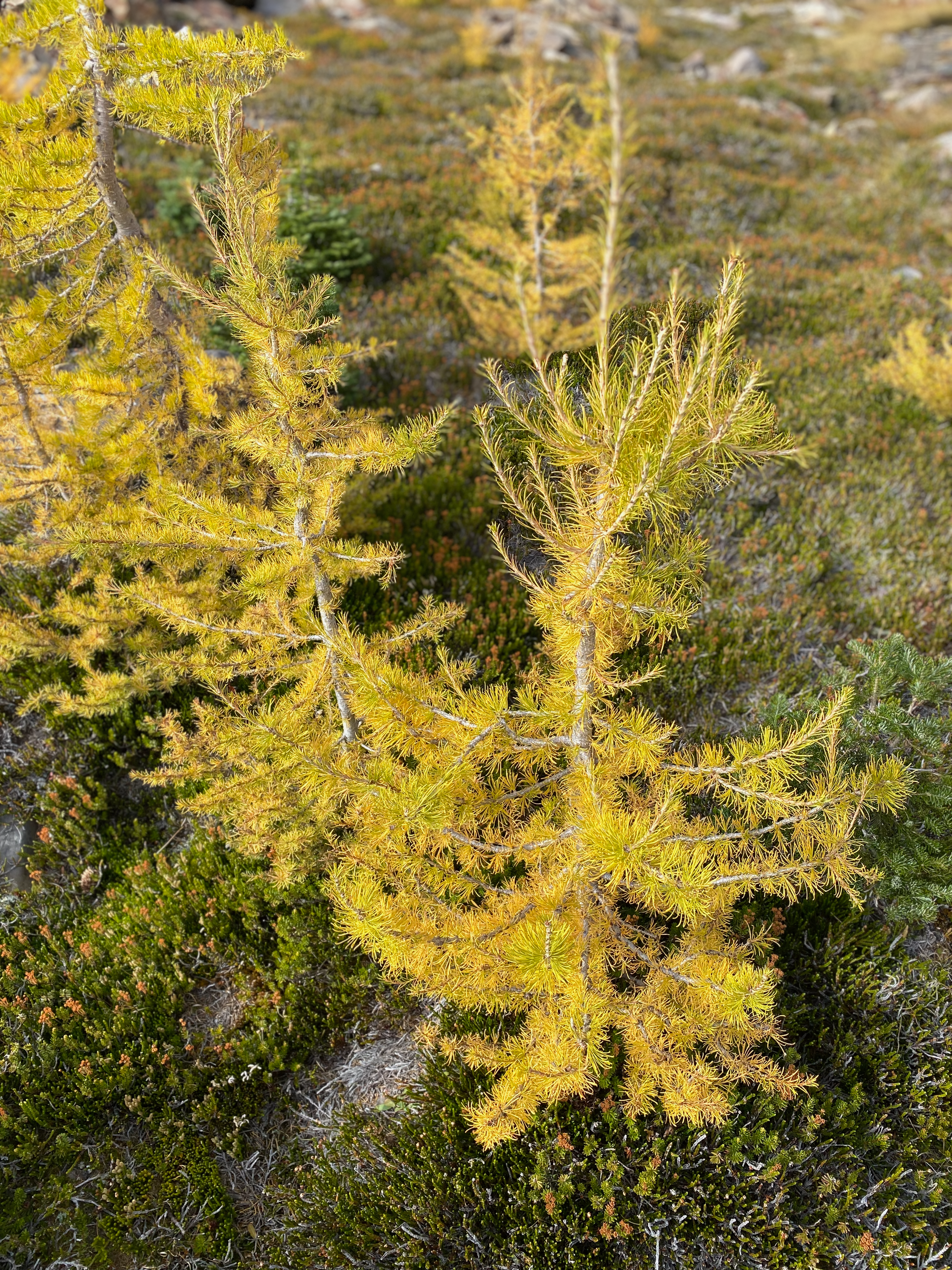
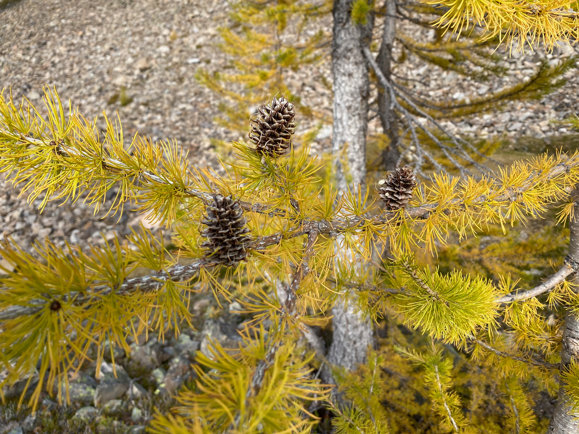
Every fall, the needles of the alpine larch turn gold. Larches are common in the Rockies and Washington, but much rarer in southwestern BC, where they are only found in small pockets in and around Manning Park. The largest and most popular larch grove is found on Frosty Mountain, where plateaus at the right elevation provide ideal habitat. Peak fall colours occur in the first or second weeks of October.
As expected, the area is extremely popular on weekends, so I went on a Thursday to see larches in peace. I was joined by David and Pankaj from the SWBC Peakbaggers group. In addition to larches, we wanted to traverse from Frosty Mountain’s eastern summit, which most hikers visit, to the true summit, which is 1km away and is usually accessed in the winter. The scramble between the two is rarely done, and we would learn why.
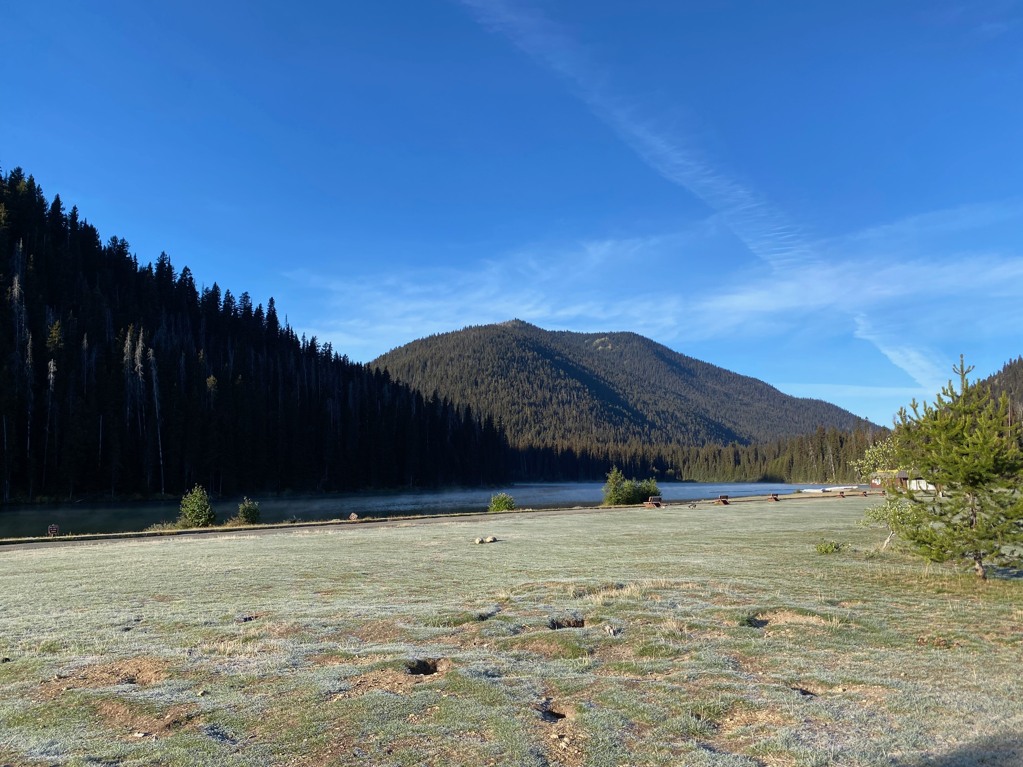
I hadn’t been to Manning Park in a while and forgot how large it is. We passed the west gate at 8am, but it still took another 30 minutes to reach the trailhead at Lightning Lake Beach. Frosty was living up to its name: it was several degrees below zero and frost was everywhere. Steam was rising off the lake.
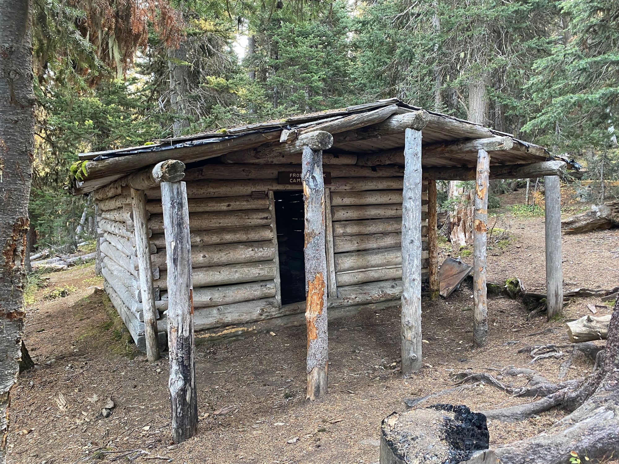
The trails in Manning Park are very well-maintained by BC standards, feeling more like Washington State superhighways. The larches are 9km away from the parking lot, but that distance went by quickly. Along the way we passed a cabin and campsite at Frosty Creek Camp. Past the camp the trail ascended and we saw our first larches.
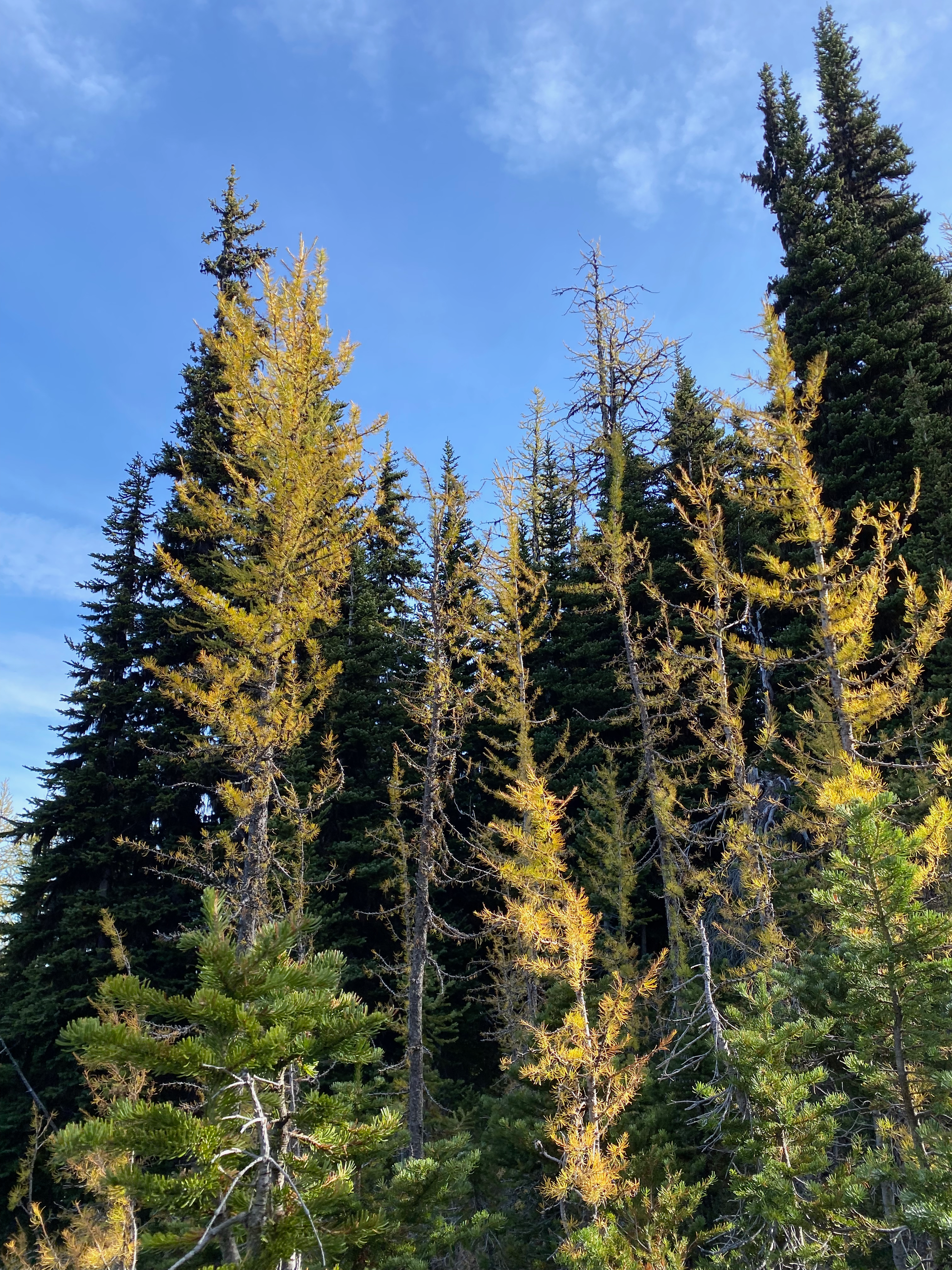
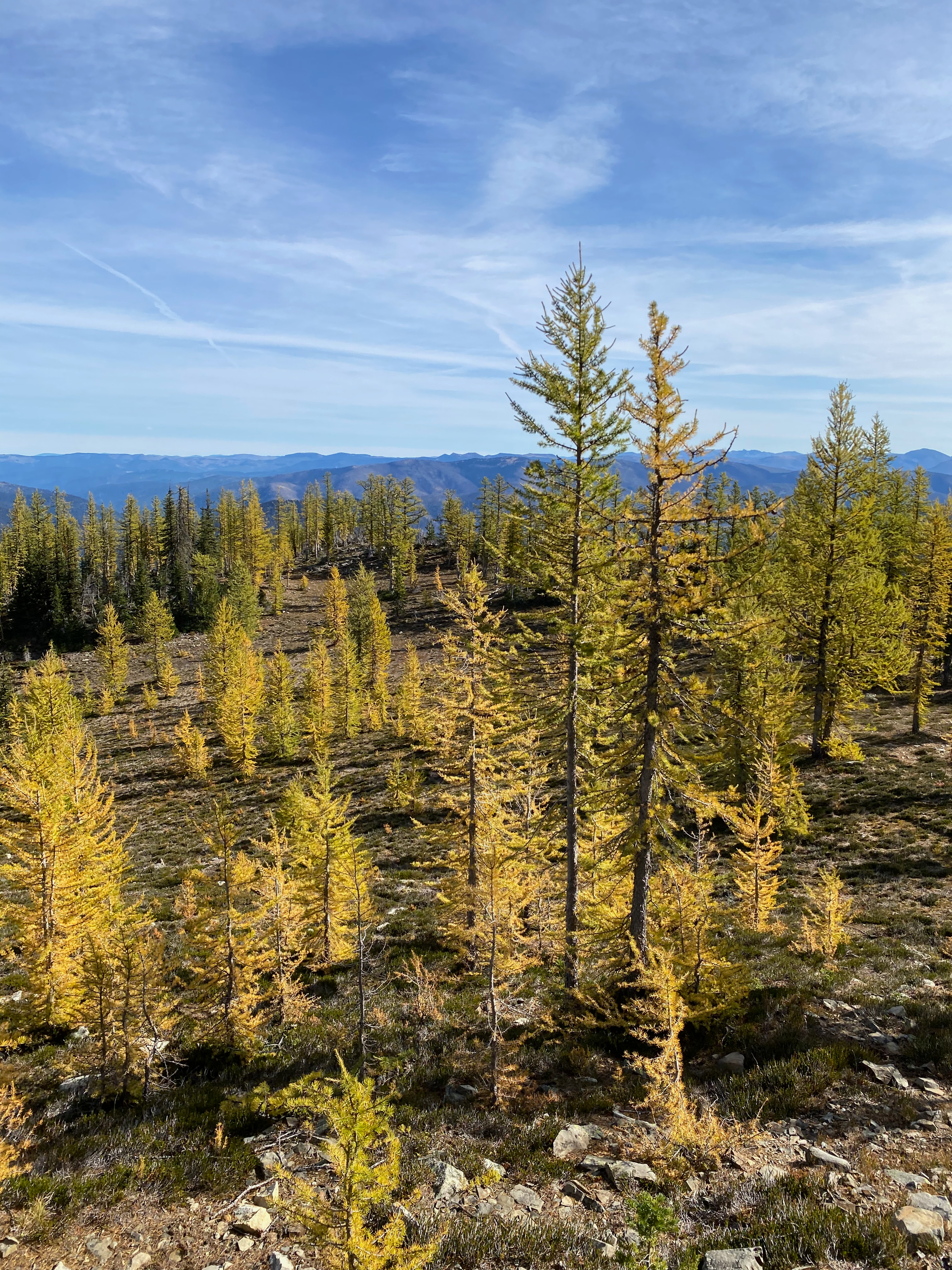
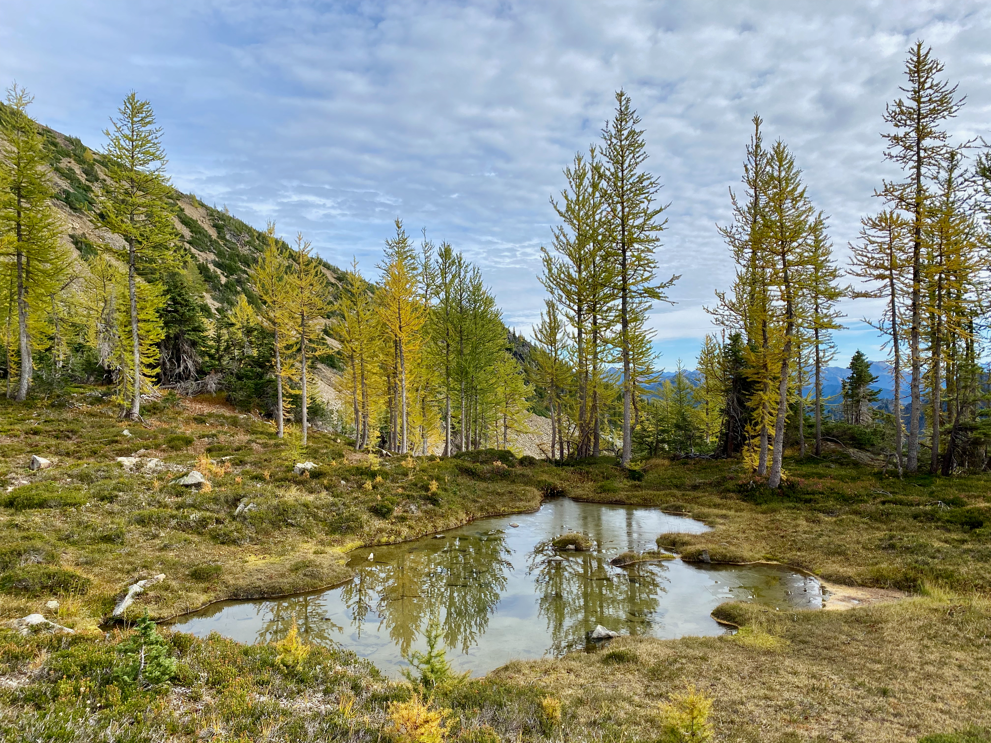
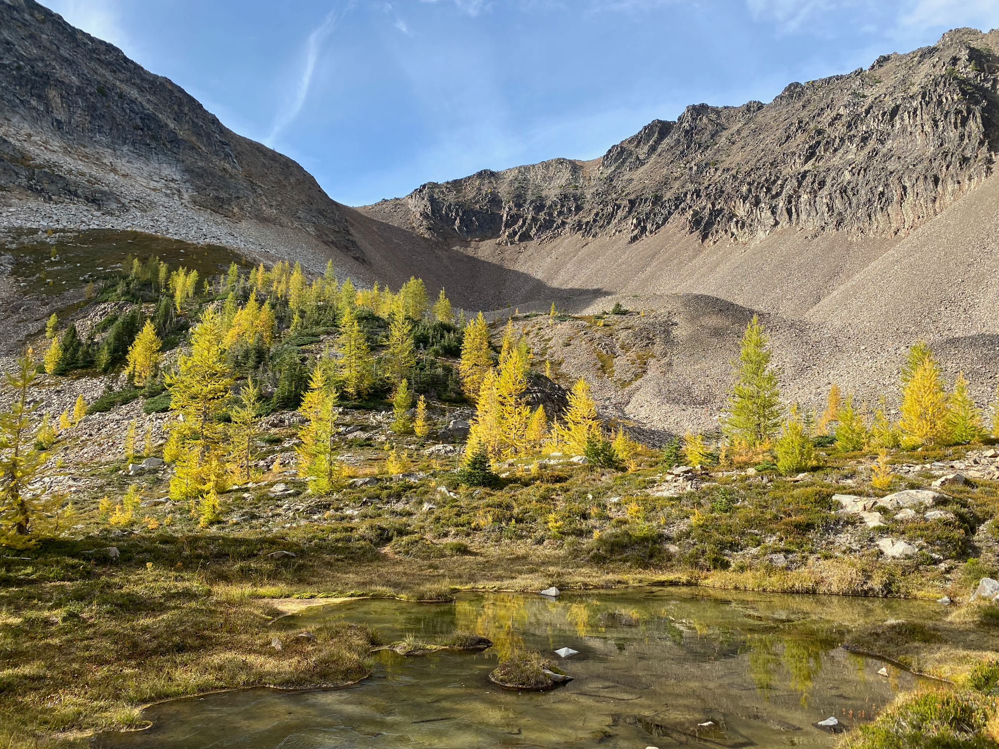
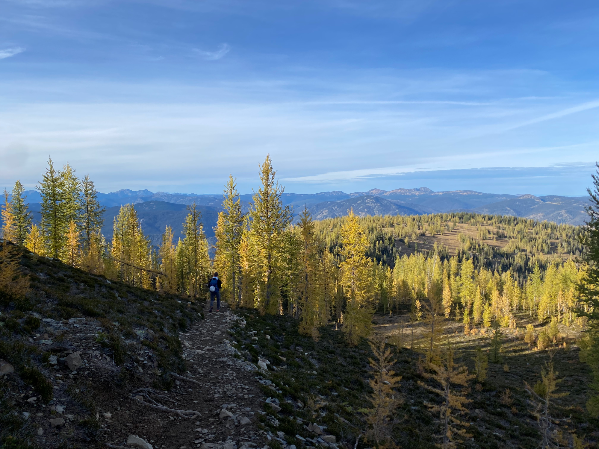
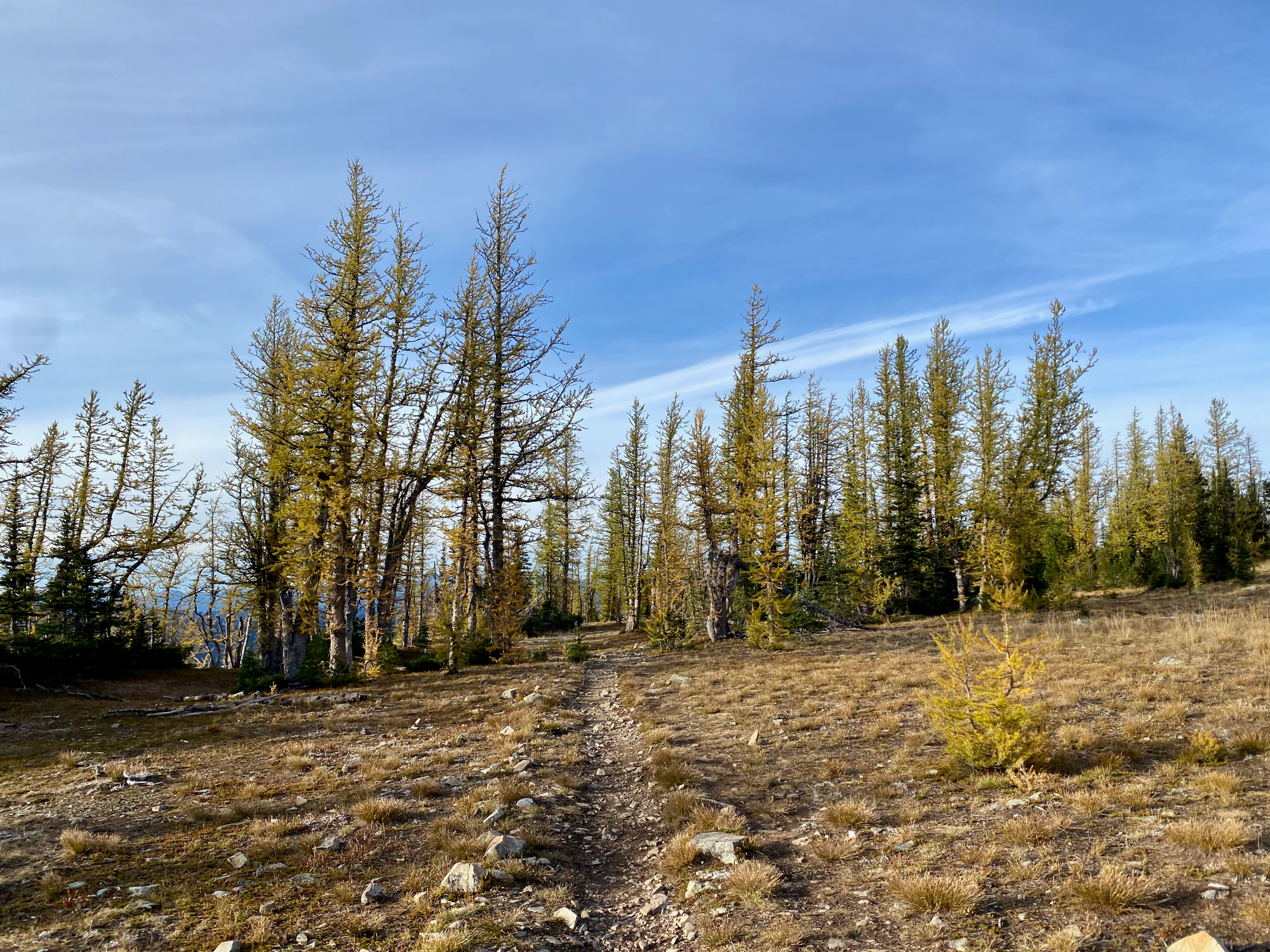
We soon reached a plateau containing several larch-ringed meadows. Most of the larches were a bright golden colour. Peak larch colours would probably be a couple days away. We did not resist the temptation to take hundreds of photos in the morning light.
Due to the harsh growing conditions at this altitude, the trees are small and spindly, despite some being over 2000 years old.
We only saw a couple other groups, but this area must get incredibly busy on weekends, as shown by the many trampled areas.
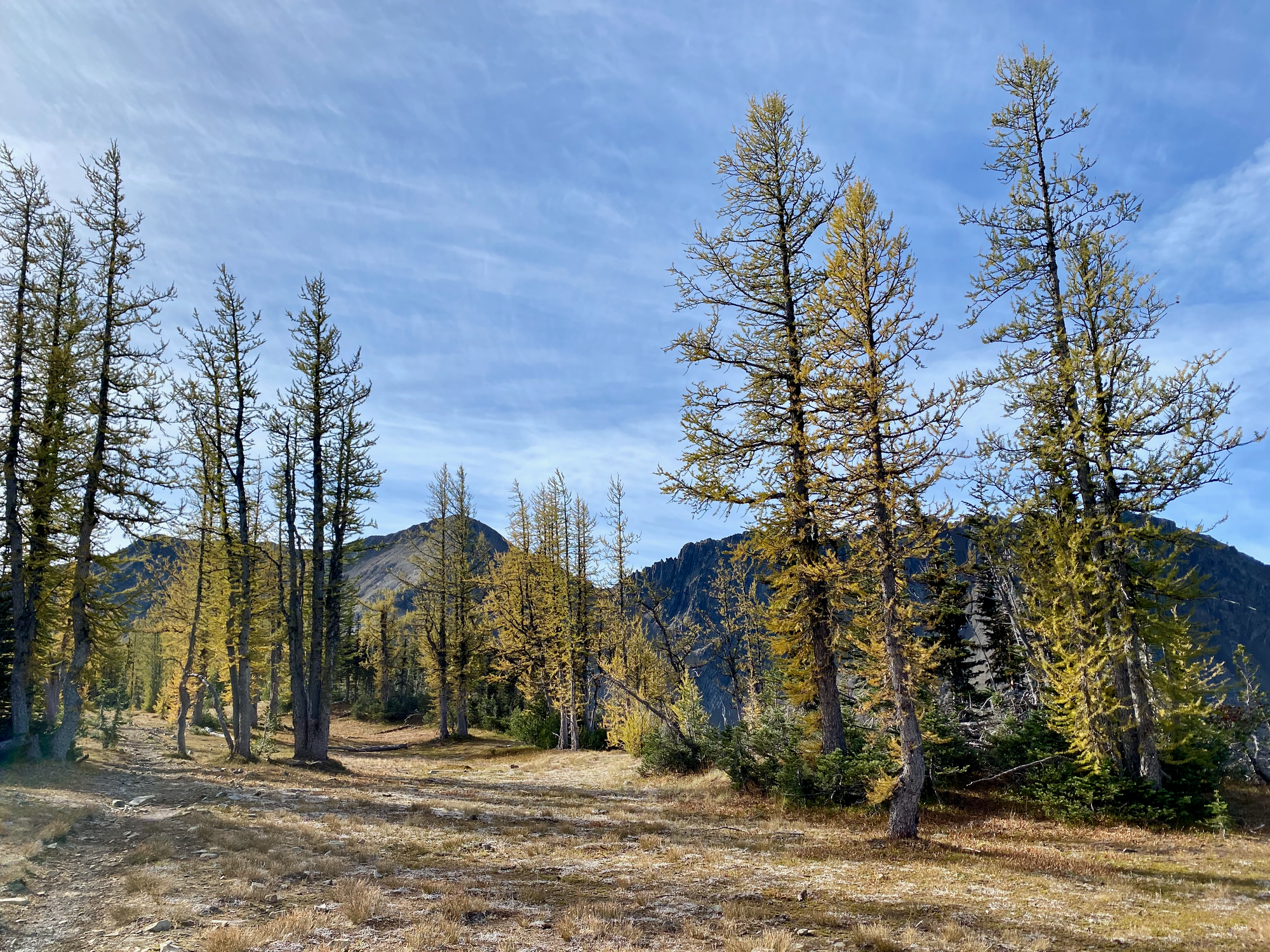
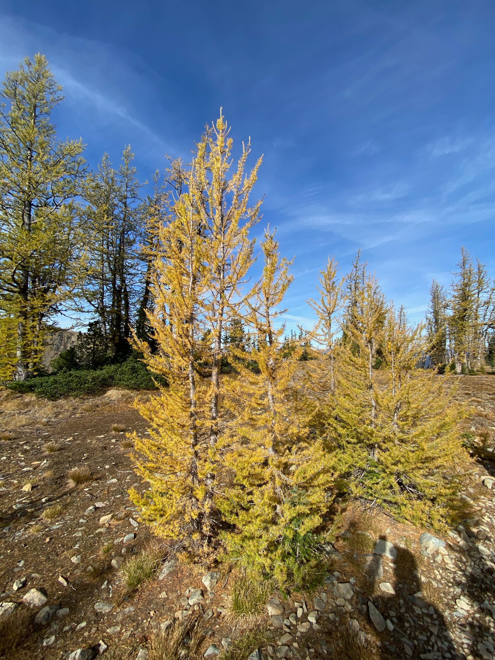
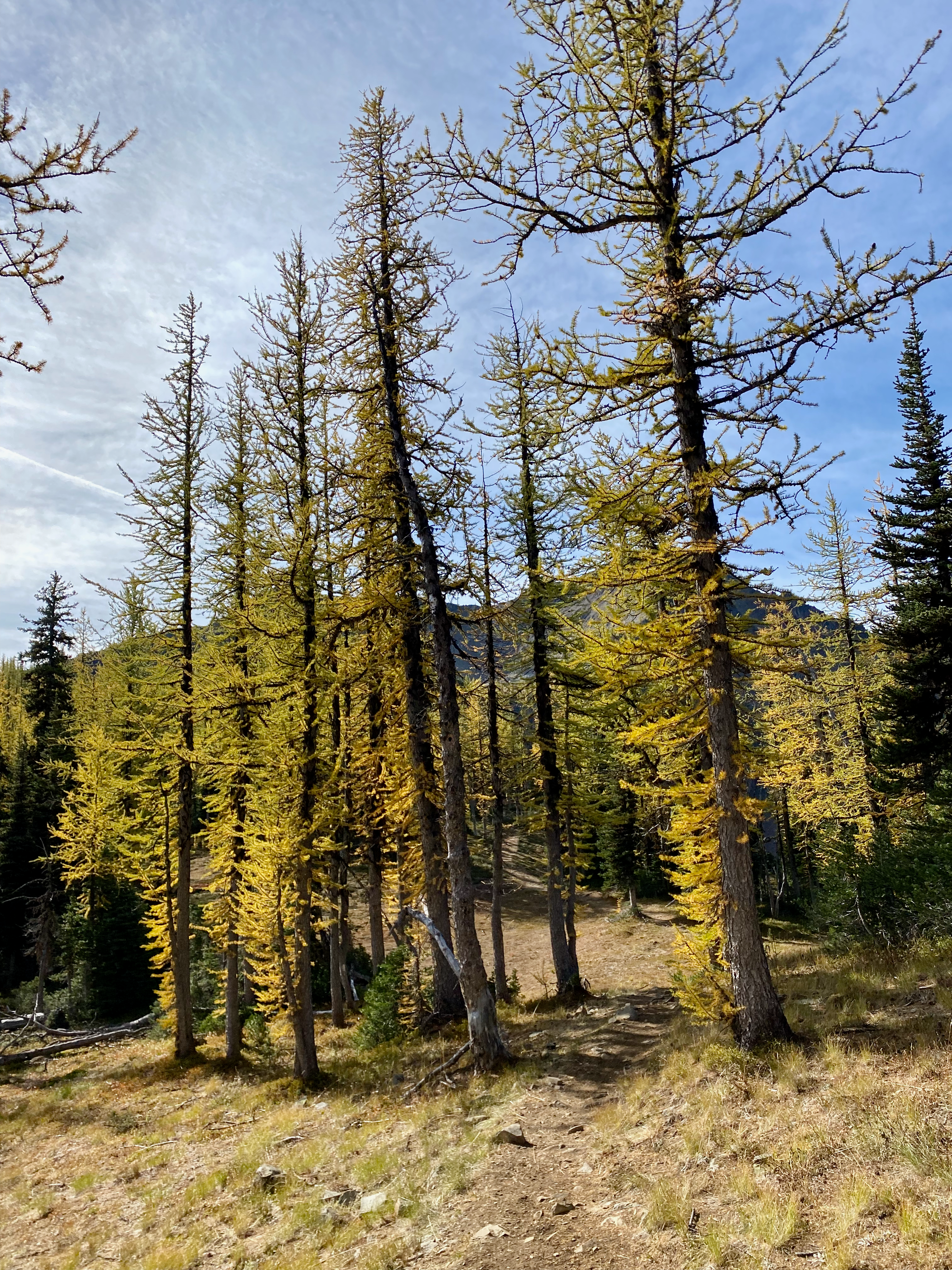
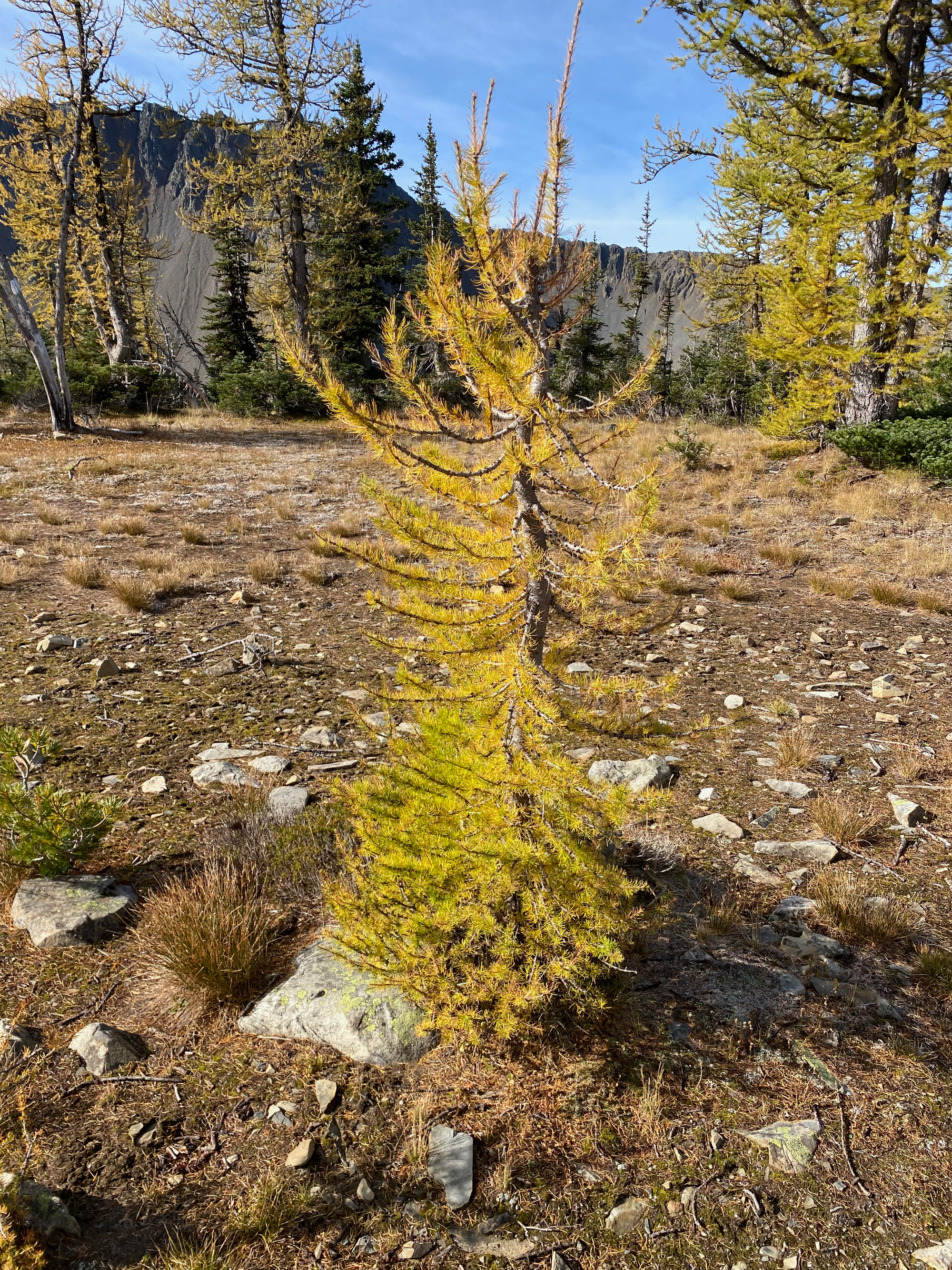
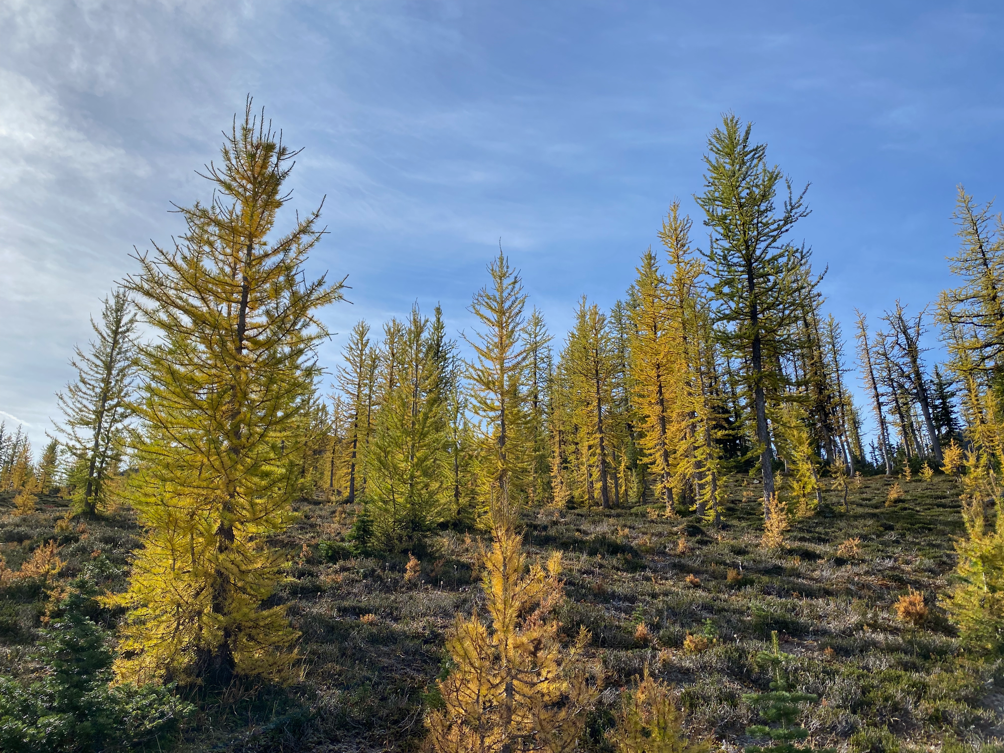
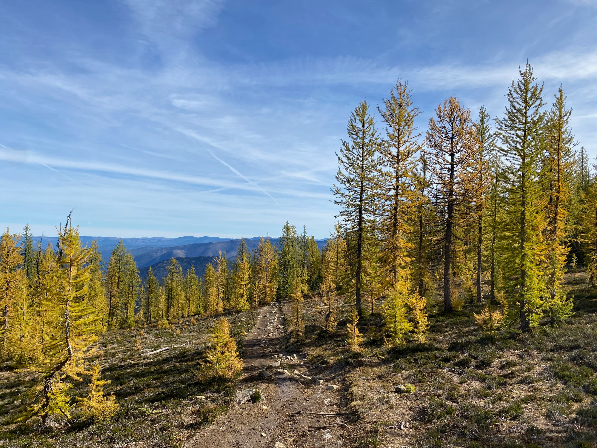
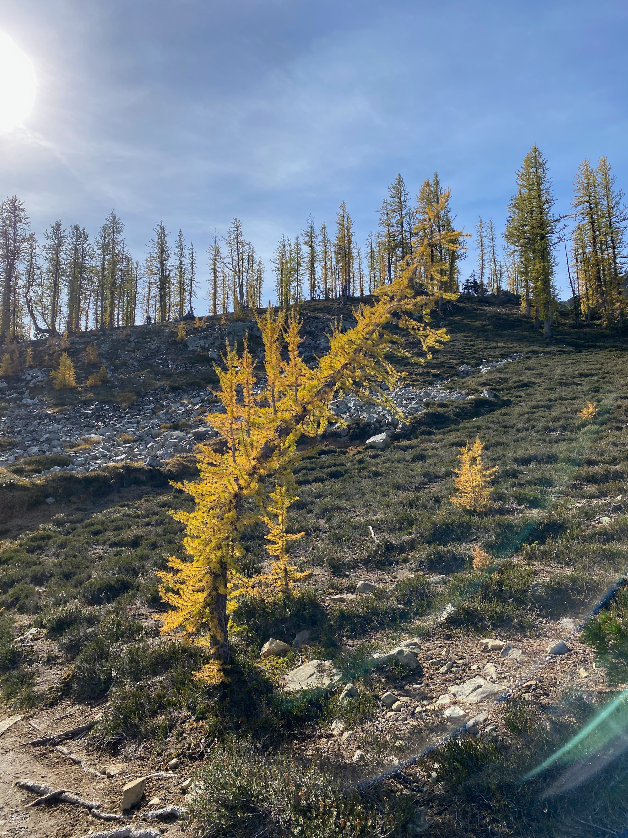
After admiring the larches, we continued on talus marked with purple spray-painted dots, which soon intersected with the Pacific Crest Trail/Windy Joe trail.
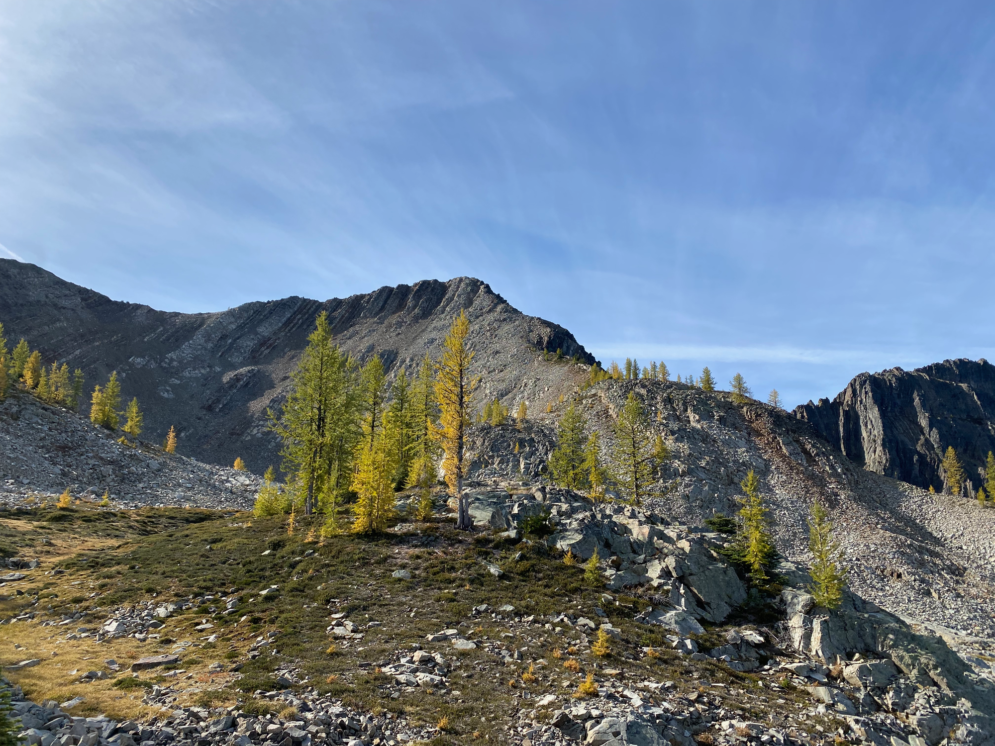
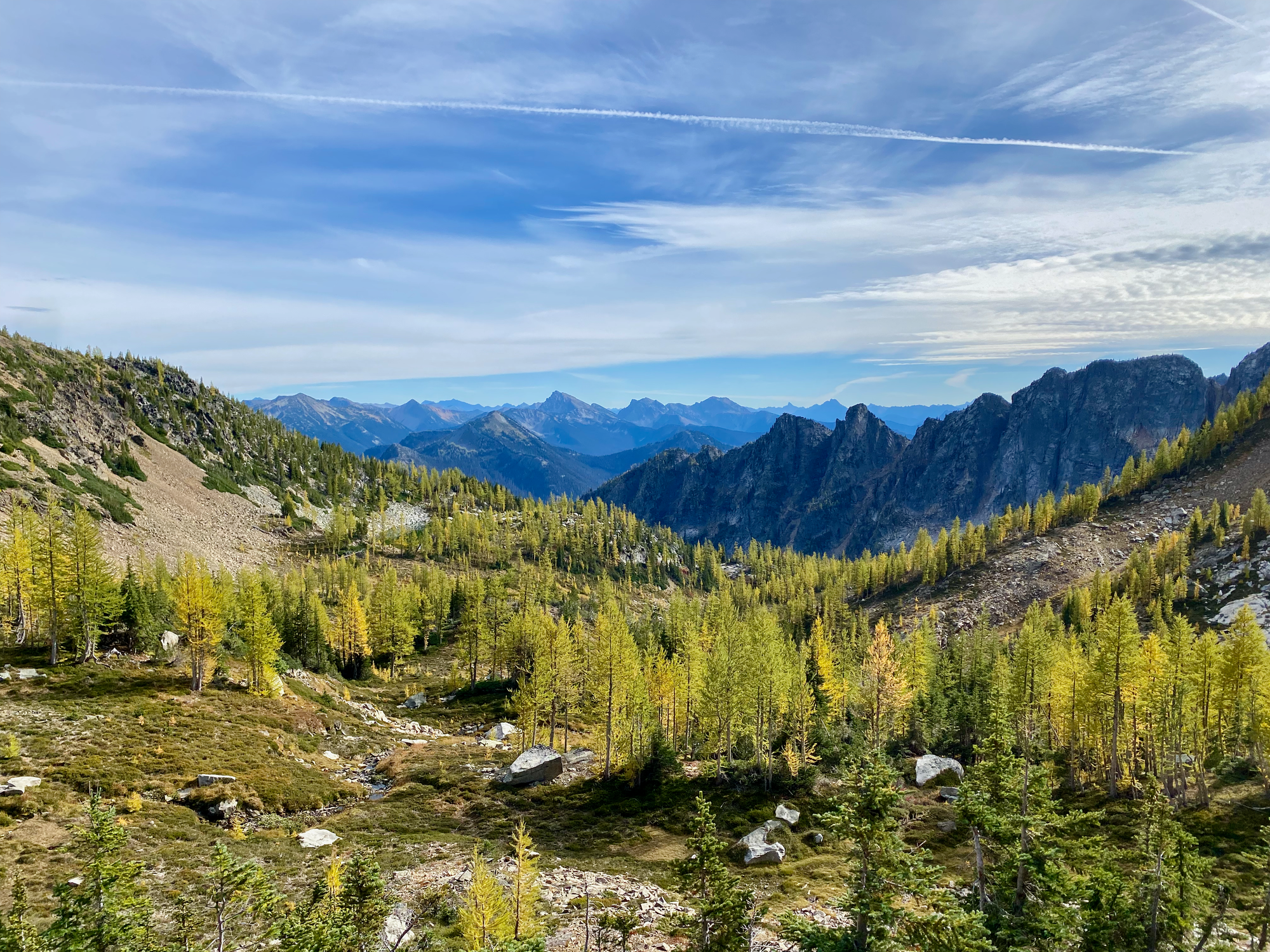
We then continued along a ridge to the eastern summit, marked with a cairn and post. It was quite windy, but a large rock shelter - complete with a bench - provided shelter from the winds. We rested for a while and enjoyed the excellent views of Manning Park and the American Cascades. Highlights across the border included imposing Castle Peak and the granite “Stonghold Peak” (someone misspelled it online)
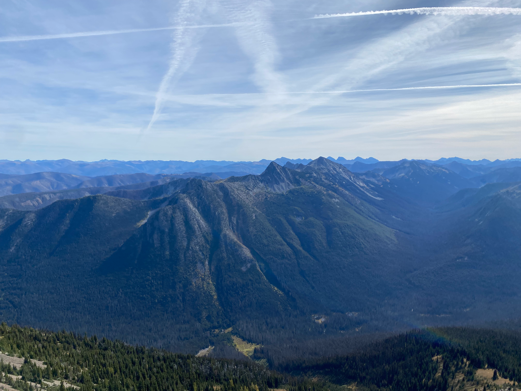
Almost everyone who goes to “Frosty Mountain” only goes here, but the west summit - which looked to be about the same height - is actually 17 metres higher. We put helmets on and began the scramble across. The descent looked daunting but was pretty straightforward, although the rocks were quite loose and we sent a few basketball-sized boulders tumbling down.
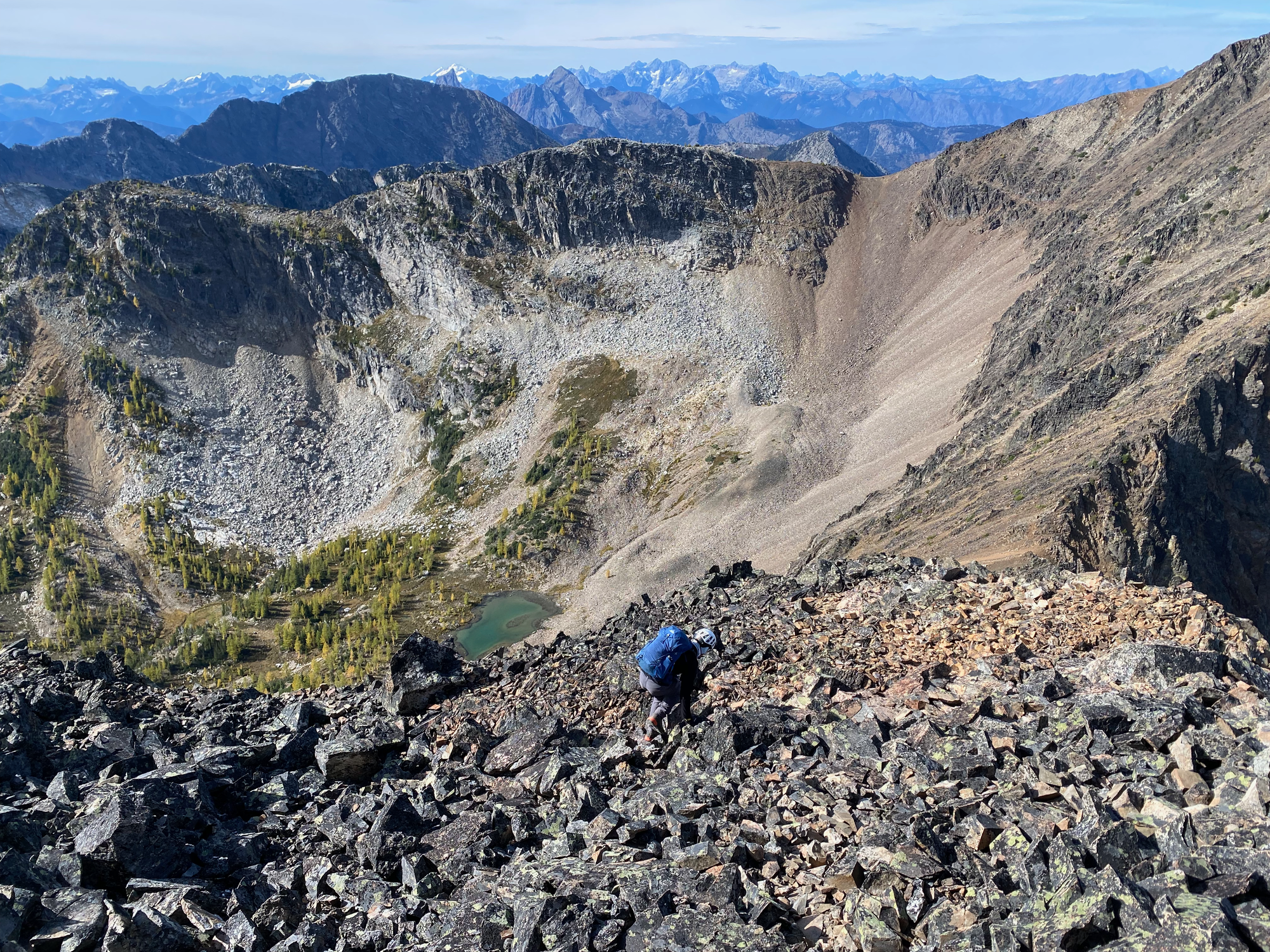
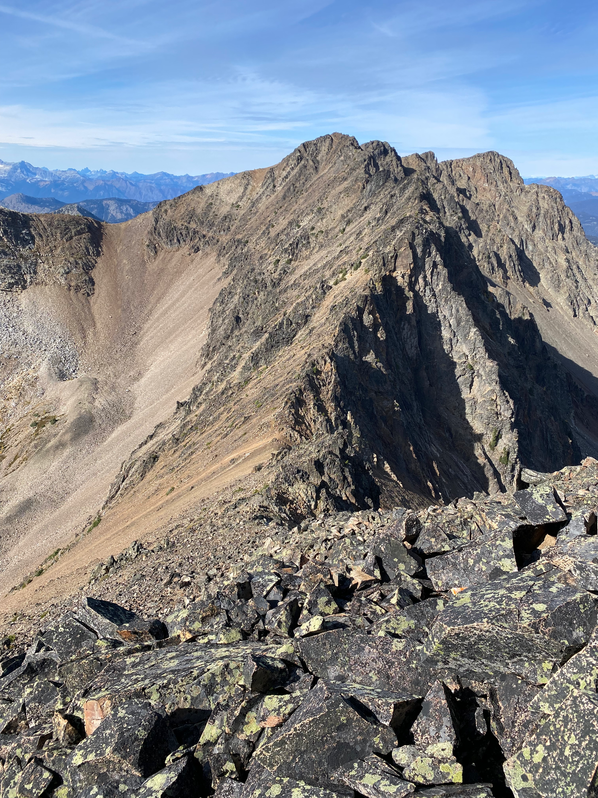
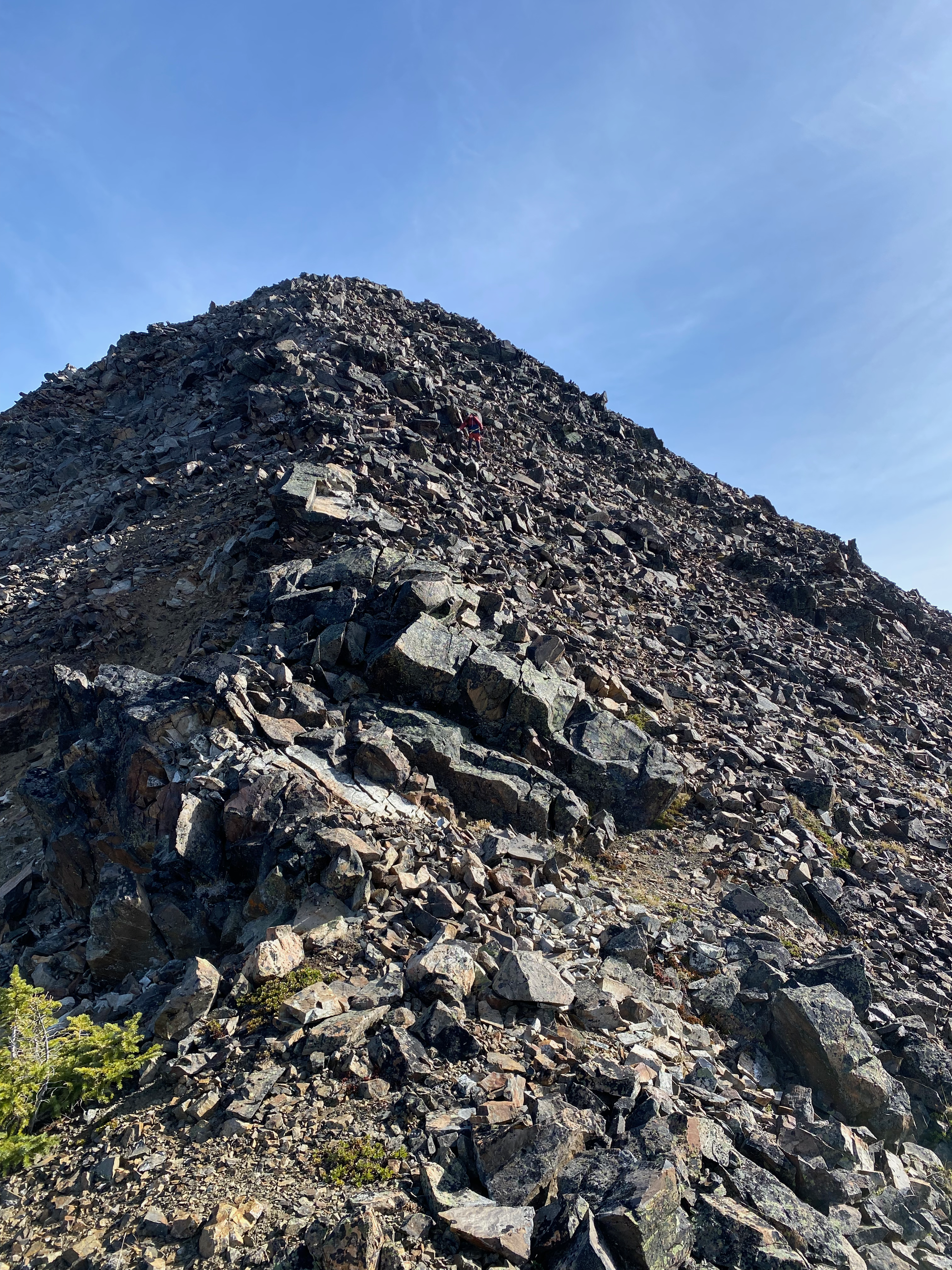
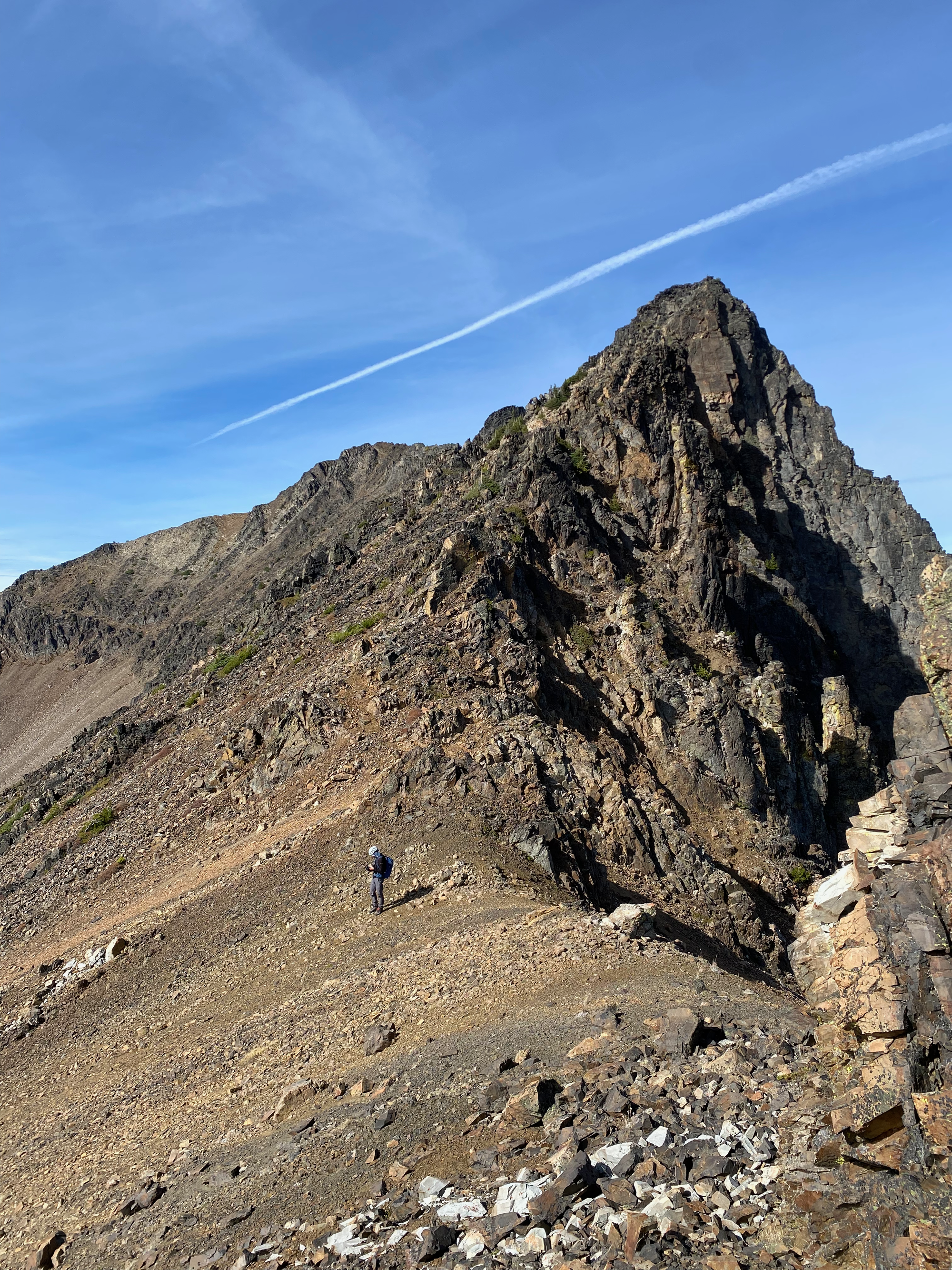
The ascent was trickier. We stayed to climber’s left (south) of the ridge to avoid several jagged pinnacles, climbing over several fins of crumbly rock and through small rock-filled gullies. At times handholds and footholds would break away mid-climb. The scrambling was mostly class 3 and never reached a class 4 level by our route. It’s less exposed, much longer, and as crumbly as the true summits of Outram or Brunswick. Even with the loose rock, I still enjoyed it.
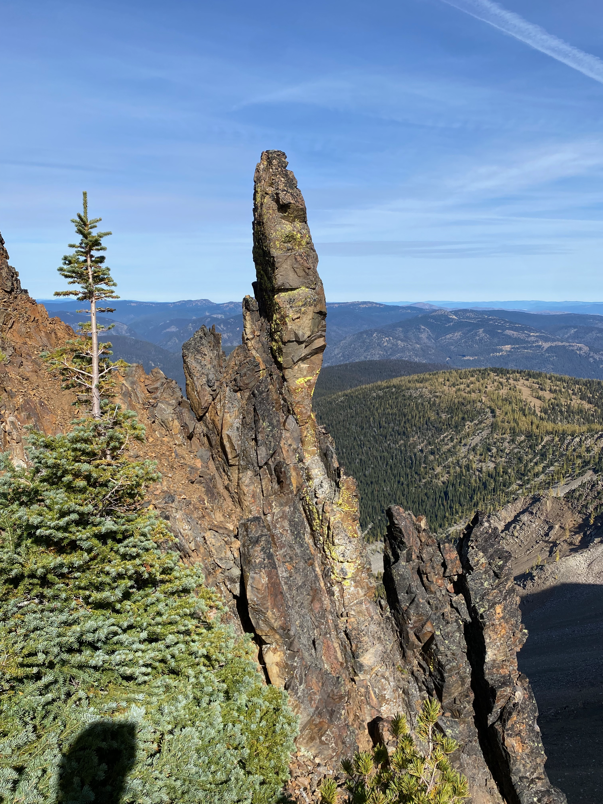
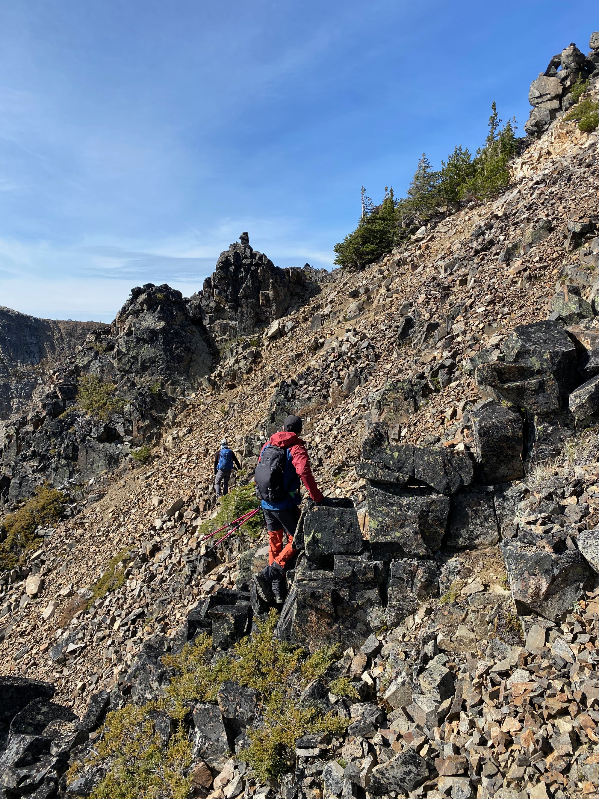
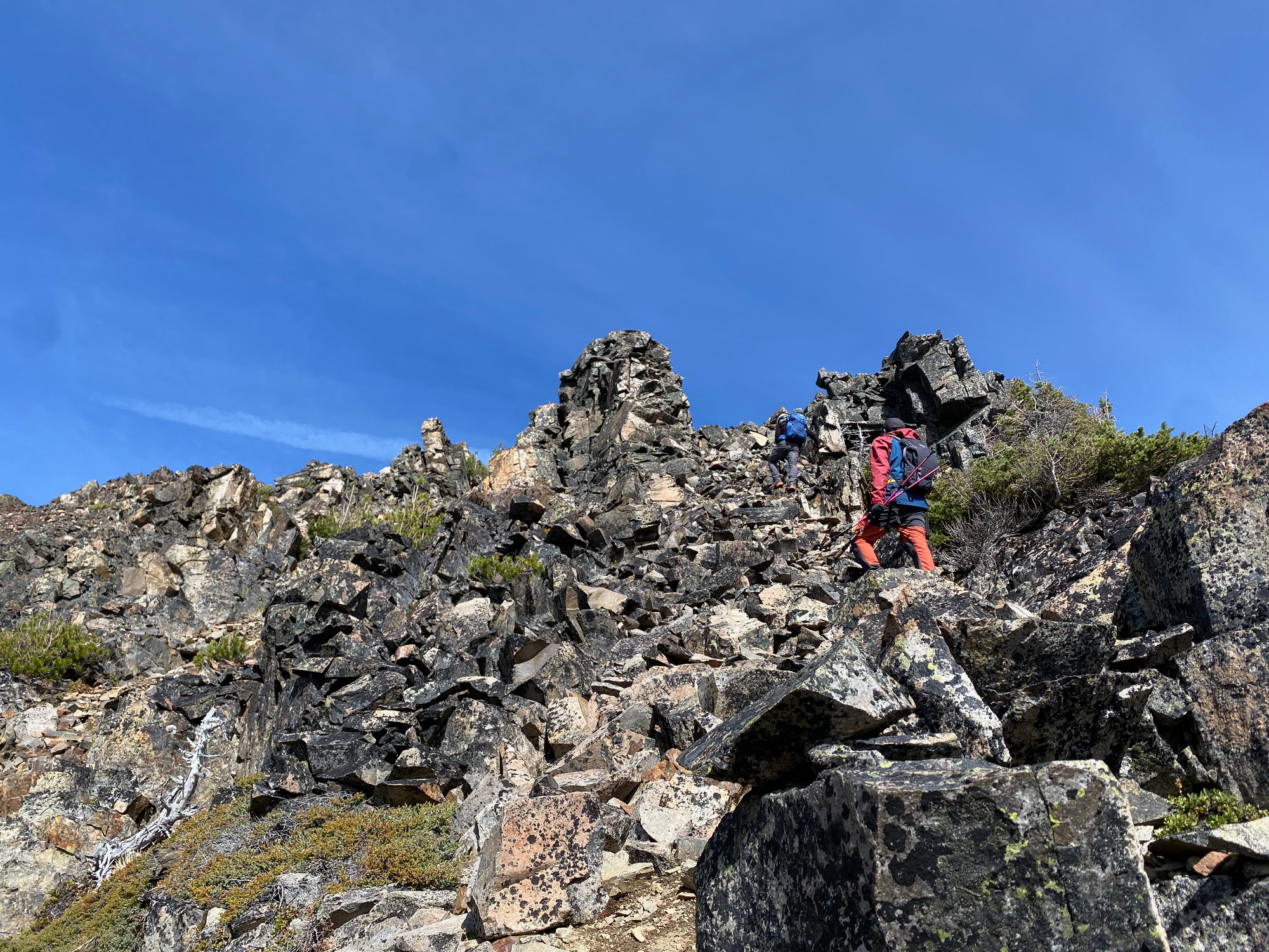
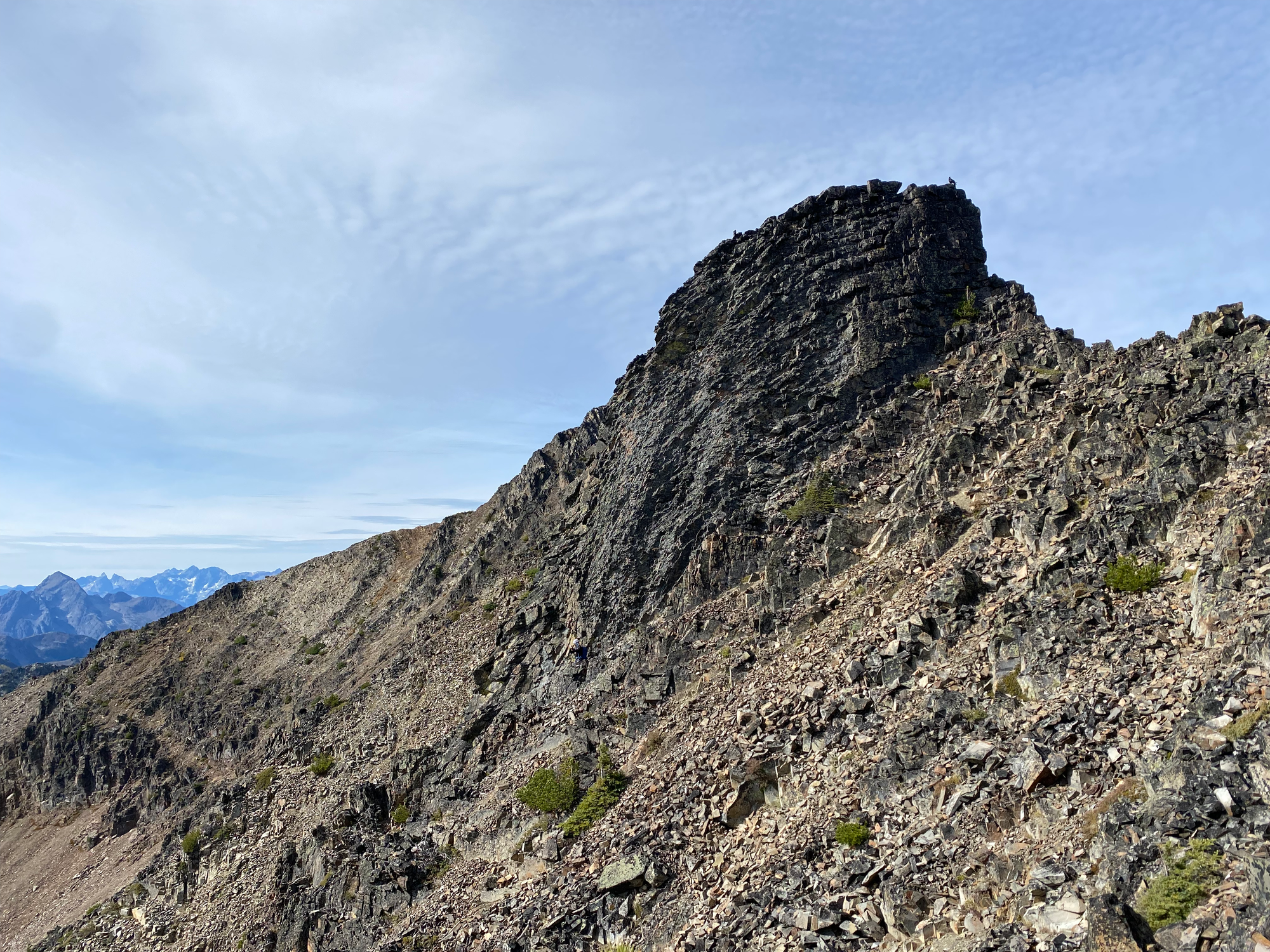
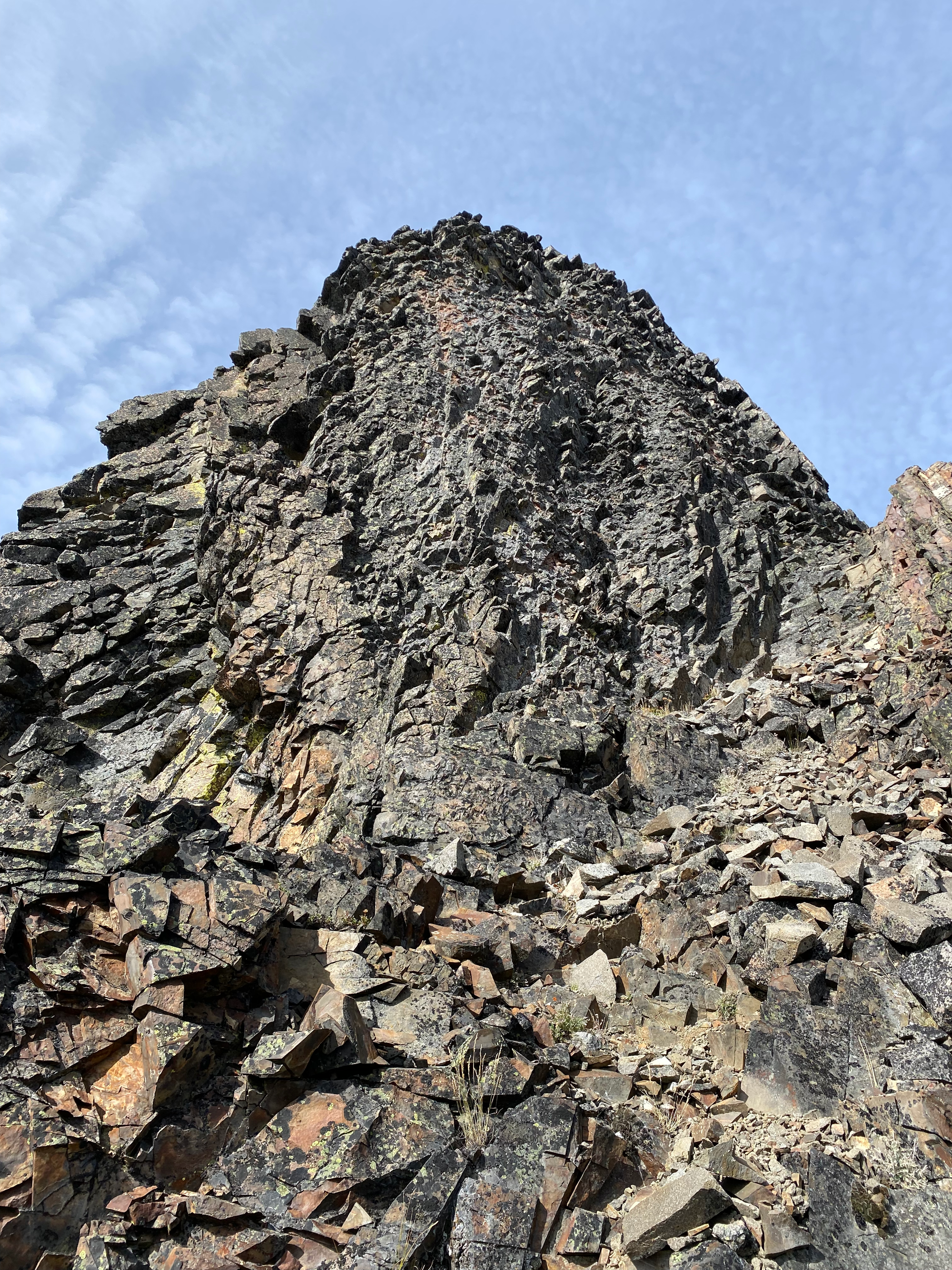
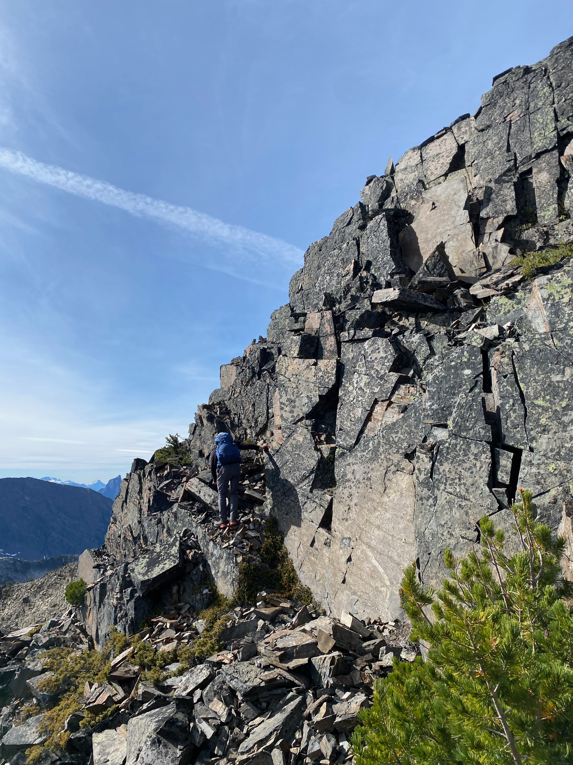
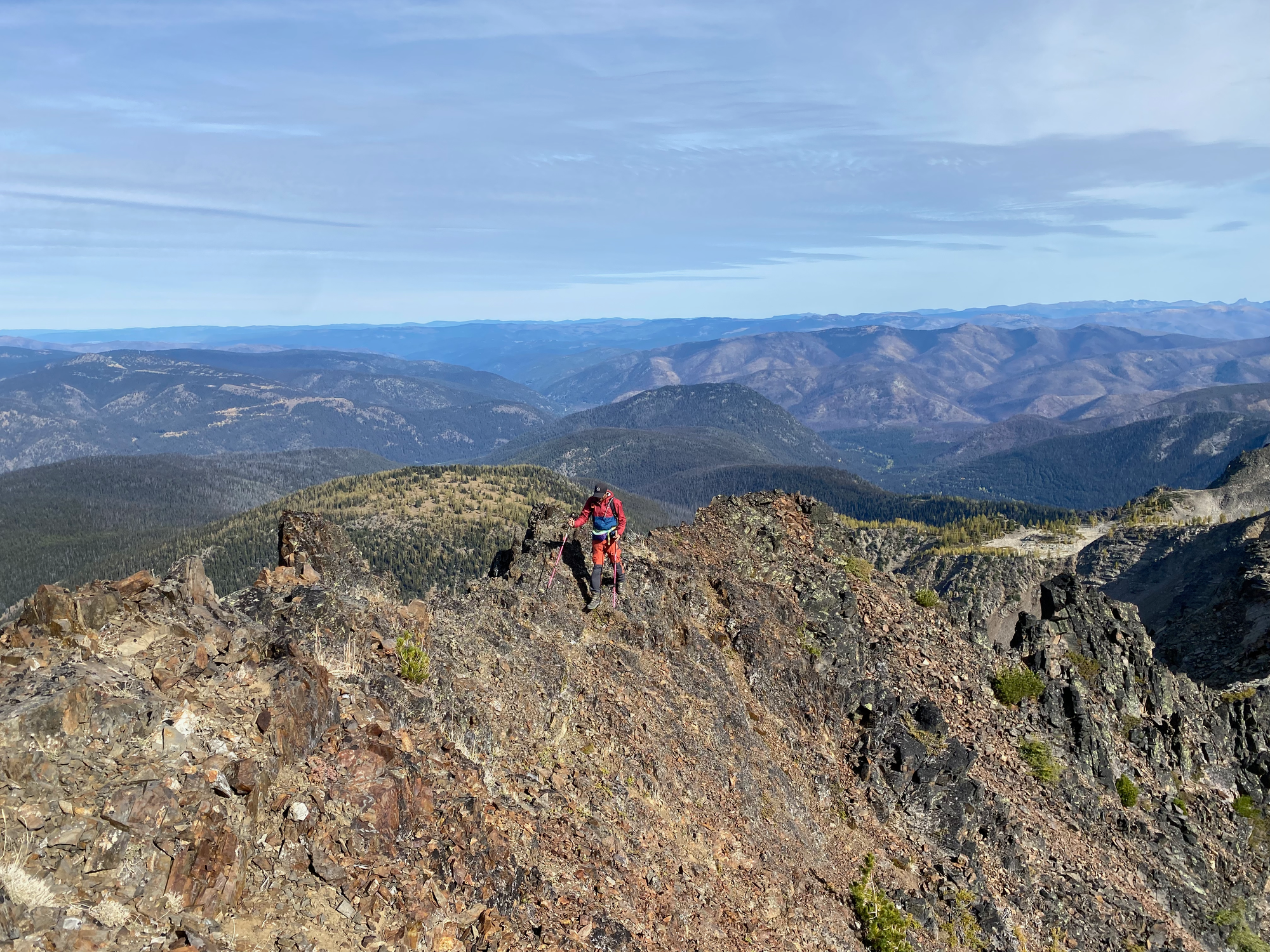
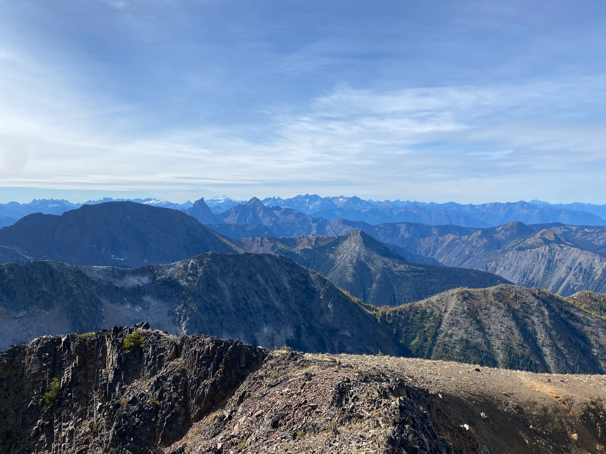
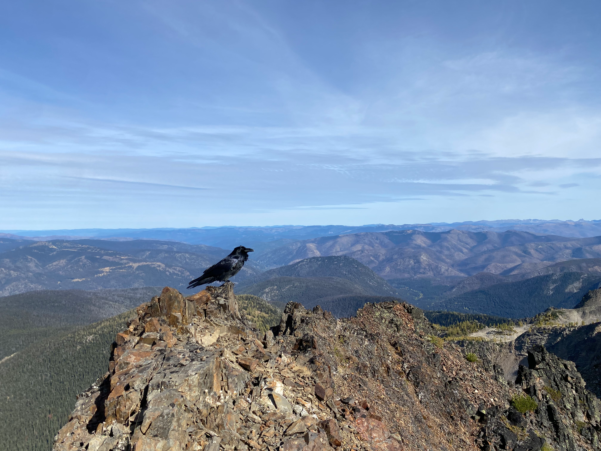
The true peak had excellent views of the east summit, Manning Park, Baker, and remote peaks in the Northern Cascades, especially Hozomeen, which looked like a scarier version of the Lions from this angle.
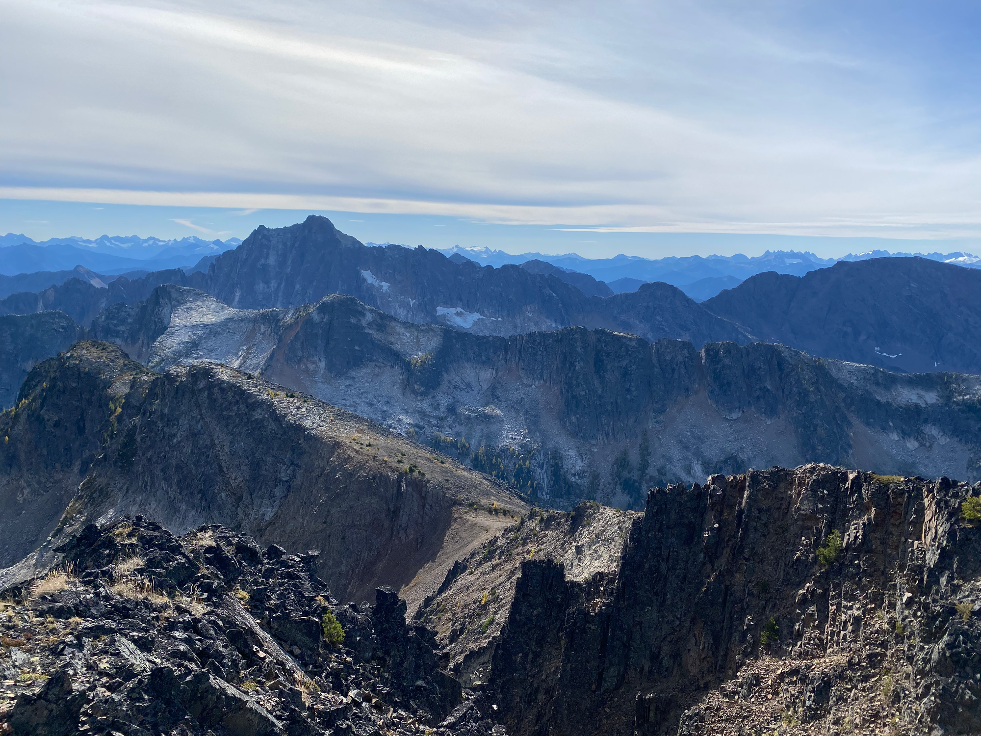
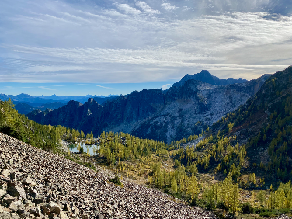
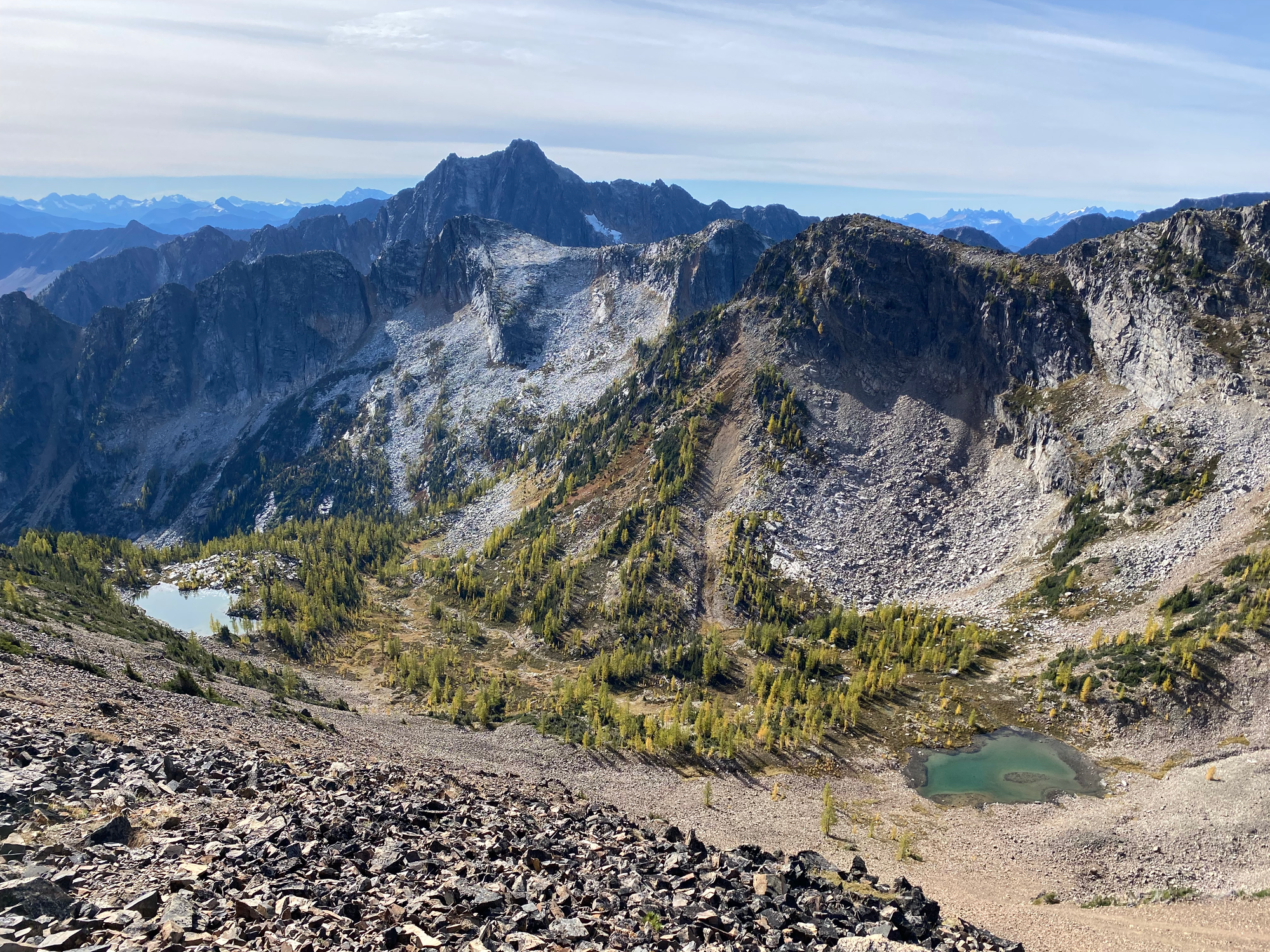
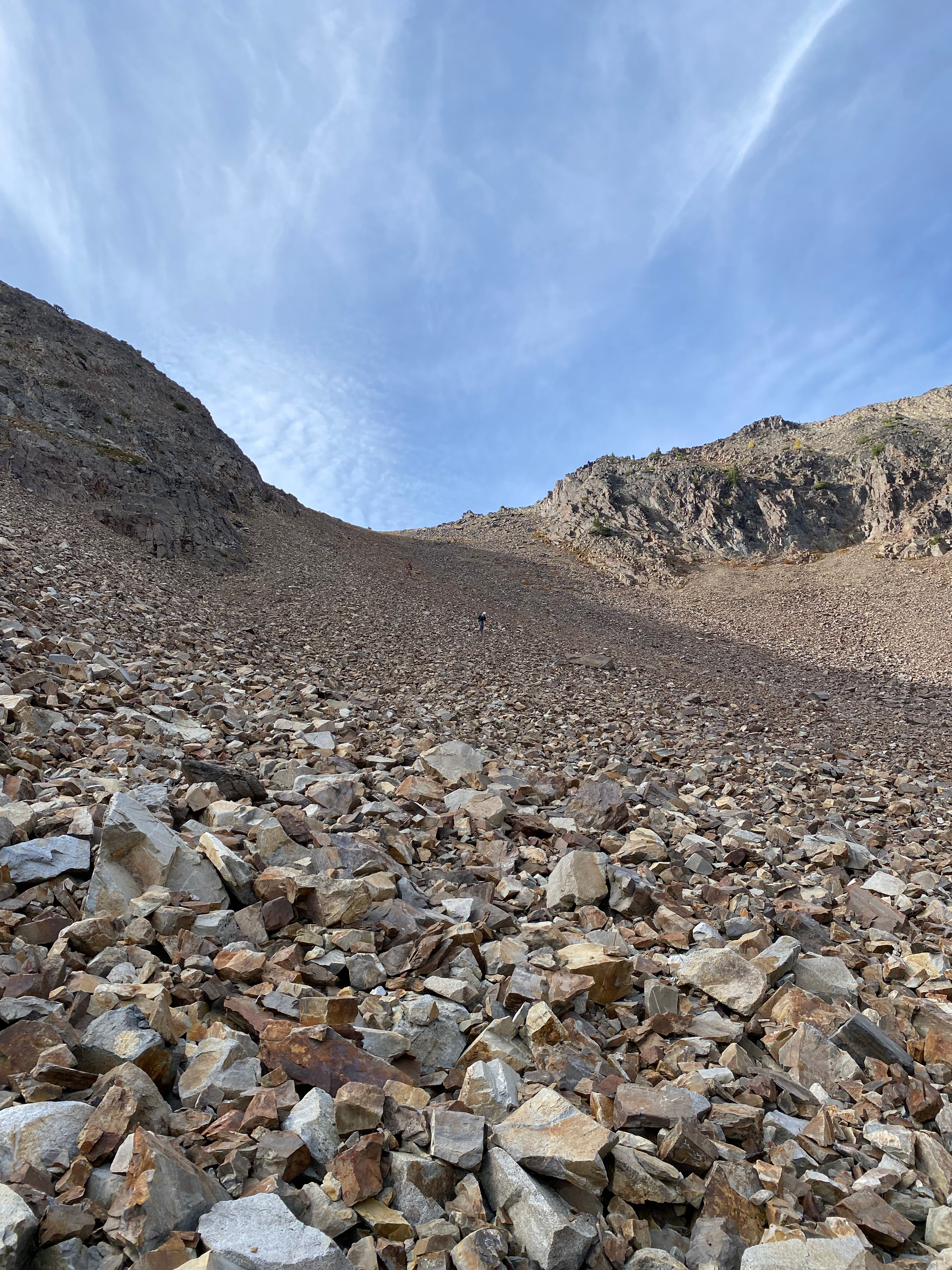
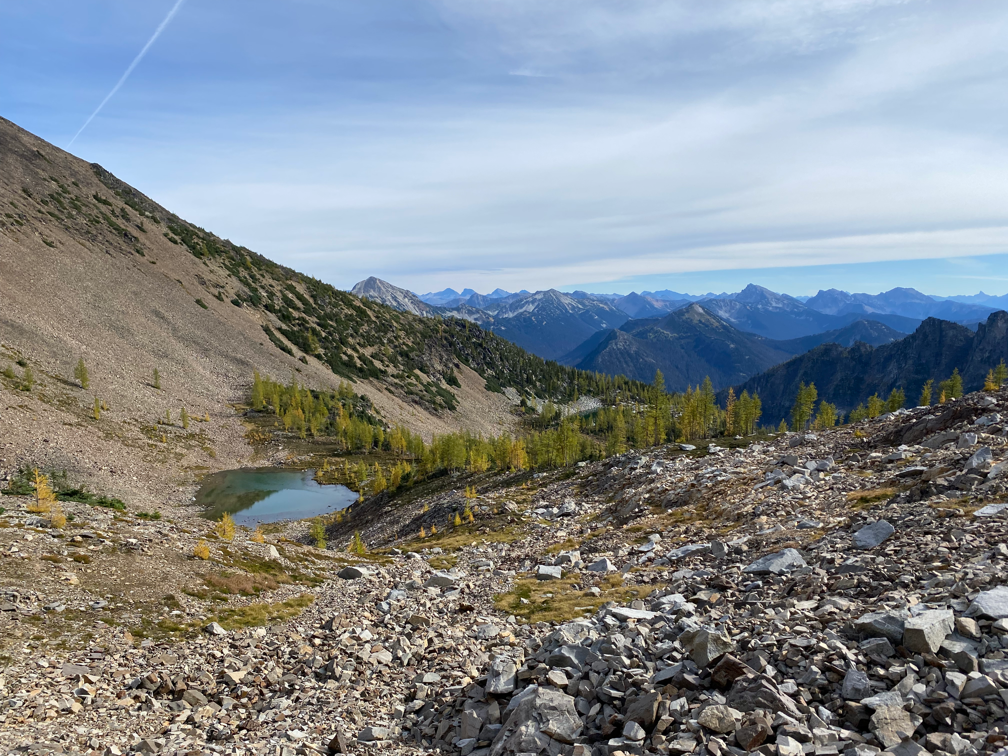
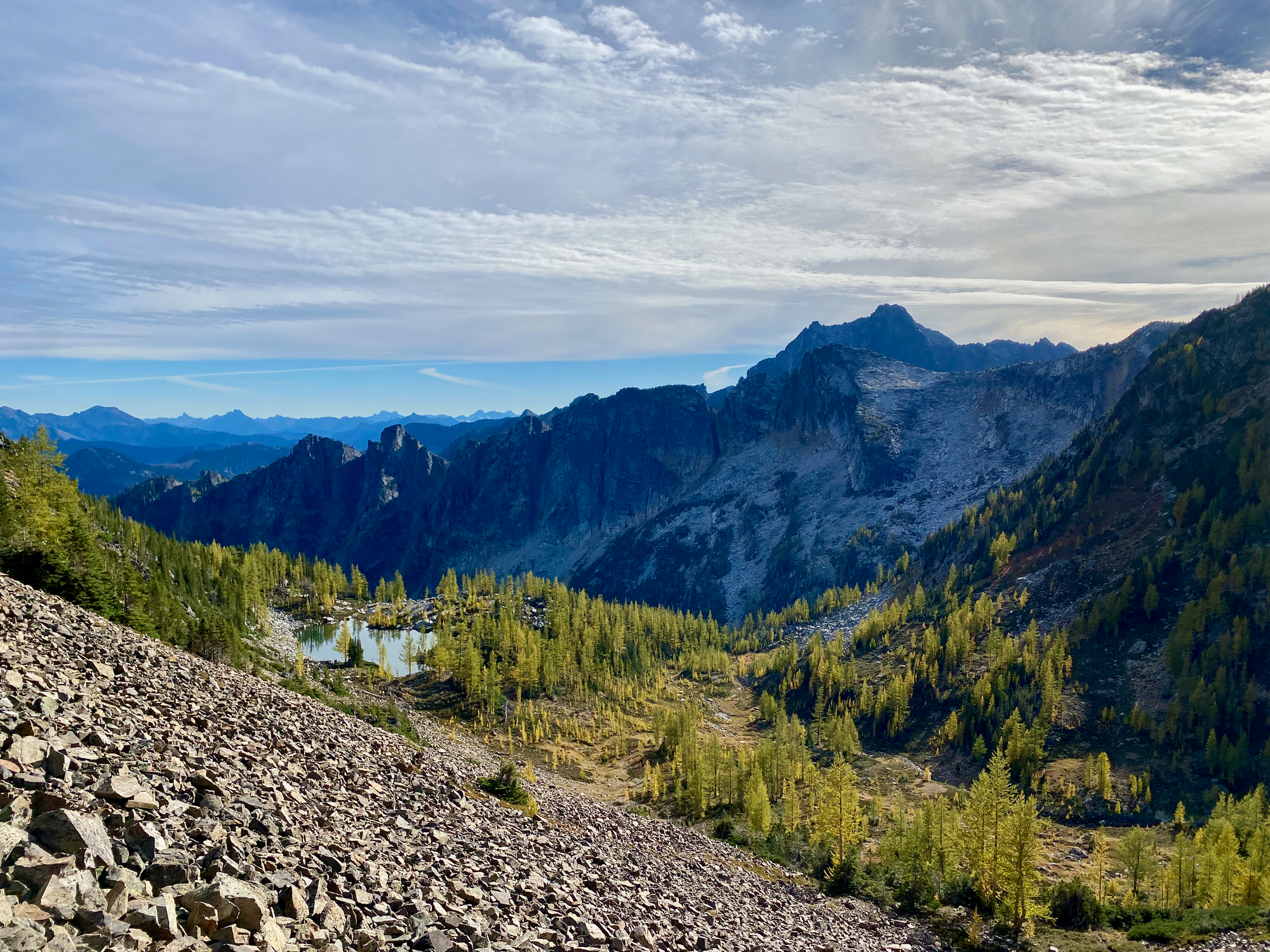
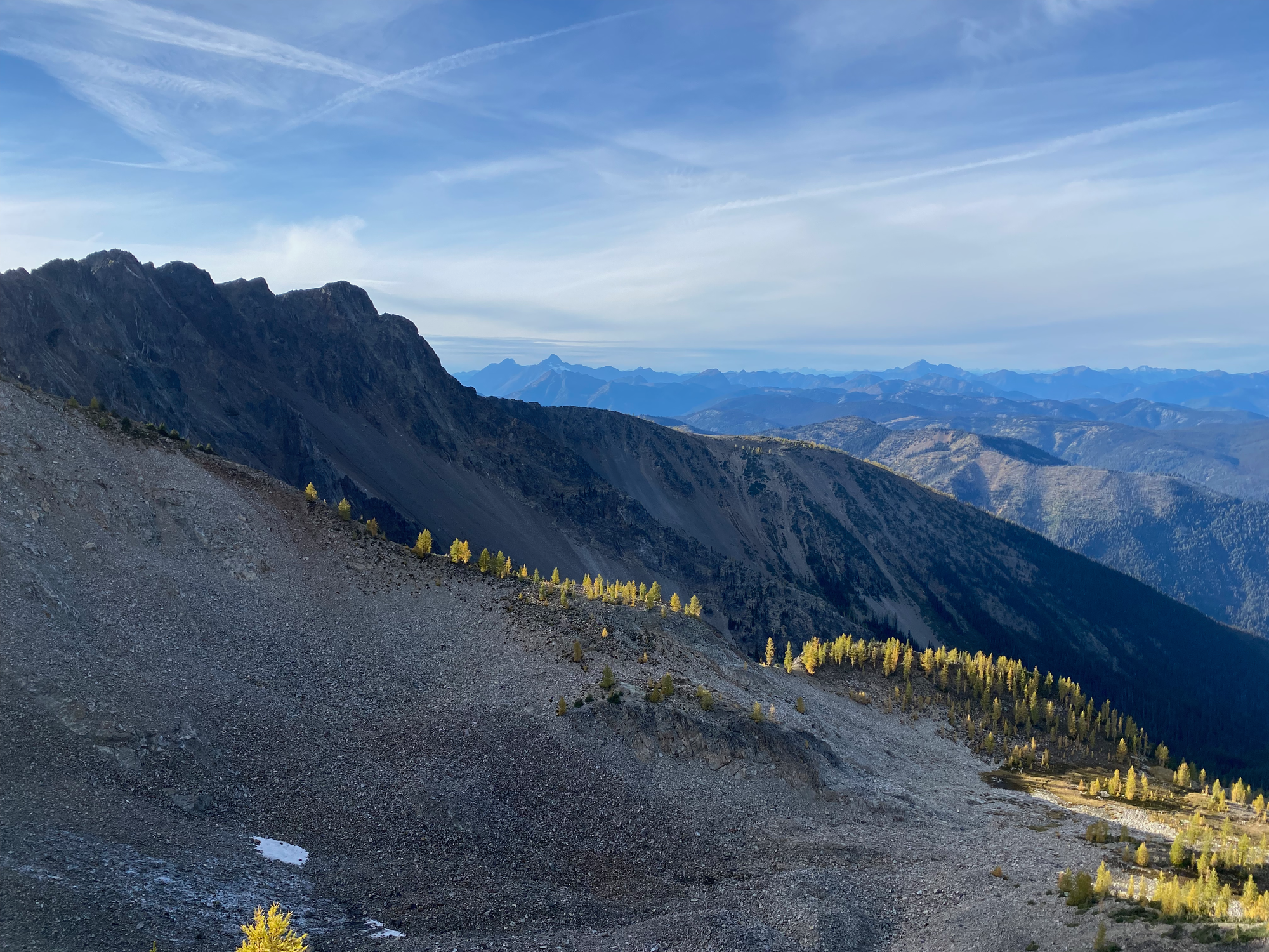
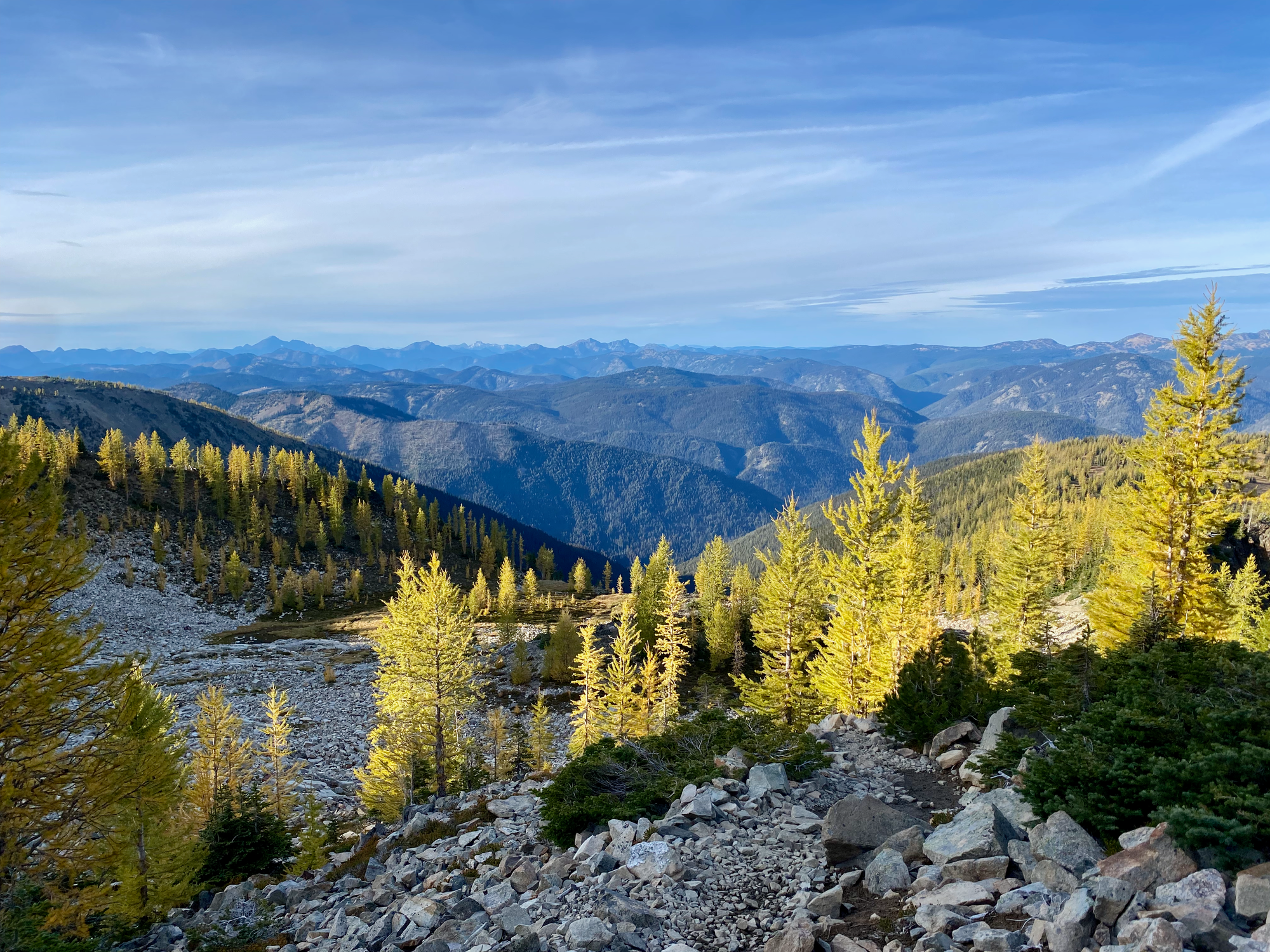
On the way down, we followed a route described on the BC Mountain Man website (https://bcmtnman.wordpress.com/2021/04/25/wherein-i-climb-one-summit-twice-and-another-summit-once/). From the peak, we went south, then east down a wide scree-filled gully. This took us to a beautiful valley between the west and east peaks. More larches, just beginning to turn gold, surrounded two peaceful lakes. In the distance, Castle and “Stonghold” provided a picturesque backdrop. We took a long break in the valley, appreciating the views and staying on rocks as much as possible to avoid damaging the environment.
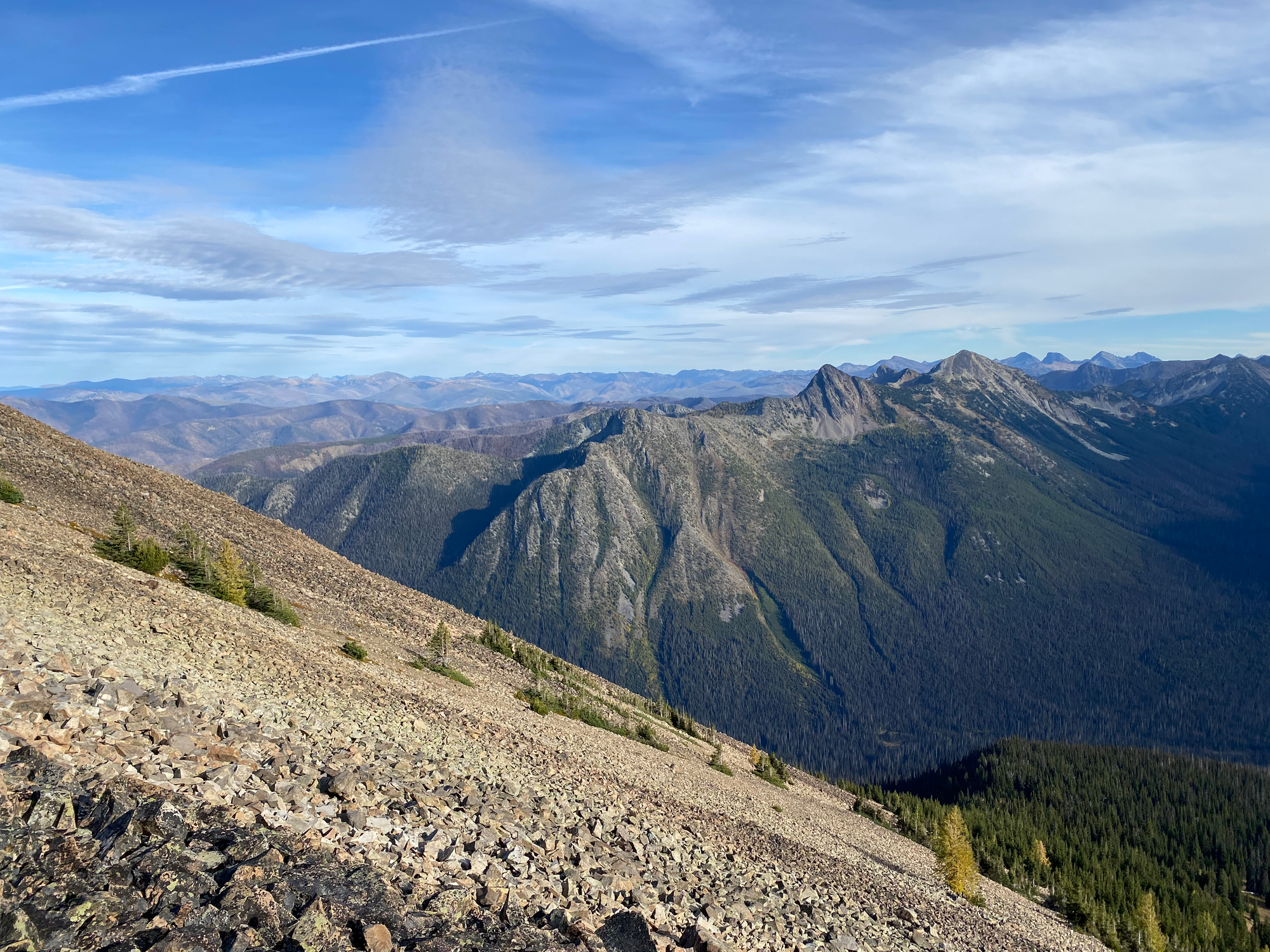
To rejoin the trail, we traversed around the eastern summit’s southern and eastern slopes, climbing over more basketball-sized rocks.
We reached the main trail just before the PCT intersection, decided not to do the detour to Windy Joe (which would add about ten kilometres), passed through the larch plateau one more time, then walked back to the car, arriving at sunset.


Member discussion