Downton Peak
Date: September 20-22, 2025
Distance: 9.95km (round trip from Twin Lakes)
Elevation gain: 627m (round trip from Twin Lakes)
Downton Peak is one of the more obscure peaks on the Downton Creek divide, about 45km northeast of Pemberton. Most parties access this peak from the Downton Creek Road to the north, an approach involving access issues (see https://backroadstatus.com/road/ften-1014782 for the full saga), excessive pinstriping, and a tedious grind up steep scree slopes.
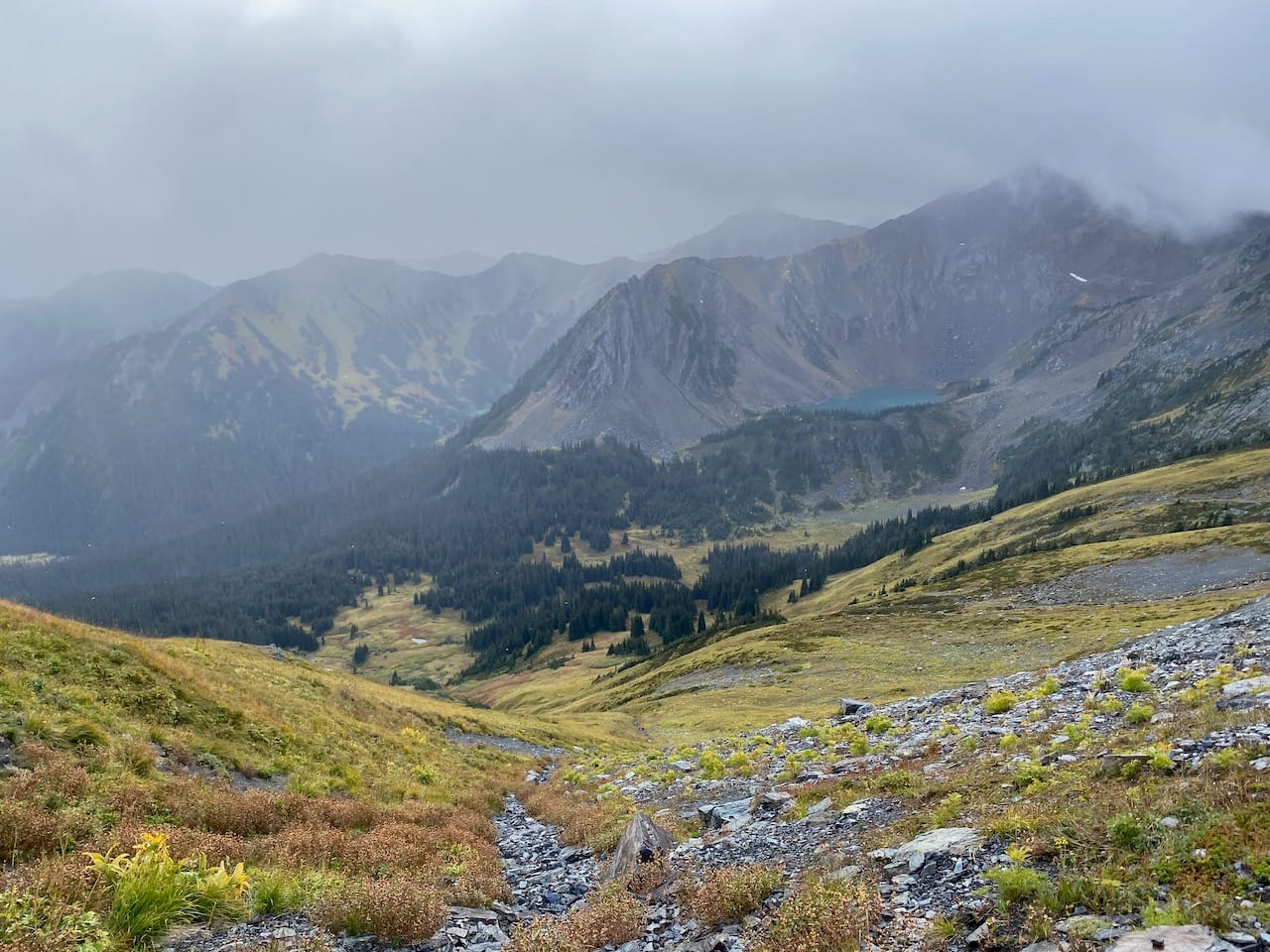
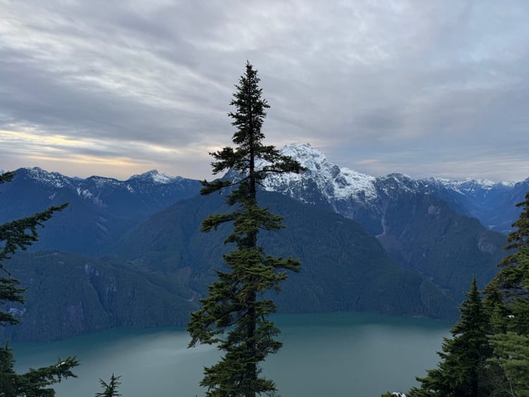
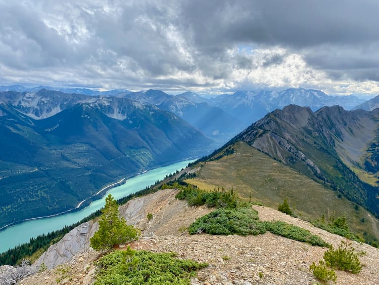
I happened to be in the Twin Lakes area, which is connected to Downton Peak by a ridge. The ridge looked quite jagged, especially on its two northernmost peaks, but there seemed to be a route through the meadows on the eastern side of the ridge that would allow access to Downton Peak. I decided to explore…
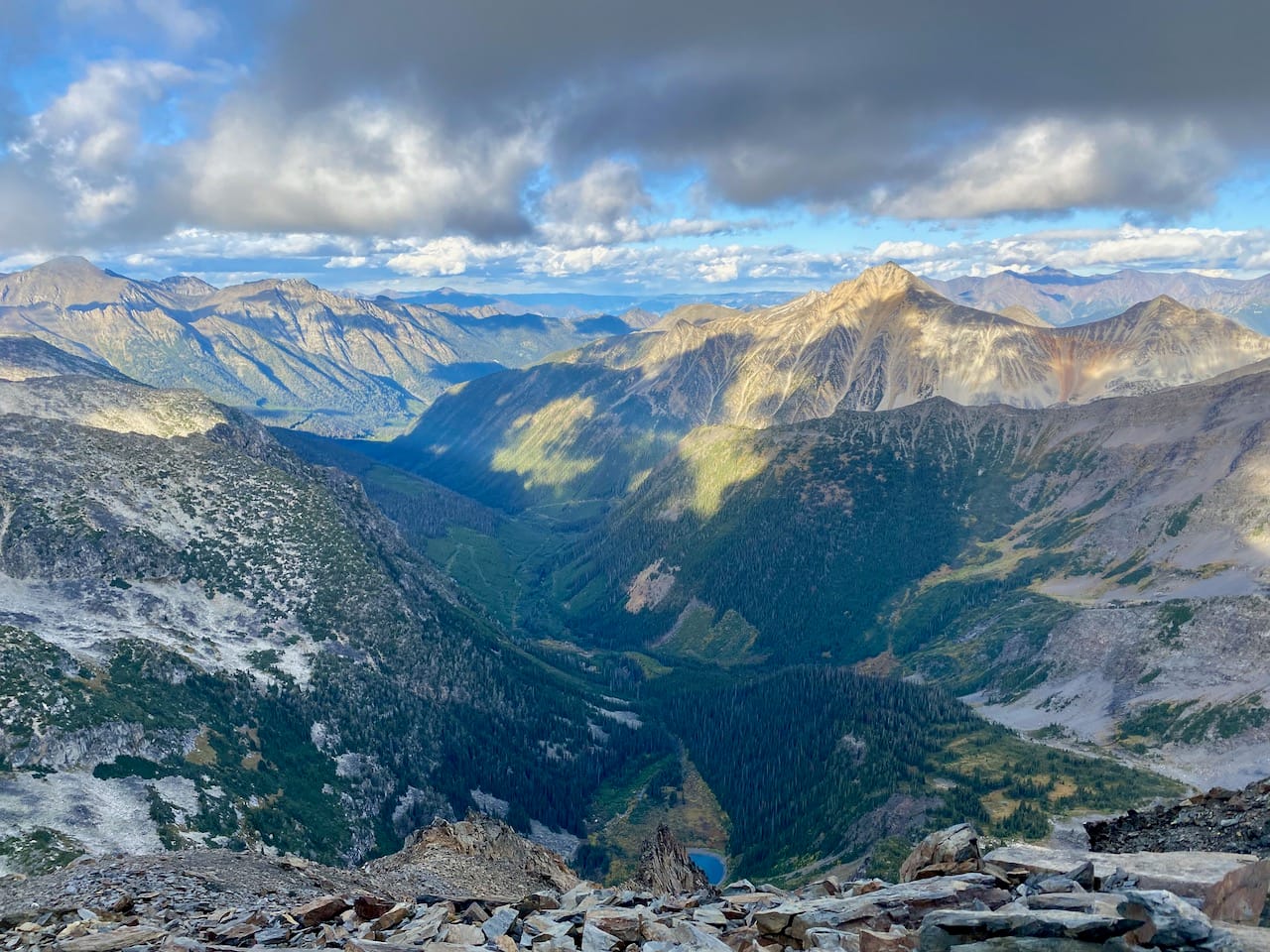
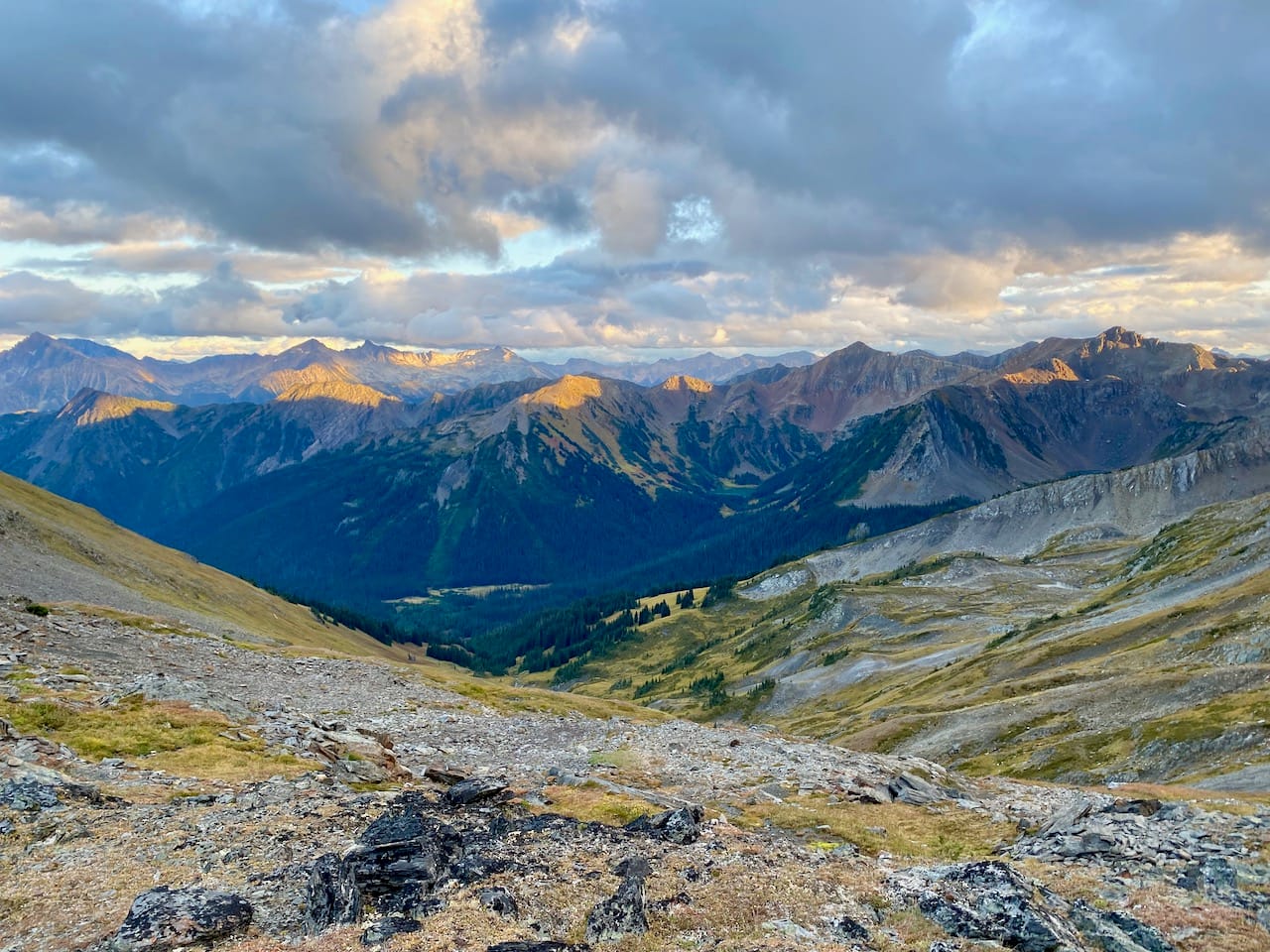
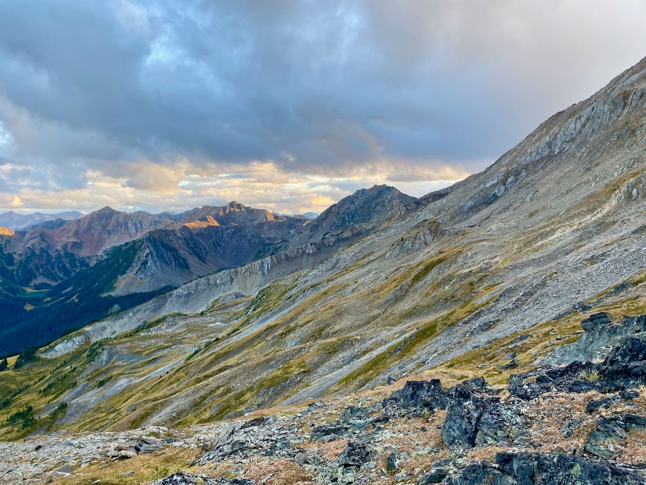
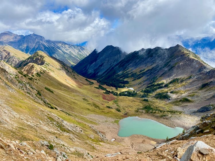
From the upper Twin Lakes, a gap in the surrounding ridges provided easy access to the eastern face of the Crystal-Downton ridge. I continued north along the headwaters of Melvin Creek, traversing a mix of beautiful (but steep) alpine meadows, talus slopes, and gullies. At times I had to gain or lose elevation to bypass cliffs, but I was able to stay in the 2150-2350m range for the entire way.
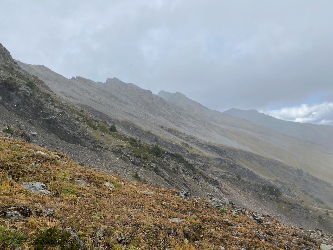
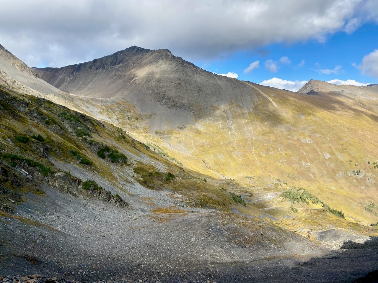
Nothing here exceeded class 2, although parties with two fully functional ankles could take some scrambling lines to avoid elevation gain/loss.The most annoying part was a steep descent down a scree slope a little over halfway along. At various times, there would be short rain showers, and at one point it started snowing.
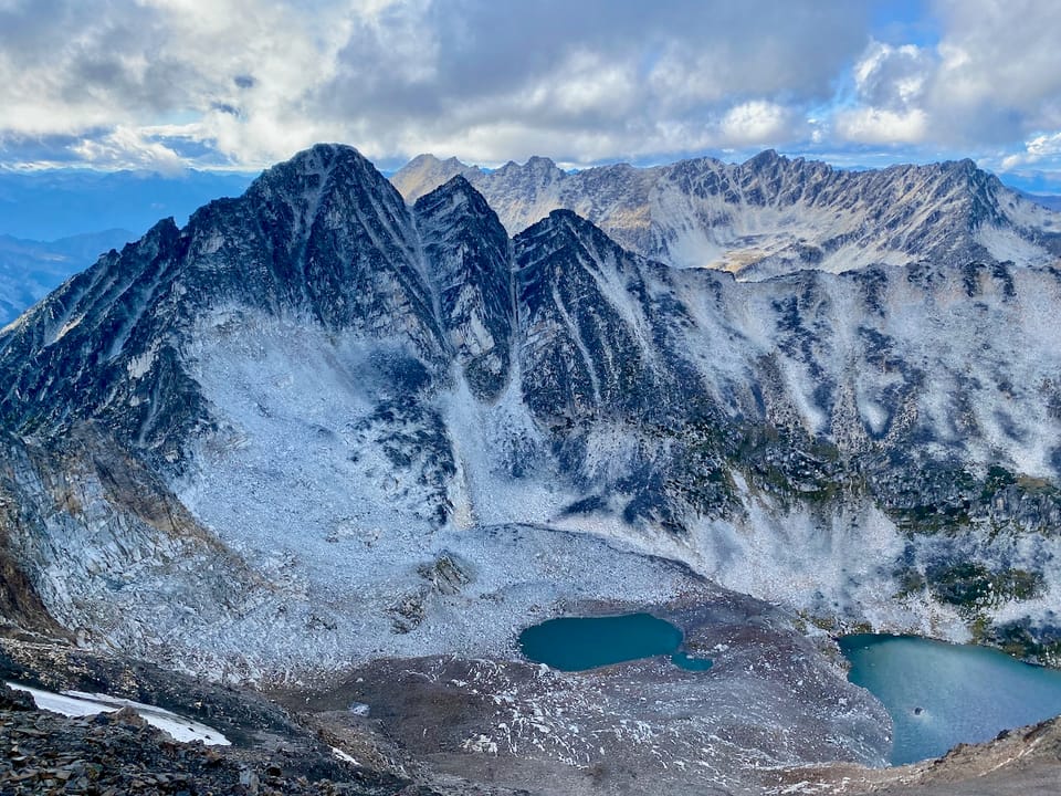
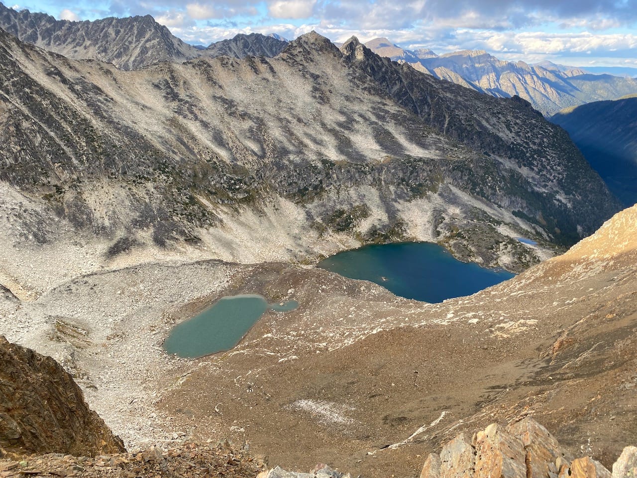
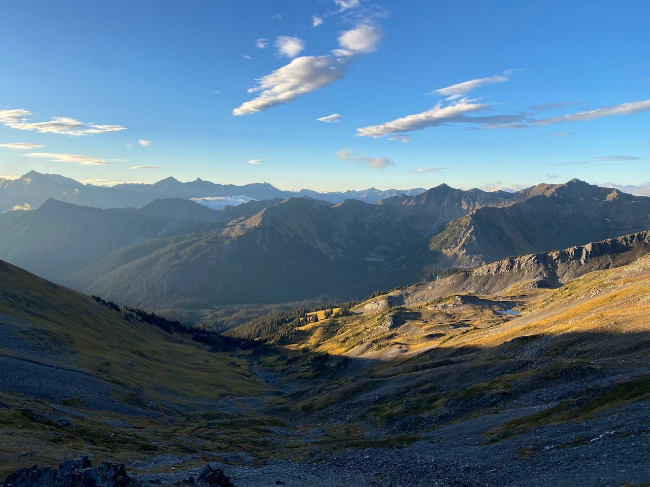
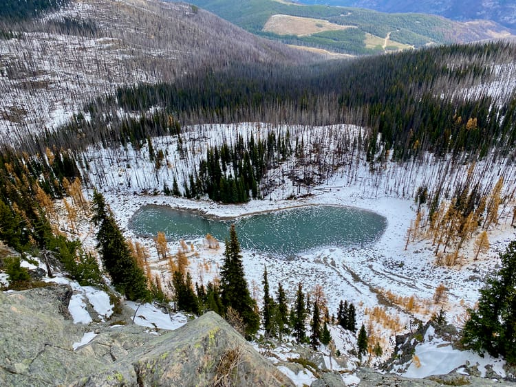
I eventually reached a hanging valley to the south of Mt. Downton.
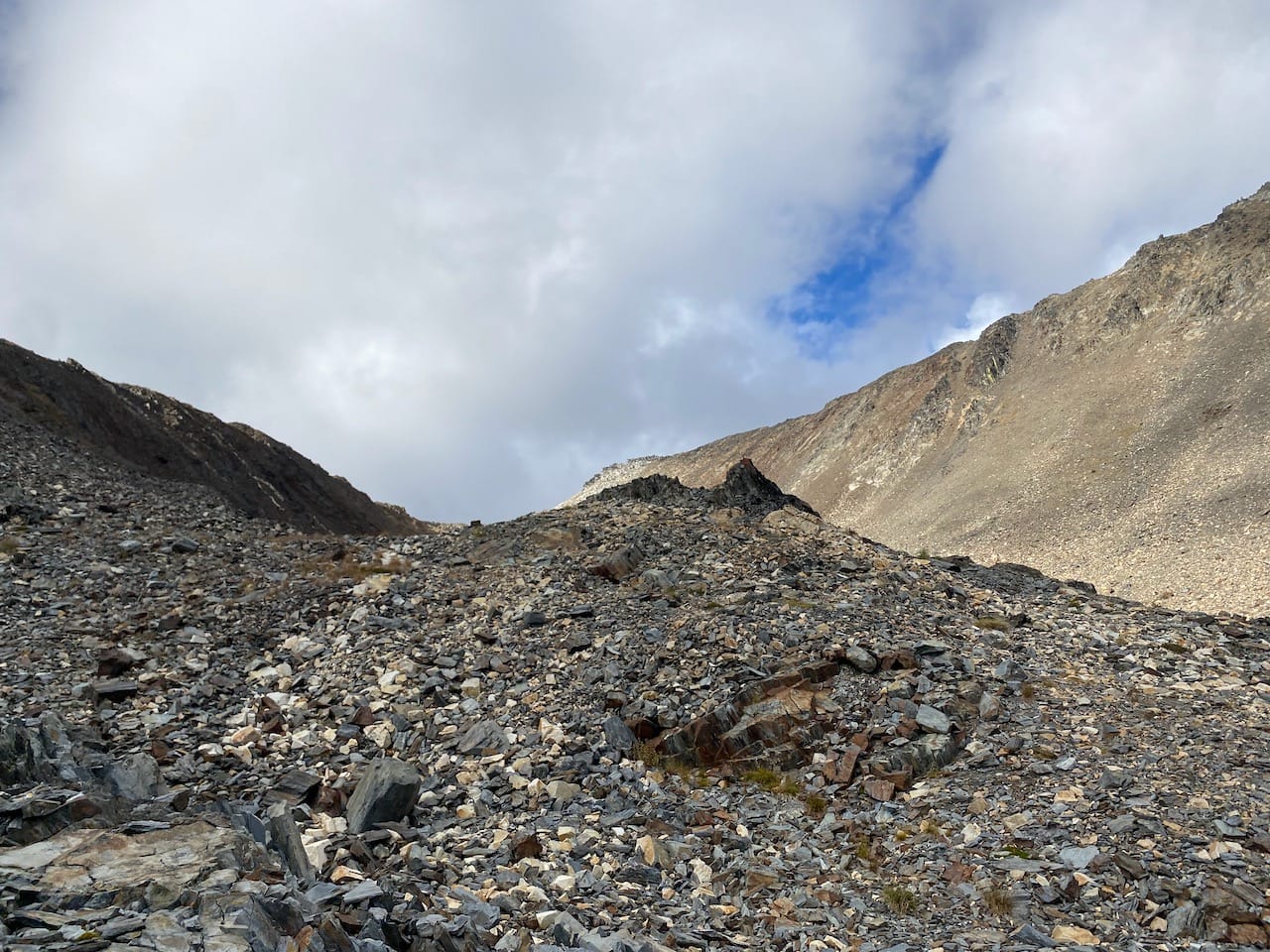
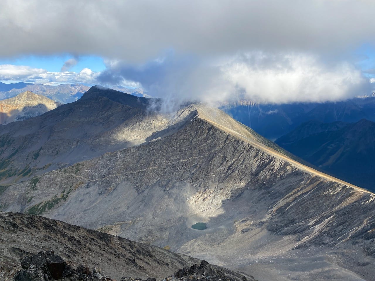
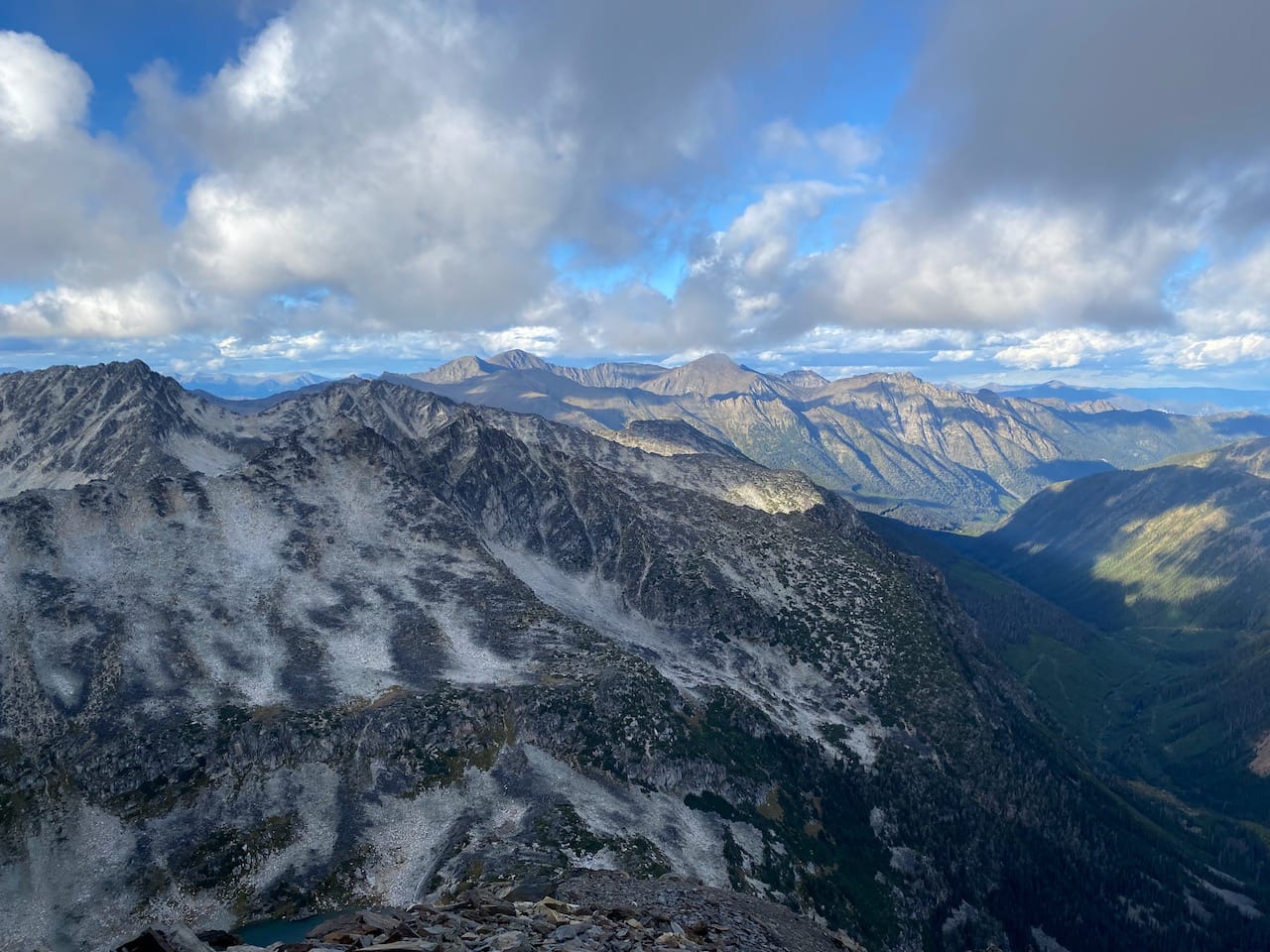
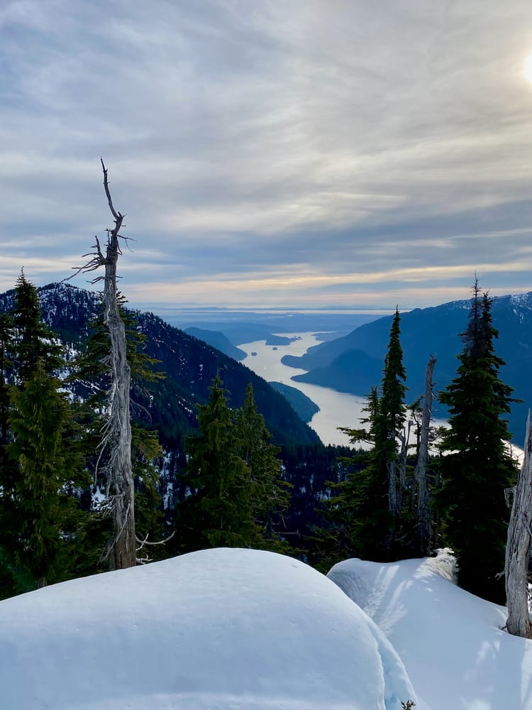
From the valley, it was a straightforward walk on talus slopes to the Downton-Nraiteskel col. This was my third trip to the Downton Creek valley and it was nice to see previously visited destinations (Goat Mountain/Mount Seton and Melvin Peak) from this perspective.
Cliffs separated me from the Downton Creek valley below. I’d considered using this route to get to the valley when the Downton Creek FSR finally becomes inaccessible but this would involve either rappelling or a tedious descent on steep scree slopes, as seen in Steven Song's recent TR.
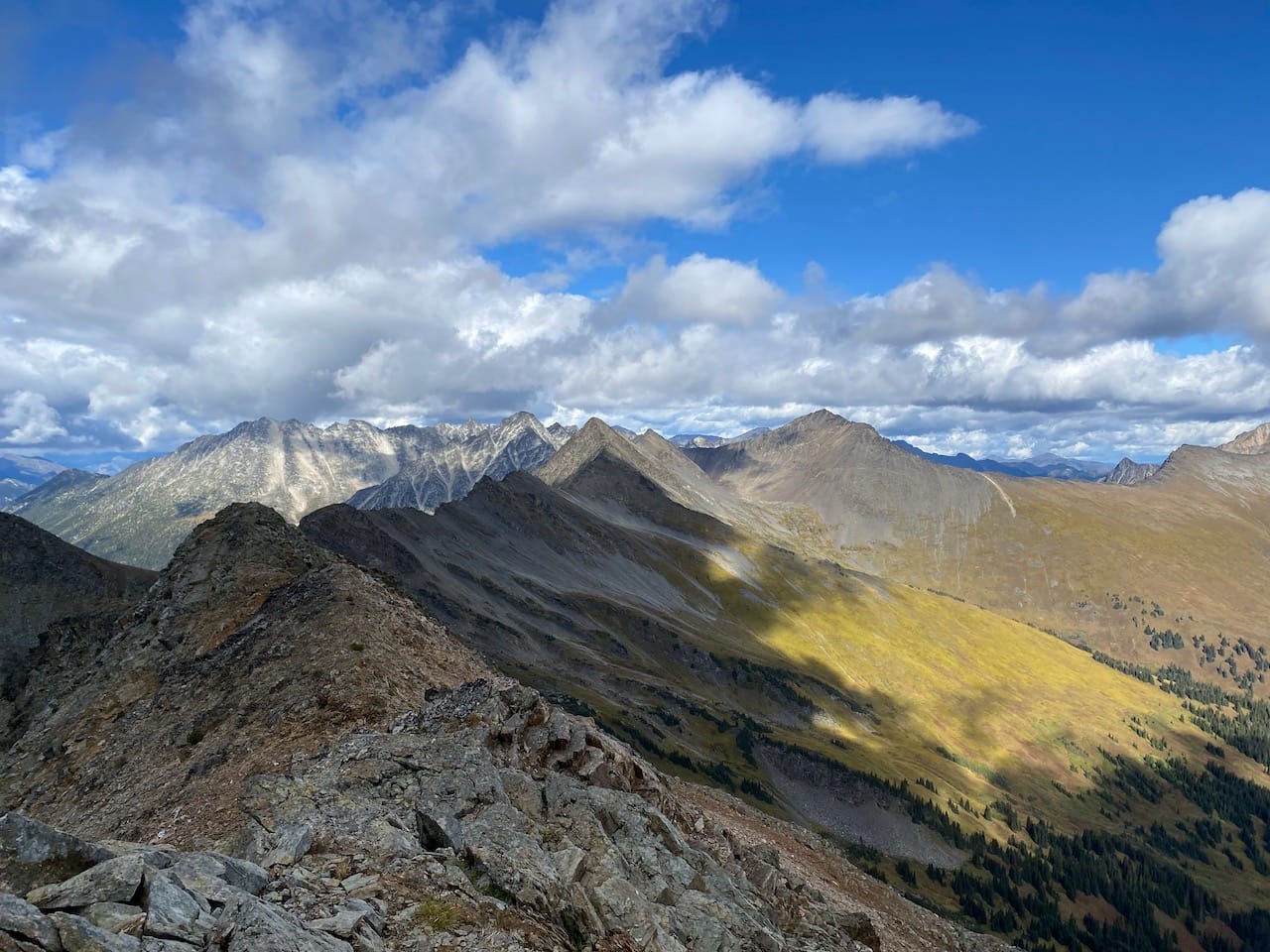
The ridgeline to the summit was straightforward from there. The summit is a wide plateau: I walked around, taking in the views.
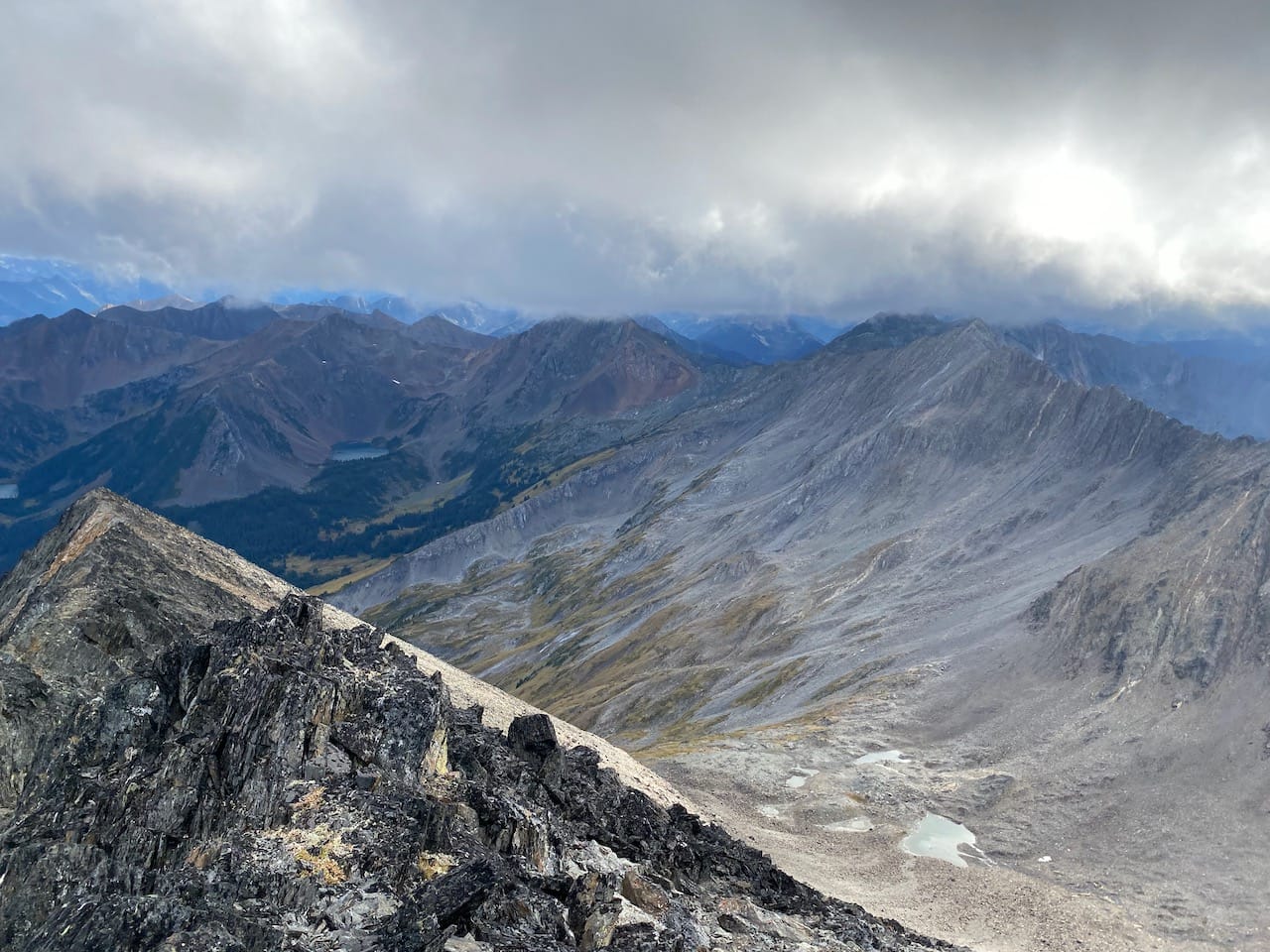
To the west was Mount Nraiteskel, which looked quite fearsome.
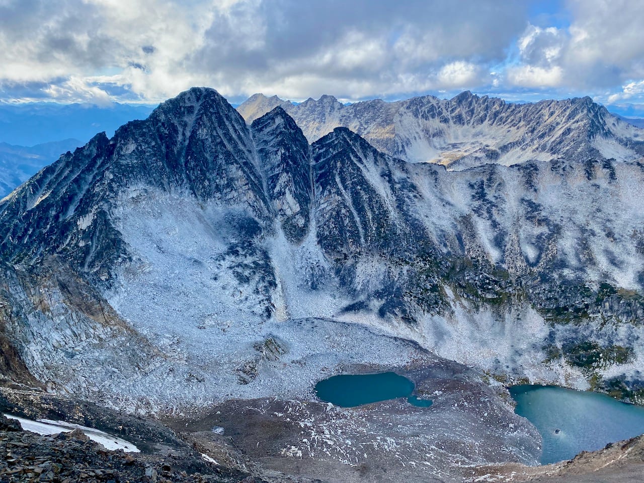
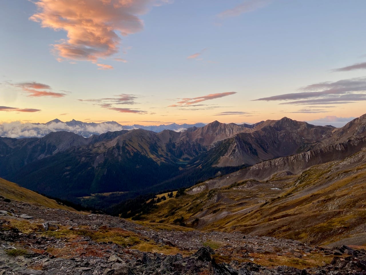
Sunset was approaching and I didn't want to traverse in the dark so I set up camp in the hanging valley.
In the morning I returned to Twin Lakes. I bypassed the steep scree slope by traversing a slightly less steep slope further uphill. Thankfully it didn't snow this time.
Member discussion