Downton Creek Adventure (Mt. Seton/Goat Mountain, Linus Peak, Statimcets Peak)
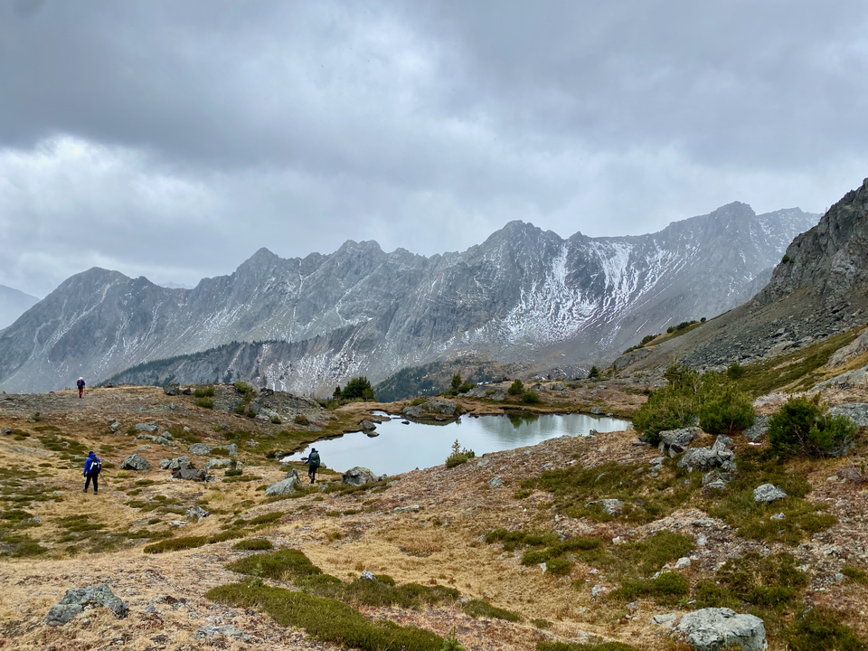
September 23, 2023: Mt. Seton/Goat Mountain
Distance: 13.4 km
Elevation gain: 1469 m
GPS: Link
September 24, 2023: Linus Peak, Statimcets Peak (Peak 8700)
Distance: 15.3 km (including distance from Holly Lake to parking lot)
Elevation gain: 866 m
GPS: Link
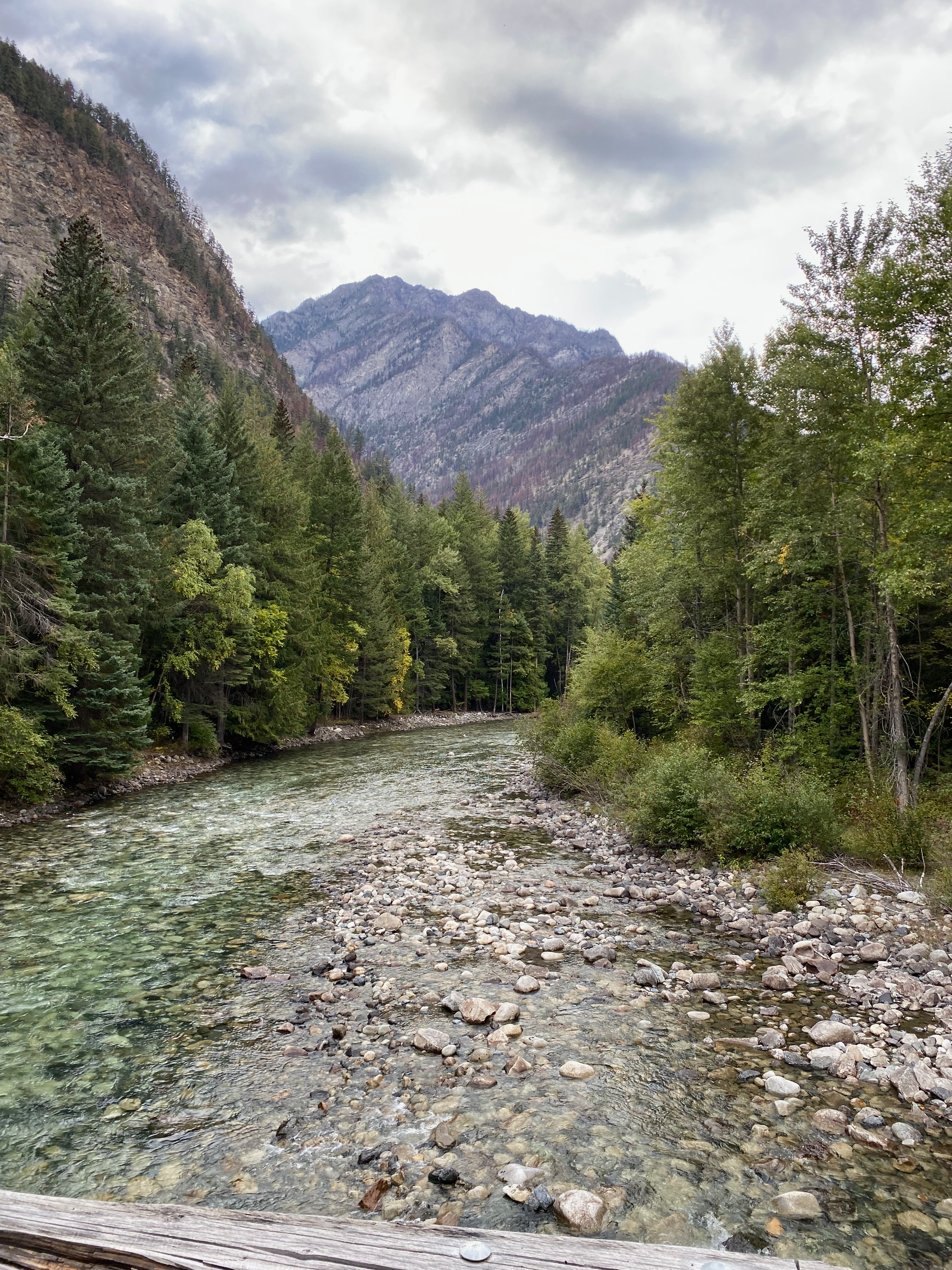
The Downton Creek Valley is about three and a half hours north of Vancouver and about an hour north of Pemberton. The region has received a lot of attention recently. It offers good access to beautiful alpine scenery and all the associated hiking/scrambling opportunities. That won’t last long: the bridge at the start of the forest service road is falling apart and was closed in 2021 for safety reasons. Concrete blocks were placed to keep cars out.
In early 2023, someone moved these blocks, allowing access again and triggering a rush of people wishing to see Downton Creek while it’s still drivable. I decided to join the party, organizing a group from SWBC Peak Baggers.
(Further updates on the road can be found here: https://roadstatus.searchthesummits.com/road/ften-1014782).
Part 1: Mt. Seton/Goat Mountain
Mt. Seton/Goat Mountain is the tallest peak in the Cayoosh Range between Pemberton and Lillooet. Below the peak are the Saddlebag Lakes, three beautiful blue alpine lakes with narrow paths between them. It seemed like a great introduction to this area. (Locals refer to the peak as Goat Mountain, while most Vancouver-based hikers use Mt. Seton, after Seton Lake. Neither is official.)
The infamous bridge over Cayoosh Creek was in decent shape - one of the boards on top was a little bit loose but otherwise it felt very safe. The FSR was in good condition for 4WD, with only a few slightly rocky spots.
I met up with Jacob, Kelly, and Andrew at the Mt. Seton trailhead. The trail starts in a cut block then climbs through a forest for several km. It’s decently flagged but there was quite a bit of deadfall blocking the trail in places. The weather was very cloudy and rain fell off and on throughout the day.
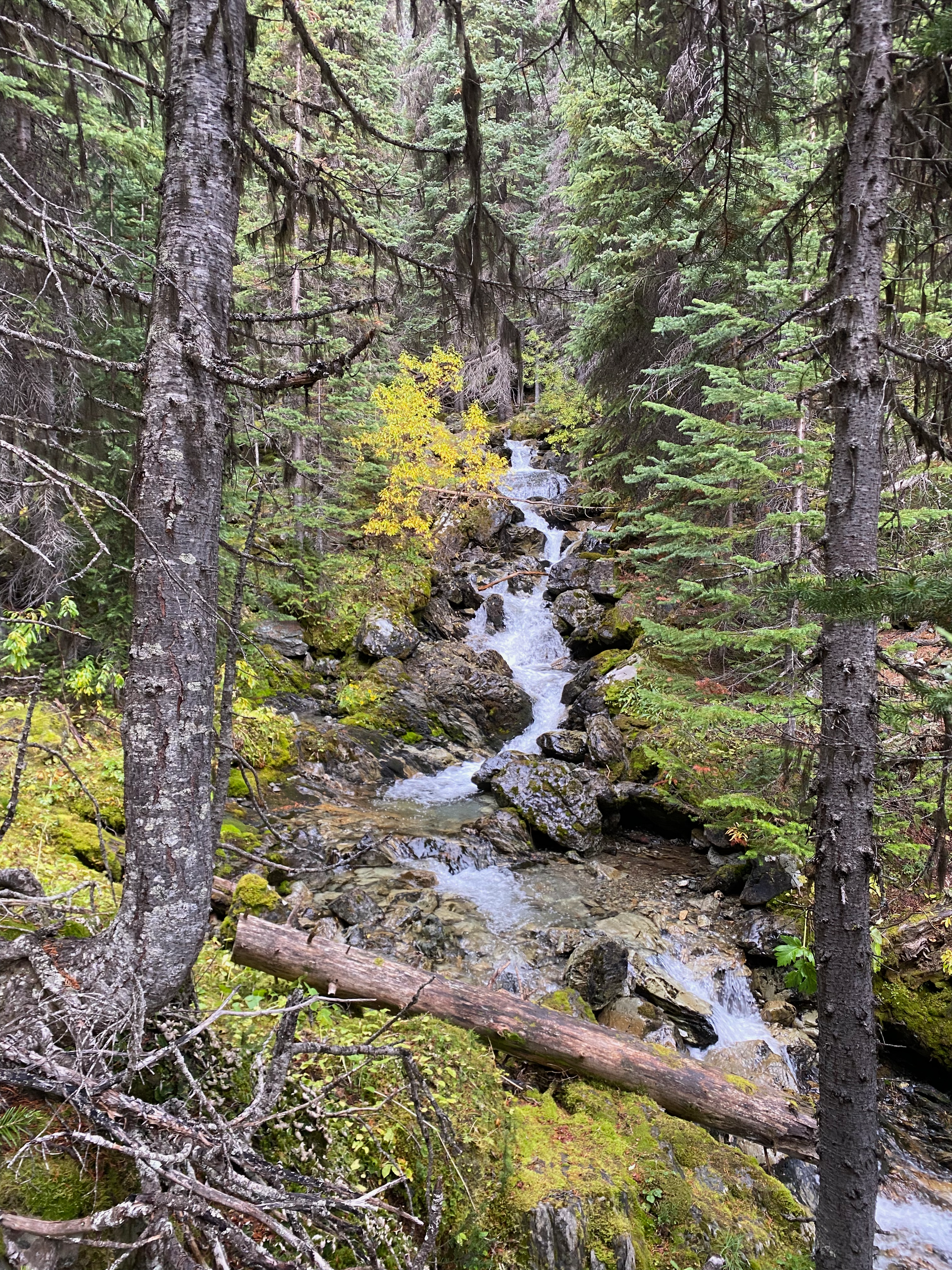
At about 2000m the forest opens up into a meadow surrounded by cliff bands, giving us our first views of the surrounding mountains, which looked like a scene from Lord of the Rings. The mountains and forests here are much drier than the coastal forests I’m used to, making an interesting contrast.
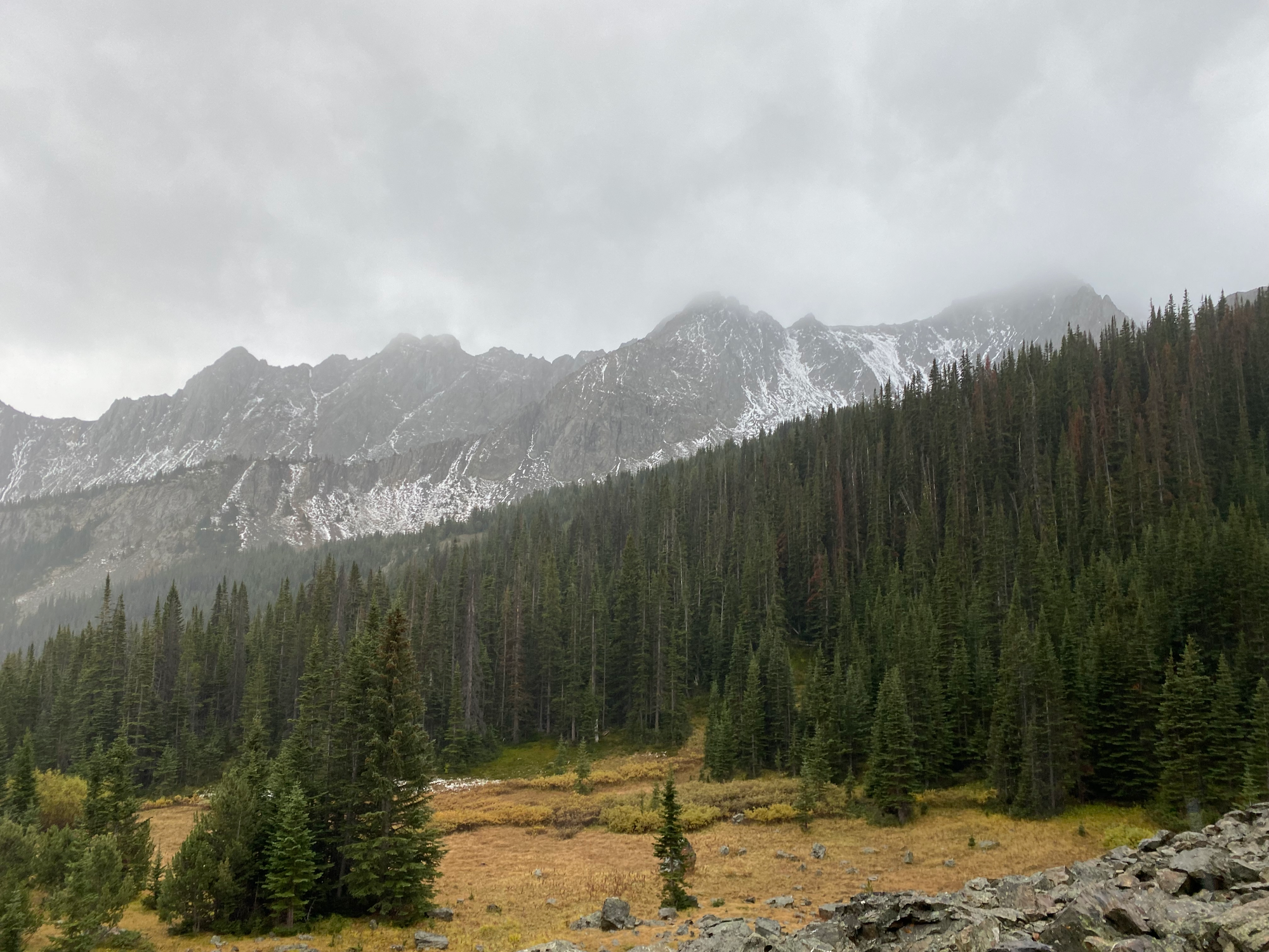
From the meadow, we climbed up a scree-filled gully, then hiked a little further along another alpine meadow to Saddlebag Lakes. By then it was snowing pretty hard so we layered up for the final climb.
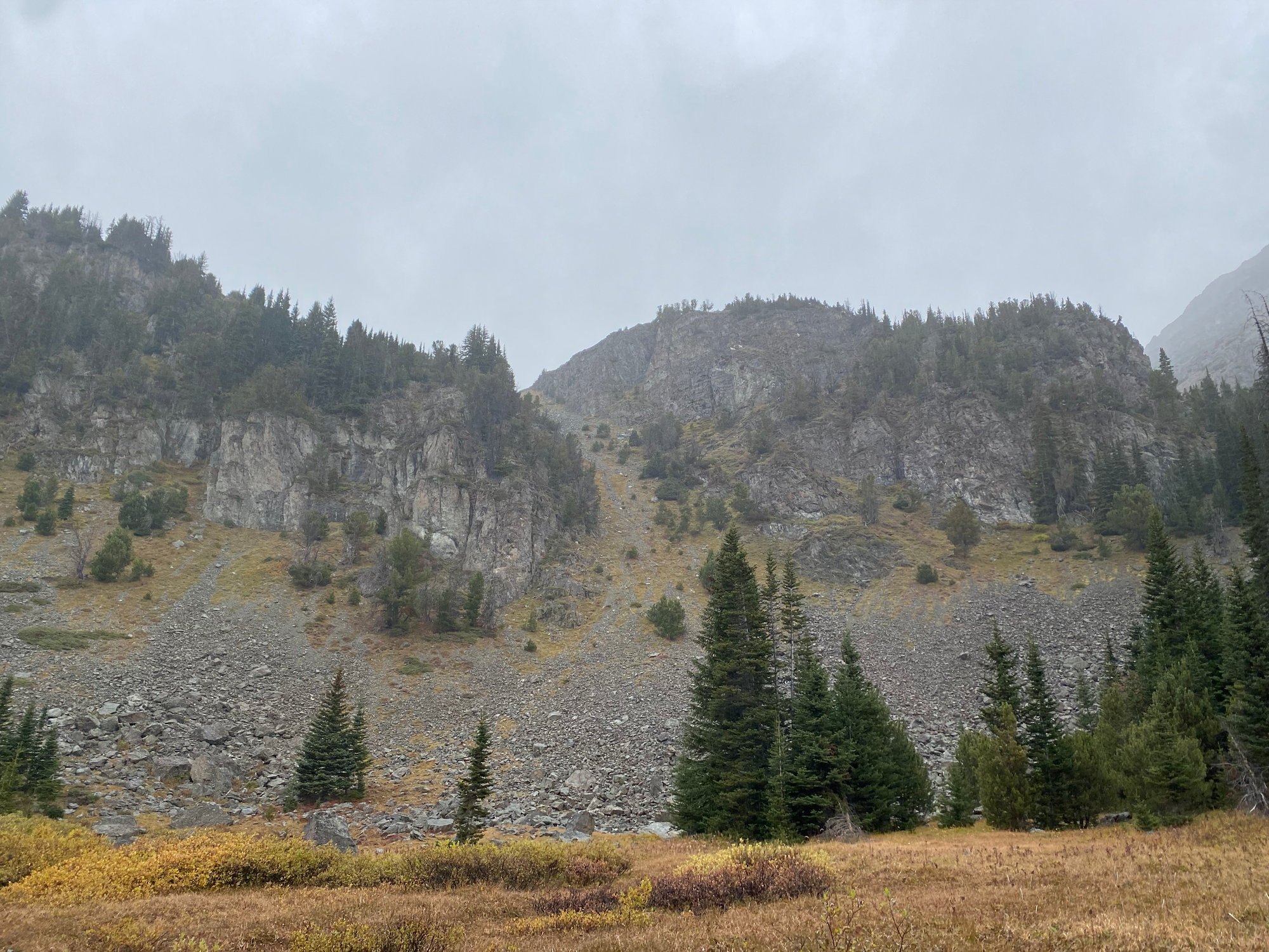
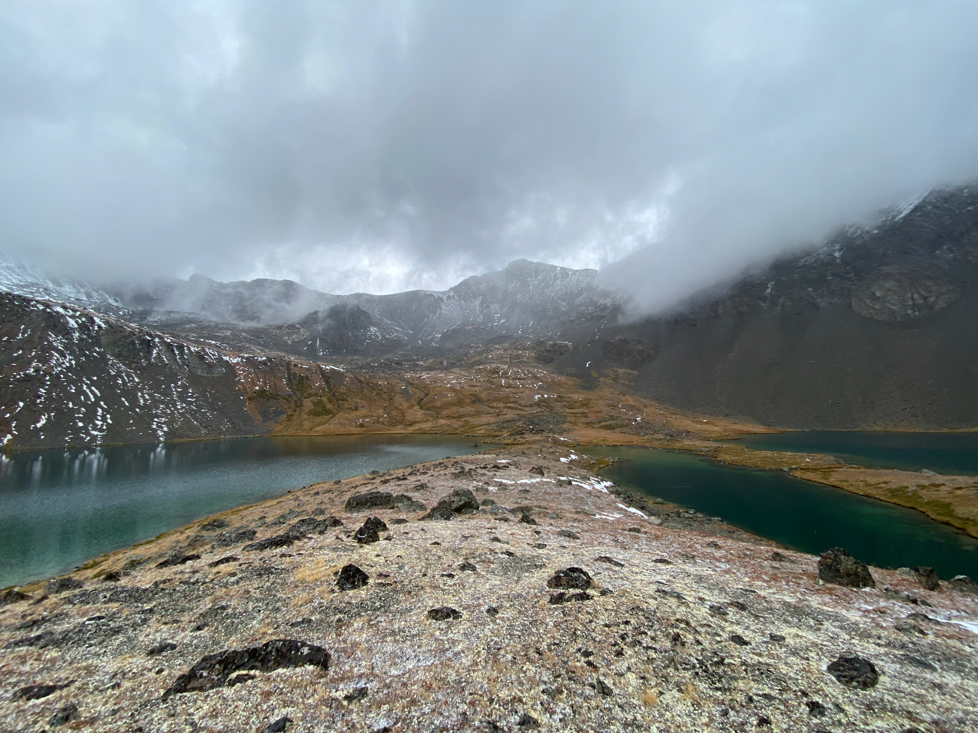
As mentioned in other TRs, the ascent looks quite steep from the lakes but wasn’t too bad once we got there. The route goes up a grassy ramp then follows a gully to the saddle to the west of Seton. We stayed slightly east of the creek. As we ascended, the snow fell harder.
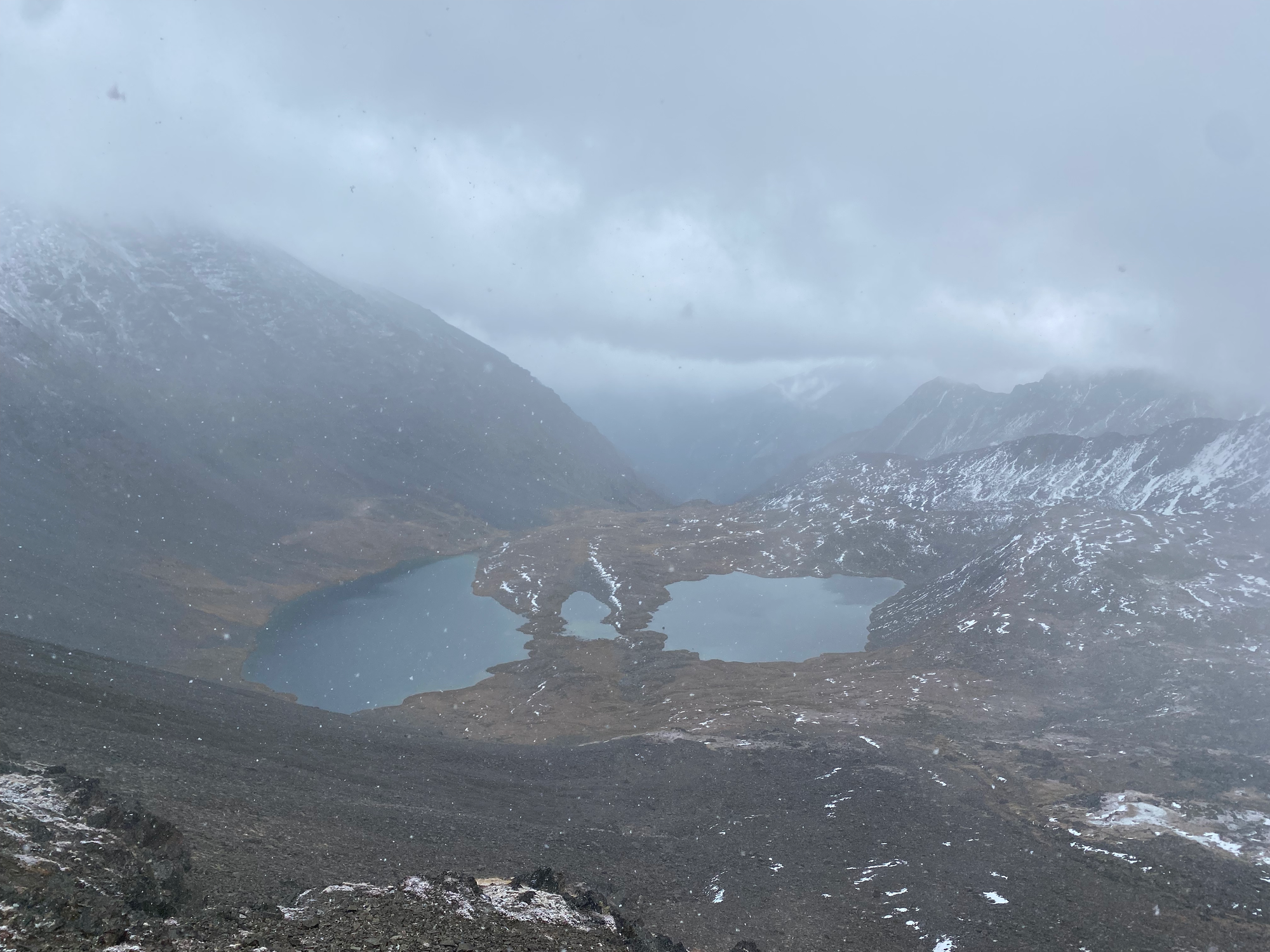
Past the saddle, a straightforward ridge walk led to the summit. We took a quick photo then dropped down to a flat area to escape the wind.
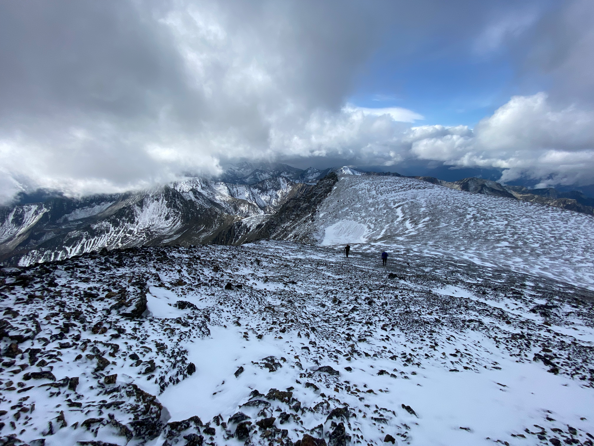
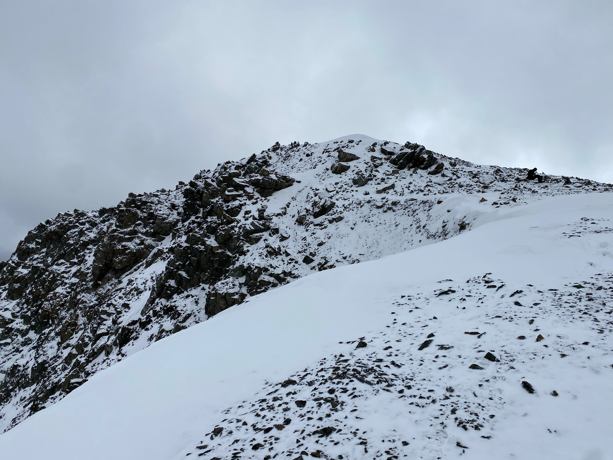
Jacob cooked some pasta for lunch while the rest of us explored the summit plateau. An interesting fire repeater is northeast of the summit. Every few minutes the clouds would clear and we’d see some more of what must be an incredible 360º view in sunny conditions.
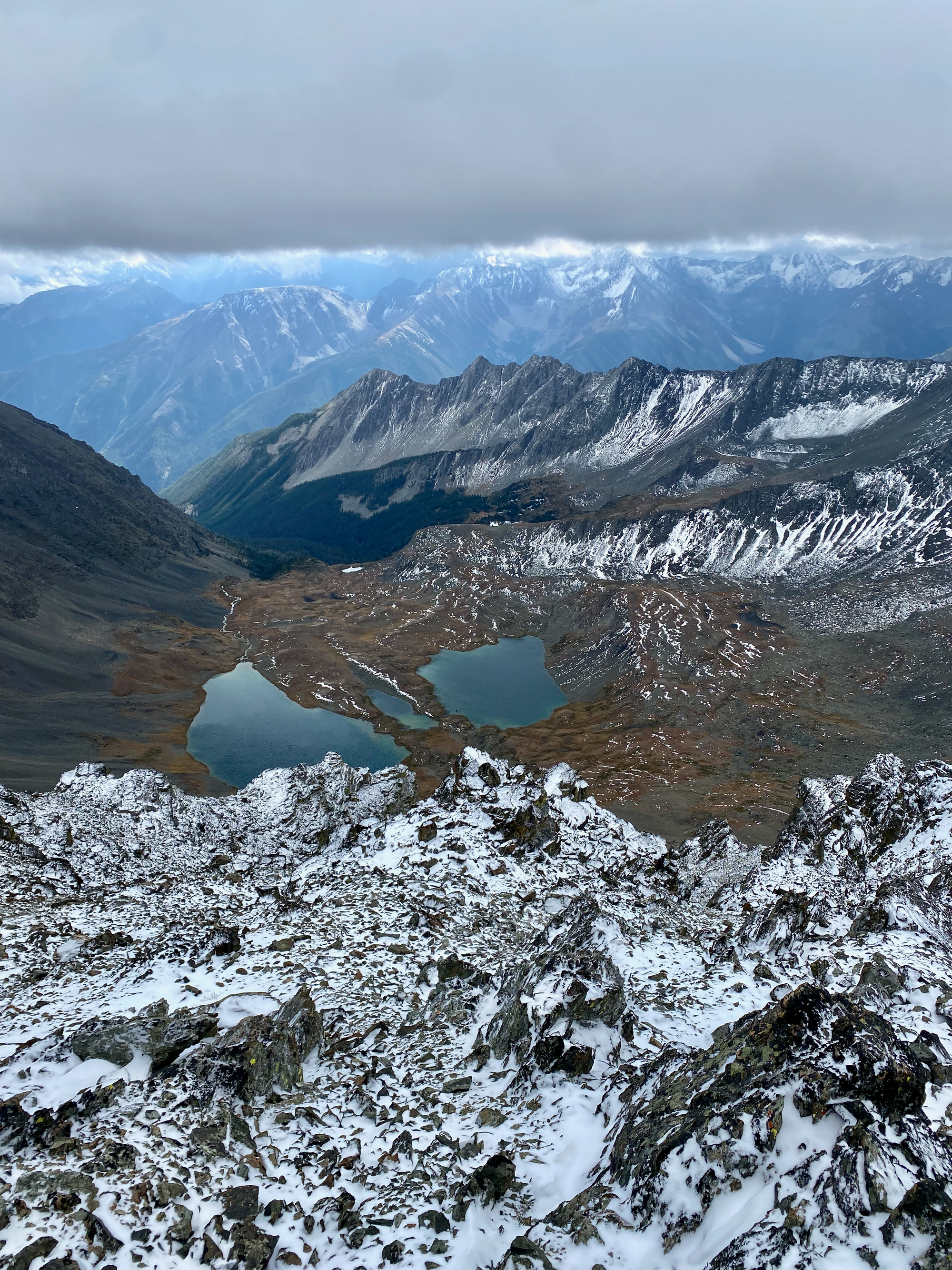
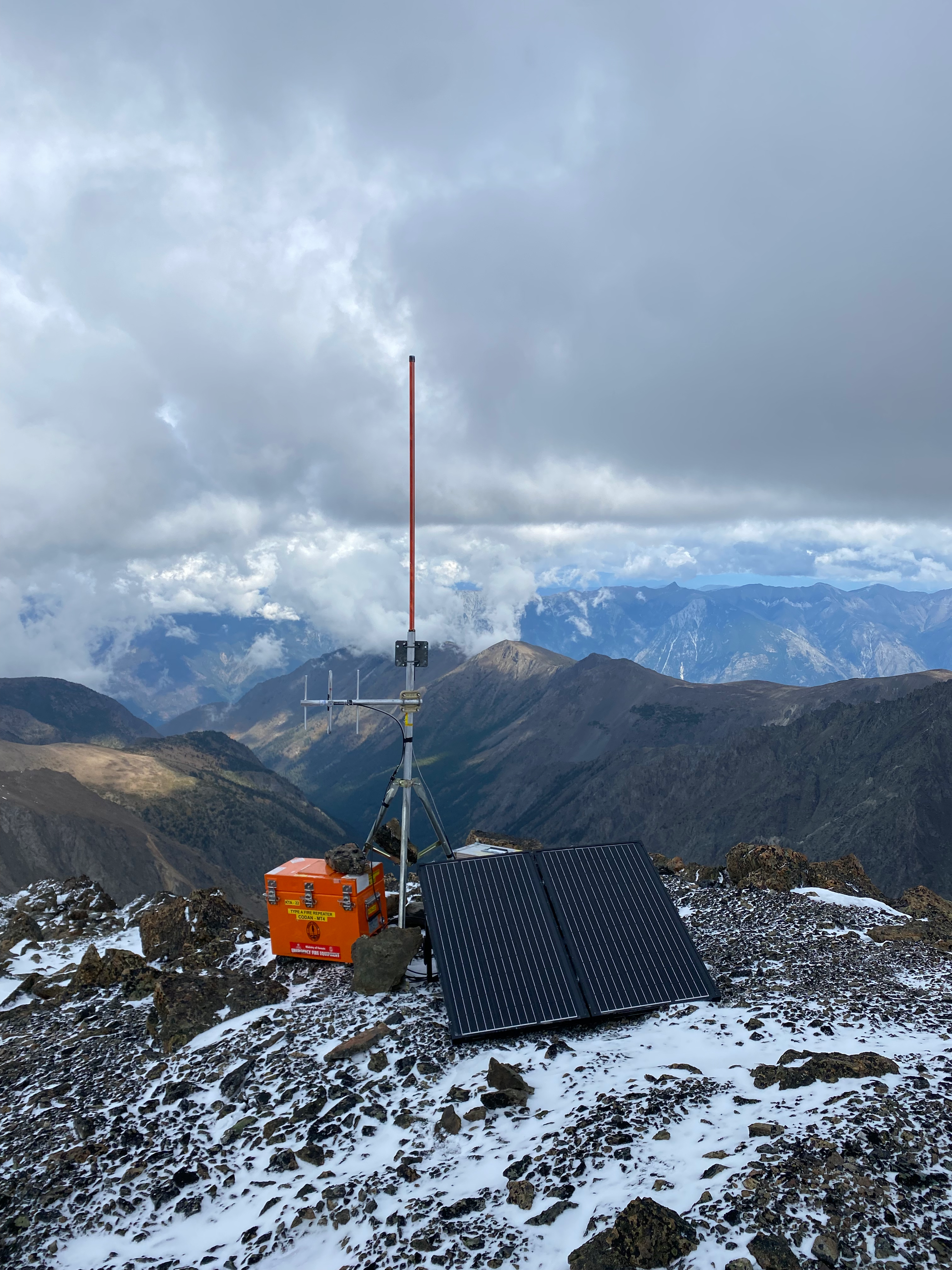
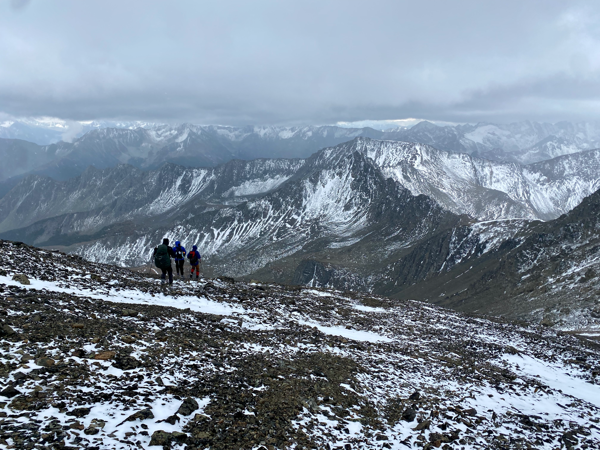
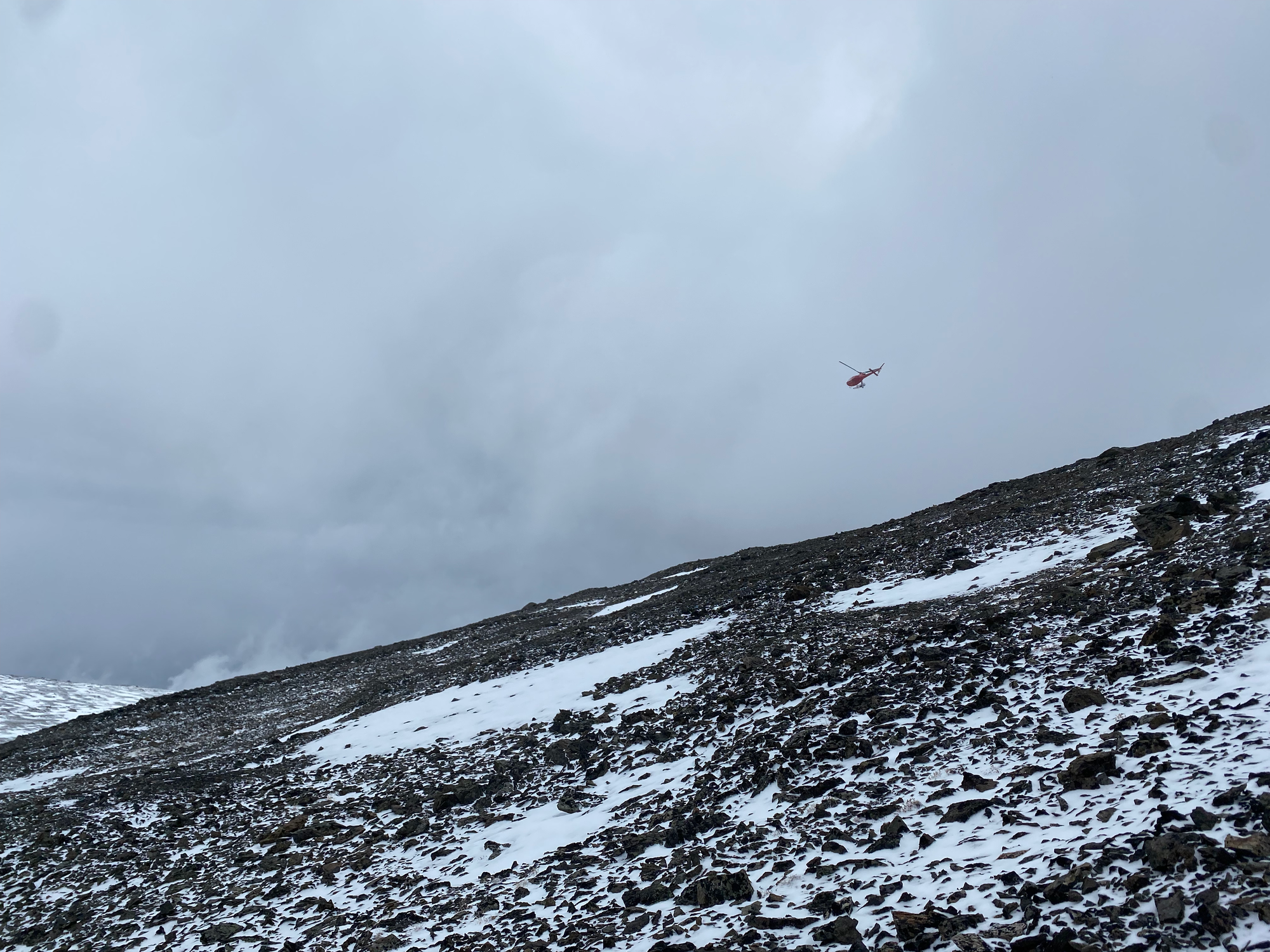
We descended pretty quickly, surfing down scree to the lakes and down the meadow gully. Above us, a mysterious red helicopter kept circling the peak.
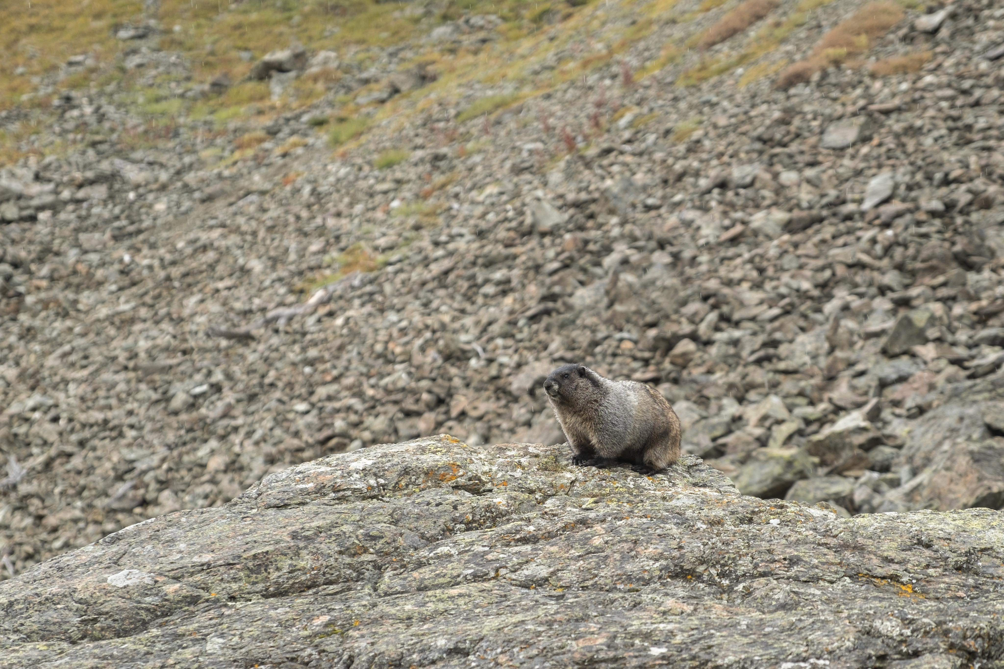
As we descended the scree gully, we interrupted a very fat marmot, who did not approve.
At the trailhead, Kelly and Andrew went back to civilization and Jacob and I drove a little further up the road and camped at Holly Lake. Branch 2, needed to access the Holly Lake area, was a bit worse but still doable in a Subaru Forester. At the parking area, we met two hunters, the only other people we’d see all weekend. The trail to Holly Lake (3km one way) was much better-defined than the Mt. Seton trail, and clearly sees a lot of activity.
Part 2: Statimcets/Linus
Linus Peak and Statimcets Peak are two of the many jagged peaks guarding the upper Downton Creek valley. Statimcets Peak is referred to as “Downton Creek Peak 8700” in Scrambles in Southwest British Columbia by Matt Gunn (“Statimcets” and “Linus” are unofficial names given by bivouac.com. Statimcets is the language of the Stʼatʼimc people, while the rest of the names inconsistently alternate between Peanuts (Linus, Schroeder), singing voices (Contralto, Soprano), and sitcoms (Fawlty Tower)).
The valley went from summer to winter overnight. We woke up to several inches of snow and beautiful weather. All around us we saw the snaggletooth ridges of Soprano, Contralto, Linus, Statimcets, and many more peaks. I hope I can explore this area again before the bridge falls apart.
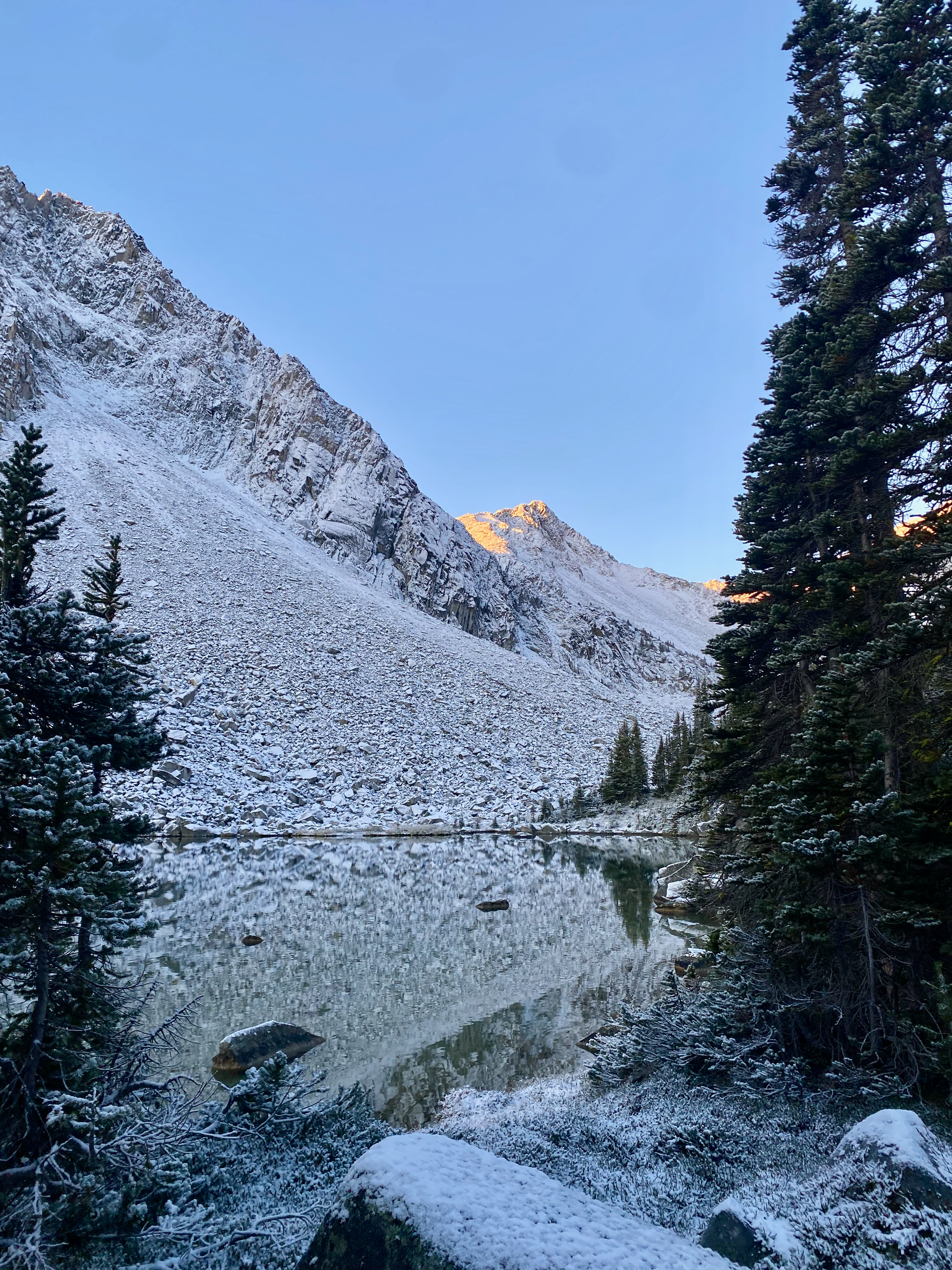
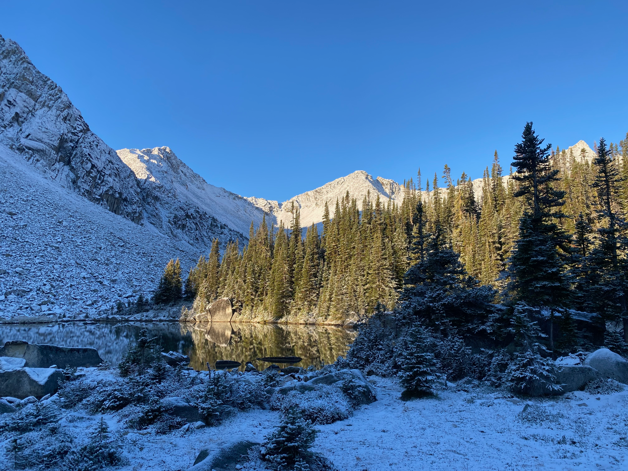
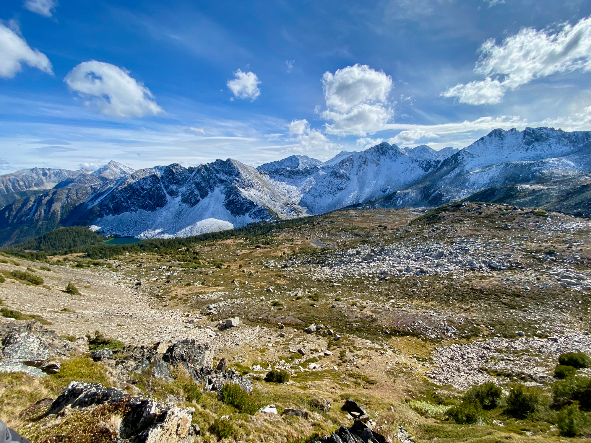
We followed the Holly Lake trail further west, but it faded away pretty quickly. We then bushwhacked through the snow into the alpine. The views were incredible!
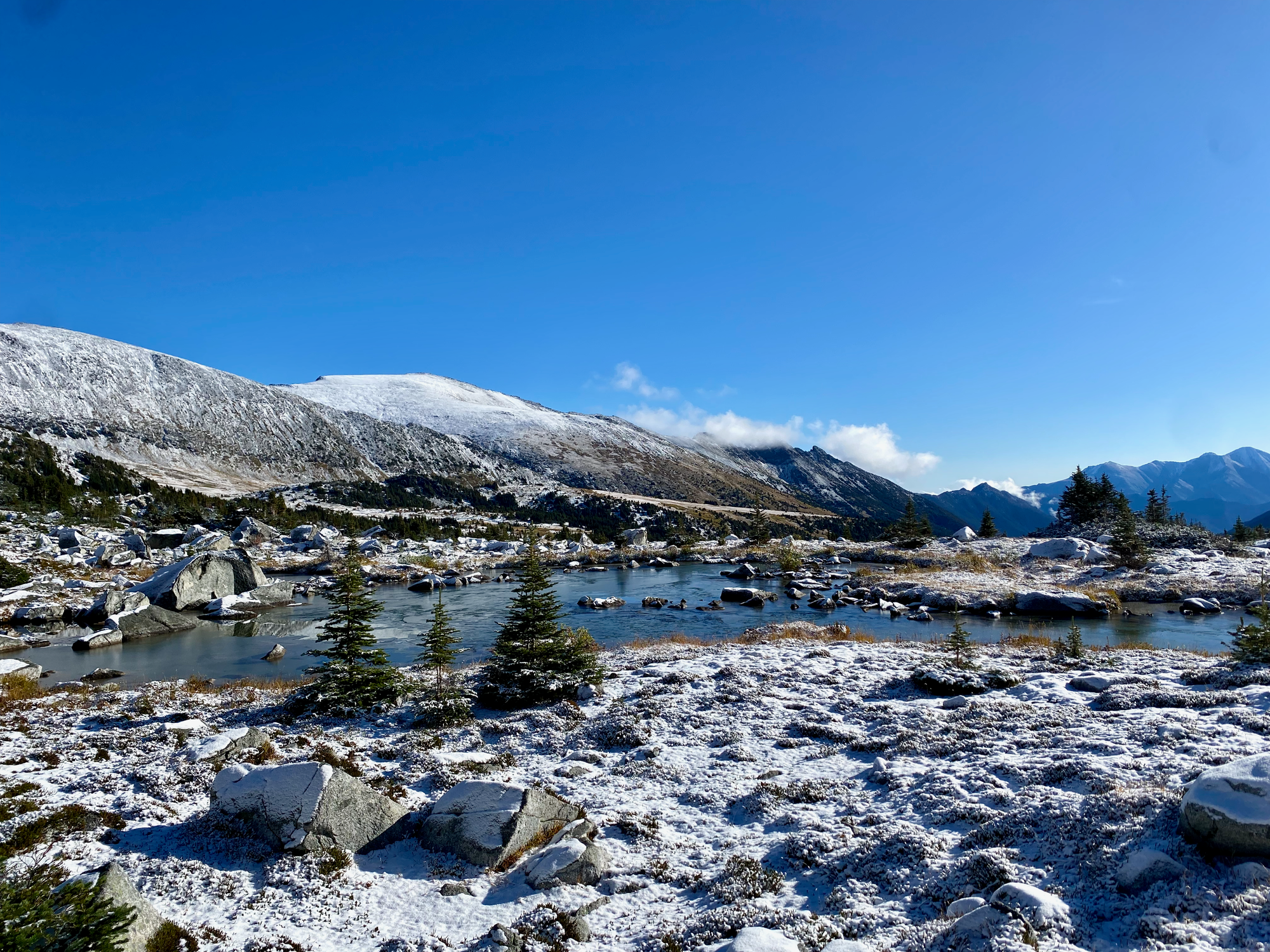
We scrambled up Linus first, ascending a boulder field south of Fawlty Tower then climbing another steep scree ramp to the ridge. From there it was a short ridge scramble to the peak, where we enjoyed extensive views of snow-covered mountains and meadows.
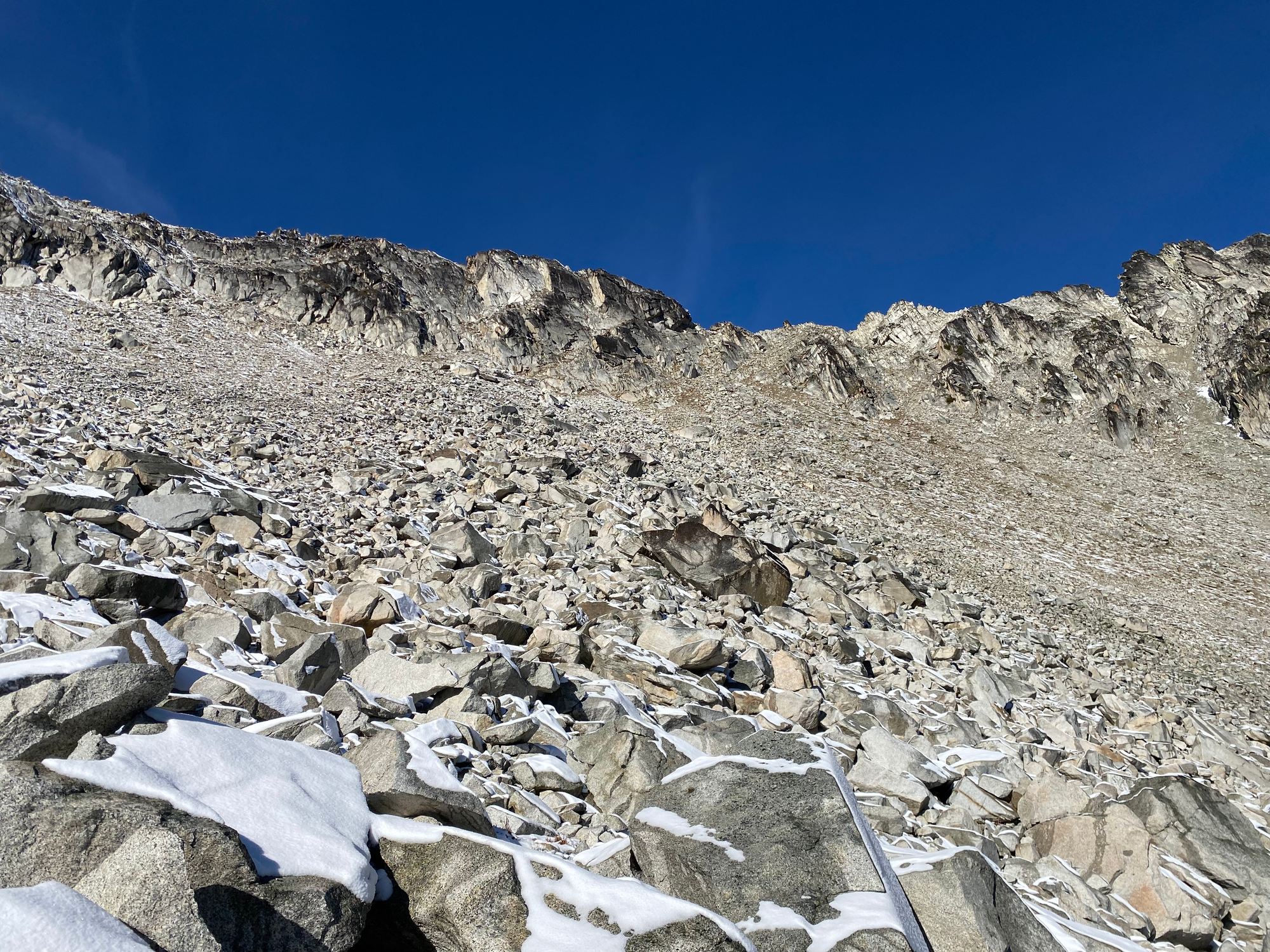
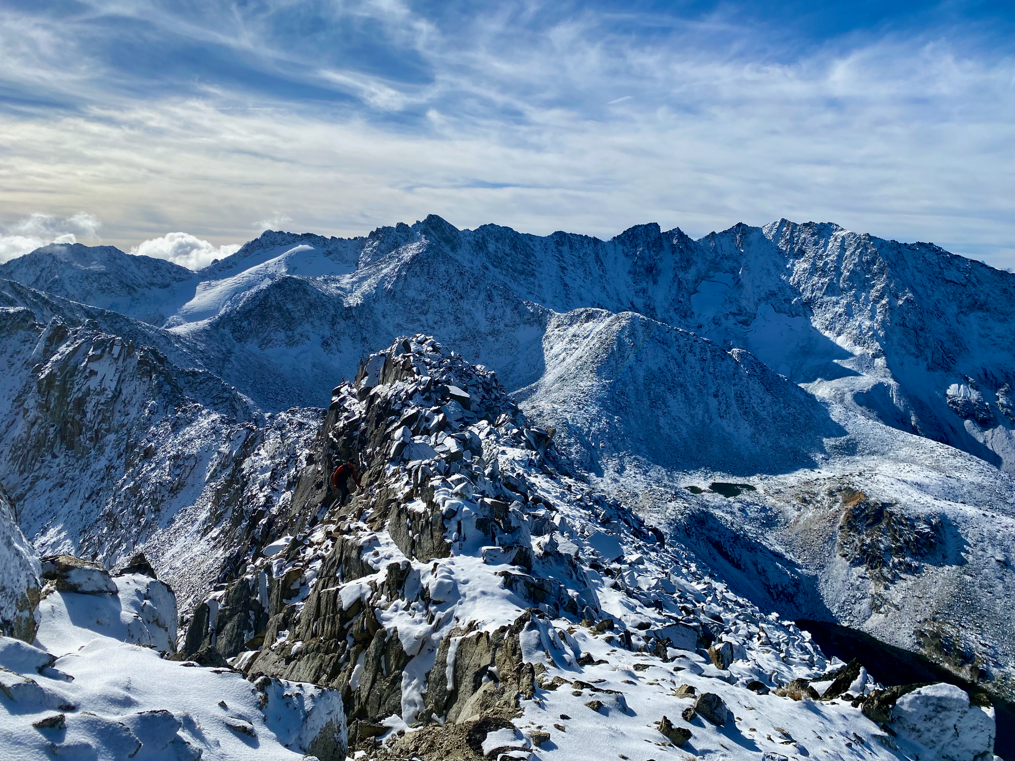
Our original plan was to traverse along the ridge to Statimcets. However, the rocks on the northwest side of Linus were much less stable, the snow made things much more slippery, and my hiking shoes were literally falling apart. I decided to turn around at a steep snowy descent with extensive exposure. From other trip reports, it looks like that route would be an OK scramble without snow. Instead we went down a sandy couloir just north of our ascent route, then walked around Fawlty Tower.
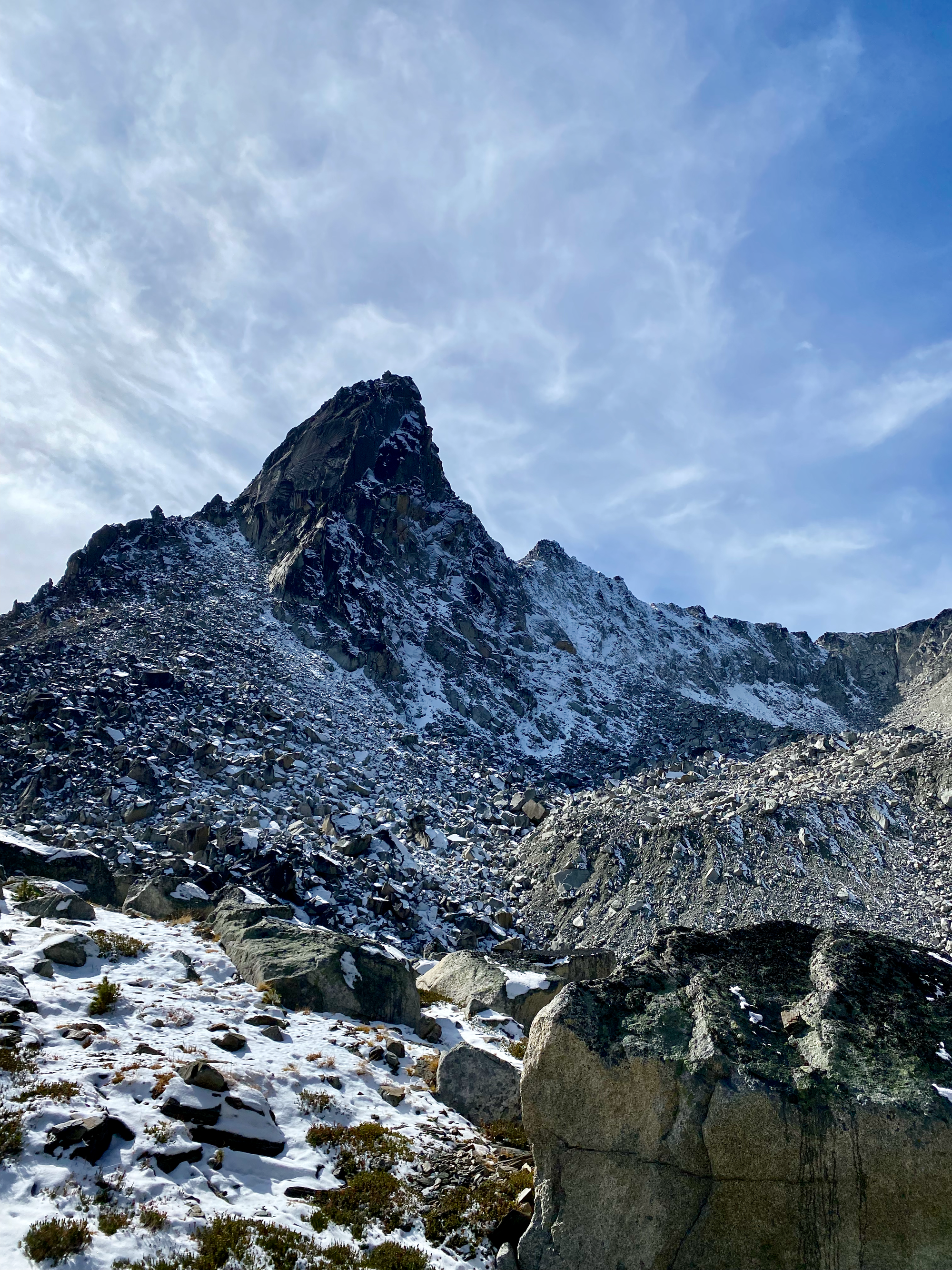
We went up what seemed like the most gentle slope on the SE face of Statimcets/Peak 8700, then traversed to a steep and exhausting reddish scree slope which led to the southern col. Another quick ridge scramble took us to the peak.
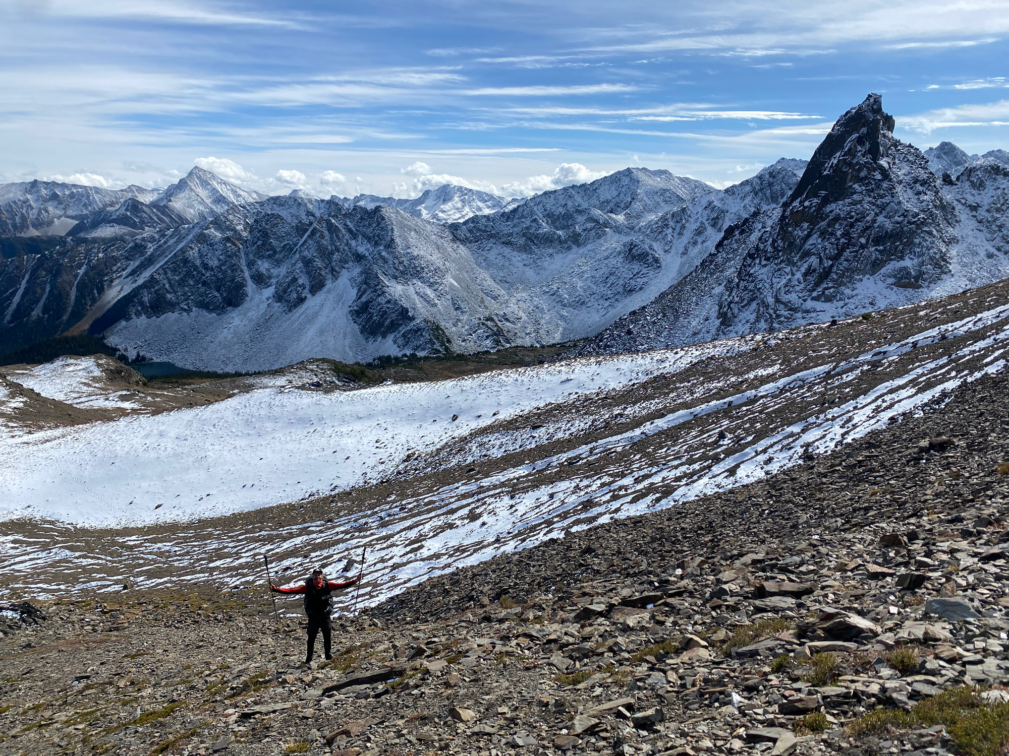
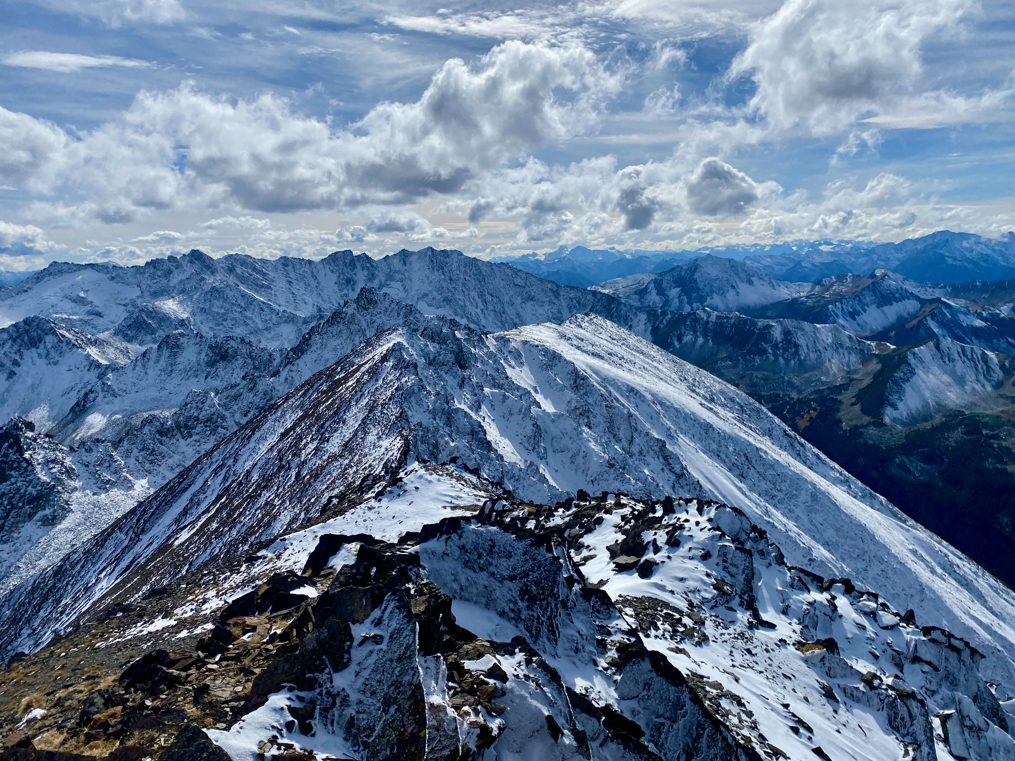
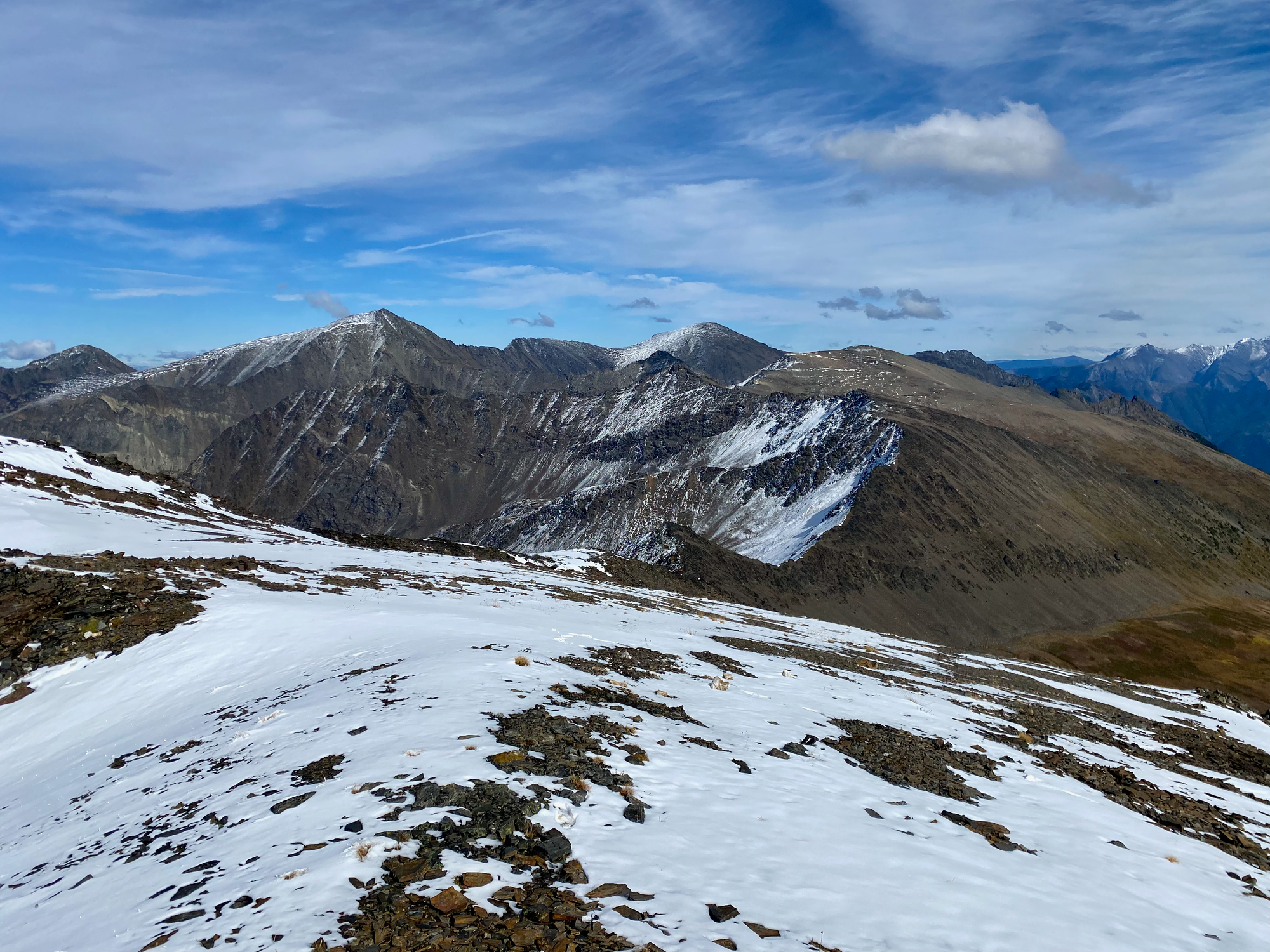
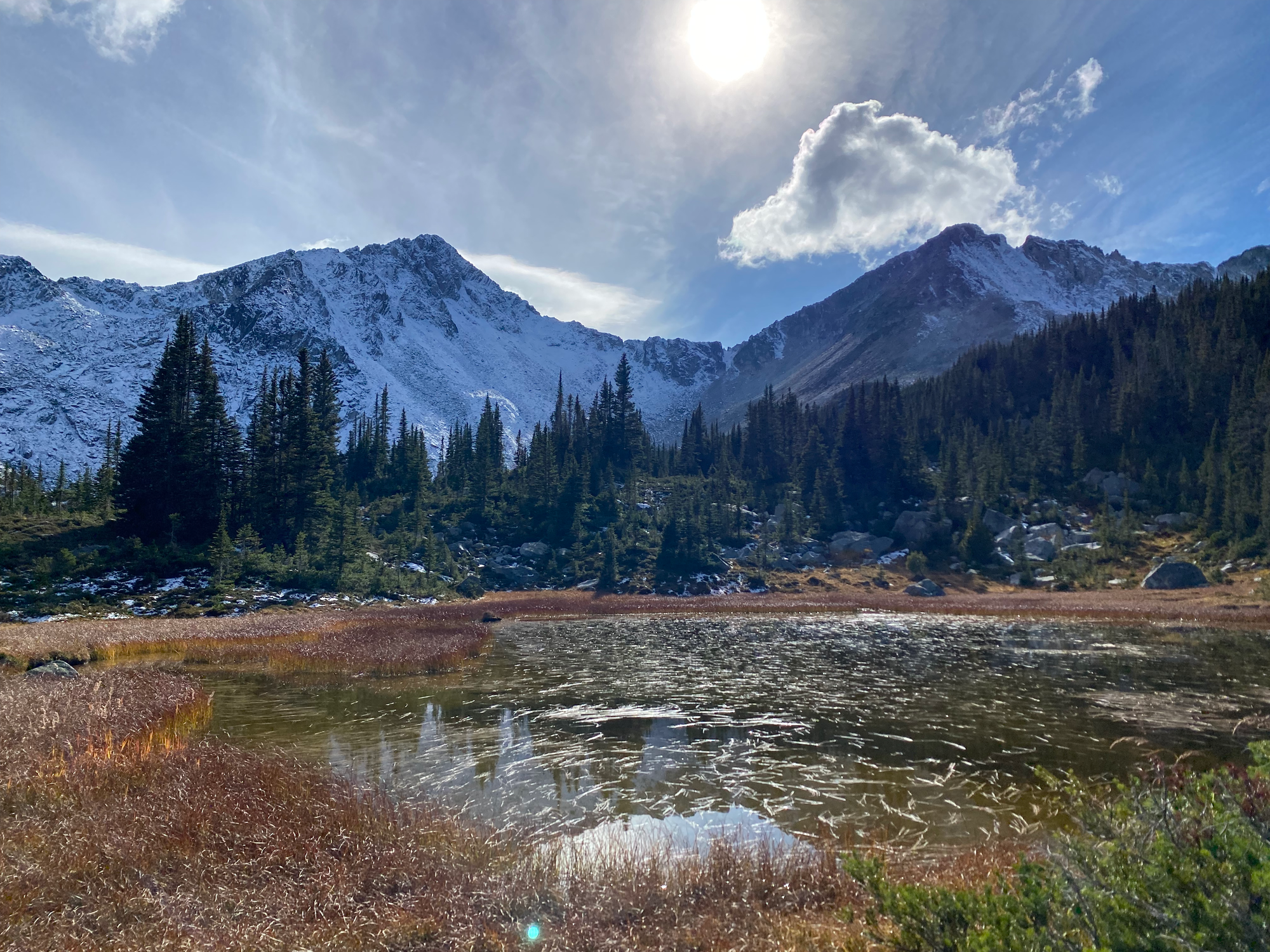
We went down the eastern side, also on scree, then crossed some lovely alpine meadows. To avoid bushwhacking we followed a dry creek bed, which became a muddy walk through bogs to a small marsh, eventually leading to Holly Lake. From there it was smooth sailing until the car.
The drive home took a long time. The sun set when we were about halfway along the road. There was a rainstorm on the way back and it was difficult to see the lines on the Sea-to-Sky. Eventually we made it back to North Van in one piece.
Would recommend exploring this area soon, before the bridge is gone and access becomes 14km longer.


Member discussion