Dix Range
May 3, 2024
Distance: 21.02 km
Elevation gain: 1189 m
The Dix Range contains five less-travelled High Peaks: Dix, Hough, South Dix, Grace (formerly East Dix) and Macomb. I was about to move away from Montreal and wanted one last Adirondack hike to celebrate the occasion. I posted on the MOC mailing list. For once, the email was approved quickly, and I was joined by Kate from Ontario and Petra and Adele, two Czech exchange students.
We planned to do a clockwise loop of the entire range. I'm definitely in the minority here, but I think this route is better done clockwise, as long as you can handle descending the scrambling section above the Macomb Slide. It was nice to get the highest elevation out of the way, and the scree- and dirt-covered Macomb Slide would be an annoying and slow ascent.
It should be noted that May is not a good time to hike the high peaks. The higher peaks are covered in soft snow, which is very easy to posthole, even wth snowshoes. Melting snow creates massive amounts of mud, leaving trails vulnerable to erosion. At times the New York Department of Environmental Conservation (DEC) issues warnings to stay off the high peaks; apparently last year, this warning was in effect for most of the summer. If you must go, walk through the mud in the middle of the trail, instead of around the edges, to avoid erosion.
I woke up at 5:30am, still tired from an adventure in Ontario the previous day, met everyone at the Communauto, and drove south. The Dix Range is usually accessed from Elk Lake Road. This road is gated in the winter but luckily for us, the gate had been opened a couple days earlier, saving us a couple miles each way. The main Elk Lake parking area was small but empty.
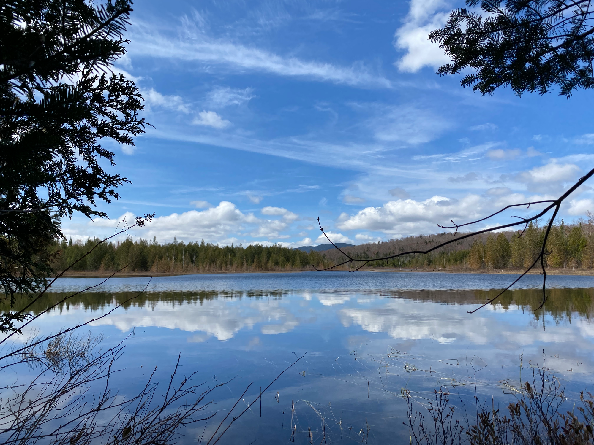
The first few kilometres were on an old logging road with plenty of boulders to hop over. There were a couple small creek crossings but we stayed dry. We reached the Slide Brook campsite, the turnoff to the Macomb Slide, and kept going north. We passed another campsite and a short detour to Dix Pond, then headed northeast on the Beckhorn trail at a Y-junction.
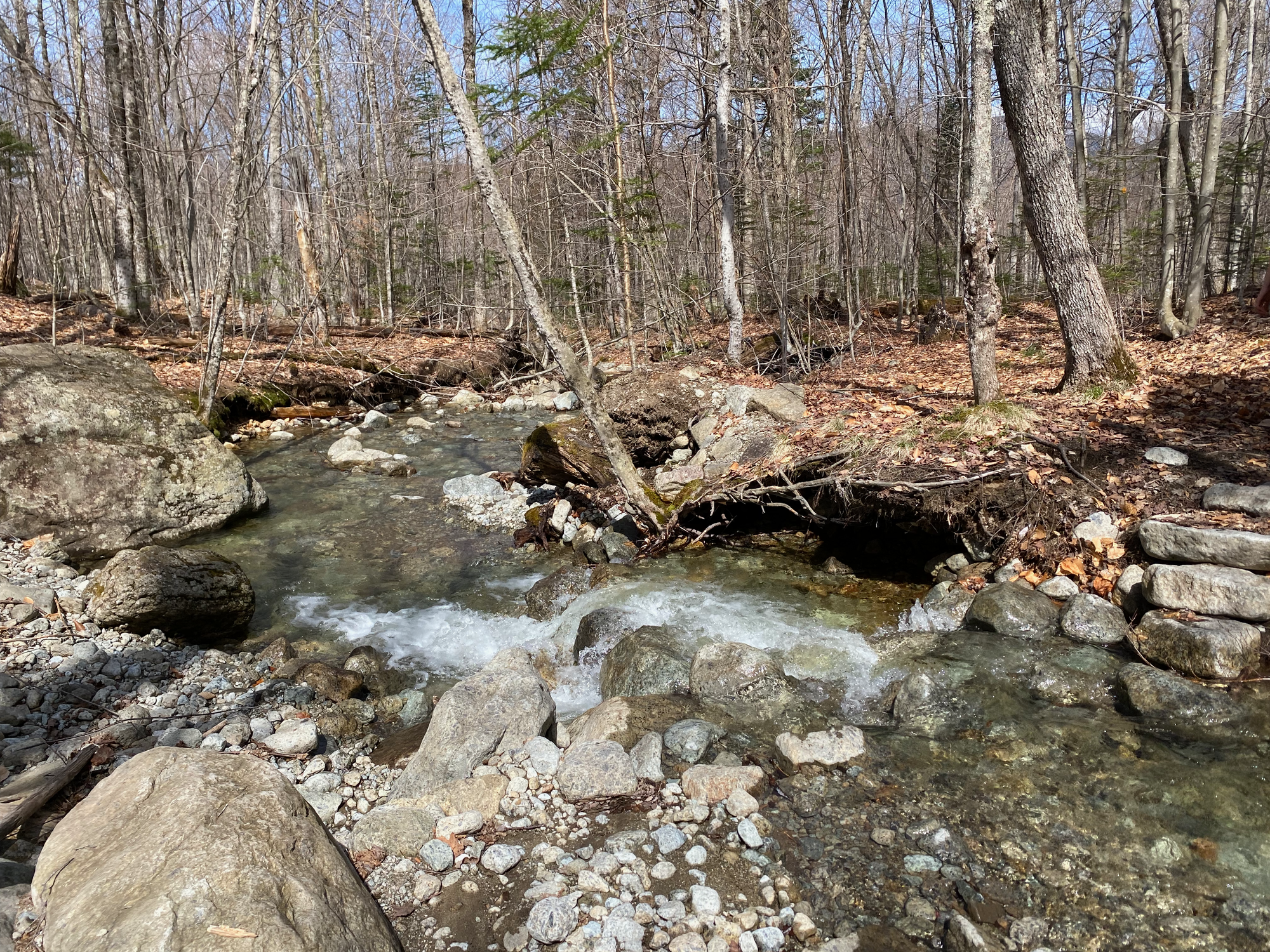
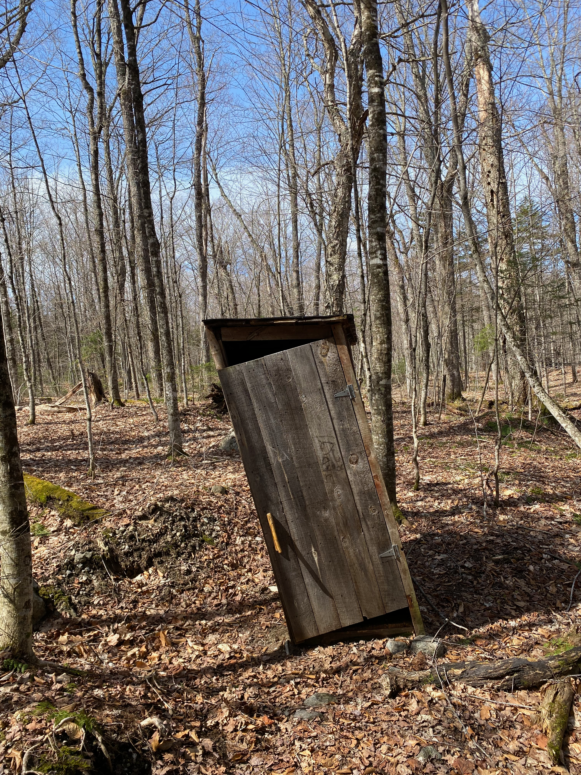
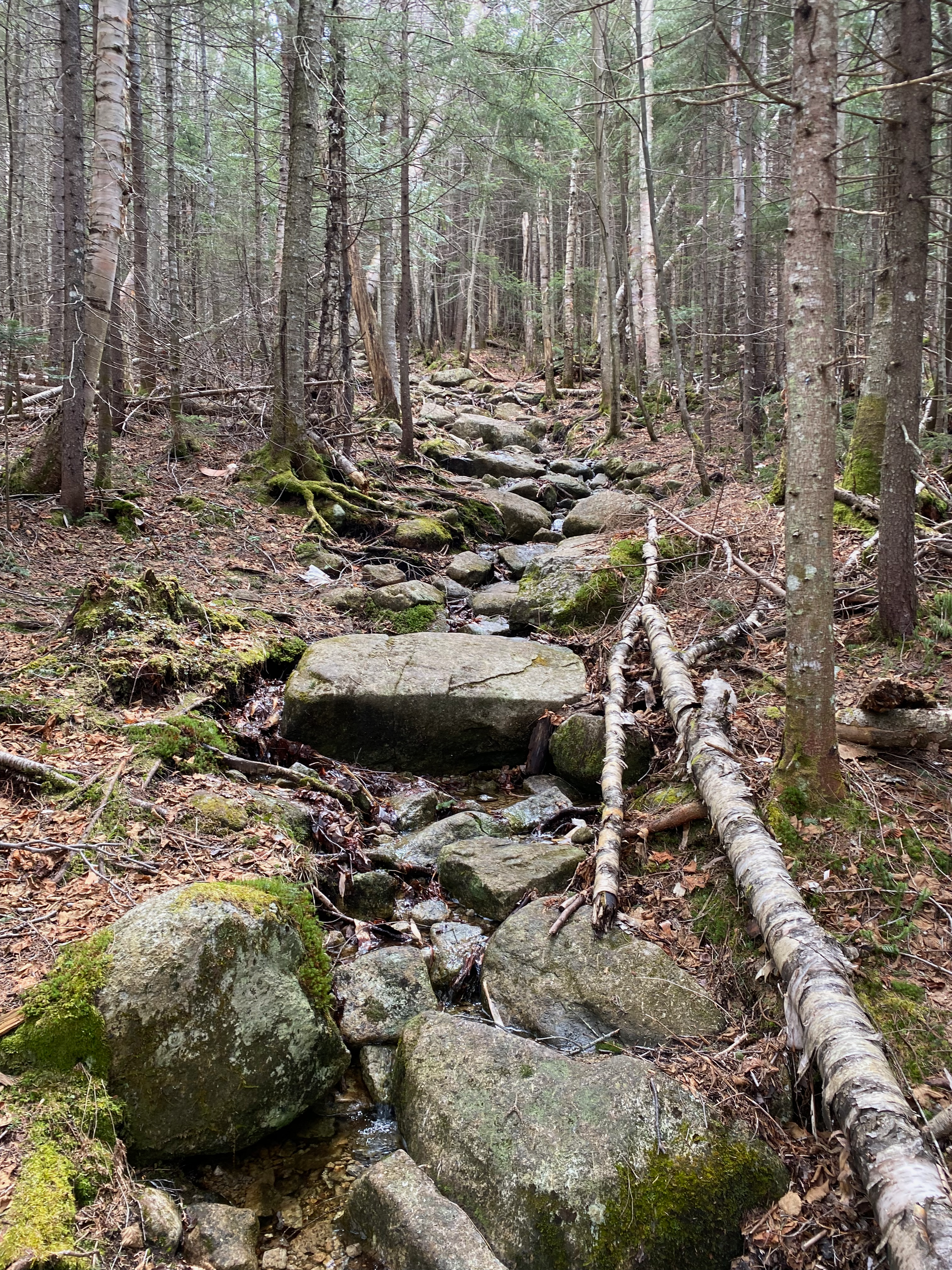
The Beckhorn trail was a long grind. Like most Adirondack trails, there were many rocks and roots to climb over, and at some points the trail became a creek bed. Patches of snow started at 1150m but we made it to the top without using our snowshoes. As the trail gained elevation, it became steeper, and there were several smaller scrambling sections.
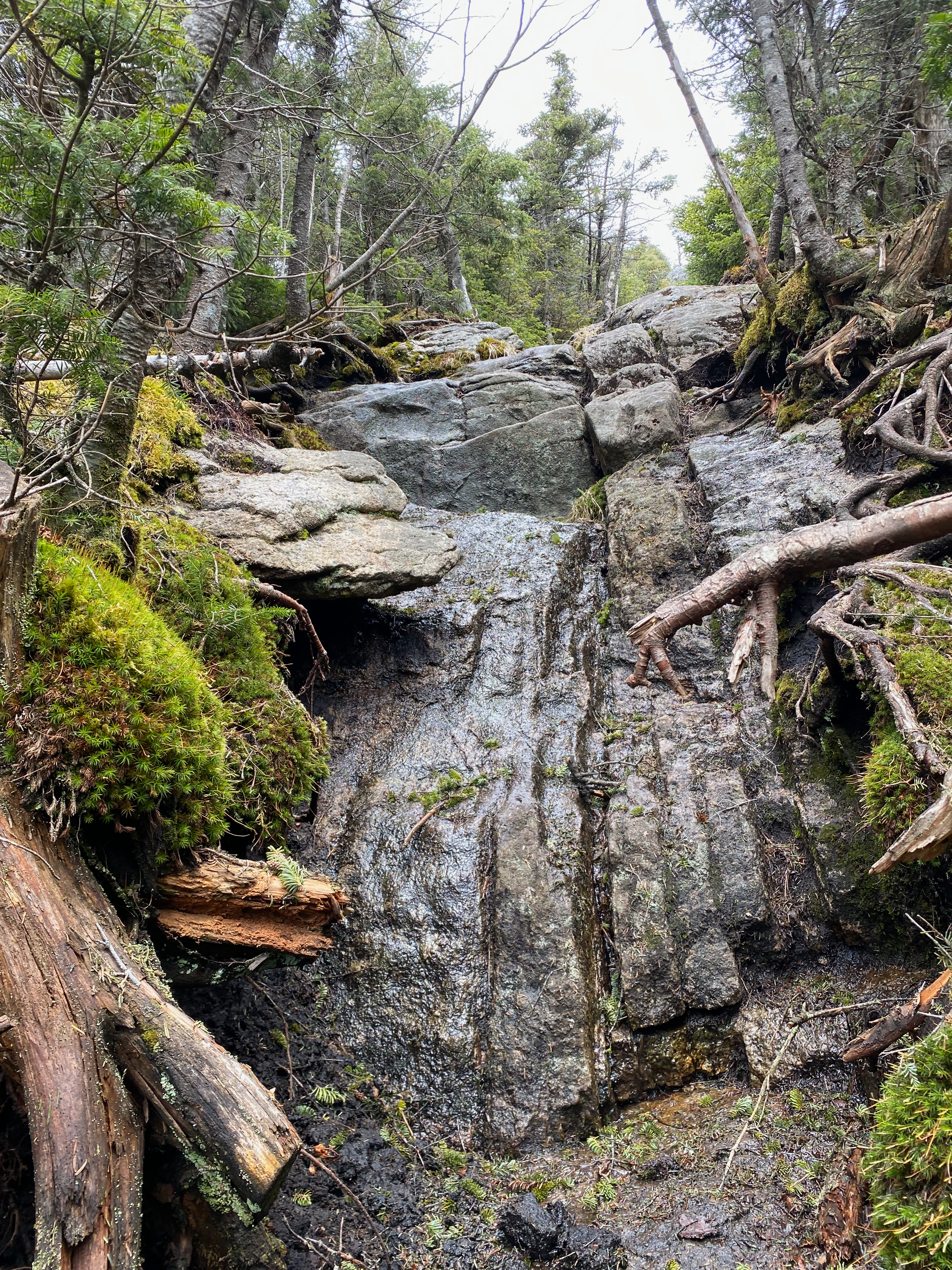
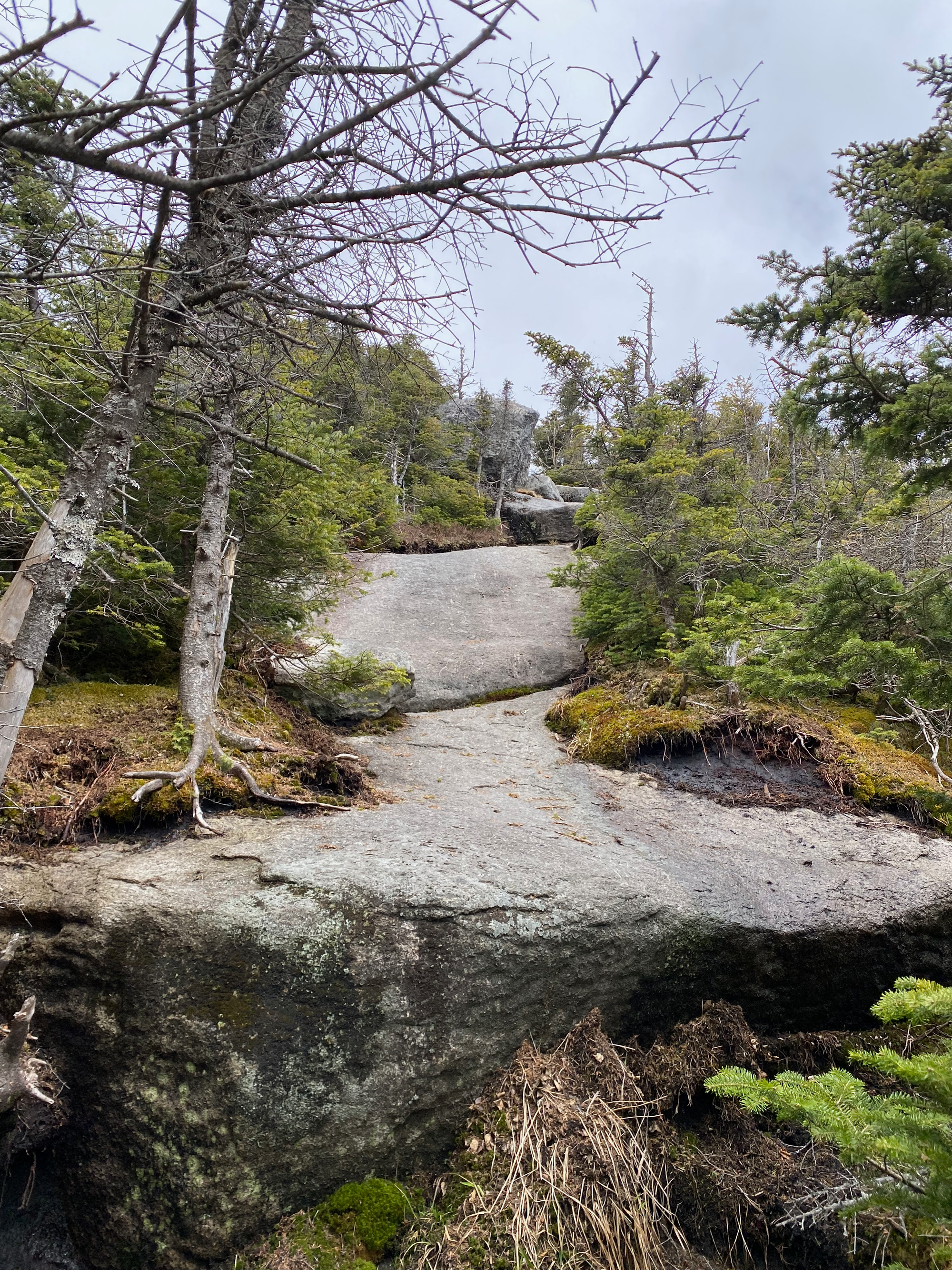
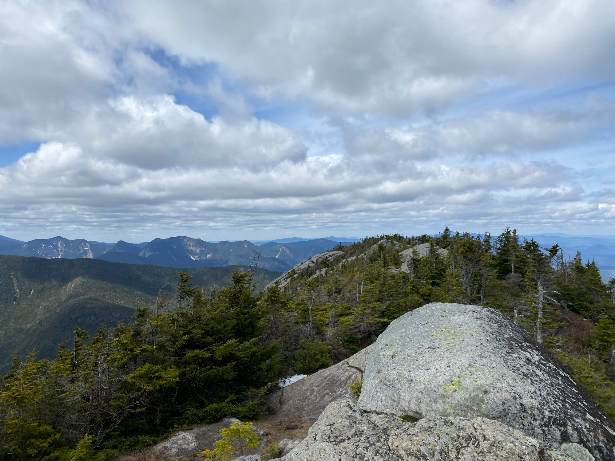
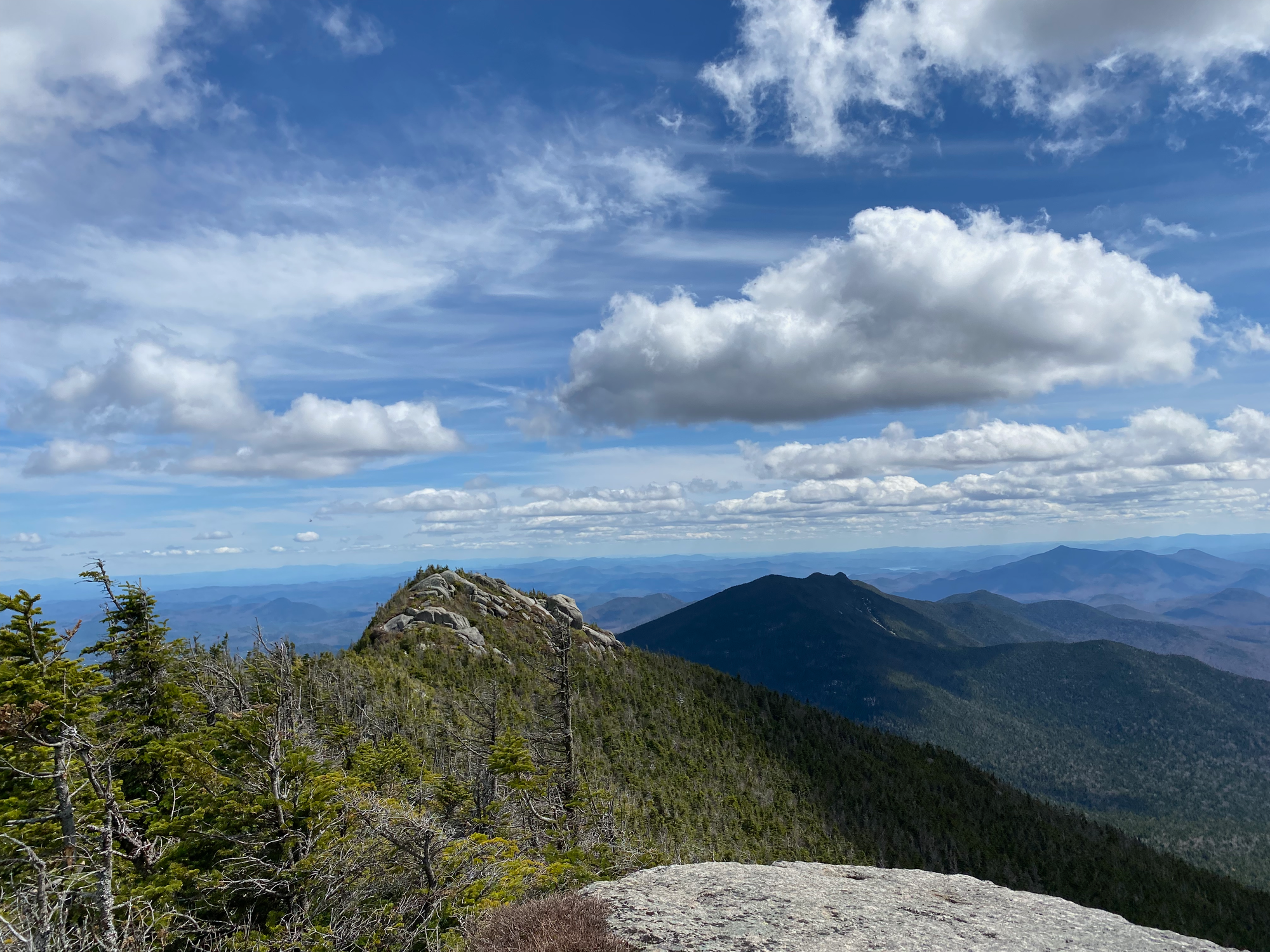
The trail leads to the Beckhorn, an exposed granite bump. Just before reaching the ridge, there was a short scrambling step, marked with yellow markers, and then a short chimney that could be bypassed. We negotiated this obstacle and made it to the top, enjoying the excellent views. The summit of Dix was a short ridge walk to the north, so we had lunch there.
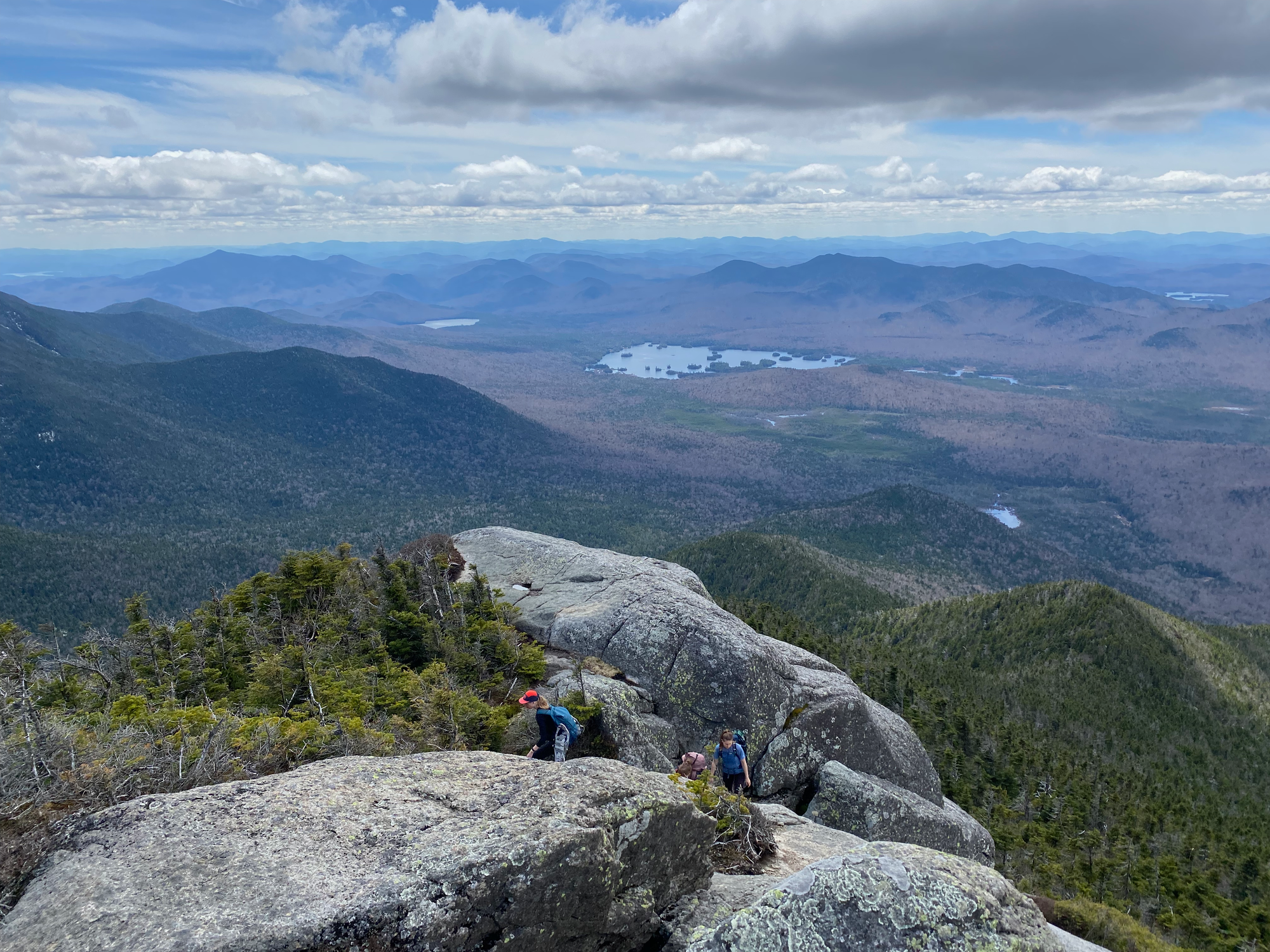
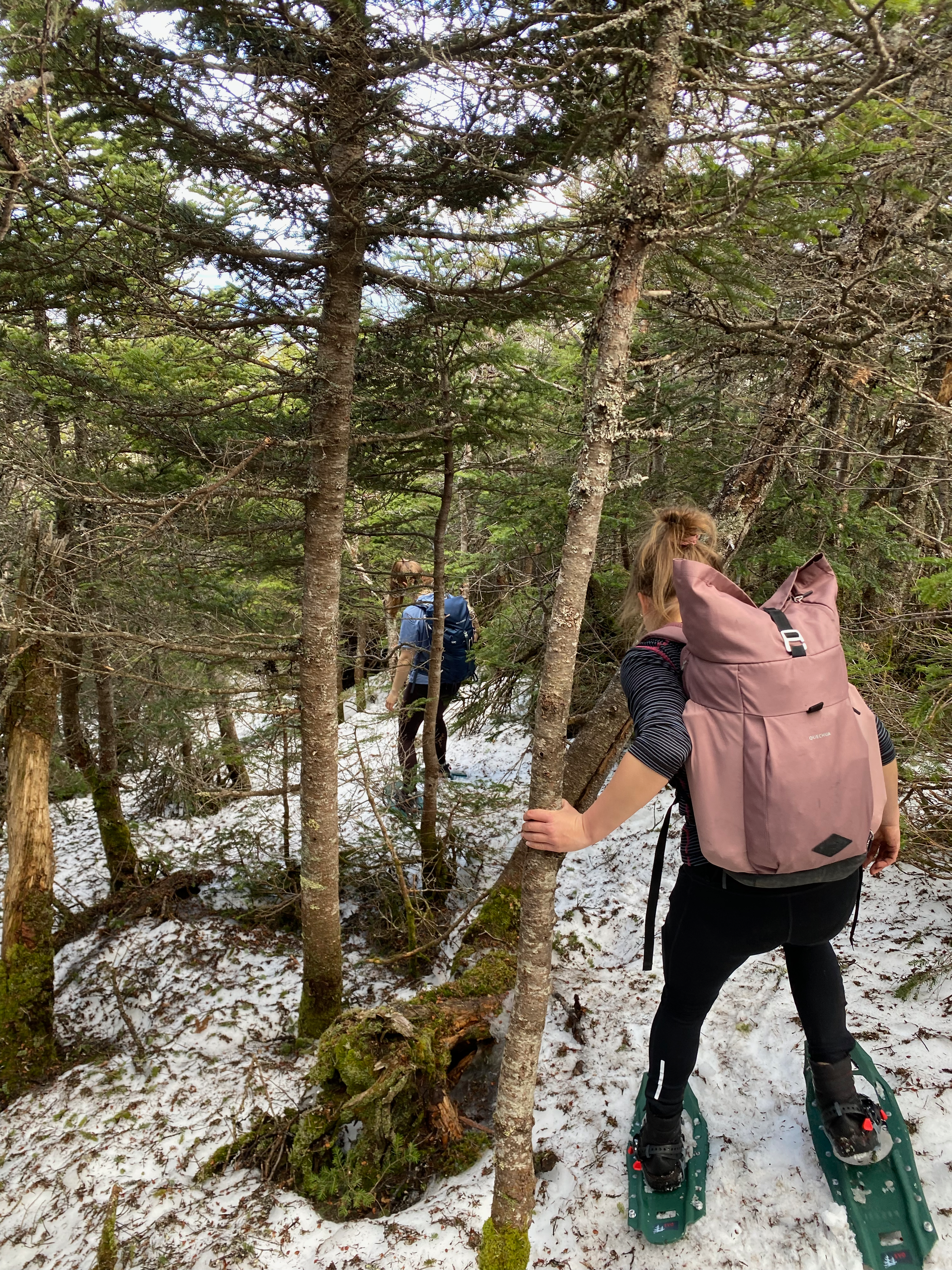
We returned to the Beckhorn and descended the ridge. South facing slopes had patches of snow, so the snowshoes went on and off a few times. The north facing slopes were still covered in snow and the shoes stayed on. As expected, the snow was quite soft and we kept postholing. This is one reason why snowshoes are required in the High Peaks - this section would have almost been impossible without them.
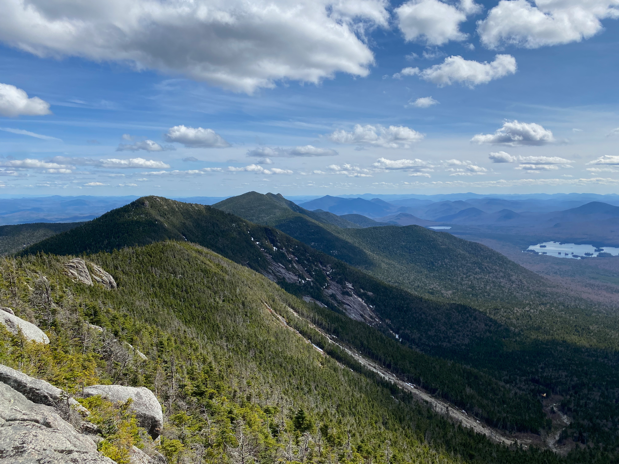
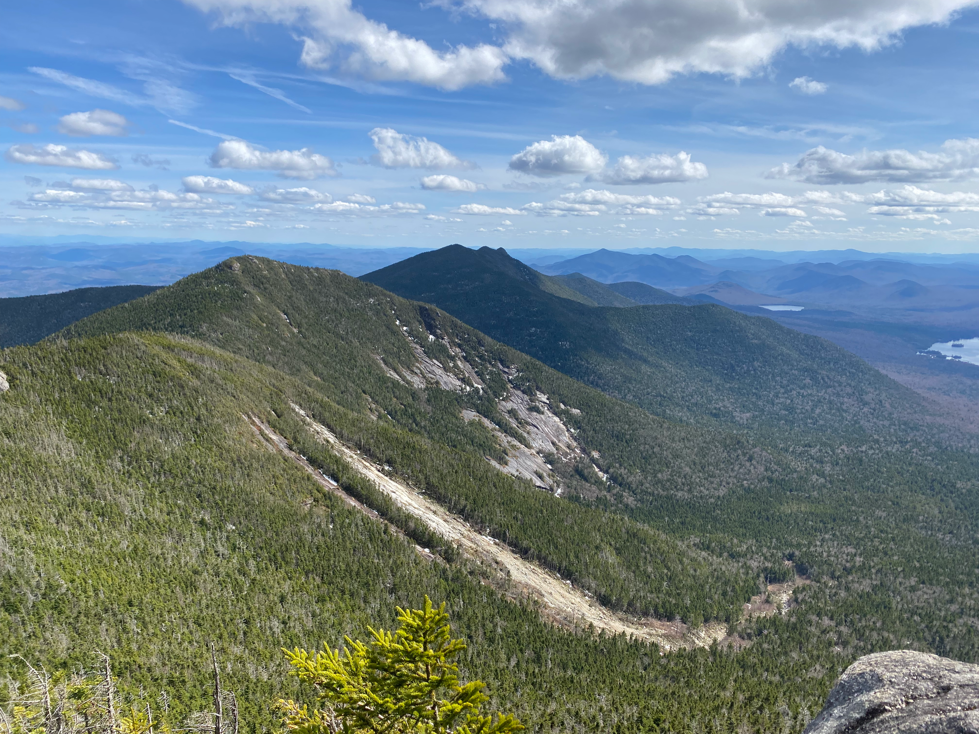
It was slow going. The ridge is mostly treed but there were some viewpoints. After a while we reached Hough Peak, which has some good views to the north and west.
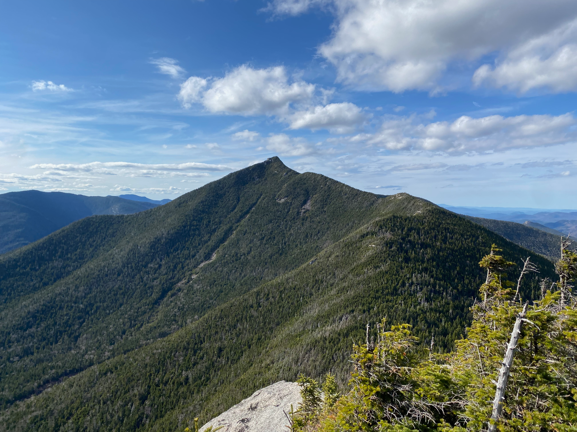
The descent from Hough had one scrambly section, which could be made much easier by going to the right (west). Like before, the snow was patchy and slowed us down. We kept taking the shoes on and off as snow started and ended, and postholing delayed things even more.
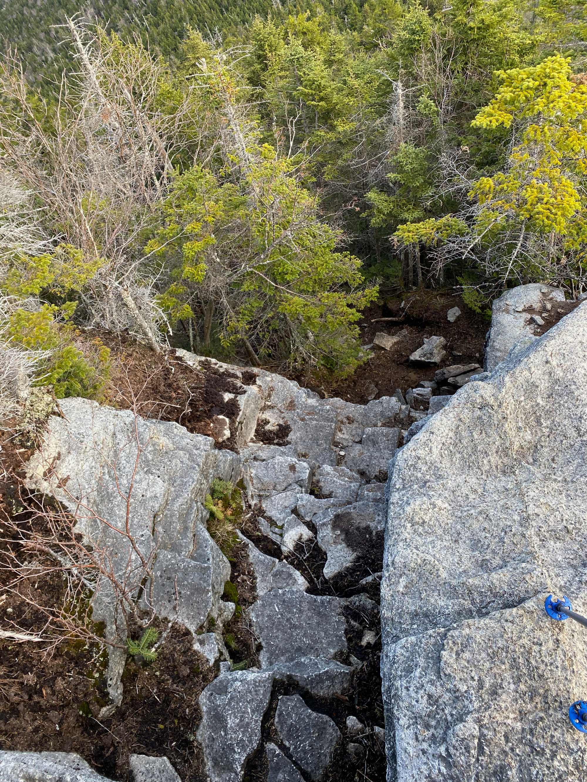
We climbed over a small sub-summit called "Pough" before reaching the peak of South Dix. At one point the snow covered a small creek bed. For about five or six steps I was postholing with each step!
We decided to skip Grace Peak, a 3km out and back, due to time concerns. The summit of South Dix is in the forest and offers no view, but past South Dix we descended a series of rocky ledges. No real scrambling was needed here, but it was still really fun, and we had excellent views to the south and west.
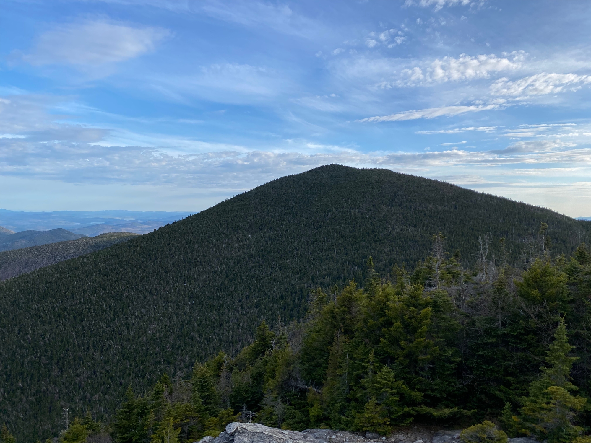
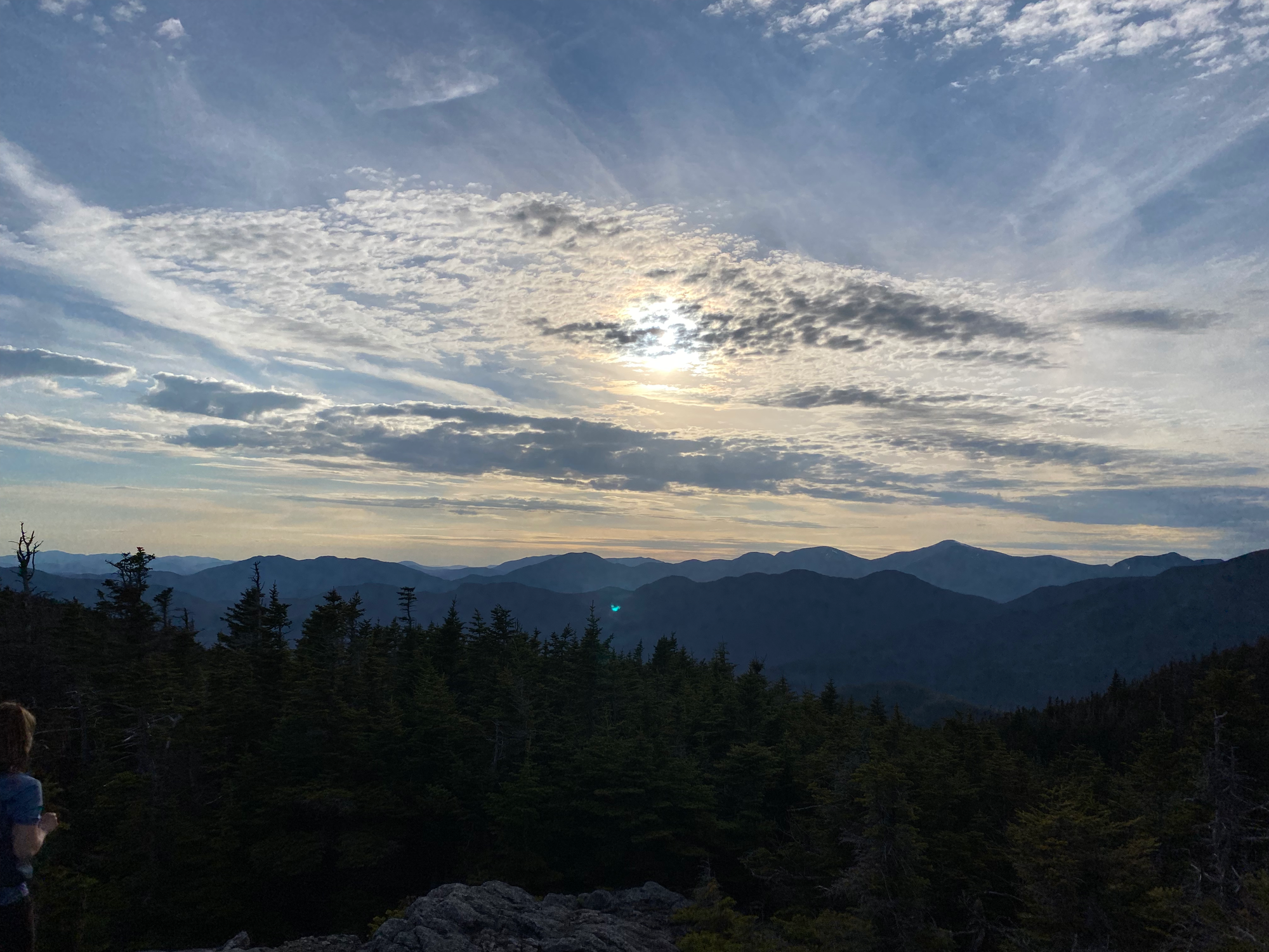
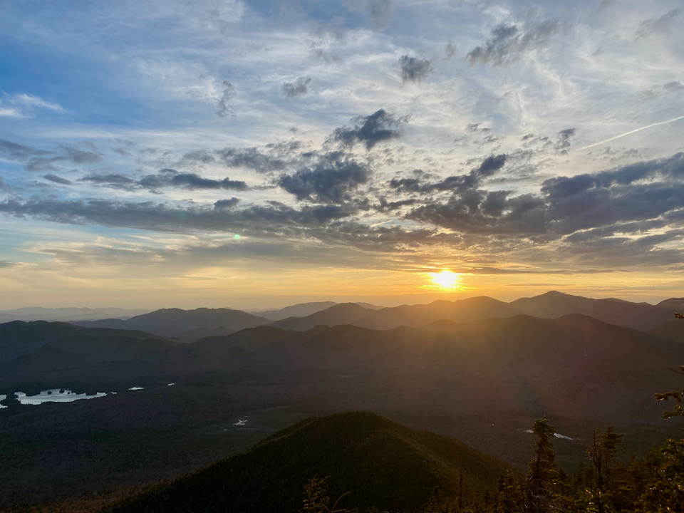
One last posthole-fest ensued as we ascended Macomb. The actual summit is in the trees but great views can be found to the west, at the start of the Macomb Slide trail. We caught the first few minutes of sunset, then quickly left to ensure sme light for our descent.
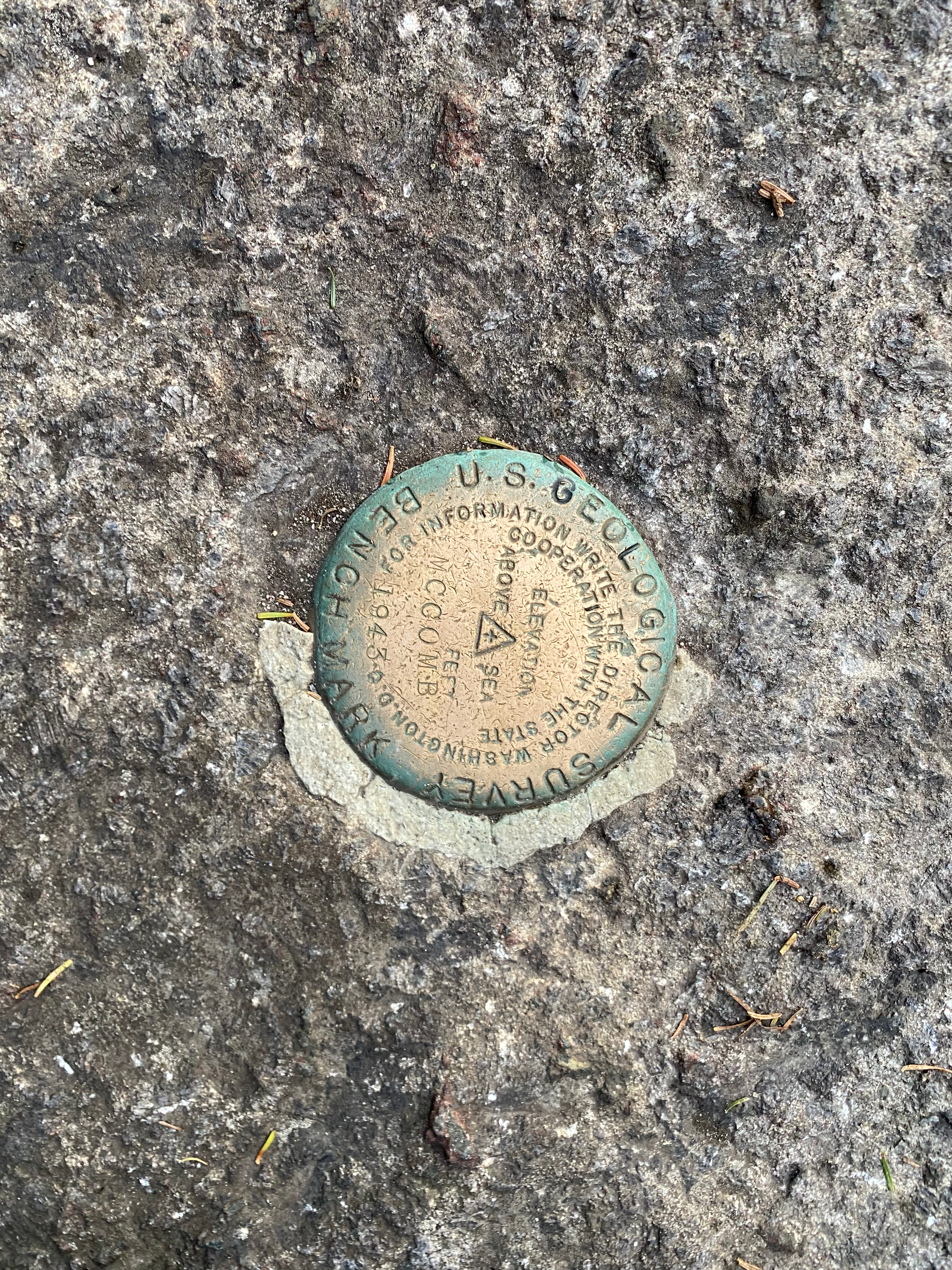
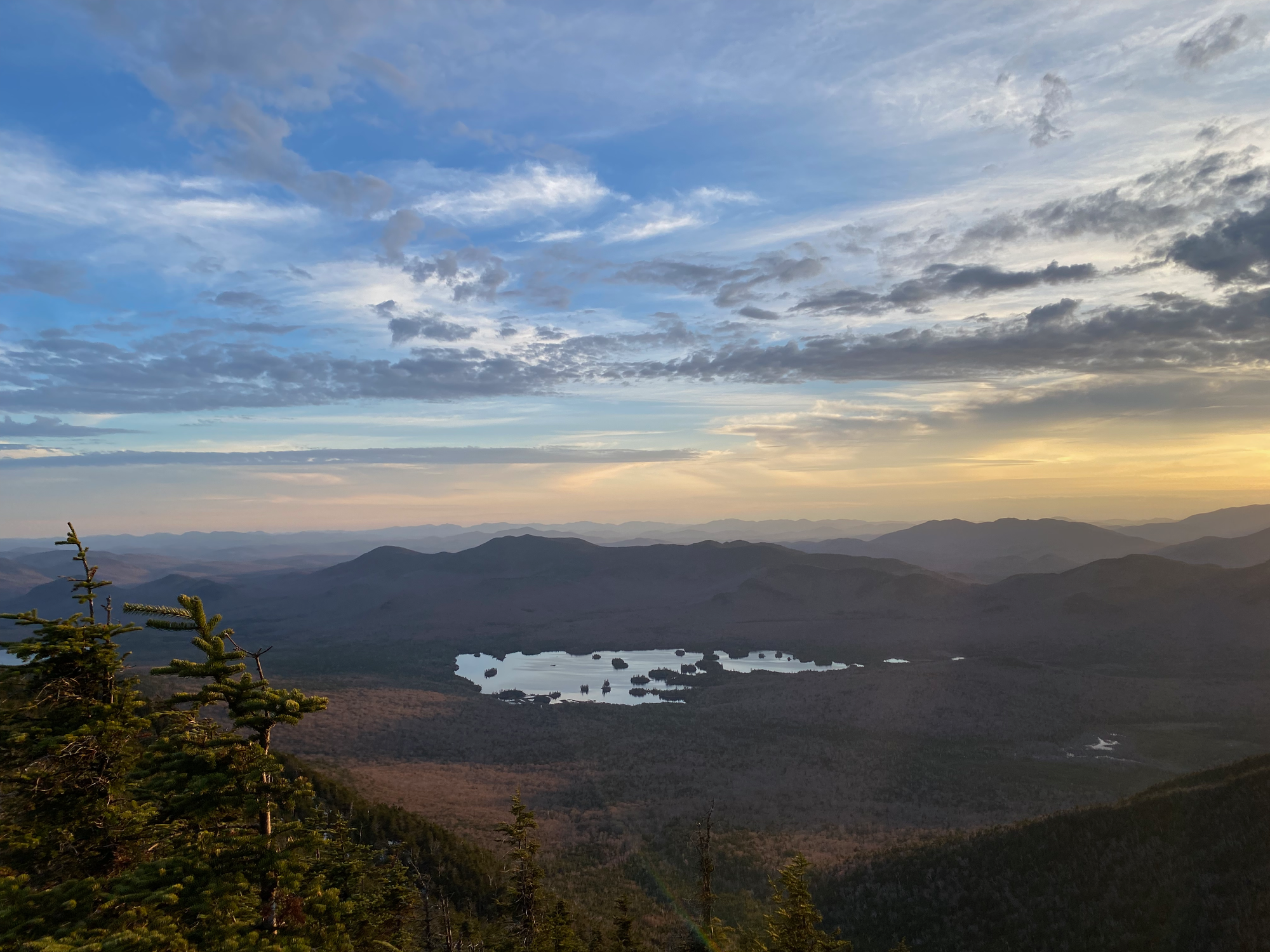
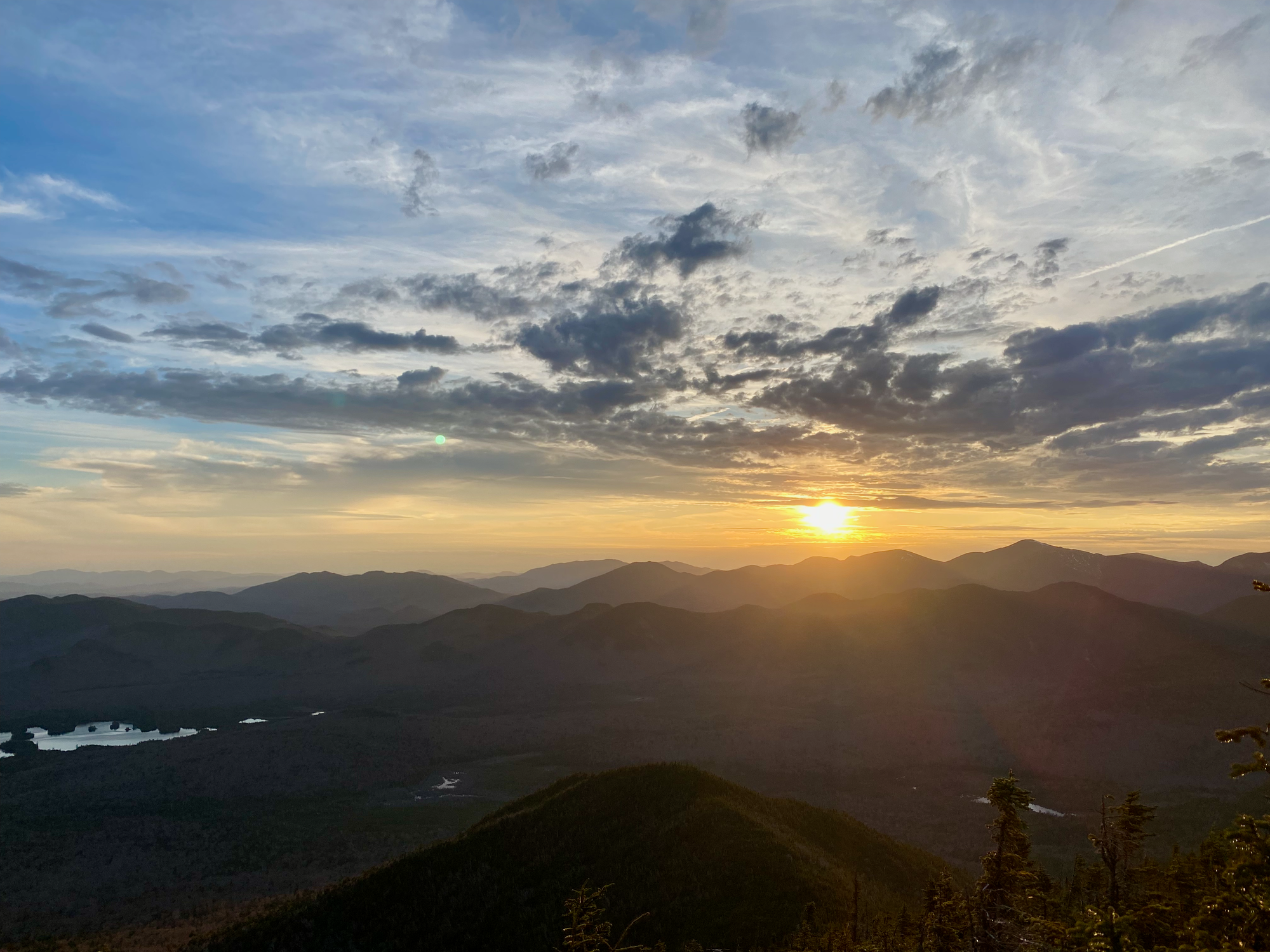
We had to descend the Slide Brook herd path, the most difficult part of the day. It started as a steep snowy trail. After a few hundred metres we descended a small chimney to reach a large sloping slab. It took some routefinding, but we eventually found a safe descent route at the right (north) side of the bluff.
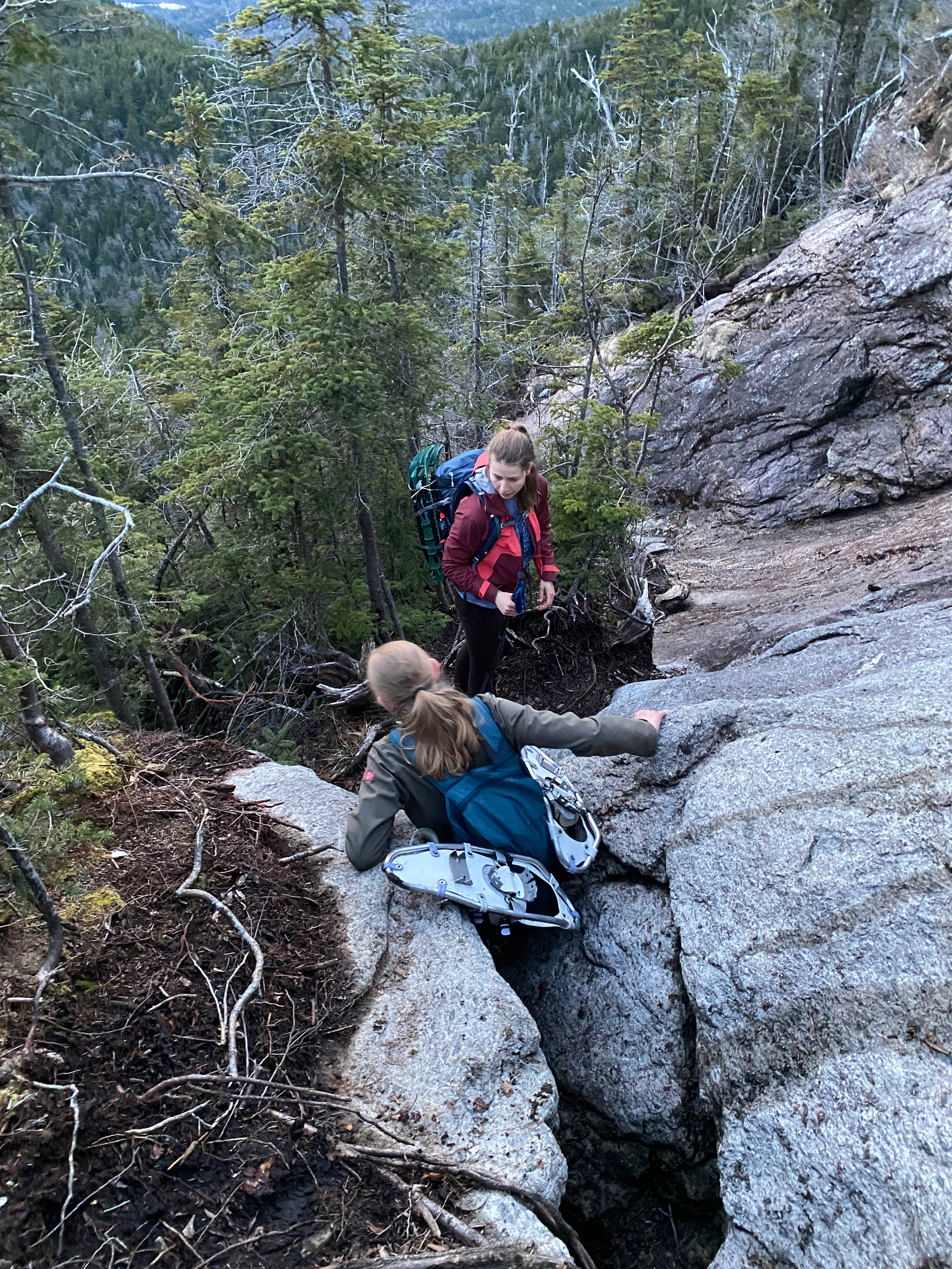
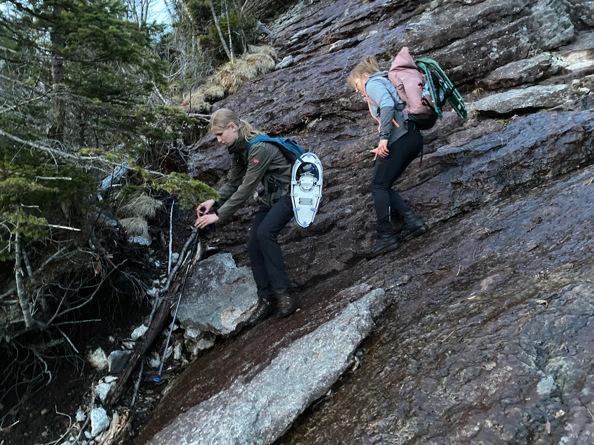
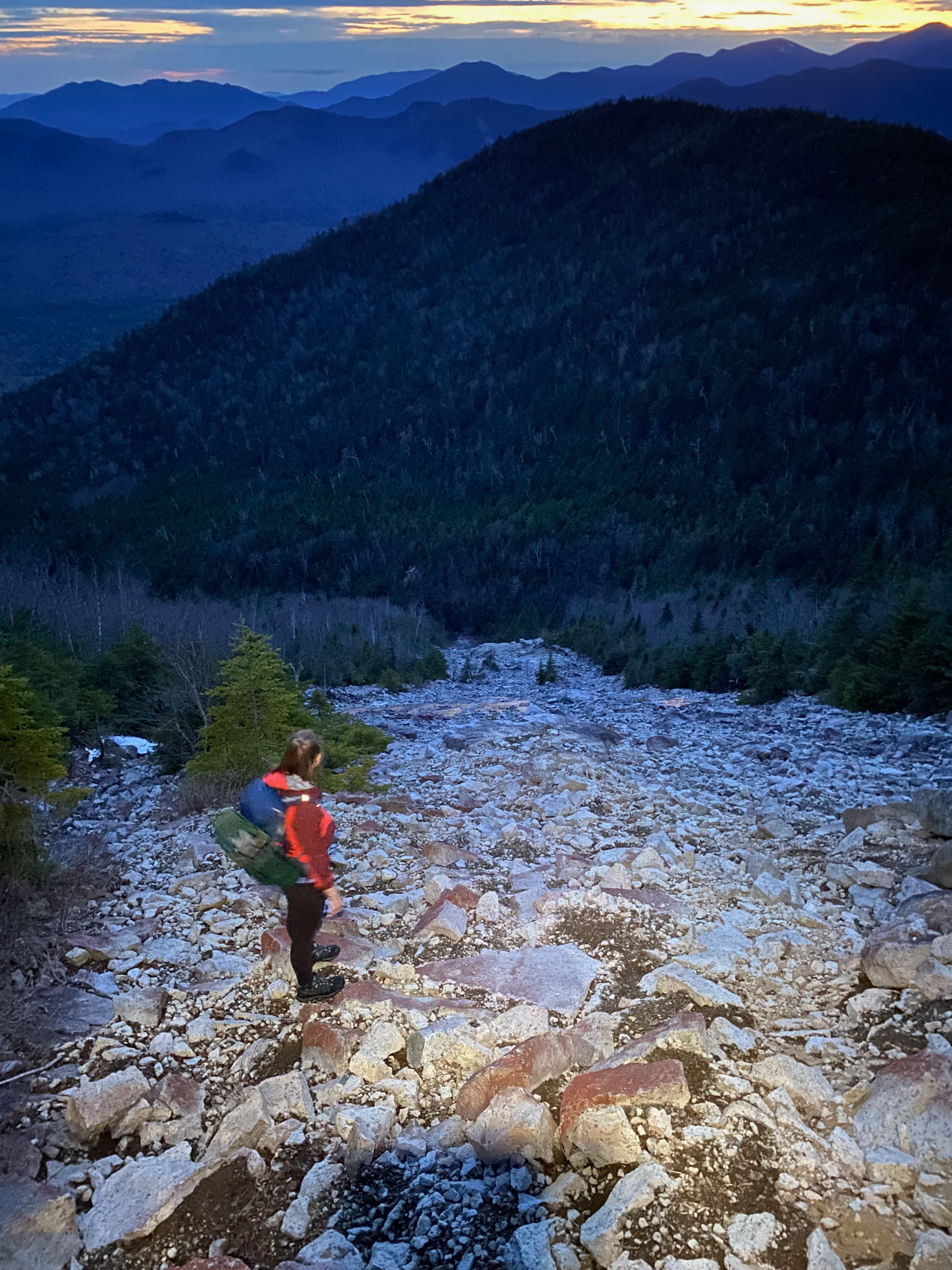
After this, we soon reached the top of the Macomb Slide proper, a mess of rocks, gravel, and dirt. We hugged the left (south) side for most of the descent, using bushes and larger rocks to steady ourselves in the slipperier sections. As we descended, the sun set behind the mountains, and it got darker.
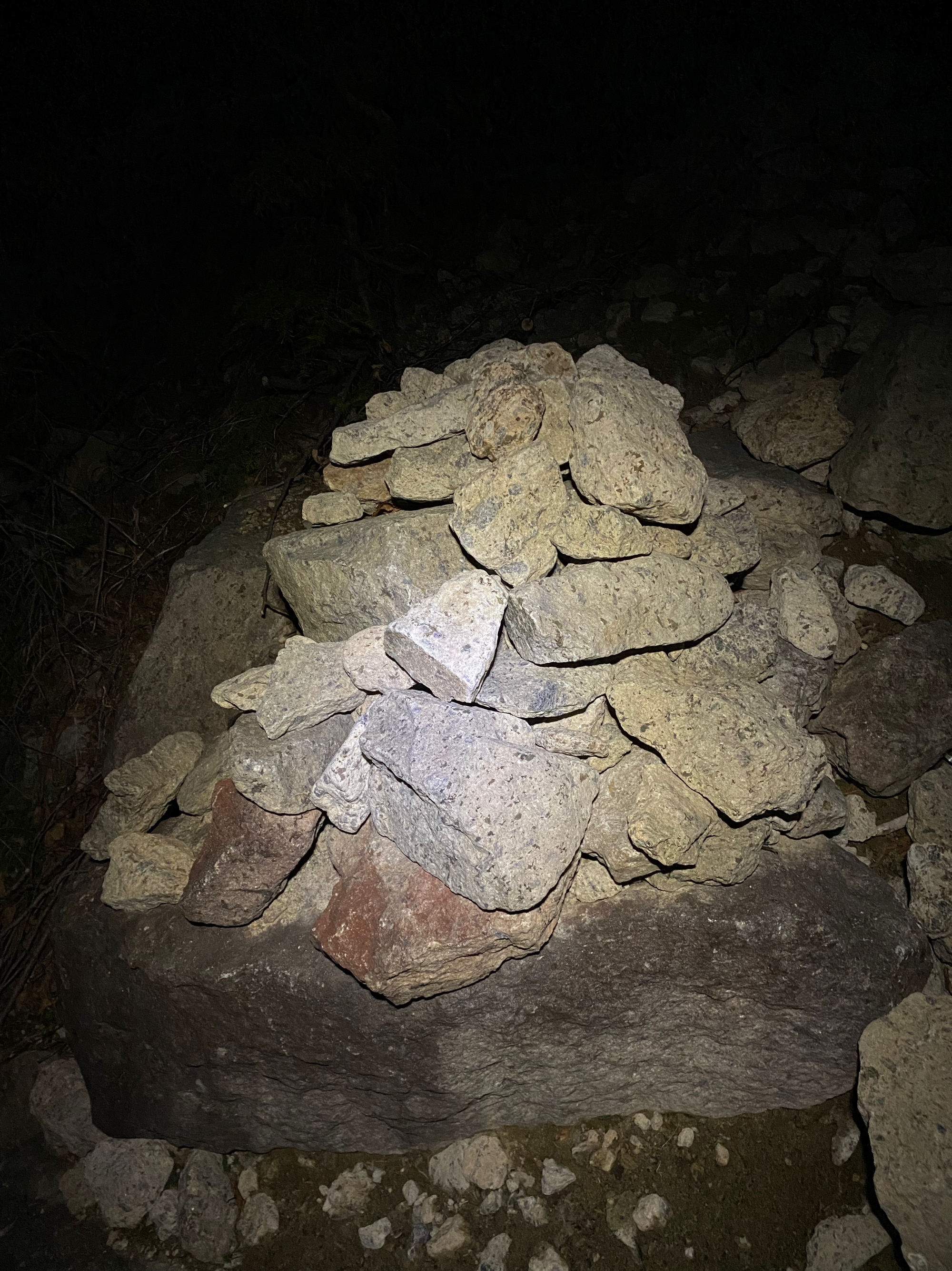
The herd path leaves the slide to the north near its base, marked by a large rock cairn which some parties found easy to miss. Past this cairn, we crossed a small creek, then followed it to the Slide Brook campsite.
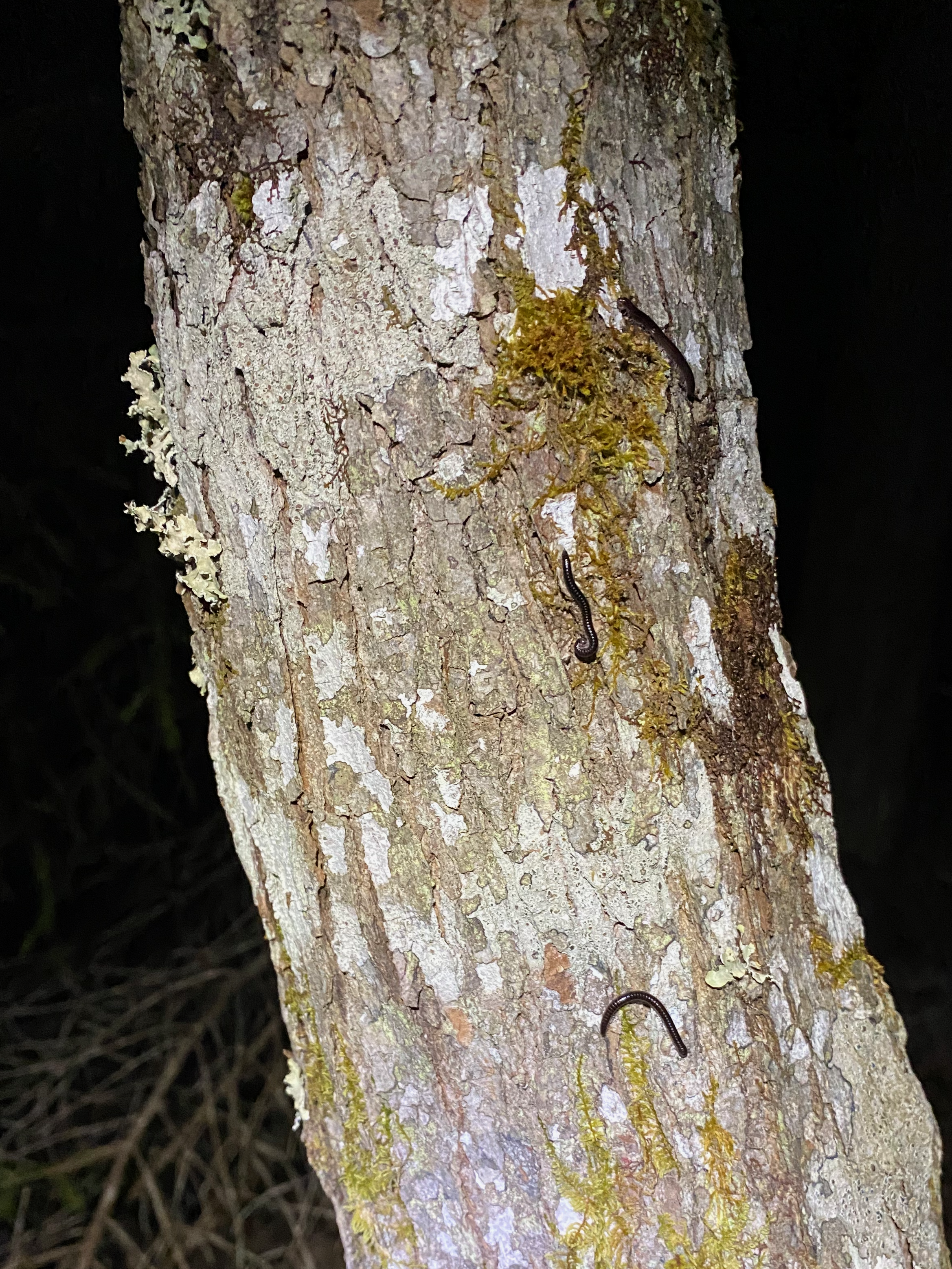
We then walked briskly to the parking lot, lighting the way with our headlamps. The return was uneventful. Eventually we made it to the car and headed north, returning to Montreal around 2AM. Once in Montreal I had to navigate around hundreds of people (literally) partying on Saint-Laurent Street, some of whom were hanging out in the Communauto parking spaces. Eventually I found an obstacle-free parking space and returned the car.
What a great way to end the term! I was expecting an adventure with lots of type 2 fun and this trip delivered. This may be my favourite ridge walk out east. Hopefully I can come back to climb Grace, although it won't be in mud season.


Member discussion