Coldwell Peak

Date: October 6, 2024
Distance: 13.36km
Elevation gain: 790m
Coldwell Peak, Theta Peak, and Hastings Peak (“Holmden” on Peakbagger) are the high points of three ridges to the northeast of Mount Seymour. All three can be accessed from the Elsay Lake Trail and offer surprisingly good views and walks through old-growth forest. Coldwell is unofficially named after Coldwell Creek, in the valley to its south.
Dad and I visited Coldwell for a half-day trip in October. We took the standard Mt. Seymour trail to the Elsay Lake Trail. Past Wes’s Staircase, the ELT was more overgrown than I remembered.
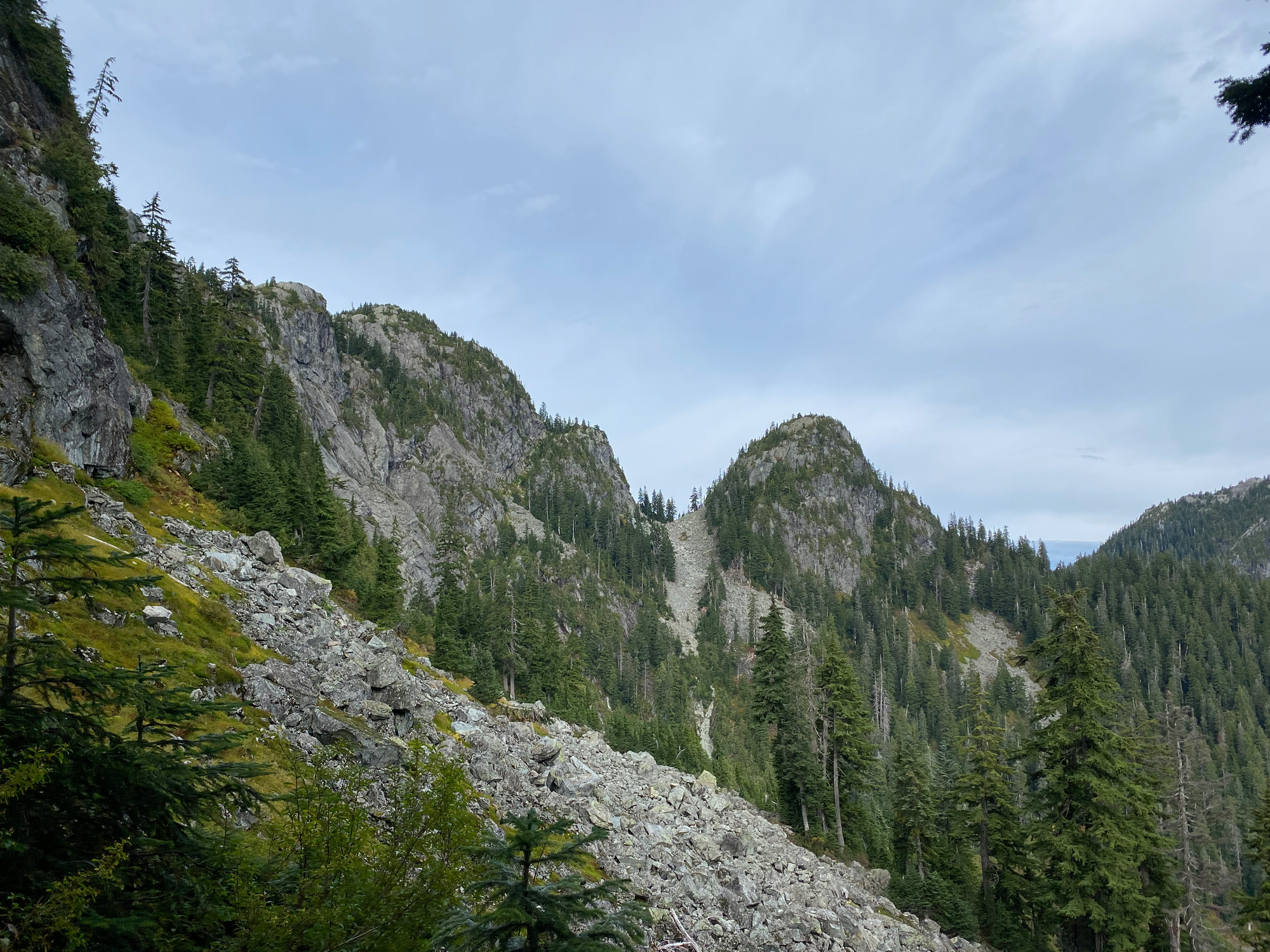
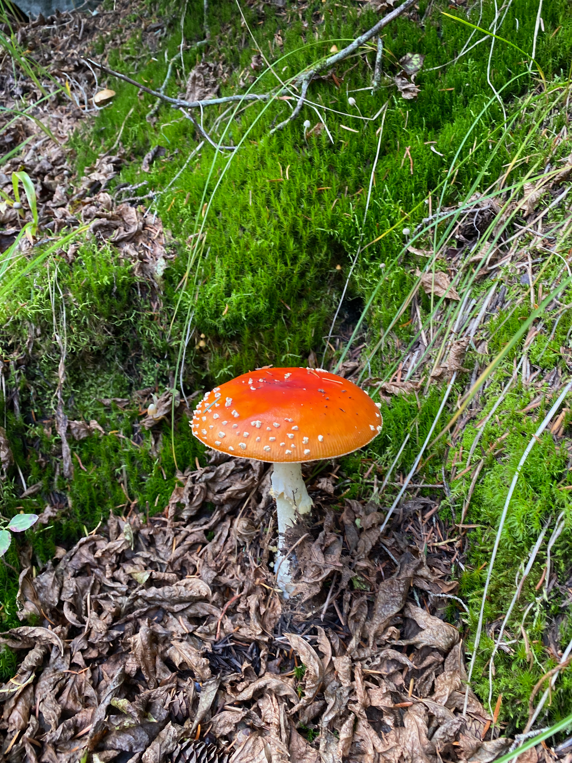
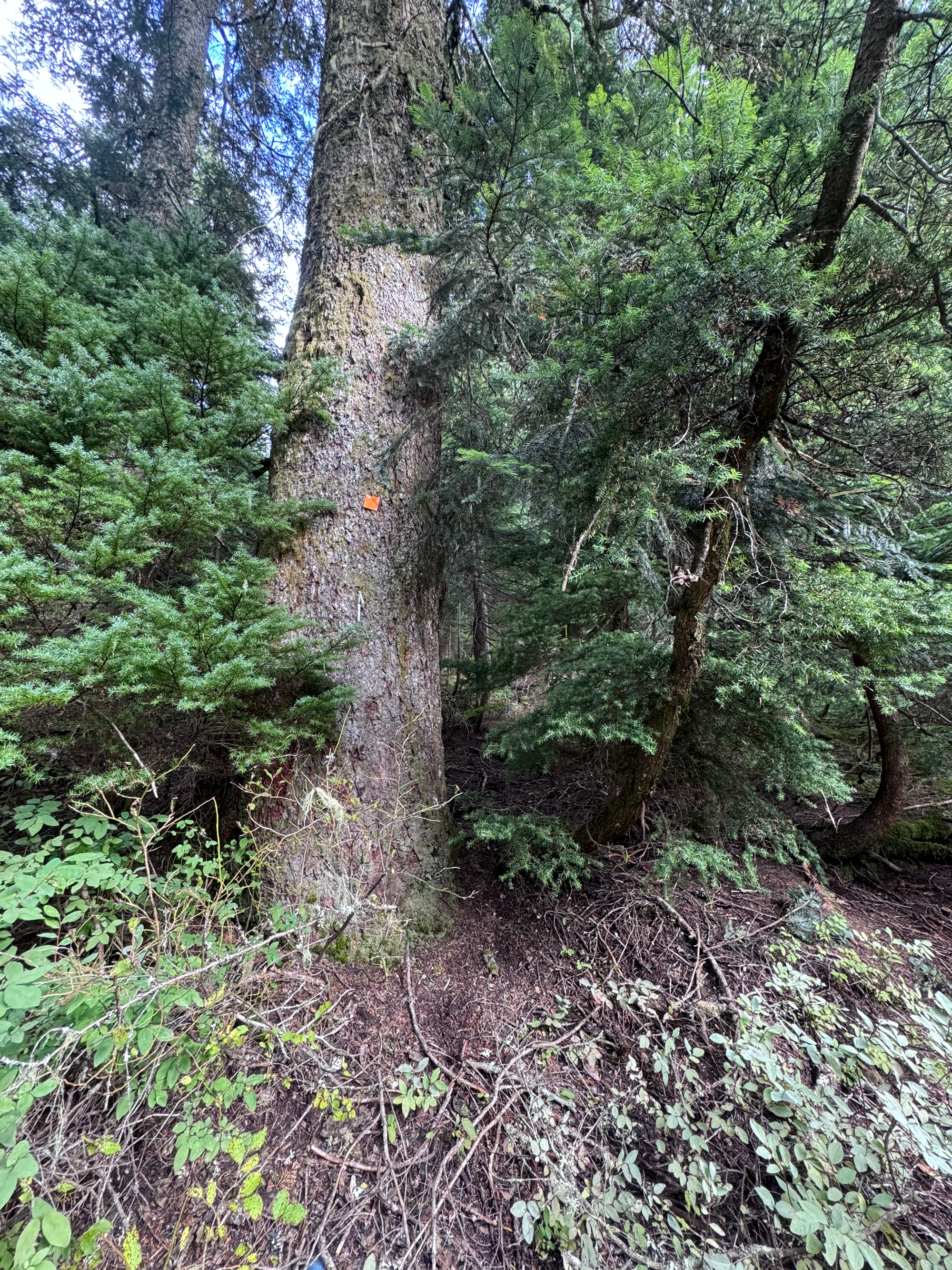
We left the Elsay Lake Trail once we reached the Coldwell ridge. The departure point was at a large spruce tree with an orange blaze, just past a short muddy section.
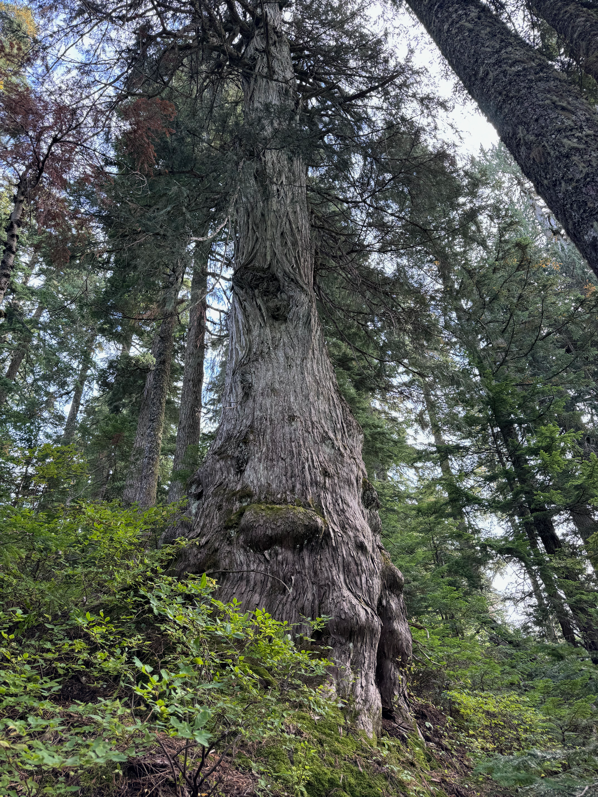
From there, we followed the ridge to the peak. I was expecting an annoying bushwhack, but the route really exceeded expectations. A faint flagged trail exists. The ridge is mostly old-growth, so the bushwhacking was relatively light to begin with, and some trail maintenance had been performed recently.

The true summit has a (very small) summit cairn and limited views to the north. To the south, a somewhat well-hidden bluff has a great view of Indian Arm, Buntzen Lake, Robie Reid, etc. We flagged the entrance to this bluff for future visitors.
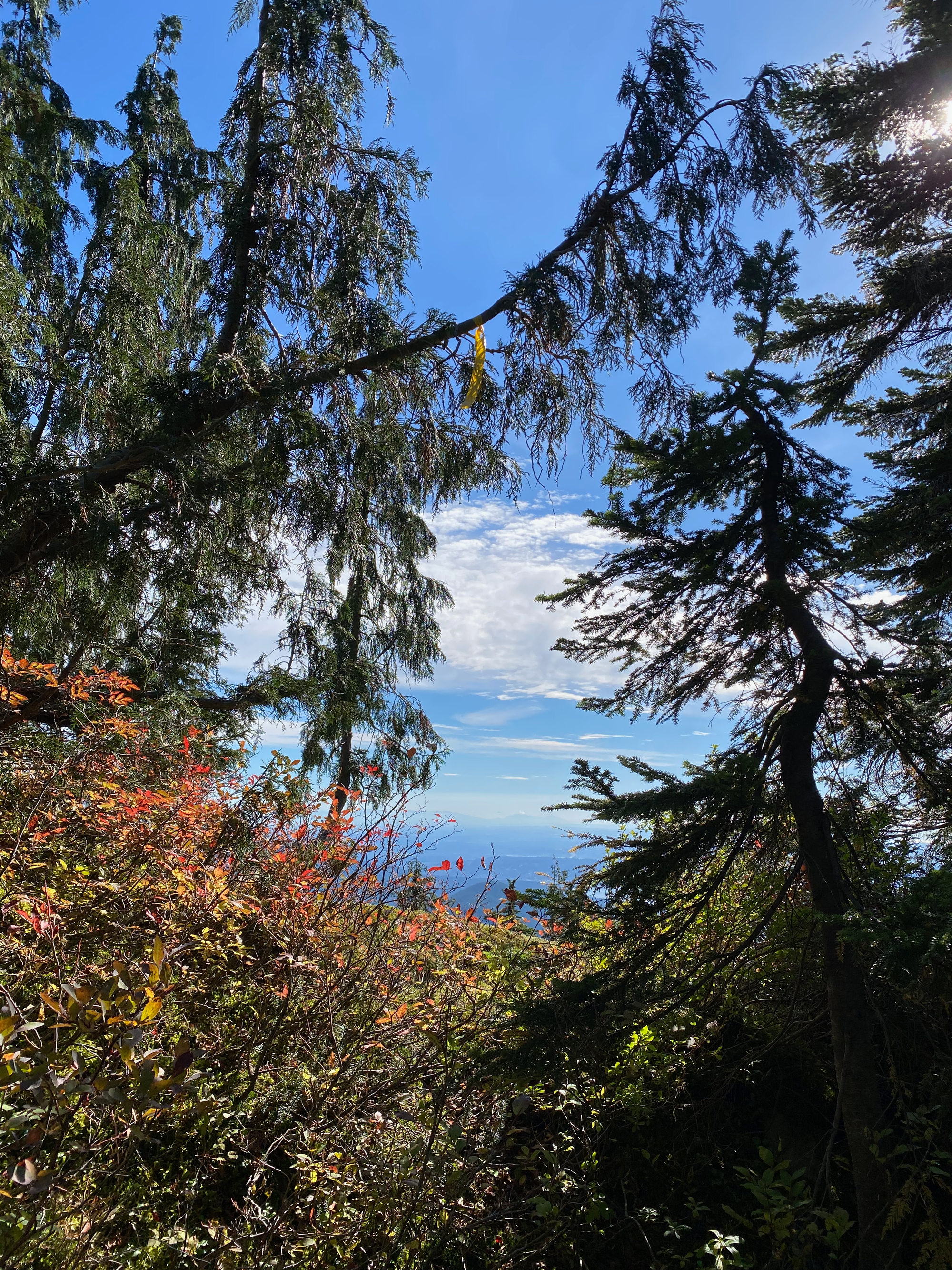
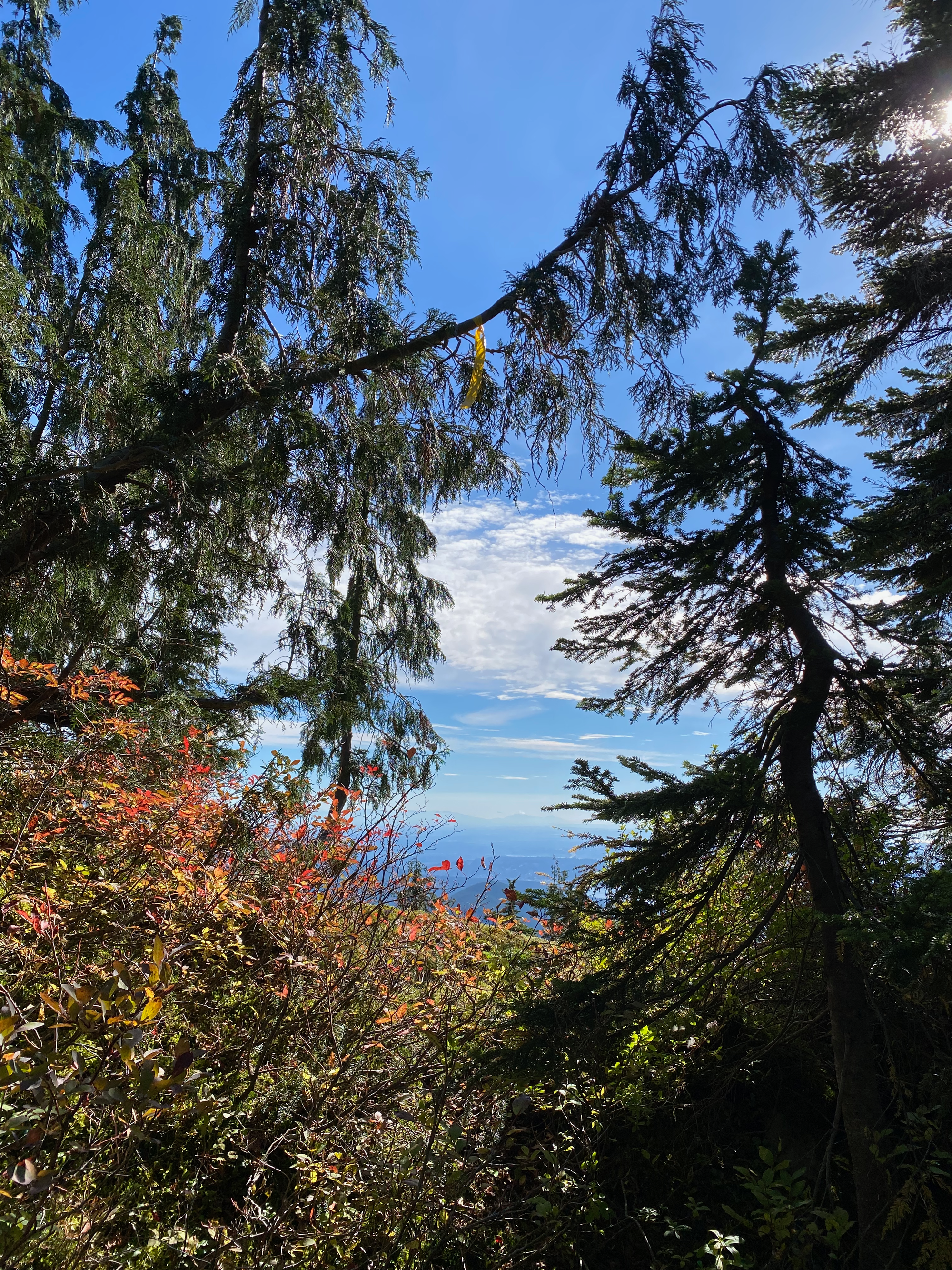

We returned to the main trail then headed south to the car, accidentally startling a pika on the boulder field. We made it home in time for dinner.
Overall, this route is a good way to get off the beaten path in a busy area, if you're comfortable with navigation away from established routes.


Member discussion