Cloudburst Mountain
May 9, 2024
Distance: 11.34 km (or more, depending on FSR)
Elevation gain: 1062 m
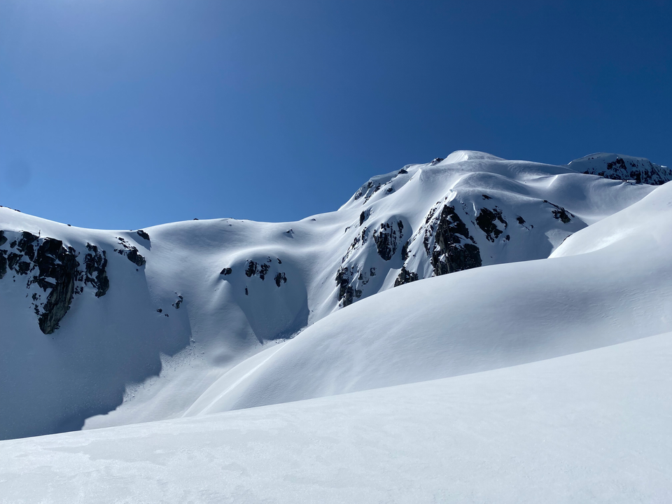
Cloudburst Mountain is located several kilometres north of Squamish. Because of its location between the Squamish and Cheakamus valleys, it is very prominent and offers panoramic views of most of the peaks in the Squamish area.
There are two routes: the typical summer route from the Squamish Valley, as described in Matt Gunn’s Scrambles in Southwest British Columbia, and the Cloudburst Bench route, often used by snowshoers and skiers in winter. I took the winter route. This route has several avalanche hazards and it was going to be a warm and sunny day, so I woke up very early. I had to feed my cat some medicine, which delayed things, and arrived at the trailhead at 7:30am, although an hour or two earlier would have been ideal.
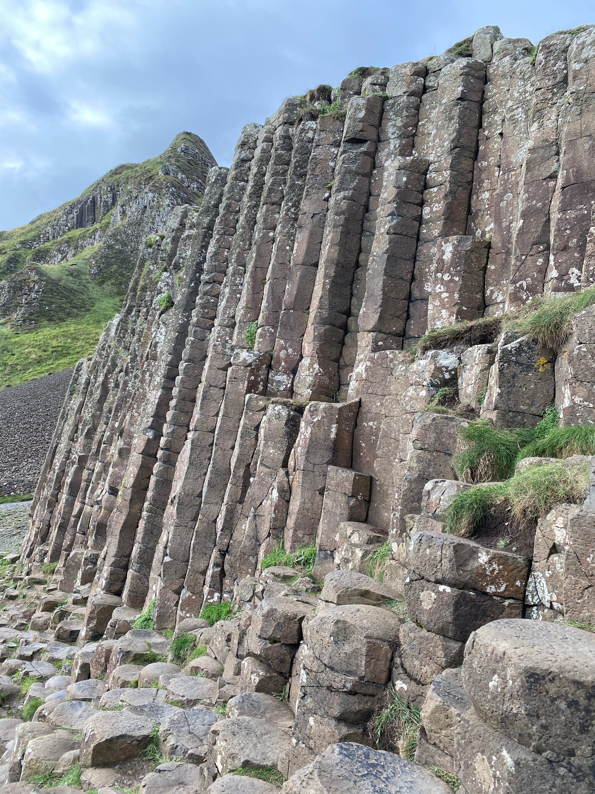
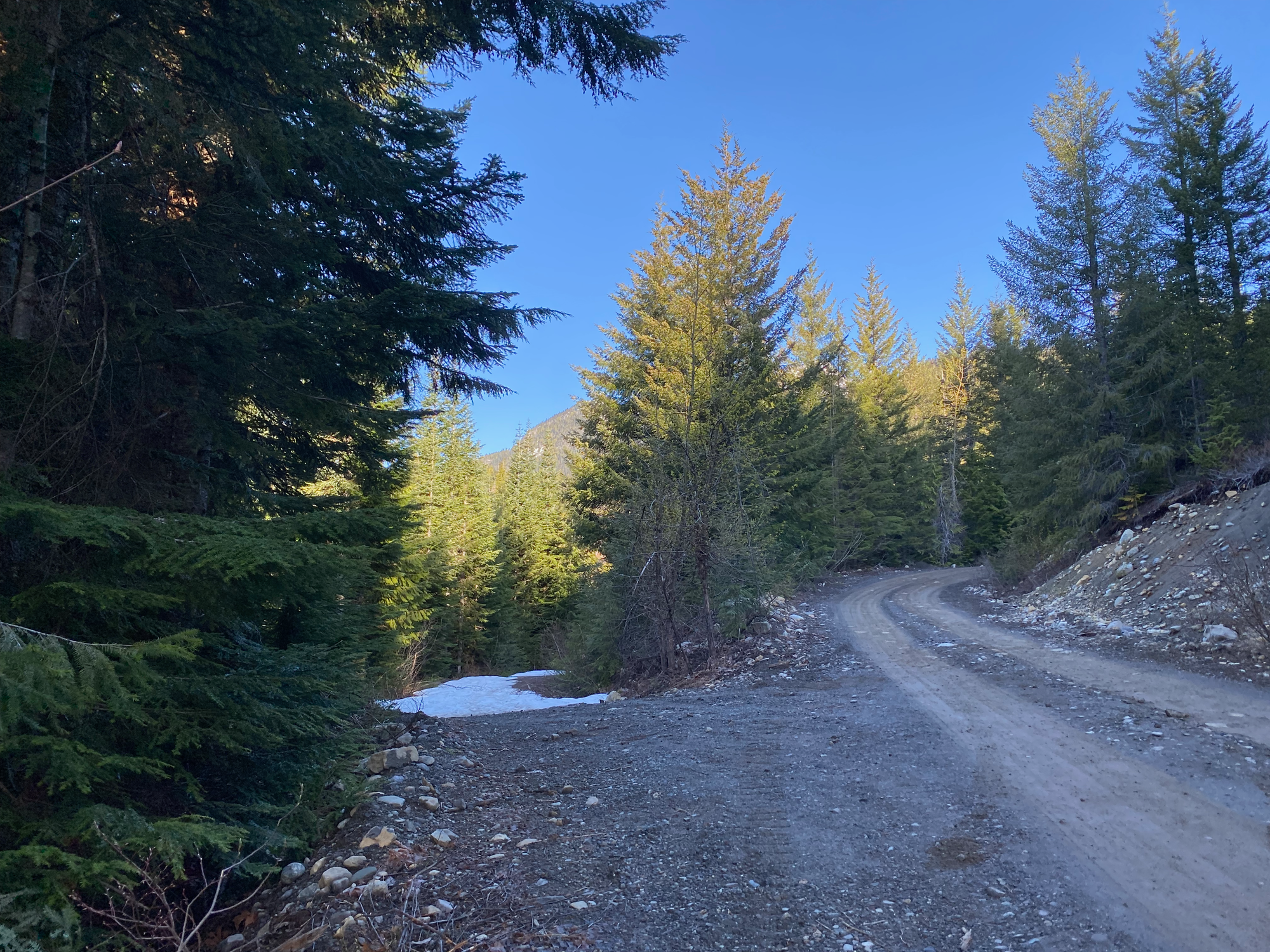
The winter route starts from the Cloudburst Branch of the Chance Creek FSR. Usually the road is snowed in, but I was able to drive all the way to the turnoff for the Cloudburst Branch. After four months out east, it was great to drive the Sea-to-Sky Highway again. Active logging is taking place on the Chance Creek FSR and at one point I had to pull over to let logging trucks pass. Because of the logging, the road was in good shape and some 2WD cars might be able to make it to where I stopped. At one point along the road, there are some interesting basalt rock formations, but they’re right next to a blind corner so I didn’t take a photo.
The Cloudburst Branch was still covered in snow so I parked at a pullout before the turnoff. The route follows a deactivated logging road for 300 m, passing a mine site, then branches off to the southeast on another abandoned road. In the winter there are usually tracks here, but all the snow at this level had melted, so this road was an alder-choked mess. After about 100m the route leaves this road, but the turnoff isn’t obvious. Steven Song’s GPX track was very helpful here. I see why no one does this route in the summer!
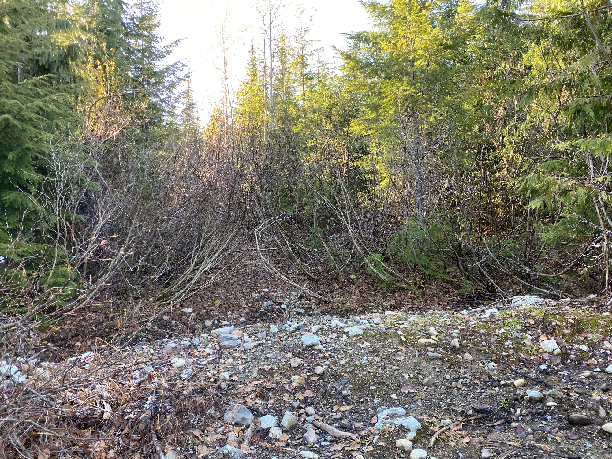
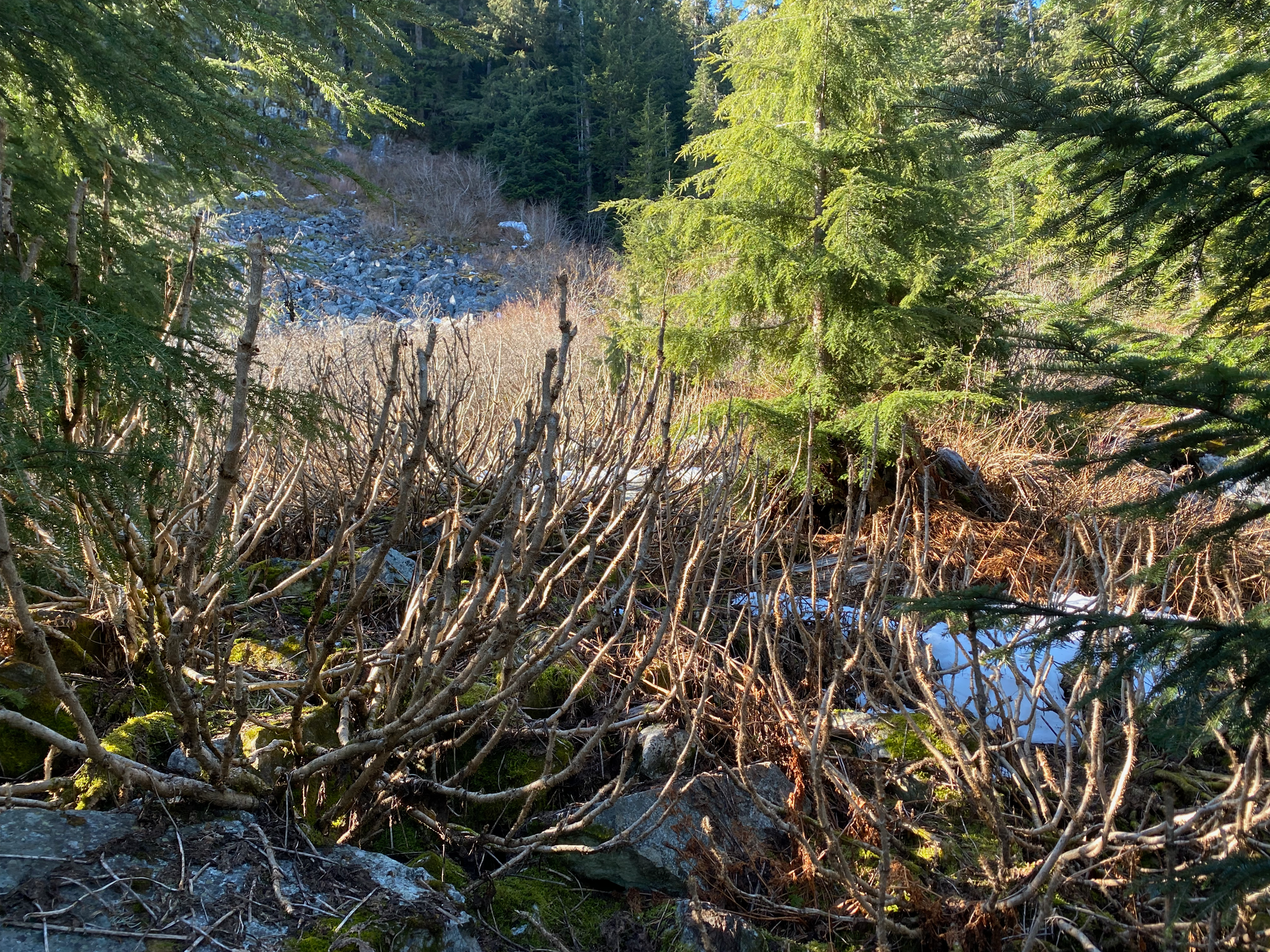
After about a kilometre or so the bushes became much less dense and bushwhacking was easier. There were a couple scattered flags. At about 1050m the snow became continuous so I strapped my snowshoes on and followed some old ski tracks. The route traverses some bluffs, winds across a plateau, then follows a creek valley. Some creek crossings on snow bridges were needed.
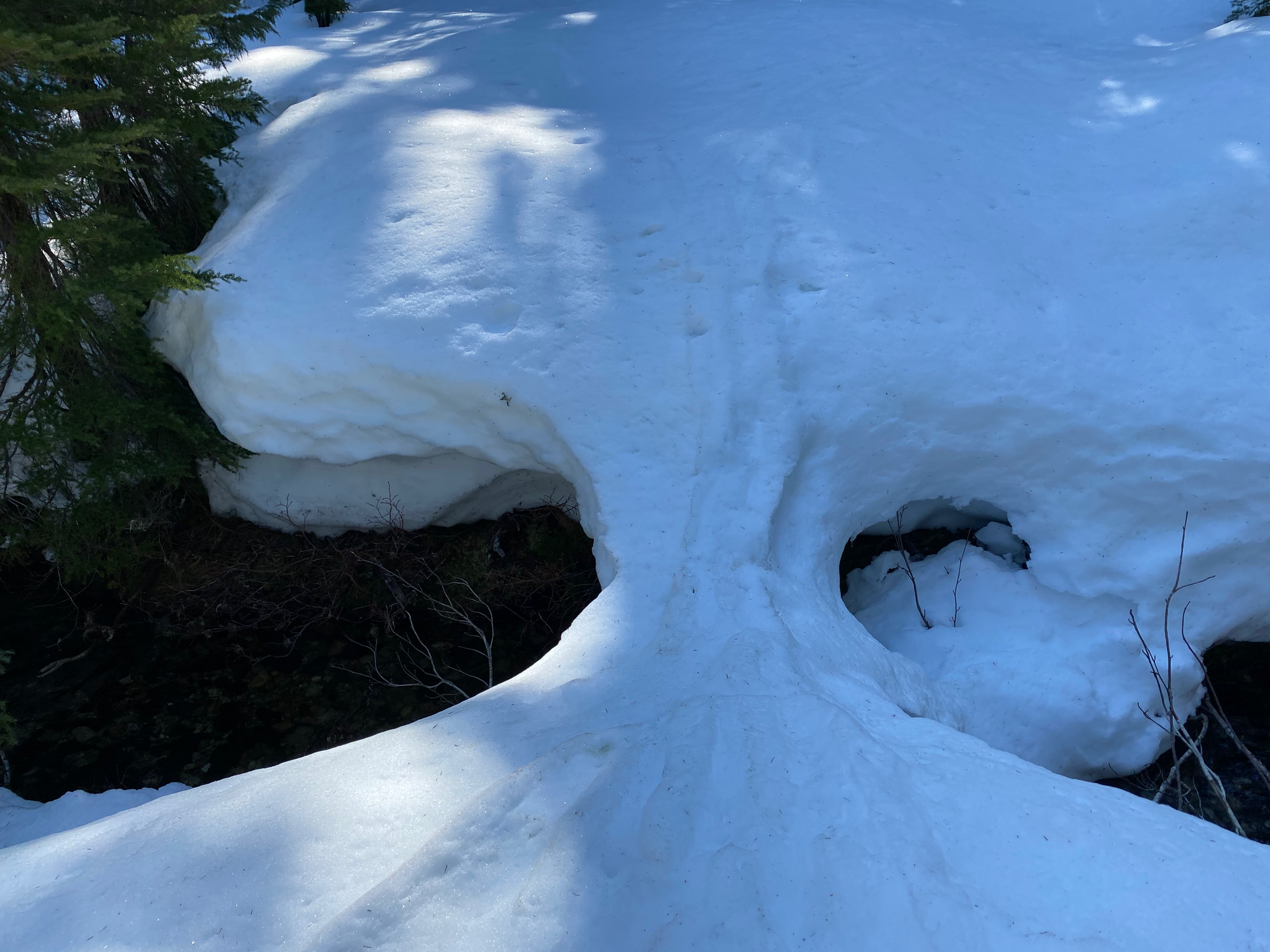
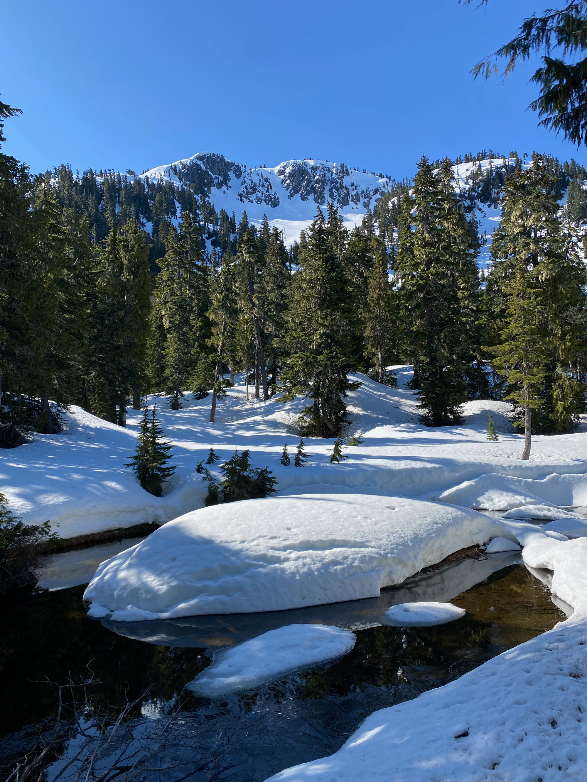
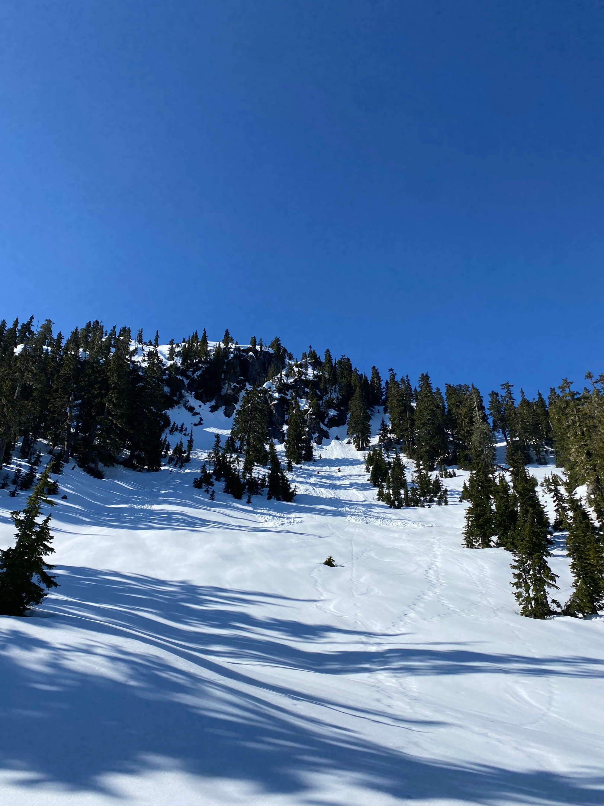
At about 1200 m the route entered a bowl, then climbed out of it into the alpine to the southwest. I kept following some tracks until they disappeared, then picked a route to the summit ridge. The route ascends a series of slopes and ridges to join the summit ridge at its northern end. There was one section where an ice axe was needed, but I got away with snowshoes for the ascent and descent. The ridge was heavily corniced on its western side. Once on the ridge, I walked along significantly softer snow to the summit, which has two green radio repeater towers.
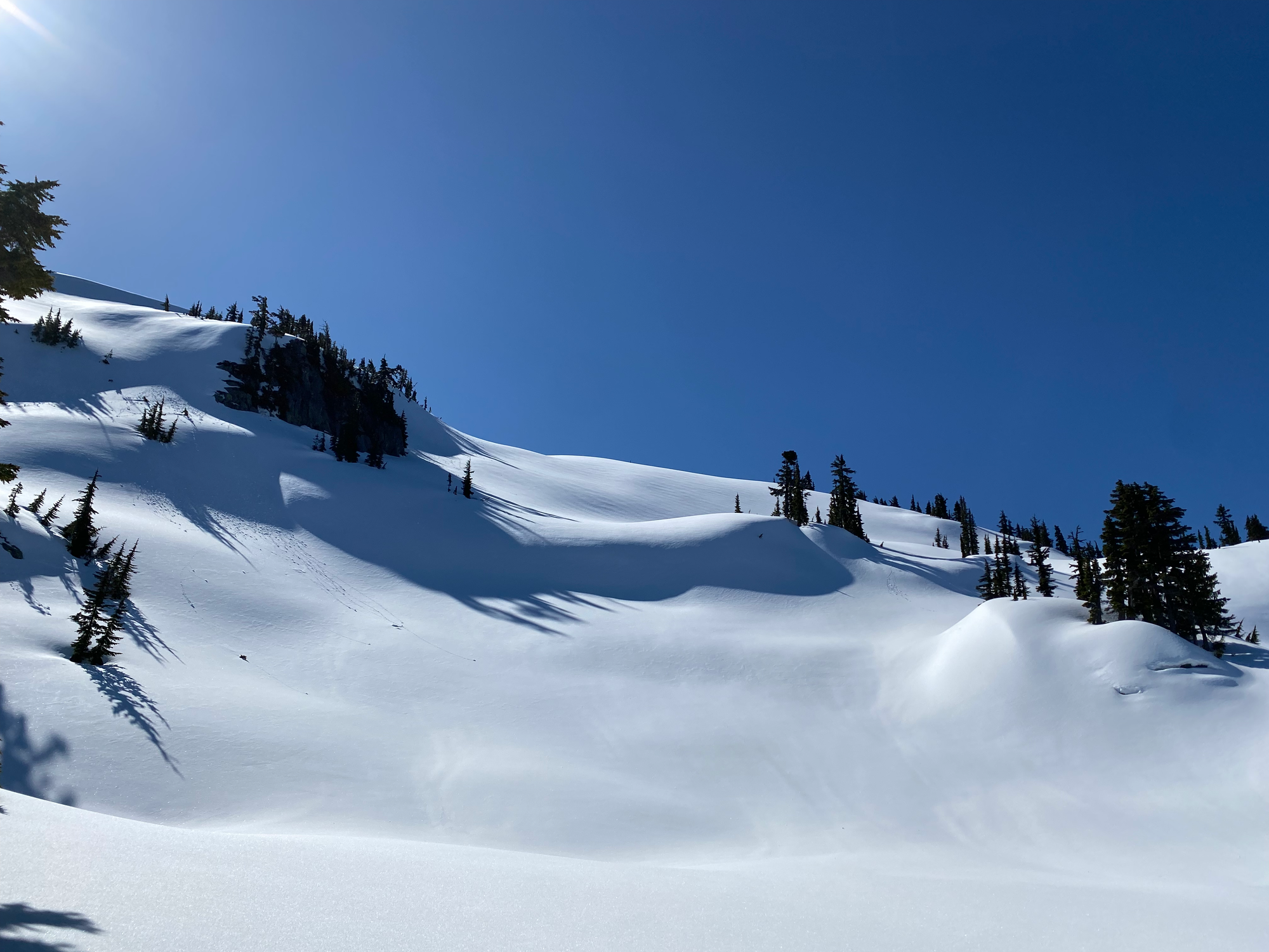
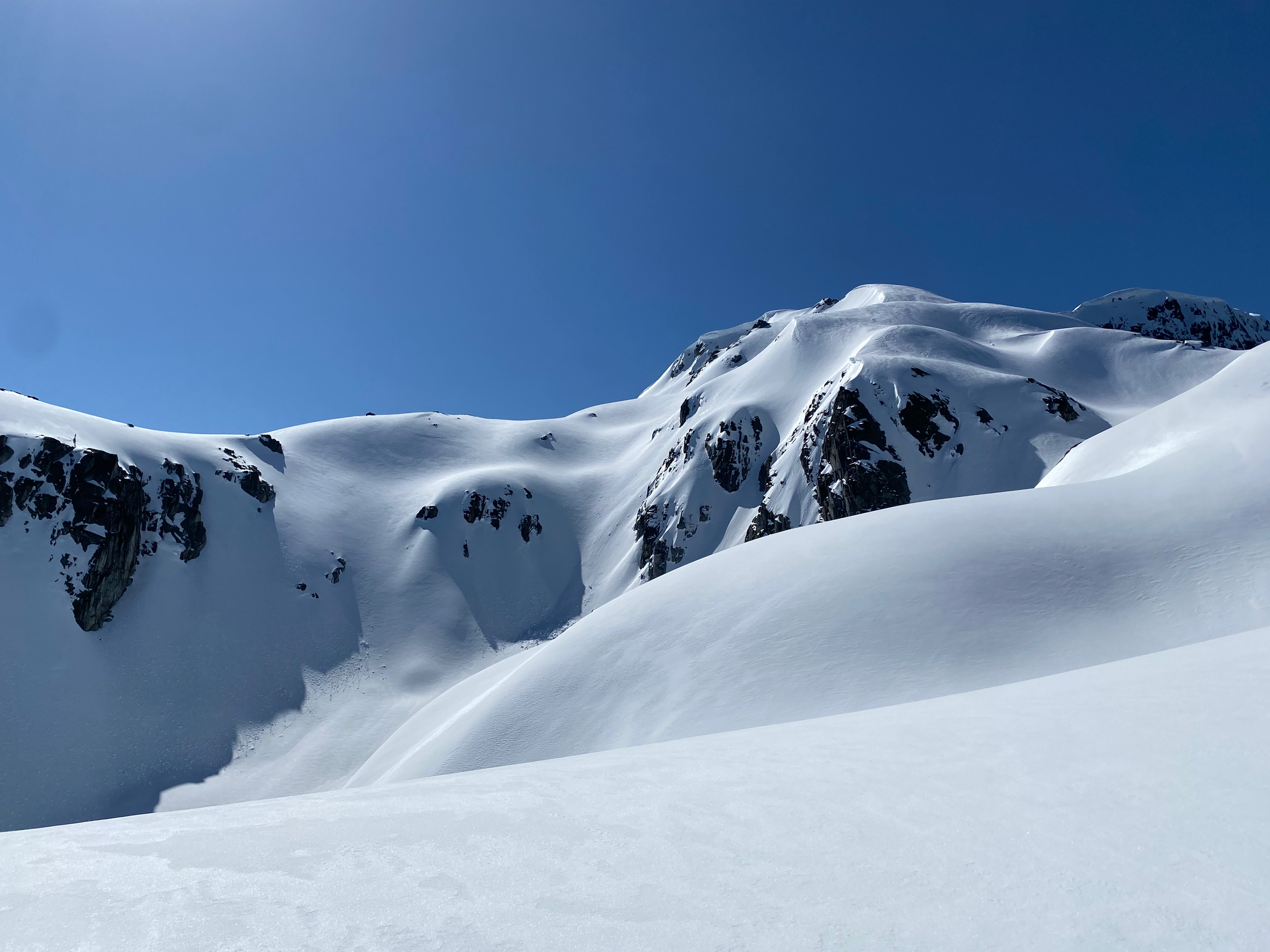
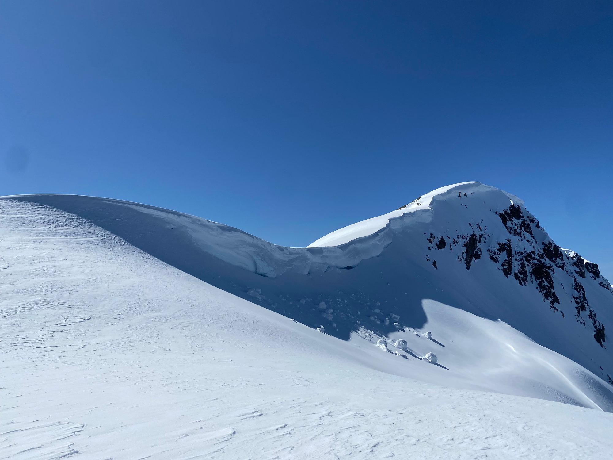
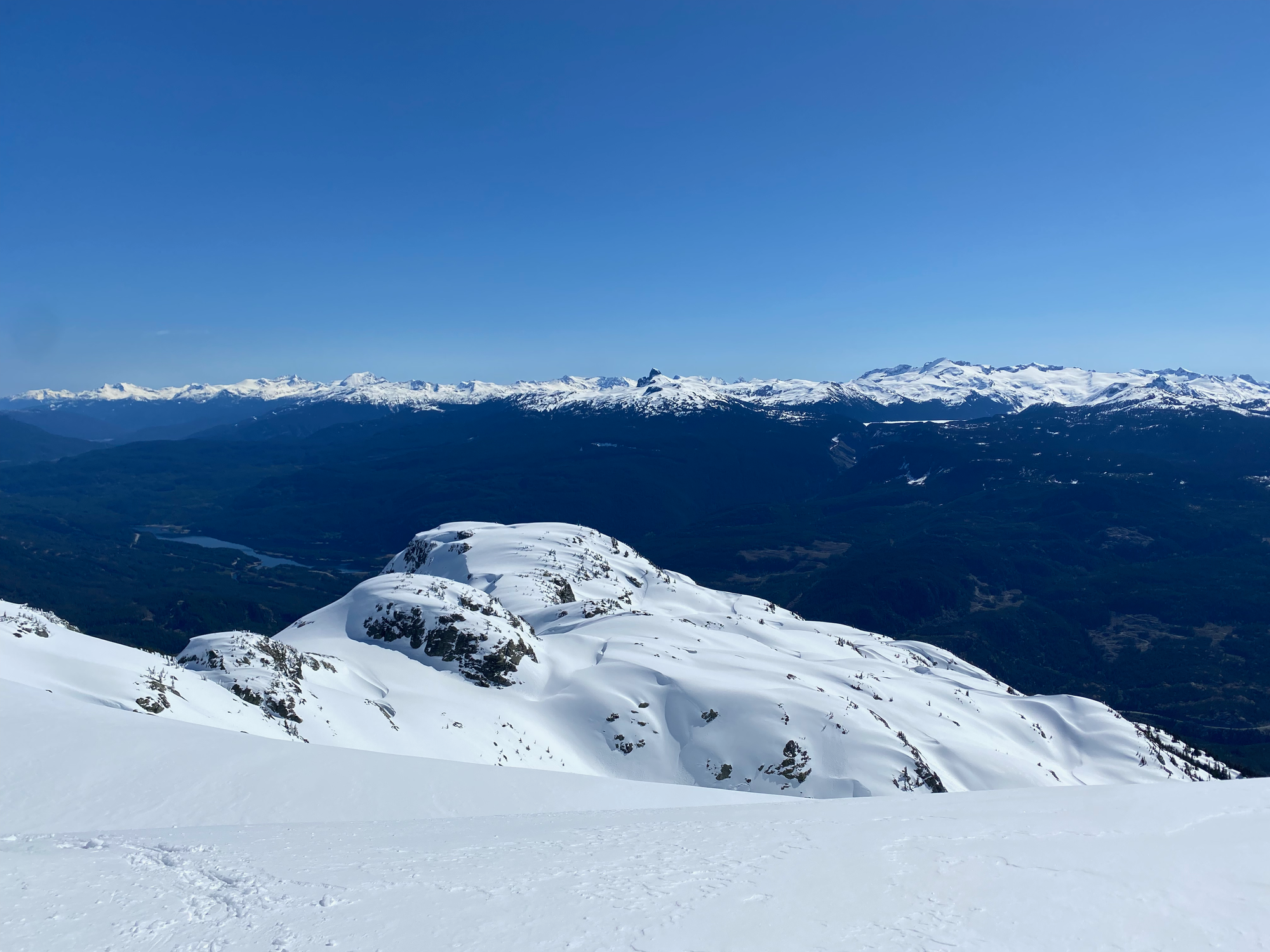
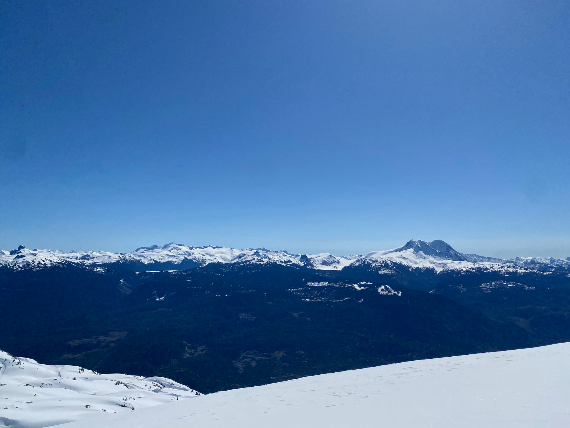
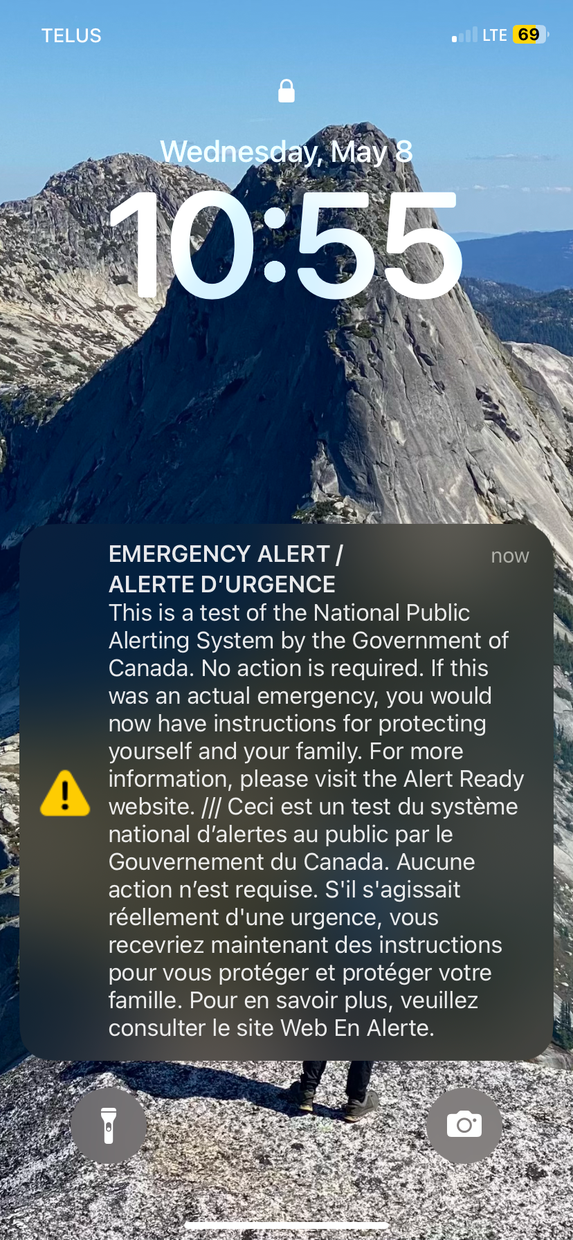
From the summit, I admired the views of the Tantalus Range and Garibaldi Park. While there, the government decided to test their emergency alert system, giving me a surprise.
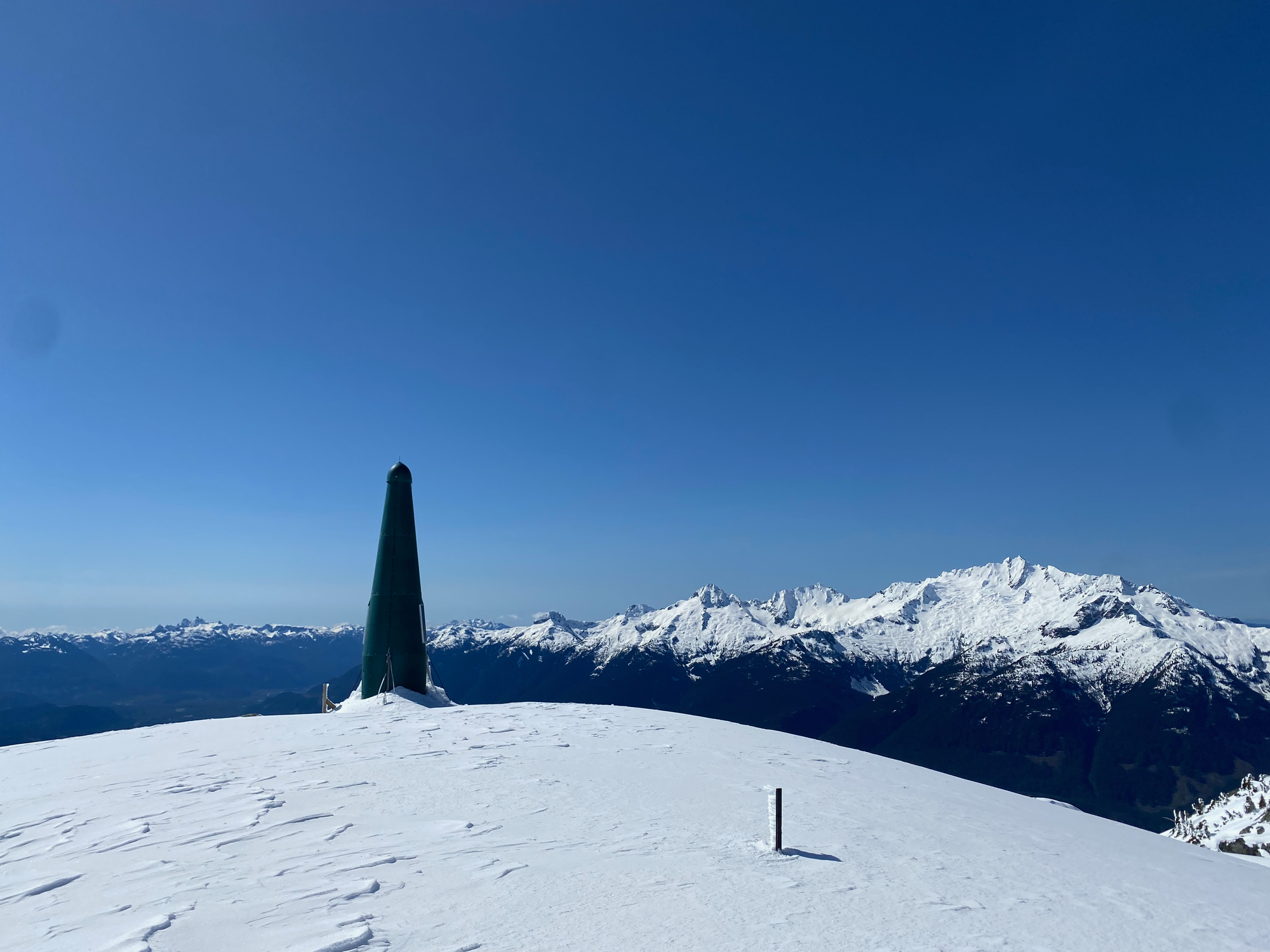
It was warming up so I didn’t want to linger. The snow was much softer on the descent. On one southeast-facing slope at 1600m I heard a whumphing sound, a sign to get off the mountain quickly. It was a relief to get below treeline. The bushwhack was annoying, but it was over quickly, and I drove home.


Member discussion