Chubedishi
Date: June 5, 2024
Distance: 16km
Elevation gain: 1016m
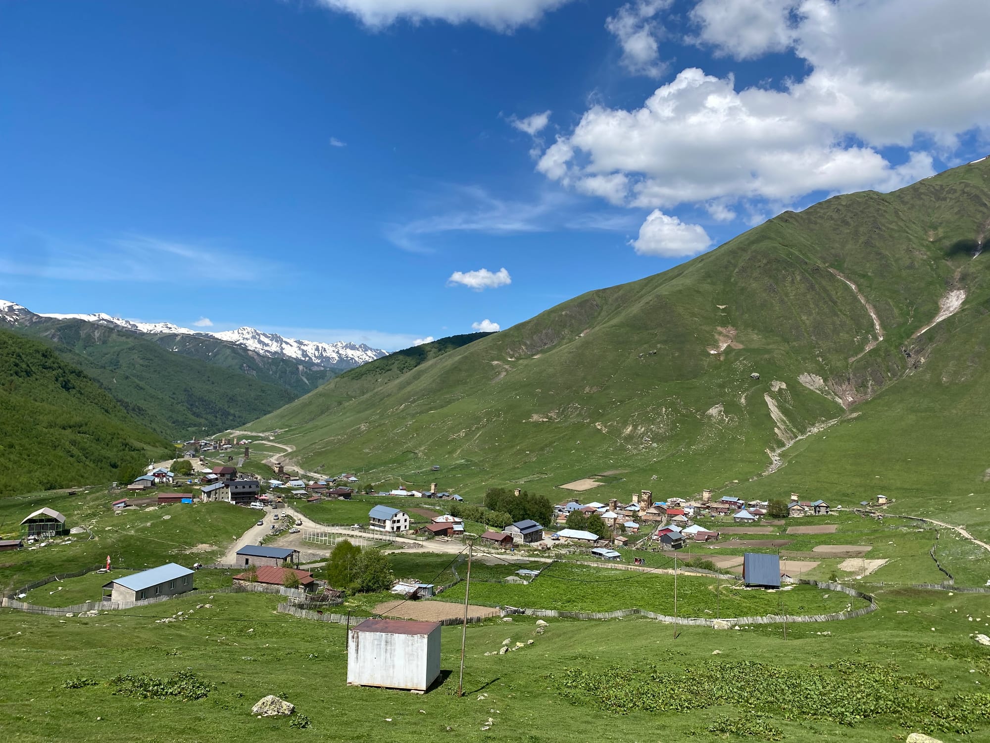
Chubedishi, or “Chubedeesh” in the local dialect, is a mountain rising above the village of Ushguli. This hike is a great addition to the popular Mestia-Ushguli trek.
Most people hike to the viewpoint immediately above the village (3.7 km one way: https://www.caucasus-trekking.com/treks/ushguli-to-chubedishi) I wanted to do a loop connecting Chubedishi to the Shkara glacier trek (24 km: https://www.outdooractive.com/mobile/en/route/mountain-hike/georgia/chubedishi-3084-m-from-to-ushguli/800306743/) but it being early June, there was too much snow to make this feasible. Instead I walked from Ushguli to the high point of the ridge, descended to the main road, and returned to Ushguli that way.
The trail to the viewpoint is well-defined and starts at the southeastern corner of the village. This section is a relentless grind with increasingly good views of Ushguli and the surrounding mountains. Snow patches began below the viewpoint.
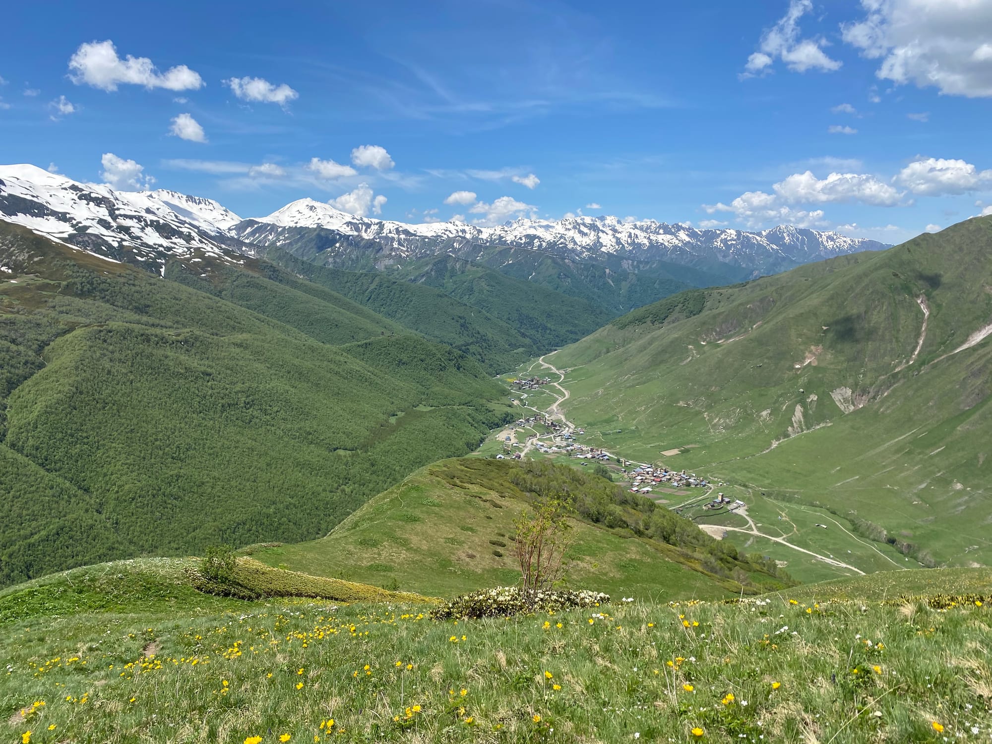
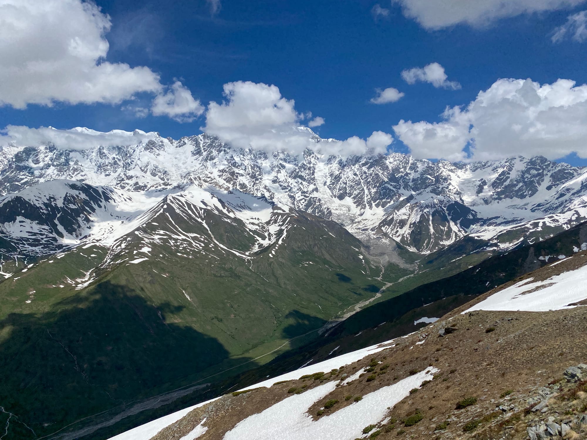
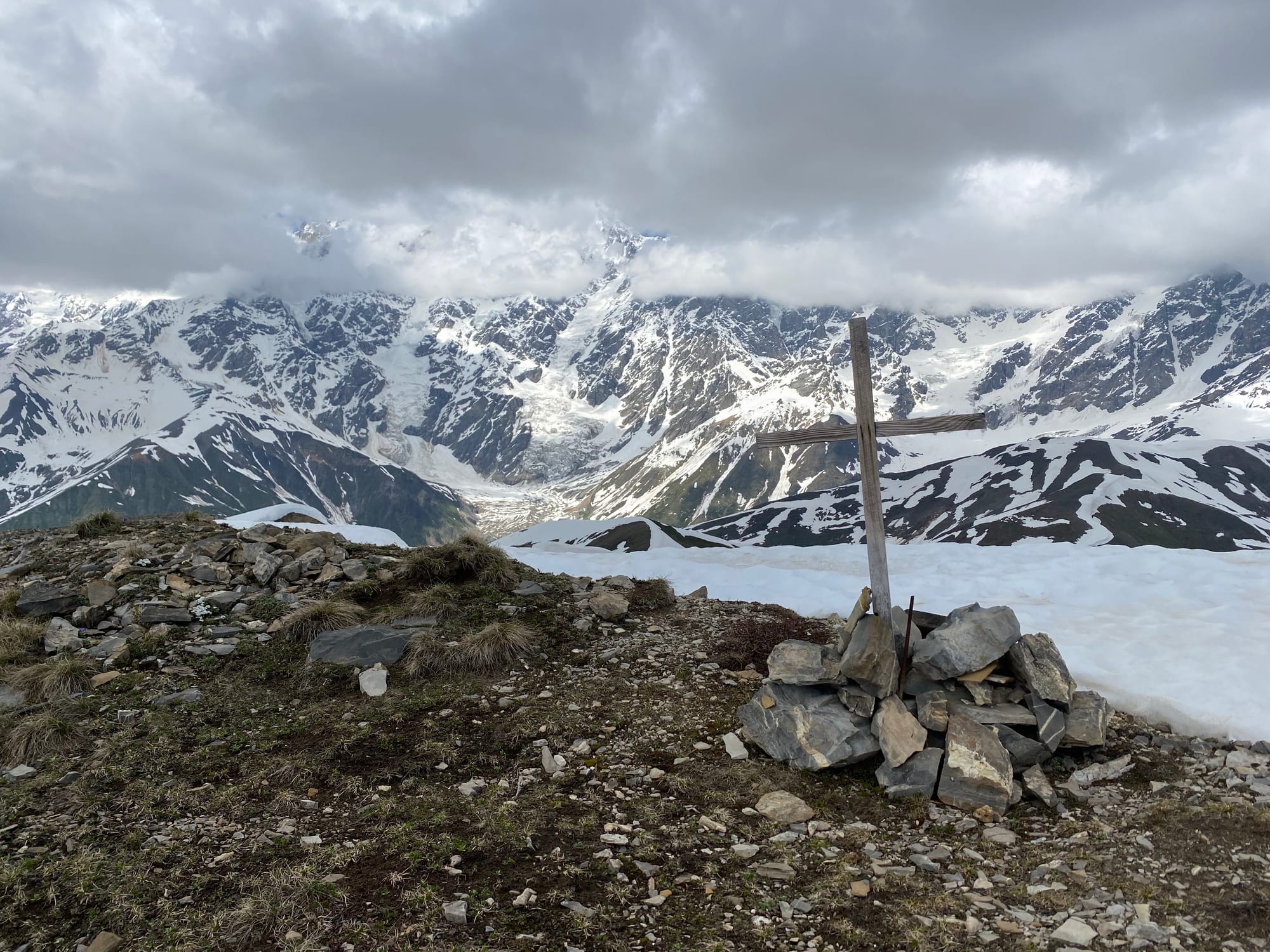
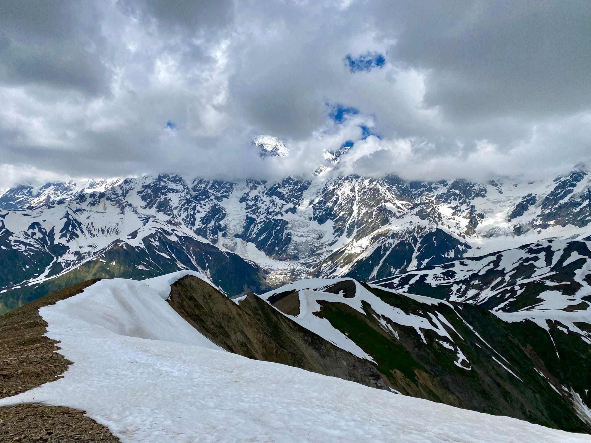
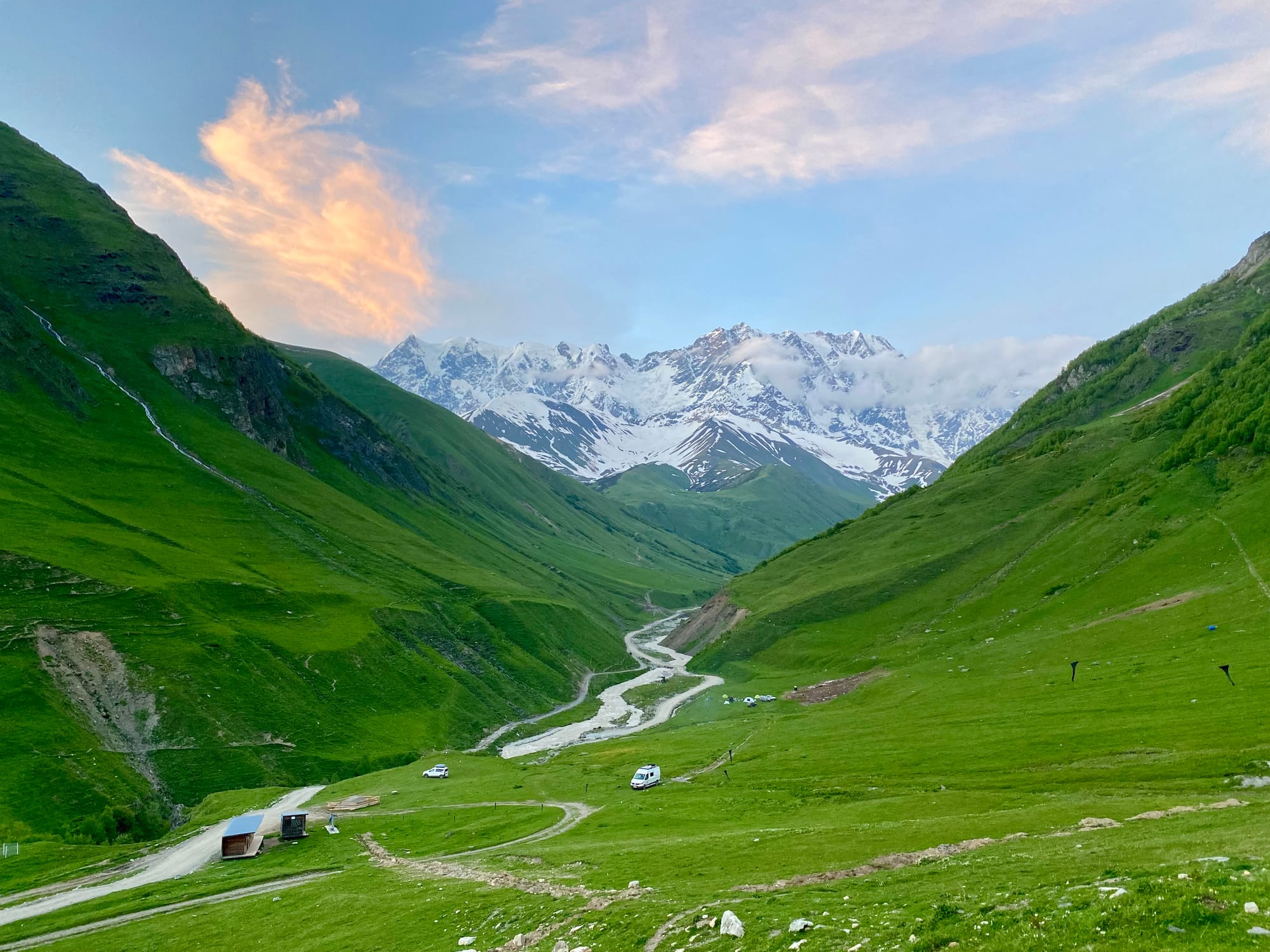
Eventually I reached the viewpoint, marked by several cairns. To the north there were tremendous views of the Khalde Wall, a series of mountains 12 kilometres long and rising over 2000m above the valley floor, including Shkhara, Georgia’s highest point. I had lunch here and took in the views.
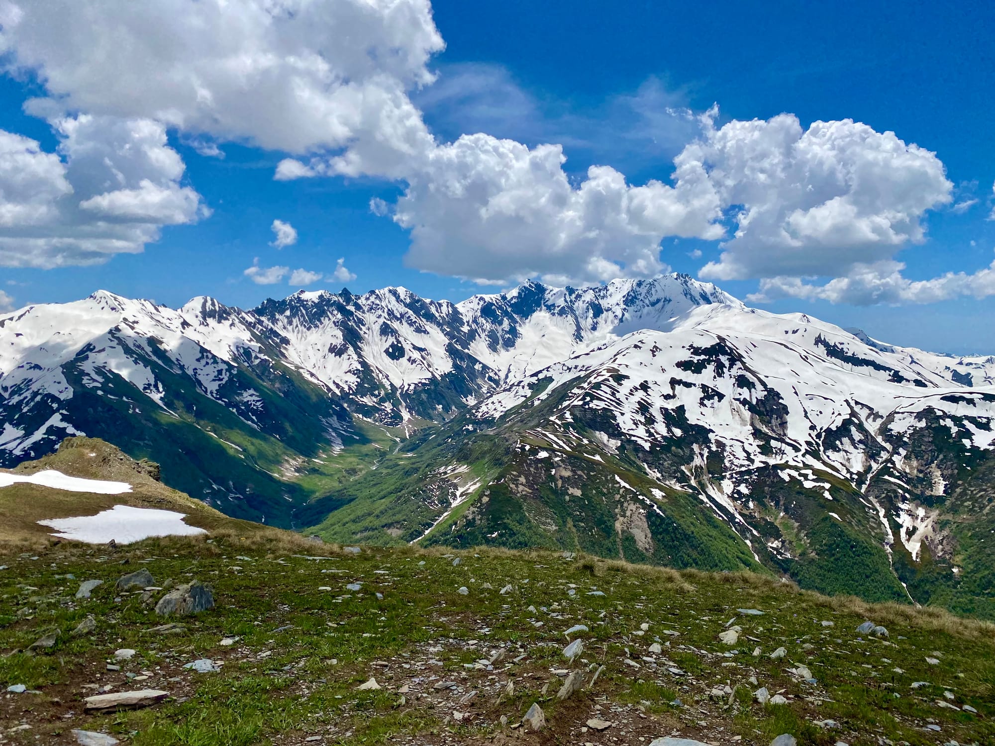
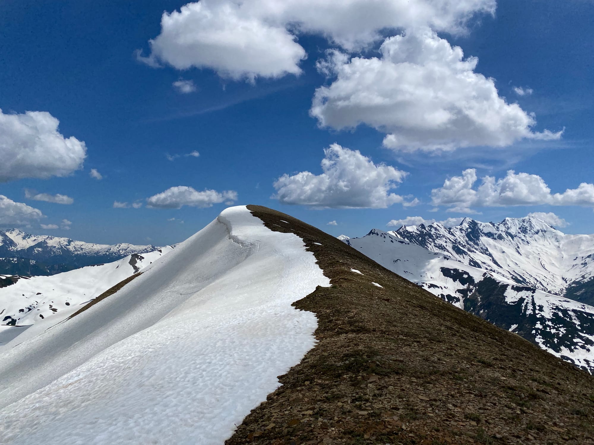
The ridge continues east for several kilometres, getting closer to the wall. This would be a straightforward ridge walk in the summer, but in early June there was enough snow to make things difficult. If I had snowshoes or spikes this would have been much easier. I wouldn’t recommend this hike without some sort of traction.
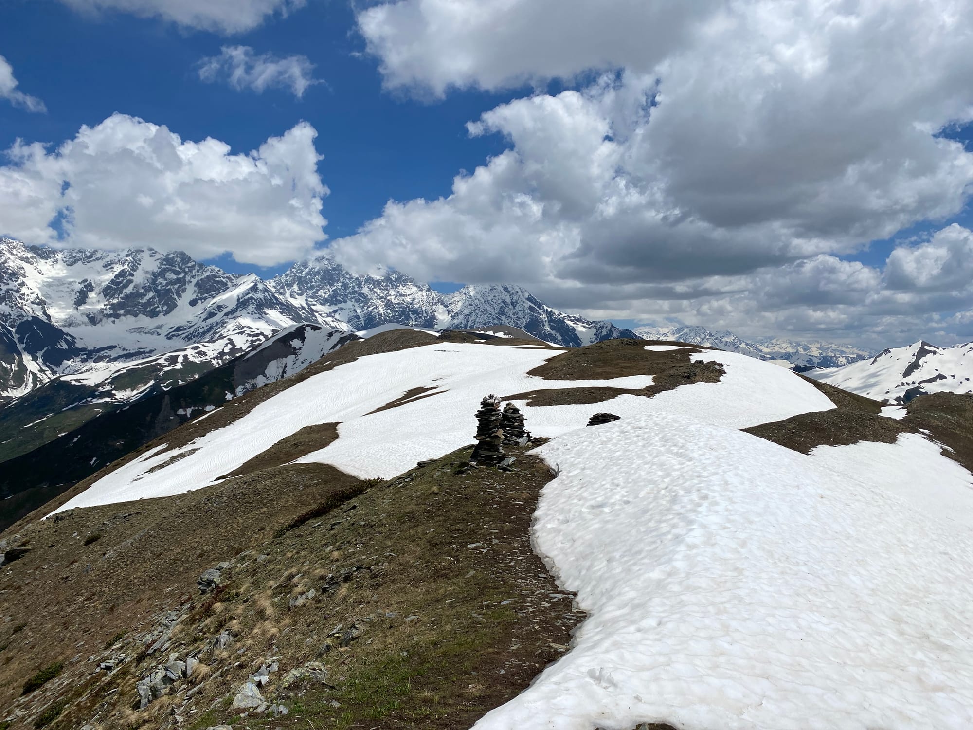
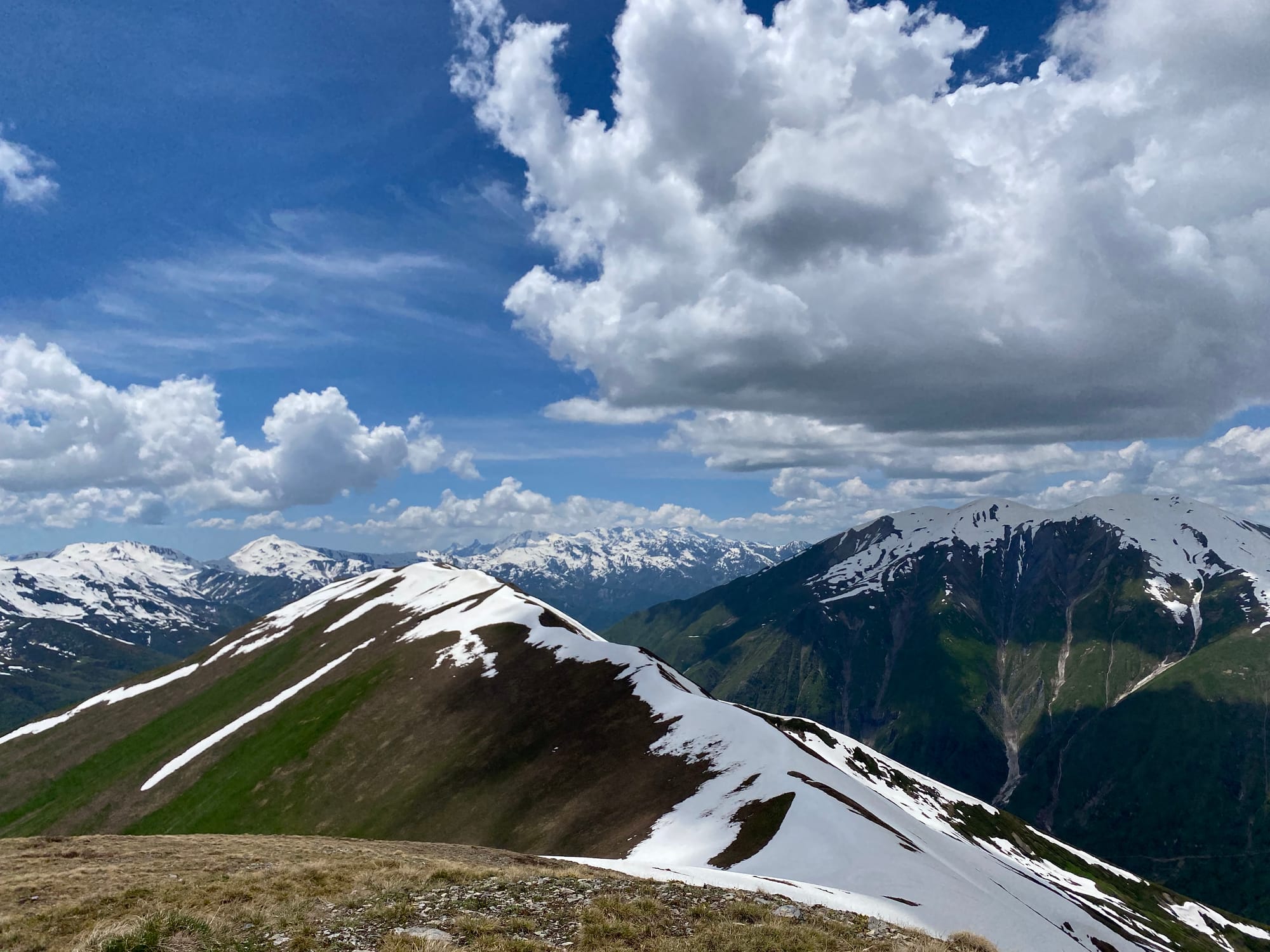
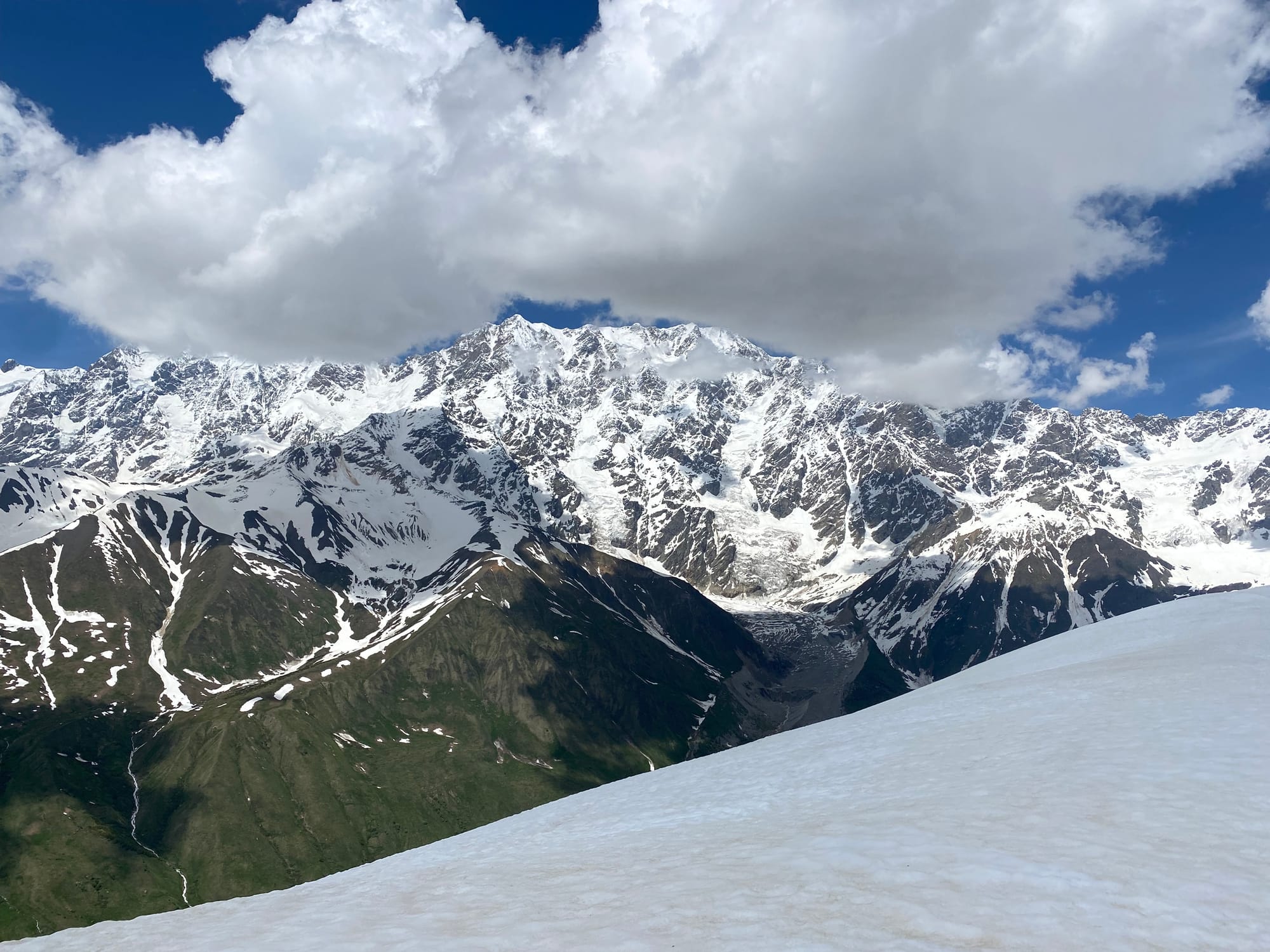
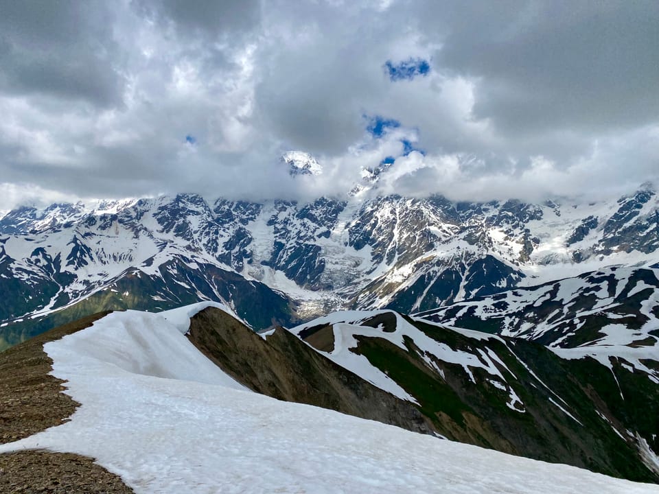
The ridge is named after Chubedishi Mountain, but it's not clear where that mountain is located. Most maps refer to a 3015m bump in the ridge as “Chubedishi”, but there is a much taller and more prominent mountain 1.5km to the south at (42.927129, 43.091035). I went to the high point, which branches off the ridge to the south. The views were excellent, although clouds were rolling in, and there was a cross on the summit.
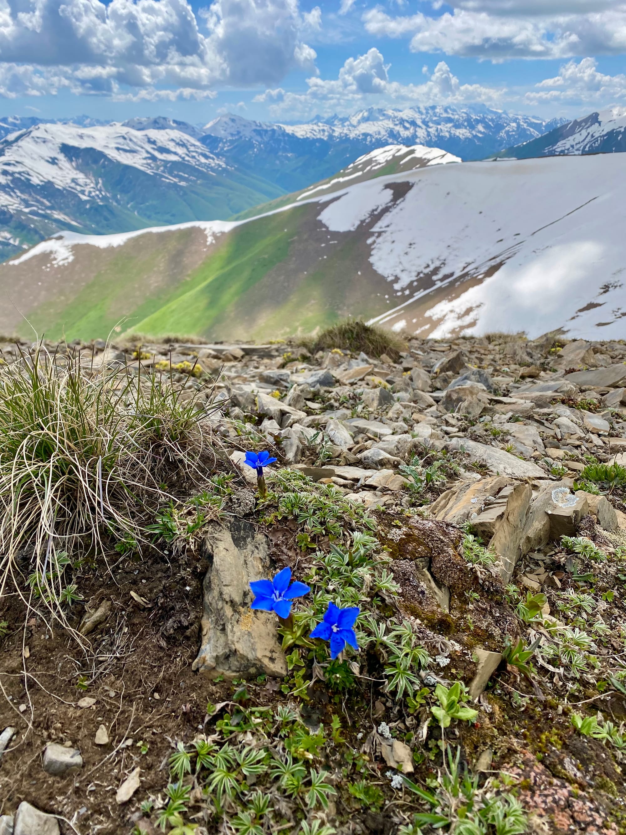
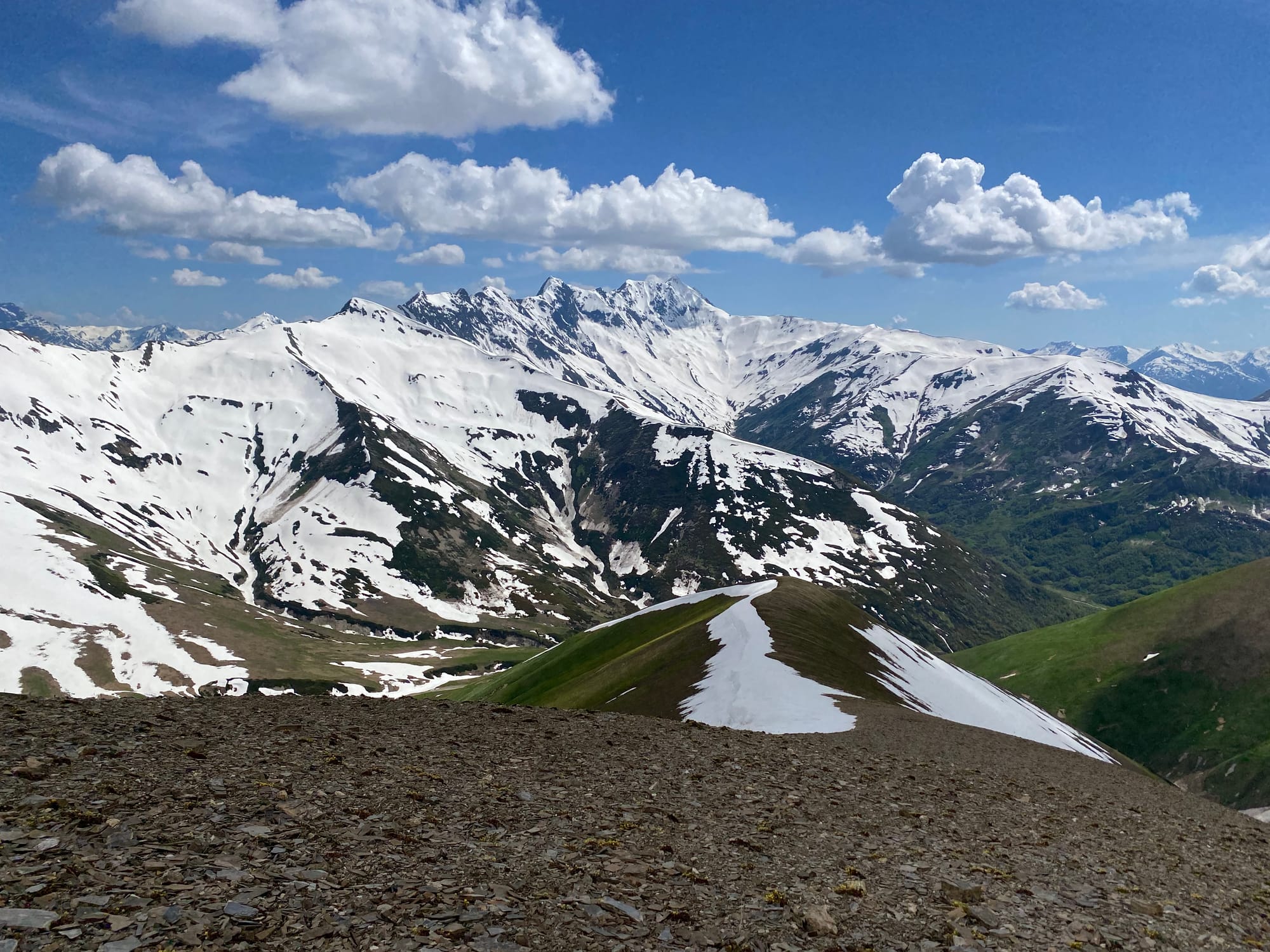
From the high point two ridges descend to the main road. The usual route descends the eastern ridge to the Zagari pass, but the western ridge was snow-free, so I took my chances there. After a steep descent I made it to the main road.
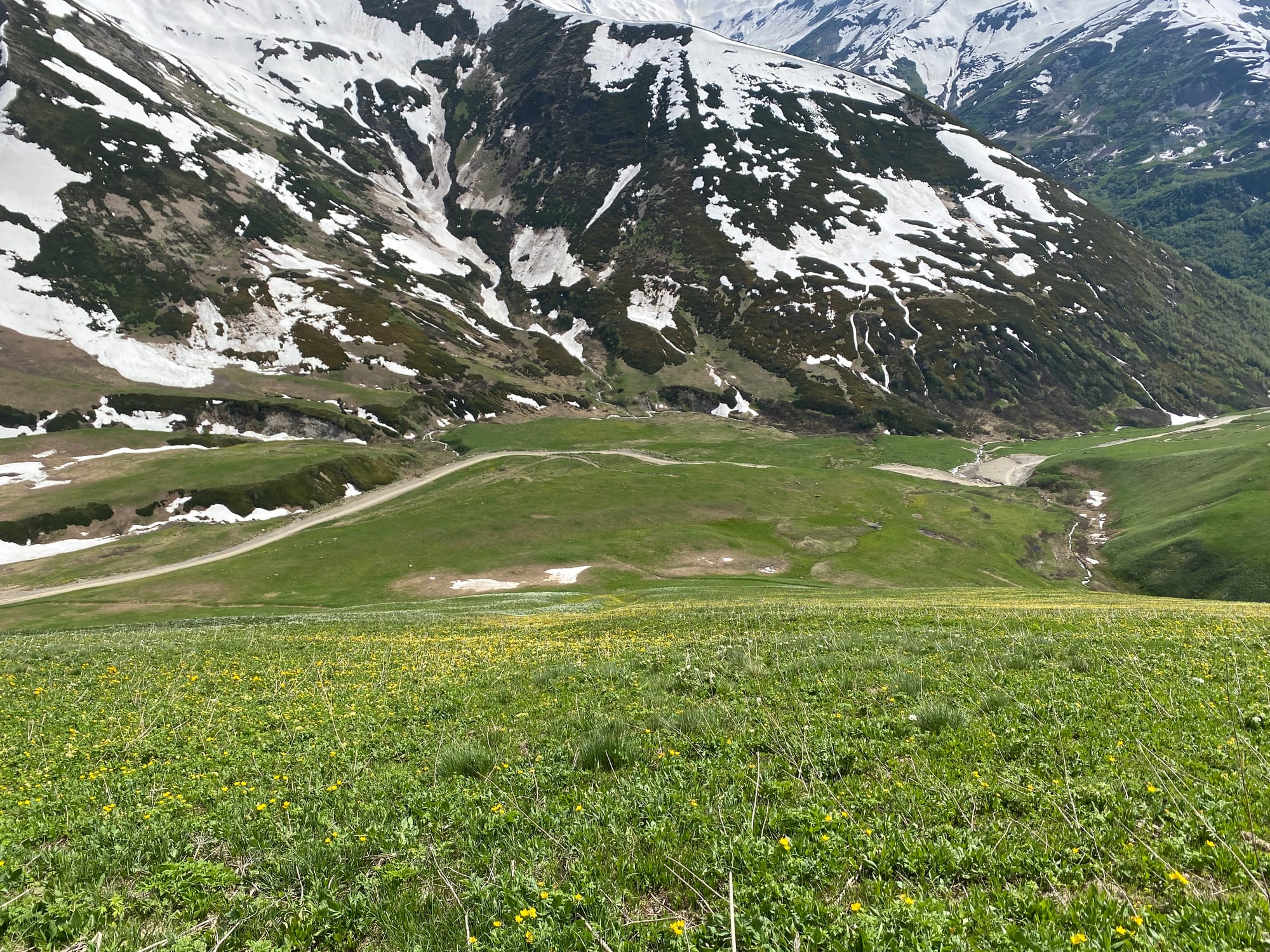
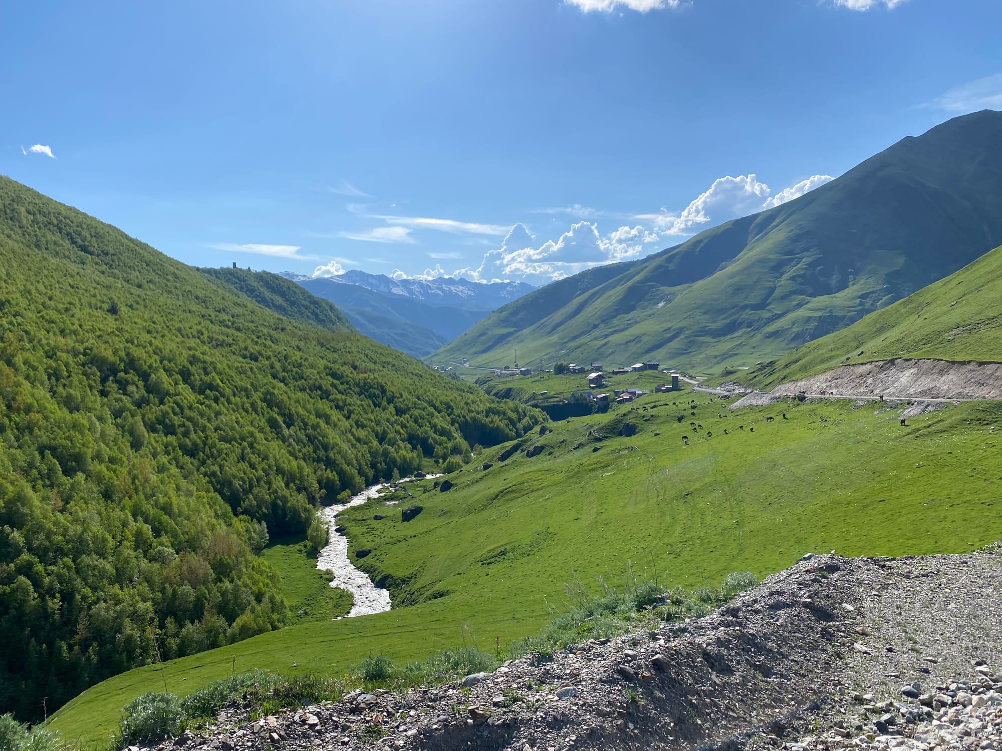
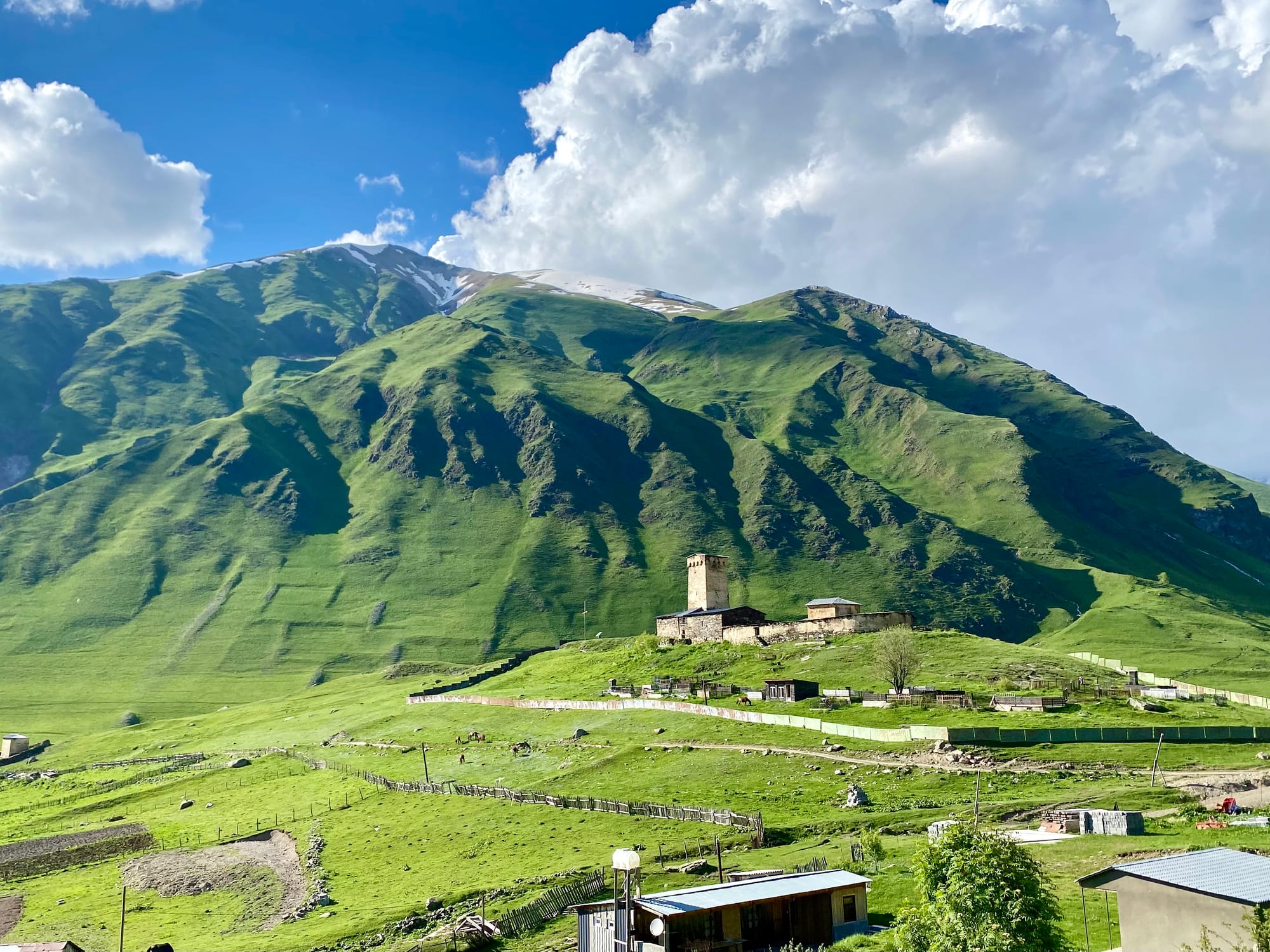
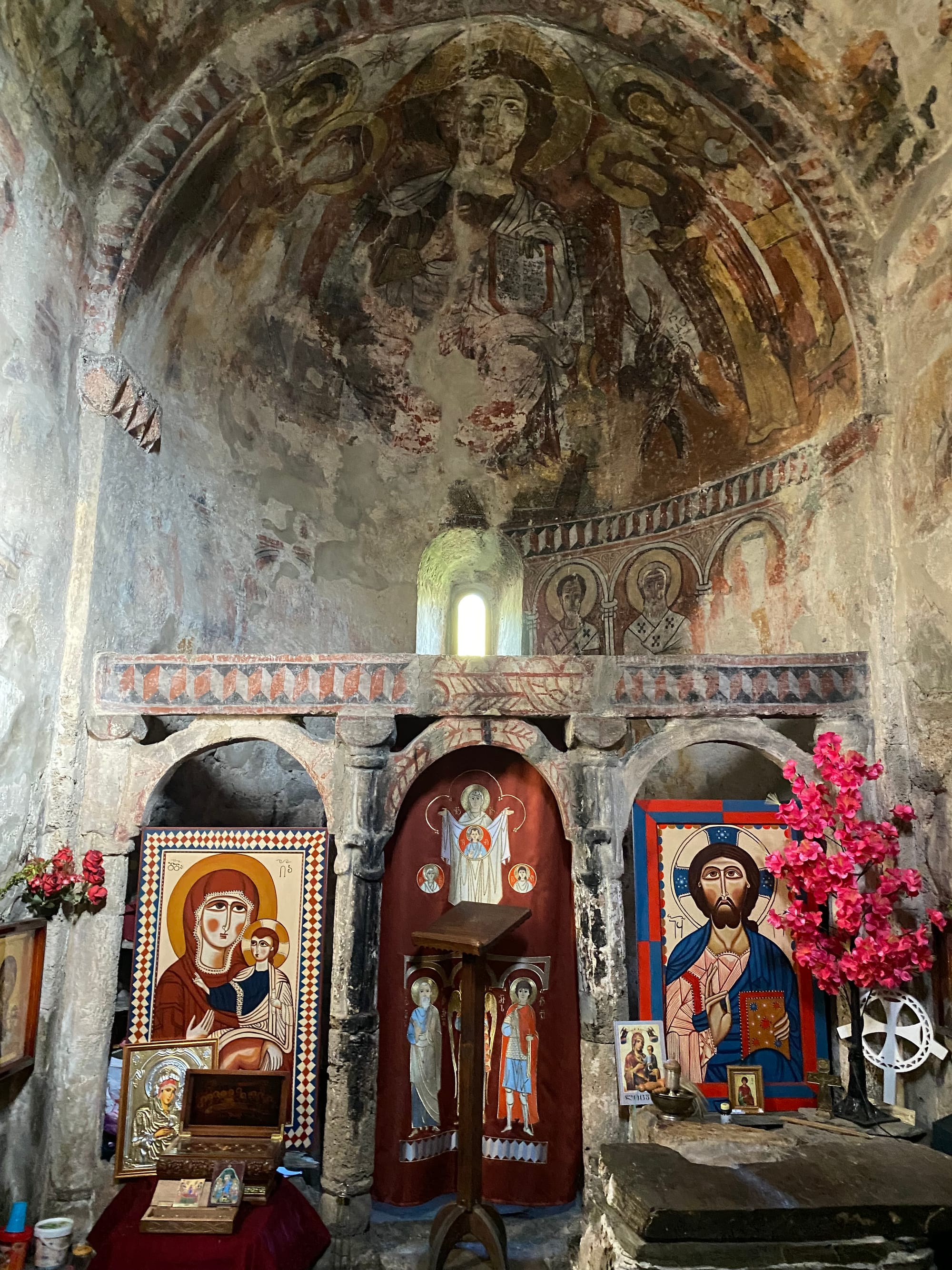
The rest of the afternoon was spent strolling back to Ushguli along the main road, enjoying the mountain views. I made it back just before dinner time at the guesthouse. After dinner I explored the village of Ushguli, visiting one of its many ancient churches and finding a good viewpoint of the Wall north of town at sunset.


Member discussion