Burke Ridge
Date: December 1, 2024
Distance: 27.49km from the Harper Road trailhead to Burke North Summit’s High Viewpoint. About 9km (round trip) was via bike, and you could get a couple kilometres further depending on the snow level. Add an extra 1.2km round trip if also visiting the North Viewpoint. From the trailhead, the approximate round-trip distance to the viewpoint at Burke’s South Summit is 22.8km, and Pika Peak (recommended) is 24.9km.
Elevation gain: 1,447m (to High Viewpoint)
Burke Ridge, located north of Coquitlam, forms the southern part of Pinecone Burke Provincial Park. The ridge includes several smaller peaks and viewpoints, which can be combined into a long but scenic hike. The lower parts of the ridge have been logged, and the most direct route involves a long grind on an old FSR. However, past a certain elevation, the scenery becomes a very peaceful old-growth subalpine forest dotted with small lakes, an excellent reward for the elevation gain.
The two main access points are from the gun club at Harper Road (longer, but less steep and closer to transit) and Quarry Road (shorter, but steeper).
I started at Harper Road, biking the first few kilometres to save time, then snowshoed to Burke North Summit’s High Viewpoint. Along the way, I visited almost all the sub-peaks, many viewpoints, and several alpine lakes.
Note on naming
Confusingly, there’s some online debate about the exact names of the peaks on this ridge. The guidebook “Burke And Widgeon A Hiker's Guide” and most online resources (e.g. Open Street Map) call the peaks “Burke South Summit”, “Pika Peak”, and “Burke North Summit”, with the North Summit having two subpeaks: the “North Viewpoint” and the “High Viewpoint”. Bivouac.com and Peakbagger refer to the south summit as “Dennett Peak”, and the north peaks as “Burke Summit” and “Burke South Summit”. There is also an unofficially named “Mount Burke” below the ridge, nowhere near any of these places. To avoid confusion I’ll use the same names as the guidebook.
On another note, my family always thought that Burke Ridge was named after my great-great-grandfather William Willmar Burke. Unfortunately, reliable sources suggest otherwise (BC Geographical Names).
Trip Report
I was dropped off at the gun club at sunrise. A car drove out of the gun club entrance, but left when it was clear I’d exit soon. This would not be a good trailhead for car camping!
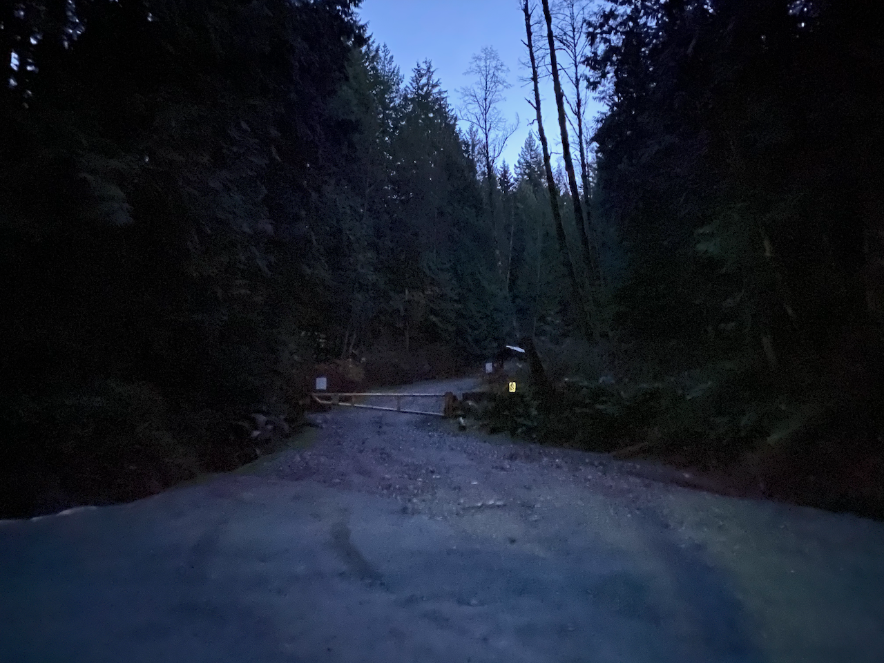
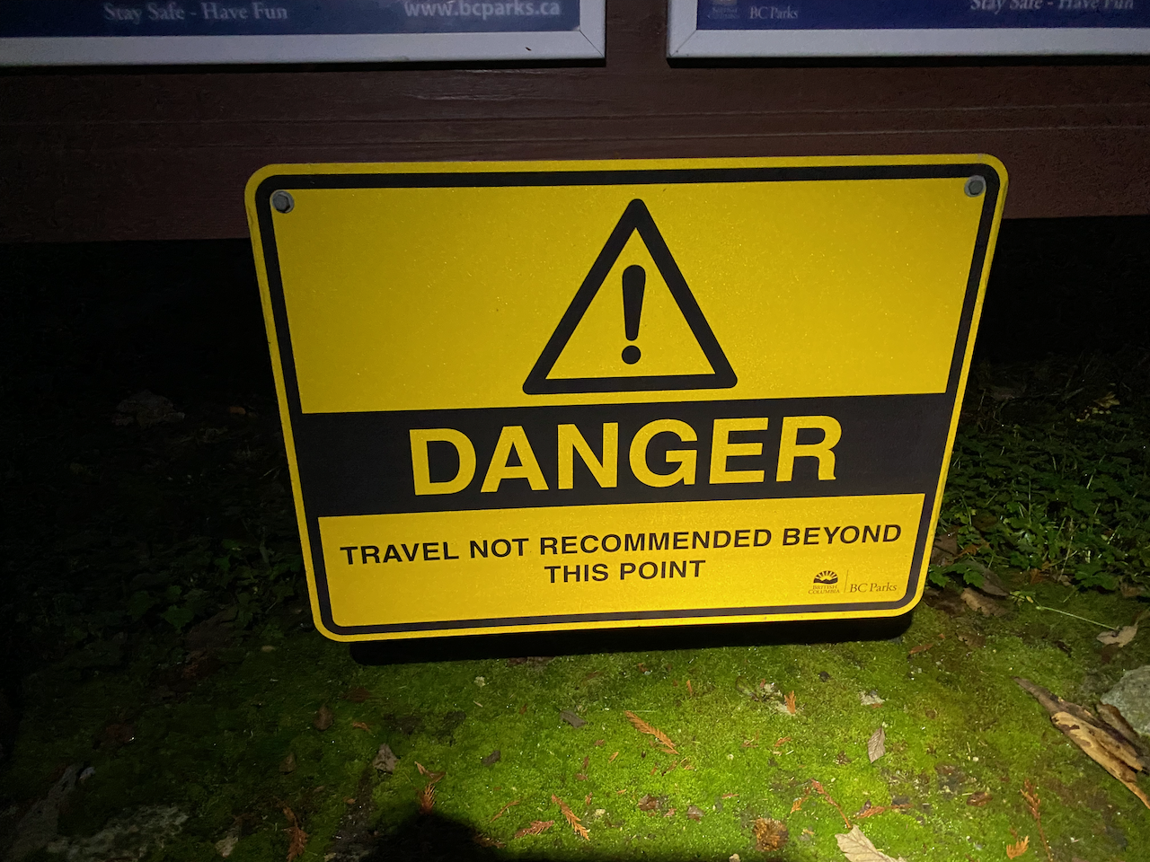
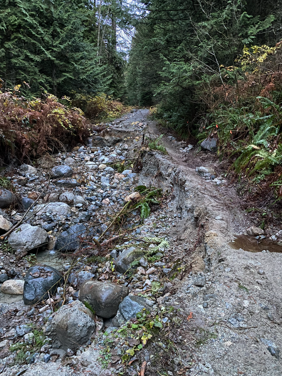
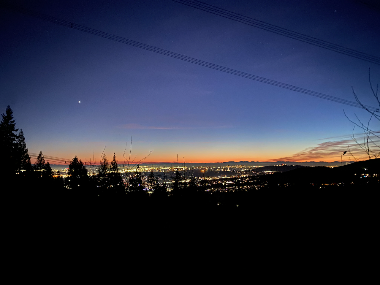
I biked up Harper Road for a few kilometres; the road was mostly in good shape, but there were several washed out areas where I had to push the bike. About 2km from the trailhead, the road crossed the powerlines, offering a good viewpoint of Coquitlam and Burnaby.
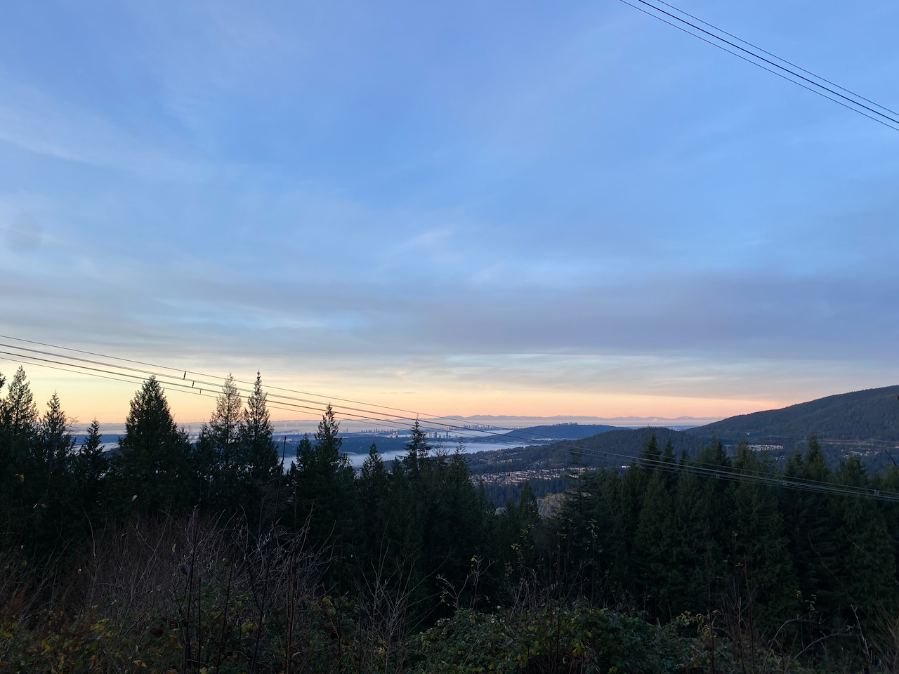
Gunshots began around 8am. I was a few kilometres away from the gun club by that point, but they were still quite loud!
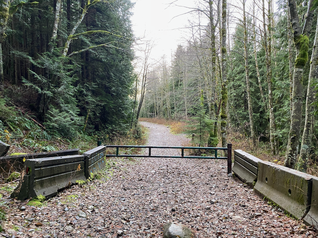
At about 650m there is a gate at a switchback. There was no easy bypass route and I had to lift the bike over the gate. Past that, the road continued for a few more kilometres; if not biking, you could make this section more interesting by taking the South Slope Trail or the Dennett Lake trail to the ridge, instead of the gravel road.
Snow began around 850m, where I stashed the bike and put snowshoes on. The road continued to a clearing at about 1020m, which was the site of a ski lodge in the 1960s. There is a good viewpoint here.
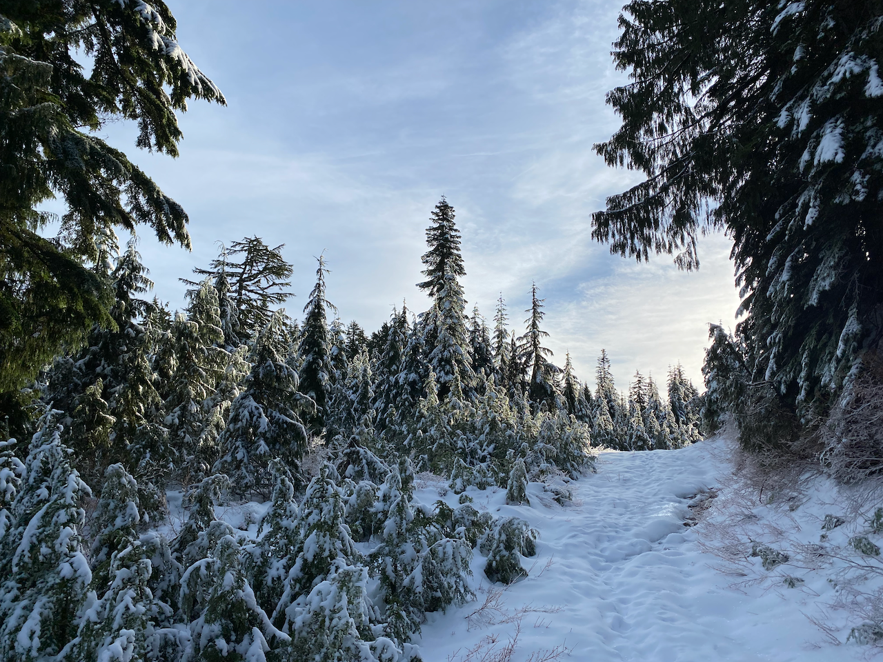
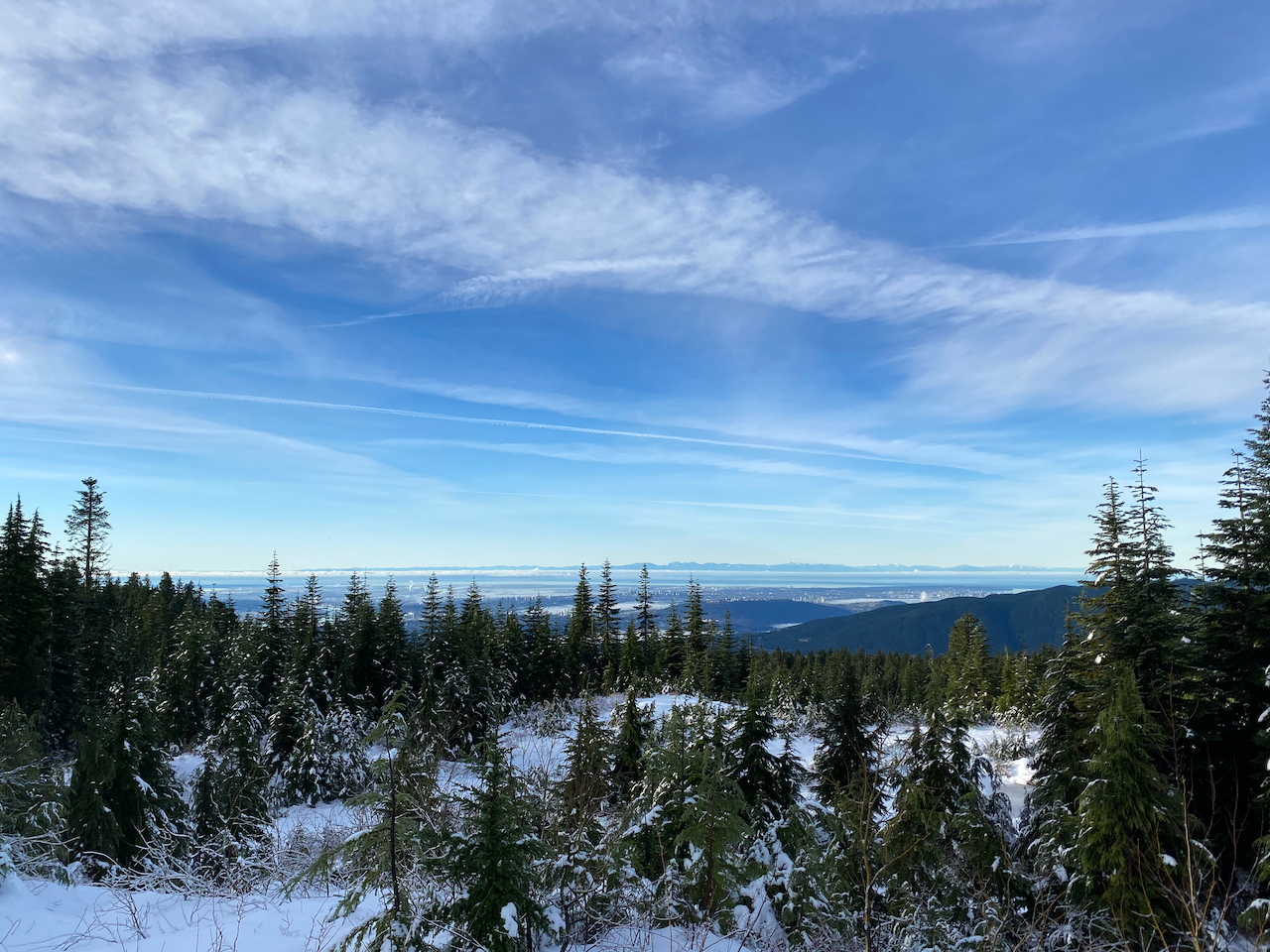
From here on I was on the Burke Ridge Trail, which is well-marked with flagging tape. I soon arrived at Twin Lakes, two of many pleasant lakes along the ridge. Past the lakes, I took a short detour to “Burke Mountain SW”, a small bump on Peakbagger.com that no one bothered to add to OSM or the guidebook. There are no views, and only peakbaggers should bother with it.
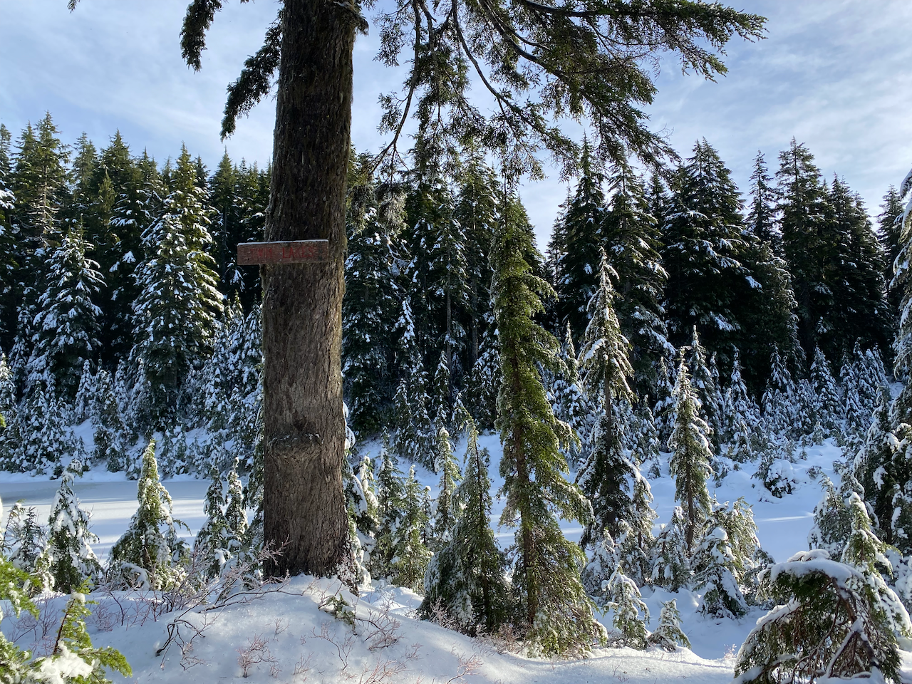
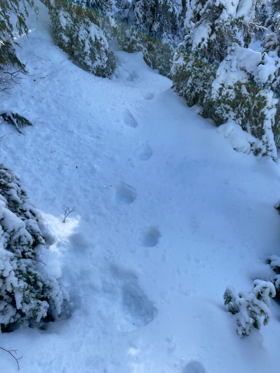
Continuing northwest, the trail passed more lakes and viewpoints, including striking vistas of Coquitlam Mountain. The snowshoe tracks I was following stopped before the south summit. At several points I crossed bear tracks, reminding me that Pinecone Burke Park creates an unbroken wilderness corridor stretching from Burke Ridge to the northern reaches of Garibaldi Park.
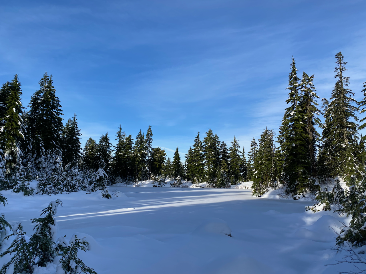
Burke’s South Summit was a forested bump, but a viewpoint to its northeast, marked with a sign and flagging tape, offered good views to the north.
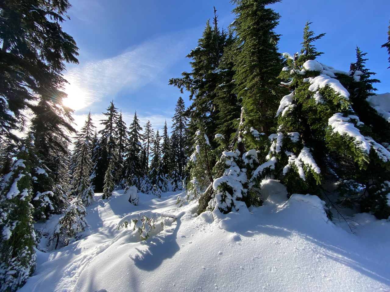
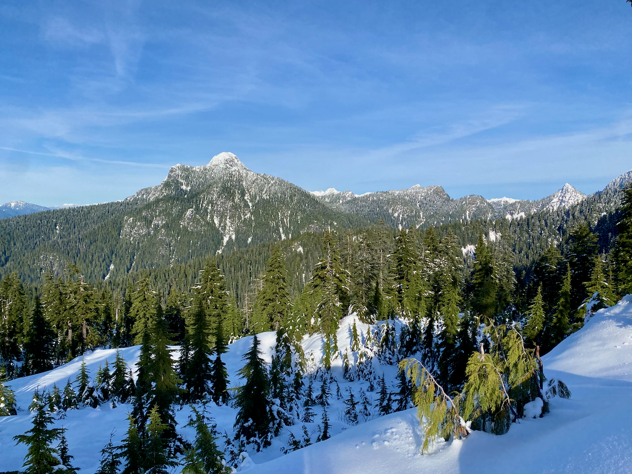
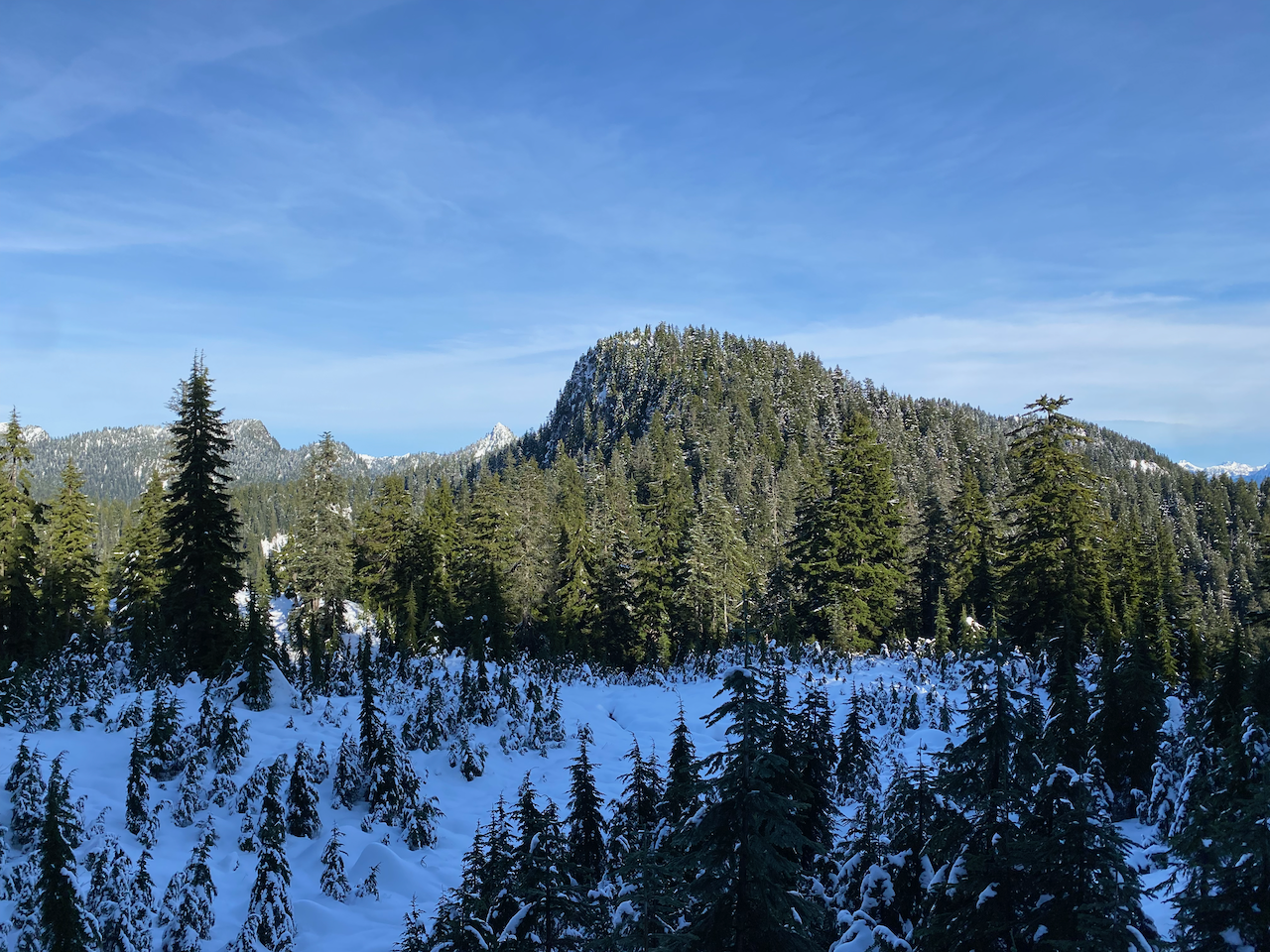
From here the route became steeper and routefinding became more difficult. I descended a valley, aiming for a meadow in the col between Burke’s South Summit and Pika Peak. Past the meadow, the route ascended, then traversed the eastern side of Pika Peak. Interestingly, there were stretches where no flags were seen for tens of metres, followed by areas with many flags over a 5-10 metre stretch, usually at turning points. I’m guessing most of the other flags were buried under snow.
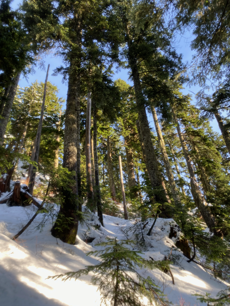
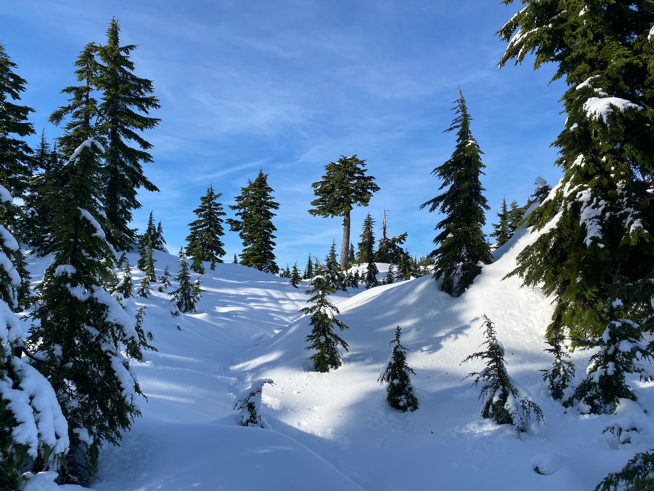
Beyond Pika, another steep descent and climb brought me to the col between the North Summit’s viewpoints. I was running low on time and only went to the High Viewpoint, which is slightly shorter than the North Viewpoint but offers better views. To get there, I had to descend into a ravine, then ascend out of it to the north. The summit didn’t quite have the “expansive 360°” views promised by the guidebook, but the views were still superb.
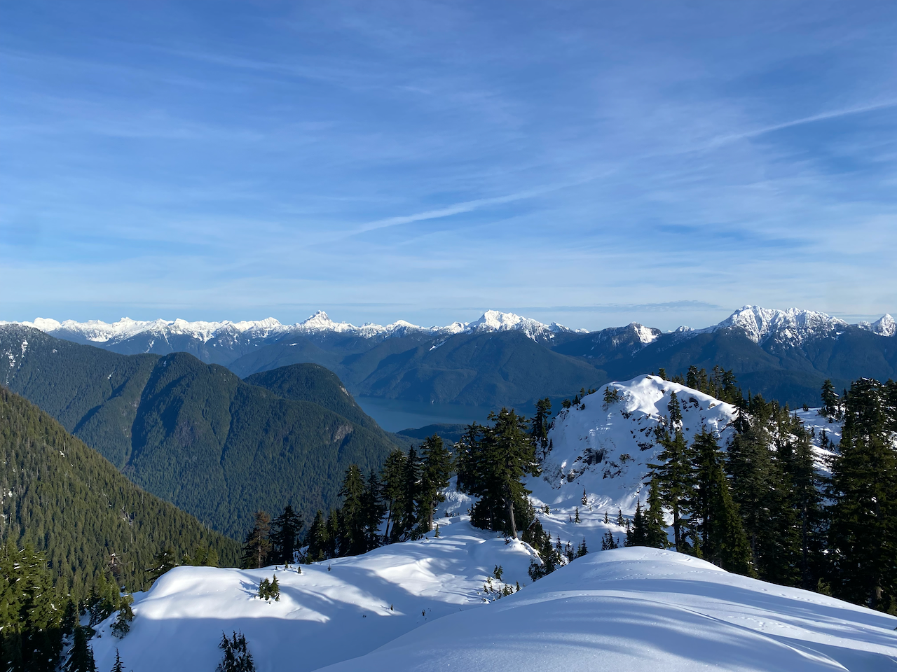
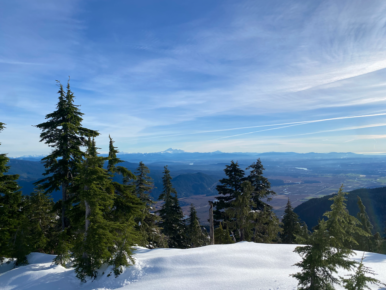
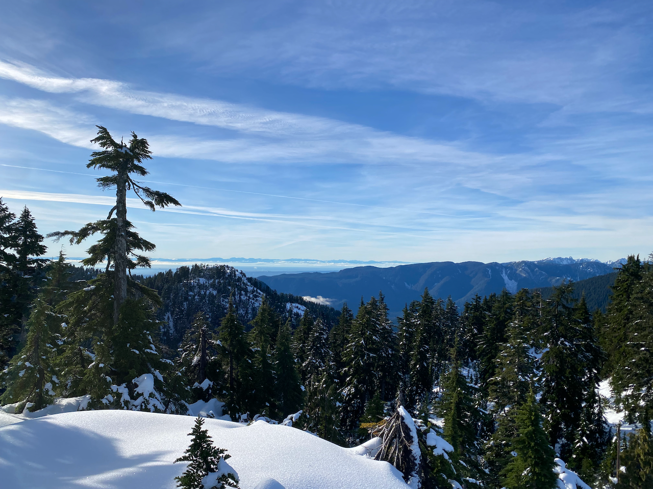
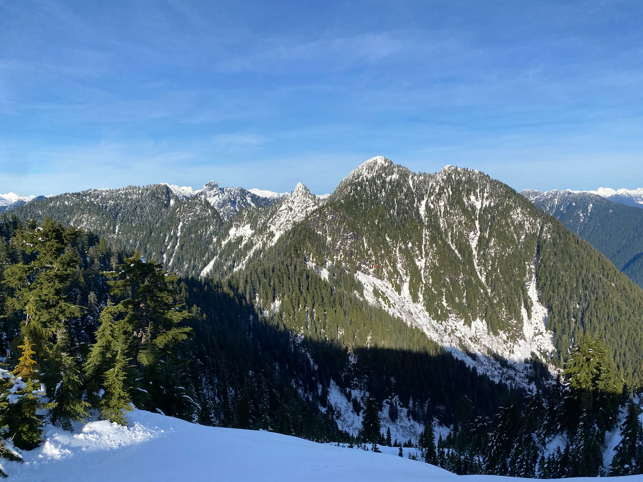
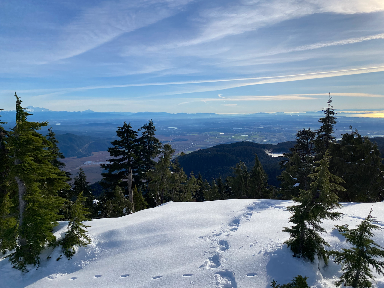
I paused for lunch on the summit, enjoying the peace before heading back to avoid being caught on the ridge after dark.
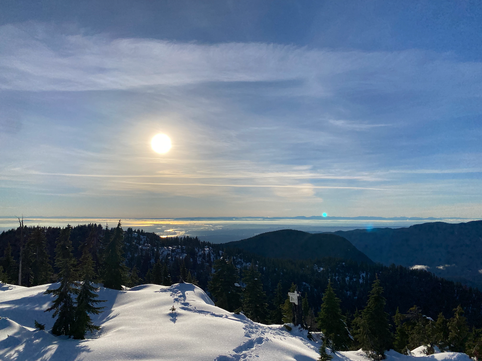
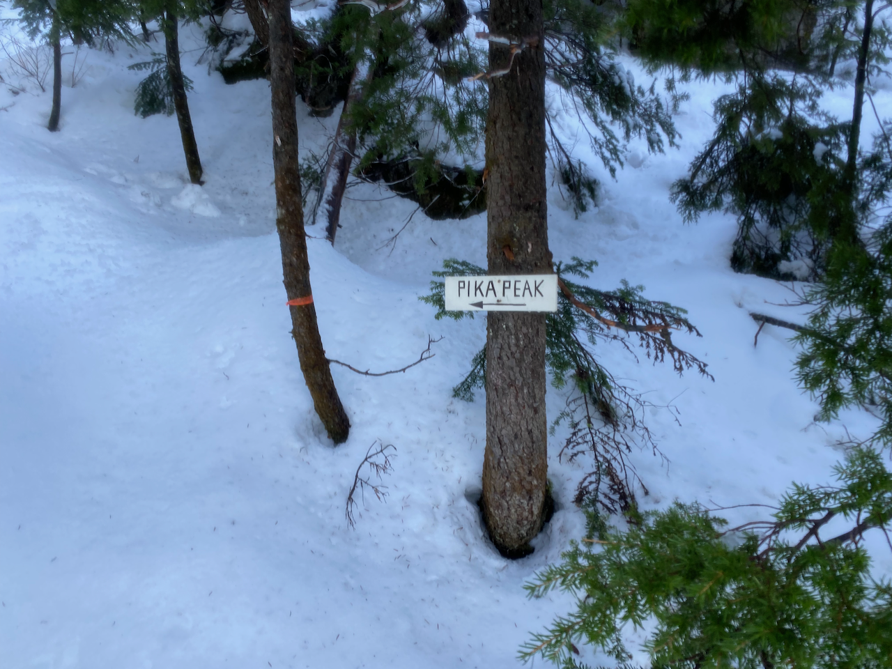
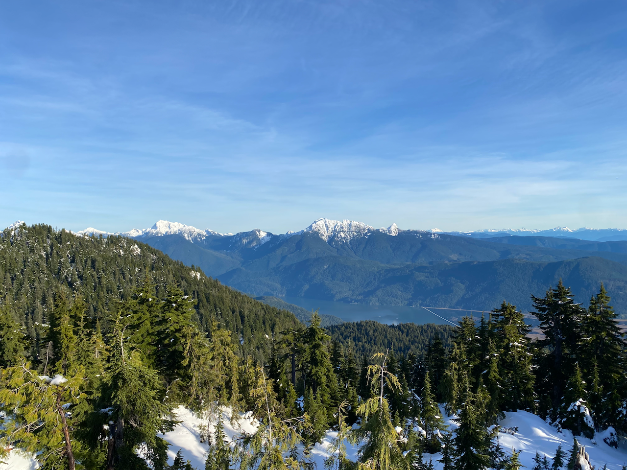
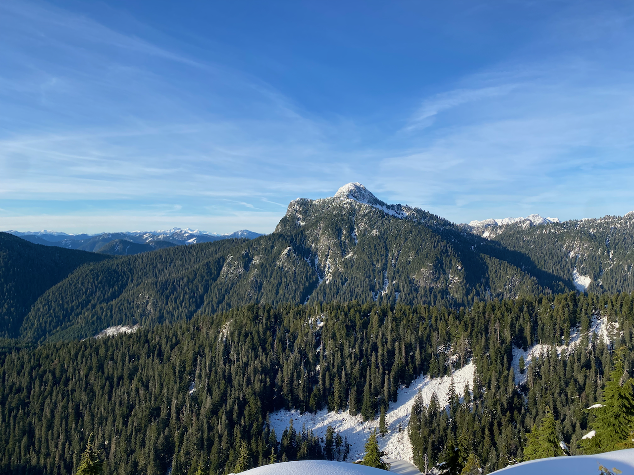
On the way back I took a quick detour to Pika Peak. The turnoff is marked with a sign, and the ascent is well flagged. Pika Peak had the best views of the day, with 360 degree views encompassing the entire ridge, the Lower Mainland, and perspectives into the Coquitlam Watershed and the remote northern reaches of Pinecone Burke Park.
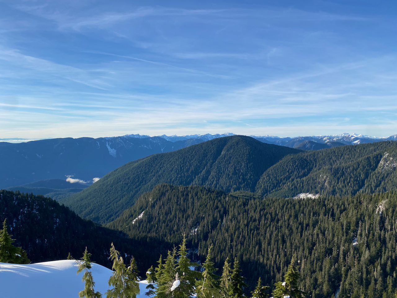
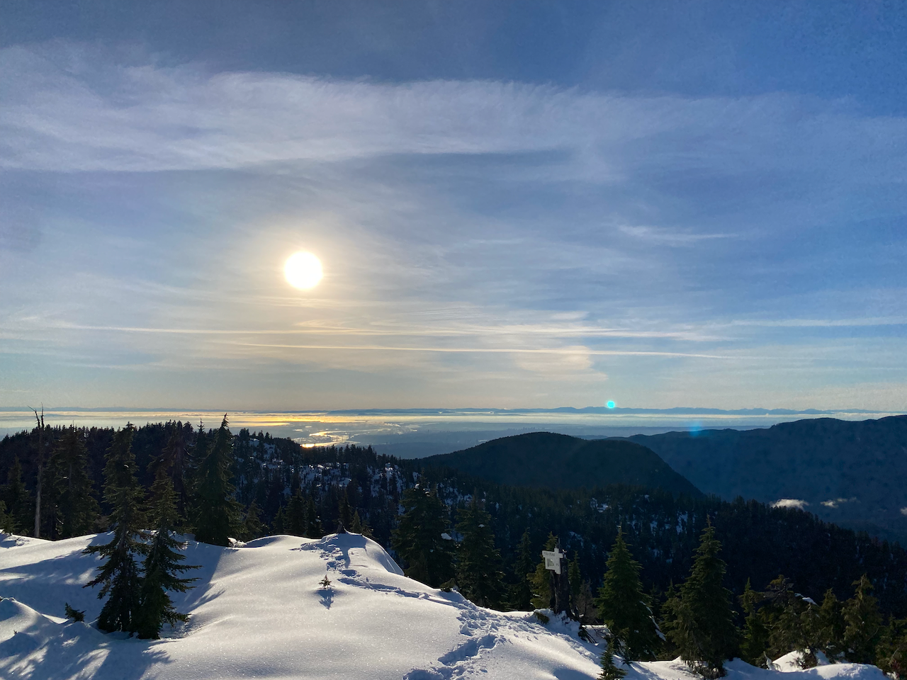
As usual for snowshoe trips, the return was much quicker than the ascent. I reached the ski resort viewpoint at sunset.
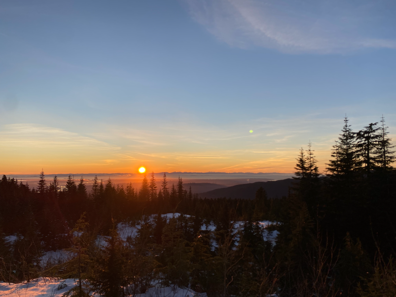
By the time I retrieved my bike, it was very dark. With gunshots all around me, I biked down the road in the dark like a character in a war movie. From the trailhead, I cruised 7.5km downhill to the nearest Skytrain station - unintentionally disrupting a Christmas lights event at Lafarge Lake - then took transit home.
Overall, this isn’t the shortest hike and it might not have the most jaw-dropping views, but it’s still a very worthy adventure, especially if you live near Coquitlam. The solitude and beauty of the lakes and viewpoints are worth the trip. I’ll return at some point to explore some of the other trails and destinations in the area.


Member discussion