Big Slide Mountain and the Brothers
Date: August 25, 2024
Distance: 18.17km (including walk along road)
Elevation gain: 1076m
Big Slide Mountain is the 27th tallest mountain in New York state. It’s one of the easier high peaks (by high peaks standards) and offers great views, so it’s quite a popular hike. It would be a good introduction to the Adirondack High Peaks for a moderately experienced hiker.
I had an extended layover in Montreal and the Adirondacks were calling. Finn and I left Montreal quite early and drove across the border. The main parking lot for this hike is the Garden trailhead just outside Keene Valley, but it fills up quickly, so we had to park at the Rooster Comb trailhead (a couple kilometres away) and walk to the Garden. Luckily I caught a ride on the way up. There’s also a shuttle from Marcy Field to the Garden.
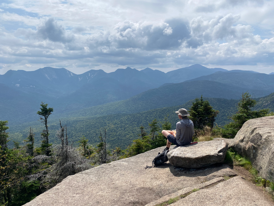
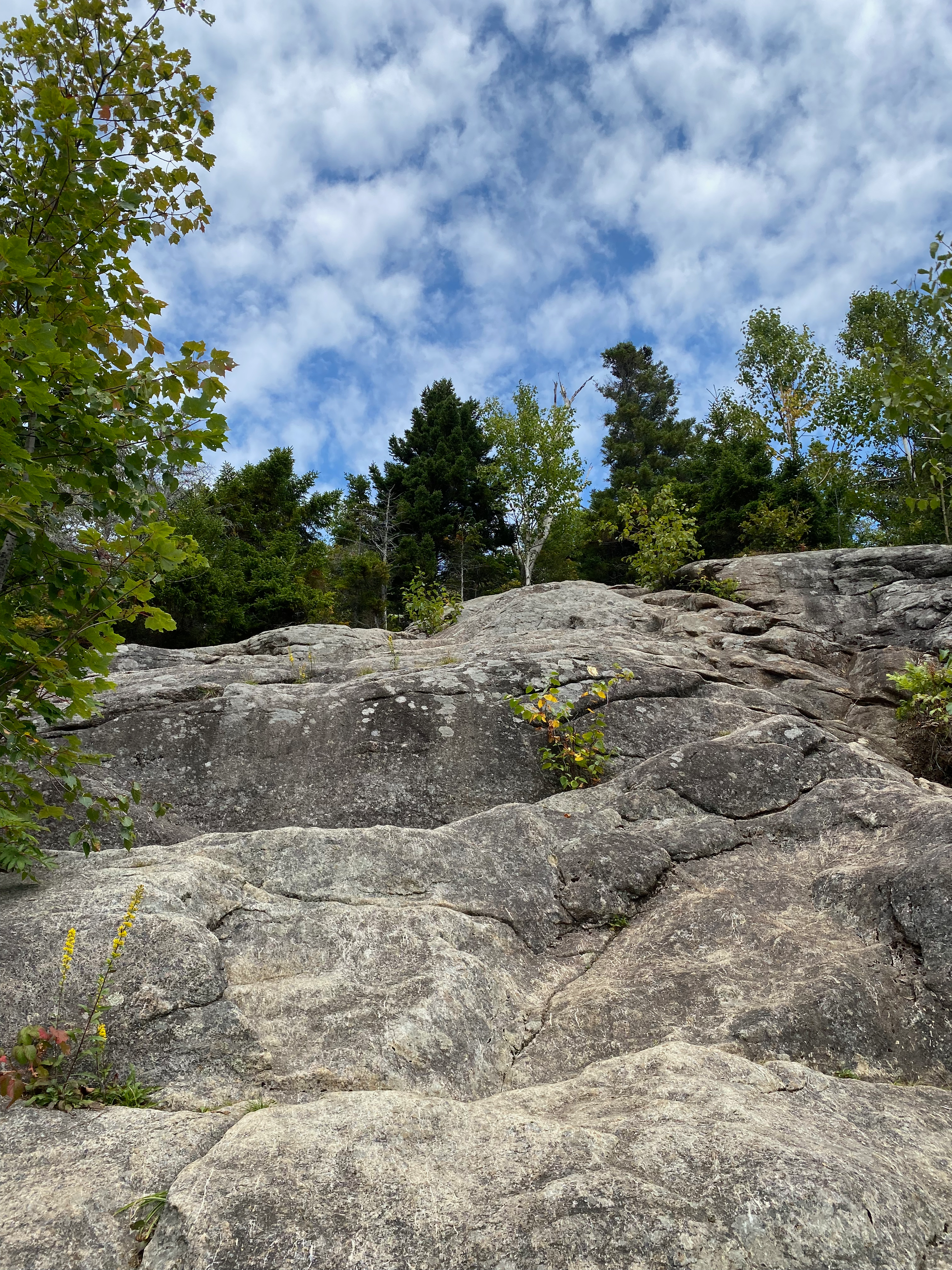
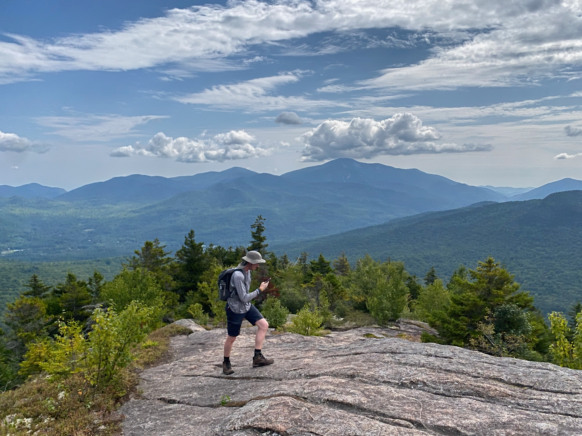
We took the main Big Slide trail from the parking lot, which climbs northwest then west over three small bumps called the Brothers. Like many other Adirondack trails, there were some short sections of class 2 scrambling over bare rock; my Nalgene took a big slide down one of these inclines, but somehow didn’t break. All three Brothers had good views, especially the first and third. There was a small rock cave near the First Brother.
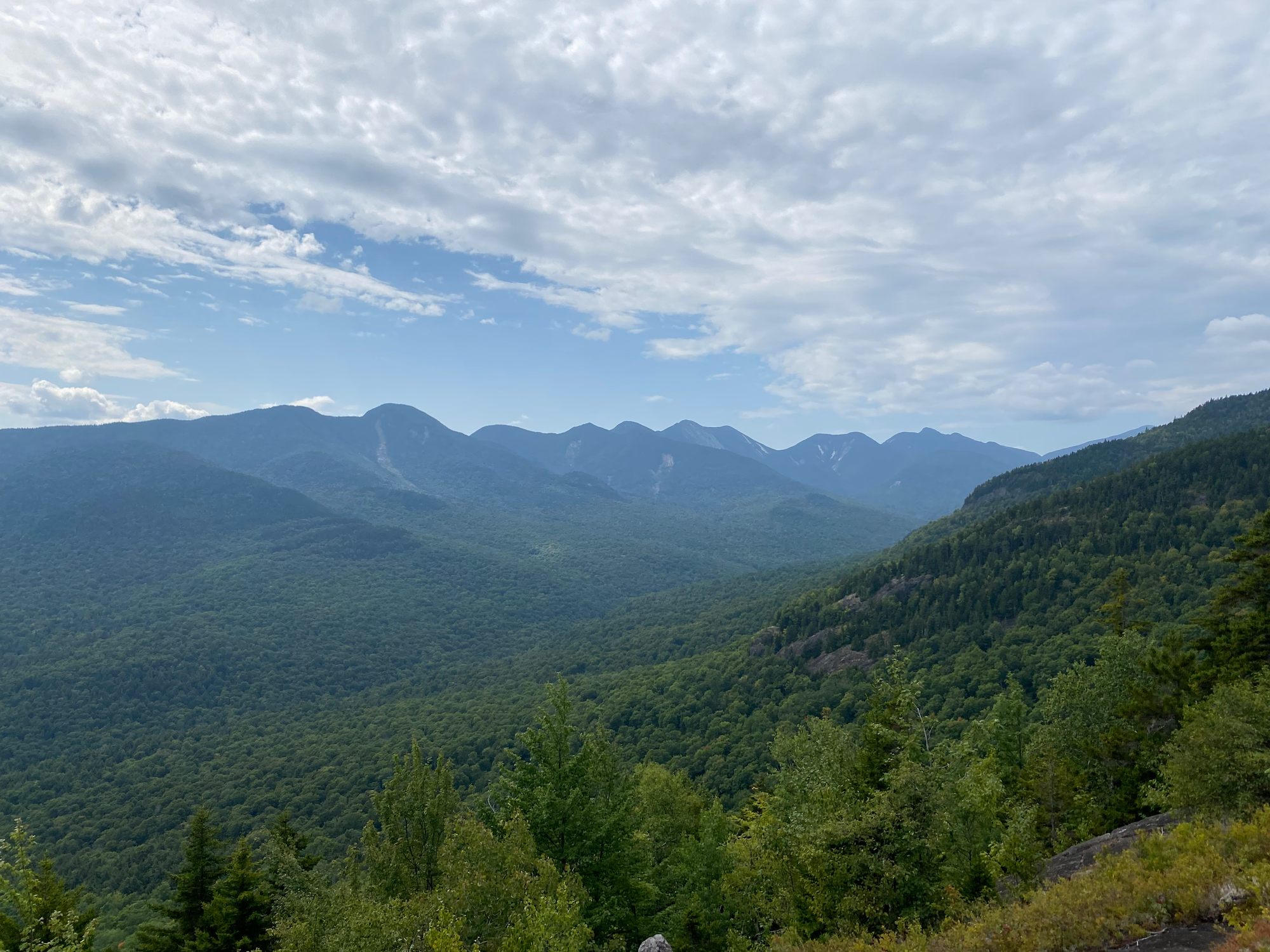
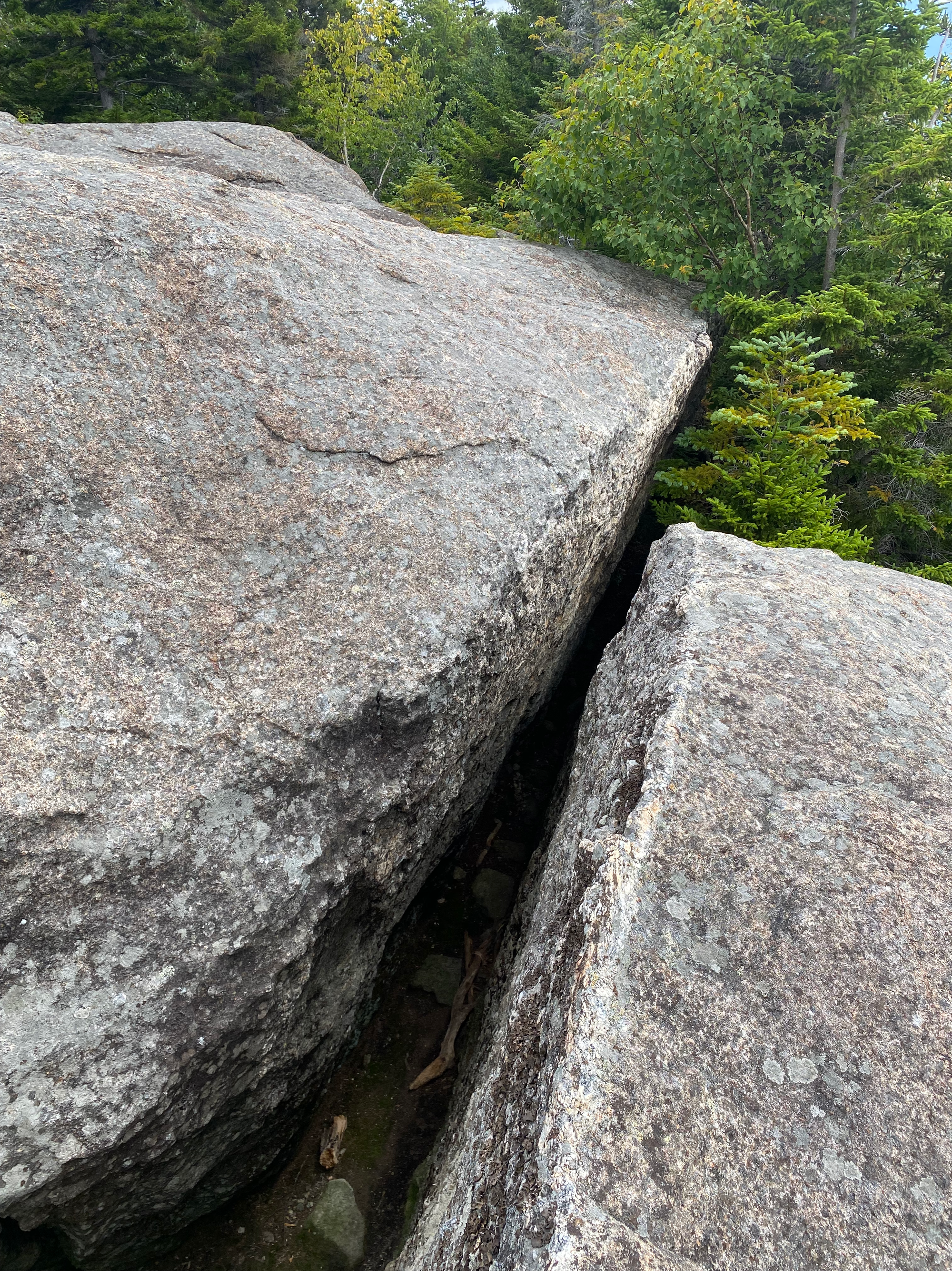
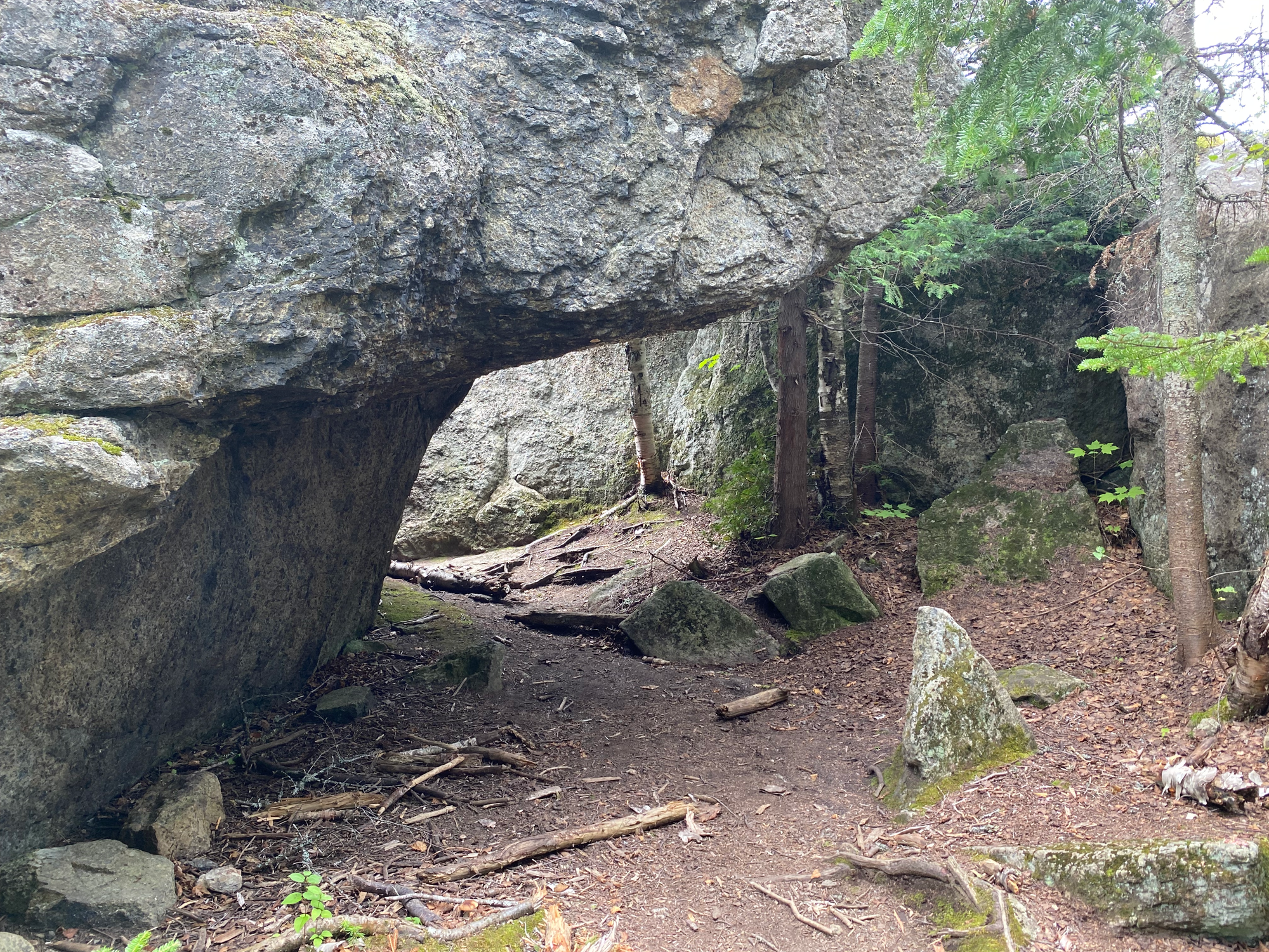
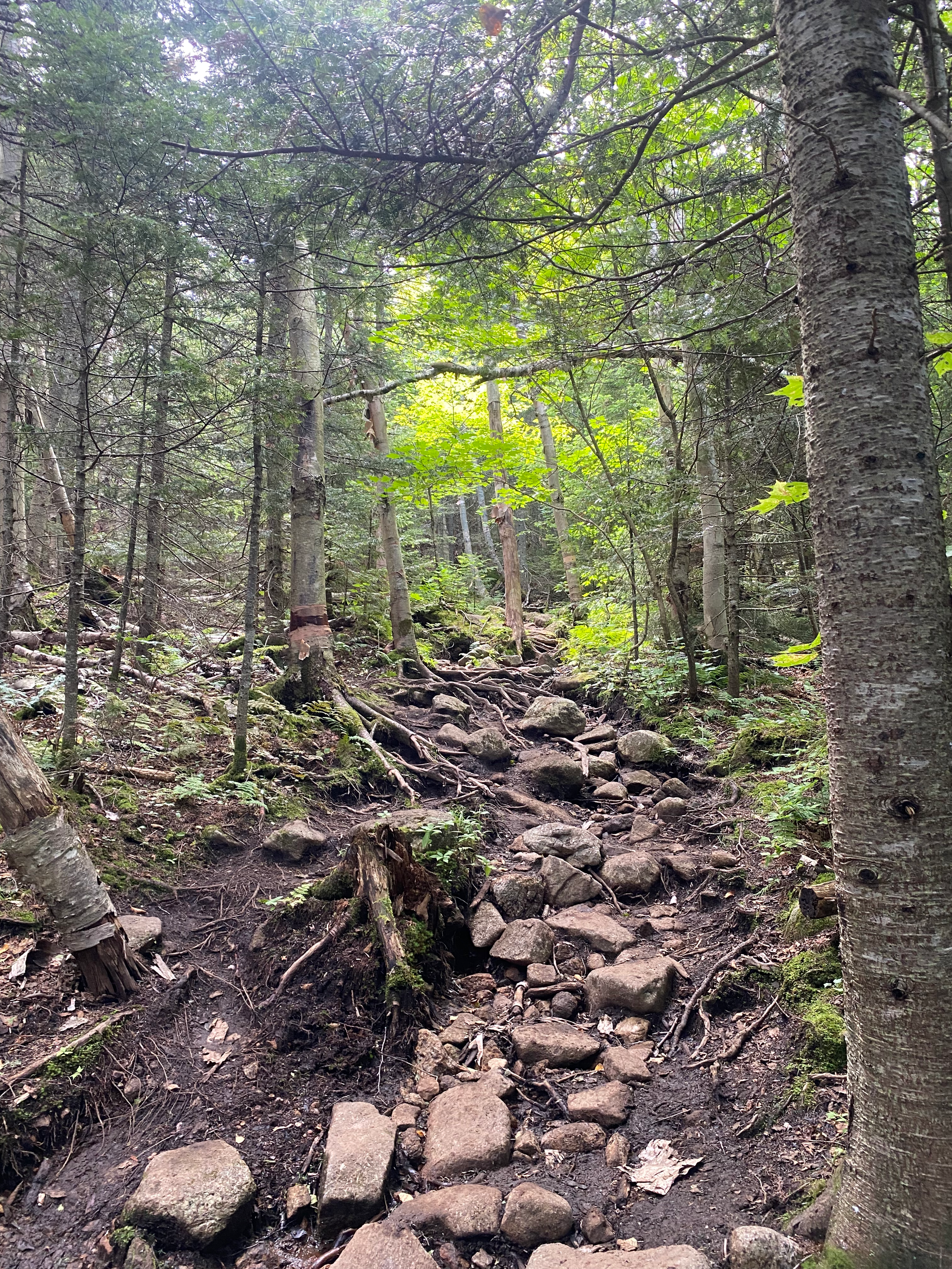
Past the Brothers, the trail meandered along the ridge for a couple kilometres before meeting the junction with the Johns Brook Trail connector. From there the elevation gain restarted as we climbed several ladders to the summit, which offered excellent views of the Great Range.
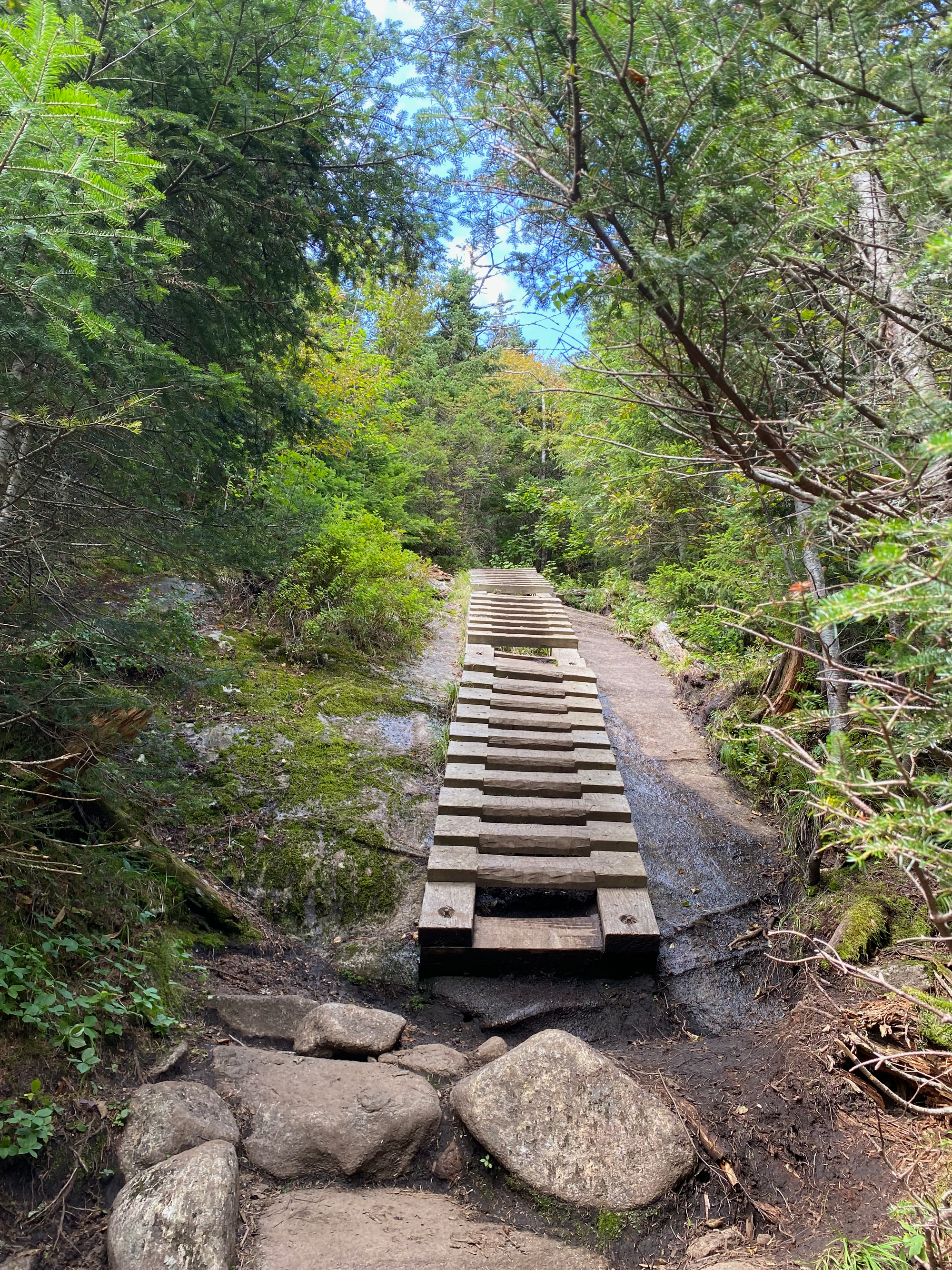
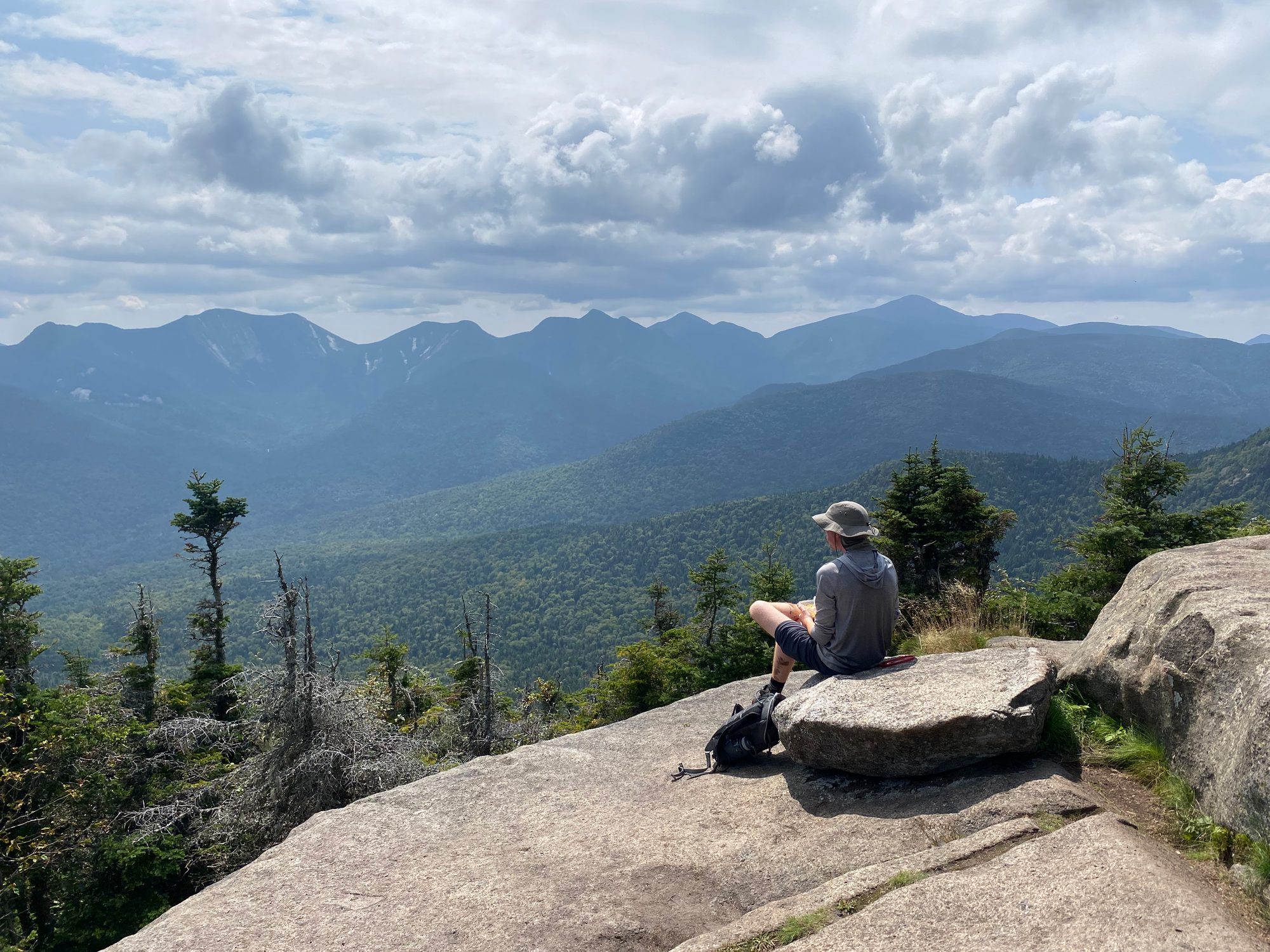
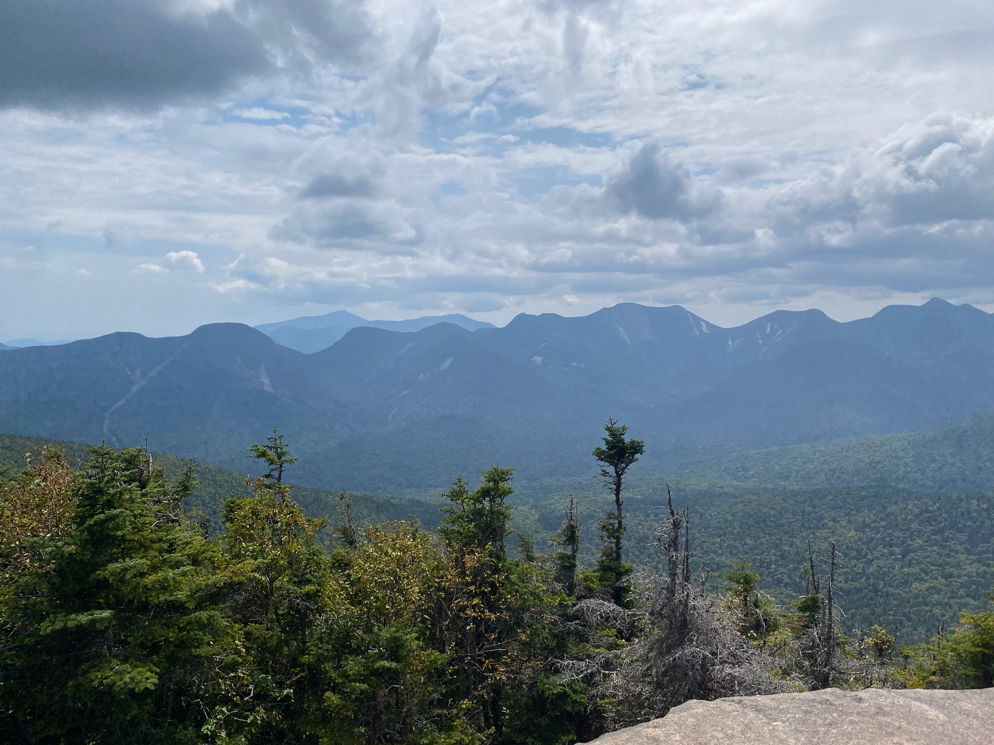
We considered taking a longer loop which goes over Yard Mountain, but decided not to. Instead we returned to the junction and descended the connector trail to Johns Brook. This trail follows a creek with a couple very pleasant swimming holes. Most of my Adirondack hikes were done in winter so I hadn’t seen a creek here in a while.
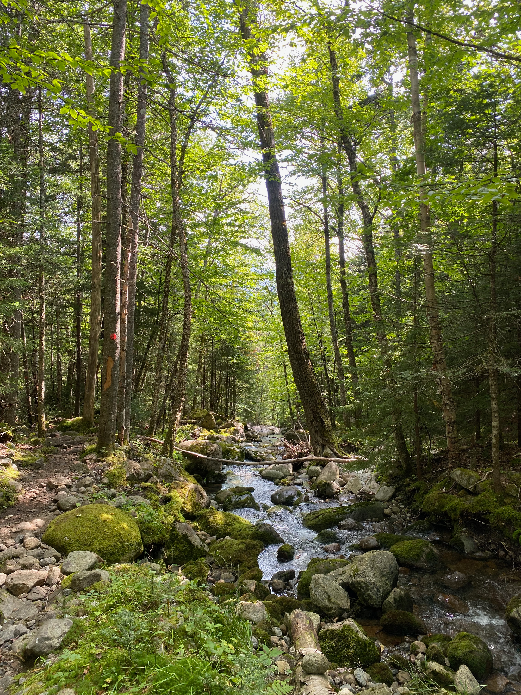
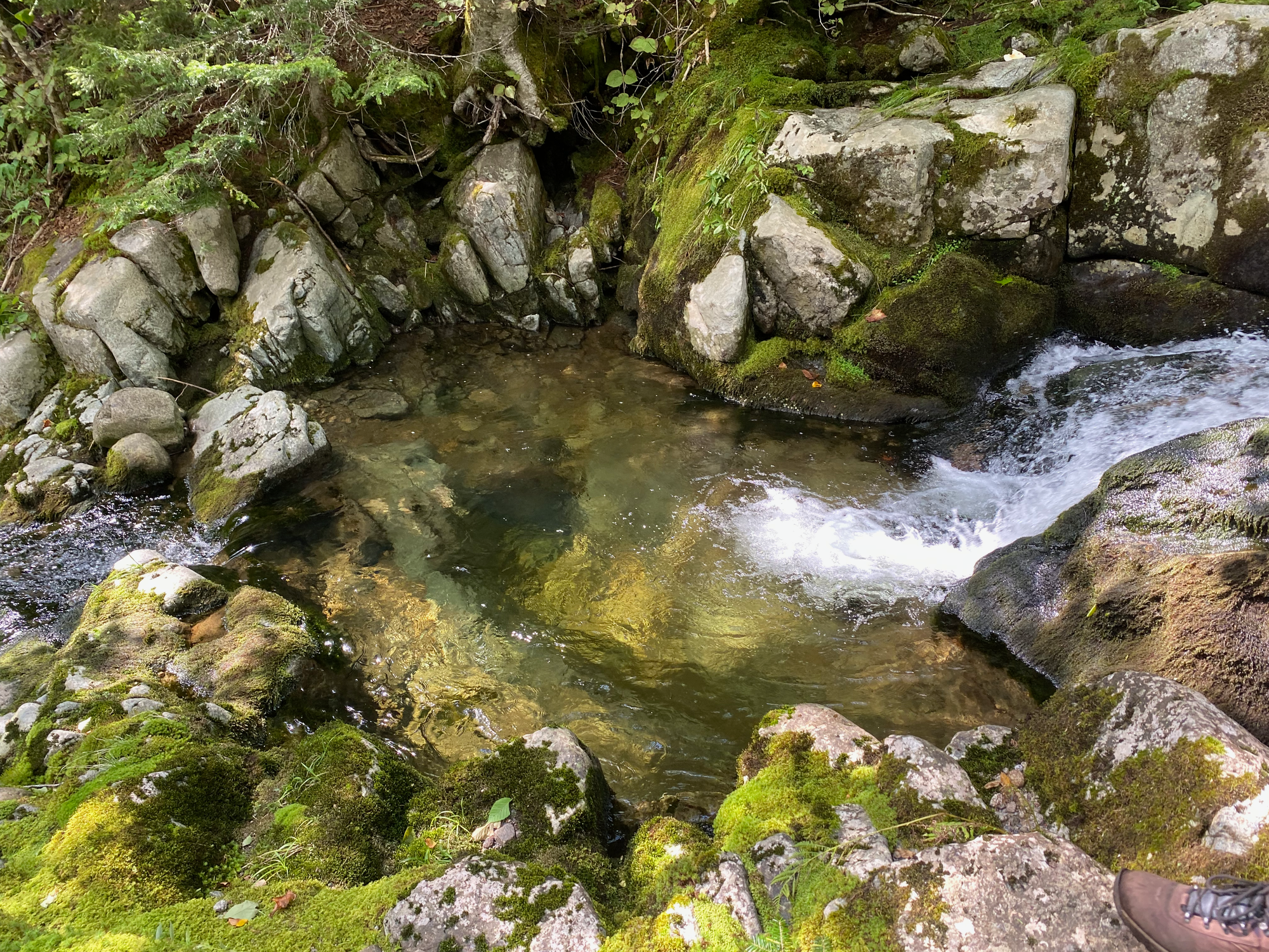
After about 3km we reached the main Johns Brook Trail and headed east to the parking lot. In hindsight we should have taken a detour to Bushnell Falls, only a couple kilometres in the other direction. This was highly recommended by the ranger we talked to later.
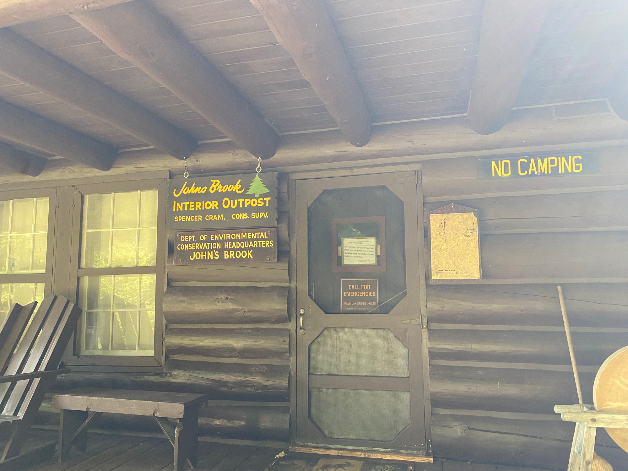
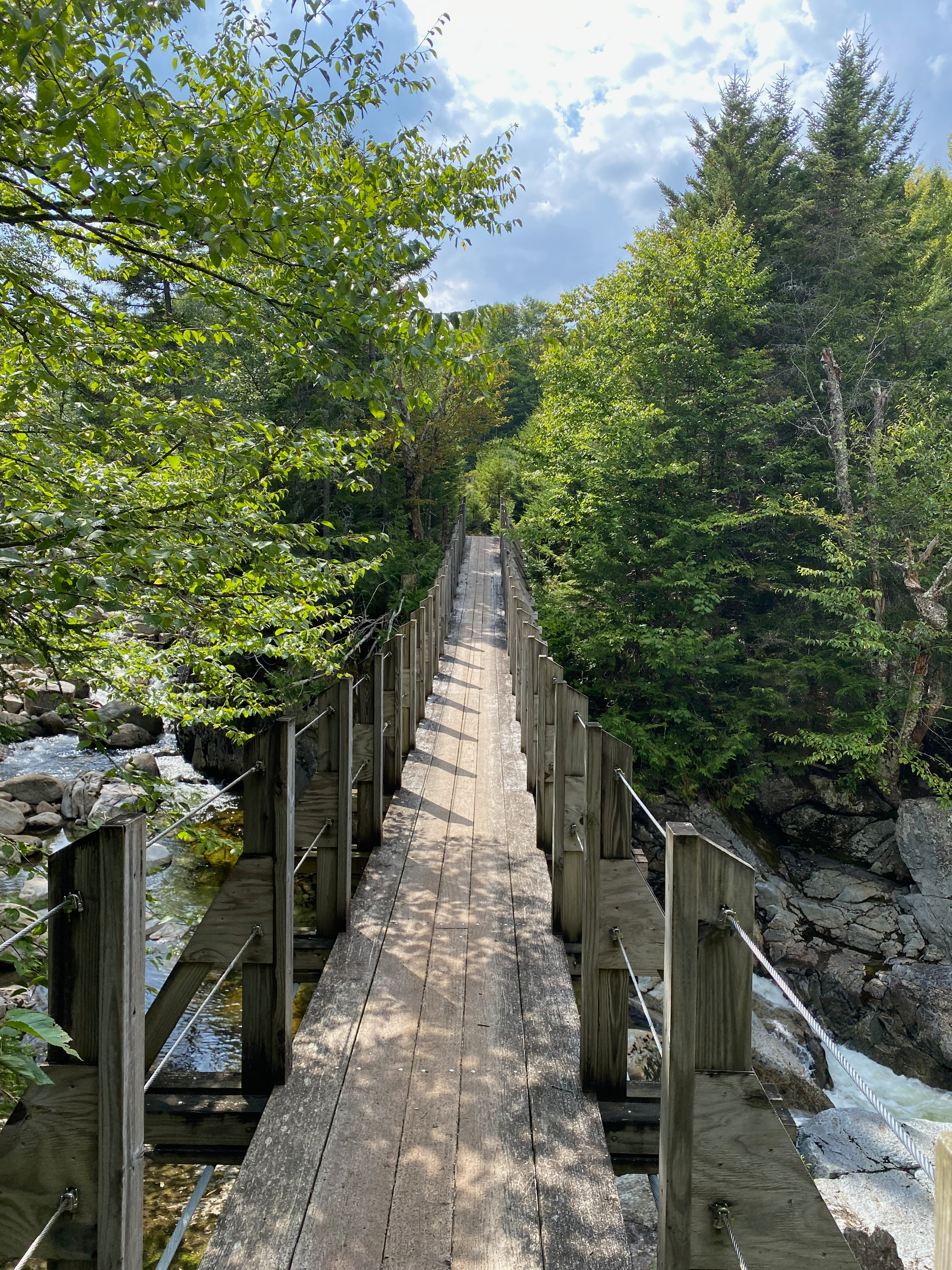
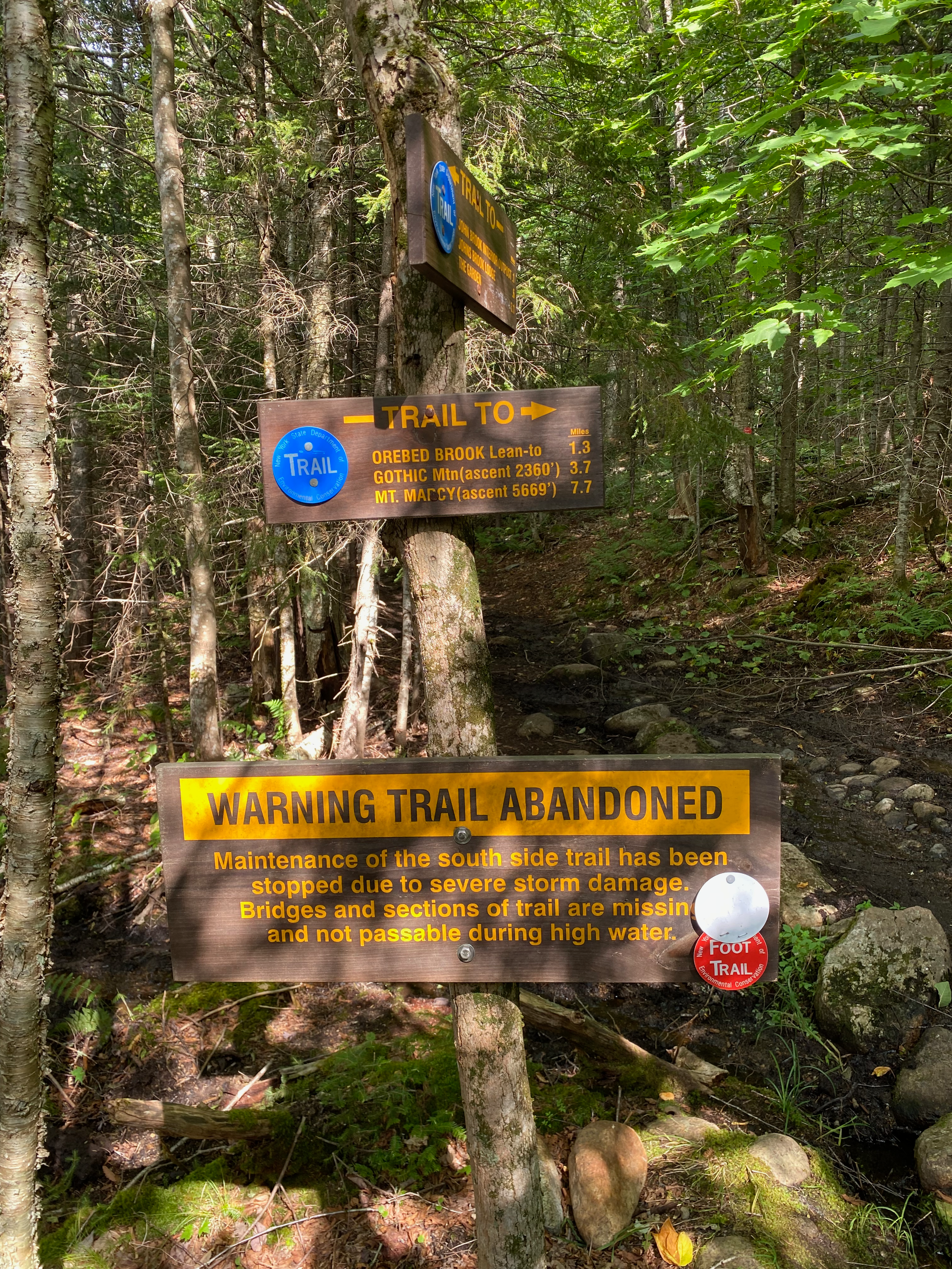
Instead of taking the main trail on the north side of Johns Brook, we took the Southside trail, which seemed to get closer to the creek. A few hundred metres in we reached a sign saying that the trail was abandoned due to storm damage. The water levels were quite low, and access wasn’t forbidden, so we decided to risk it. This turned out much better than expected: the trail was still in good shape (it felt similar to the first few kilometres of the Dix Range access trail) and we enjoyed walking along the scenic creek, with plenty of waterfalls and pools.
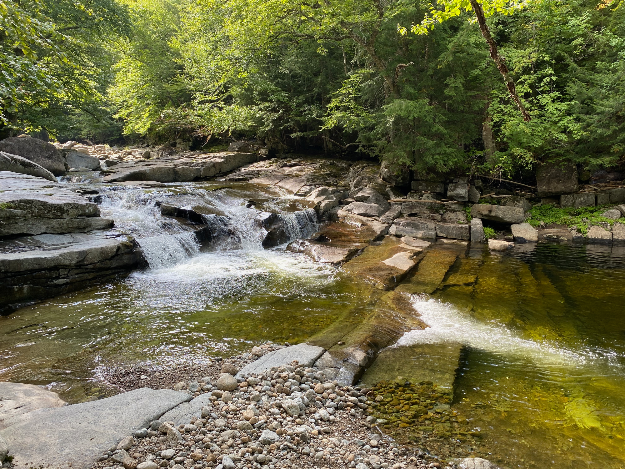
At one point the trail split into two, and we took the higher route. The lower route apparently goes through the creek and is impassable when the water is high. Also, at the end of the Southside Trail, we had to rock-hop to get back to the main Johns Brook Trail; this would be dicey in wet or flooded conditions. In dry, late-season conditions, I would actually recommend the southside trail.
We returned to the Garden parking lot, had a nice chat with a ranger, hitchhiked to the car, had some burgers and milkshakes in Plattsburgh, then headed north.


Member discussion