Azhdahak
Date: June 19, 2024
Distance: 37.73km (About 39km without hitchhiking)
Elevation gain: 1760m
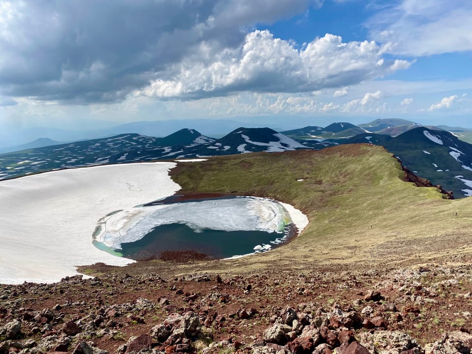
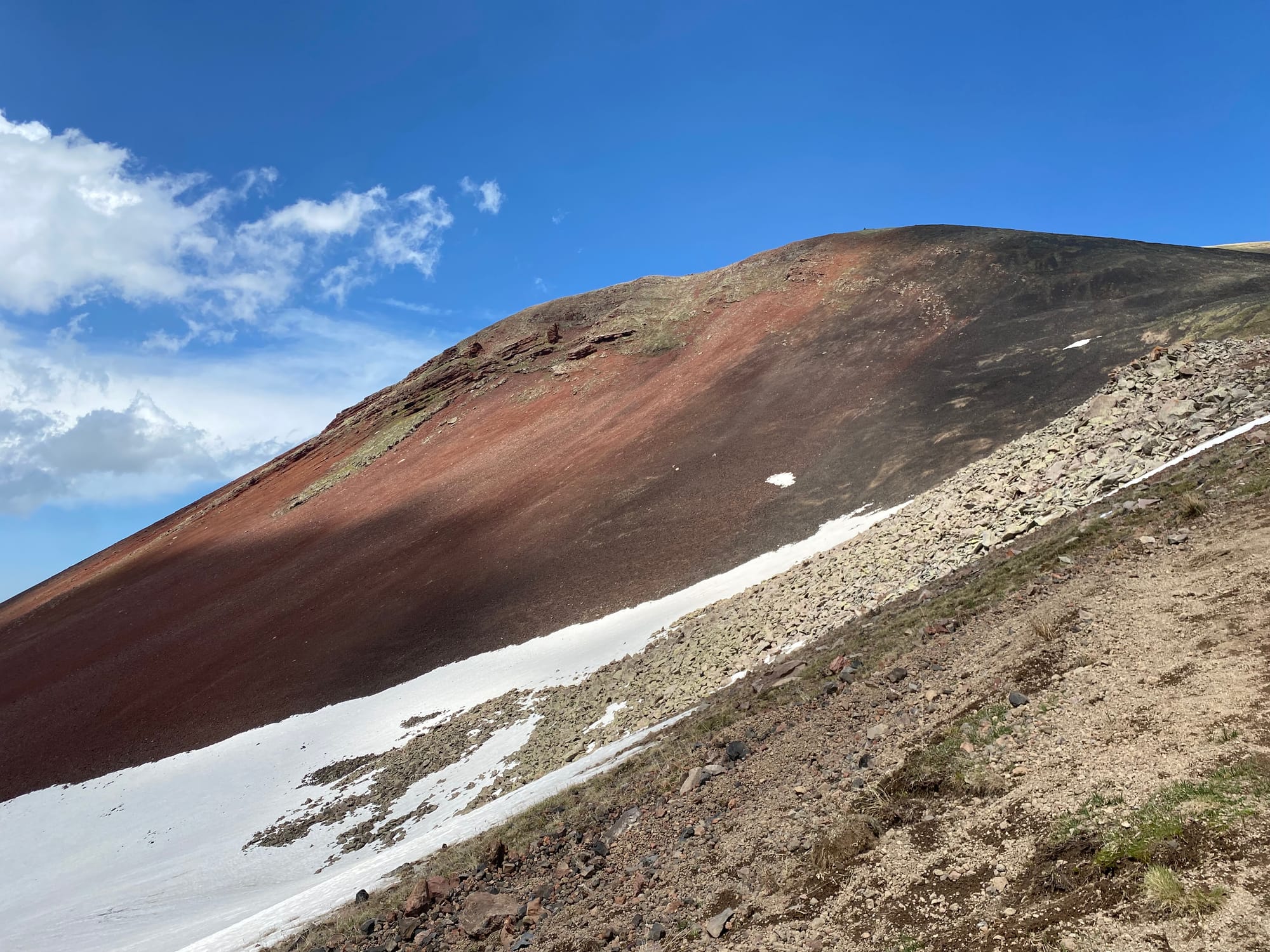
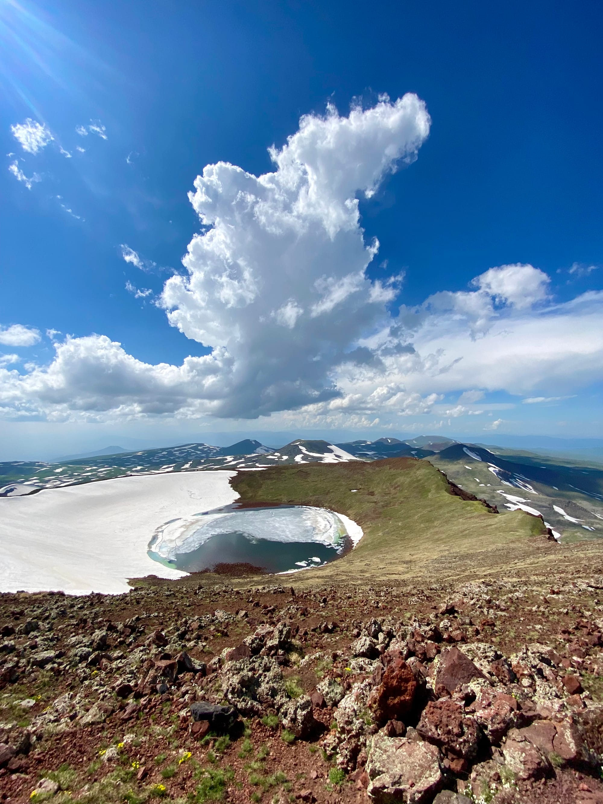
To the east of Yerevan, Armenia, a range of volcanic cones - the Gegham Mountains - rise from a high plateau inhabited only by nomadic Kurdish shepherds. The range’s tallest peak is Mount Azhdahak, named after an evil dragon from Armenian mythology. Its red rocks and perfectly circular crater lake are quite striking.
I was visiting Armenia and wanted to see some of the nature that the country is known for. The highest point, Mount Aragats (also an extinct volcano) was still covered in snow, but a quick search of Peakbagger led me to Mt. Azhdahak, which is a few hundred metres shorter and should be accessible.
Most people hike Azhdahak on guided tours. Unfortunately, thanks to the schedule of the cheapest flights and another pre-booked tour, I only had two full days in the country. All the Azhdahak guided tours were on other days or out of my budget so I decided to visit Azhdahak unguided. This meant using a taxi, which could only get to the village of Geghard, 16km away from Azhdahak. To make things more interesting, I decided to do a traverse from the village of Sevaberd to Geghard, which would let me visit more of the range without adding too many kilometres. With more time I would have split this into 2 or 3 days and also explored the petroglyphs and vishapakars (ancient carved stones) found to the south of Azhdahak, as seen in this trip report: https://everywherewego.net/armenia-3-day-hike-to-azhdahak-mountain/
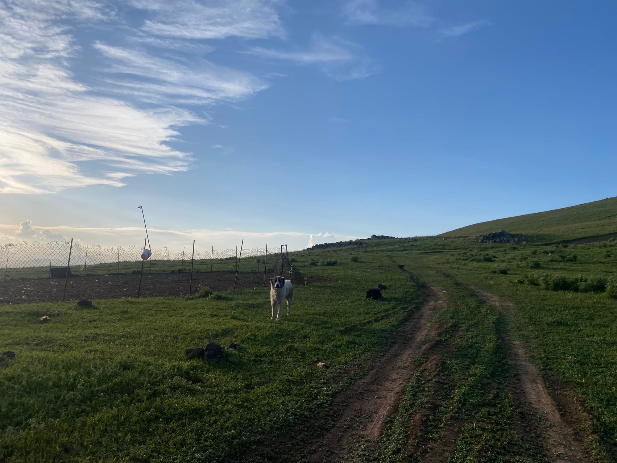
As many guides will tell you, bears and aggressive shepherd dogs can be found in the Gegham mountains, one of the reasons why group tours are popular. For what it's worth, I got lucky: I didn’t see any bears or bear signs, and only encountered one aggressive dog, which was quickly calmed by its owner.
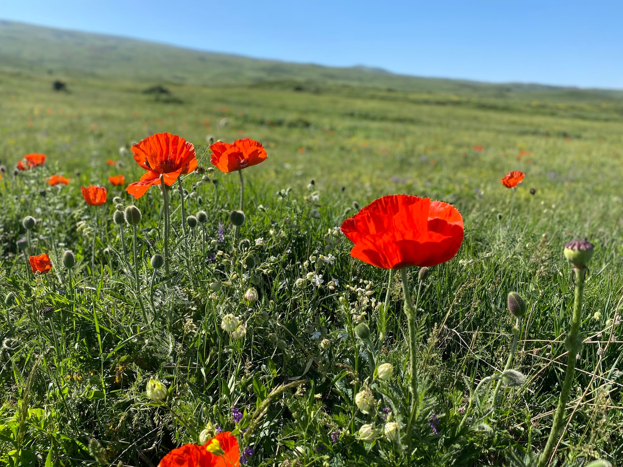
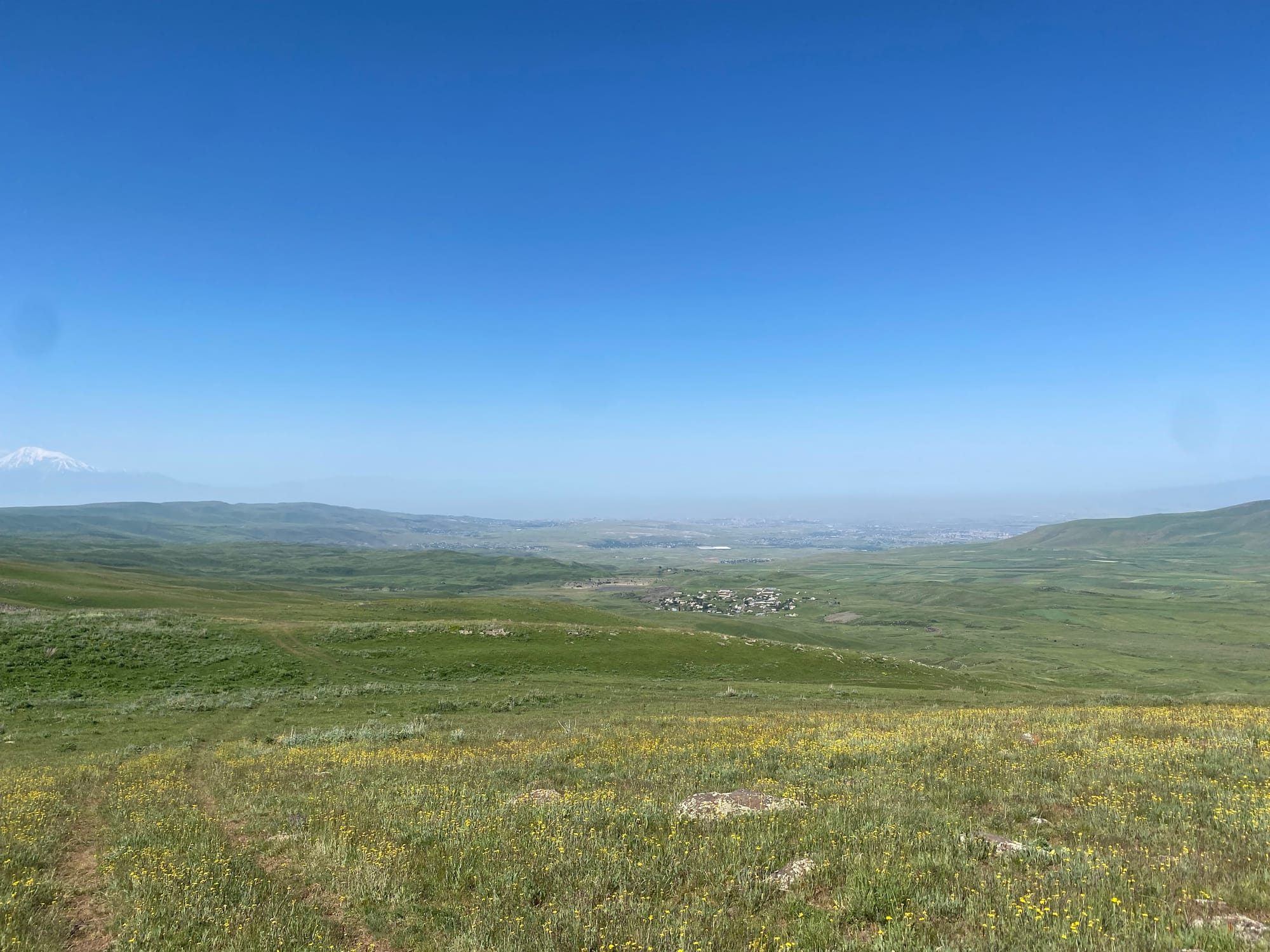
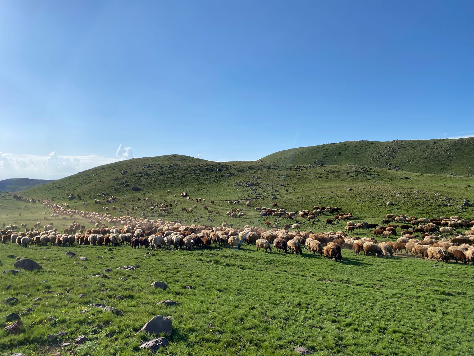
So I found myself at the village of Sevaberd at a very early hour. From there, a network of mostly overgrown roads leads up the slope. I followed the most direct road, using Gaia to stay on track. Wildflowers added some colour to the grassland. In the distance I could see shepherds tending to flocks of sheep.
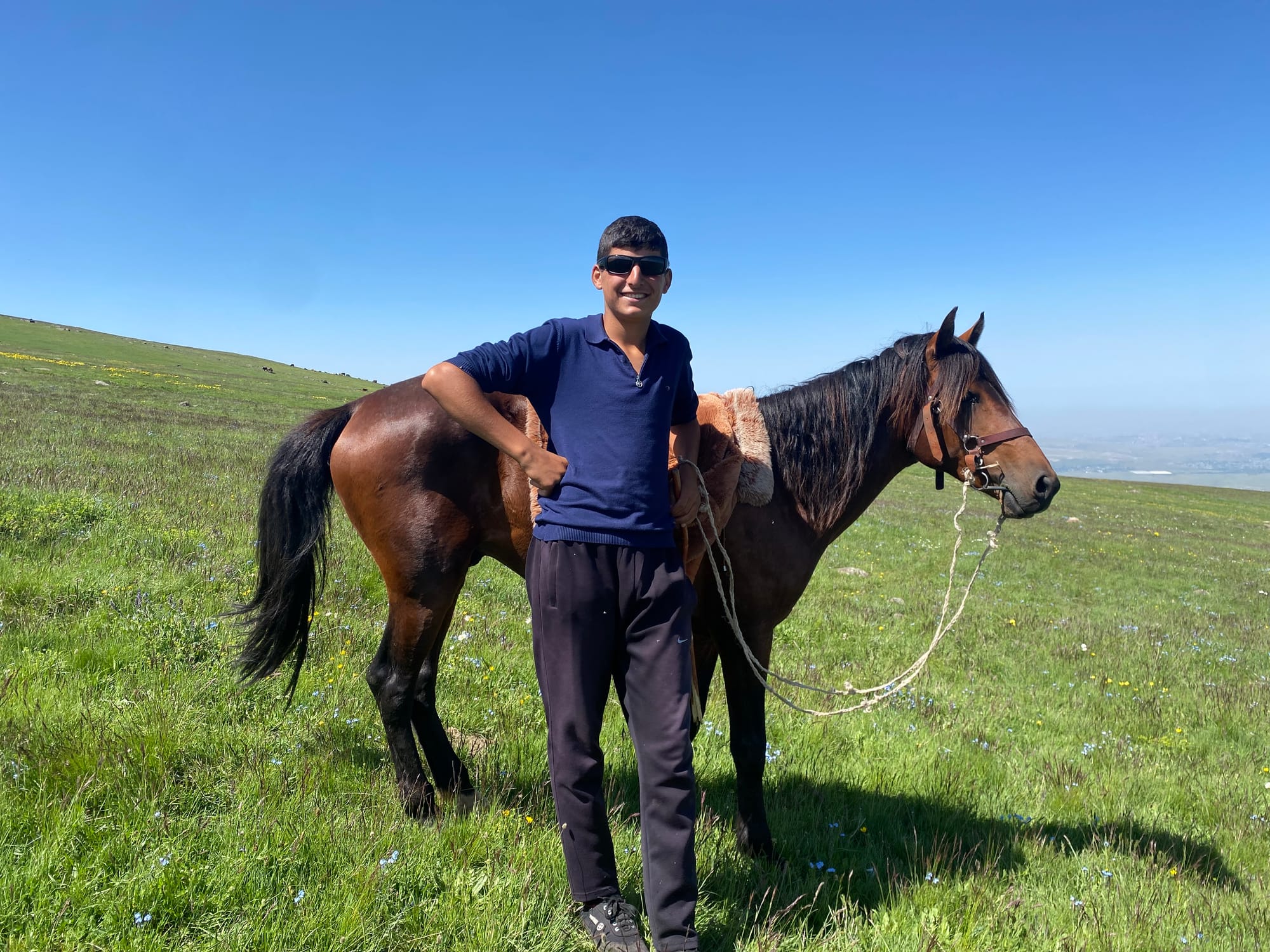
About halfway up the mountain, I heard the sounds of hooves. A young shepherd rode up to me on his horse and started talking to me in Armenian, saying “acknowledge, acknowledge”. It took me a second to realize he was asking if I was going to Lake Acknalich, to the north of the camp. We managed to communicate through hand gestures and the Google Translate app. It turned out that the shepherd - whose name was Maxim - was inviting me for coffee! Maxim and his younger brothers led me to their hut. They were all very interested in my sunglasses, hiking pack, and water bottle and asked me to take some photos.
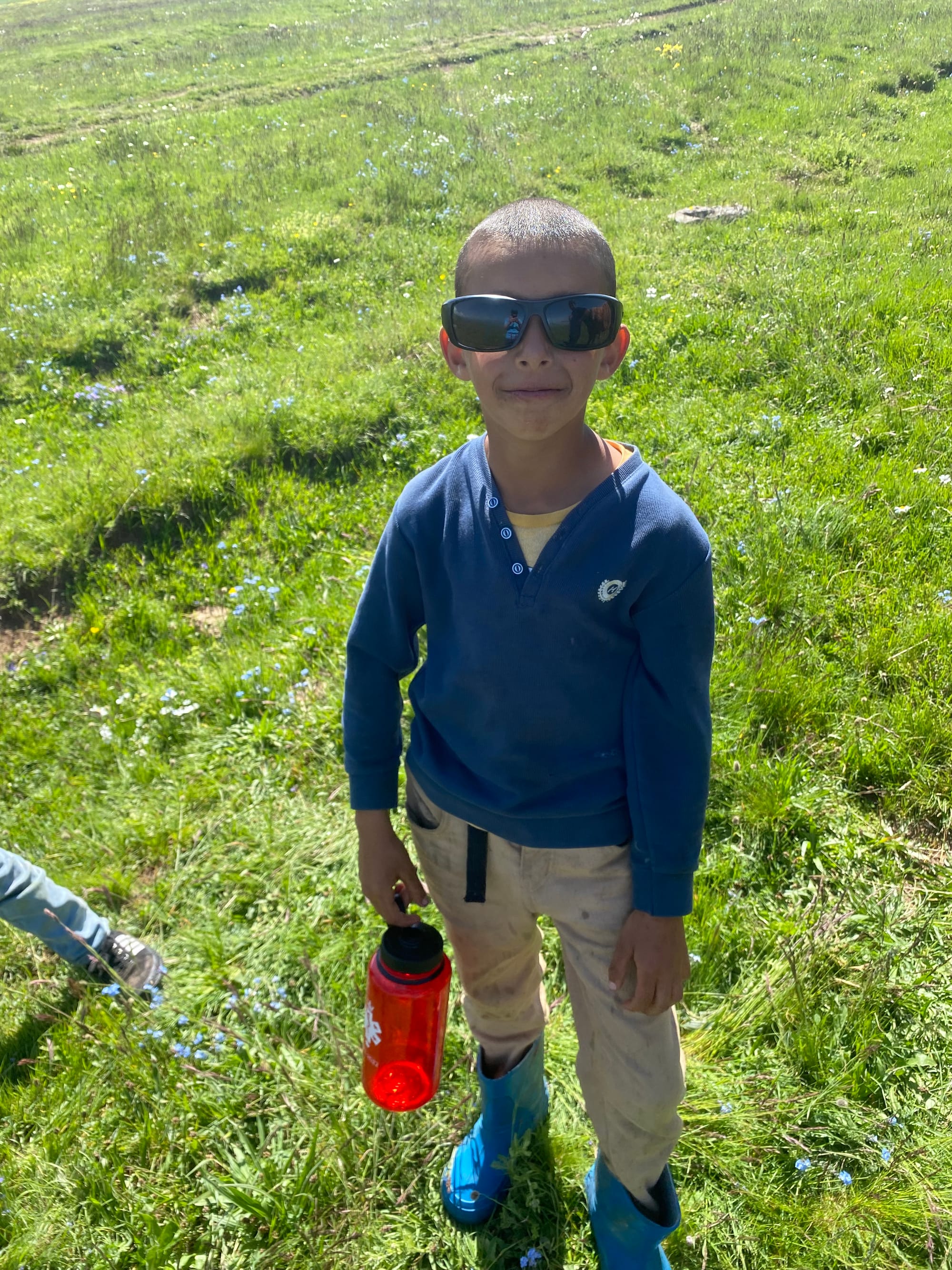
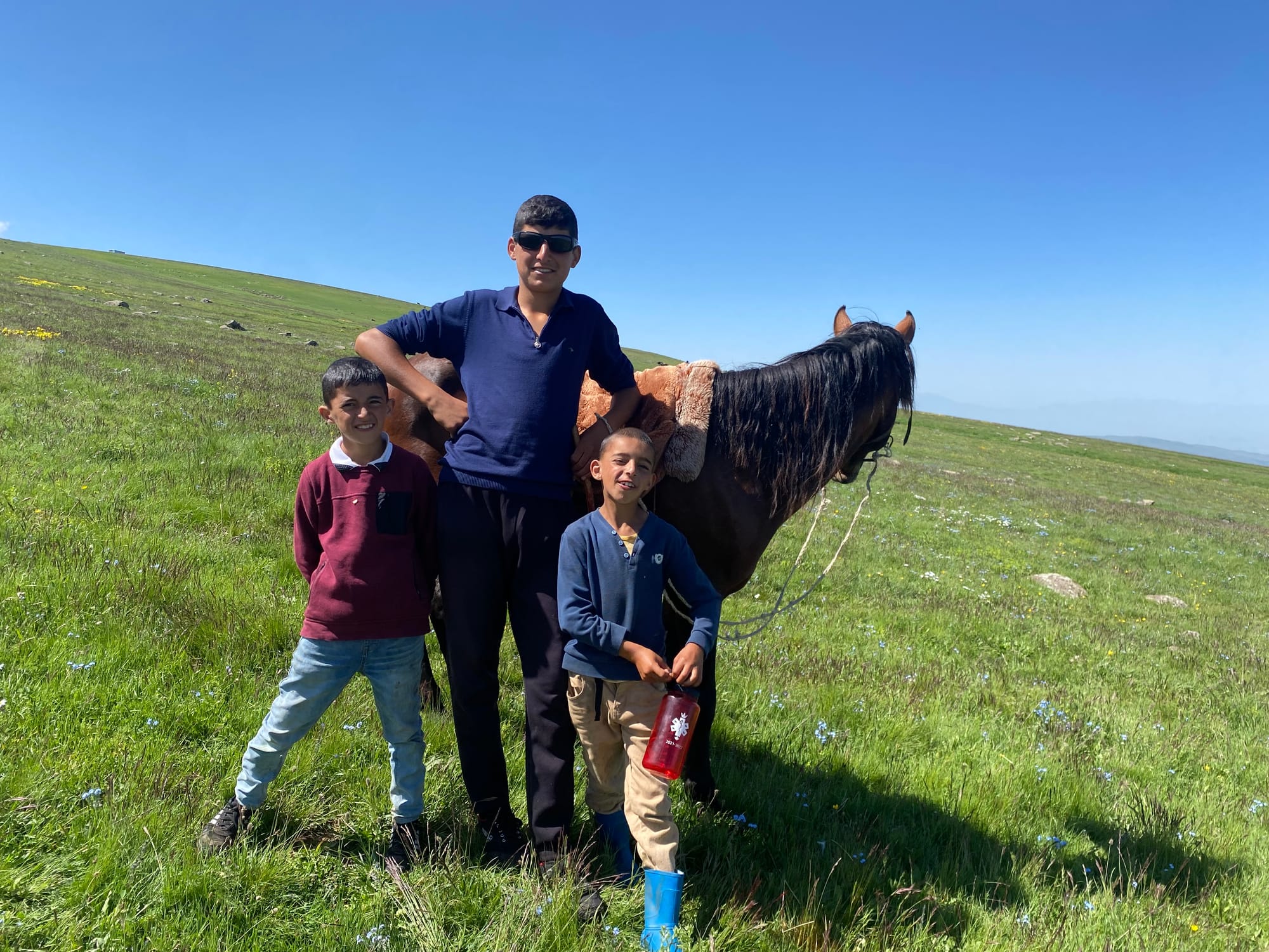

At the hut, I had some strong coffee and shared my snacks with the family. Interestingly, Maxim’s father Hasim spoke very good English, and had recently returned from a Kurdish conference in Lebanon. The shepherds in the area are Yezidis, a branch of the Kurdish people. They graze sheep in the highlands for three months and return to town for the rest of the year. The route from Sevaberd gets very few tourists and most of them are in guided groups, so they were surprised to see me. I’m thankful for their hospitality.
Thanks to the coffee, the next couple kilometres went by quickly. I decided to take a shortcut, climbing Gekhmagan - one of the many volcanic cones dotting the plateau - instead of going all the way to the lake. As expected, the peak had excellent views of the lake, and I caught my first glimpse of Azhdahak itself. It looked deceptively close.
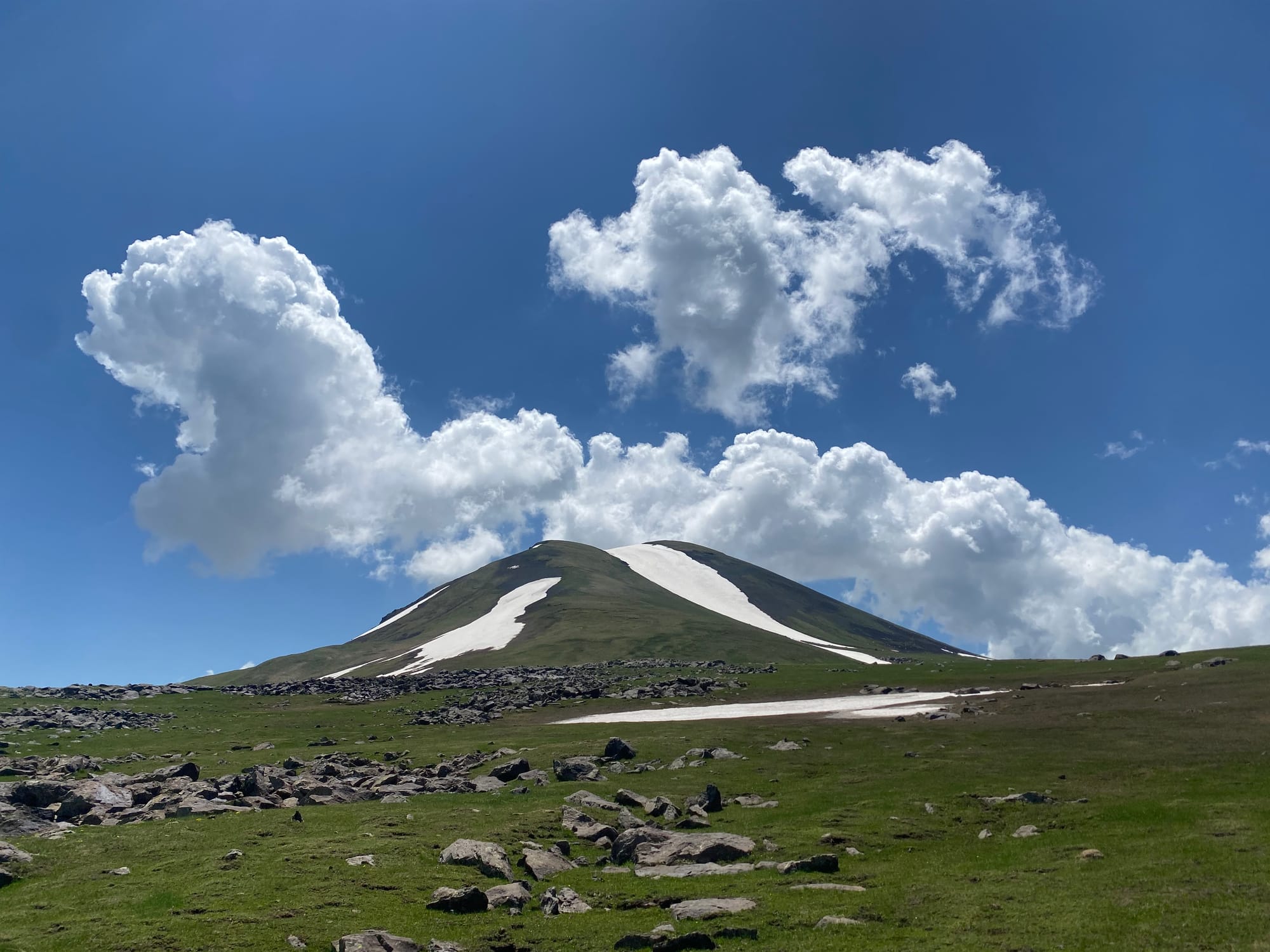
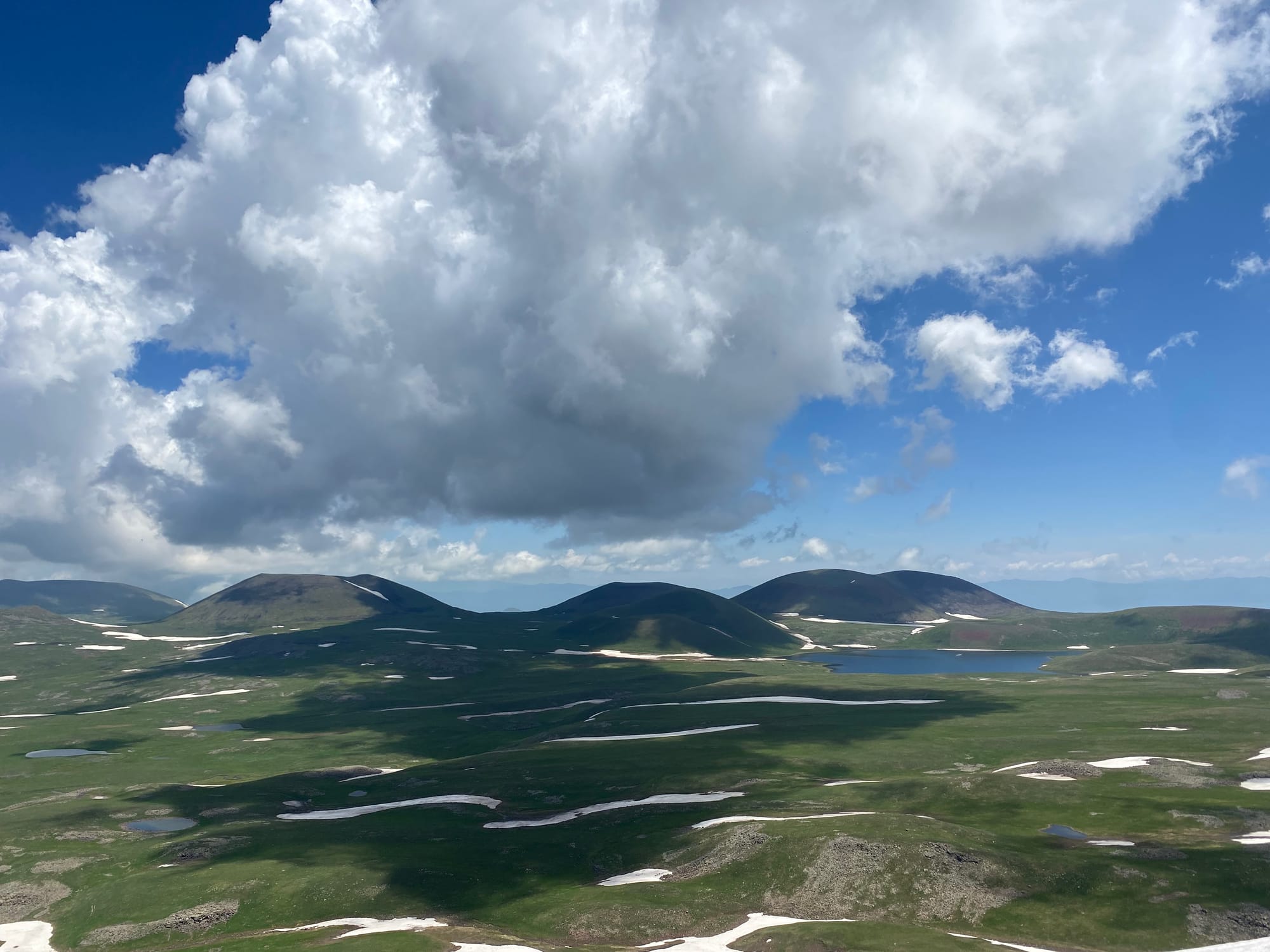
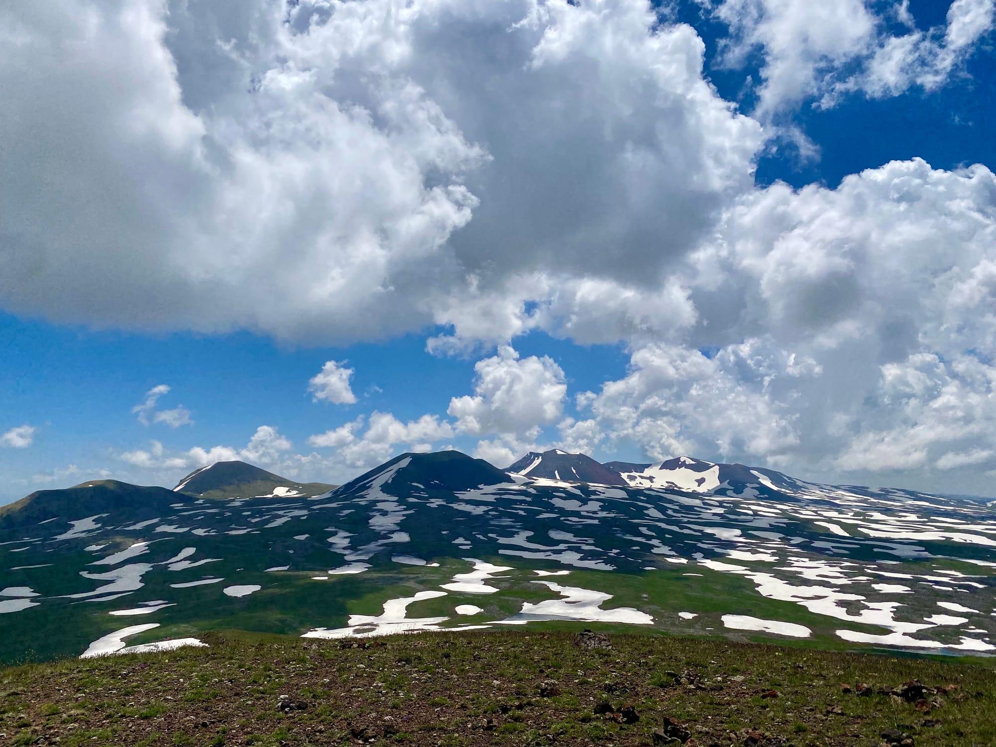
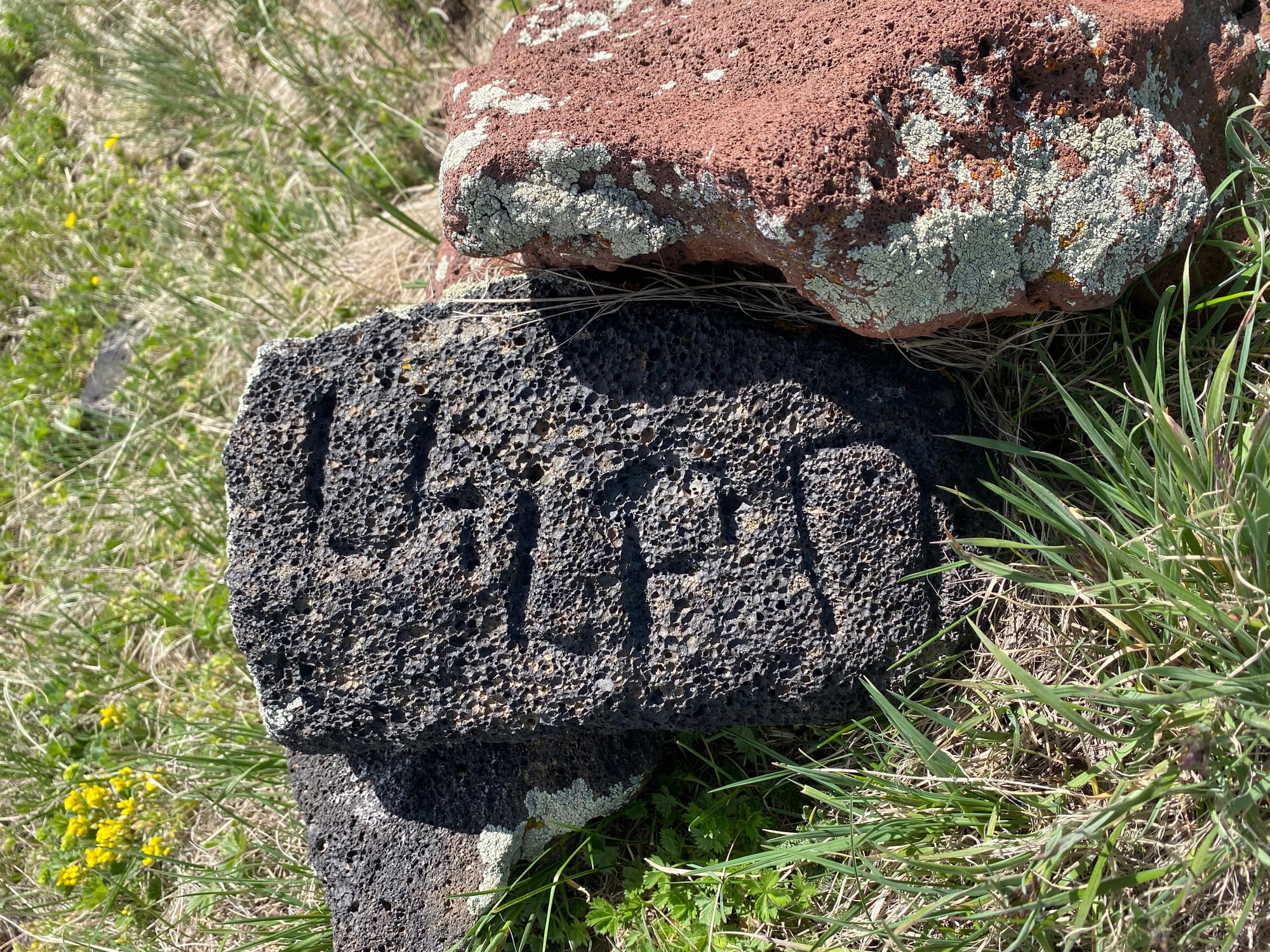
From Gekhmagan, I headed east to join the route of the Transcaucasian Trail, a thru-hiking route being built across Armenia, Georgia, and Azerbaijan. The route passes between two cones: Western and Eastern Aghusar. When I visited there was no defined trail, but it was straightforward enough to walk towards Azhdahak, whose red face loomed over the area.
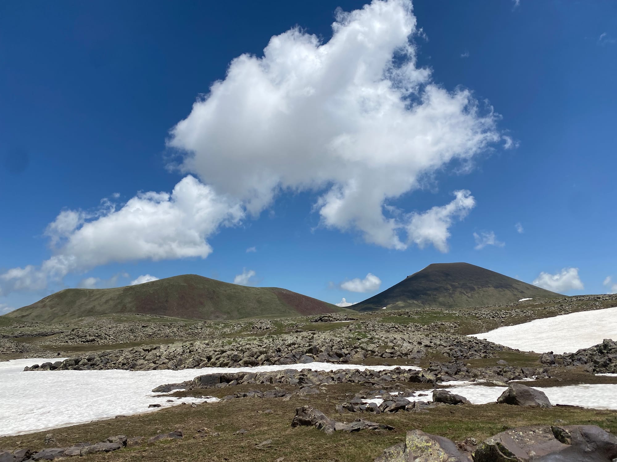
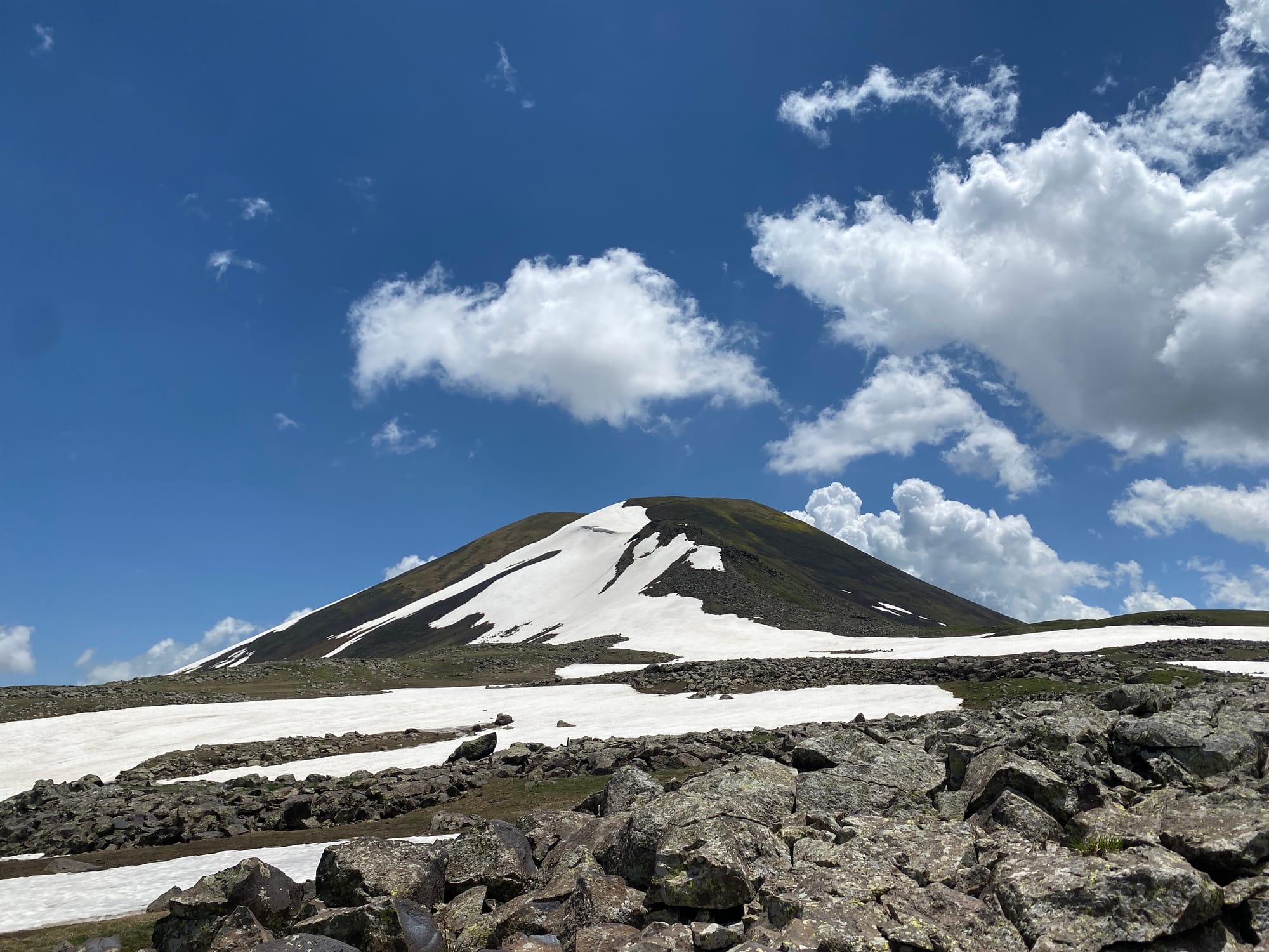
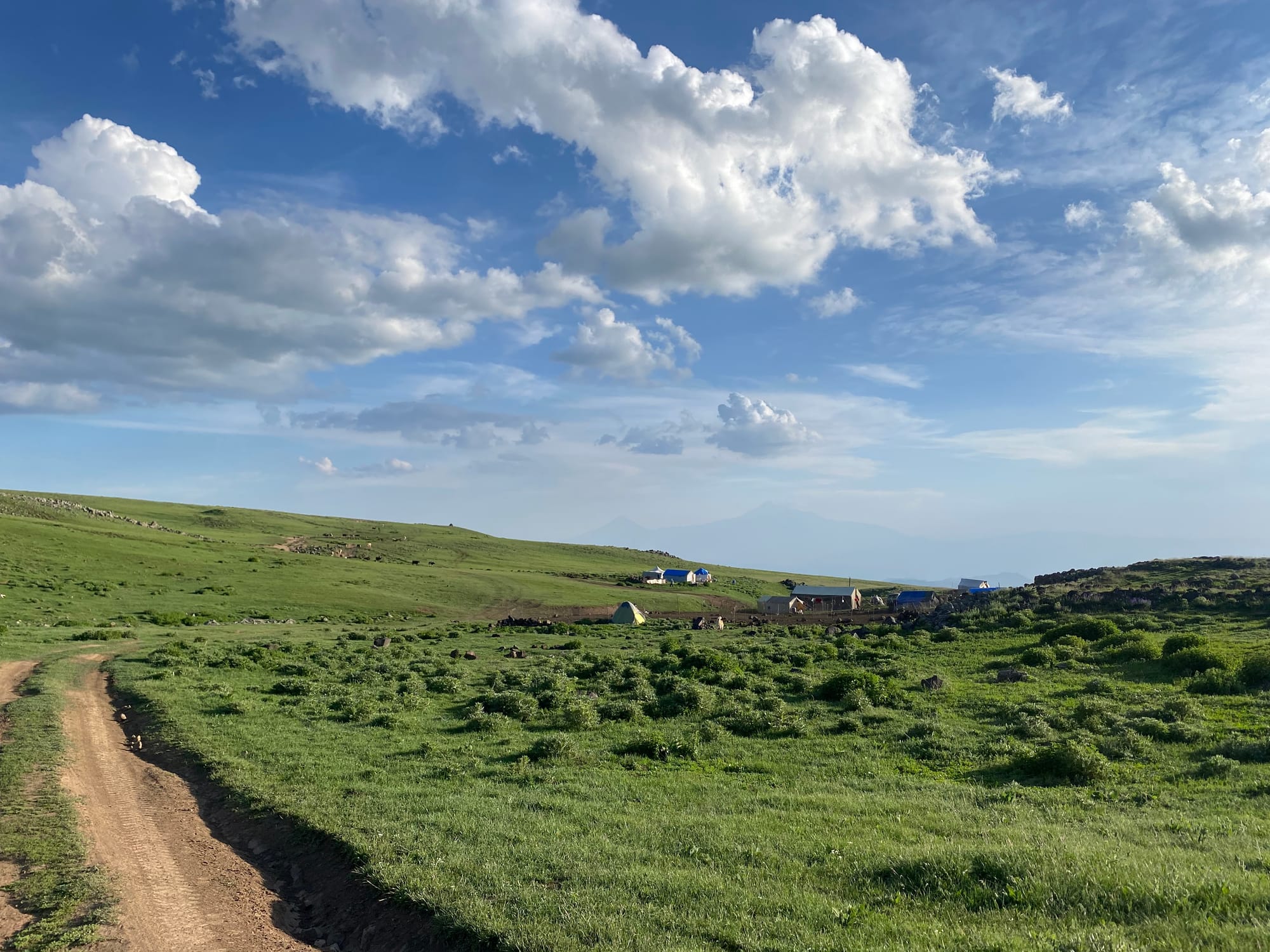
Just below Azhdahak I passed another campsite, whose inhabitants also invited me in for some tea. It turned out that this one wasn't a shepherd camp, but a tourist camp (operated by Highland Hostel in Yerevan). They provide a campground, tents, and food for people hiking Azhdahak or the larger TCT. The director was surprised to see a Canadian: apparently the vast majority of hikers are from the Czech Republic, of all places.
After a nice chat it was time to move on. There was some snow from the camp onward but it was manageable. I walked to the southwest corner of Azhdahak and hiked up the valley between the cone and a side peak, making detours to avoid snow patches. (If the snow’s melted, I’d recommend following the well-defined trail instead of my GPX track.)
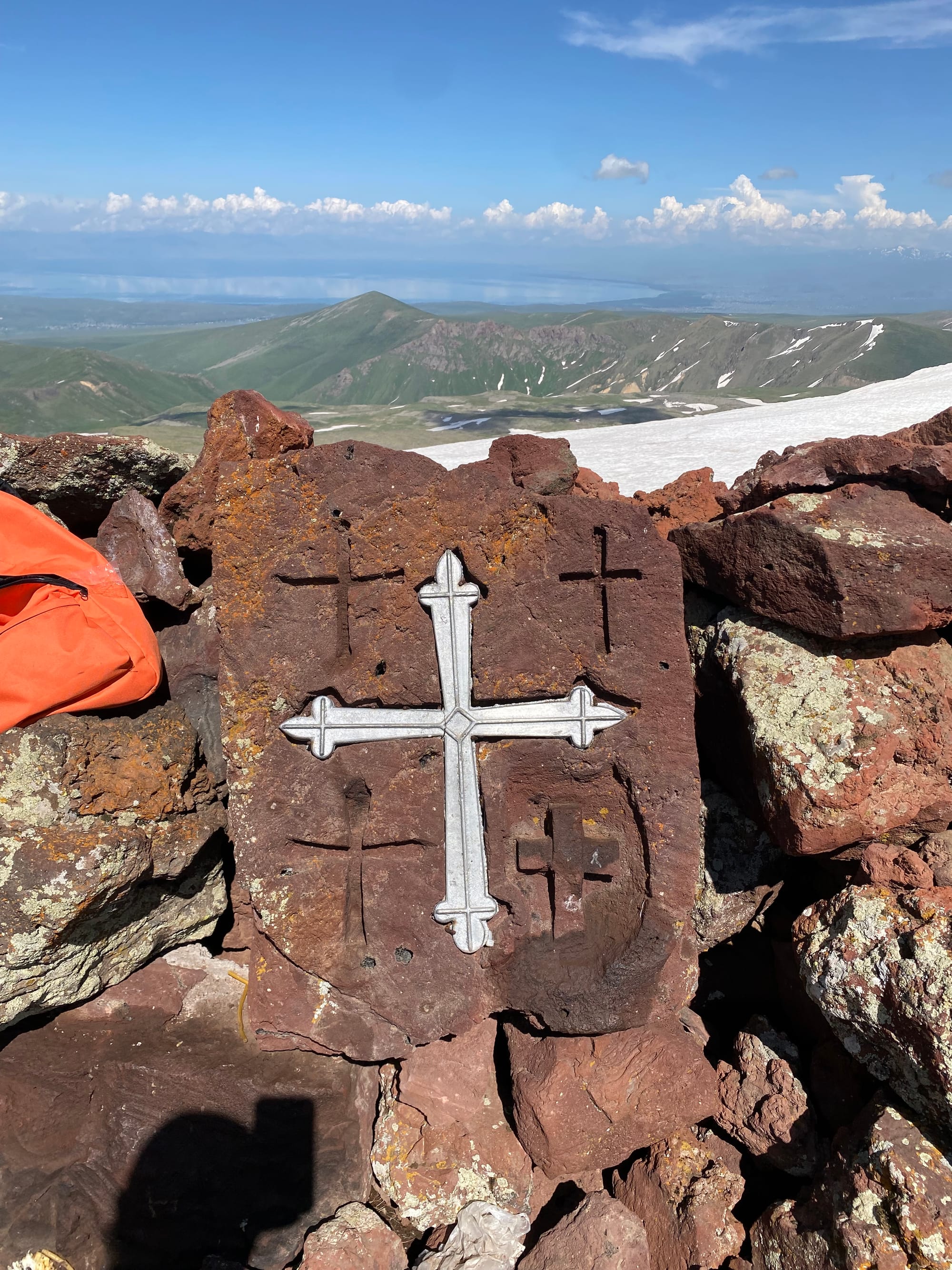
Eventually I reached the summit, perched above the crater. I had stunning views of the entire Gegham Mountain range, including the terrain I’d crossed in the morning. There was a guided group on the summit, who had driven a Jeep to 3200m. When I mentioned that I hiked all the way from Sevaberd, the guide offered me some coffee. I hung out on the summit for a while then looped around the crater lake.
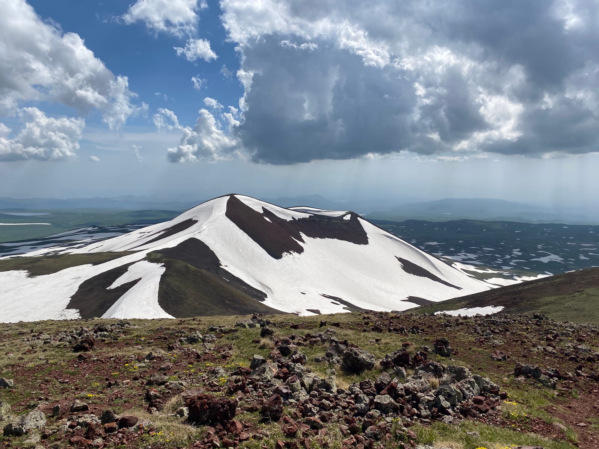
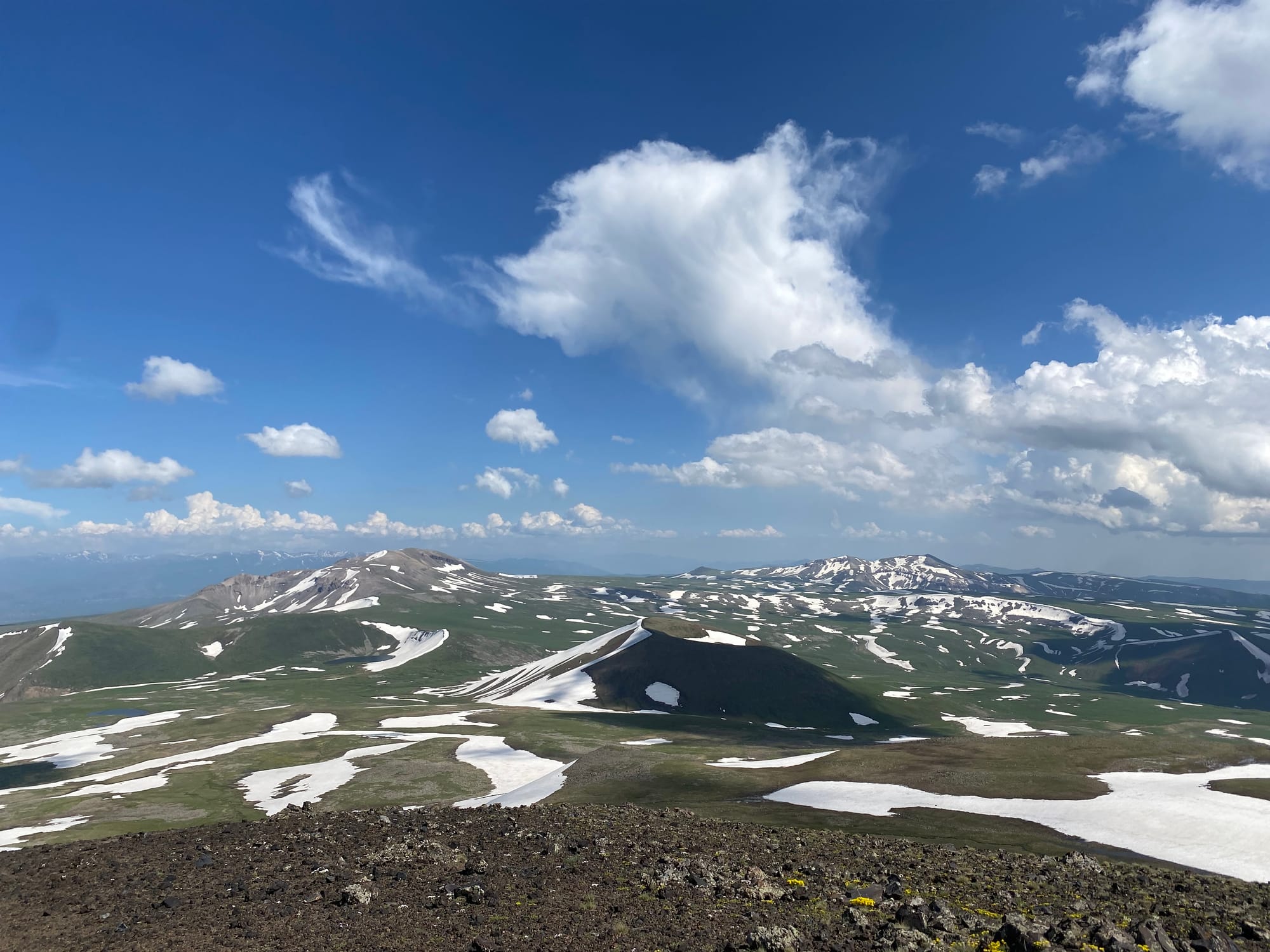
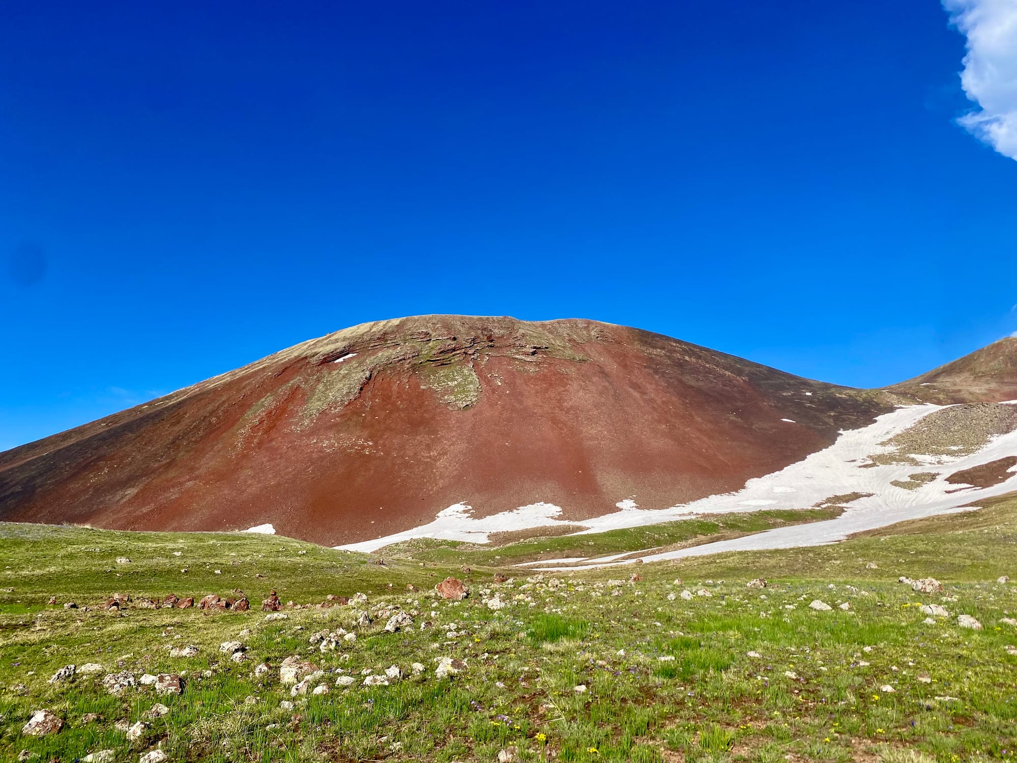
Eventually it was time to head down. The dirt road to Geghard was much more defined than the route from Sevaberd. I broke my no-music-on-trails rule, got my headphones out, and jogged down the dirt road, staying extremely vigilant for dogs. I turned the music off and stopped running when within sight of shepherd camps. At one point I had to make a detour around a large flock of sheep. At another point, a dog ran towards me and started circling me, but its owner quickly calmed it down. Hiking poles or a large stick would have been useful for safety.
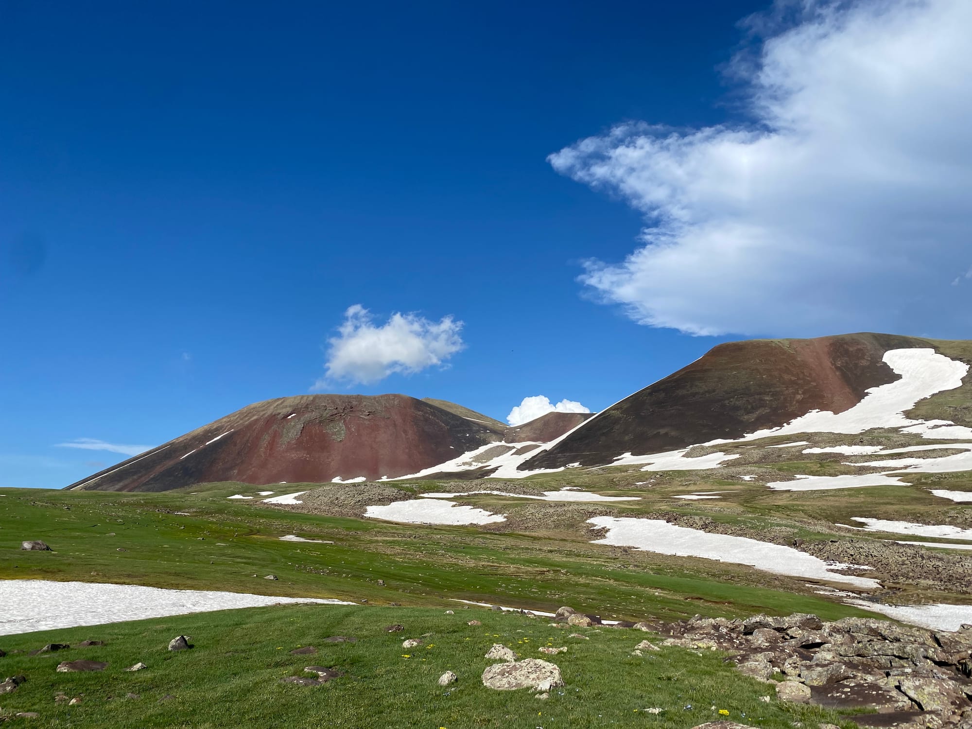
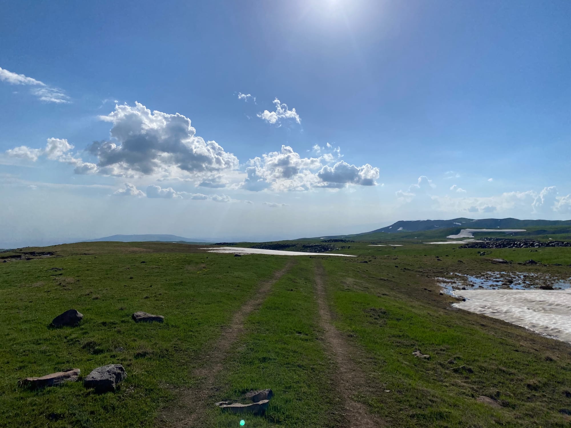
About 1.5km away from Geghard, sunset was approaching, so I flagged down a passing car and got a ride to town. After some linguistic misunderstandings we eventually found a taxi to take me to Yerevan. I arrived at the hostel in the evening and slept very well.


Member discussion