Alpen Mountain
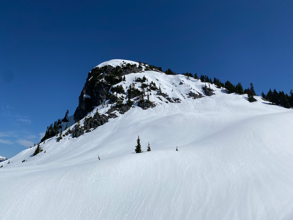
Date: May 11, 2024
Distance: 9.16km (Up to 18km, depending on FSR accessibility)
Elevation gain: 701m (Up to 1290m, depending on FSR accessibility)
Alpen Mountain, located east of Squamish, is a prominent peak that offers stunning 360-degree views from its summit. The last kilometre to the summit involves some steep sections and avalanche terrain. Although it is well-known among ski tourers and snowshoers in the winter and spring, it remains a somewhat obscure destination for regular hikers.
Most of the route follows a logging road, so the hike's length is very dependent on the current snow line. We visited Alpen in May, allowing us to drive most of the way up the road while still avoiding bushwhacking.
My friend Michal was in Vancouver for the summer and wanted to go hiking. I sent him several options and he picked Alpen Mountain, the most difficult one. At the last minute we were joined by Michal's UBC friend Asar and Asar's friend Kenny. We met up at UBC and drove north to Squamish, taking pictures of Kenny on his motorbike along the Sea-to-Sky.
Thanks to the pipeline work, the Mamquam FSR was in excellent condition. At 49.717132, -123.039373, we headed south on the Alpen Mountain spur road. This was rougher than the Mamquam FSR, and had several small waterbars, but I could still drive to around 1000m.
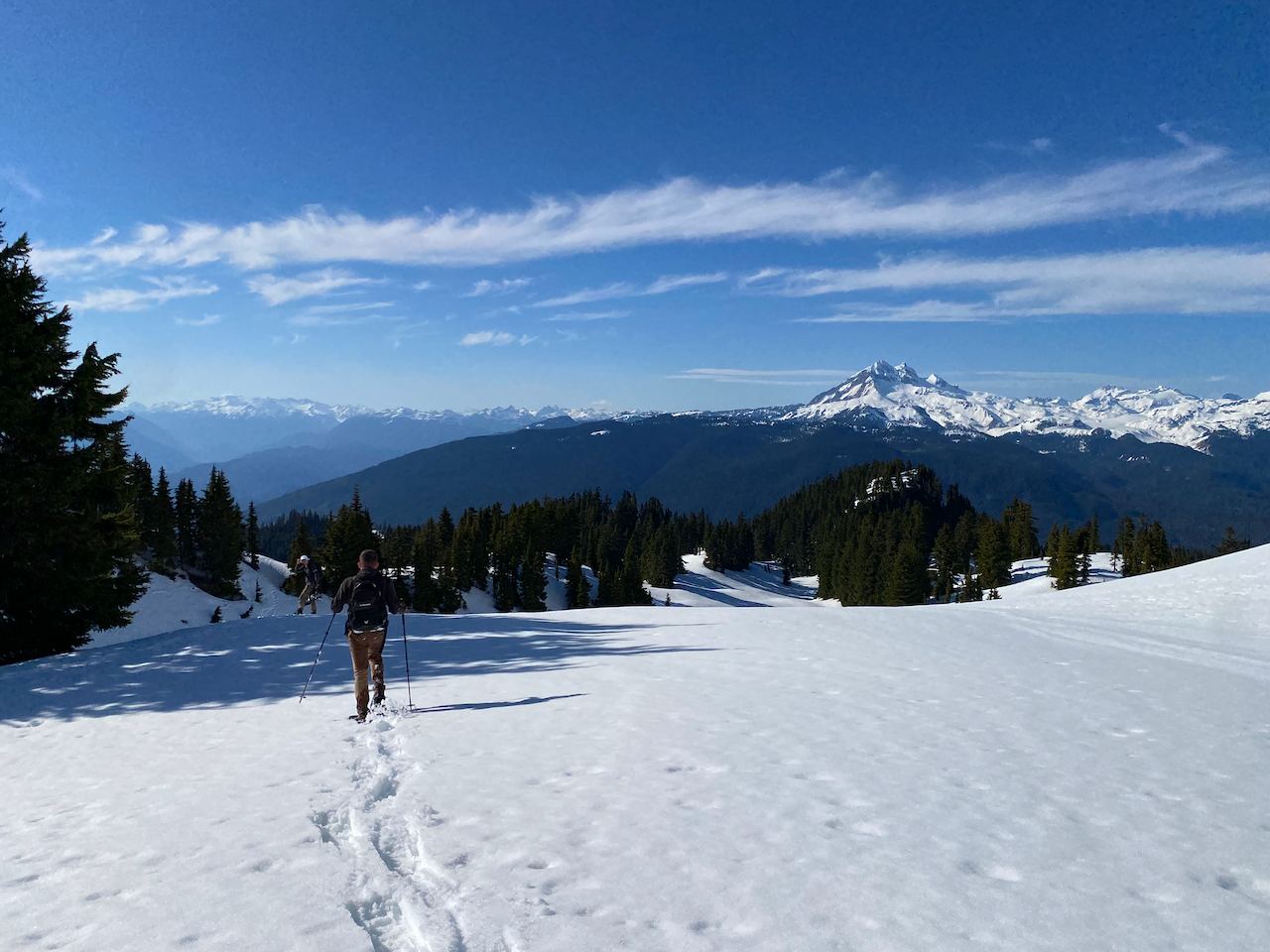
We put snowshoes on and plodded up the spur road for a while. There are many side branches, and a GPS or annotated map would be very useful here to avoid wrong turns. Good views of the surrounding mountains, especially Garibaldi, could be found through the clearcuts. Along the way, we were treated to some songs from Michal's hiking playlist, including a Bavarian marching song, which definitely inspired us to walk faster!
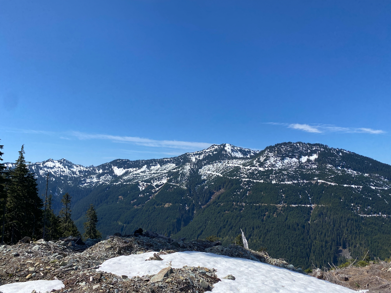
At about 1390m we left the road, heading up a steep hill to reach a small plateau. At this point the summit was about a kilometre away.
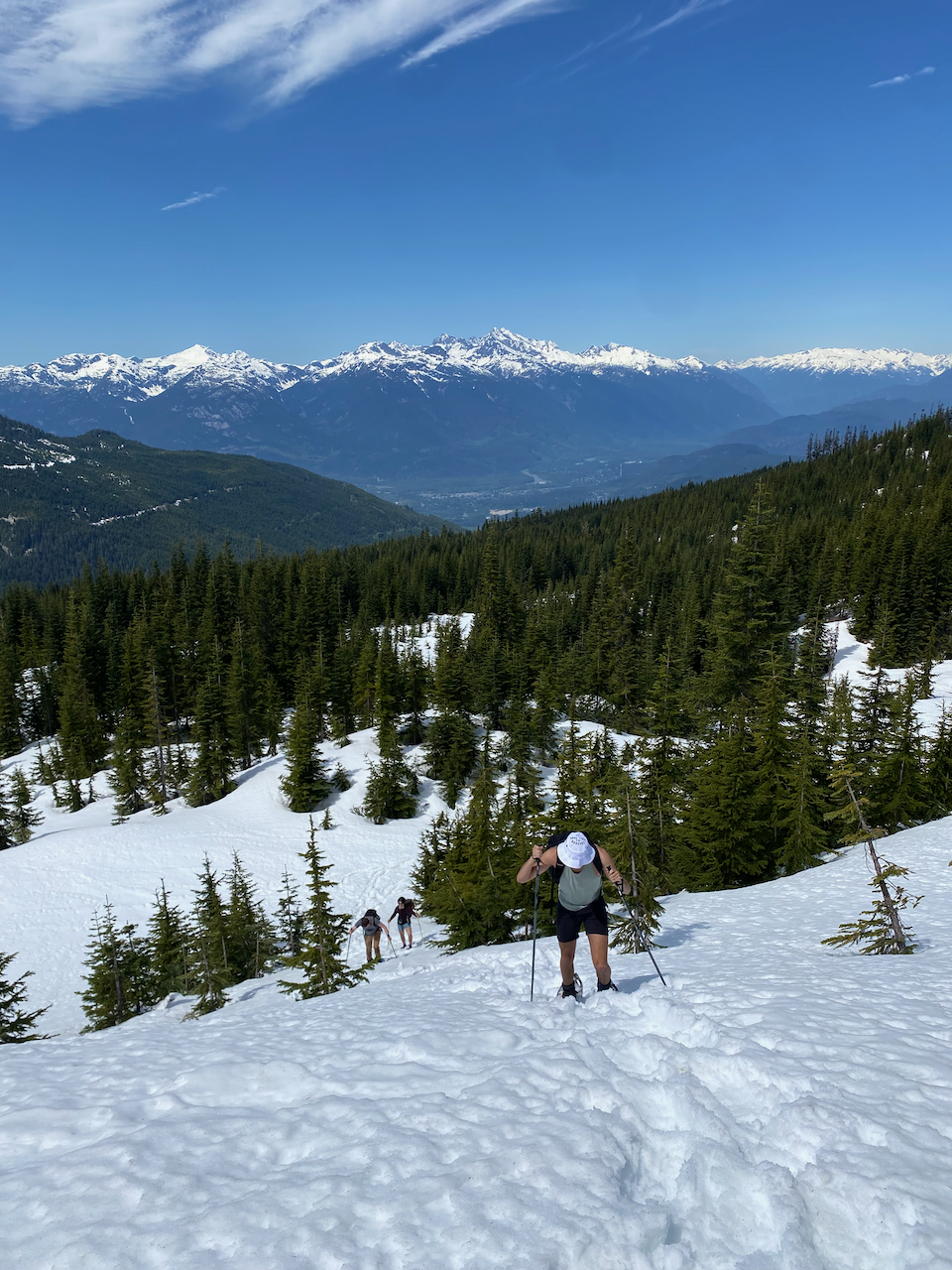
After admiring the views, we switchbacked through the trees to reach a wide valley, which gradually took us to slopes below the false summit.
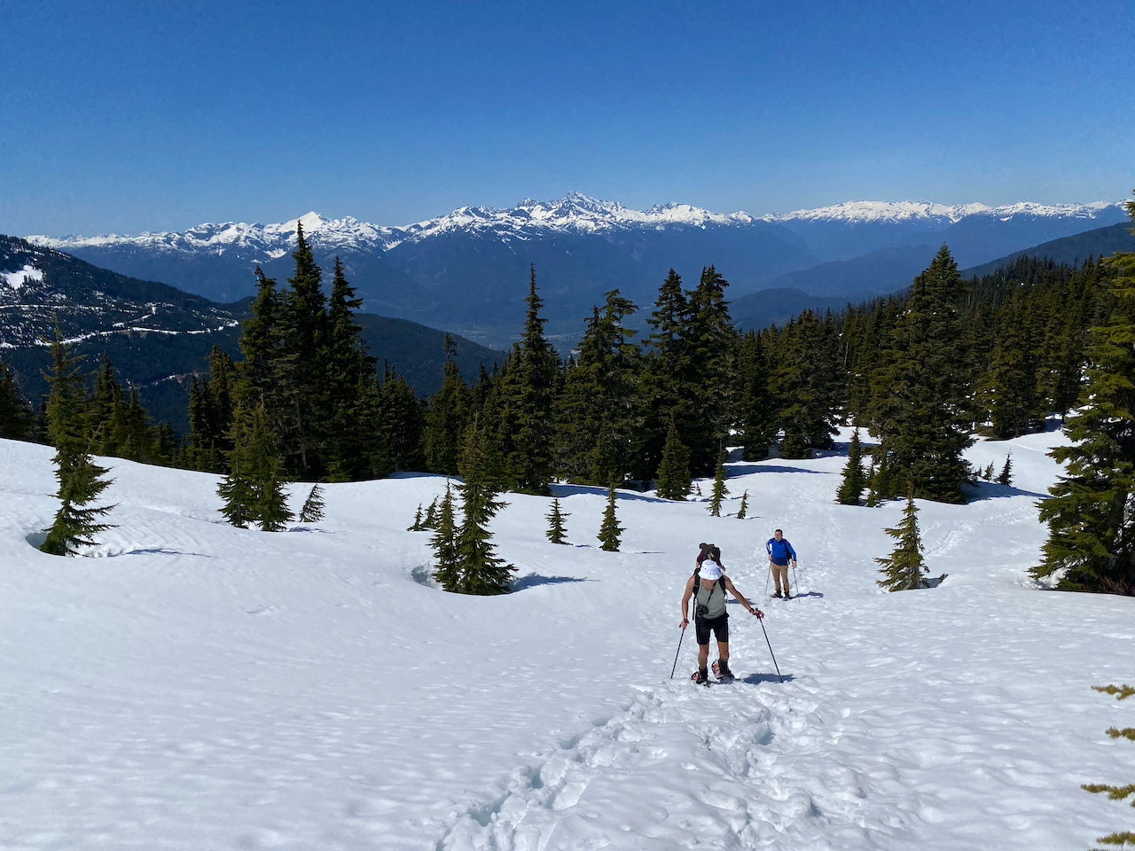
In order to get out of there, we had to traverse across a steep but non-exposed slope, which was tedious. We were mindful of the fact that this section passes through some avalanche terrain, and we didn't linger. Eventually we reached a ridge and got our first glimpse of the summit block.
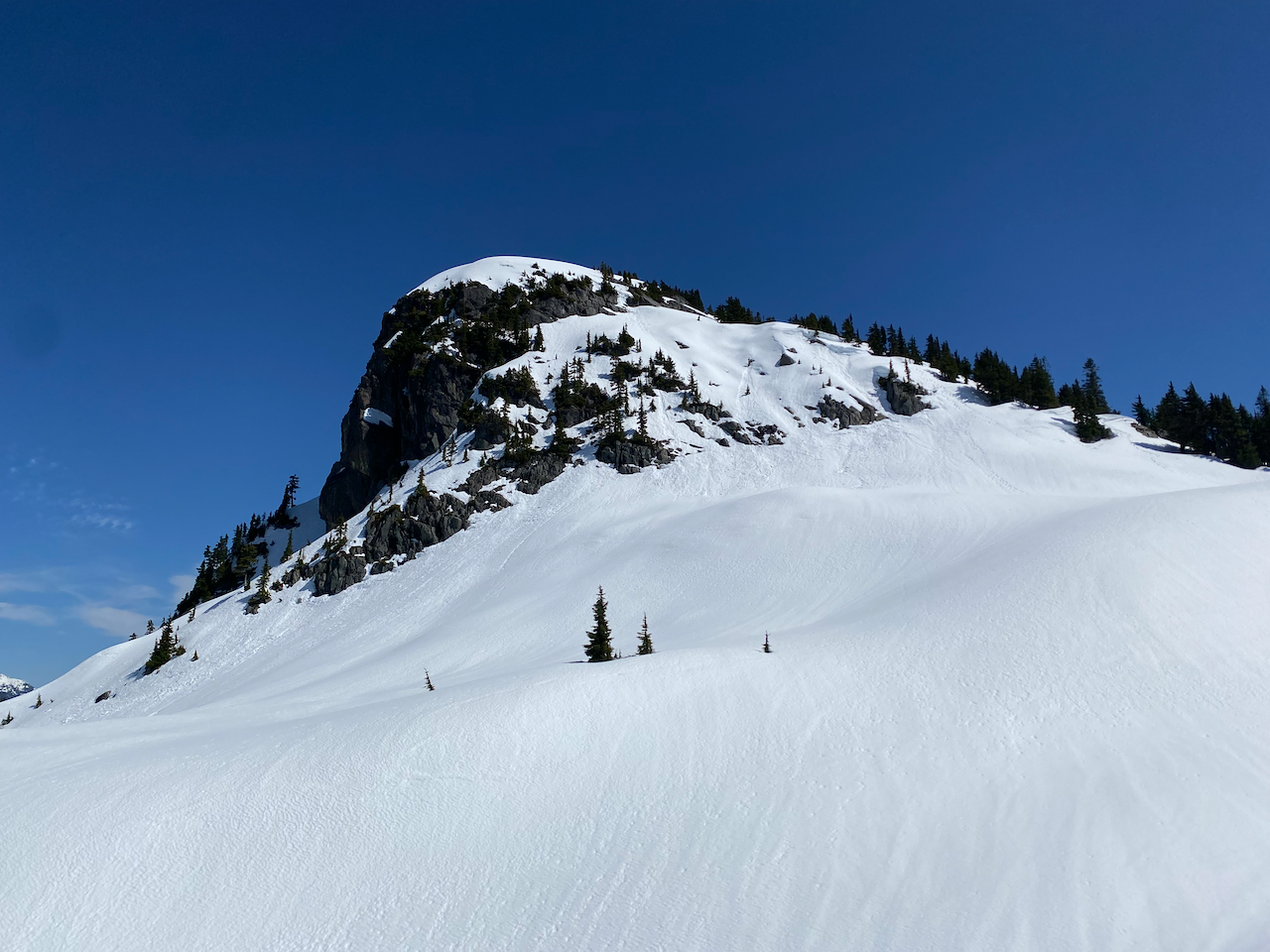
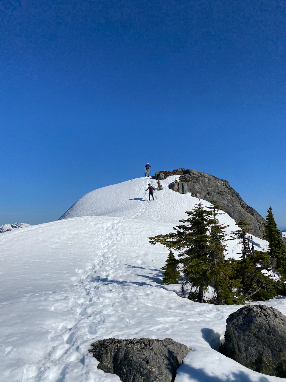
To avoid losing elevation, we traversed west of the false summit, then climbed up toward the real peak, sticking close to the treeline. This ascent, especially the last 50 vertical metres, involved several longer sections of steep snow and was more difficult than we had anticipated. One of our group took a break in a sheltered area while the rest of us pushed on.
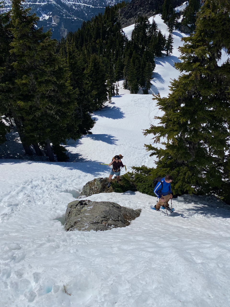
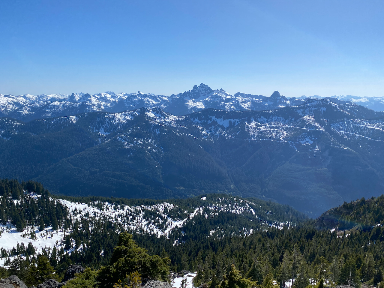
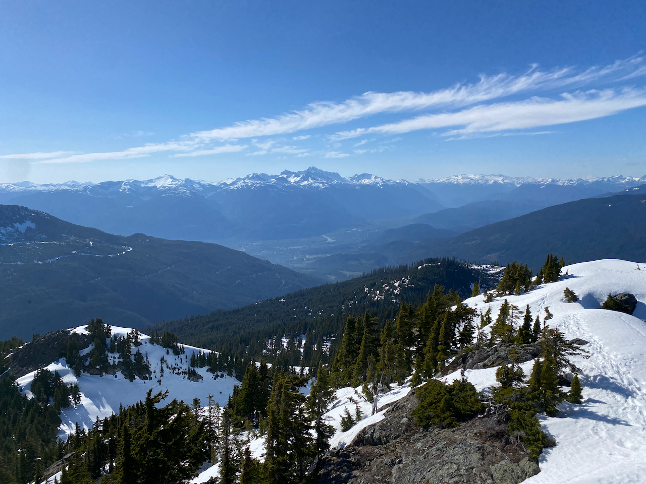
Most groups approach the summit from the south, but we zigzagged up the western side, a class 2/3 scramble. Once on top, we enjoyed the incredible views on this bluebird day. Garibaldi and Mamquam loomed on the horizon. To the south, we had front row seats to Sky Pilot, with some obscure North Shore Mountains behind it. Across the Mamquam River Valley, we could see Sedgwick and the entire Tantalus Range.
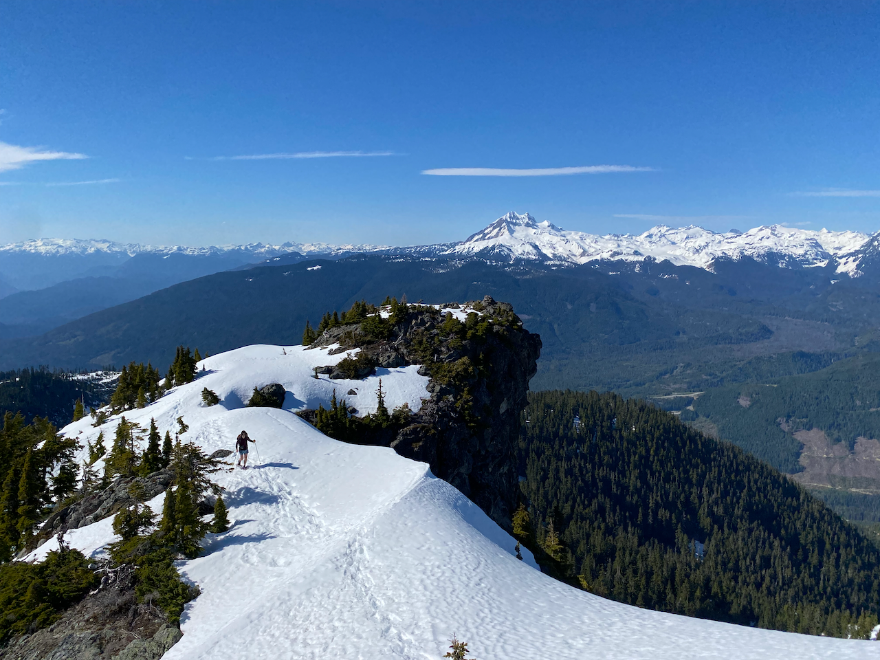
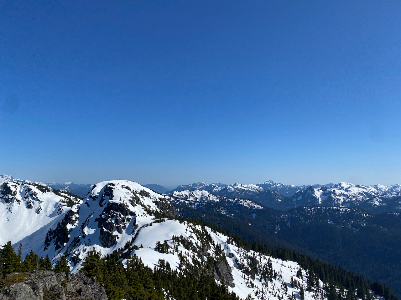
Note: Some trip reports suggest that Split Peak, located to the south, may be slightly higher than Alpen Mountain, but most sources, including Peakbagger and bivouac.com, agree that Alpen Mountain is the highest point on the ridge.
After savouring the summit views, it was time to descend. We retrieved our friend and retraced our steps down the slope, glissading at times. The slog back through the steeper area was made more difficult by the softened snow. At this point, we were getting somewhat exhausted, and snowshoers were compared to Soviet prisoners fleeing the gulag and Finnish soldiers in the Winter War. In retrospect, a shorter adventure would have been a good idea. We took a long break at the plateau above the road to catch our breath, then plodded back to the car, with some people singing to pass the time.
We drove down the road and enjoyed some beer and pizza in Squamish, a great reward for a grand adventure!


Member discussion