Ak Suu Trek (Jeti Oguz - Ala Kul - Kara Kyz)
The Ak-Suu Traverse is a nearly 100-km route through the Tian Shan mountains of eastern Kyrgyzstan, showcasing some of the best scenery the country has to offer. The full route starts at the Soviet resort town of Jeti-Oguz Kurort, surrounded by red rocks. It ascends mountain passes, winding past glaciers, lakes, and nomads’ camps, to the village of Jyrgalan. Almost all of the route is above 2000m, and much of it is above 3500m (my highest altitude was 3900m at Ala-Kol Pass), so the altitude adds to the challenge. The full route is usually done in about 9 days, but most hikers will do a shorter 2- or 3- day loop that includes Lake Ala-Kul and the hot springs at Altyn-Arashan, often with guides and/or horses.
I had four full days and two half-days and wanted to do the hike on my own. My plan was to start at Jeti-Oguz Kurort and hike east until I ran out of time. By starting at the Kurort, I wouldn't be too far from Altyn Arashan, and I could see some of the red rock formations that the area is known for. I ended up exiting the mountains at Kara-Kyz, around halfway to Jyrgalan.
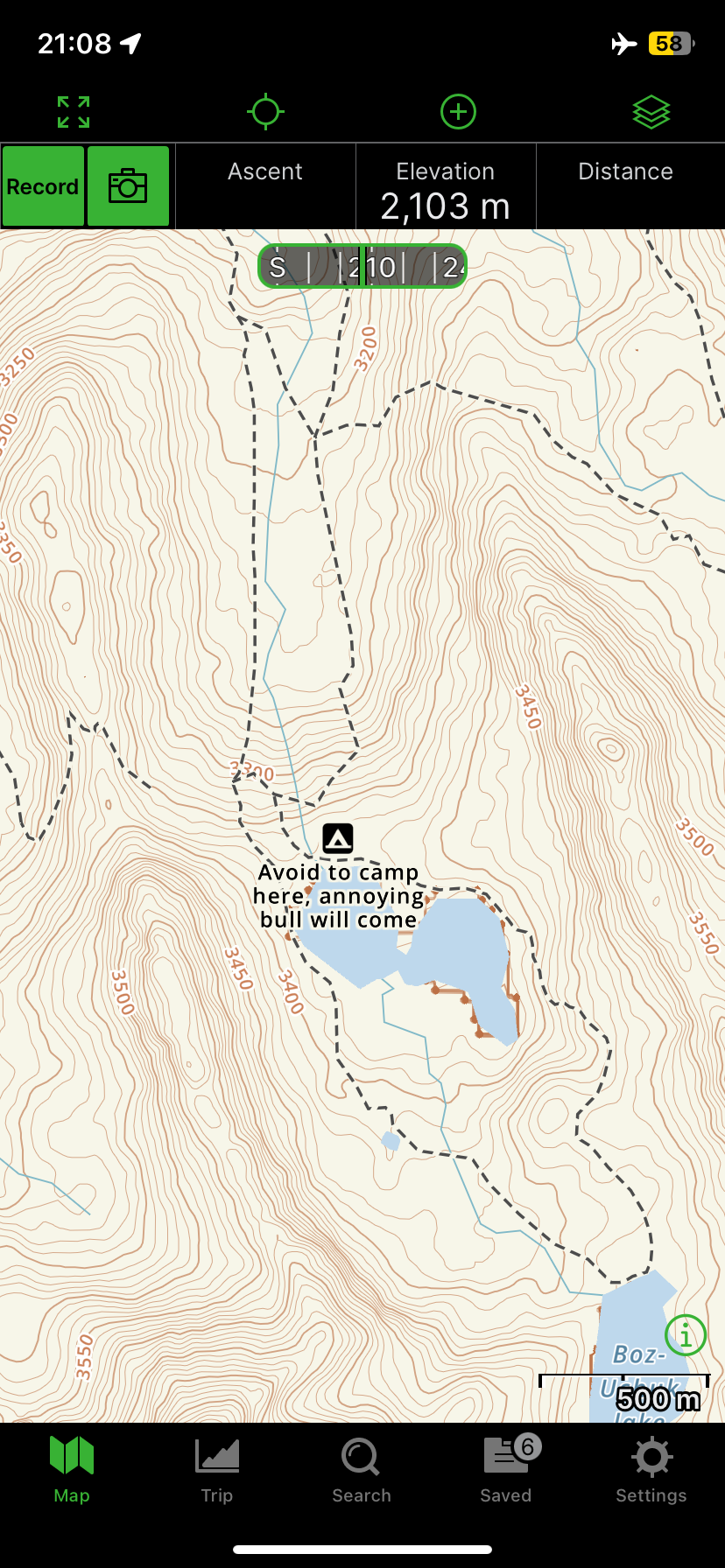
Most guidebooks and websites recommend using Maps.me for mapping purposes. However, if you’re willing to shell out some more money, I found that Gaia was much more detailed and included locations and descriptions of campsites.
June 10
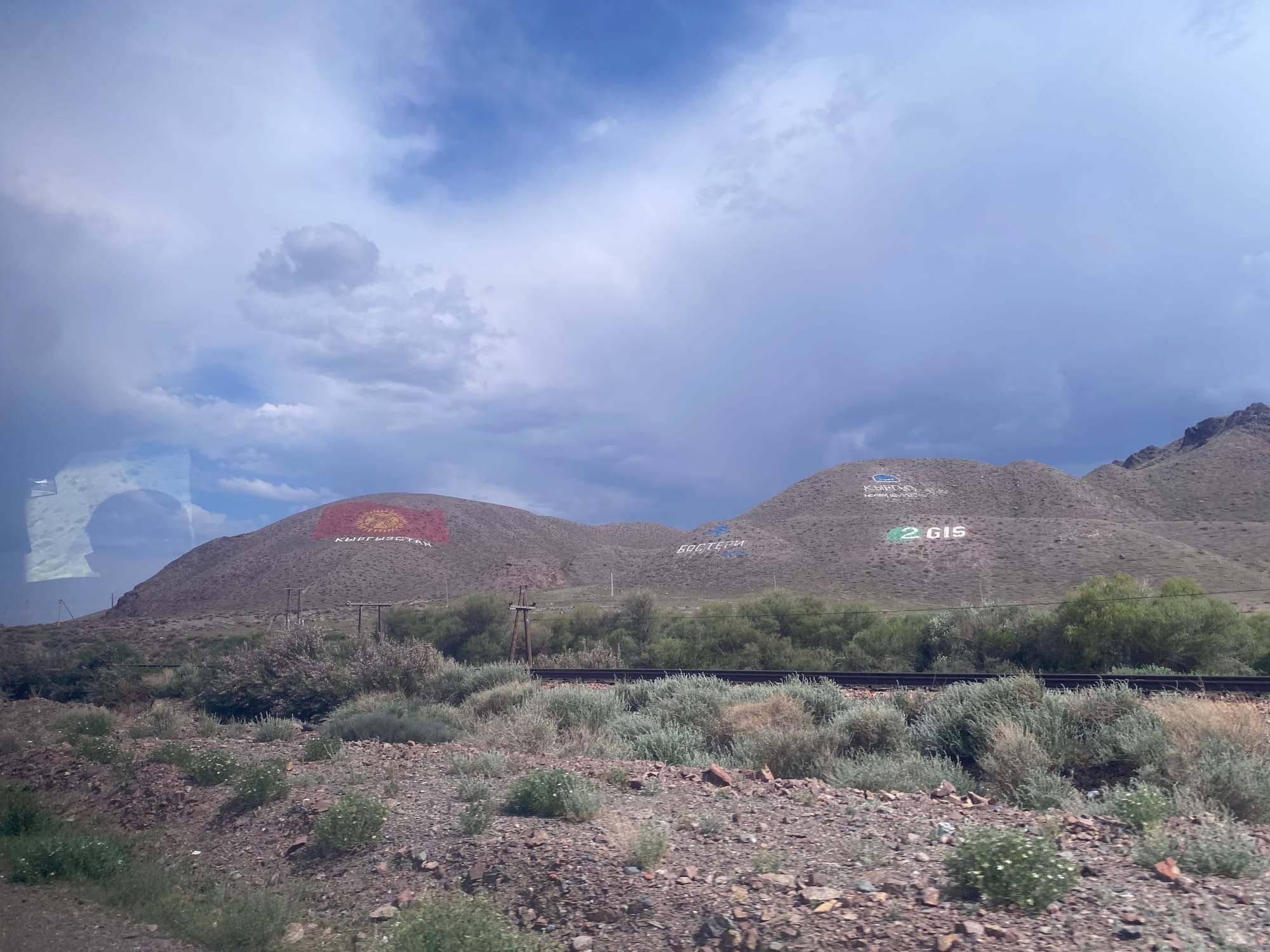
Some errands had to be run in Bishkek, including buying a paper map from the very helpful staff at Trekking union of Kyrgyzstan (TUK), who also gave me advice about conditions. After some delays, I caught a marshrutka (minibus) from Bishkek to Karakol, leaving around 12:30. The drive went along the north shore of Lake Issyk-Kul, wrapping around to Karakol.
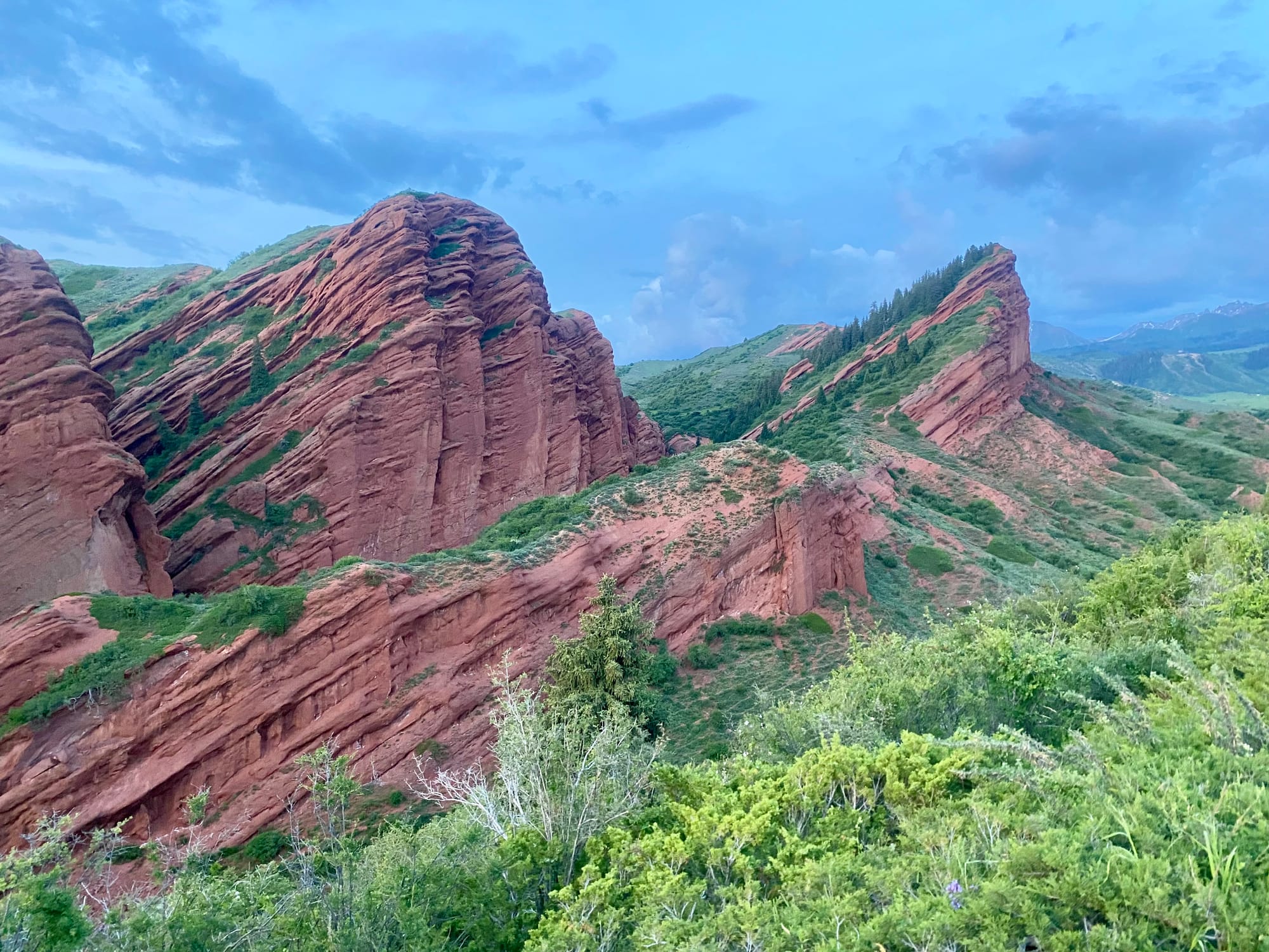
At Karakol I quickly found a taxi to take me to the resort of Jeti-Oguz Kurort, several kilometres north of Jeti Oguz and the furthest point accessible by taxi.
Along the way we passed some dramatic red rock formations: Seven Bulls and the Broken Heart.
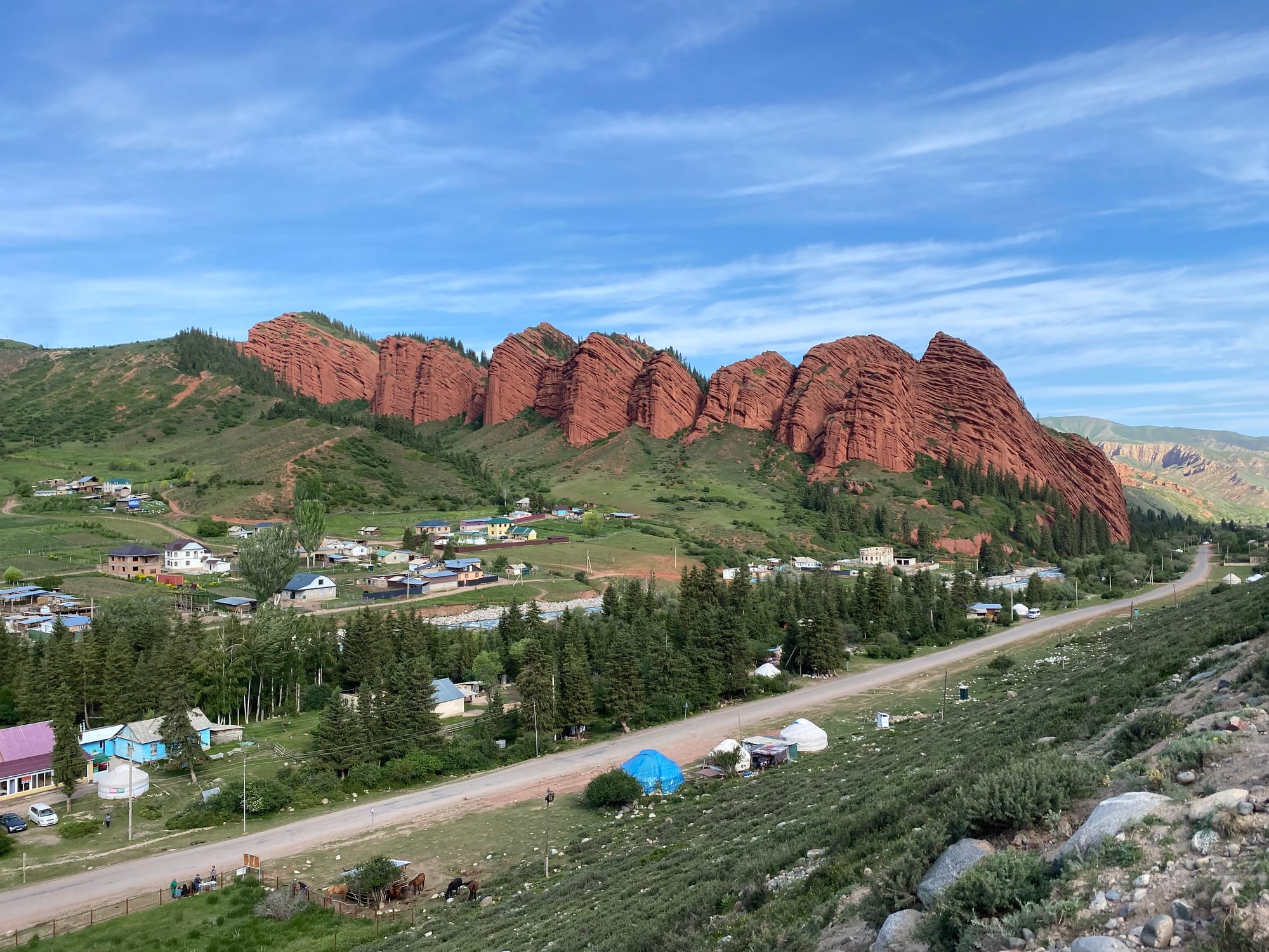
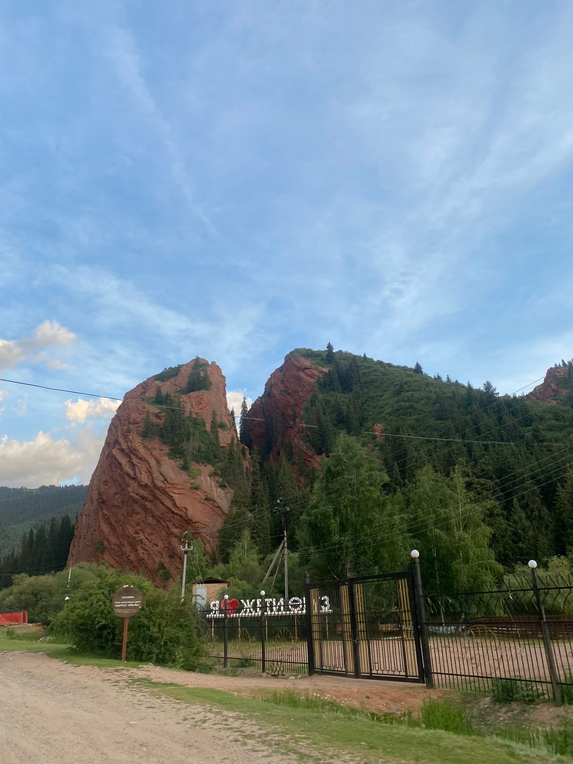
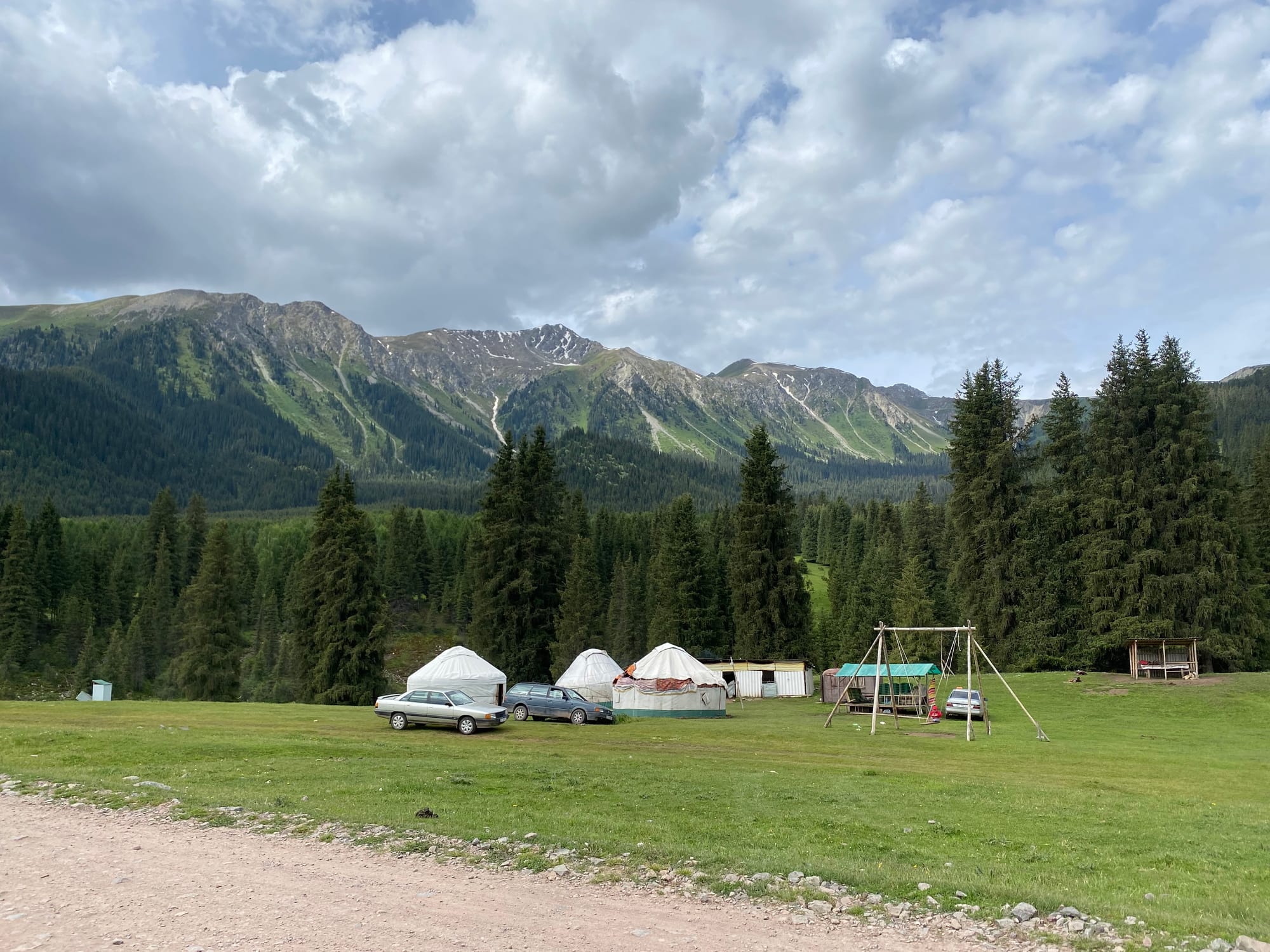
I hiked up a road to the east of town, reaching a great viewpoint of the red rocks. I set up camp for the night in a nearby field, staying far away from several yurts.
June 11
The first full day of hiking began. I walked along the road back to the Kurort, then followed it along a valley floor to the southeast. Every few minutes people driving old Soviet cars or riders on horseback would pass me, surprised to see a foreigner.
At this point I discovered that although I had downloaded the Kyrgyz language to Google Translate before the trip, it was no longer available. My phone had also purged itself of all languages related to Kyrgyz, although somehow Spanish, Tajik, and Russian remained. I was several kilometres out of service and couldn’t redownload. This caused some awkwardness later.
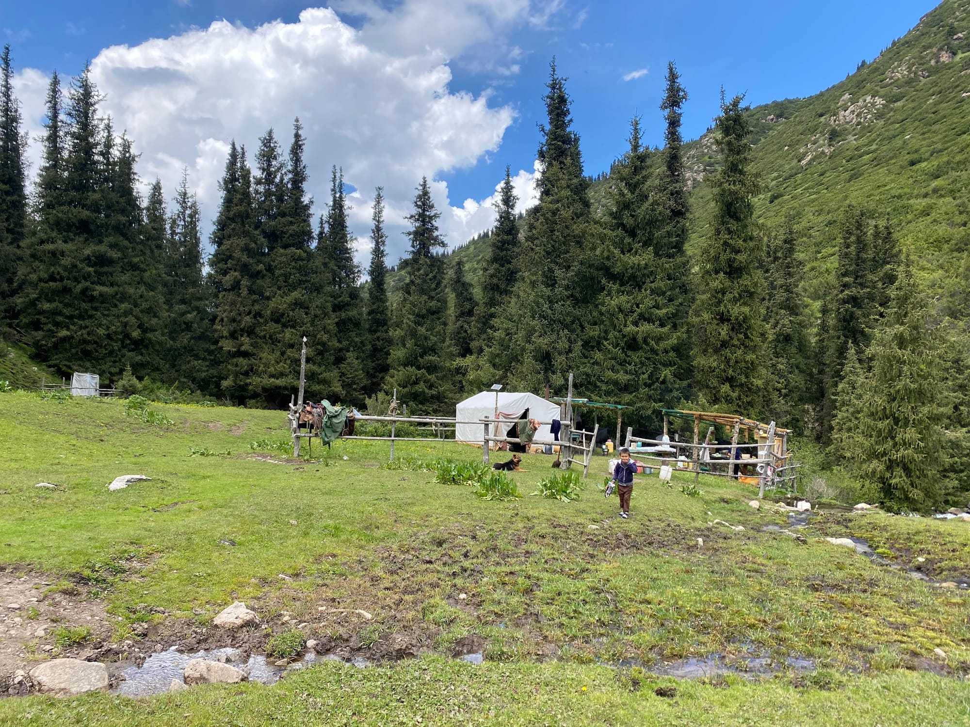
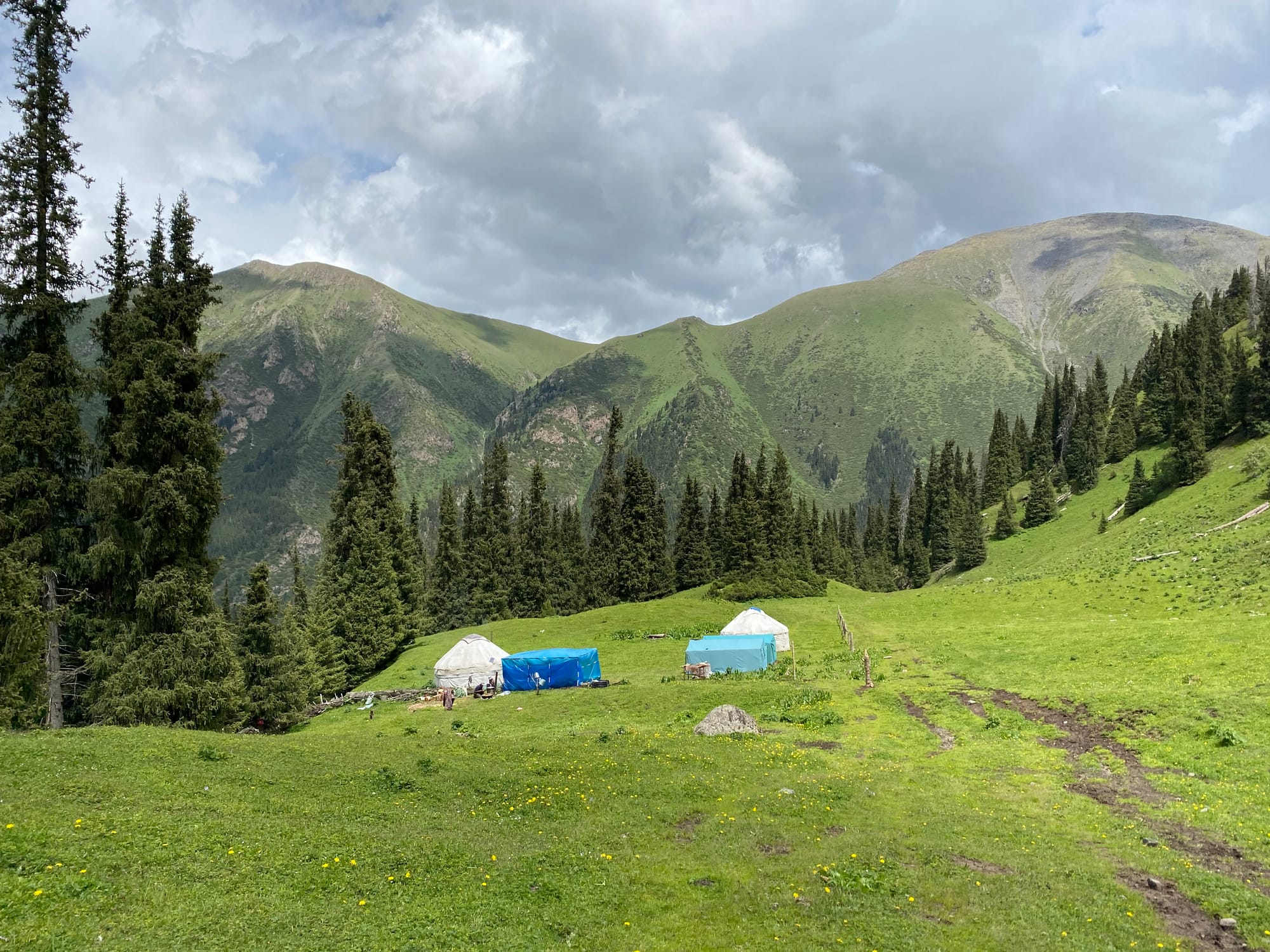
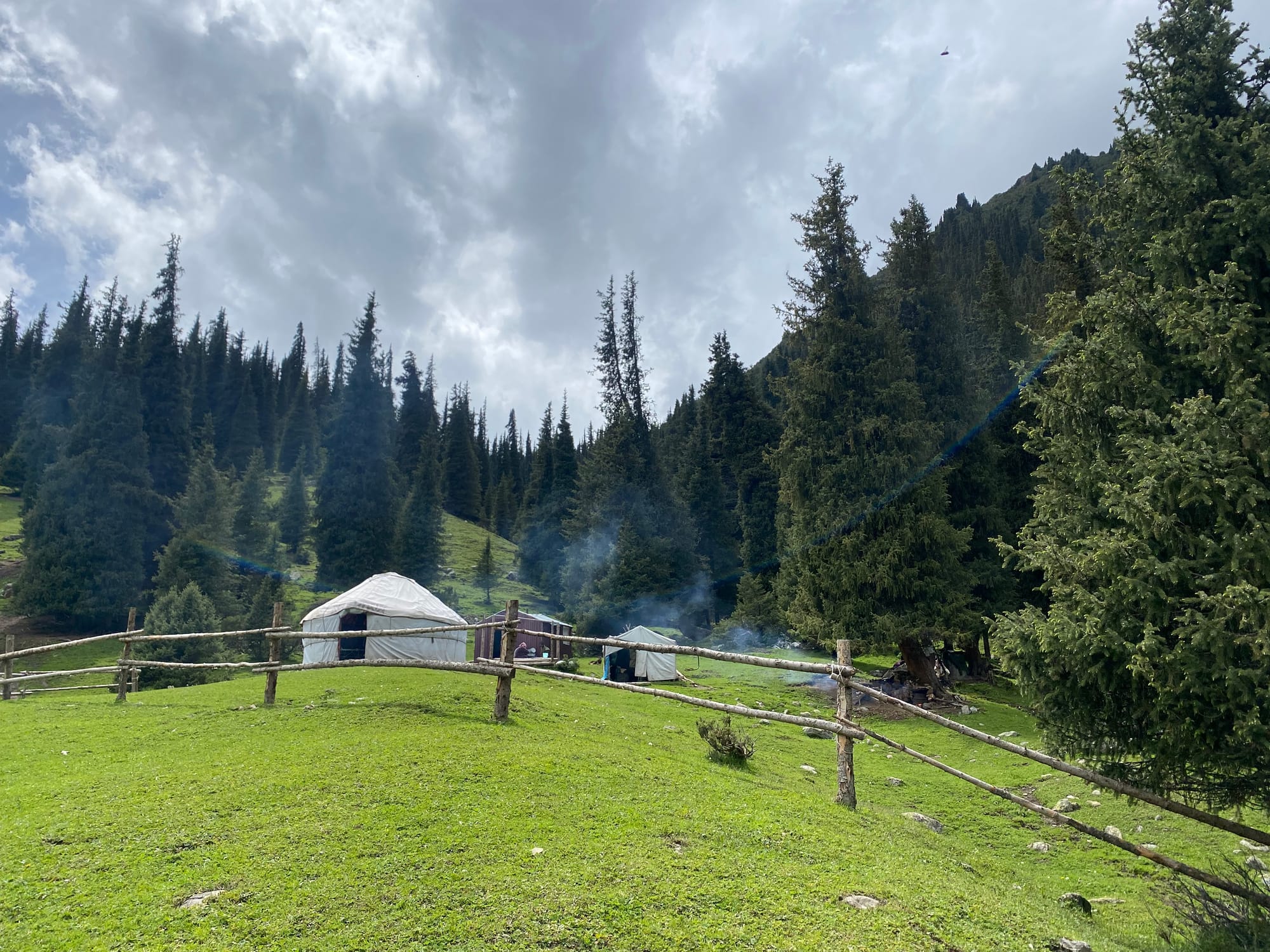
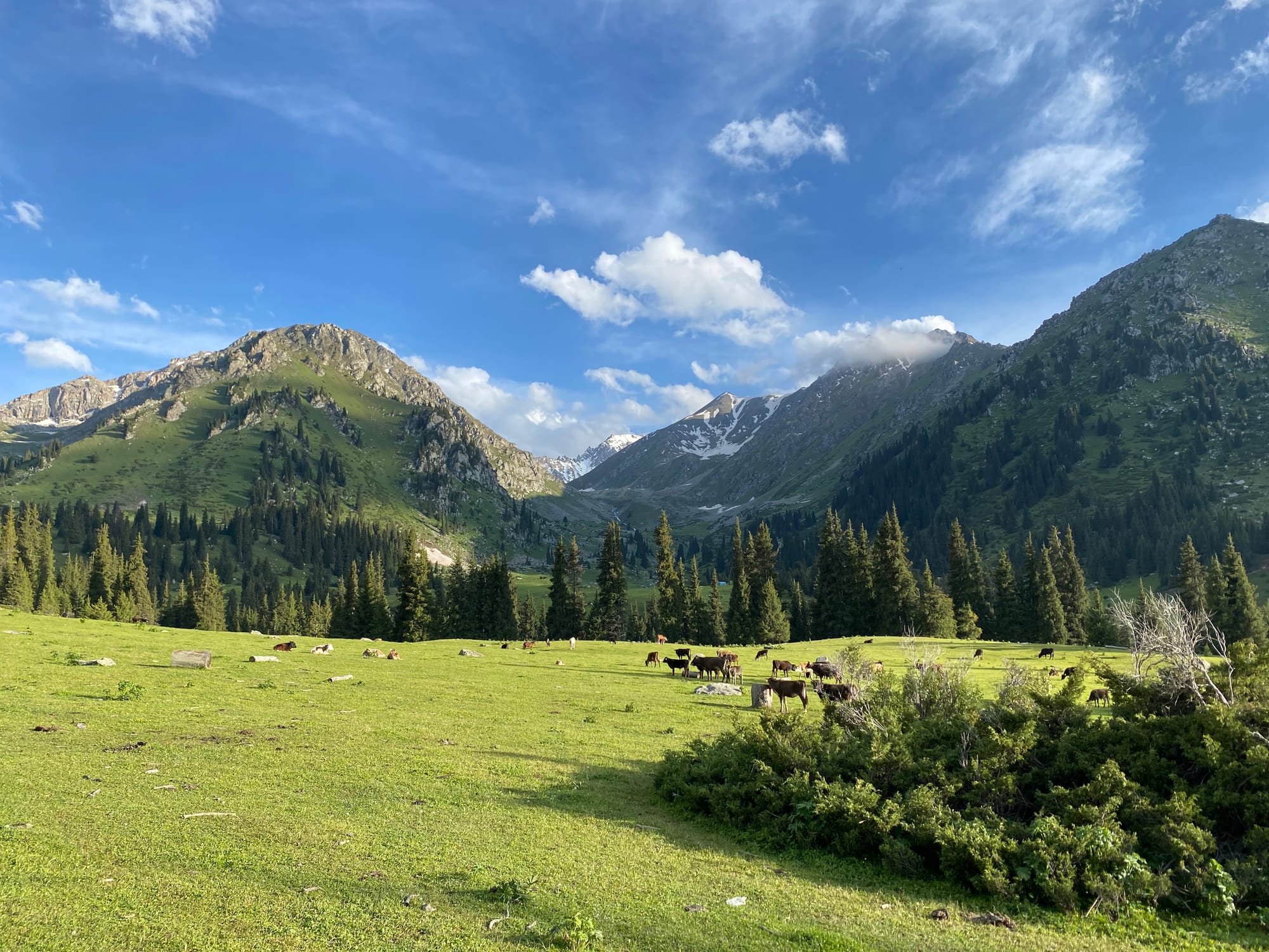
I ventured further up the river, passing increasingly impressive mountains. This section of the road had several yurt camps, some of which were built to house tourists, but most of them were inhabited by local shepherds. Tourism has reached this area. At one point a little girl - maybe 7 or 8 - came up to me and asked for money and chocolate.
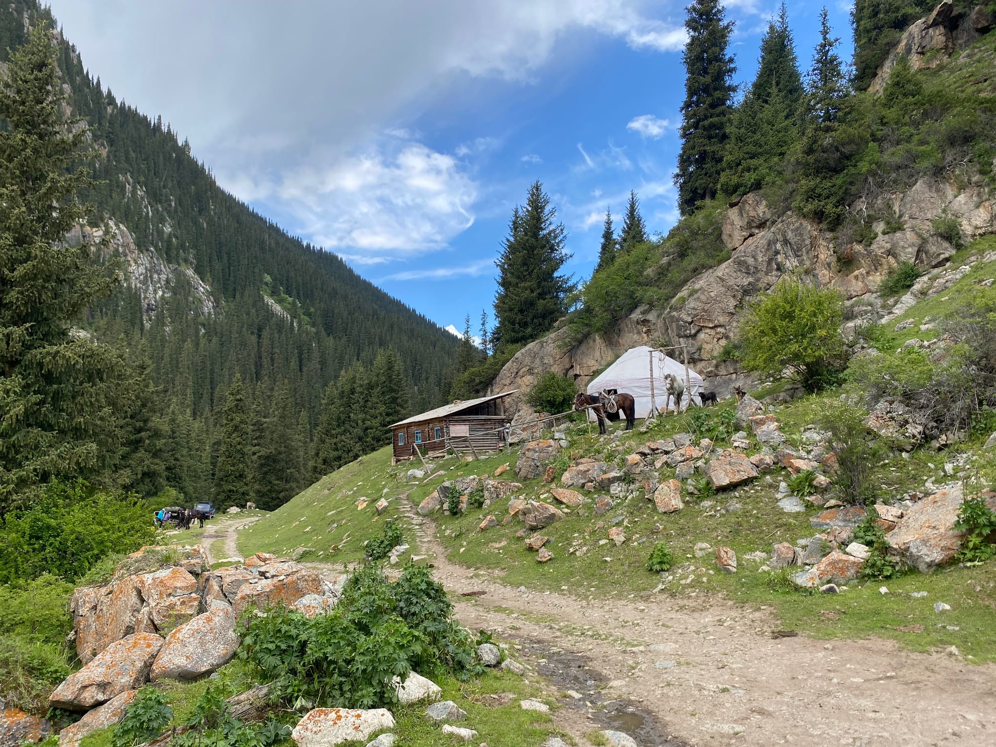
A while later I passed another shepherds’ hut, and was invited inside for lunch. Without any Kyrgyz, it was difficult to communicate, since the younger adults only knew a little bit of Russian, and the grandmother, who was fluent in Russian, was nearly blind and couldn’t read the translated messages on my phone. We eventually established communications. Lunch consisted of bread, tea, and the freshest yogurt I've ever had. The family - brothers Nurbalat and Bolkon, their mother Rosa, and Bolkon’s young children - live in the valley in the summer, herding sheep, and return to Jeti Oguz in the winter.
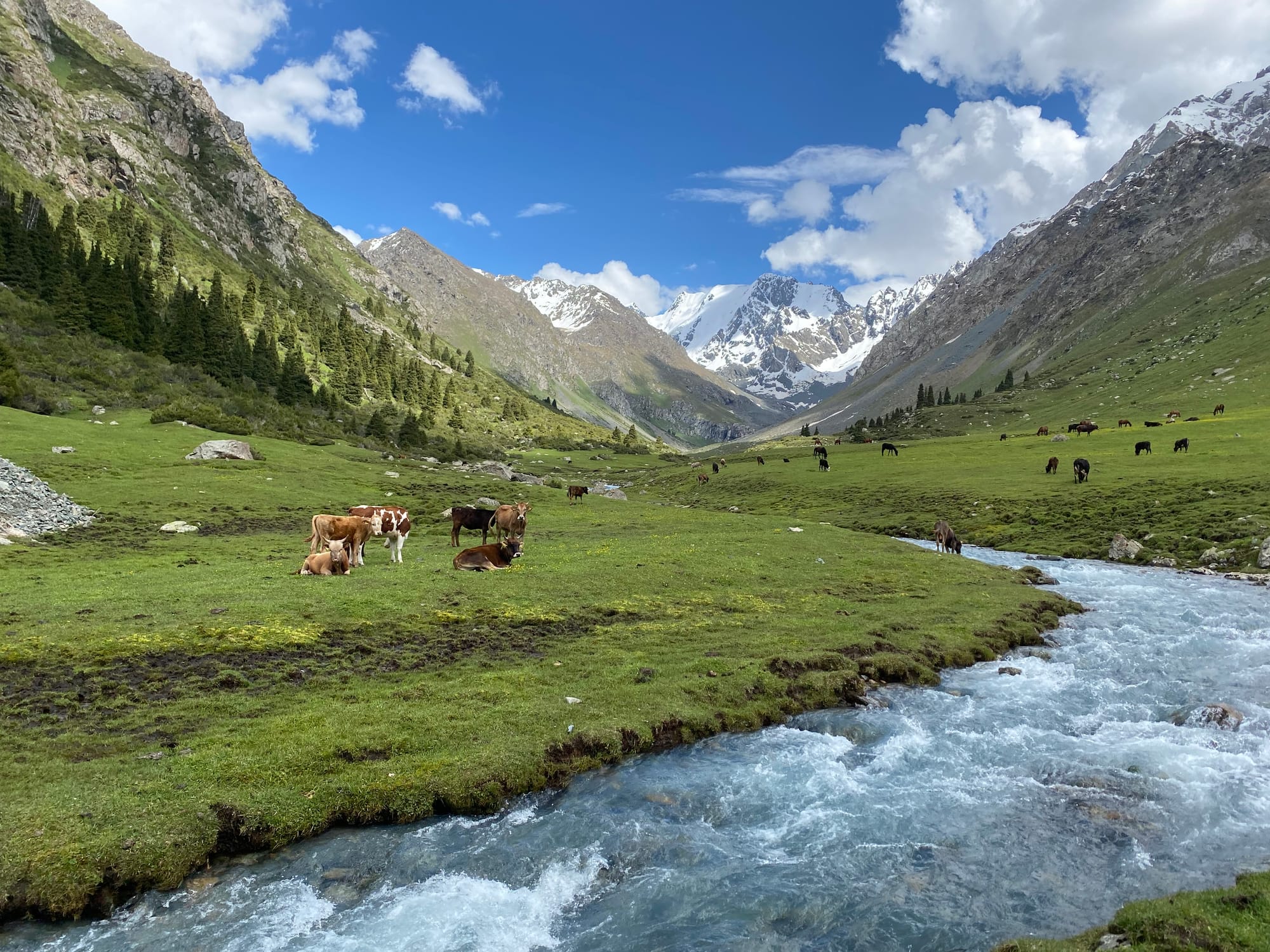
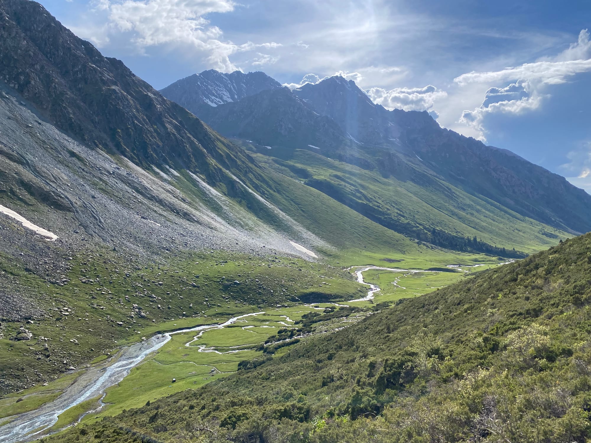
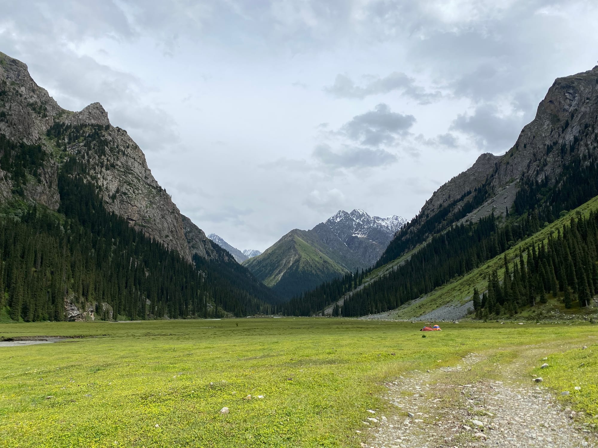
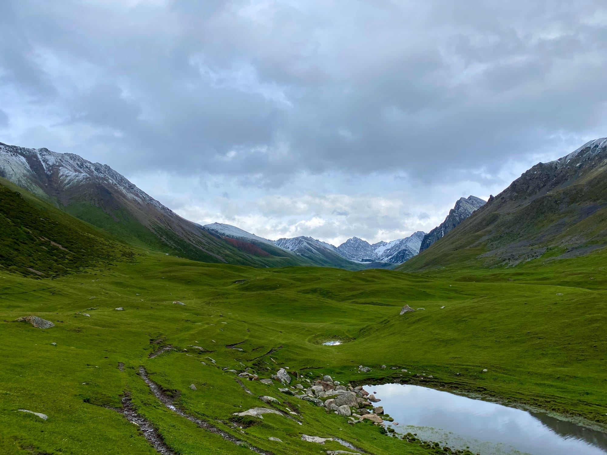
Eventually it was time to continue up the valley through more pastures. From here I had spectacular views of the glacier at the end of the valley.
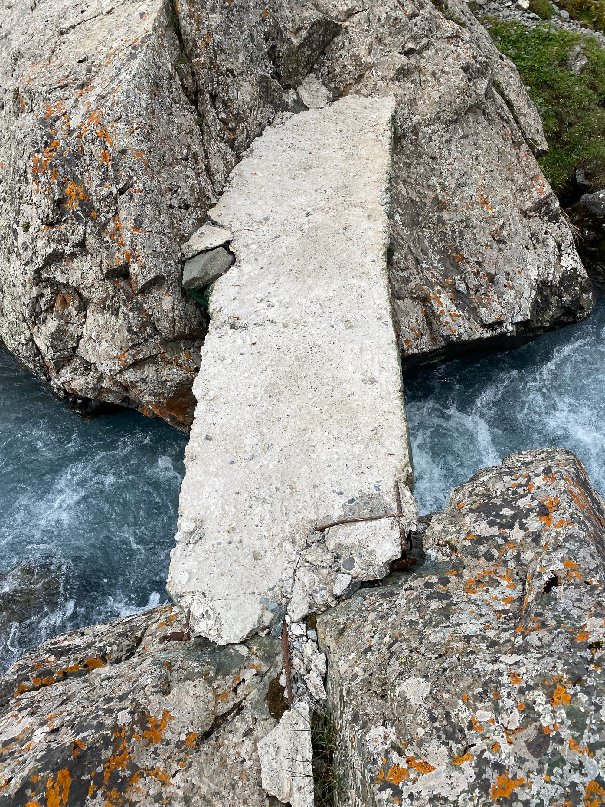
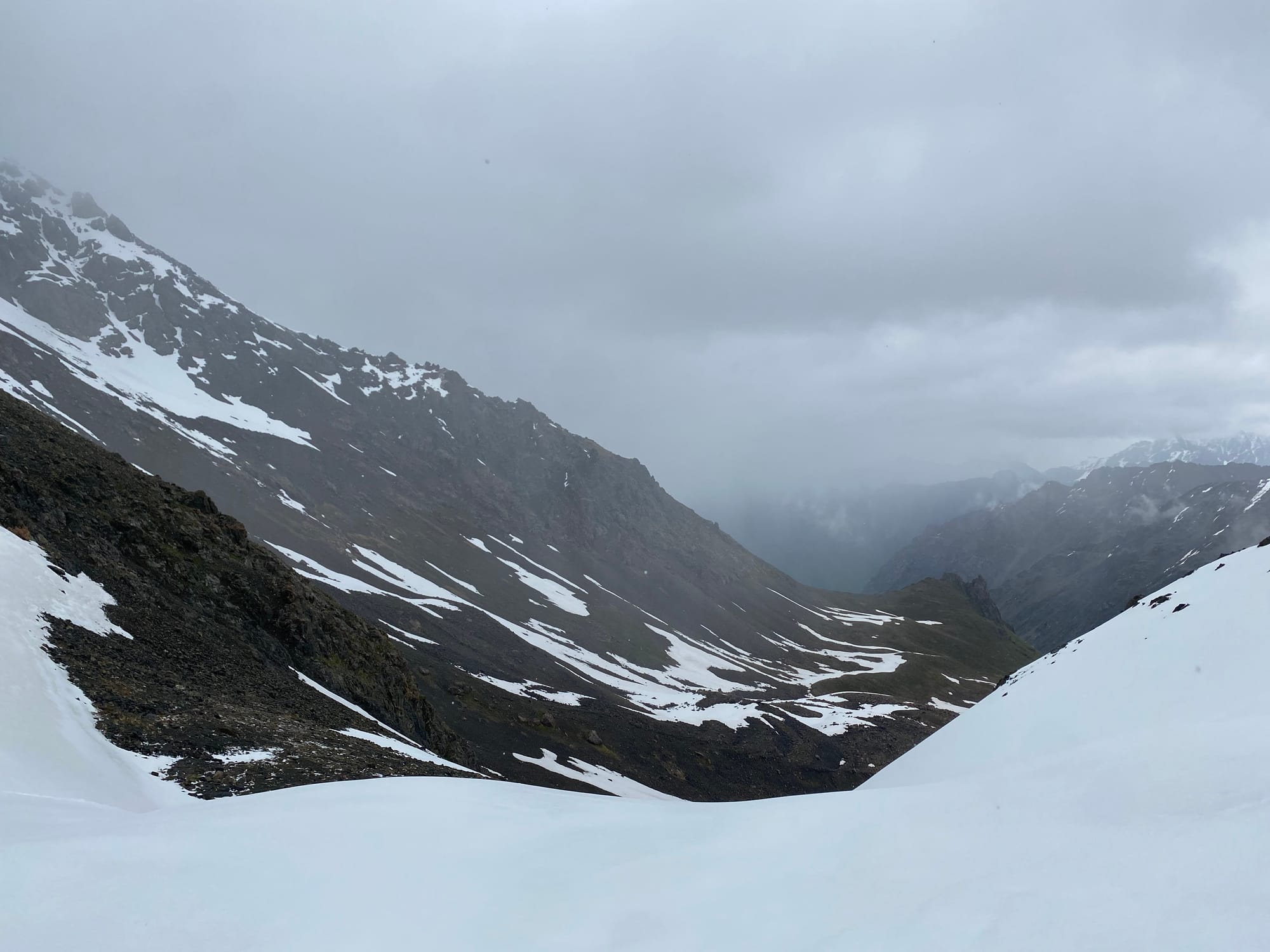
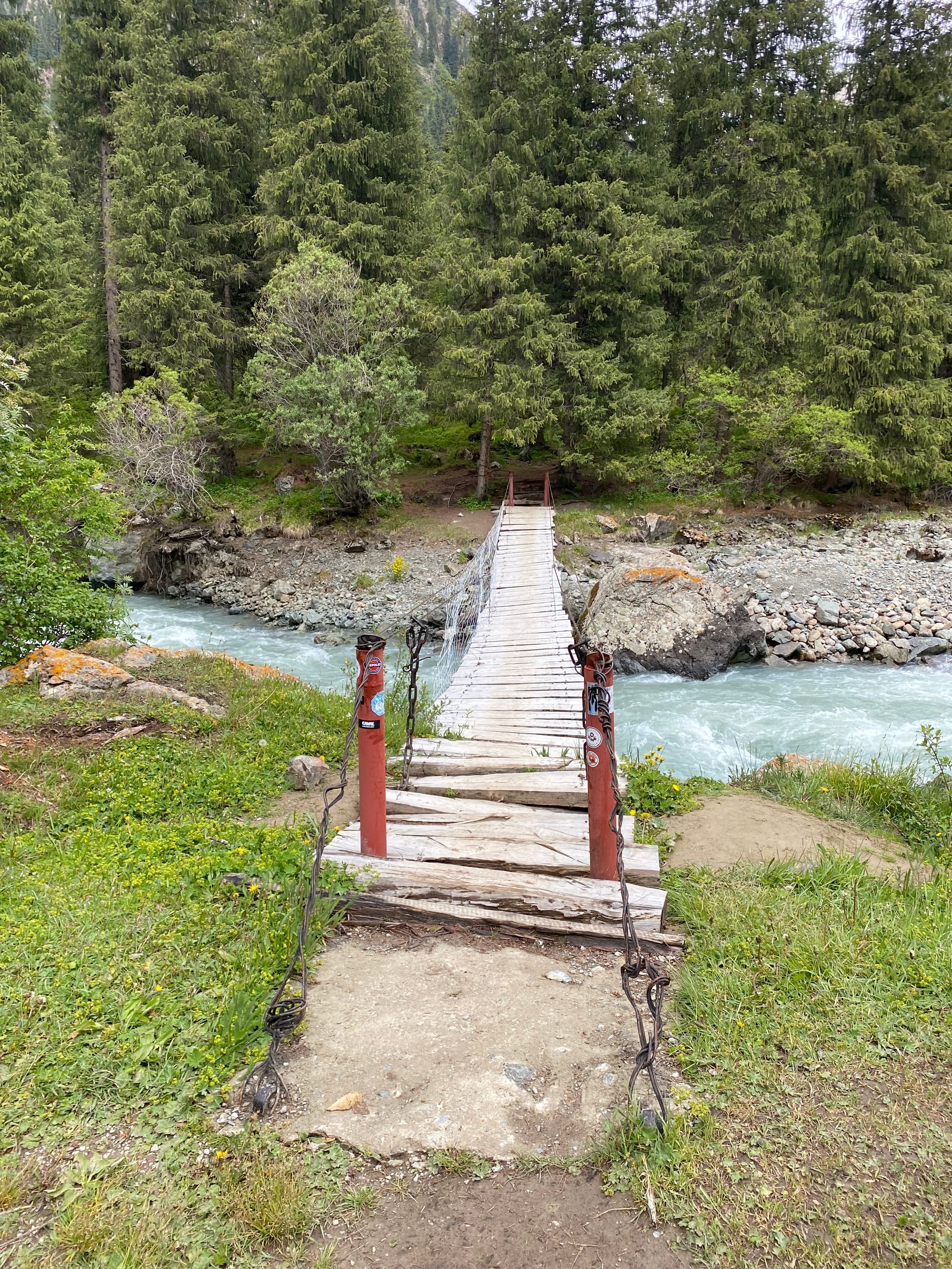
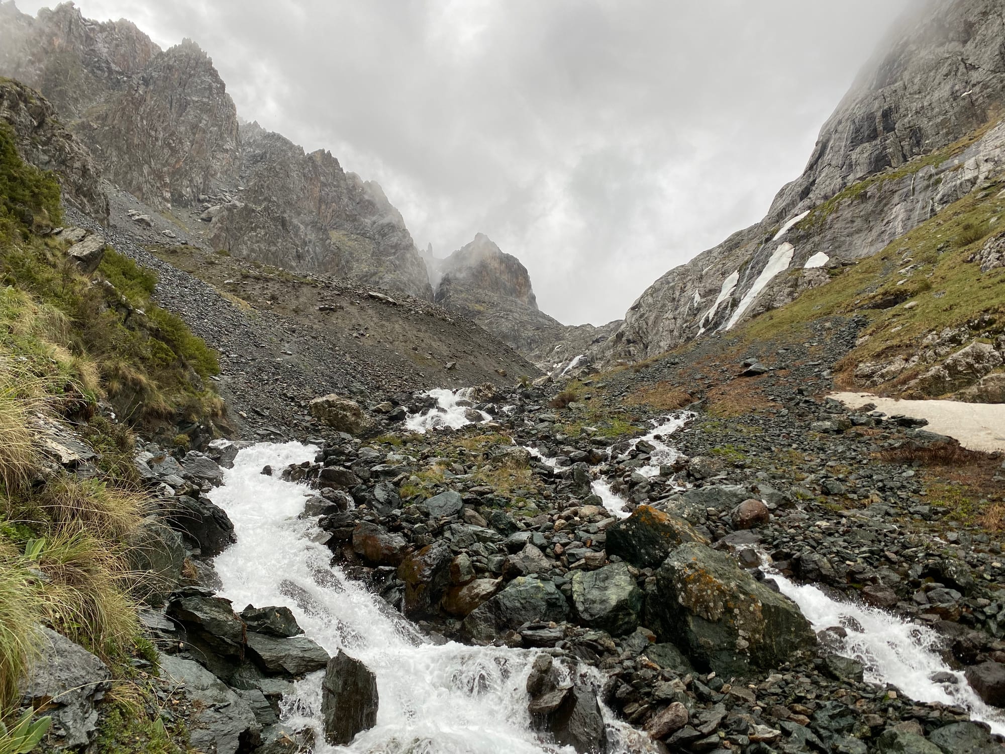
After crossing a sketchy bridge, the climb to Telety Pass (3800m) began.
I’d hoped to camp on the other side of the pass, but the snow and elevation slowed me down, and I ended up camping at a flat area at 3670m. Luckily I had my warm sleeping bag.
June 12
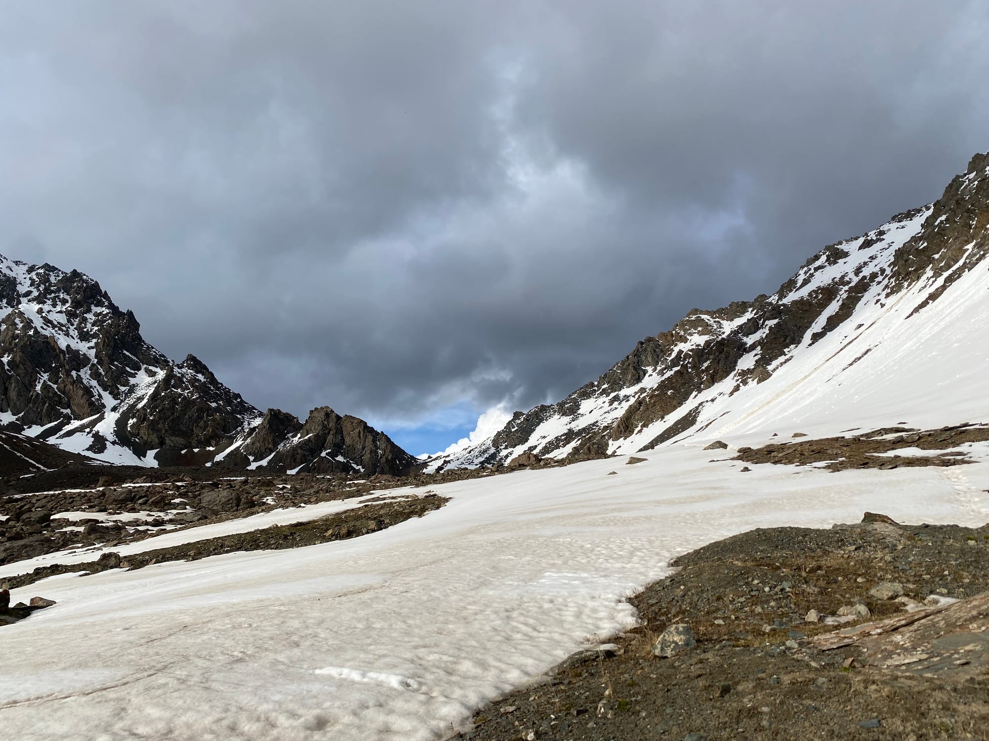
I woke up to overcast weather, which quickly turned into snowfall. After a quick retreat from the campsite, I climbed over the pass and descended into Telety Valley, negotiating some steep snowy sections in the fog.
The weather cleared up for a while, then clouds rolled in again and a thunderstorm began. I hurried below the tree line, hiding in a somewhat dry spot as lightning struck around me.
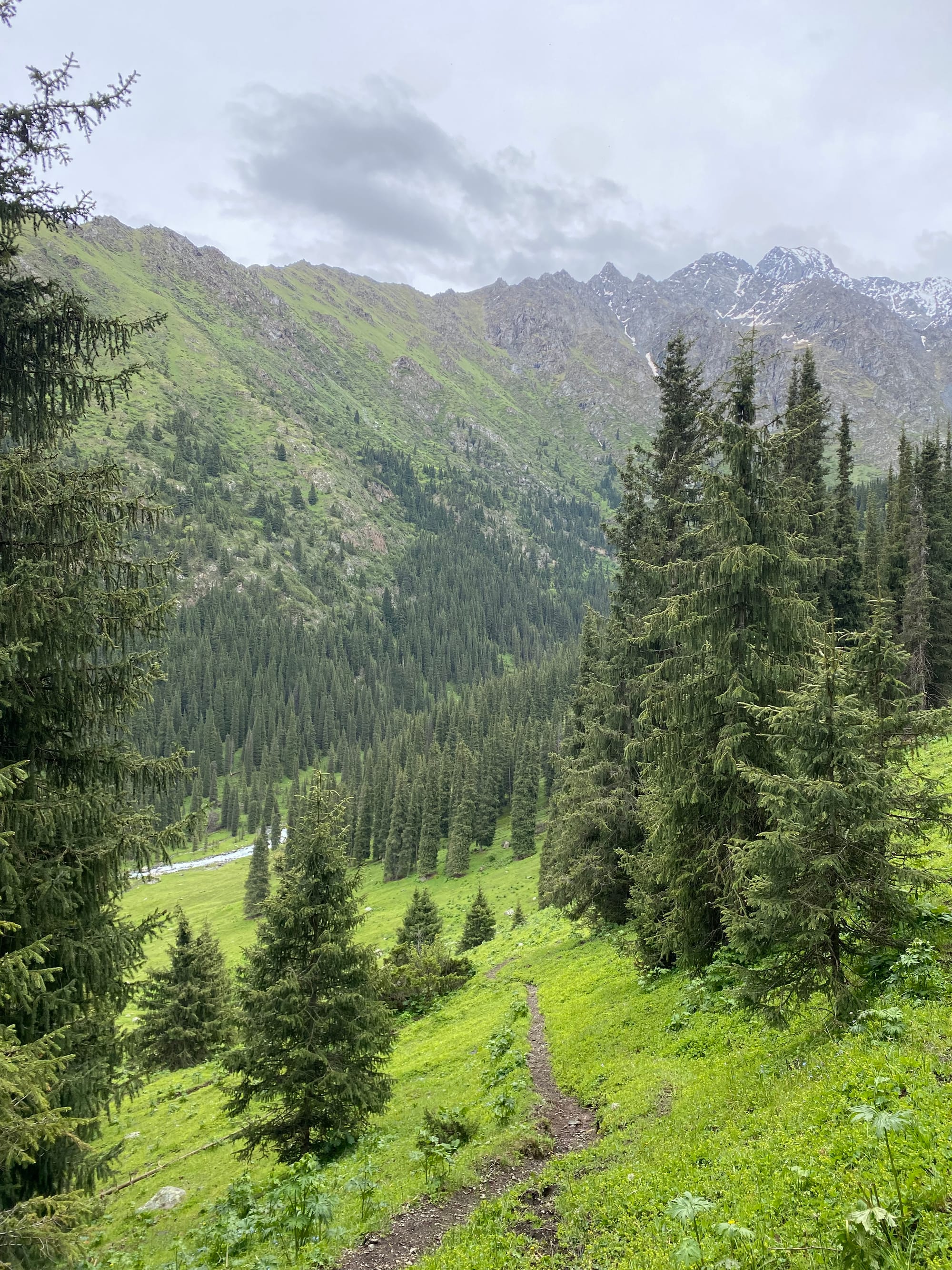
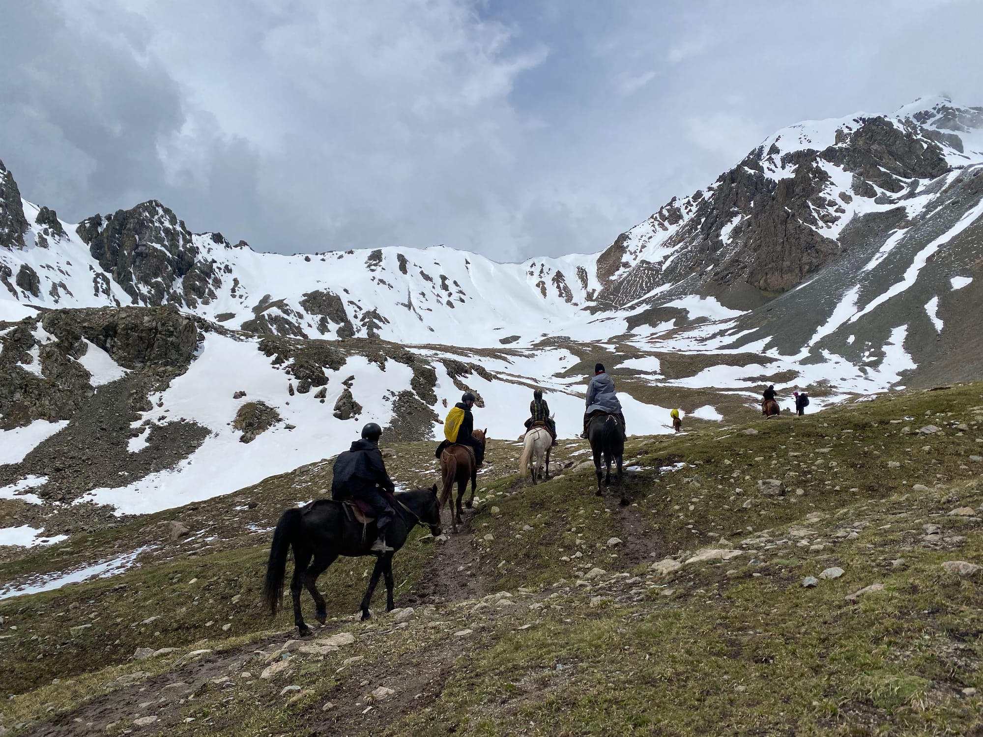
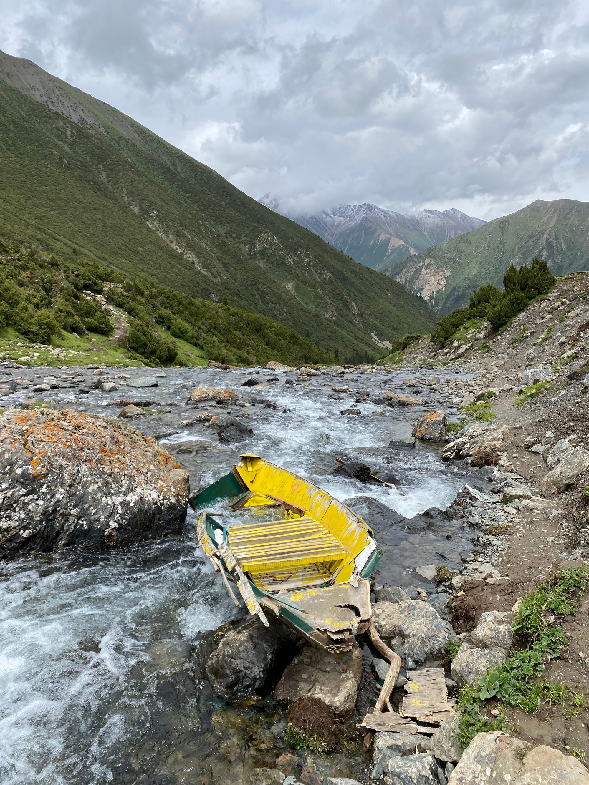
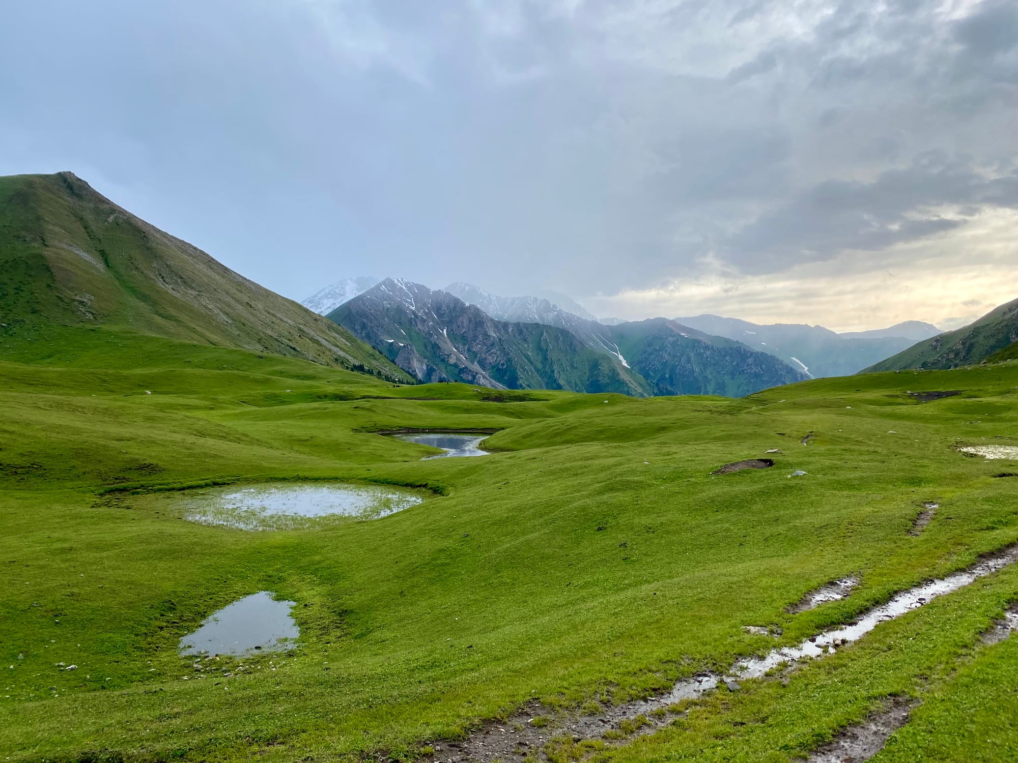
Eventually the storm cleared. The trail reaches a creek. A side trail to the south leads to the Peak Karakol base camp, but I wanted to reach Lake Ala-Kul that day, so I skipped this detour. There are two routes to Ala-Kul: the regular tourist route, which leads along a valley and passes several yurt camps, and the Panorama Pass route, which is shorter and steeper, but apparently more scenic. I wanted to try the Panorama Pass route, but the glacial river was too high to ford (a bridge washed out years ago and has not been fixed), forcing me to continue to the regular tourist route. This involved a 3km walk down the valley to a large campsite, where a somewhat sketchy bridge crossed the river.
I hadn't seen any other hikers up to then, but I was now on the most popular trail, so it got busy very quickly. I met a Korean hiker and we hiked together for a while. He’d brought a lot of heavy, brand-new gear and he was surprised at my relatively light setup.
As we ascended, the weather kept getting worse. At times we had to hide in forests or beneath overhangs to wait out brief lightning storms.
Eventually we reached a yurt camp: my companion decided to stay there, but I kept going to the lake. Before I left, I bought a bottle of beer from the yurt camp, and was given a plastic bottle that looked like some sort of soft drink but was, in fact, beer.
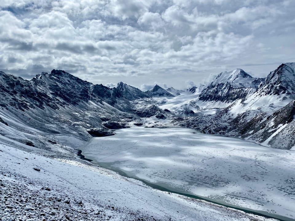
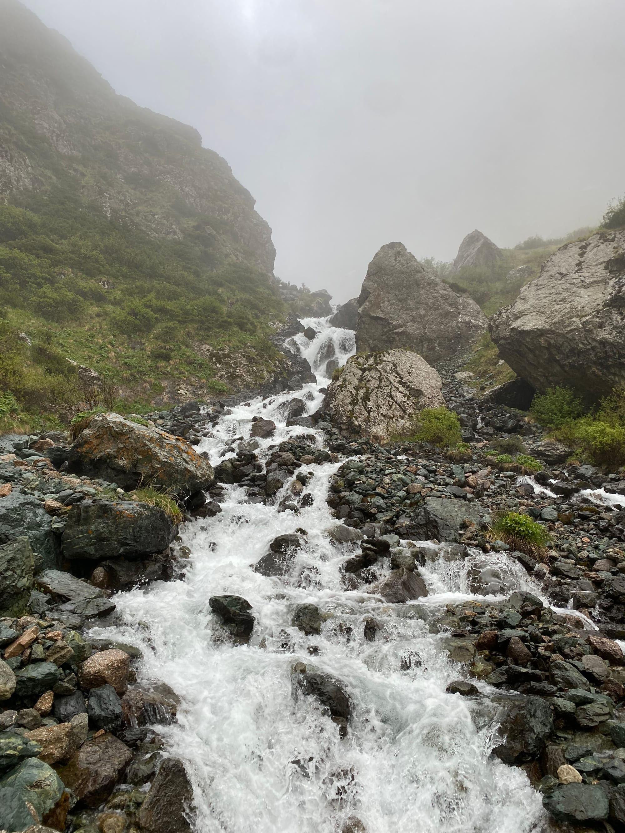
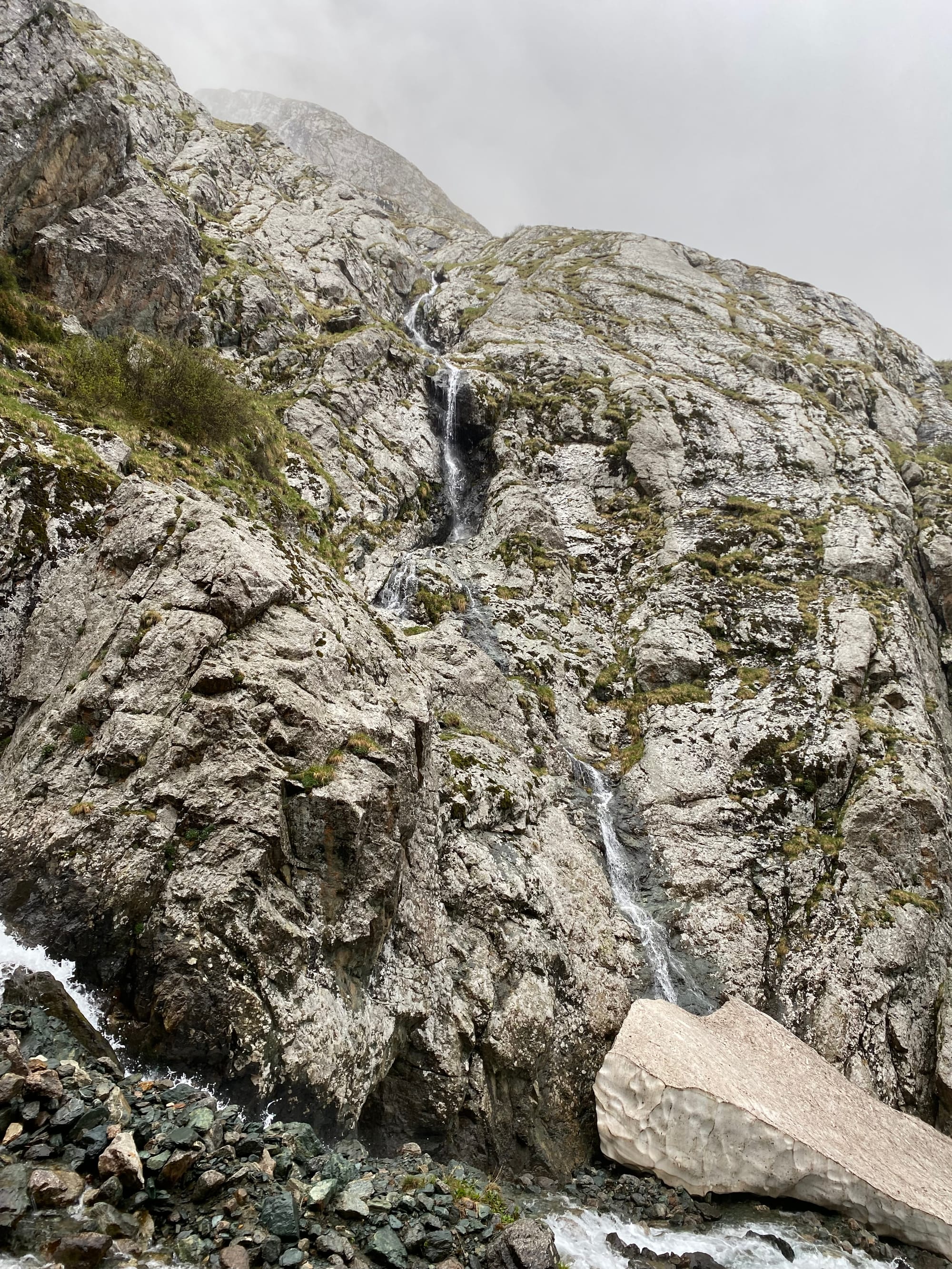
The trail to the lake followed a stream past several waterfalls. Intermittent hailstorms and the altitude made for slow going. Eventually I arrived at Ala Kul lake, invisible in the fog, and found a somewhat dry campsite.
June 13
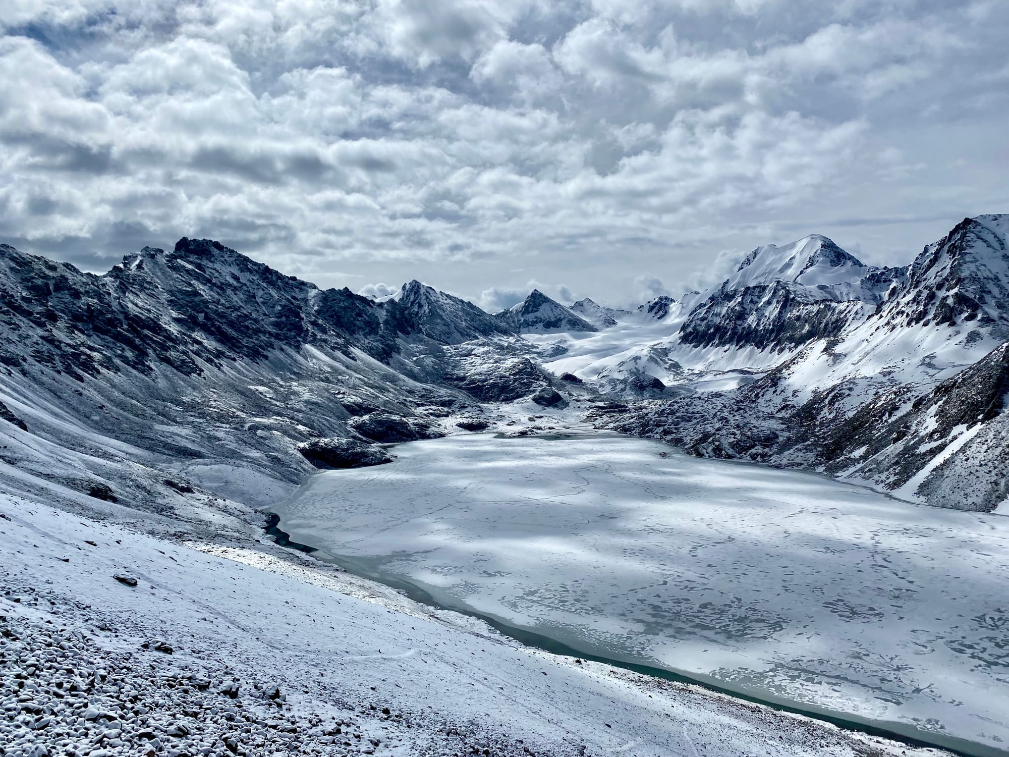
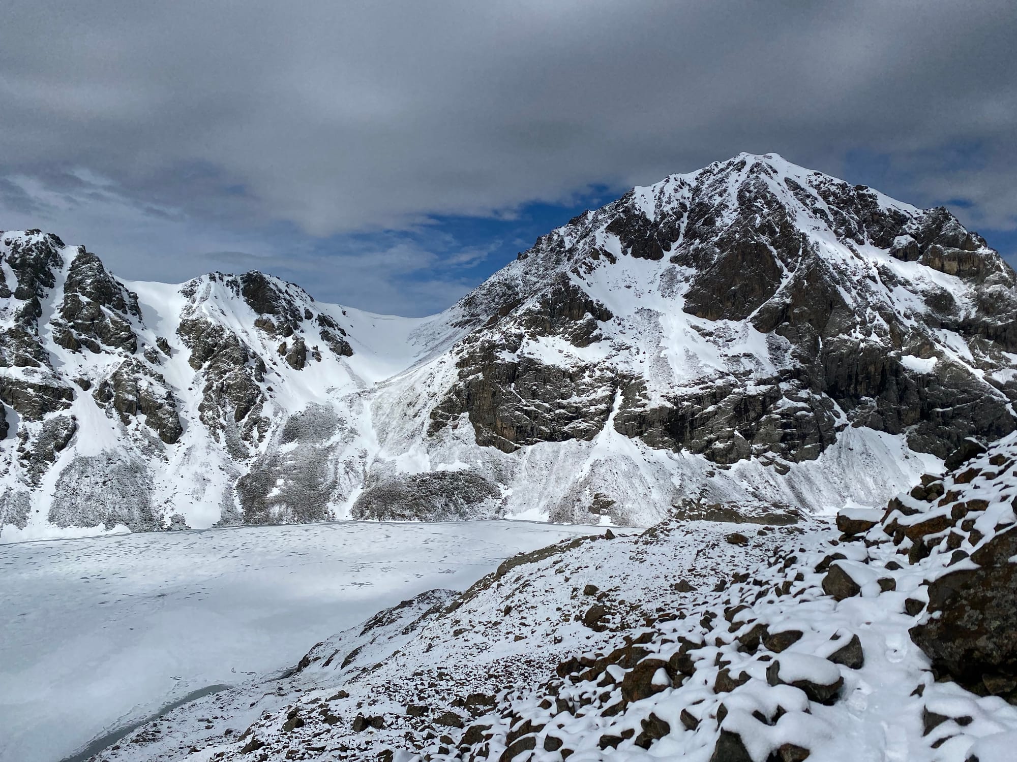
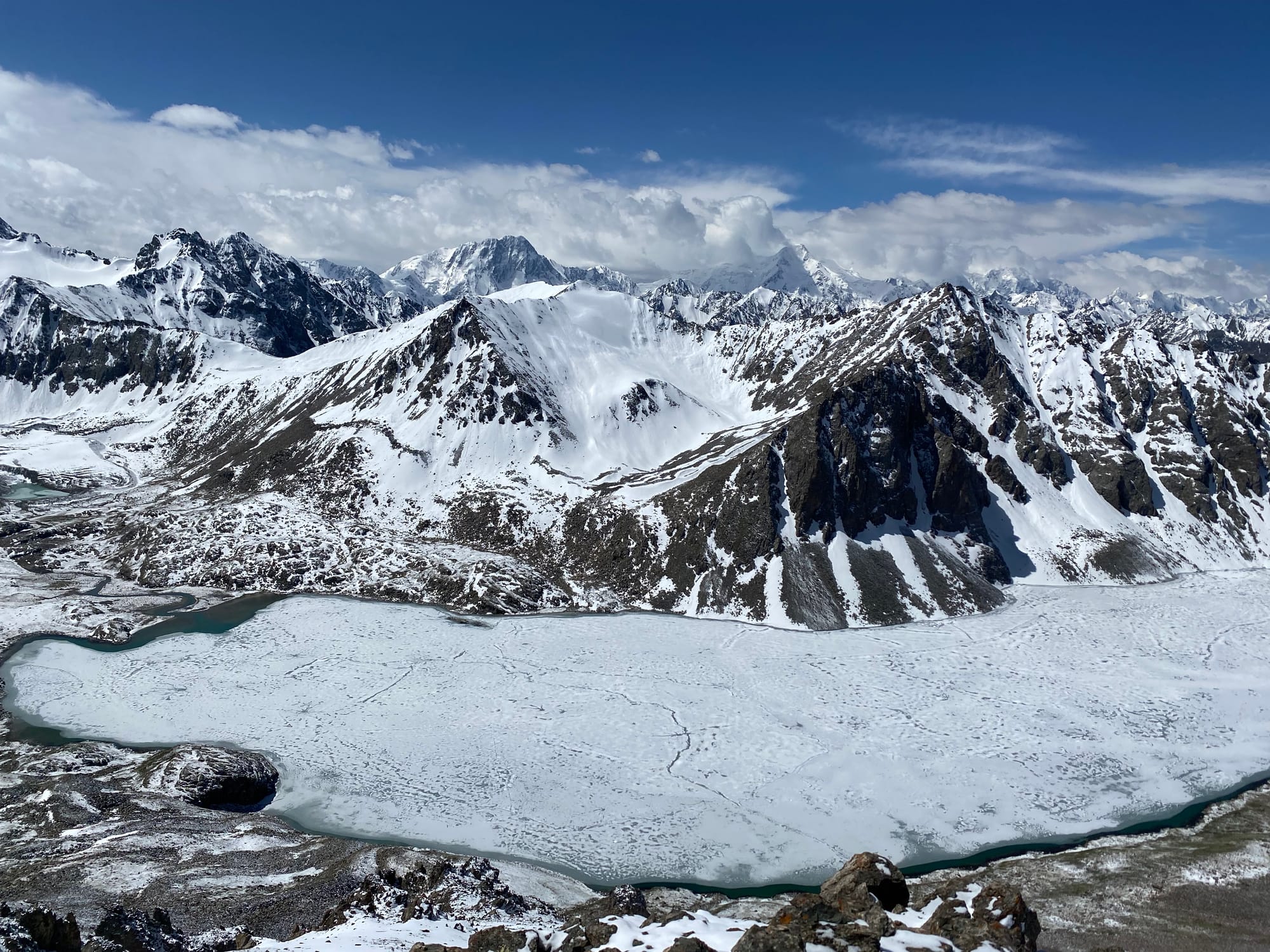
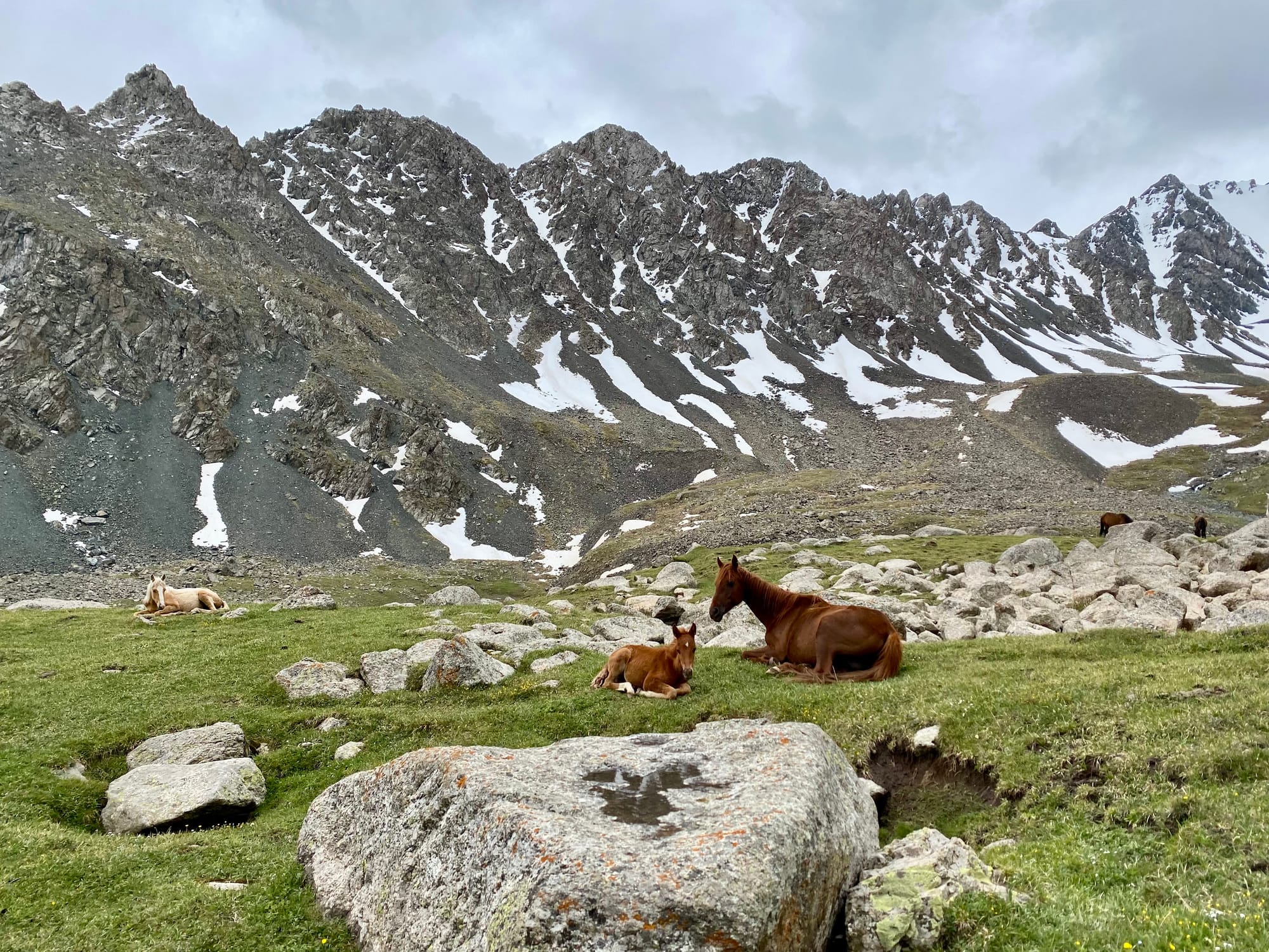
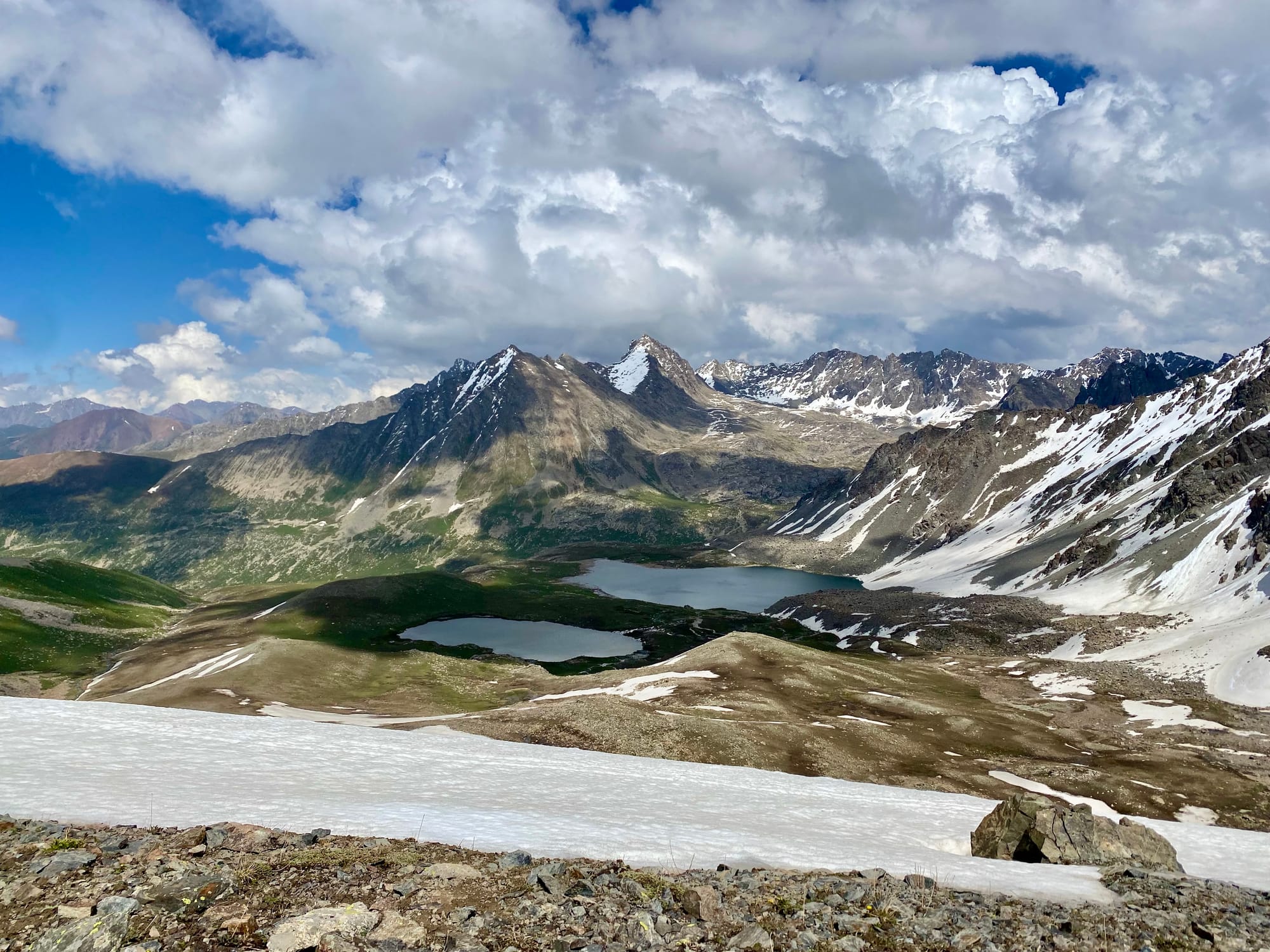
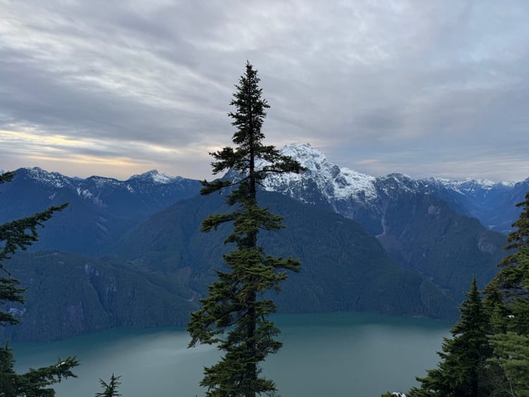
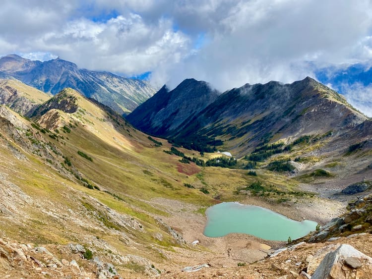
When I awoke, the clouds had cleared, and the mountains and lake were visible. Ala Kul is essentially Kyrgyzstan’s version of Garibaldi Lake, with bright blue glacial water in summer. At this relatively early time in the hiking season, however, the lake was still frozen, and the peaks were covered in a light dusting of snow from the previous night, creating a very different appearance.
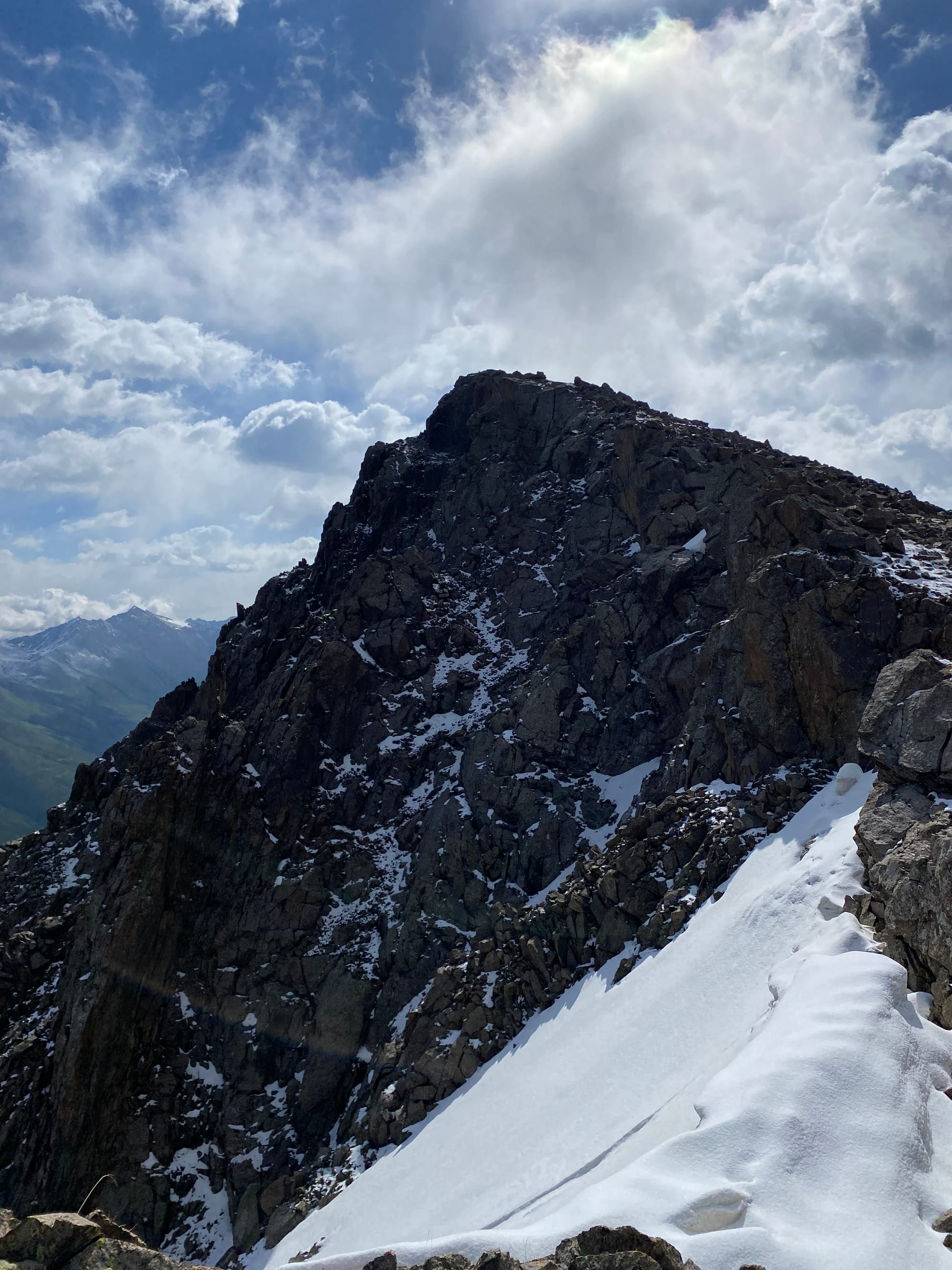
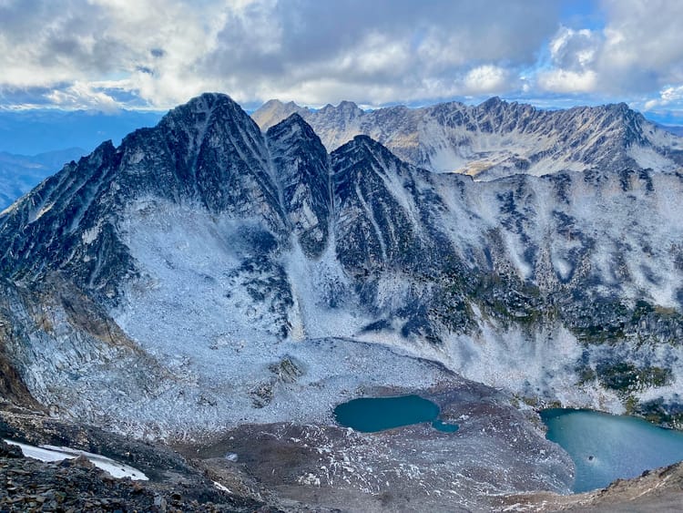
As I packed up my tent, clouds rolled in and snow resumed. I’d thought about climbing some of the peaks around Ala Kul, especially Peak 30 Let VLKSM (“Peak of 30 years of the All-Union Leninist Young Communist League [Komsomol]”) which seemed like it could be accessible via scrambling, but in the current conditions it didn’t seem doable without microspikes or other traction devices, which I didn’t have.
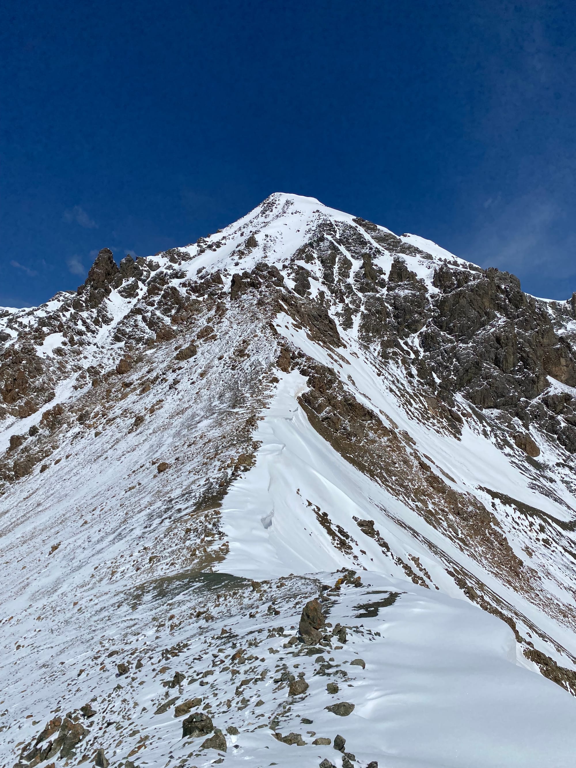
Instead I walked through fresh snow to the 3900-metre Ala Kol Pass. There was a cornice on the other side, which could be bypassed through some scrambling to the north. I was about to do that when a Russian guide showed up and knocked a large part of the cornice down the hill! He suggested descending down the route he’d made. This seemed to have some avalanche risk, but he kept assuring me it was safe, and he was sending his clients down the gap, so I ended up going down that way. Once I got to the base of the hill I left immediately.
There’s a yurt camp near the base of the hill and I stopped to dry some equipment. While there I met a hiker from New Zealand and we walked down together for a while. She was doing an extensive bike tour and had strong opinions about some other bikers: “yes, they were cycling, but they’re not really cyclists, you know?” Eventually we parted ways.
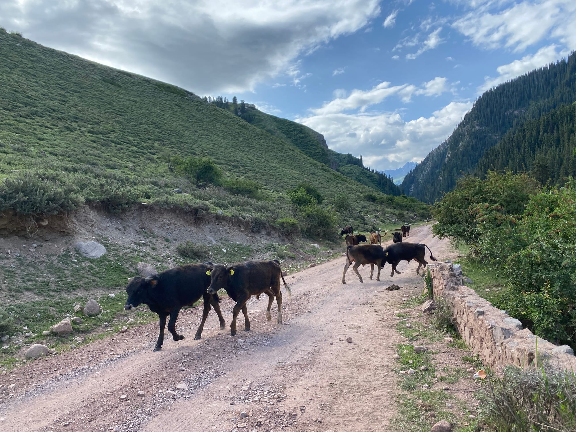
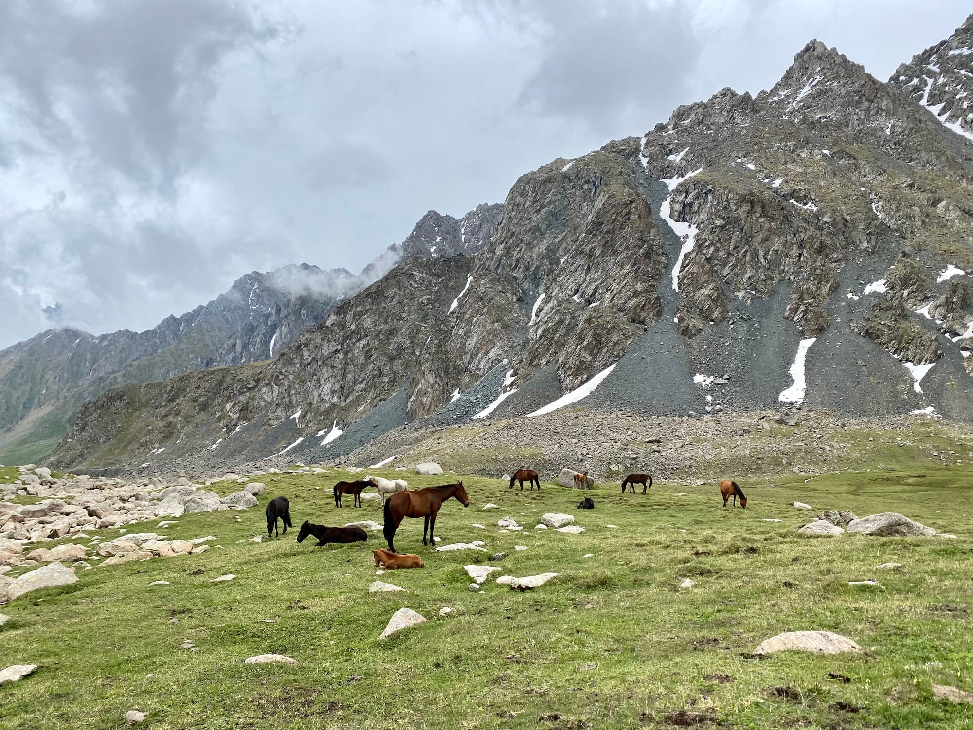
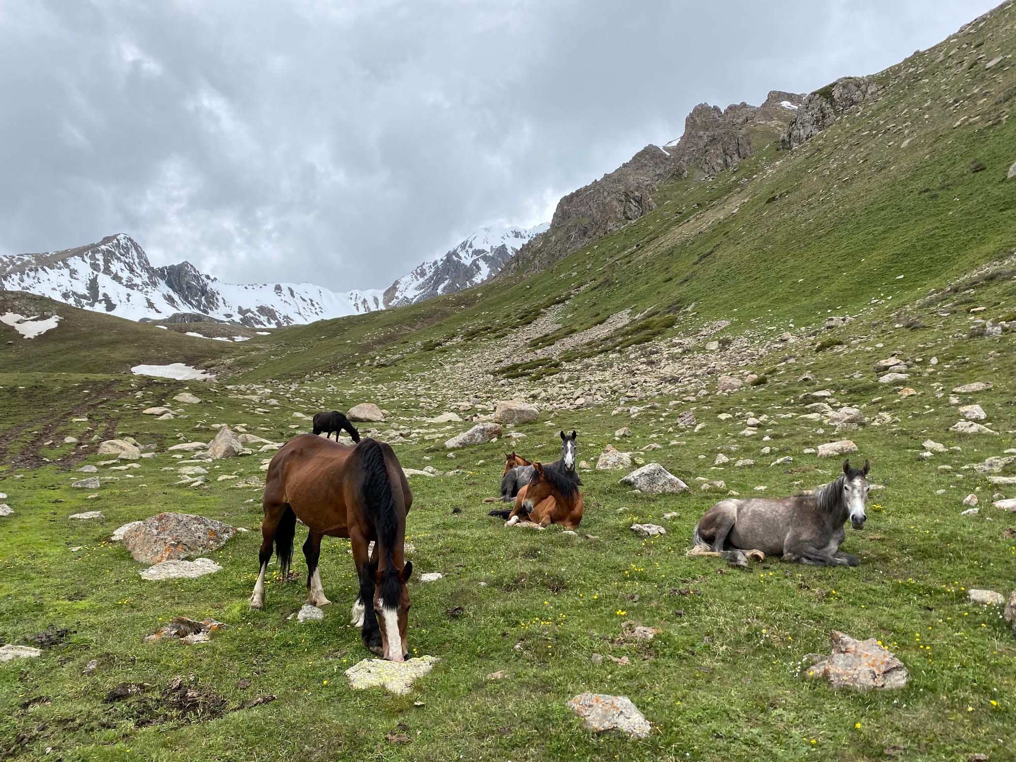
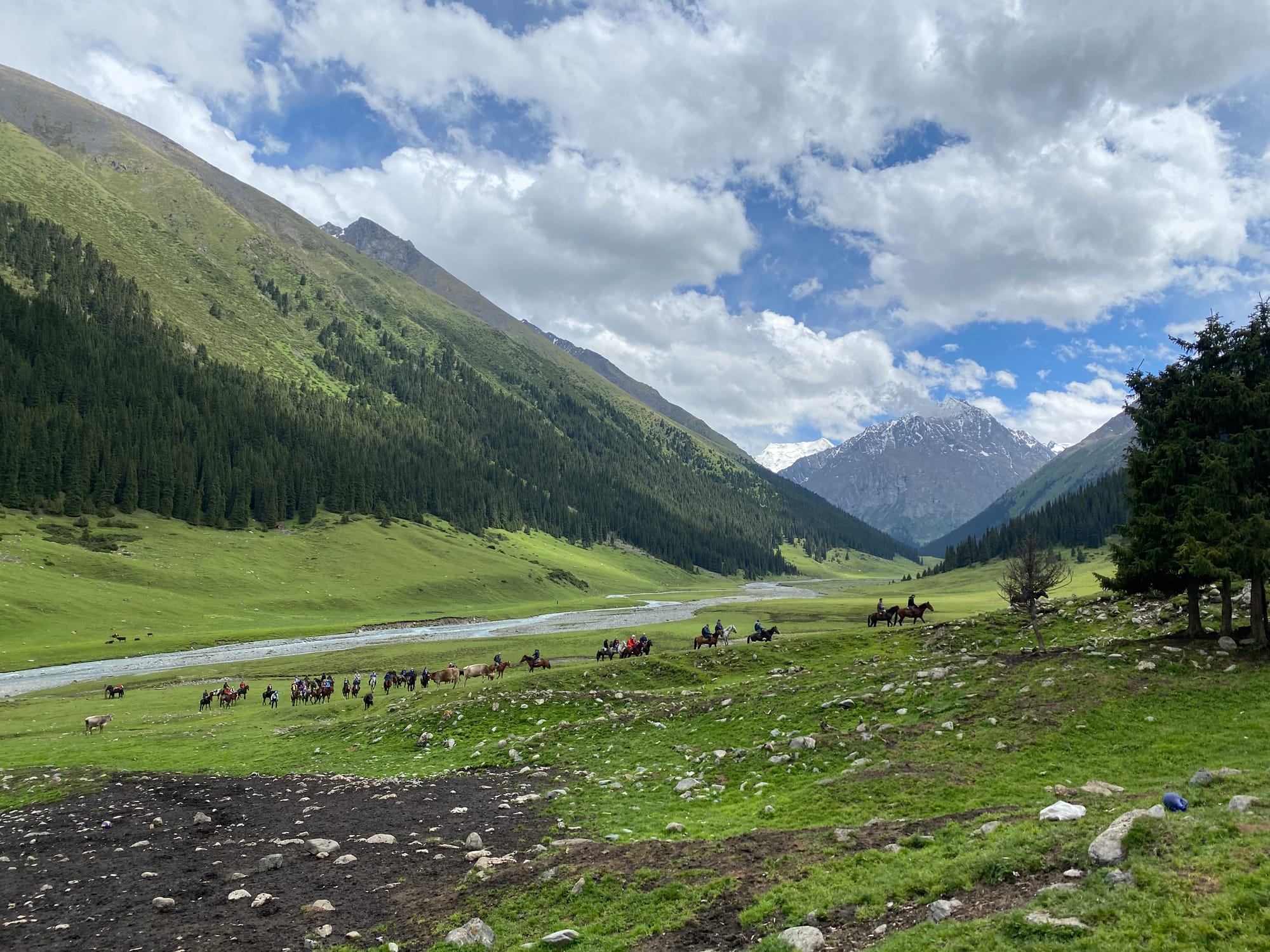
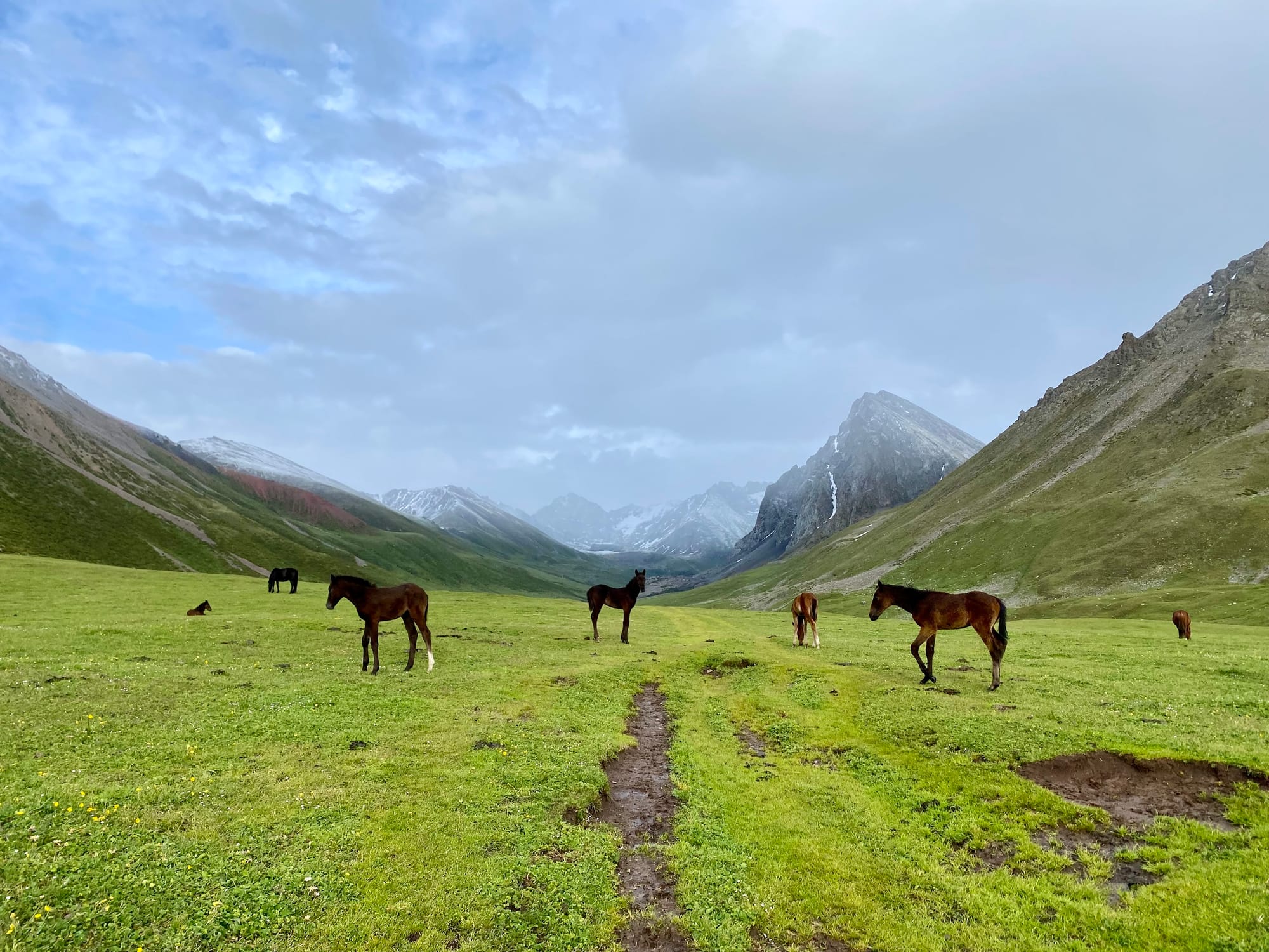
Like all other valleys in the area, local nomads extensively use this area for grazing. I passed several herds of horses.
Further down the valley were several more yurt camps.
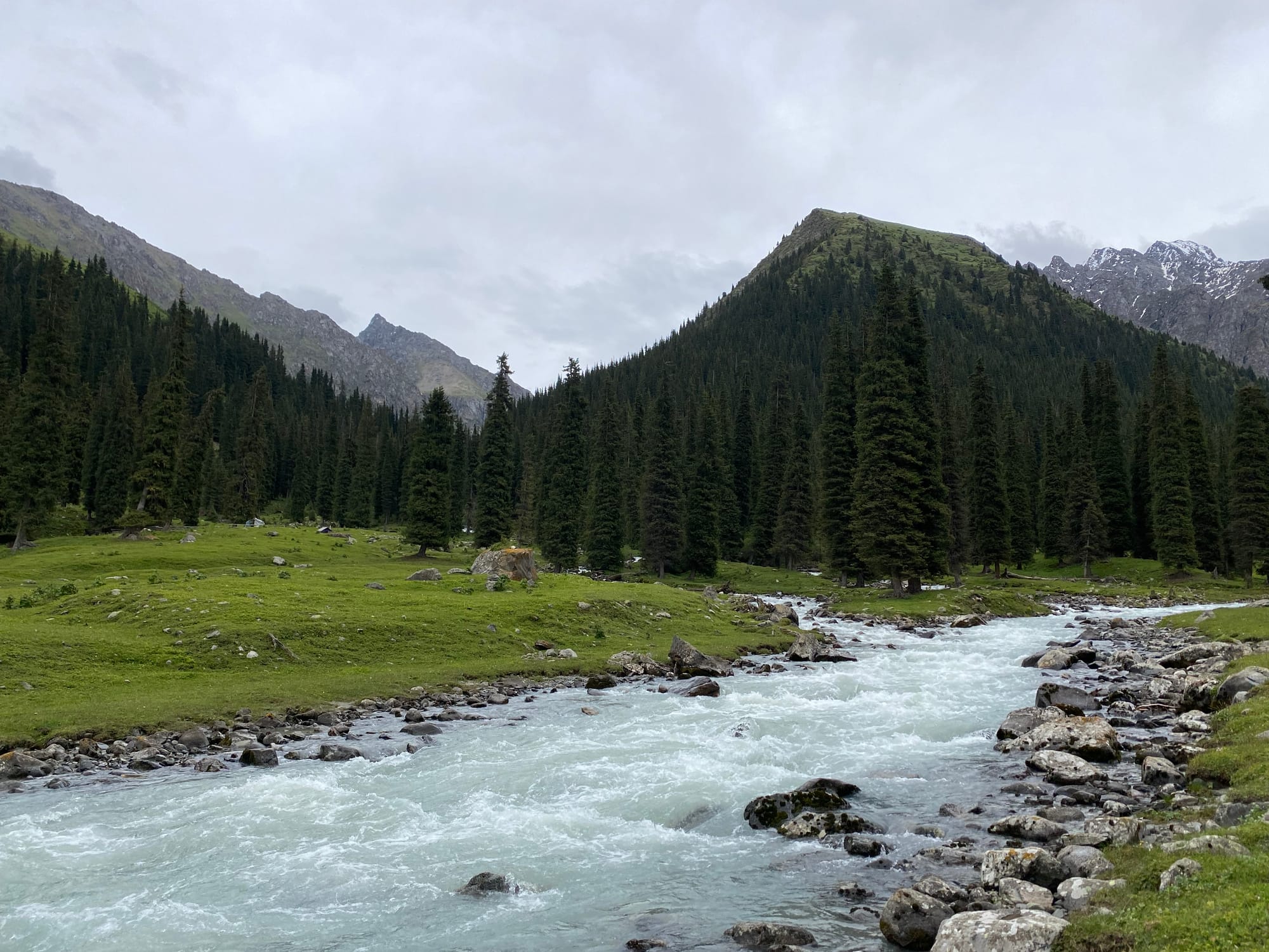
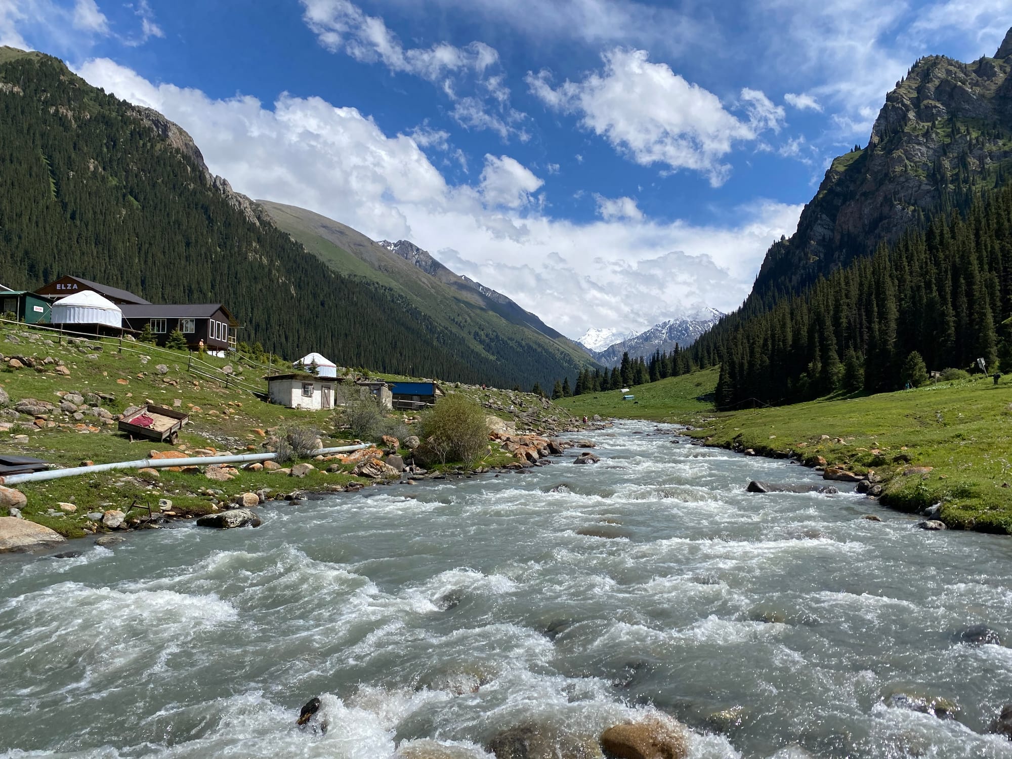
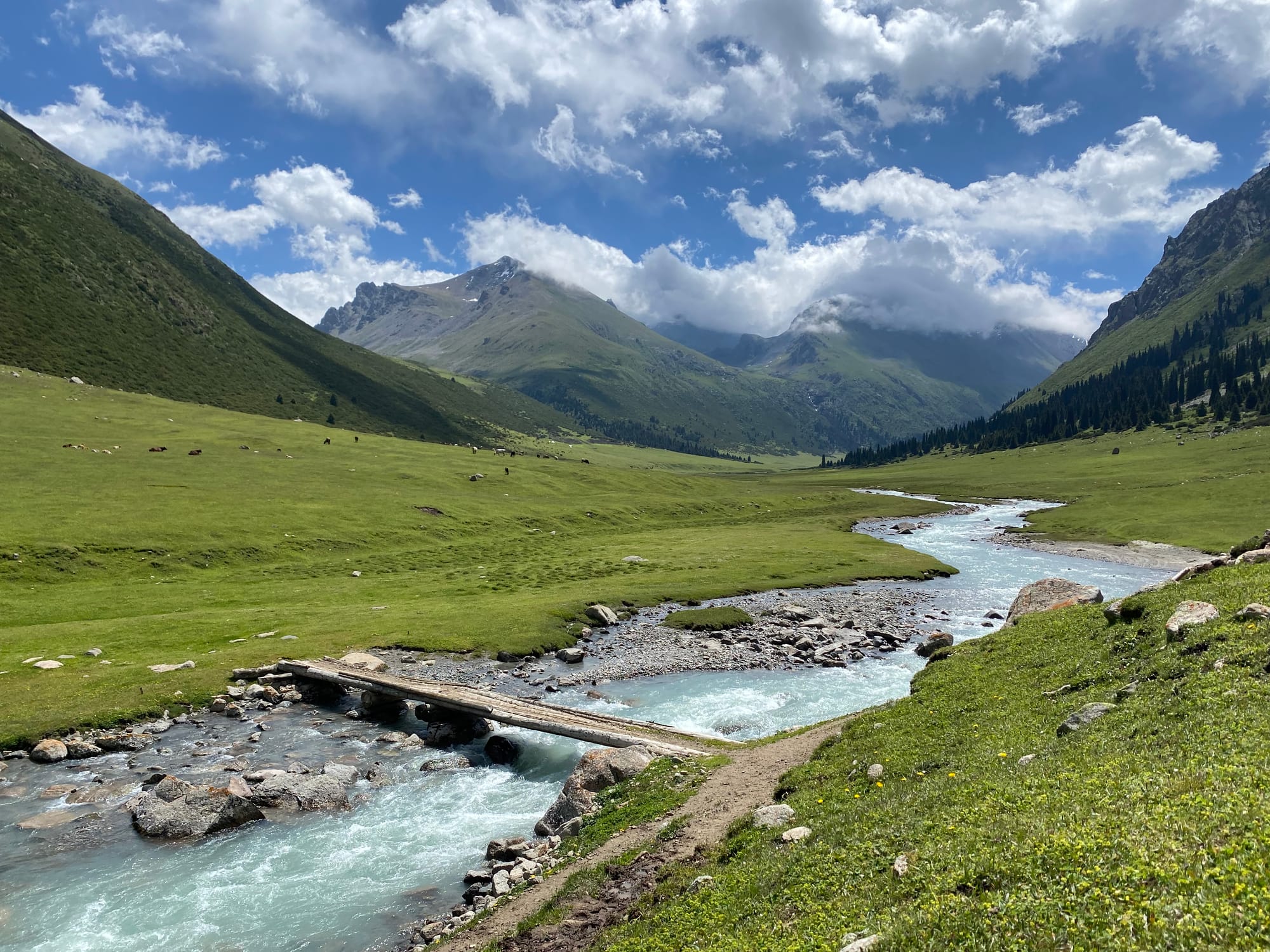
I soon arrived at the hotspring resort of Altyn Arashan. There are several guesthouses here which provide access to their hot springs.
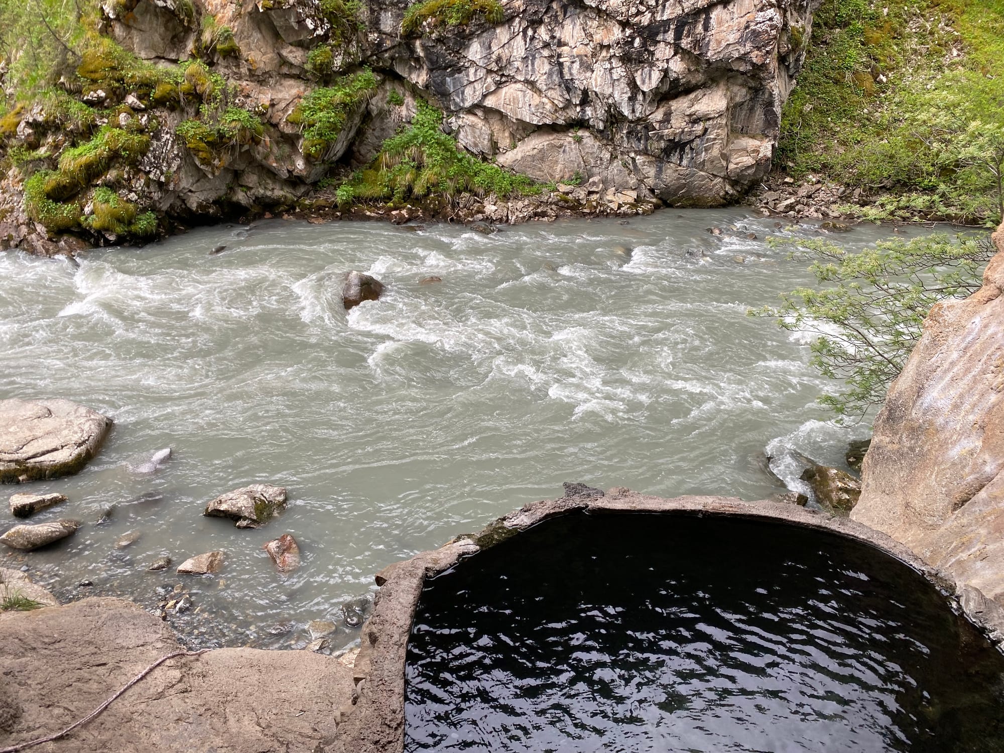
There’s also a free hot spring located further down the river at (42.37859, 78.59807), reached by a side trail from the road and then a short climb. The water was a little bit colder than your average hot tub; apparently the paid springs are much warmer. Still, it was a pleasant place to relax and wait out a short rainstorm.
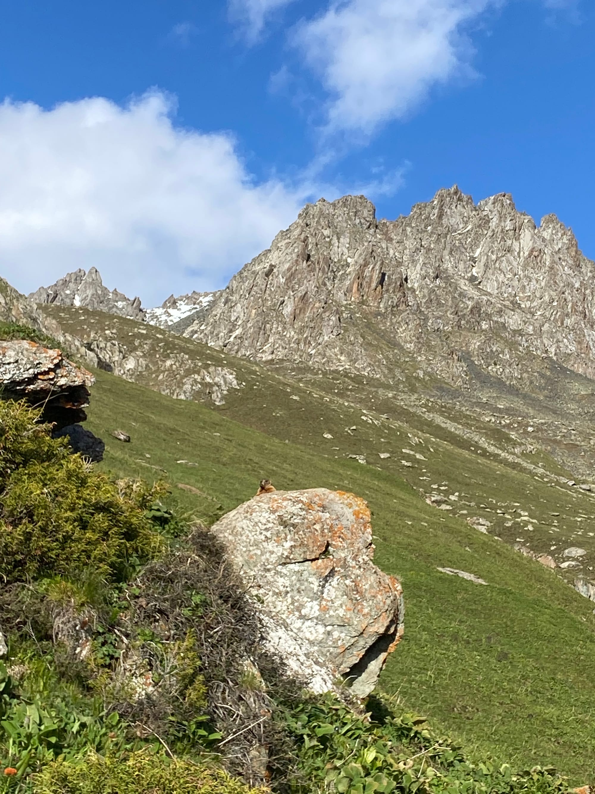
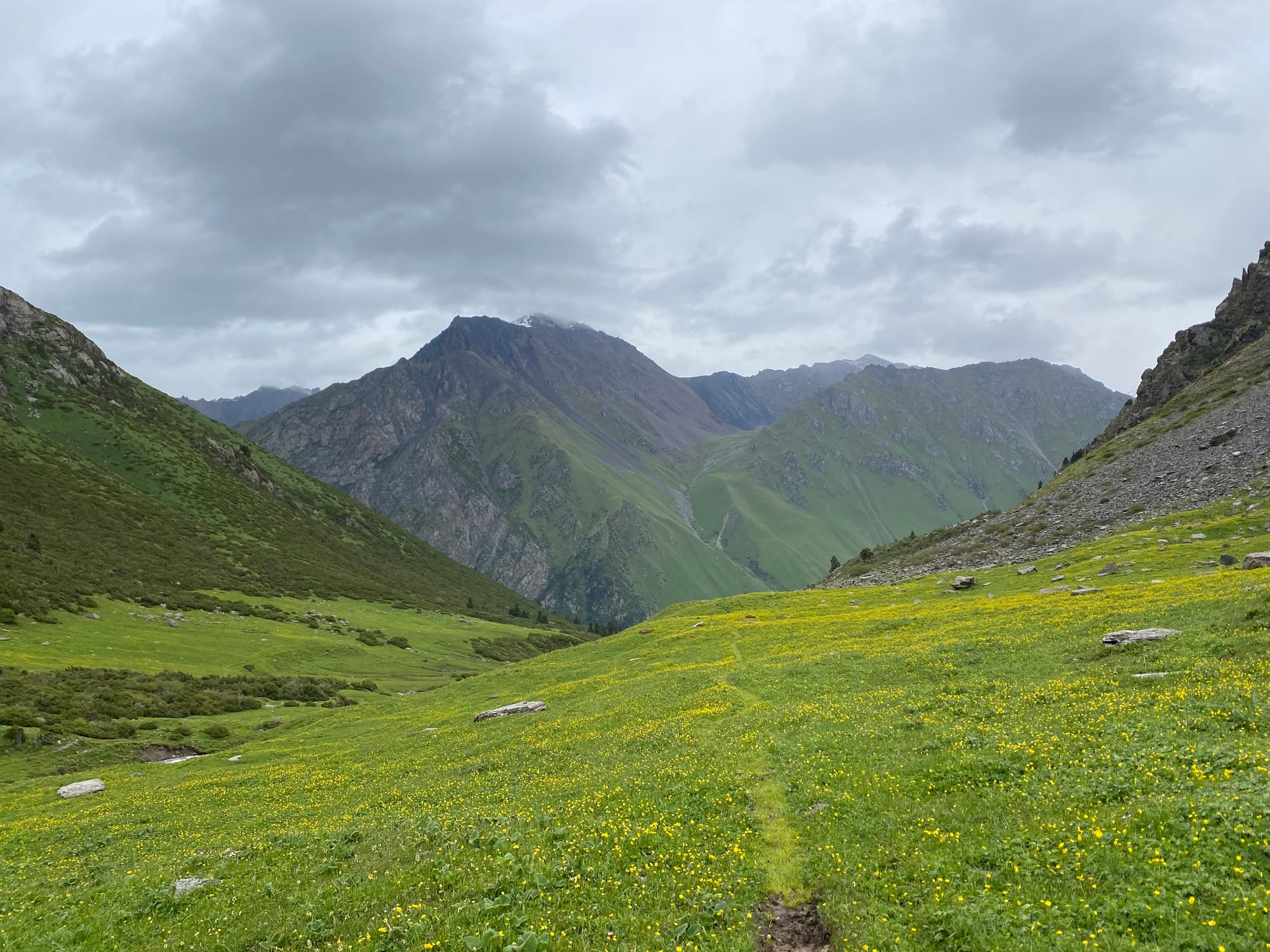
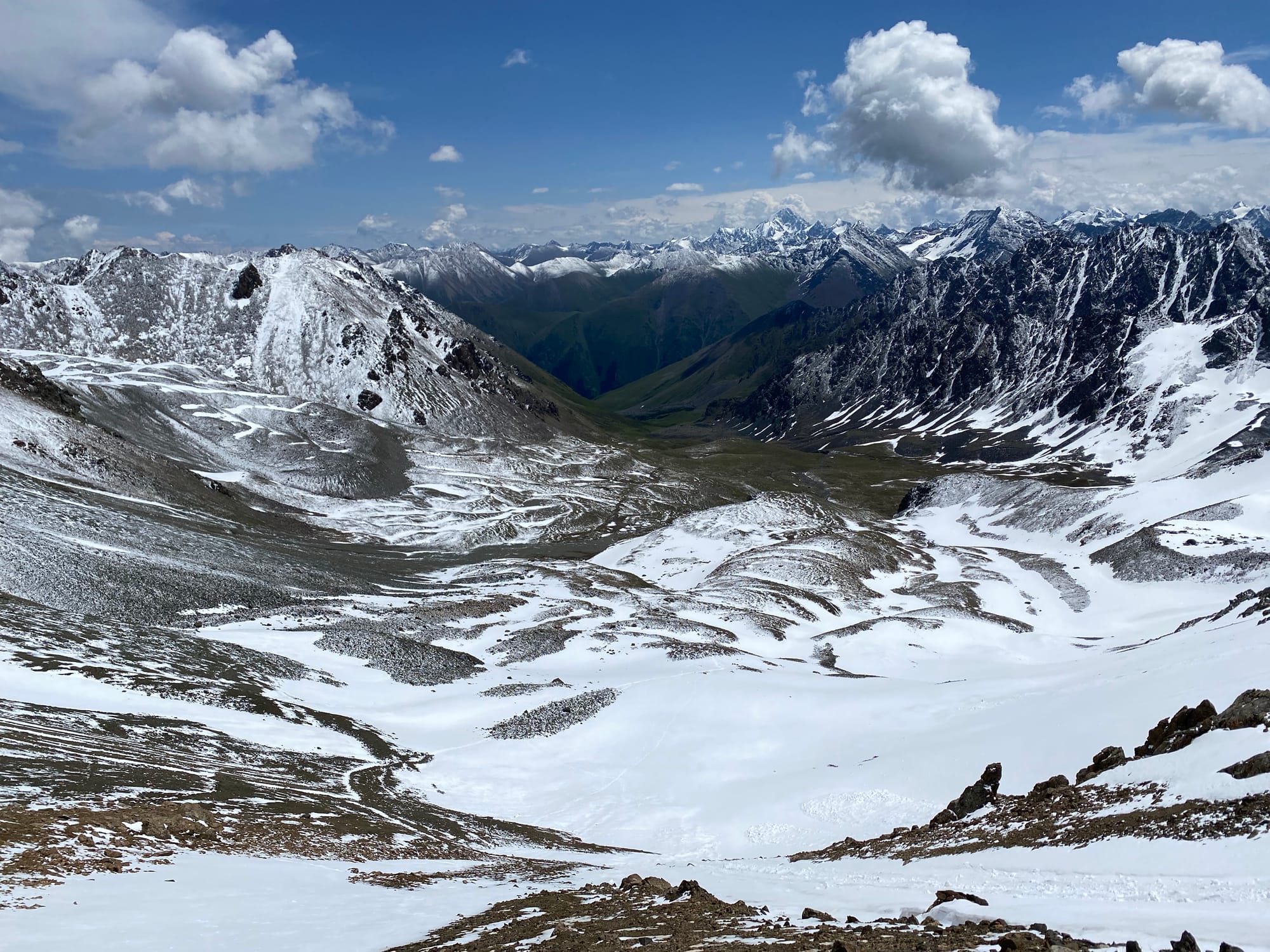
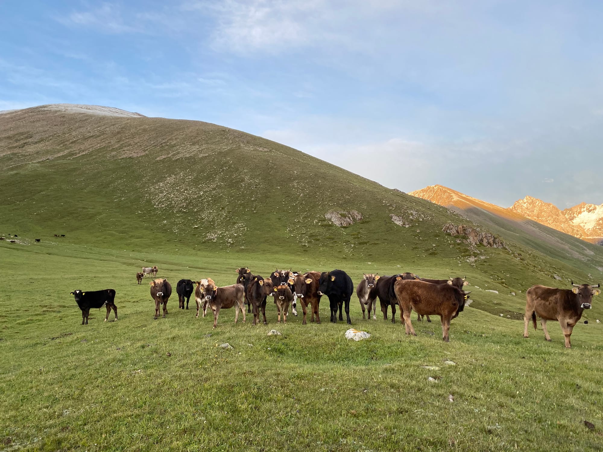
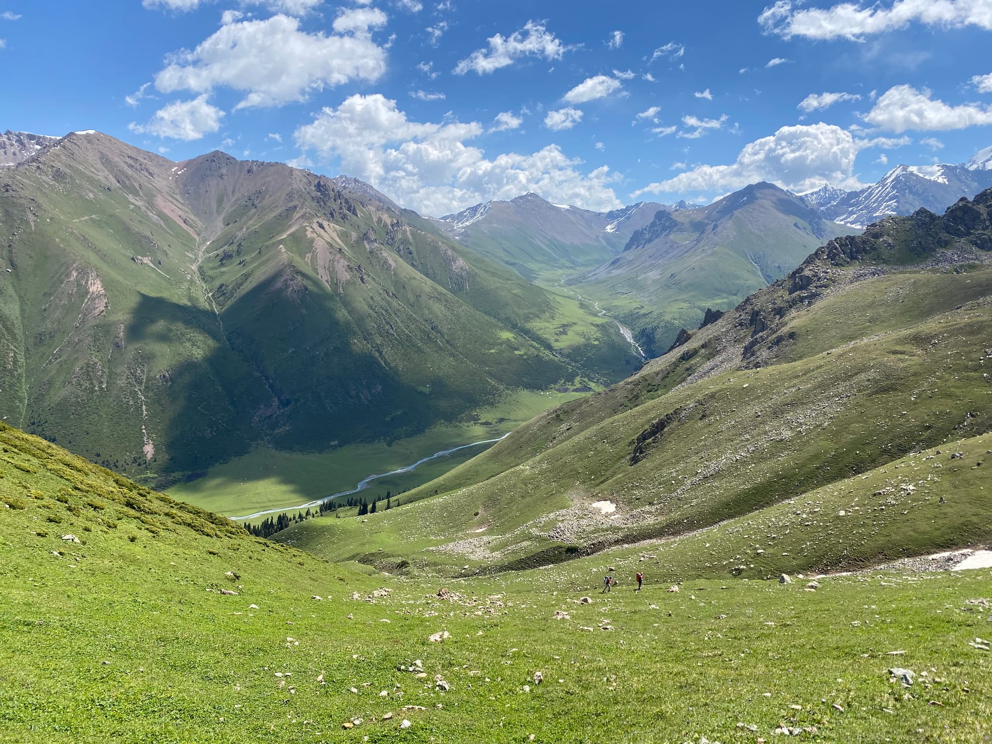
Eventually it was time to continue. I headed east from Altyn-Arashan up a glorious grassy valley. Horses and cows grazed amidst mountains, and marmots whistled in the distance.
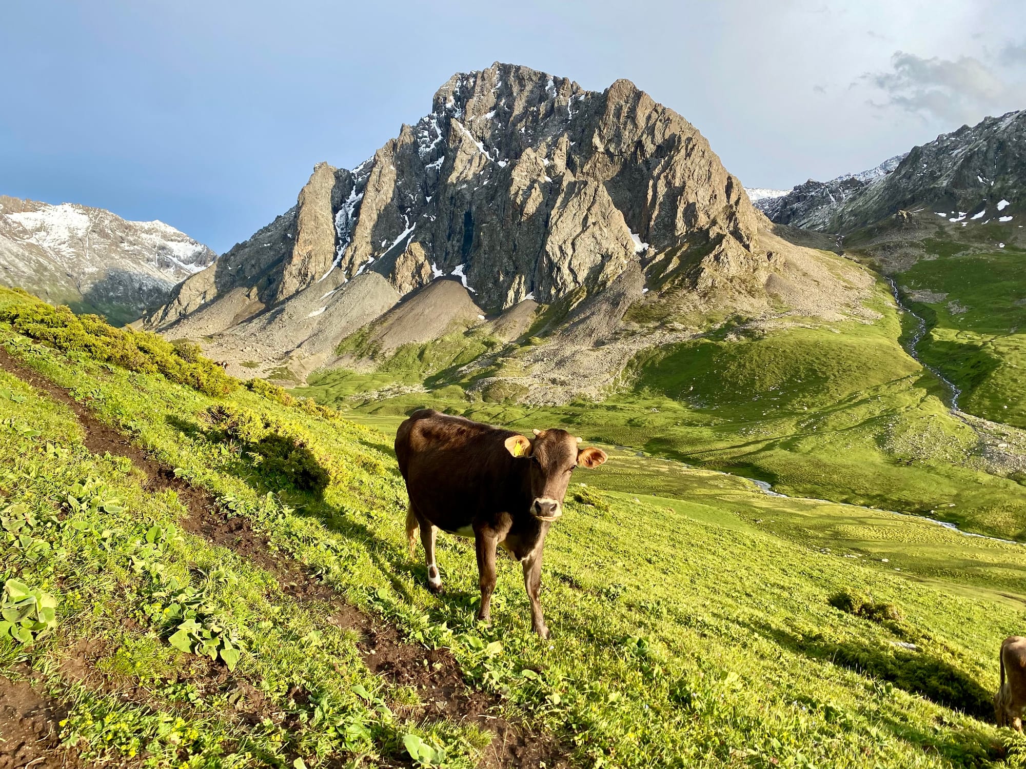
I hiked about halfway up to an unnamed pass and set up camp on a flat bench. A few minutes later I heard a noise outside the tent. When I opened the door I was surrounded by about twenty cows, watching the intruder in their midst! I yelled at them and waved my hiking pole around and they didn't get too close.
June 14
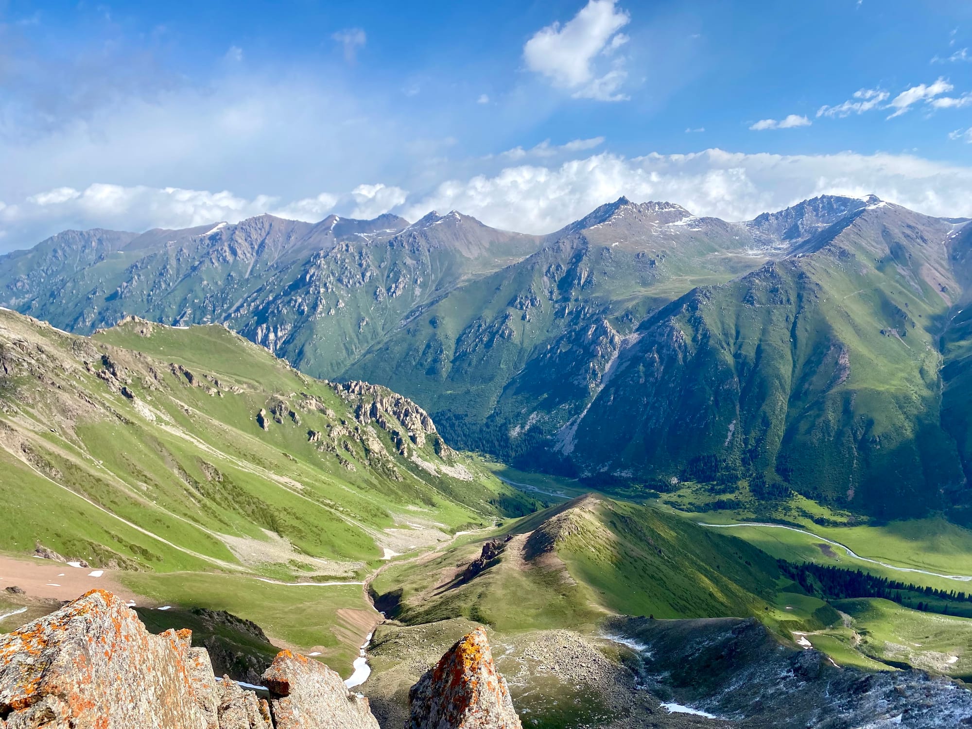
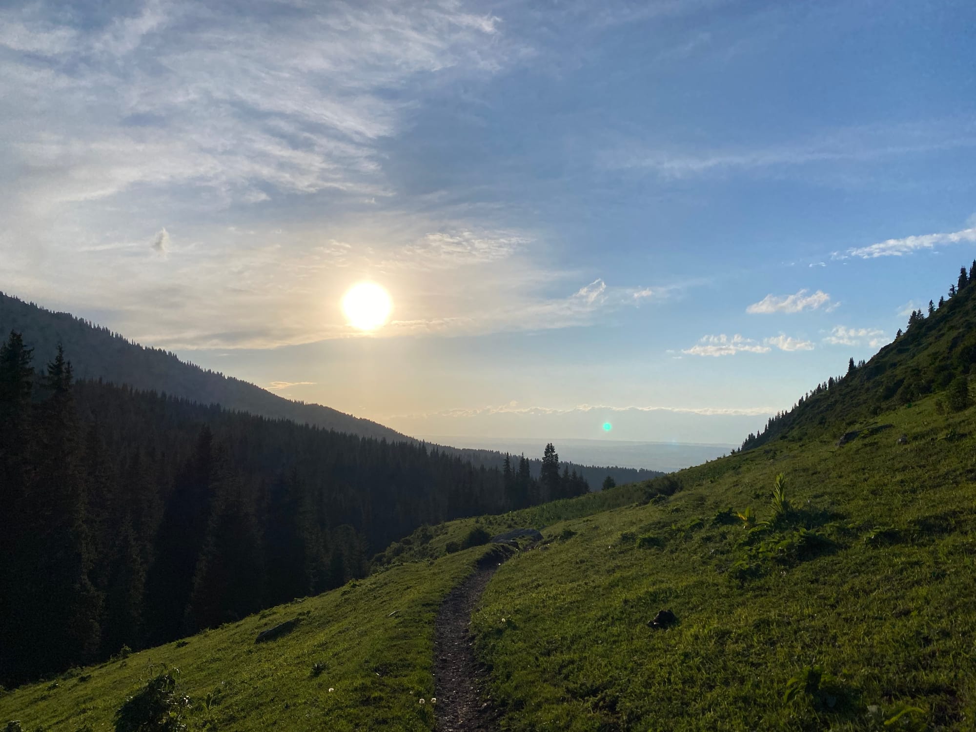
In the morning, the cows were grazing, taking no notice of me. I hiked the rest of the way to the unnamed pass. A small bump on the southeast side of the pass offered excellent views, including of a pyramid-shaped peak to the east.
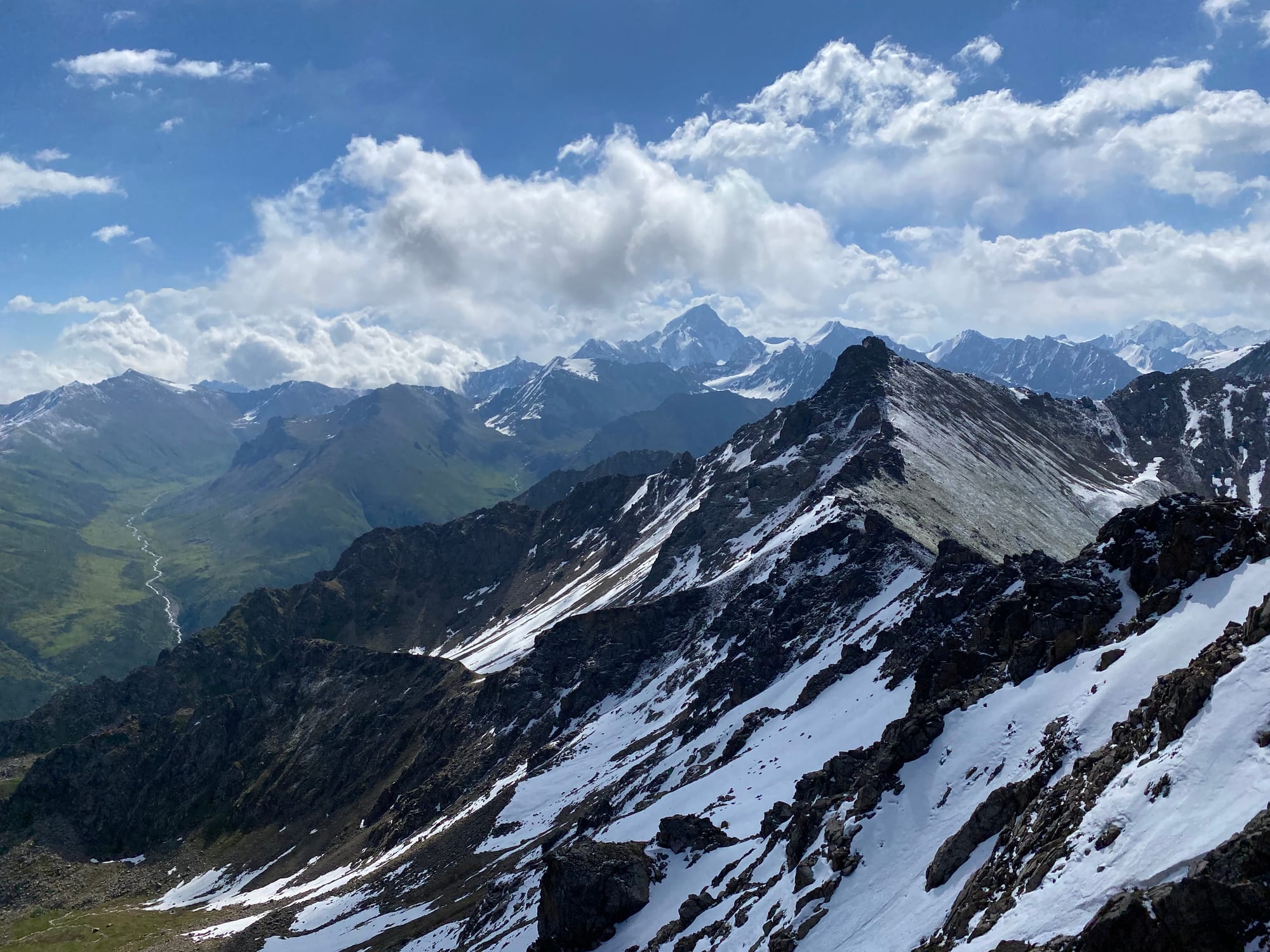
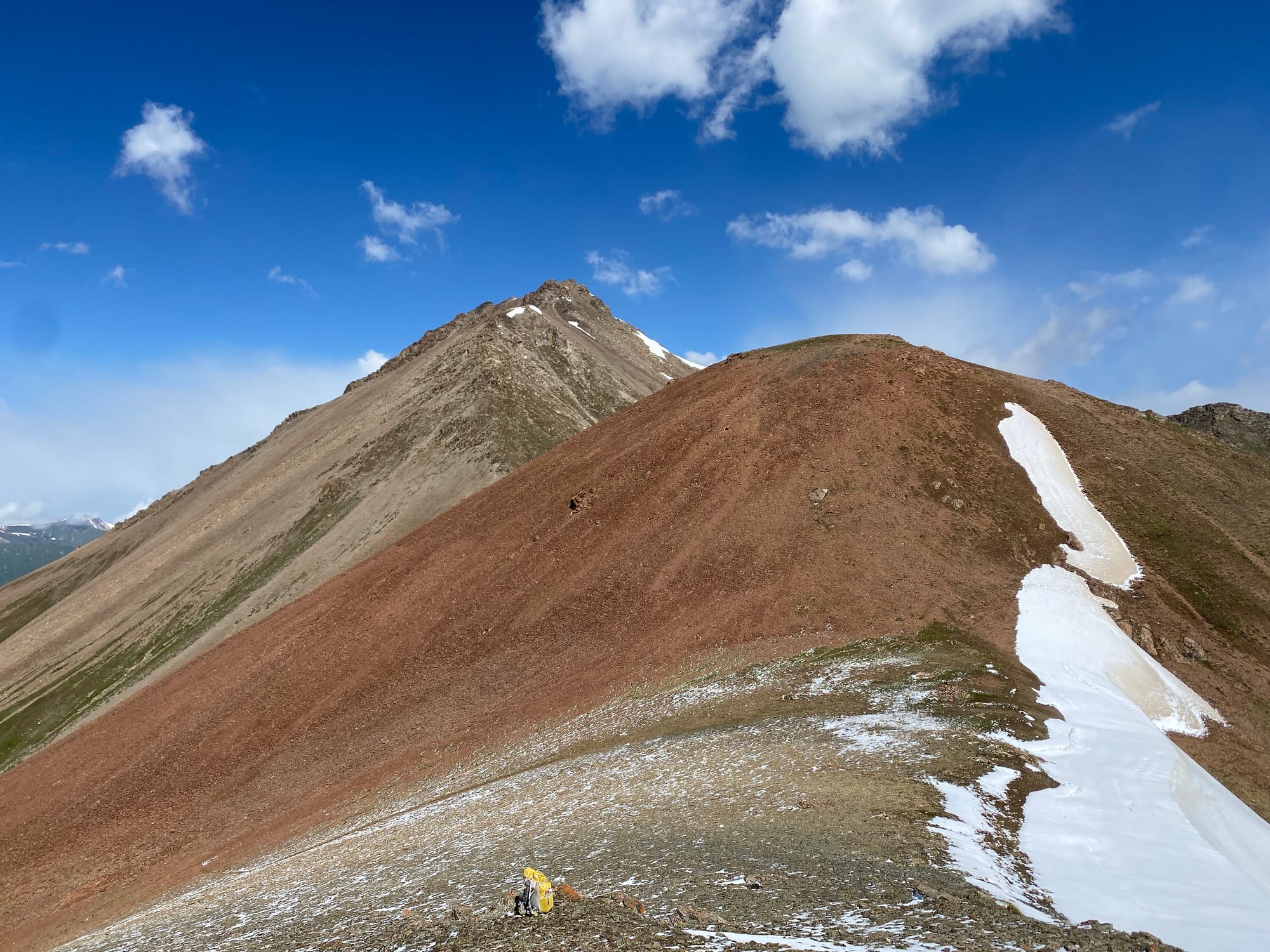
After a long break on that peak, I returned to the pass and descended a trail, passing a yurt camp whose inhabitants were butchering a sheep. I crossed the river on a log bridge and ascended yet another valley to Alanysh Pass. The wind here was quite fierce.
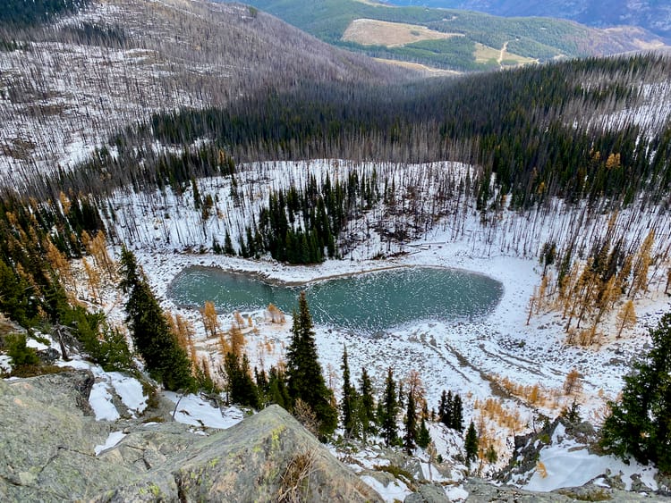
I wanted to stay at the Kara-Kyz yurt camp, 14km away at the base of the next valley. The trail there led past a series of lakes, crossed another river, then turned to the northwest and followed that river for a while.
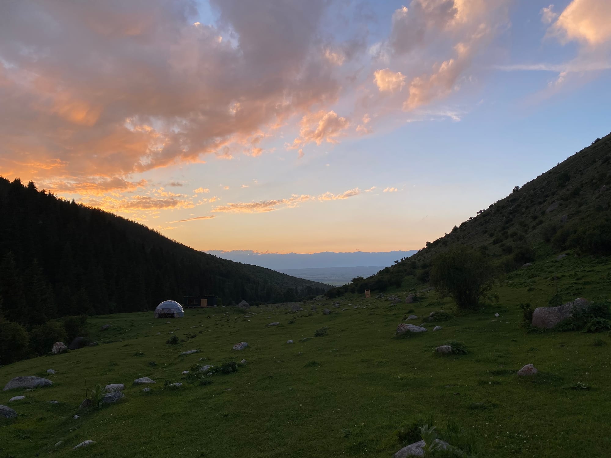
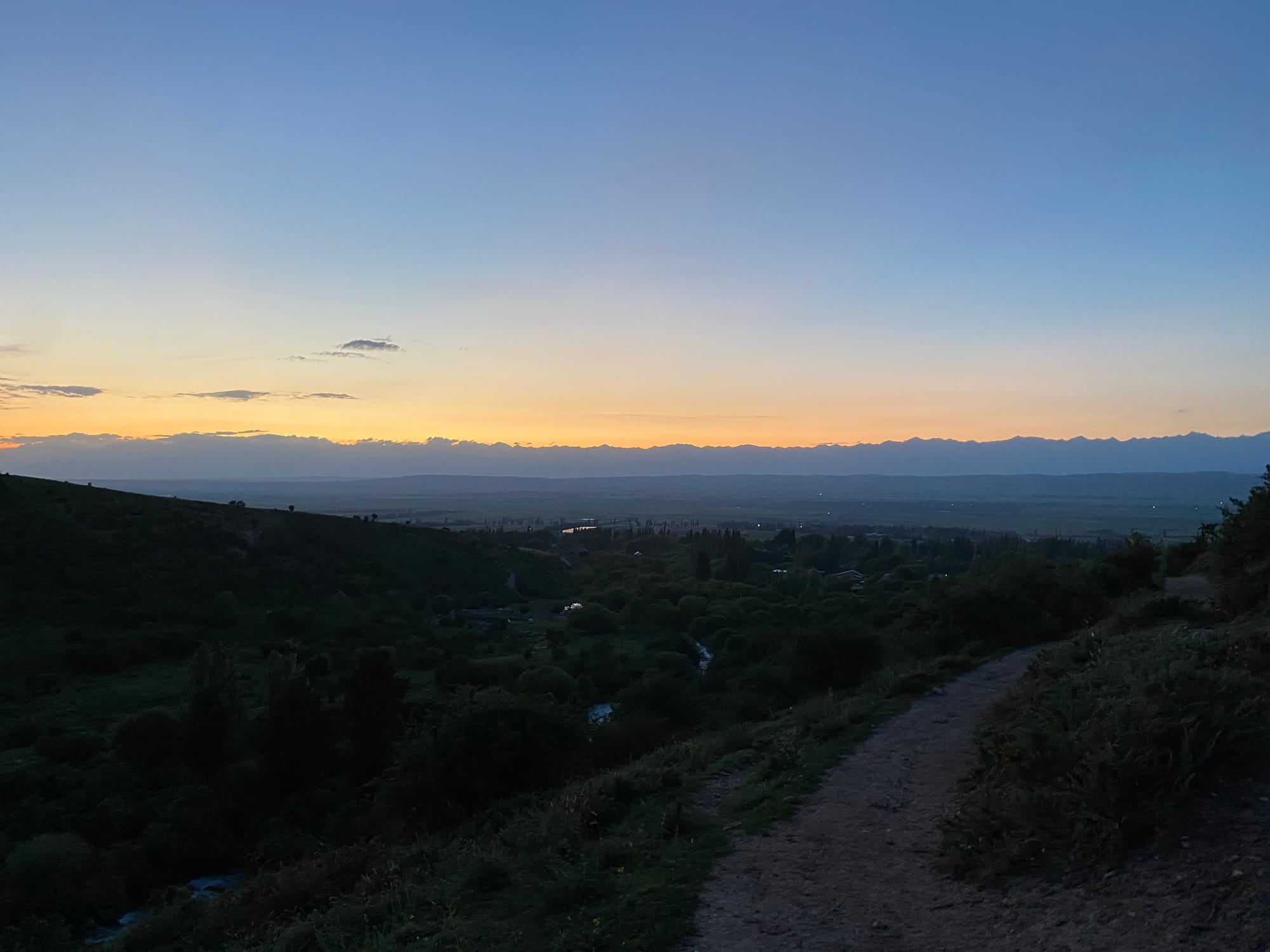
As I descended the valley, the mountains on the other side of Lake Issyk-Kul became clearer. Around sunset I arrived near the yurt camp. One problem: it was on the other side of the now fast-flowing river, which was too deep to ford, and there was no bridge. I’m guessing most people cross the river on horseback or during drier conditions. There was no safe way to access the yurt camp, so I would have to camp. I kept hiking on the north side of the river and eventually found a flat enough space on the side of the hill. Something was telling me to get off the main trail so I found a grassy area that would hold my tent. In the night there was a fierce storm and my tent was almost blown off the hill.
June 15
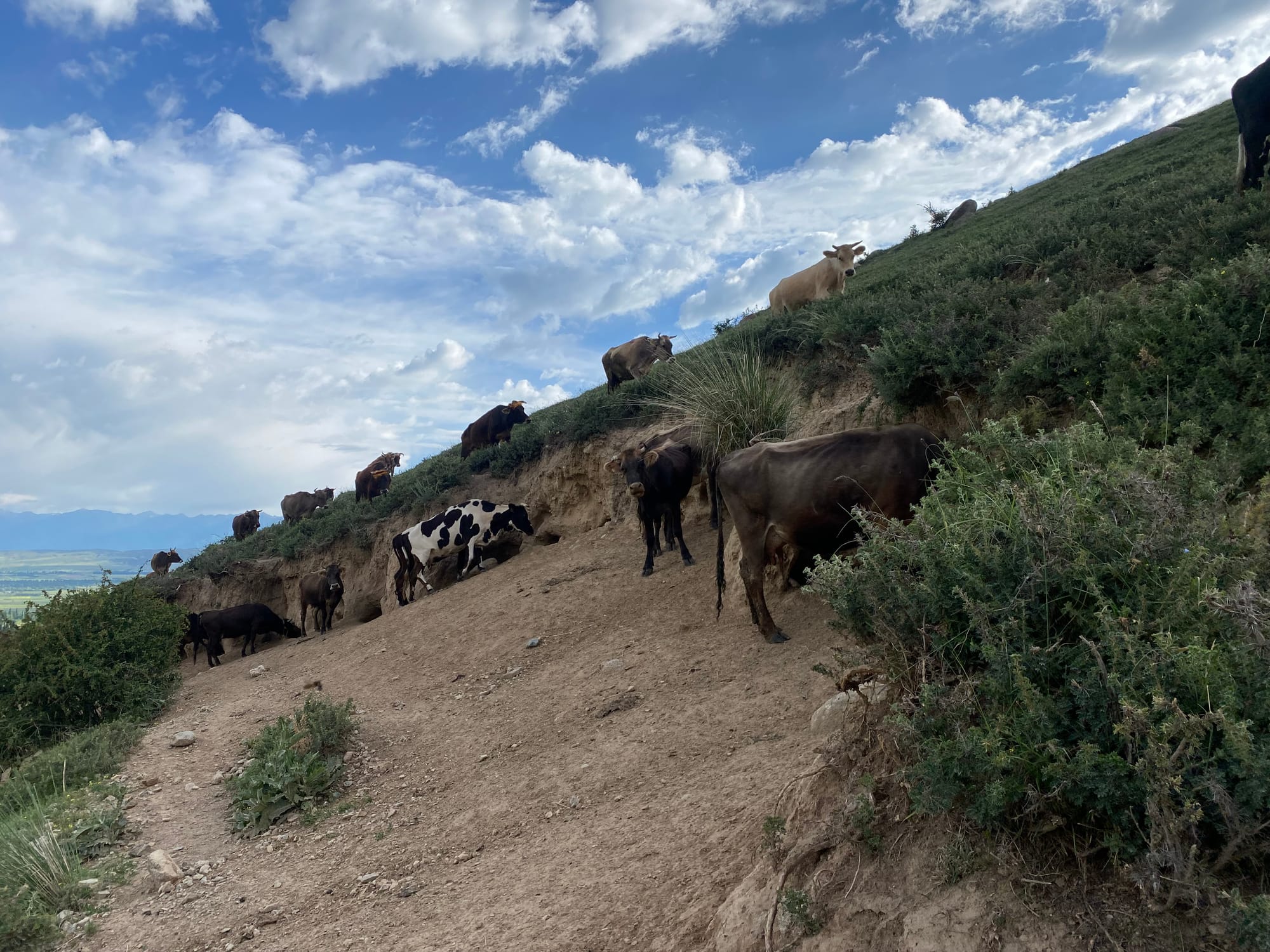
I woke up to the sound of hooves. Local nomads were driving hundreds of cows along the trail up the hill. I’d made the right call by staying out of the trail.
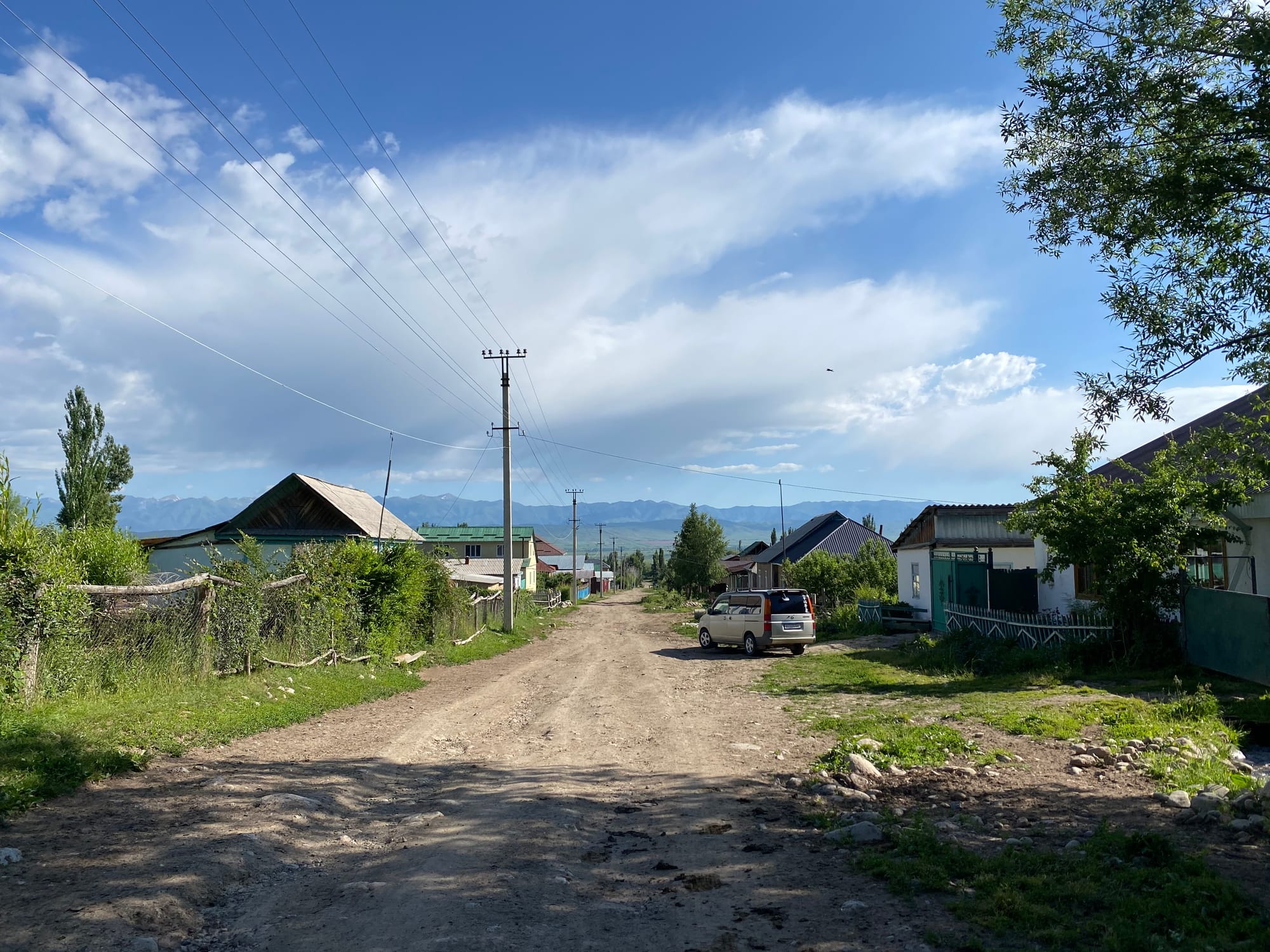
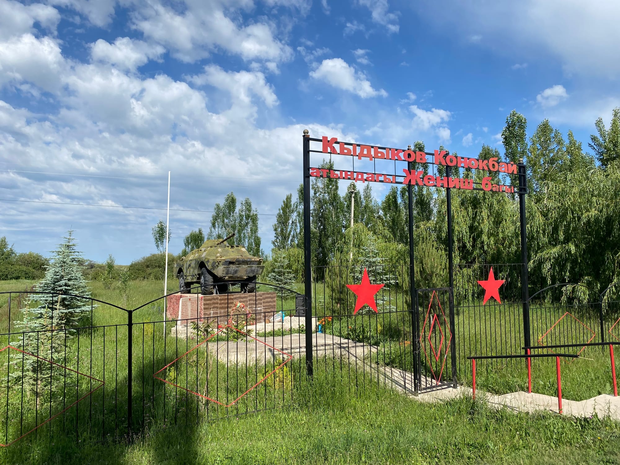
Once they left, I packed up and walked into the village of Kara-Kyz, passing a Russian war memorial en route to the highway. From there I caught a ride back to Karakol. On to the next adventure.
Member discussion