79 Grind (Rockwell Knob/Rolley Peak)
Date: February 23, 2025
Distance: 6.5km round trip (if staying on official route); 7.08km (with logging road detour on descent)
Elevation gain: 530m
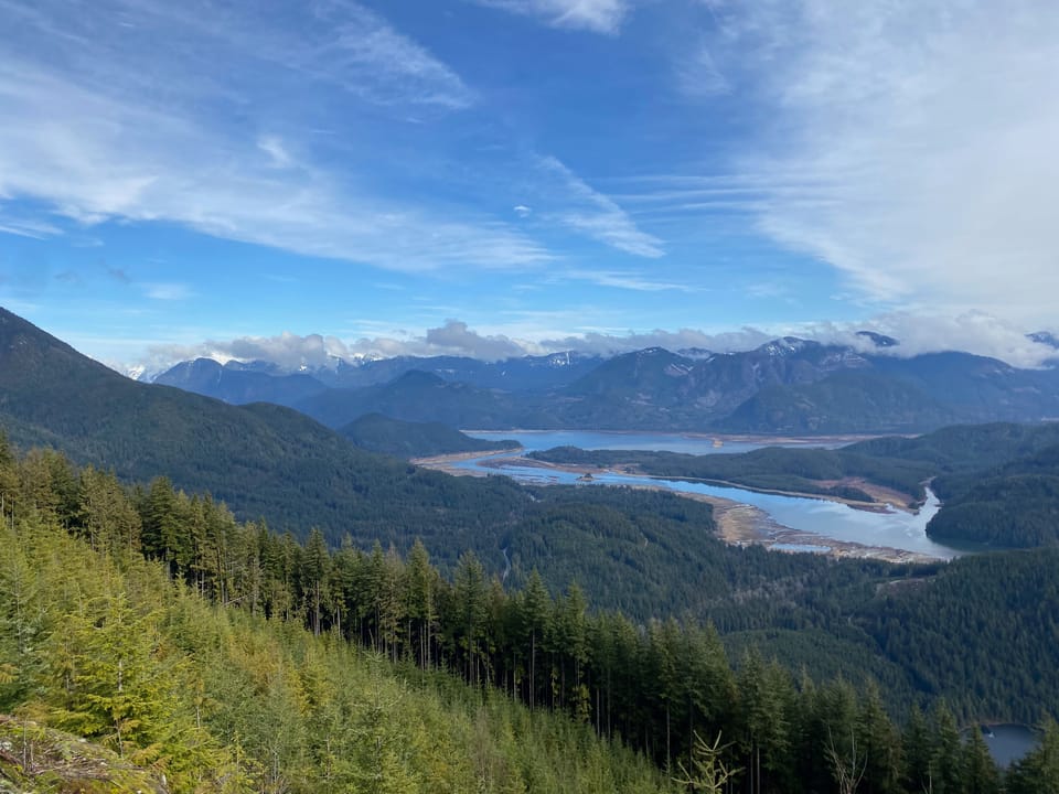
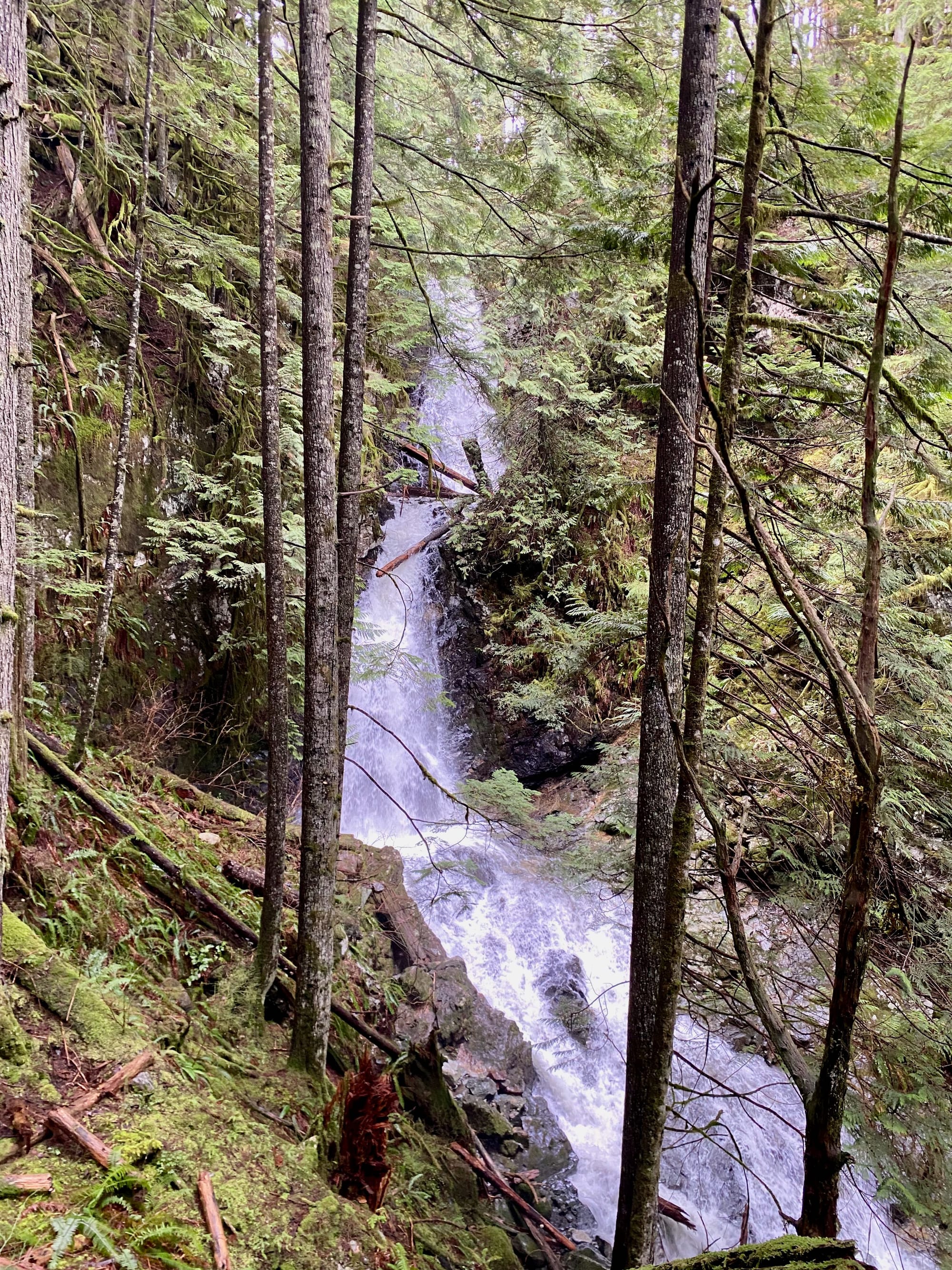
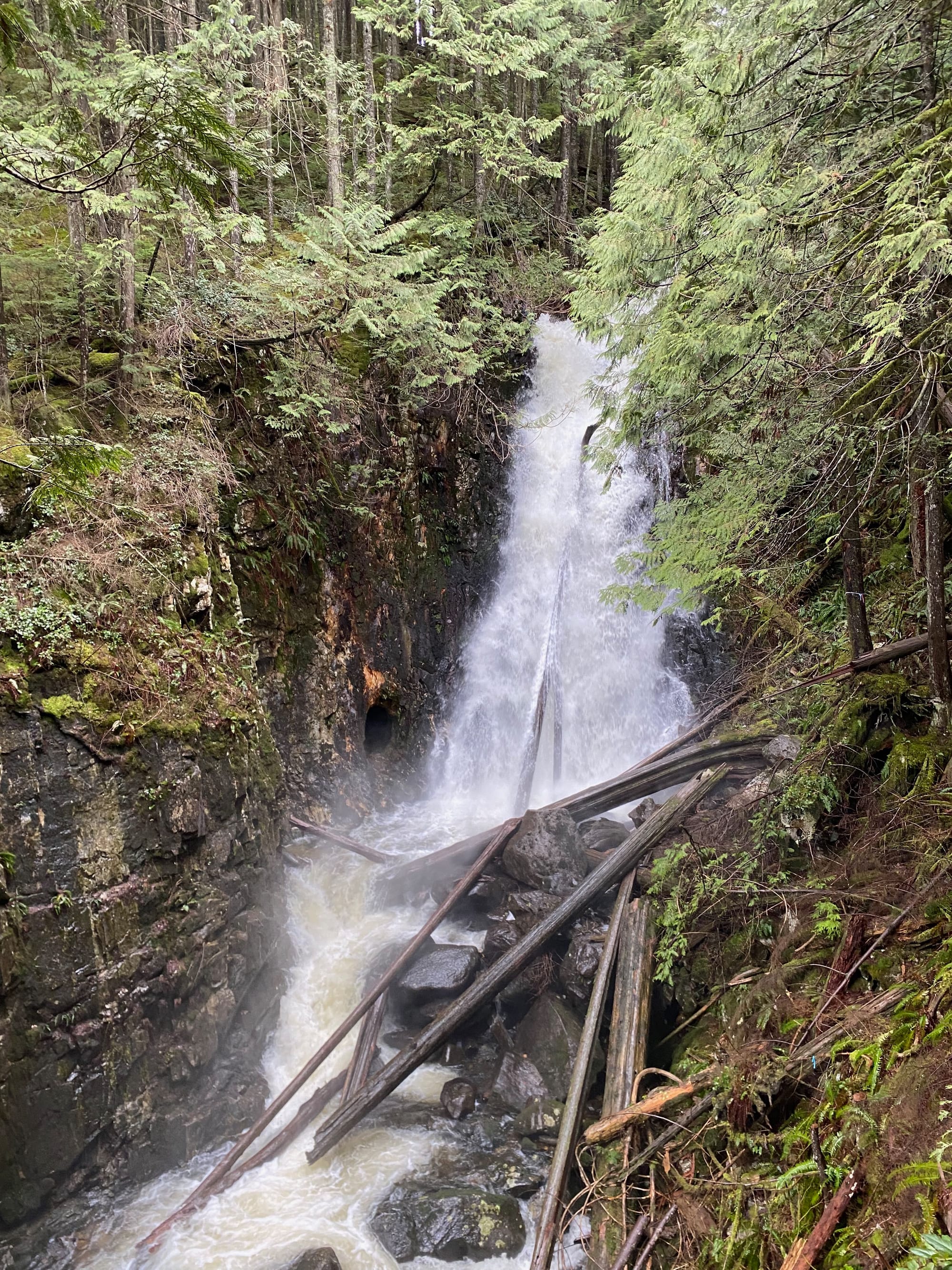
The 79 Grind leads steeply through a forest north of Mission, passing waterfalls and a viewpoint. It’s a relatively new trail, built by the city of Mission in 2022. The highlights of this hike are the great views of Stave Lake and its surrounding peaks from the Rockwell Knob viewing platform, and the detour to Fiddlehead Falls and Seventynine Creek, after which the hike is named. I did this hike in February 2025; the original plan was to do some short waterfall hikes, but the forecast was better than expected so I detoured here. It turned out to be a very pleasant hike that exceeded expectations.
The parking lot is located along the Florence Lake FSR, accessed from the Stave Falls Dam. The road has many potholes but was manageable in my 2WD low-clearance car. A parking lot has recently been built around 6.5km from Stave Falls, with a large plaque describing the history of forestry in this area.
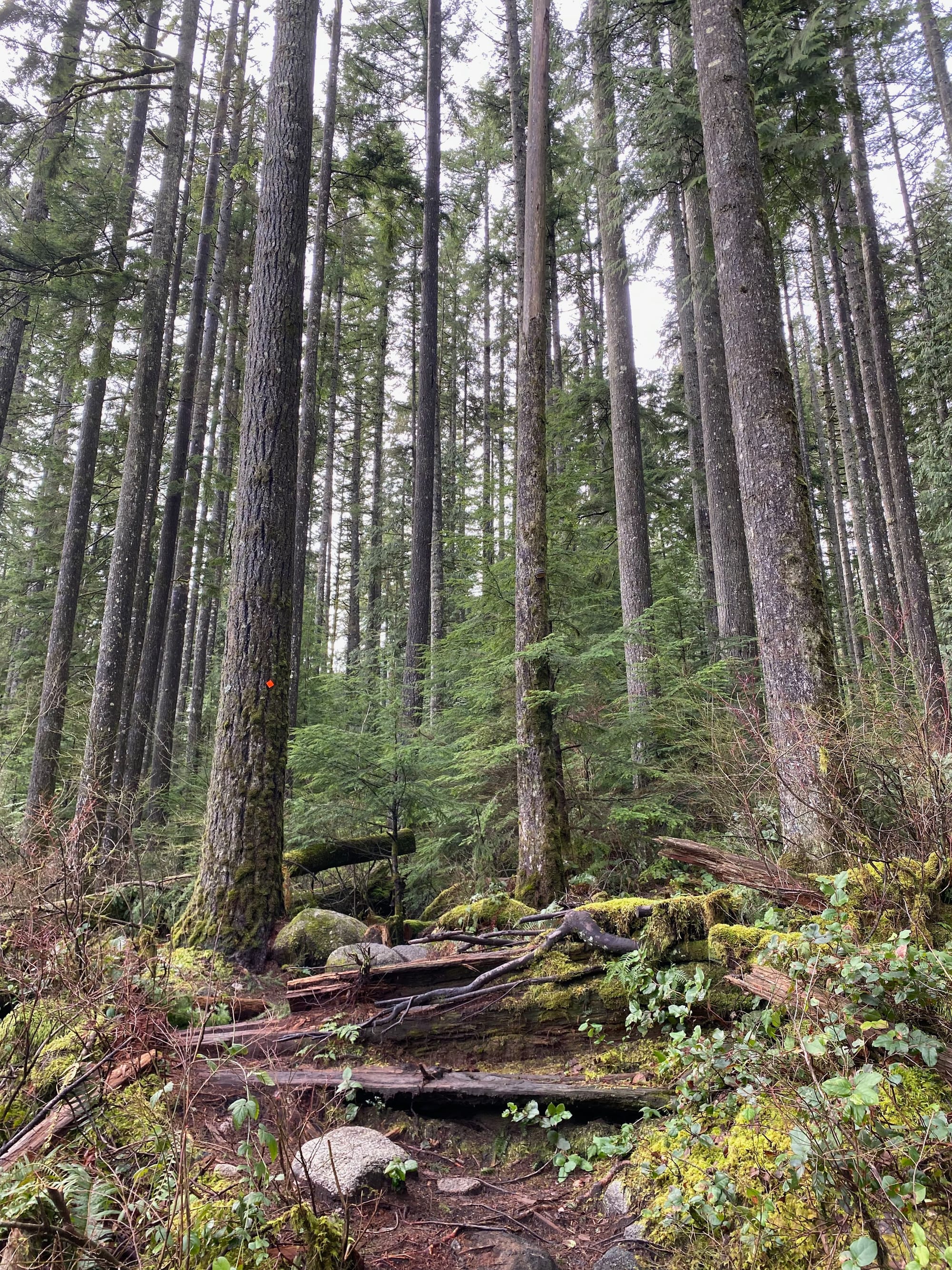
I crossed the road, walked over some boulders, and soon I was on the trail, marked with orange blazes. The elevation gain began immediately. The lush green forest in this area was quite pleasant, although there were a couple spots where clearcuts could be seen through the trees.
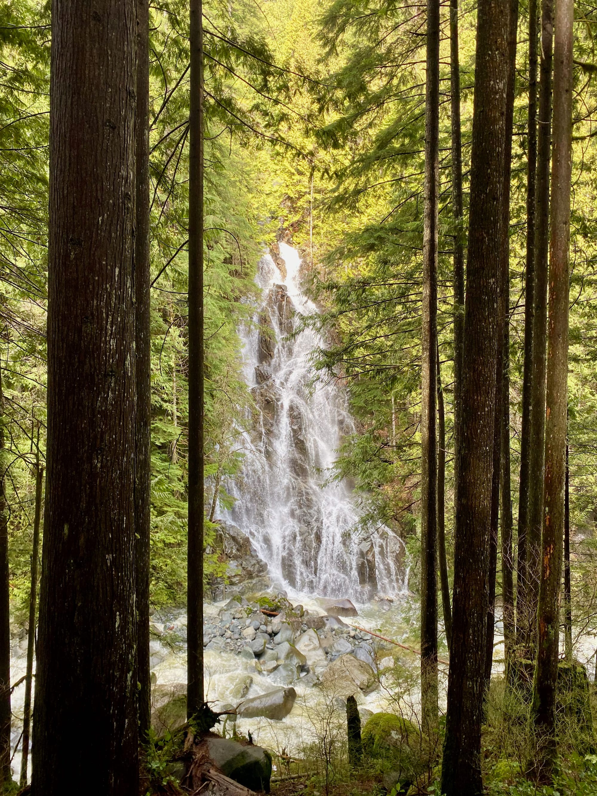
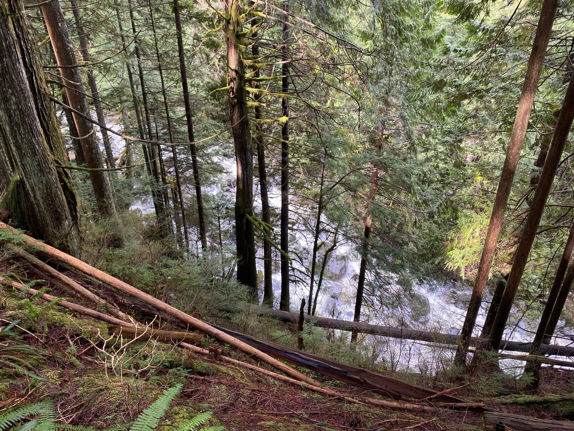
After about 500m, a side trail descends into the Seventynine Creek canyon to reach Fiddlehead Falls. The trail was worth the detour, but it was very steep and slippery in places. Closer to the creek, there were a couple scrambly steps on roots. Be careful. The best view is actually about halfway down the trail, where trees perfectly frame the waterfall. It had extensively rained over the past week and the waterfall was roaring!
A few hundred metres past the falls, the trail crossed the first of several logging roads, re-entered the forest, then crossed another logging road.
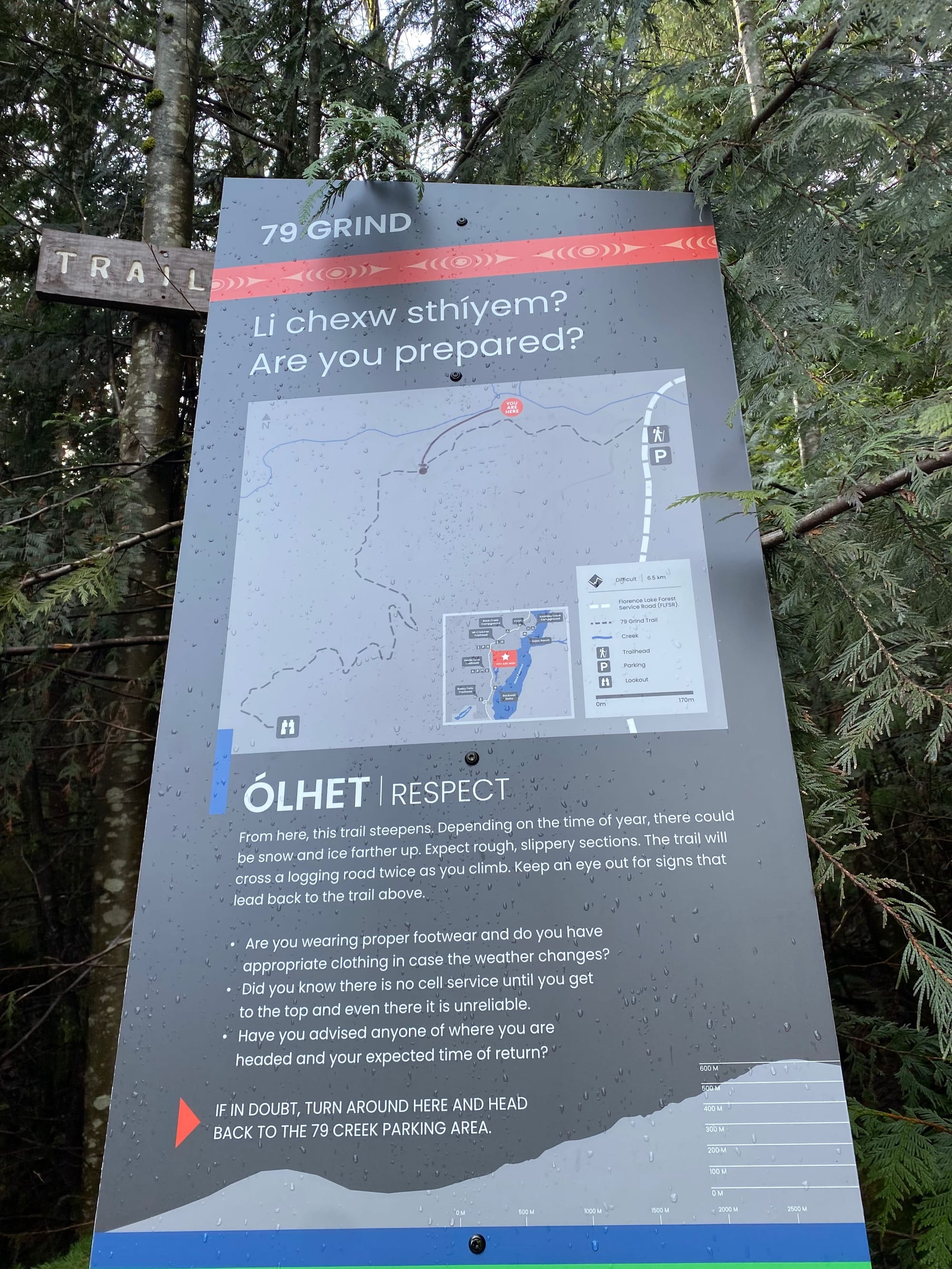
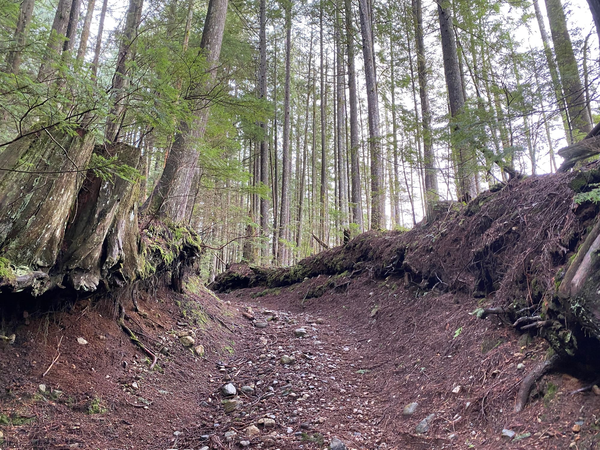
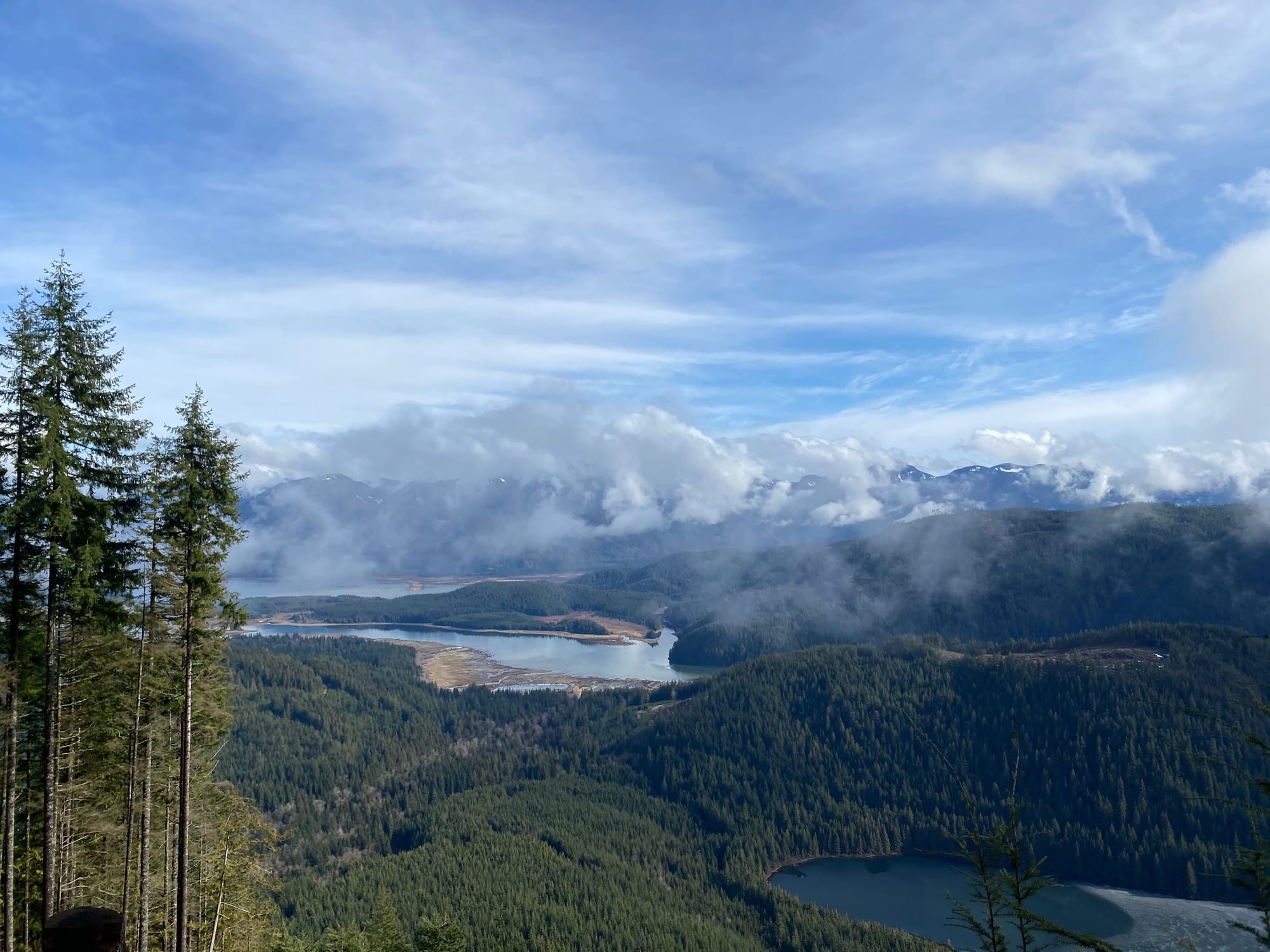
From here, the trail became even steeper, switchbacking up the northeastern side of Rockwell Knob. There were intermittent views through the trees. I soon reached one final logging road, and a short walk to the east took me to the viewing platform. From there, I appreciated the panoramic views of the lake.
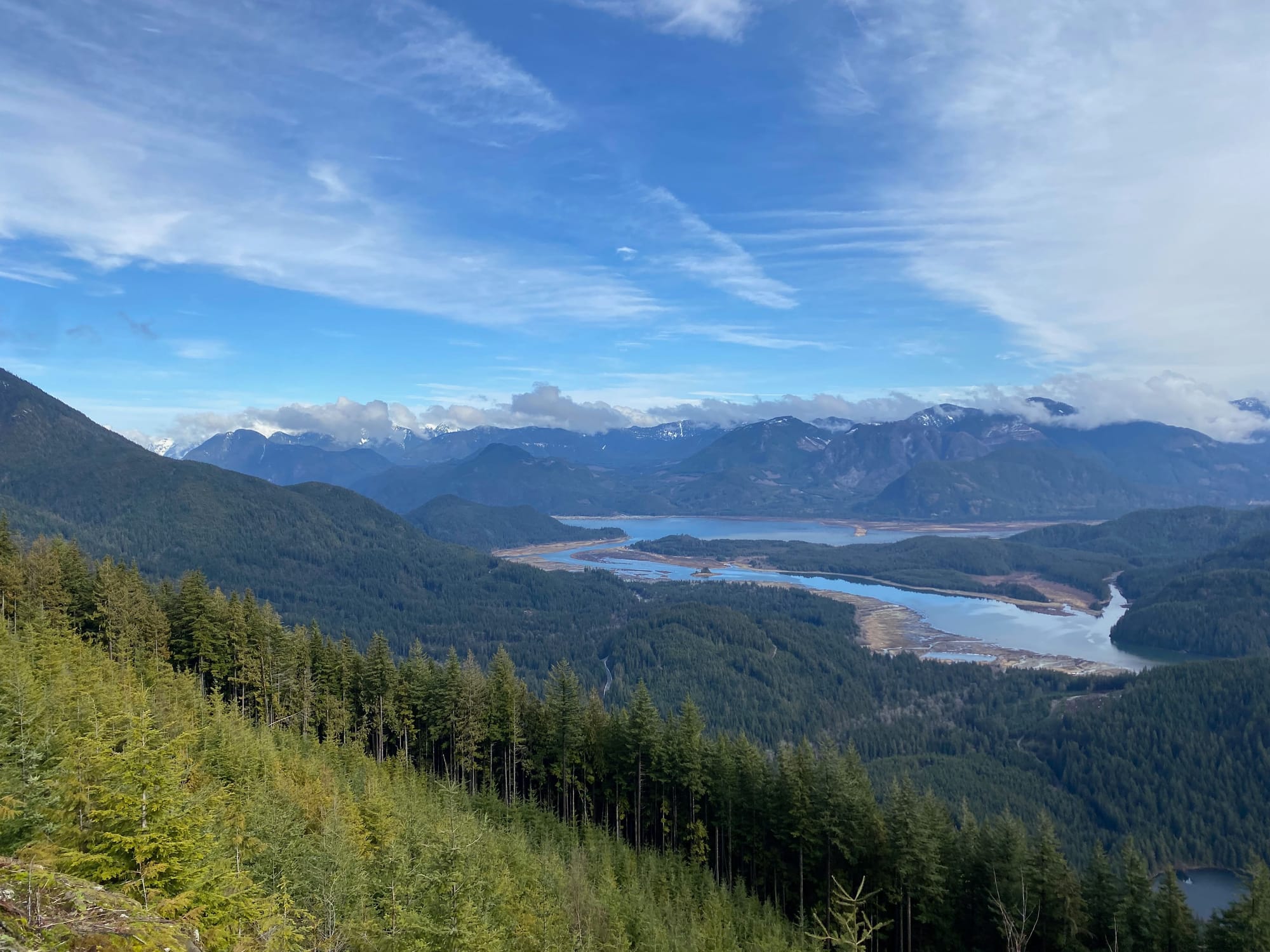
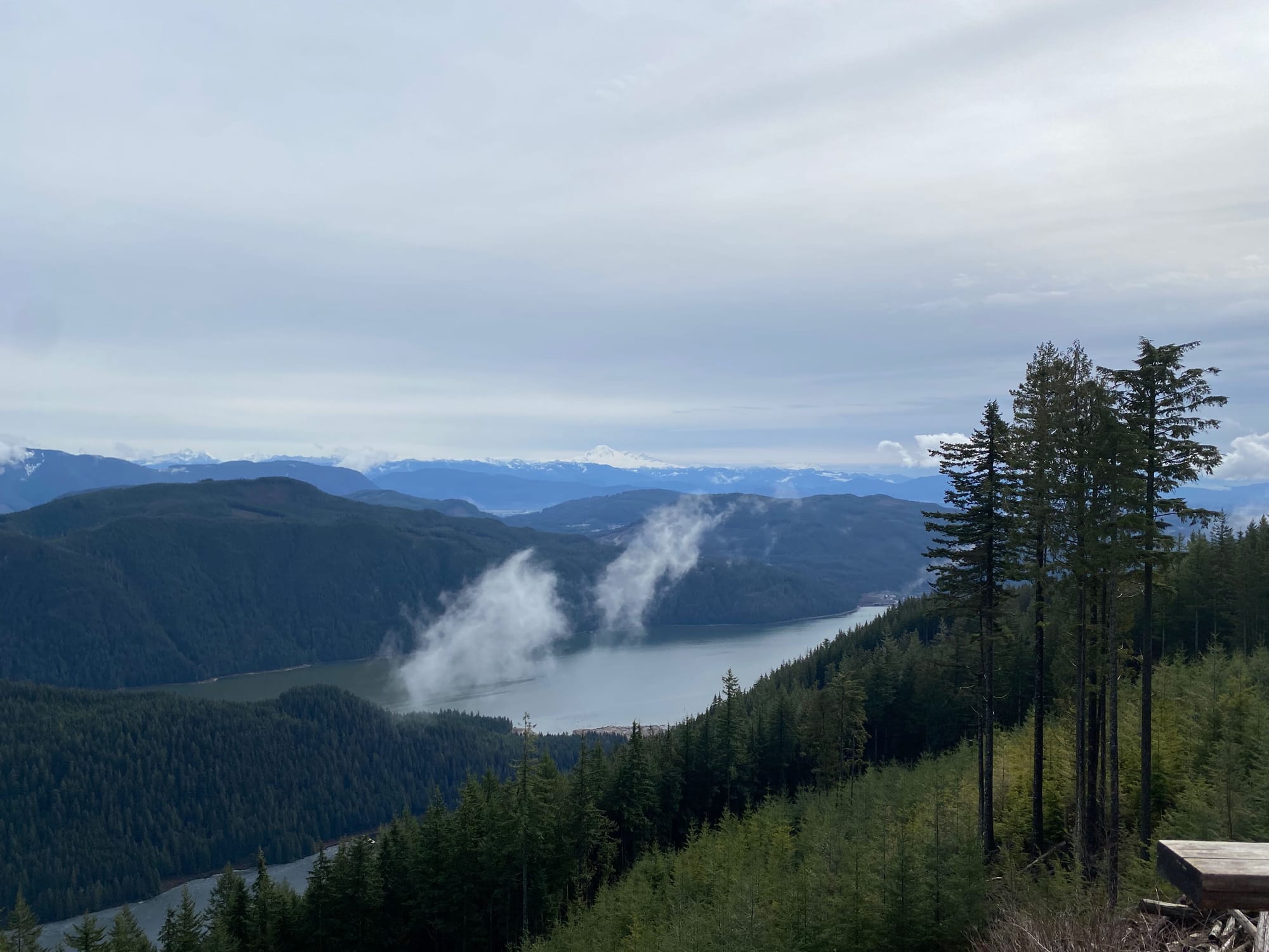
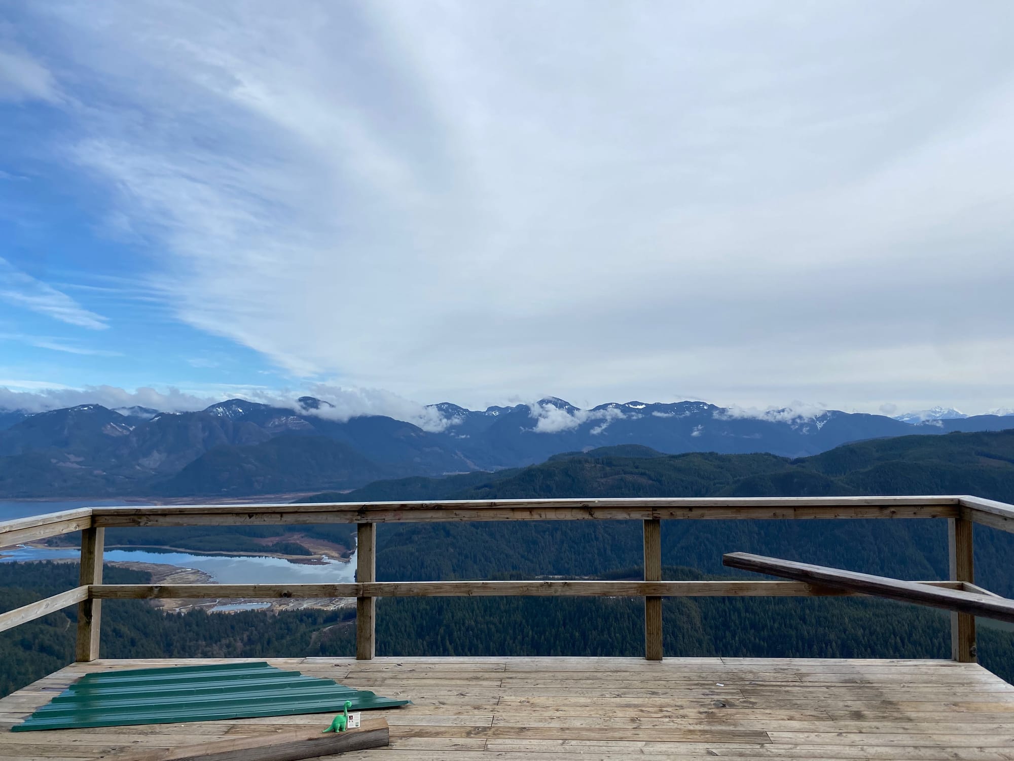
The hill is now called “Rockwell Knob”, but was unofficially referred to as “Rolley Peak” in previous years. The highest point is in the forested area to the west of the viewpoint, but there are no views and access is discouraged.
I retraced my steps down the switchbacks, then decided to jog down the second logging road to save time. I ended up about 600m from the parking lot, then walked back to the car, avoiding trucks. To wrap up the adventure, I drove down the road and visited some of the other waterfalls in the area.
Overall, this is a great little adventure. I’d definitely recommend it.


Member discussion