5040 Peak
Date: September 14-15, 2024
Distance: 8km
Elevation gain: 933m
GPS: Alltrails Link
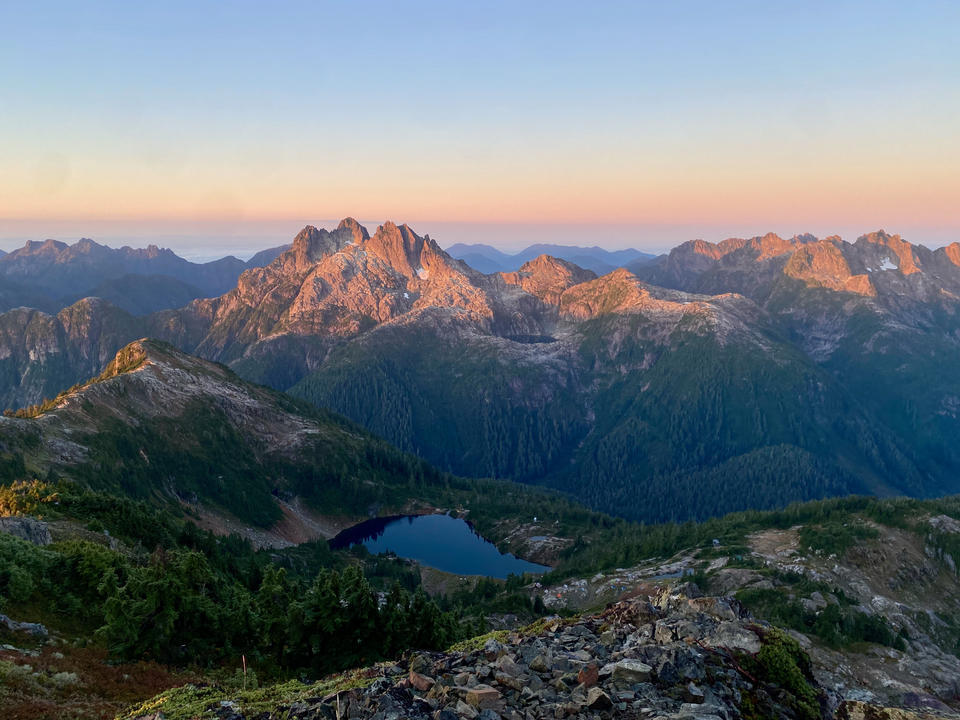
5040 Peak is a very popular hike located between Port Alberni and Tofino. Because of its location, it has an excellent view of the mountains of central Vancouver Island, especially rugged Triple Peak. It’s also relatively short, being only 4km from parking lot to summit. As a result, it’s blown up on Instagram lately and sees a lot of traffic. In my opinion, this hike and Panorama Ridge are the best of the extremely popular SWBC hikes. I’d recommend visiting in the fall, as we did, to avoid the biggest crowds.
Isla and I woke up somewhat early, took the ferry to Nanaimo (I saw a whale in Howe Sound - never seen that before), and drove north then east. As we got closer to Nanaimo we noticed many cars parked beside the road and many people in lawnchairs. A quick google revealed that this was the 40th annual toy run, in which thousands of motorcyclists from across the country drive from Little Qualicum Falls to Port Alberni in support of the Salvation Army. We’d unintentionally picked the wrong weekend to drive through Port Alberni. We turned the radio on: “the toy run is arriving soon - good luck getting anywhere in town between 12 and 1!” It was 12:15, so we had a long lunch at a local fish and chips restaurant and waited for the bikers to drive by. After an hour or so traffic seemed OK so we continued on.
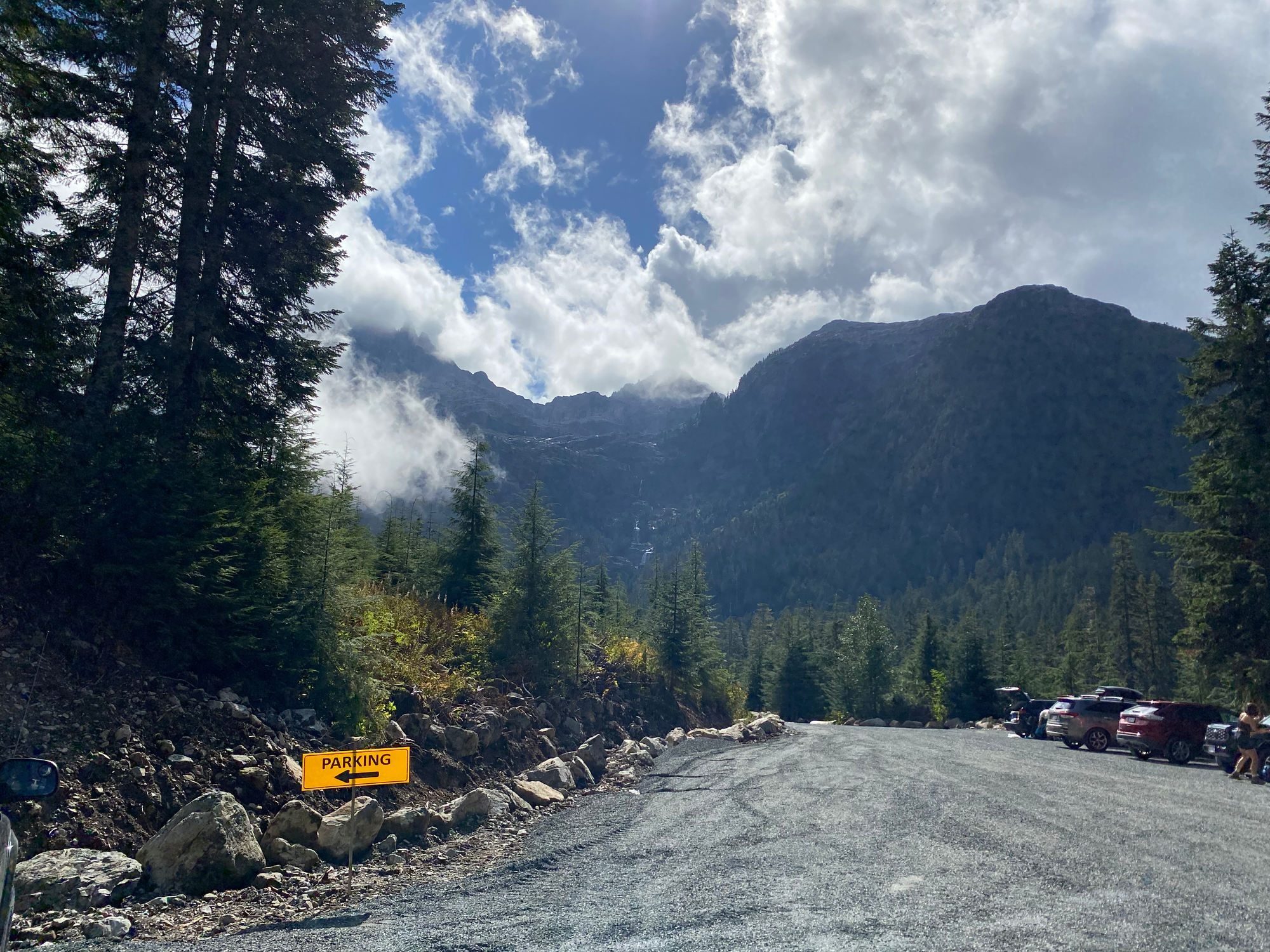
The Peak 5040 trailhead is accessed from the Marion Creek FSR. When we arrived, the road had recently been graded, resulting in the best non-mainline FSR I’ve driven in this province - it was quite smooth and there were only a few tiny potholes. As expected, the trailhead was crowded, but there’s ample parking space and we found a spot quickly. From the parking lot, we were treated to an excellent view of several waterfalls coming off Triple Peak.
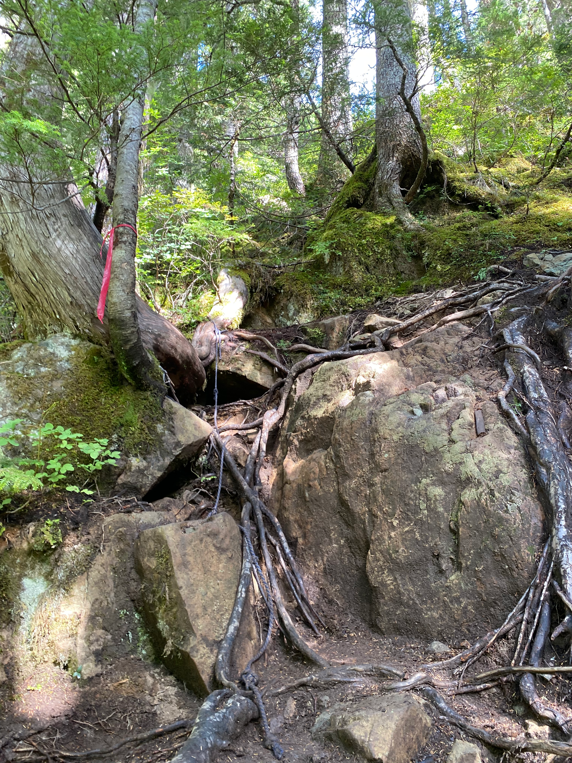
The trail was surprisingly steep and rooty for such an Instagrammed hike, although it’s pretty typical by SWBC standards. A couple fixed ropes are in place at steep sections but many experienced hikers won't need them. For most of the way, the trail follows a creek, with some very small but scenic waterfalls.

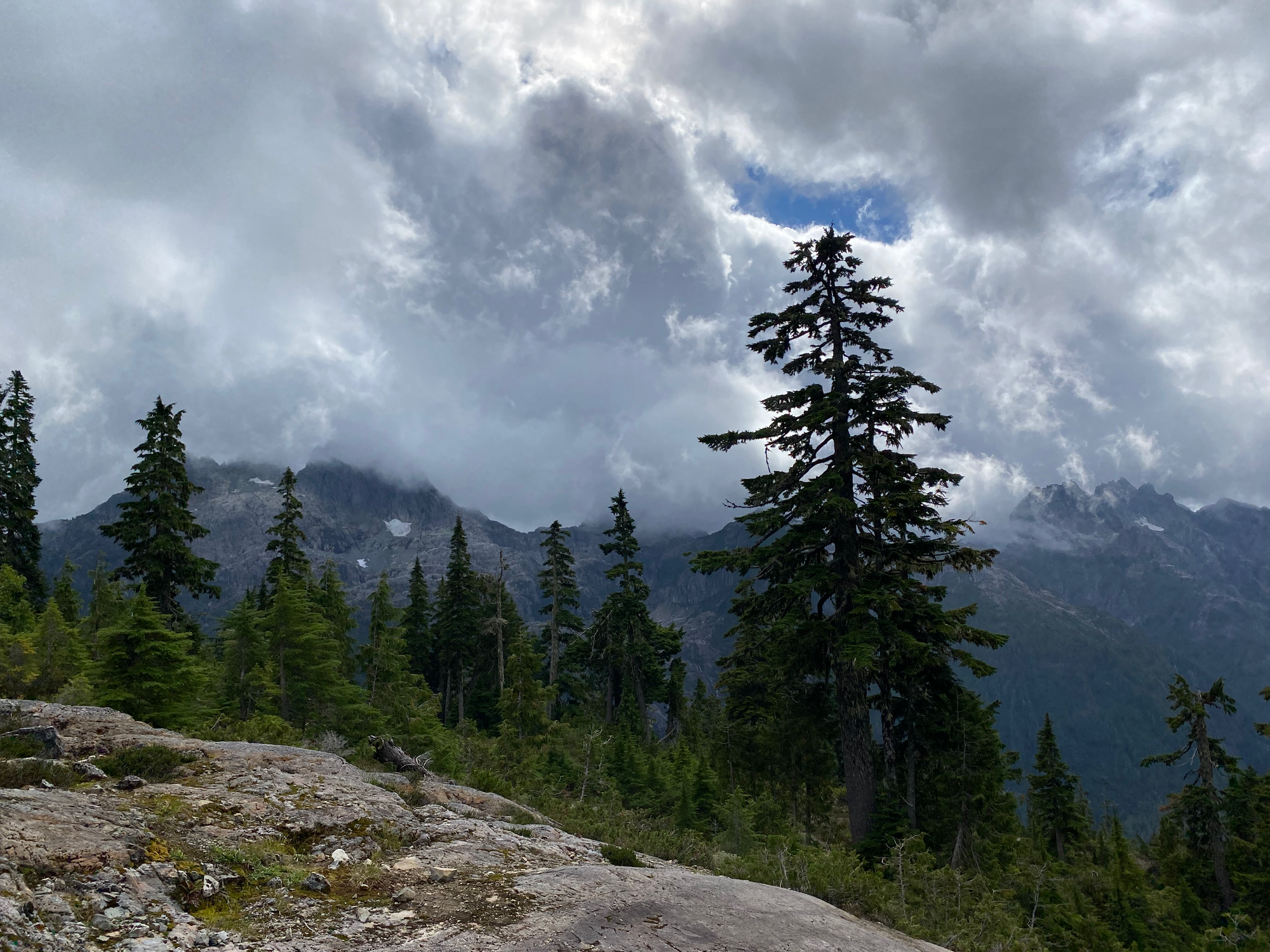
The clouds started to clear as we arrived at Cobalt Lake, which definitely lives up to its name. The blue water and reddish rocks reminded me of the Pierce Lakes near Mount Macfarlane.
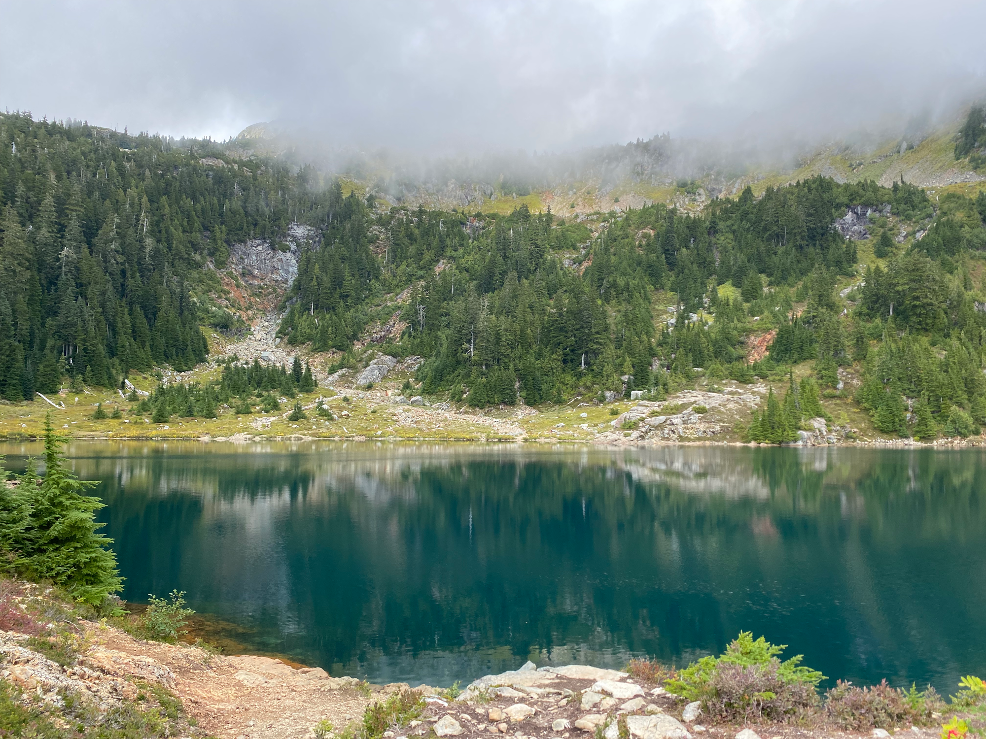
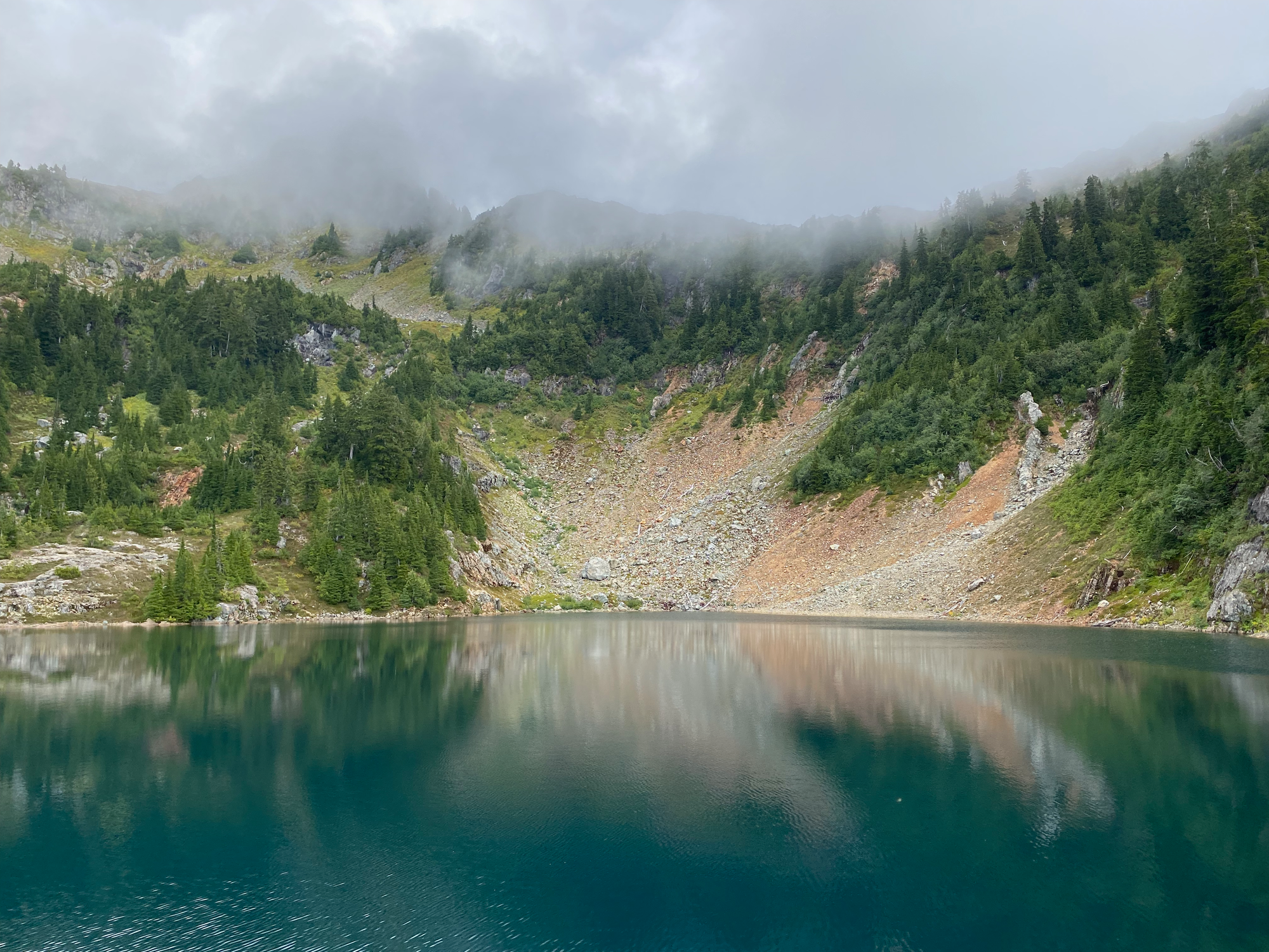
Cobalt Lake is one of two designated camping areas, the other being near the Hišimy̓awiƛ hut above the lake. Signs in the area request that groups stay at one of the two designated campsites. They both have bear caches and outhouses. Some groups also camp on the saddle near the summit, but there are no facilities there.
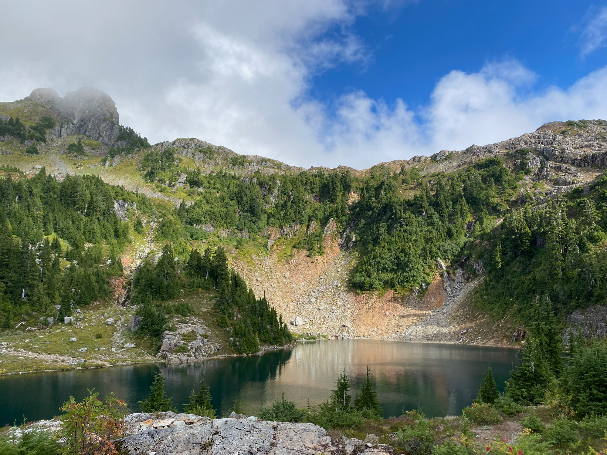
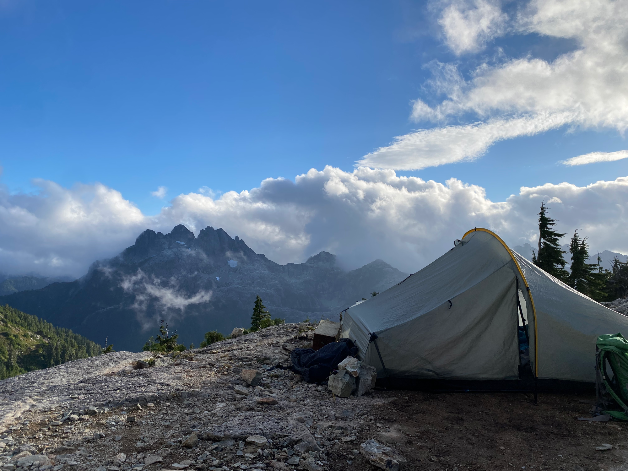
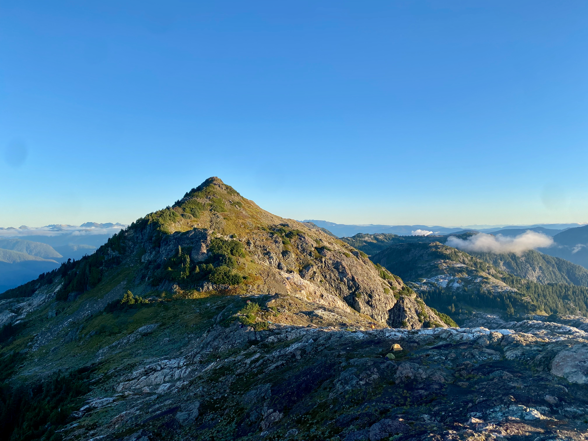
We walked north around the lake and took the trail to the Hišimy̓awiƛ (“gather together” in Ucluelet) Hut, built by the ACC in 2019. The hut can be rented for $150/night (120/night for ACC members) but is otherwise locked. We set up camp at a nearby rocky area, near many other tents. From our tent we had front row seats to majestic Triple Peak.
After a filling meal of dehydrated chili we decided to visit the summit and watch the sunset. The trail climbs a gully then reaches the saddle between 5040 and another small bump. As soon as we reached the saddle we had excellent views across the valley to Nahmint and Klitsa Mountains, both shrouded in fog.
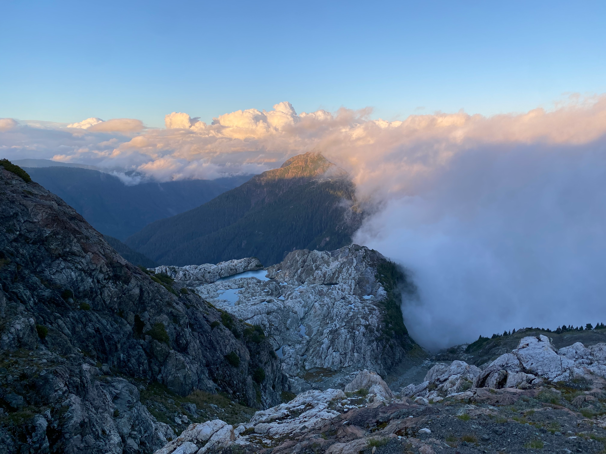
From the saddle, a well defined trail led up the ridge to the peak. At one point a chain helps with a short descent. We soon reached the summit.
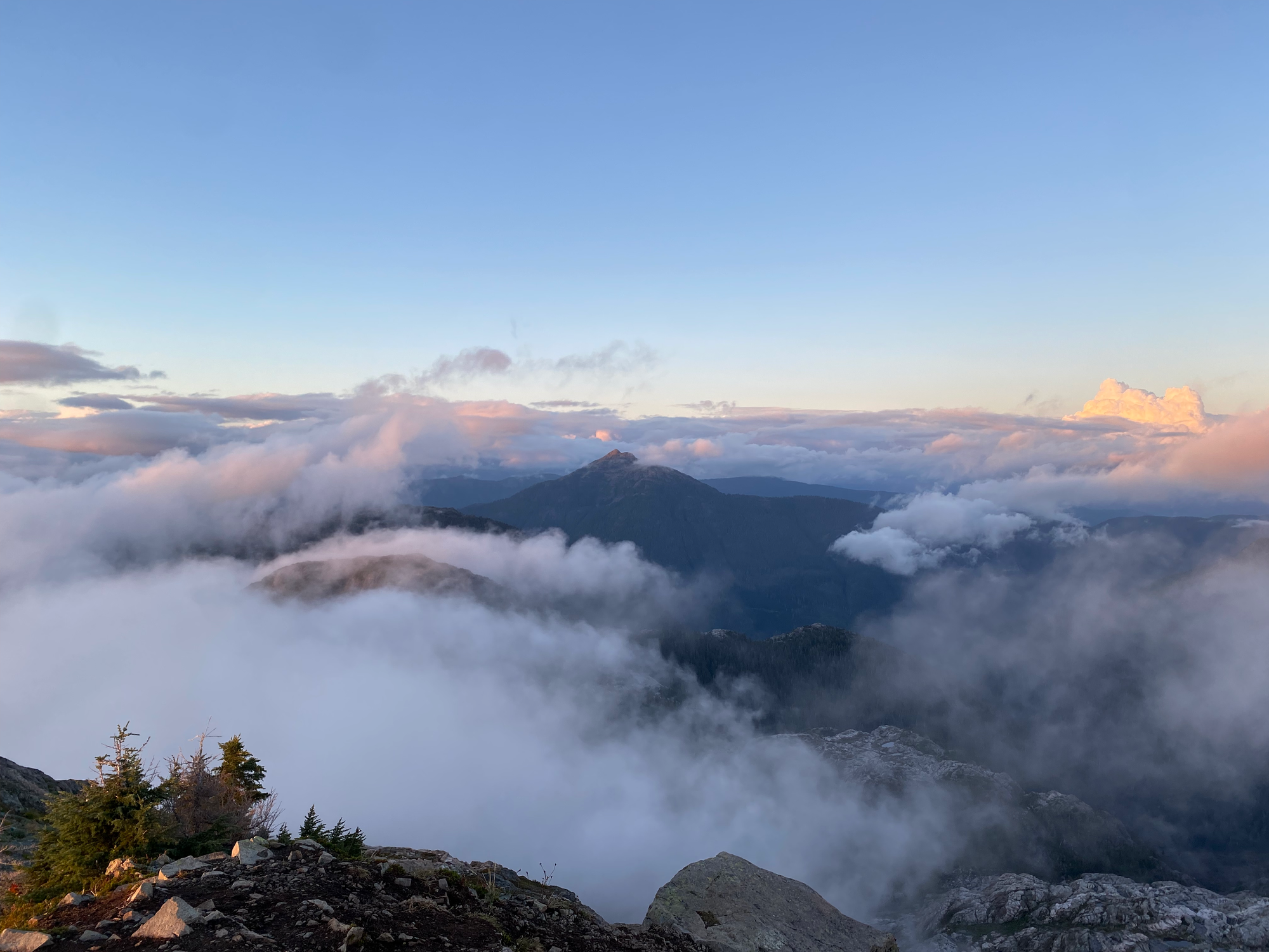
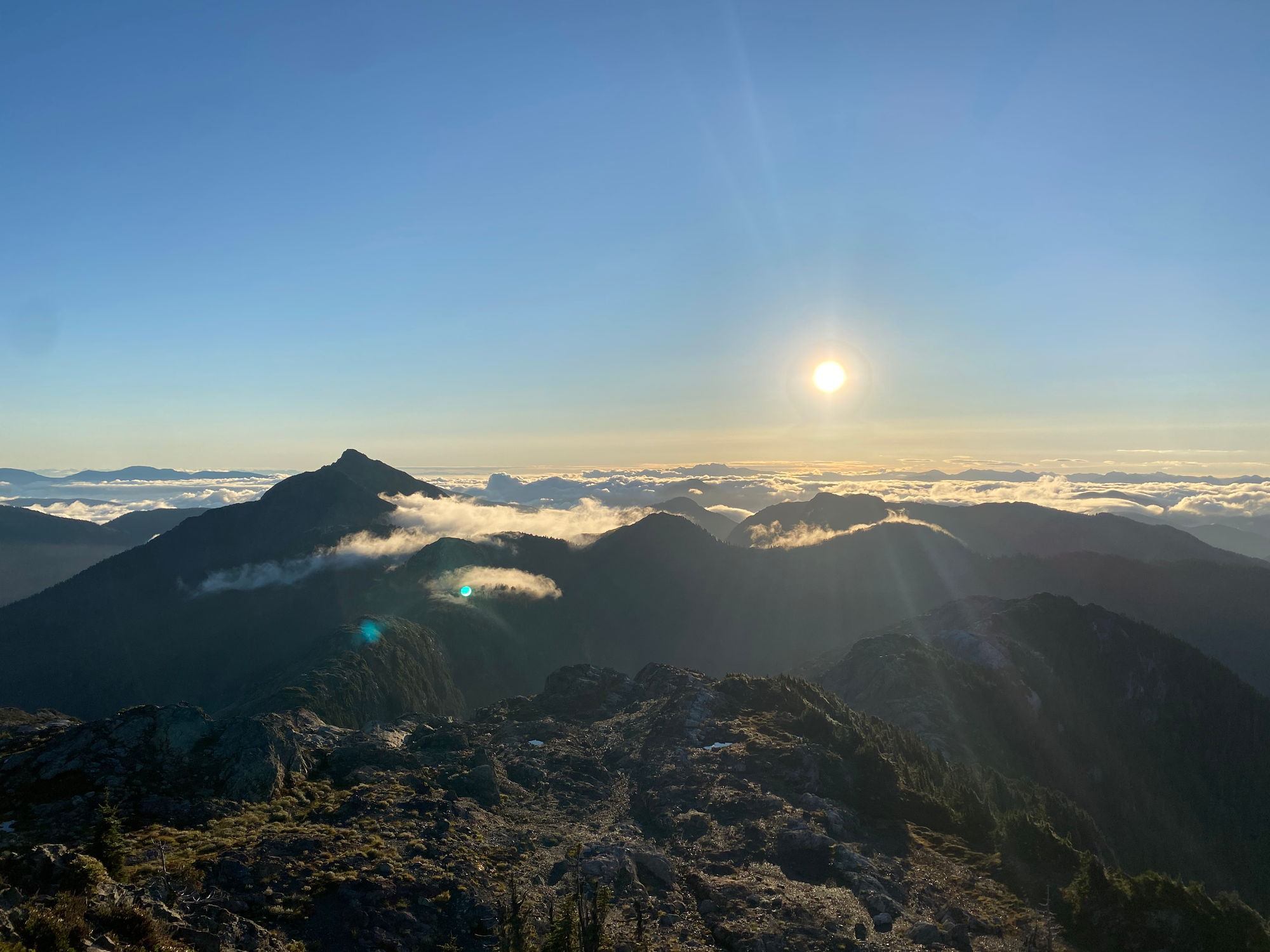
I hadn't seen a sunset quite like that. We were above the clouds, which swirled around the 360 degree panorama of mountains around us. The setting sun coloured the fog in shades of pink and yellow. Peaks from the Tofino area to southern Vancouver Island to the mainland emerged from and re-entered the mist. We returned to the tents in usable light.
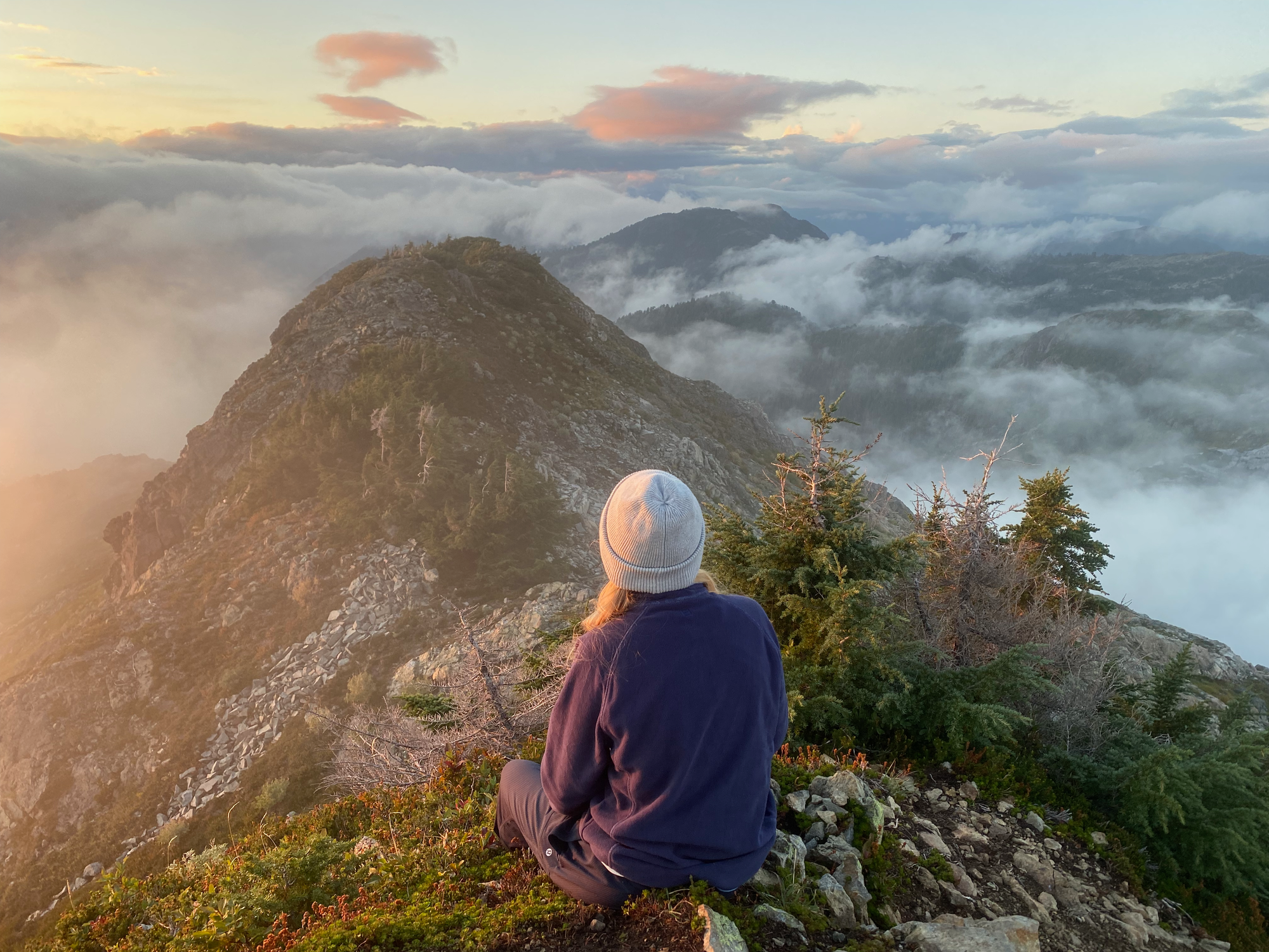
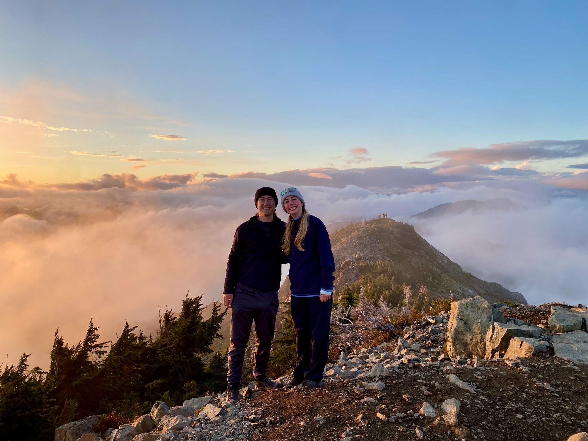
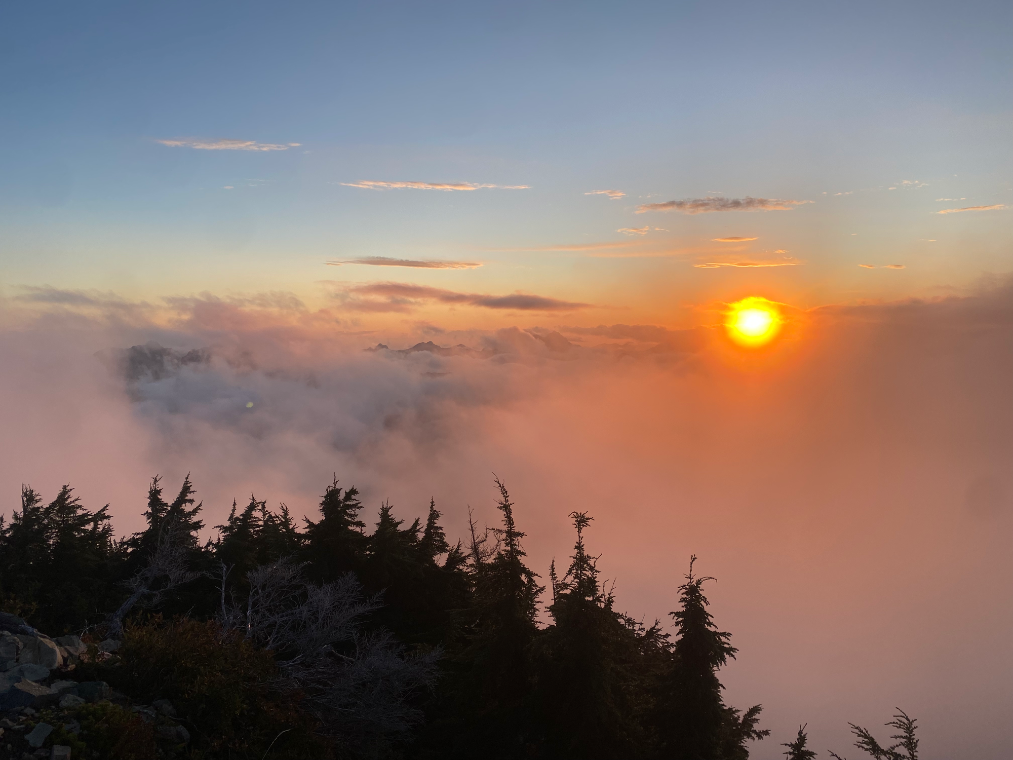
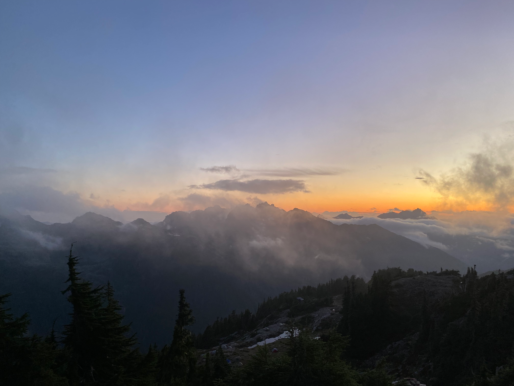
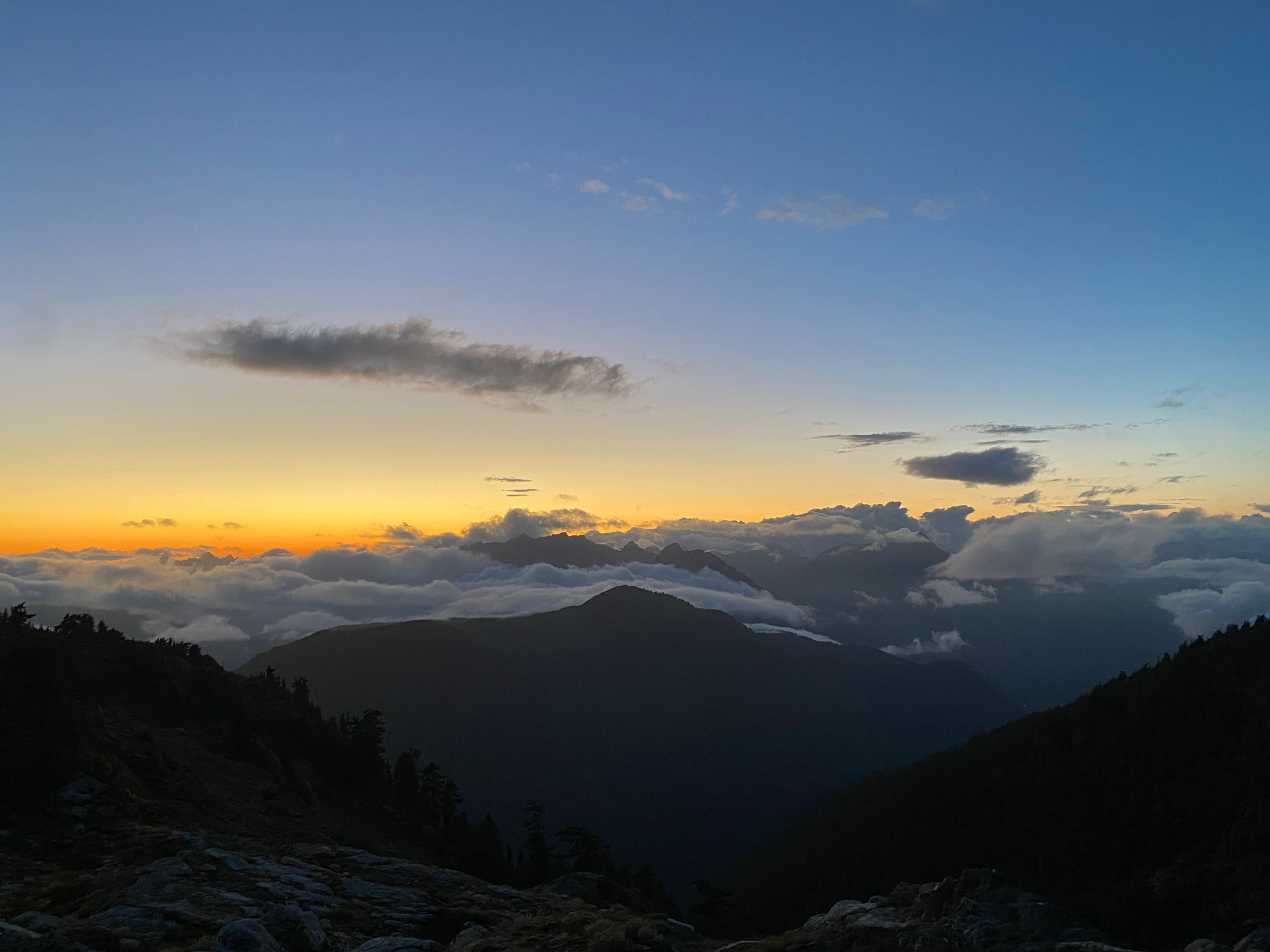

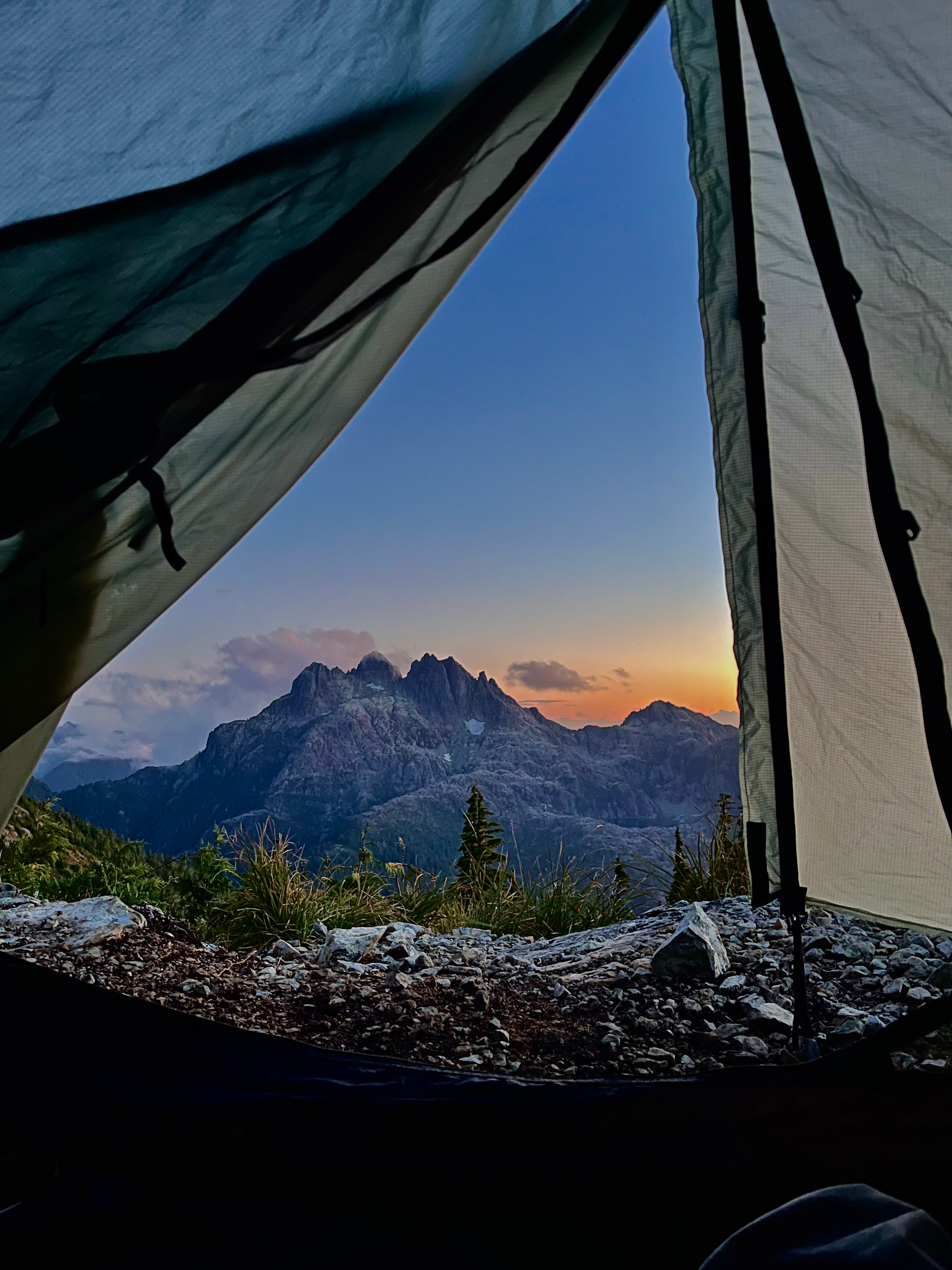
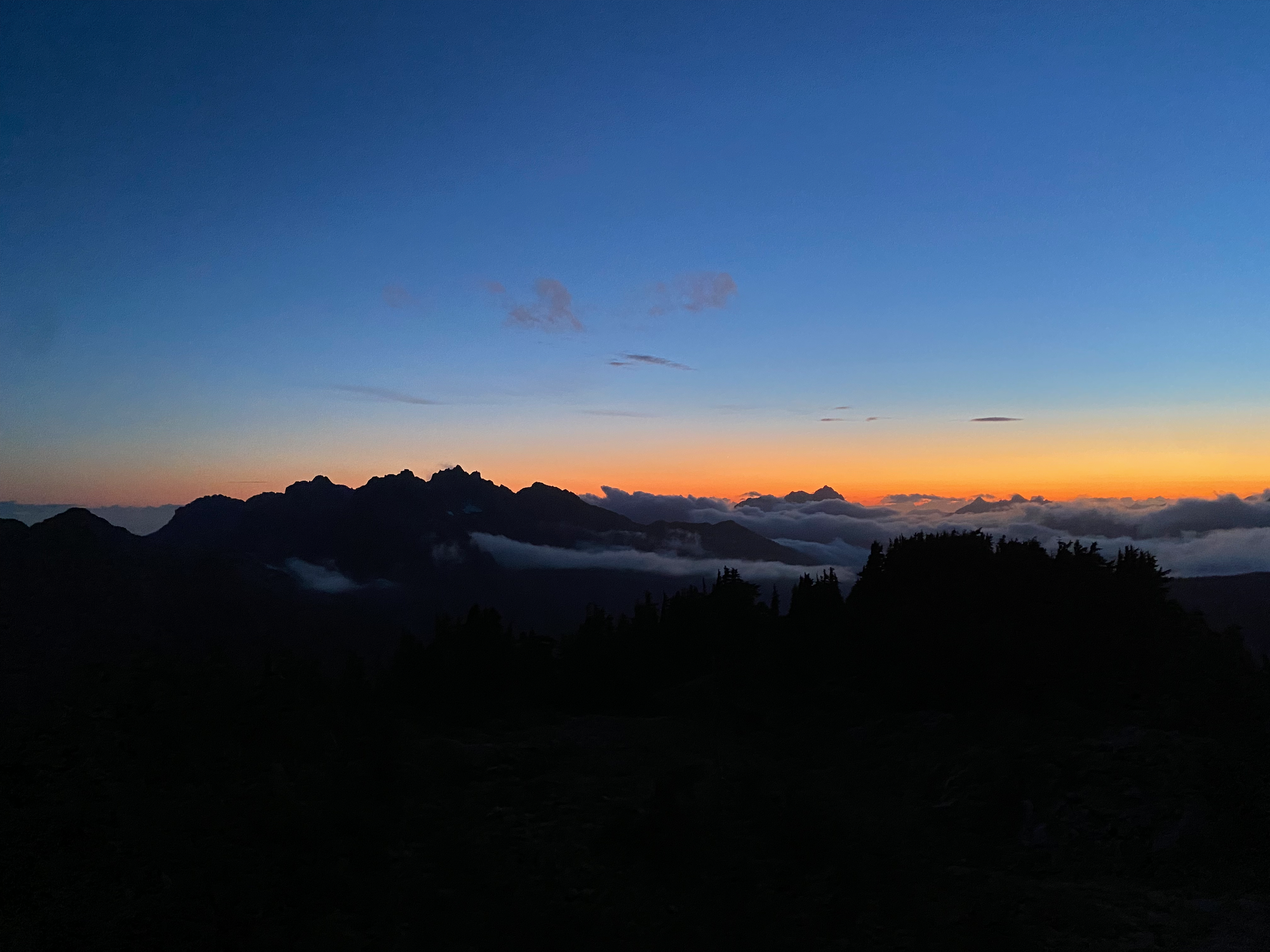
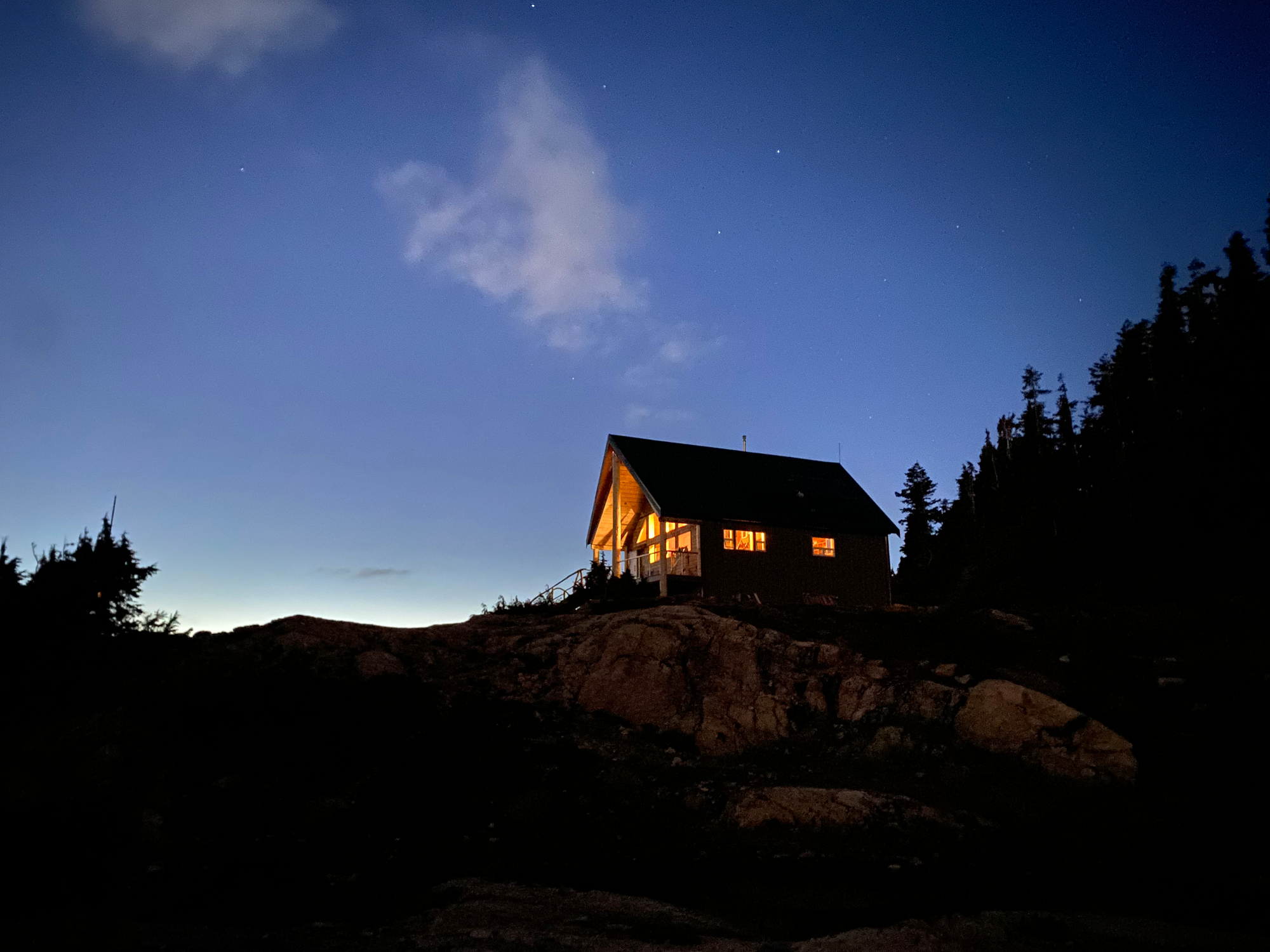
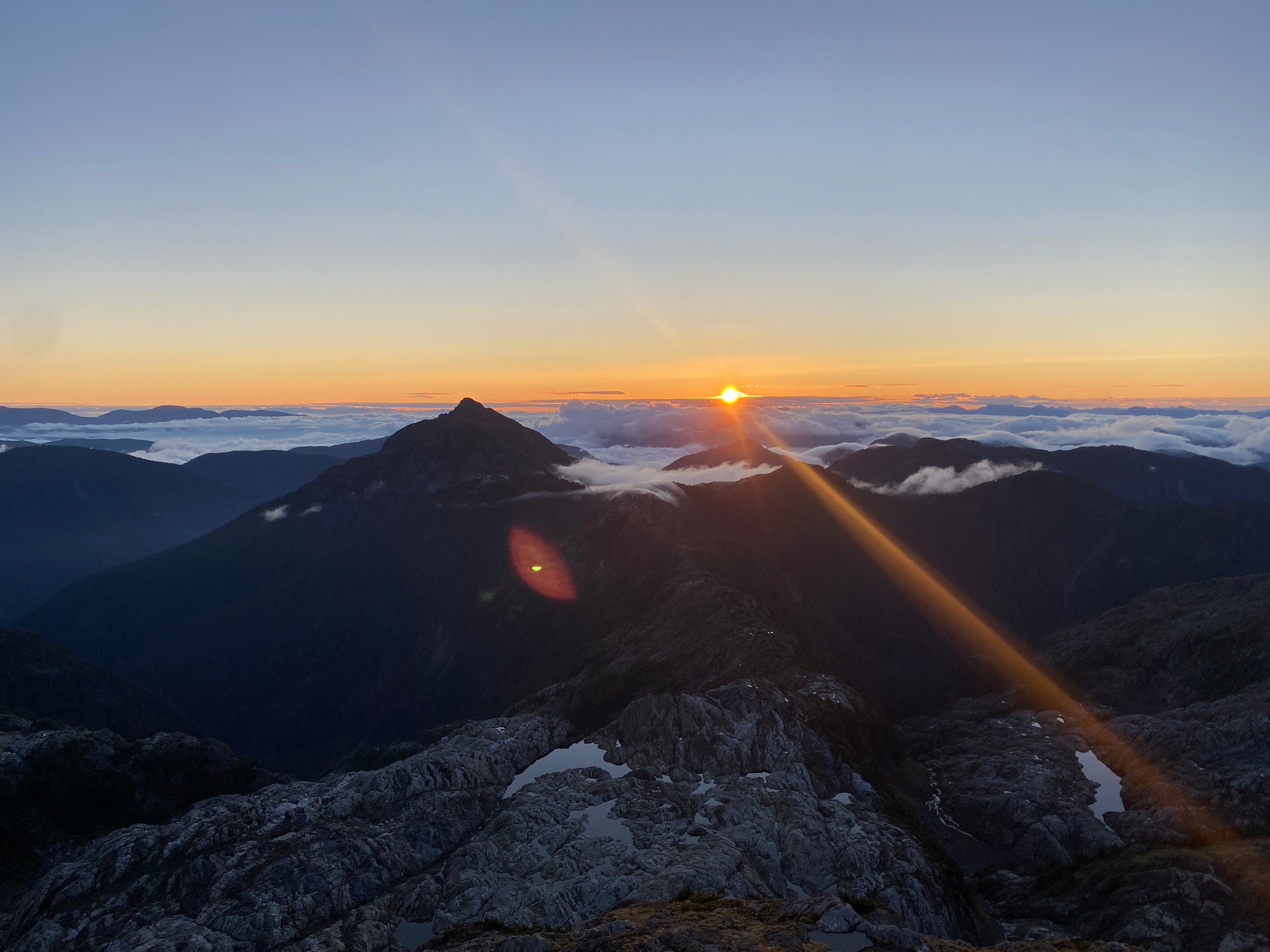
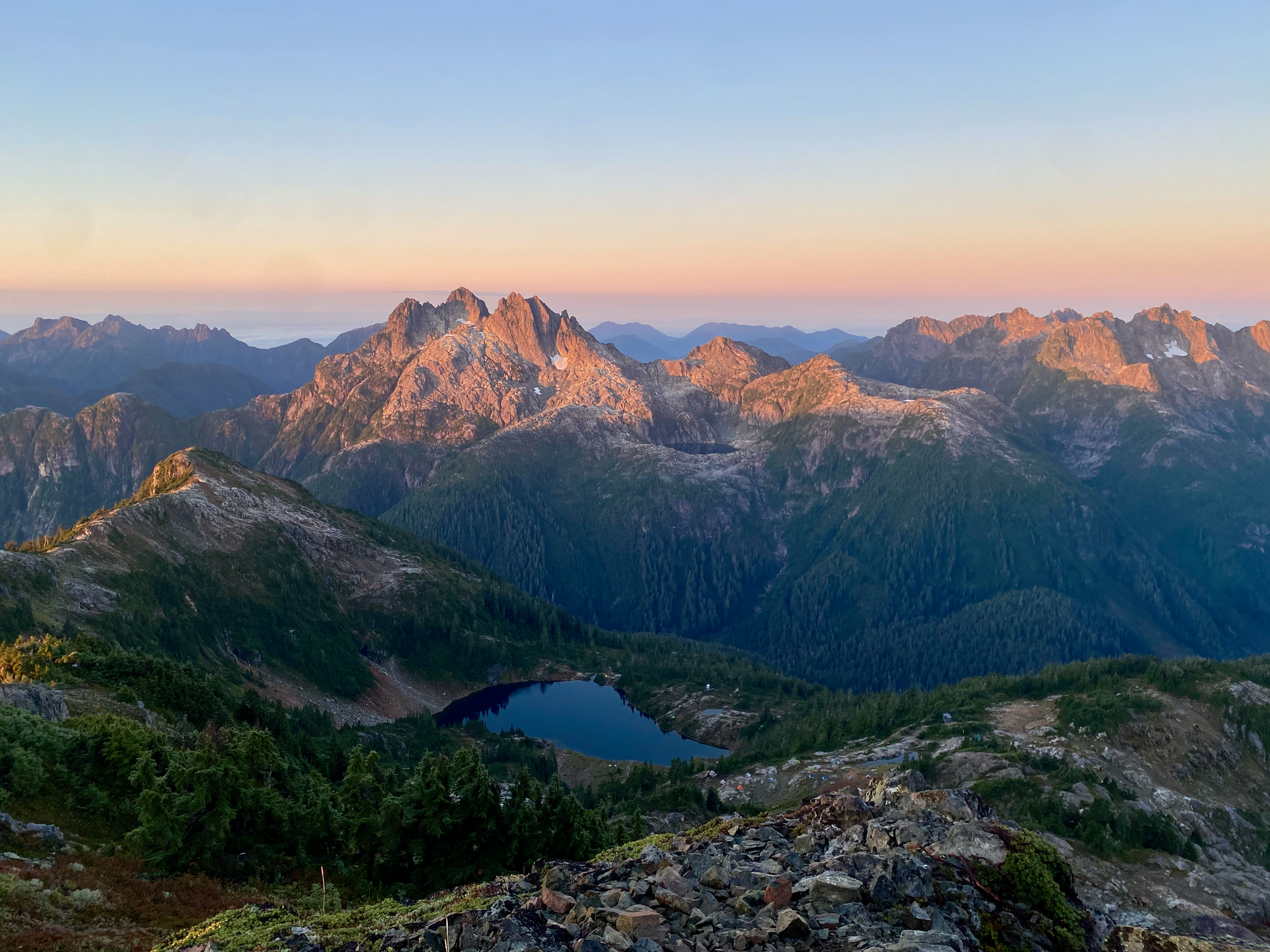
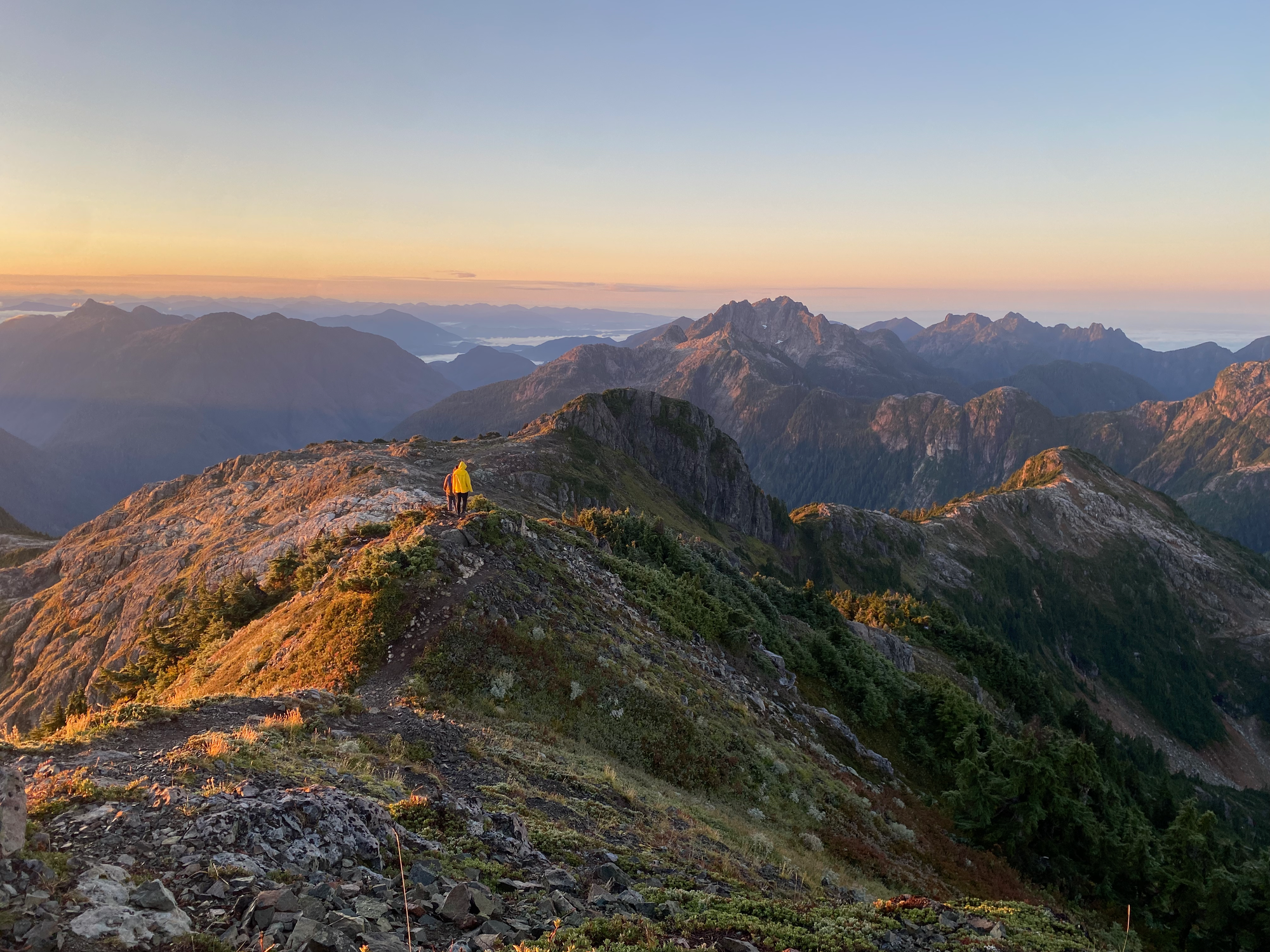
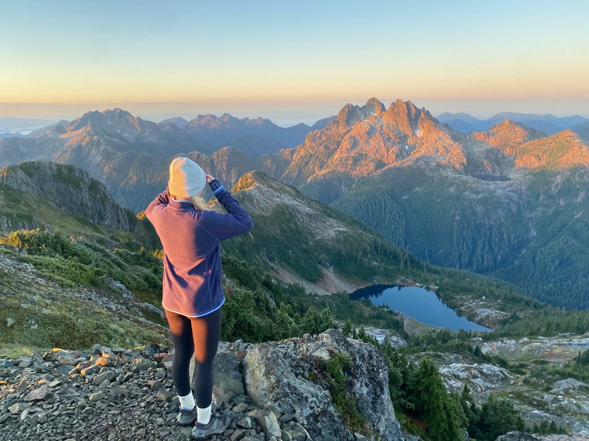
The next morning we woke up at 6 and returned to the summit to watch the sunrise. This was just as magical as the sunset, with Triple Peak and the surrounding ridges glowing red and an ocean of fog covering the distant valleys.
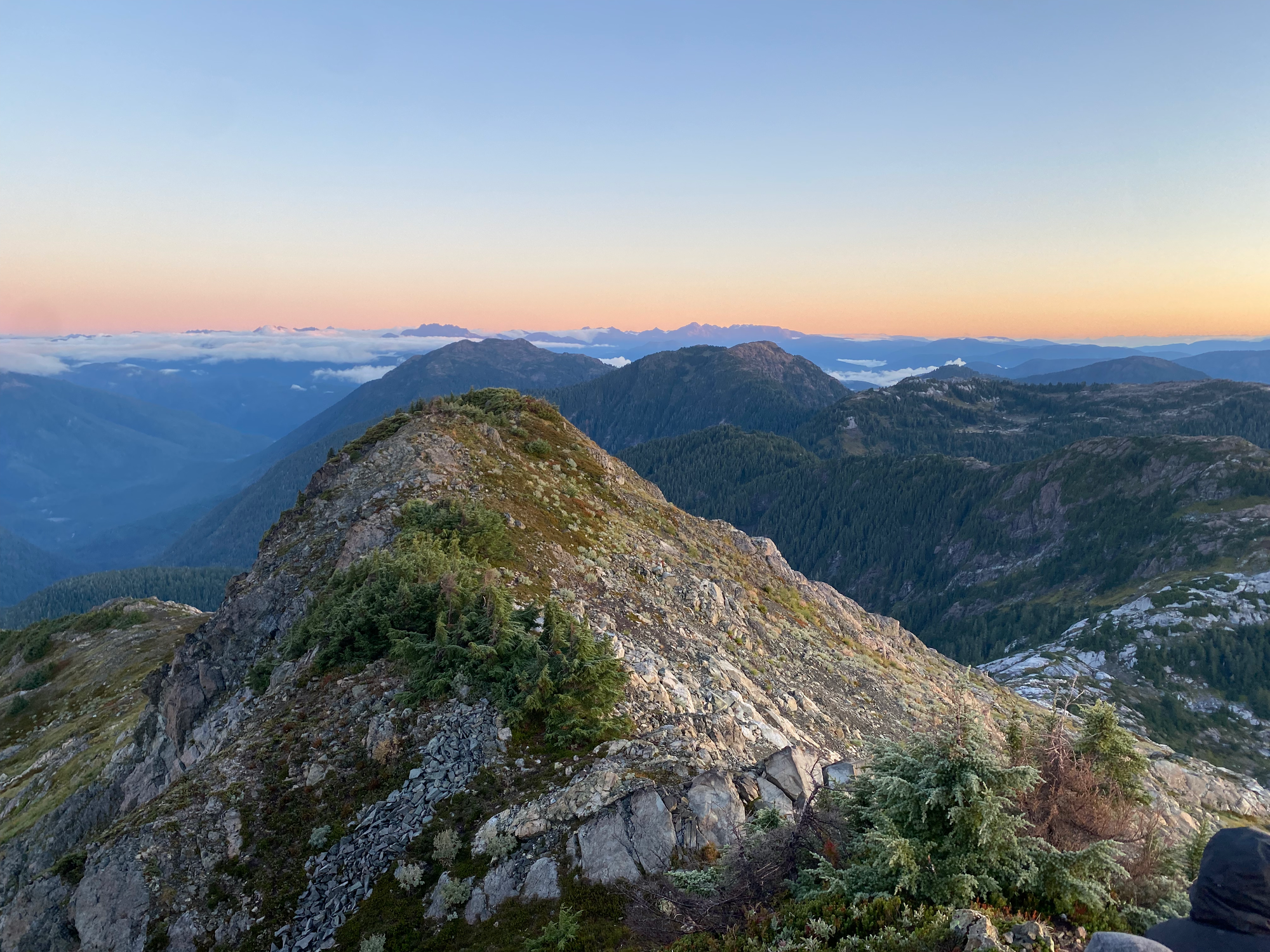
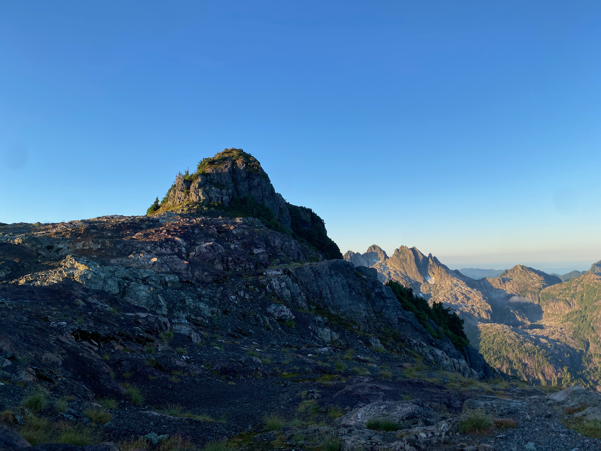
Eventually it was time to head down. On the descent we quickly explored a small sub-peak on the other side of the saddle. It's a short walk offering similar views to the main summit.
After that, we packed up and quickly made our way back to the car. After a pit stop to get donuts in Port Alberni, we drove back to Nanaimo where I dropped Isla off at the ferry.


Member discussion